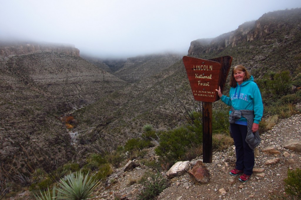
Los Padres National Forest
California
Managed by U.S. Forest Service, Pacific Southwest Region
1,963,836 acres (1,762,767 federal/ 201,069 other)
Website: http://www.fs.usda.gov/r05/lospadres
Overview
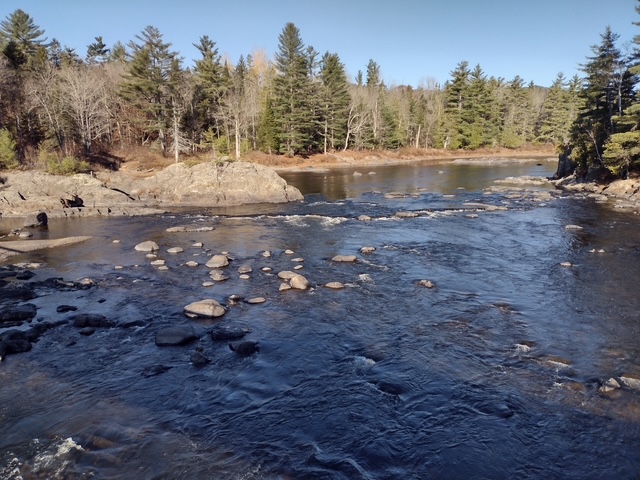
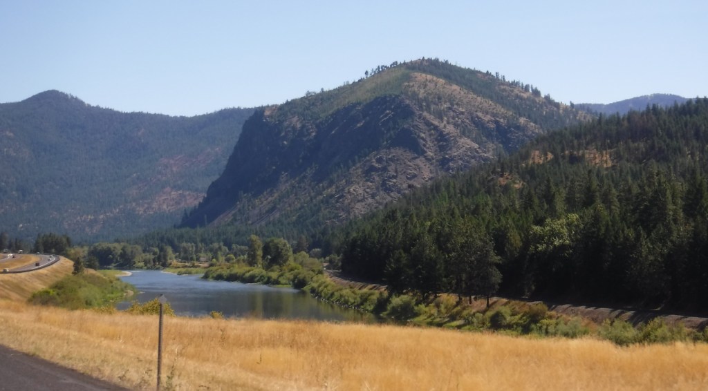
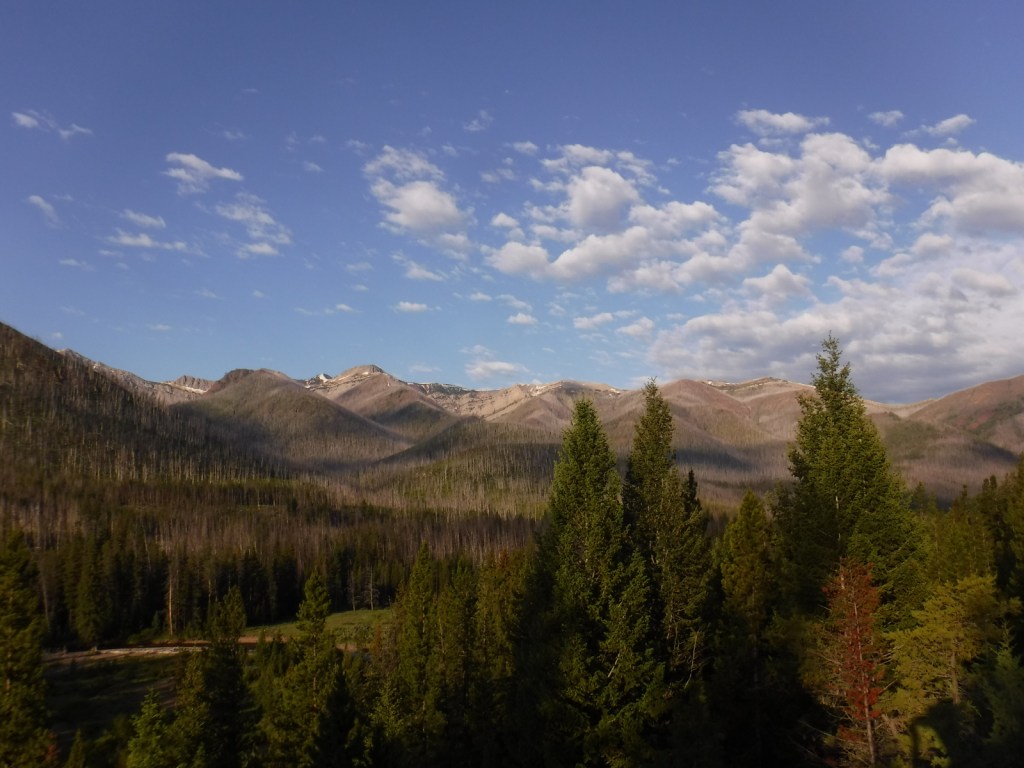
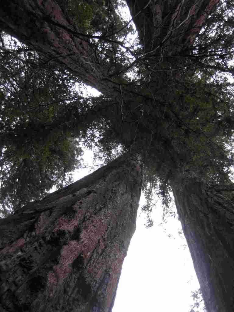
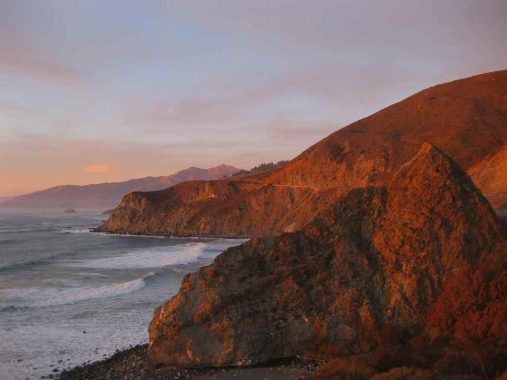
Los Padres National Forest stretches more than 200 miles from Monterrey south beyond Santa Barbara. It contains most of Big Sur, a name that conjures images of craggy cliffs dropping precipitously into white-capped ocean waves. This sparsely inhabited stretch of coastline is known as much for its historic bohemians as its coast redwood trees. It is home to multiple rare tree species with limited native ranges, especially those that can tolerate serpentine soils. As the only National Forest in California that touches the Pacific Ocean, a road trip down scenic Highway 1 should be on everyone’s bucket list, including stops at Julia Pfeiffer Burns State Park, Bixby Creek Bridge, Hearst Castle State Park, and the elephant seal rookery at Piedras Blancas. We have hiked many trails here since Scott taught for three years at Cal Poly State University in San Luis Obispo.
Know someone who loves the National Forests? Gift them our travel guidebook Out in the Woods so they can learn more about this and the 154 other National Forests.

Highlights
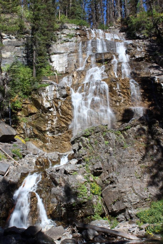
Big Sur, Sykes Hot Springs, Salmon Creek Falls, Jade Cove, Cuesta Ridge Botanical Area, Figueroa Mountain, Mt. Pinos, Knapp’s Castle, Seven Falls, Sespe Hot Springs
Must-Do Activity
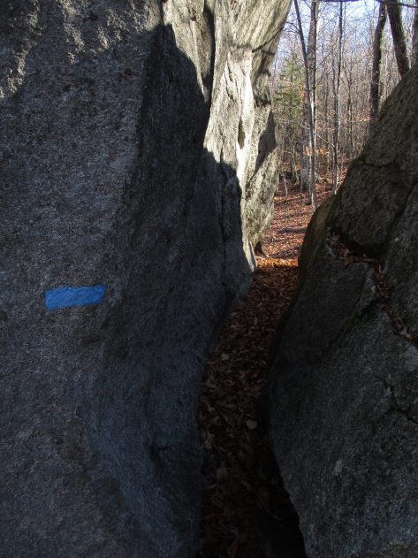
Los Padres National Forest is 48% designated Wilderness, so the recommended activity is to hike into those natural areas. The Matilija Wilderness is in the Santa Ynez Mountains that loom above the coastal city of Santa Barbara, home to a university, art museum, and historic Presidio built in 1782. If you go to hike to the ruins of Knapp’s Castle in the National Forest, also make a quick stop at Chumash Painted Cave State Historic Park, which contains colorful pictographs dating back to the 1600s. Another popular U.S. Forest Service trailhead located closer to town goes either to Inspiration Point or Seven Falls, the latter a better choice on foggy days, which are common on the coast.
Best Trail
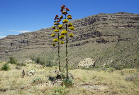
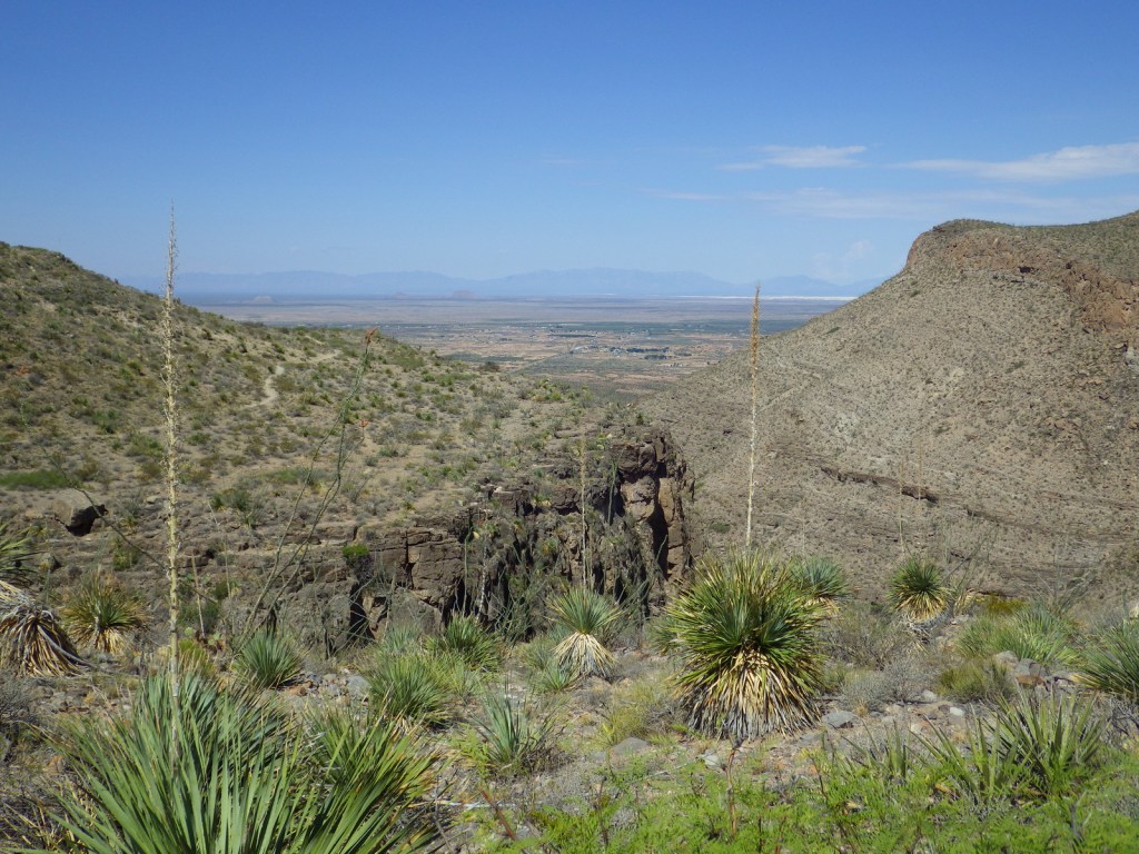
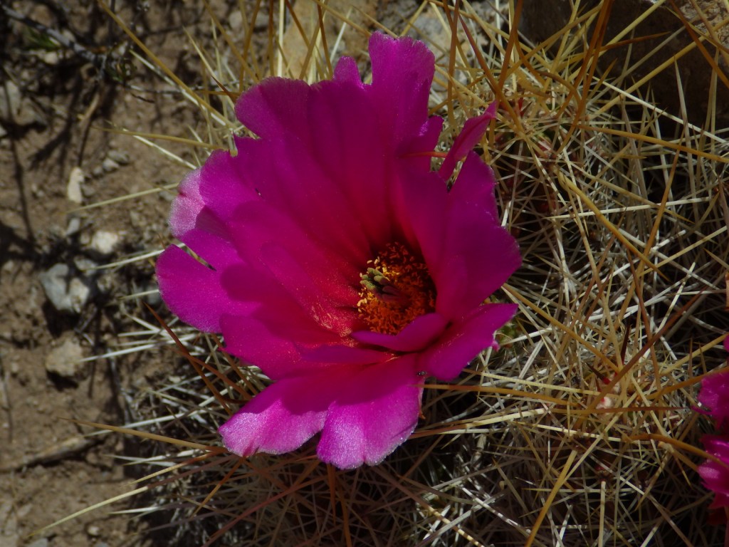
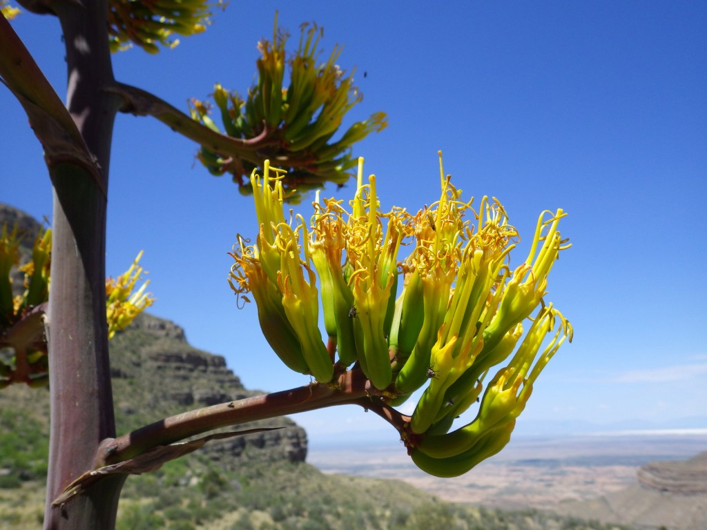
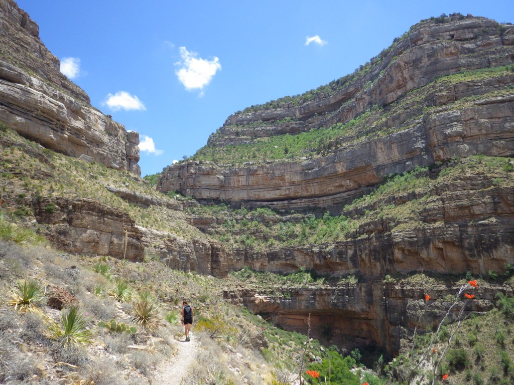
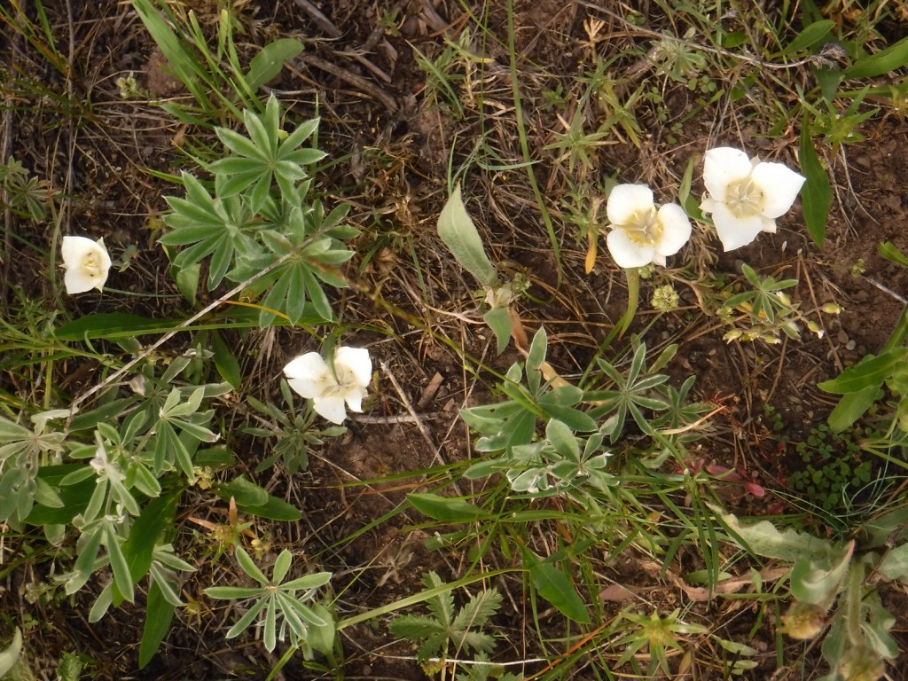
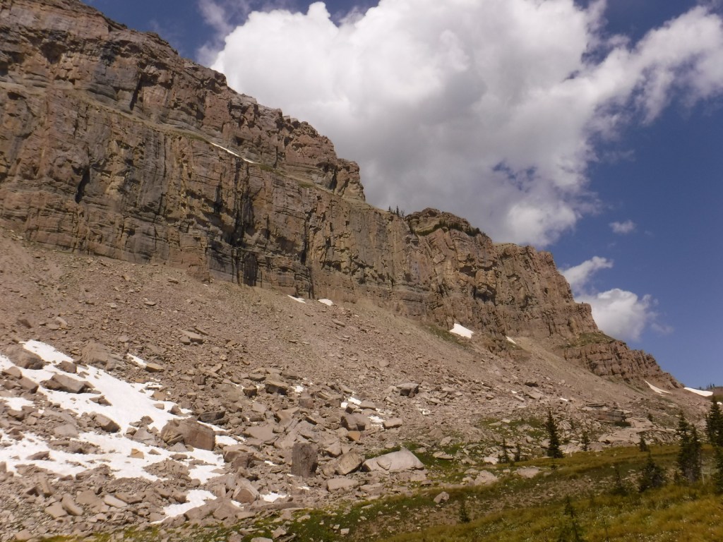
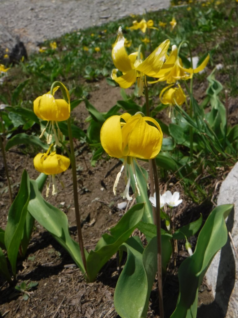
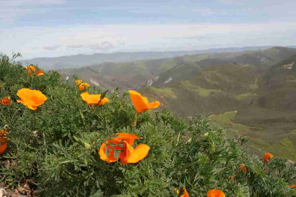
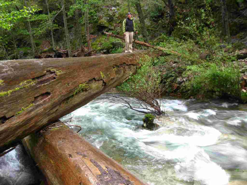
There are 323 miles of incredible hiking trails throughout Los Padres National Forest, including a few that access hot springs. Our favorite trails are in the Santa Lucia Mountains that tower above Big Sur. One pinnacle accessible by trail is Cone Peak at 5,155 feet in elevation. The access road is typically closed in the winter, but when it is open the trail is only 2.3 miles to the summit with a vertical gain of 1,400 feet. Do not expect any shade since multiple fires have burned most of the mountain, although there are still a few surviving examples of the rare Santa Lucia fir tree. Although some areas are no longer vegetated, the plentiful sunshine above the fog belt means there are often incredible displays of wildflowers along the trail early in summer, including lupine, sticky monkeyflower, and yucca.
Watchable Wildlife
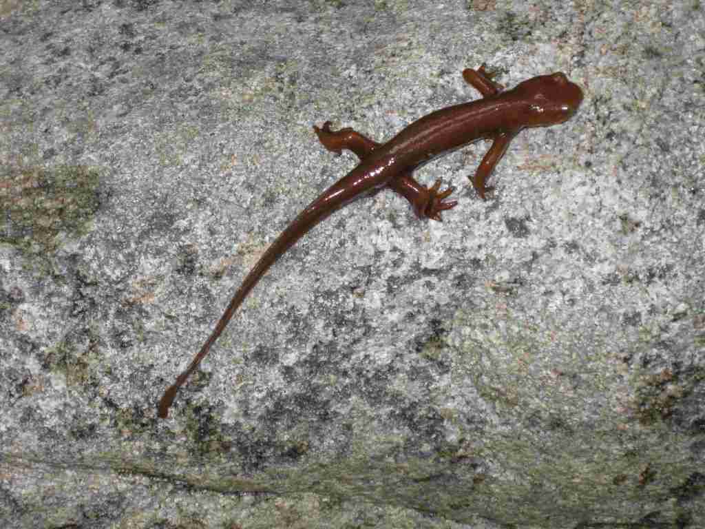
There is a wide range of wildlife found here from sea level up to 8,847 feet in elevation, and the most famous is the reintroduced California condor that nests in the Sespe Condor Sanctuary. Other birds include barn owls, great horned owls, red-tailed hawks, bald eagles, California quail, and California scrub jays. Coyotes, black bears, bobcats, mountain lions, black-tailed deer, bighorn sheep, and raccoons are common large mammals. Species of concern include the foothill yellow-legged frog and California mountain kingsnake. Look for California newts and banana slugs in the moist understory of coast redwood forests.
Photographic Opportunity
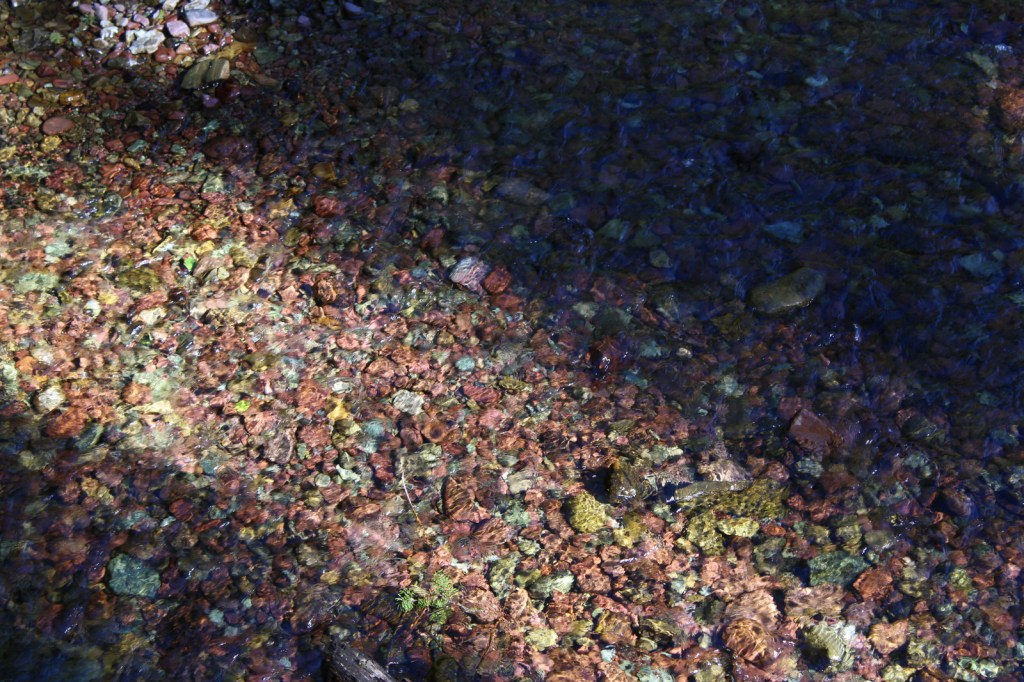
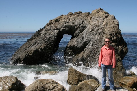
Even if you are not spending the night at Kirk Creek Campground, you can park and walk down the trail to the south that goes past redwood trees to the beach where there is a sea arch and tidepools.
Peak Season
Fall and winter
Fees
$5 per vehicle Adventure Pass (or America the Beautiful pass) required at most trailheads
Road Conditions
There are some steep unpaved roads in Los Padres National Forest, which can be impassable in wet or snowy conditions. Portions of the unpaved Tassajara Road to Chews Ridge are narrow and steep, requiring a four-wheel-drive vehicle to reach Tassajara Hot Springs.
Camping
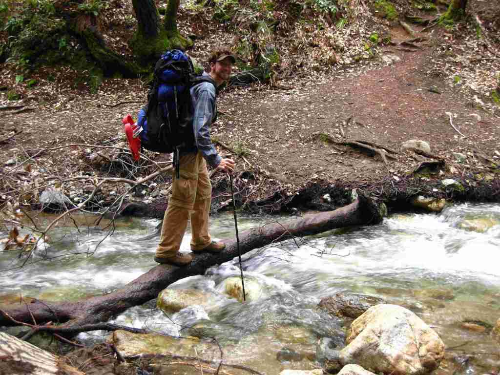
A night spent listening to the ocean waves breaking far below the U.S. Forest Service’s clifftop Kirk Creek Campground is enchanting, which is why it made it on our list of Top 10 Campgrounds in National Forests. There are 11 campgrounds in total, and a free campfire permit is required if you use a camp stove (which can be obtained online). Sespe Hot Springs is a popular ten-mile one-way backpacking destination.
Wilderness Areas
Chumash Wilderness
Dick Smith Wilderness
Garcia Wilderness
Machesna Mountain Wilderness
Matilija Wilderness
San Rafael Wilderness
Santa Lucia Wilderness
Sespe Wilderness
Silver Peak Wilderness
Ventana Wilderness
Related Sites
Angeles National Forest (California)
Muir Woods National Monument (California)
Point Reyes National Seashore (California)
Channel Islands National Park (California)
Nearest National Park

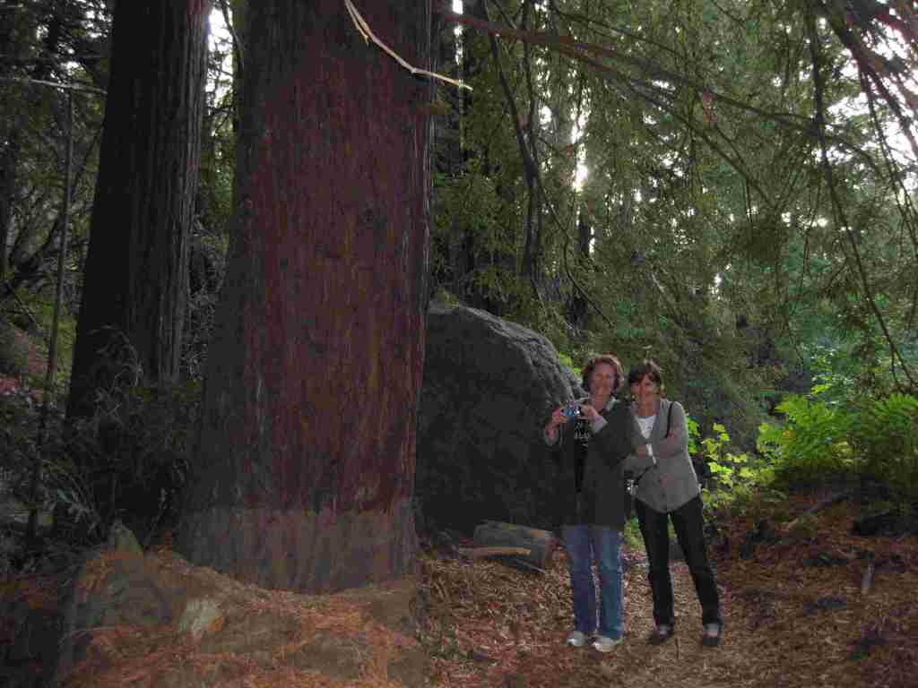


coast redwood, Monterey pine, Coulter pine, gray pine, Jeffrey pine, ponderosa pine, limber pine, bigcone Douglas-fir, Sargent cypress, Monterey cypress, white fir, Santa Lucia fir
coast live oak, California black oak, tanoak, western redbud, Pacific madrone, manzanita
Explore More – What is the name of the nomadic group that lived in Big Sur dating back 5,500 years ago?

Know someone who loves the National Forests? Gift them our travel guidebook Out in the Woods so they can learn more about this and the 154 other National Forests.