Overview
Only 3 hours from Seattle, 14,410-foot tall Mount Rainier dominates the skyline in all directions. It spends many days cloaked in clouds, so your best view might be out a tiny airplane window before landing at Sea-Tac Airport. It is an active volcano, uncomfortably close to a population of millions, but it provides recreational opportunities year round. The park truly contains the wonderland for which its 93-mile circumnavigating trail is named.

Highlights
Paradise, Sunrise, Grove of the Patriarchs Trail, Wonderland Trail
Must-Do Activity
Despite receiving an average of 680 inches of snow annually, the road to Paradise is open all year. Even in July, you should pack your snowshoes to follow the 5.5 mile Skyline Loop or the 1.2 mile long Nisqually Vista Trail. This is the jumping off point for most mountaineers attempting to summit the volcano.
Best Trail
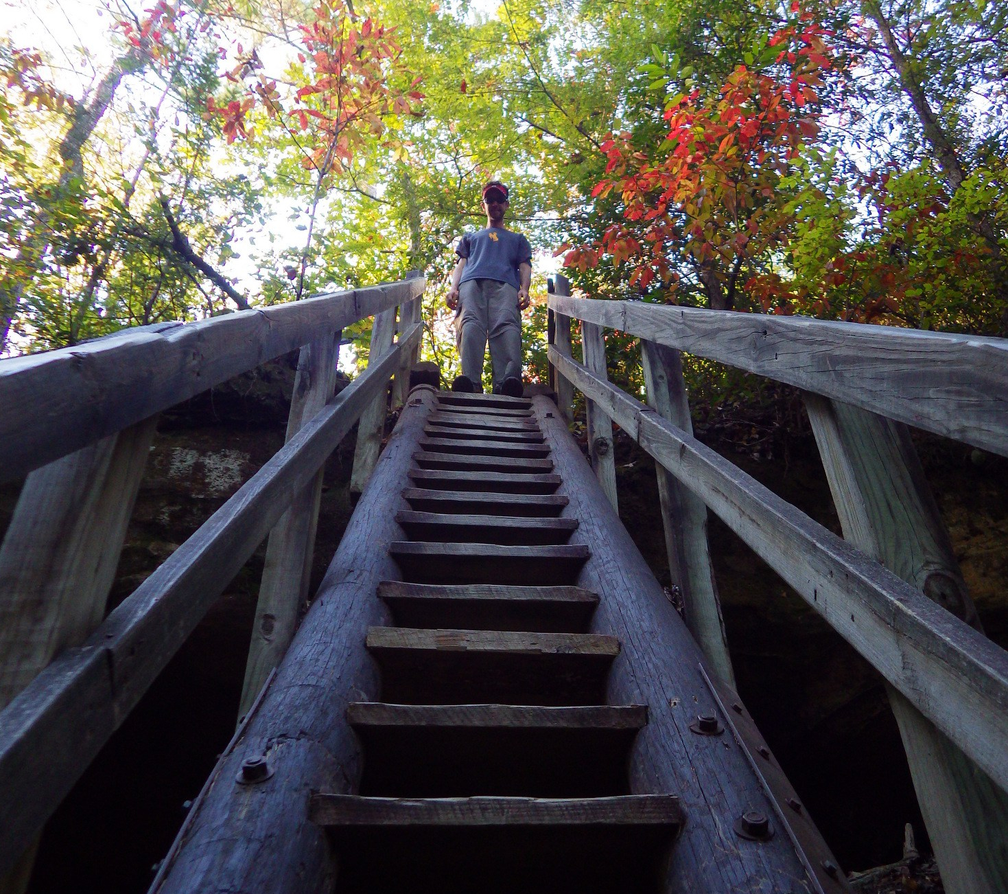
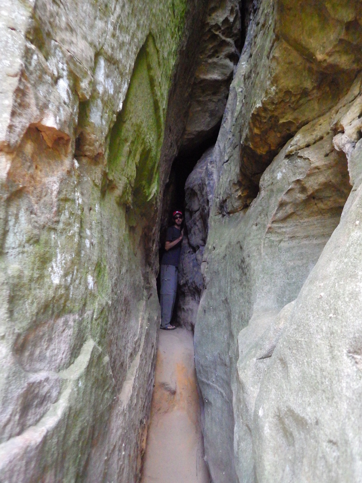
A really fun (or scary) swinging footbridge grants access to the Grove of the Patriarchs Trail (1.2 miles roundtrip), where giant Douglas-fir trees tower to more than 300 feet in height.
Instagram-worthy Photo
Reflection Lake is right off the main park road east of the Paradise turnoff. When there is no wind, it offers a stunning mirror view of Mount Rainier.

Peak Season
Summer, but expect heavy snowpack through July and at least 9 months a year.
Hours
https://www.nps.gov/mora/planyourvisit/hours.htm
Fees
$30 per vehicle or America The Beautiful pass
Road Conditions
The main roads to Paradise and Sunrise are paved, though the latter is closed October to July, as is the dirt road that accesses Mowich Lake. The Carbon River Road in the northwest corner was washed out in 2006, but is still walkable for 5 miles one-way to access Ipsut Creek Campground.
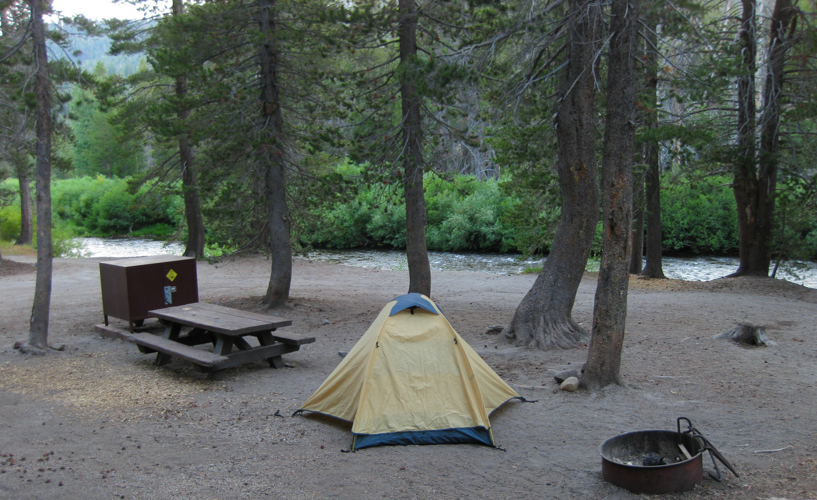
Camping
There are several large campgrounds that accept reservations, but White River Campground near Sunrise has 112 sites available on a first-come, first-served basis.

Paradise still buried in snow in July 

September wildflowers in Sunrise 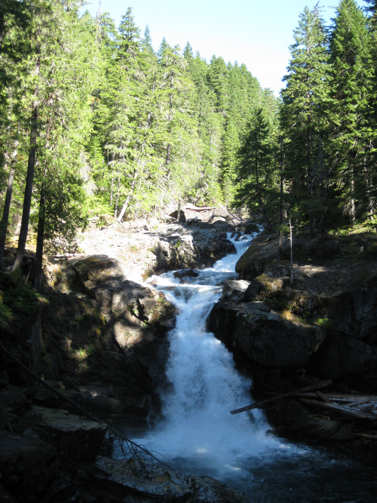

Grove of the Patriarchs Trail
Grove of the Patriarchs Trail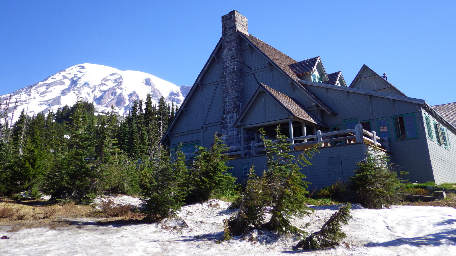
Paradise Inn 
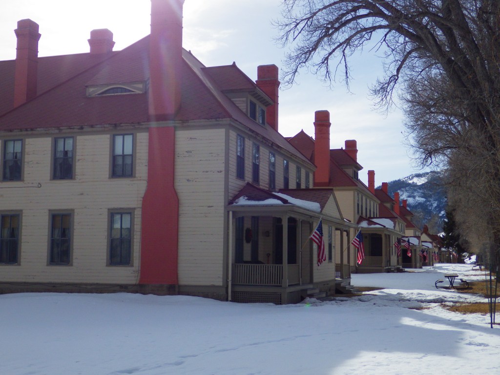
Longmire Historic District 

Glaciers of Mt. Rainier
This design we created to celebrate Mount Rainier National Park is available on a variety of products at Cafe Press and Amazon.


Explore More – How many different glaciers cling to the sides of the Mount Rainier volcano?
We are a participant in the Amazon Services LLC Associates Program, an affiliate advertising program designed to provide a means for us to earn fees by linking to Amazon.com and affiliated sites.