Overview
When most folks think of Nebraska they imagine endless dusty prairie scenes of the Oregon Trail, yet between the wide Platte and Missouri Rivers also runs the 535-mile long Niobrara River. The Niobrara cuts across the 100th Meridian of Longitude that roughly divides in half the continental U.S. This special area is home to species representative of the eastern forests, Rocky Mountains, boreal forests, and prairies; consequently it has high biodiversity. The motto on the National Park Service (NPS) signs is “Public Waters, Private Land.”
Highlights
Fort Niobrara National Wildlife Refuge, Fort Falls Trail, Smith Falls State Park, canoeing, tubing
Must-Do Activity
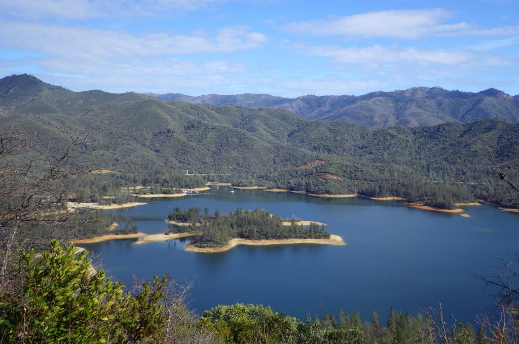
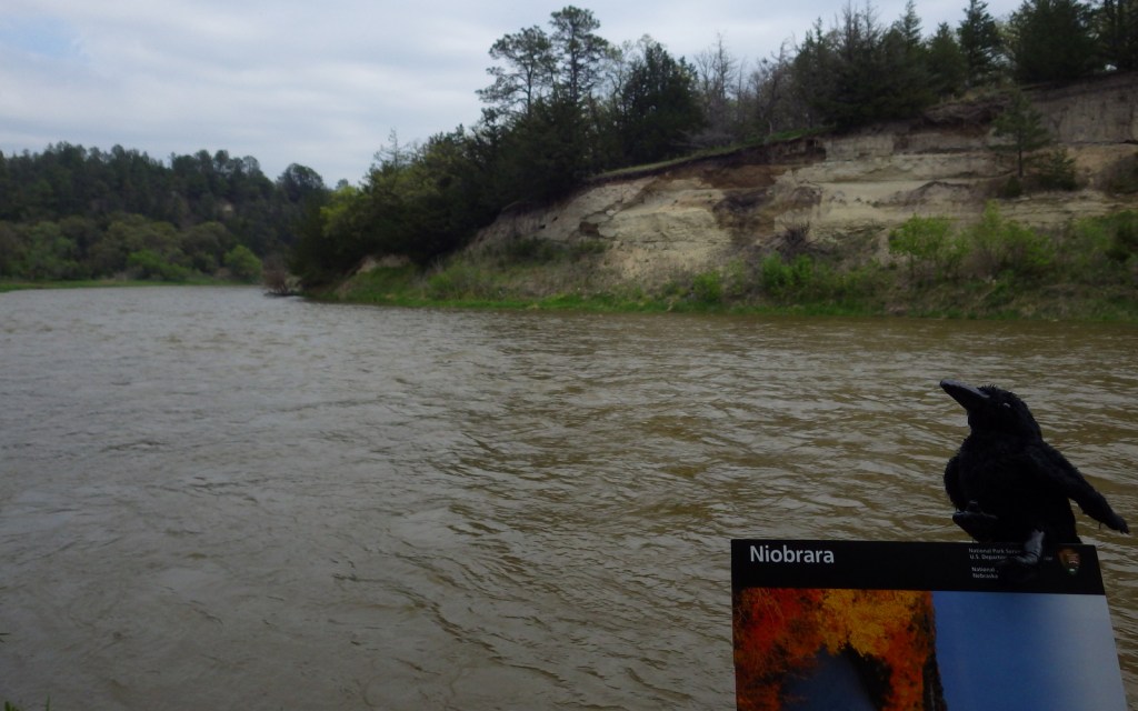
The 76-mile section of river designated the Niobrara National Scenic River in 1991 begins within Fort Niobrara National Wildlife Refuge where the first 4.8 miles are closed to the public. The 22-mile section starting from Cornell Bridge is the most popular portion for canoers, tubers, and people who float downstream in round metal cattle troughs. The Niobrara River has a few big Class IV rapids, but nothing more than Class II through the first 27 miles. We floated to the portage at dangerous Rocky Ford Rapid at high water in May and encountered only Class I rapids and a few strainers along the shorelines.
Best Trail
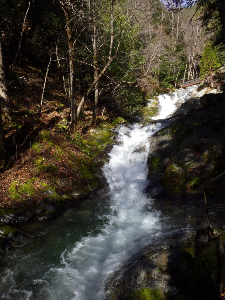
Pull off the river around Mile 15 in Smith Falls State Park to take the short boardwalk to a 63-foot tall waterfall. The waterfalls along these cliffs are interesting because instead of pouring off a cut bank they develop a prominent ledge that grows as the limestone is dissolved and redeposited (like a cave formation). You can also drive to the state park and walk over the Niobrara River on the Verdigre Bridge, originally built in 1910 and relocated here in 1996.
Instagram-worthy Photo
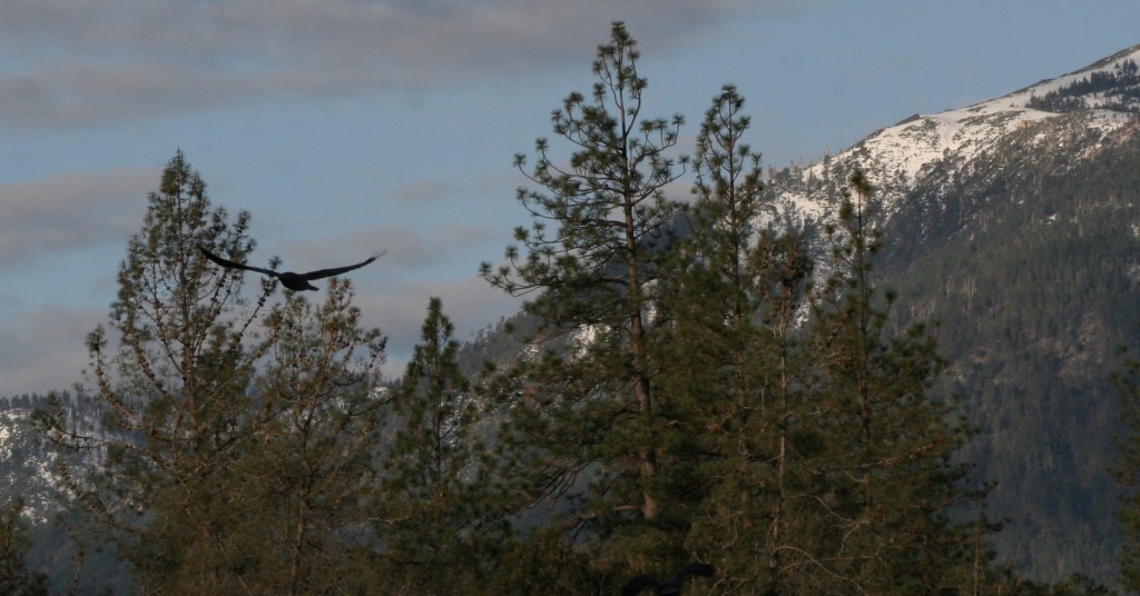
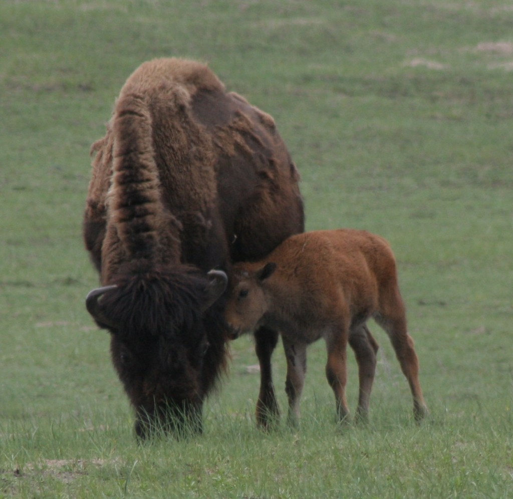
Do not miss the opportunity to drive the dirt road through Fort Niobrara National Wildlife Refuge to see the bison herd, especially in May when the bison calves are born. The refuge also contains the short Fort Falls Trail, which forms a loop with views of a 45-foot tall waterfall.
Peak Season
Summer, though water levels drop after June.
Hours
https://www.nps.gov/niob/planyourvisit/hours.htm
Fees
None for the river, but there is a $1 per person launch fee in Fort Niobrara National Wildlife Refuge and entry/camping fees at Smith Falls State Park.
Road Conditions
The dirt roads in Fort Niobrara National Wildlife Refuge and Smith Falls State Park are well-maintained and passable to all vehicles.
Camping
Camping options are limited since most of the river banks are privately owned, though Smith Falls State Park offers a campground ($6/person/night) and other private campsites are marked on river maps.
Related Sites
Missouri National Recreation River (Nebraska-South Dakota)
Agate Fossil Beds National Monument (Nebraska)
Scotts Bluff National Monument (Nebraska)

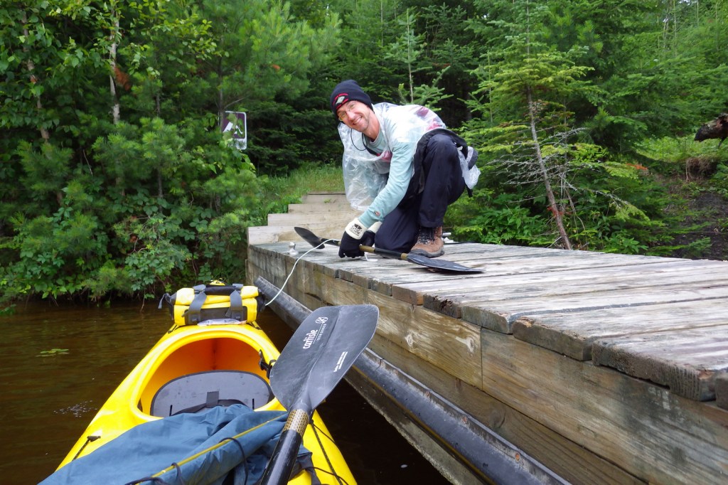
Canoe launch in Smith Falls State Park 
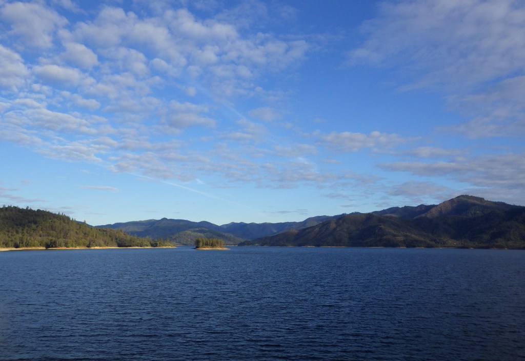
A view downstream from Verdigre Bridge in Smith Falls State Park. 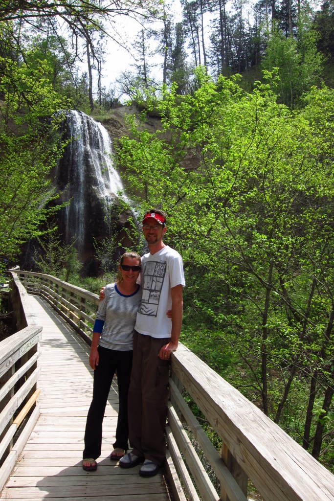
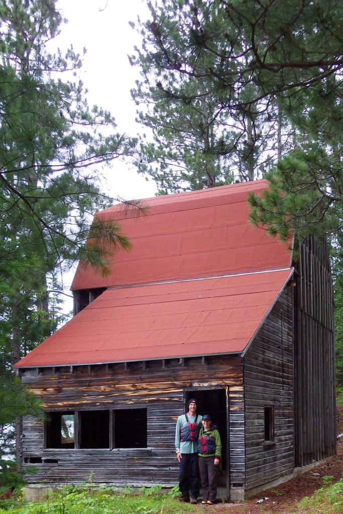
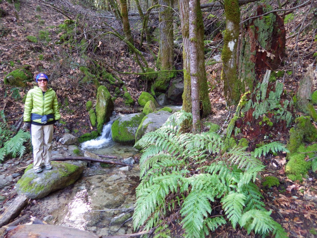
Tiff and Scott on the trail to Smith Falls 
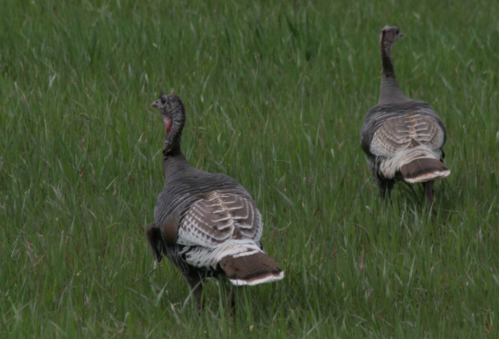
Wild turkeys 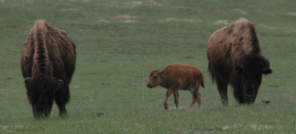
Bison graze in Fort Niobrara National Wildlife Refuge. 

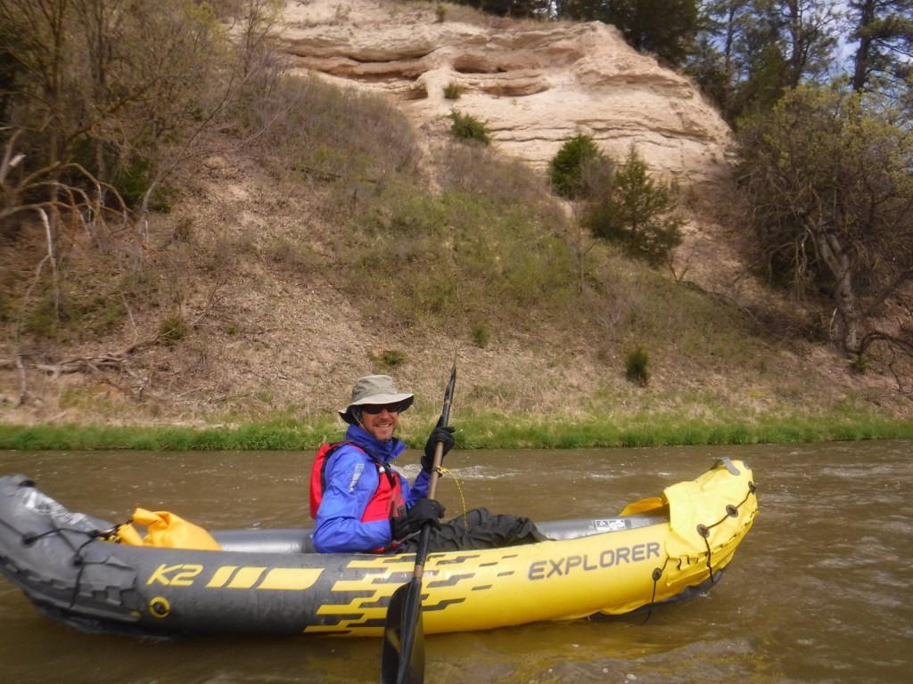
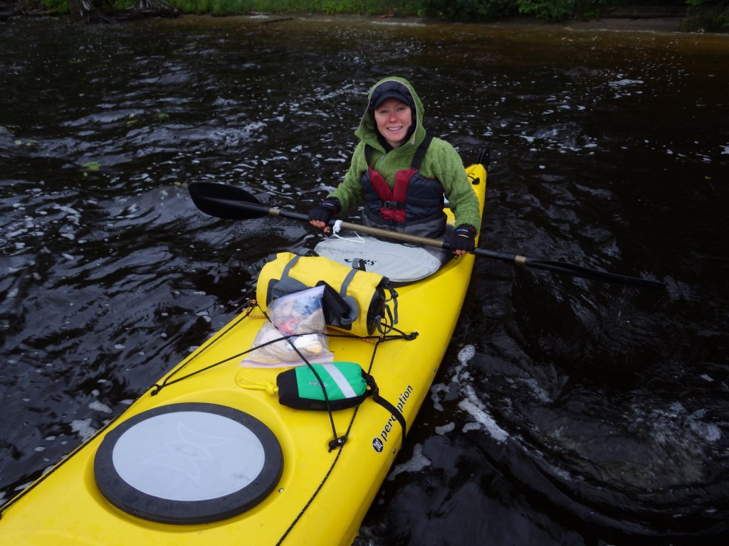
Scott kayaking in May 2020 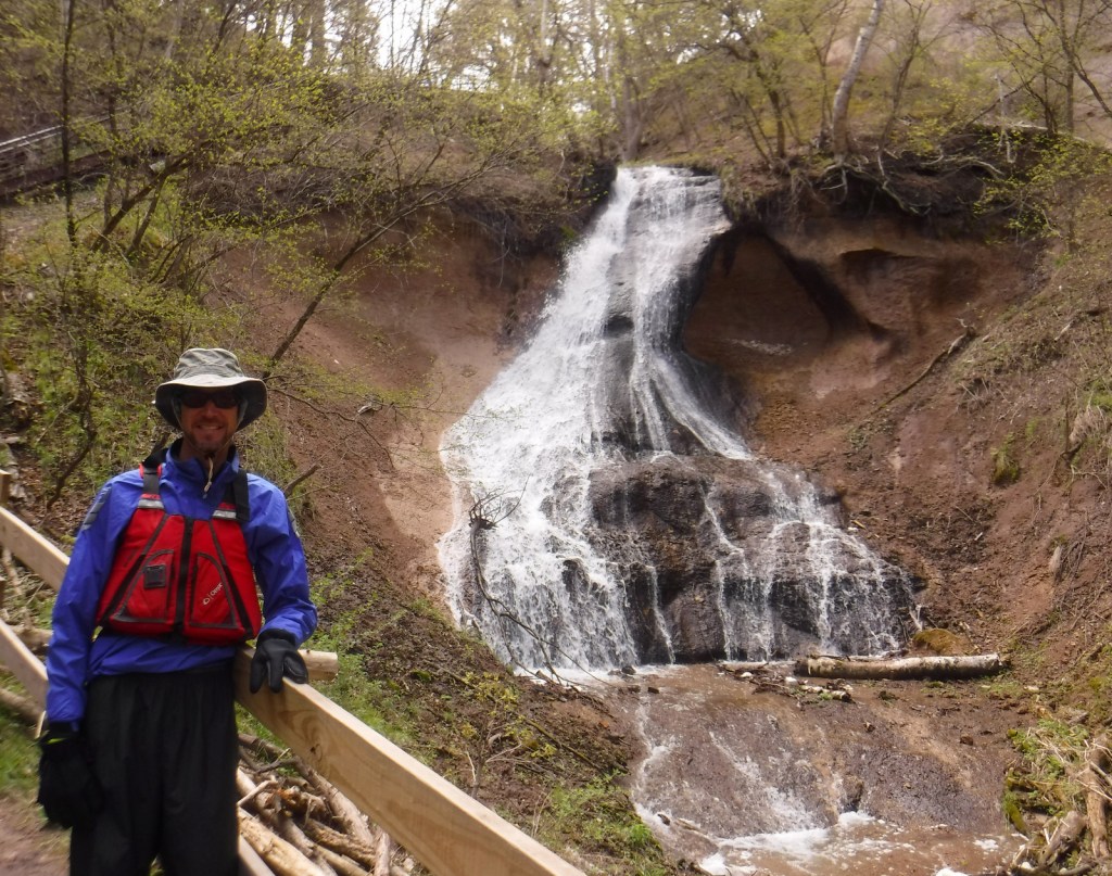
Scott at Fort Falls 
Tiff kayaking 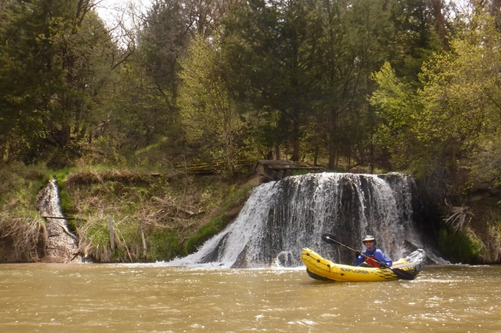
Scott at Berry Falls 
Class III Rocky Ford Rapid requires a portage
Explore More – Named for a town in Nebraska, the Valentine Formation holds what types of fossils?