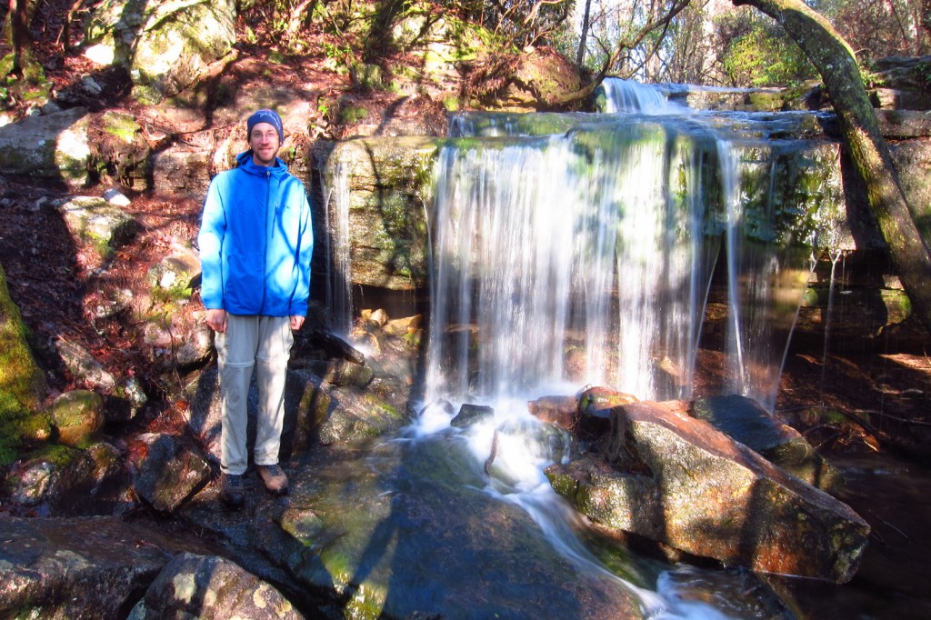
Who doesn’t love a beautiful waterfall? America’s National Park Service (NPS) sites are full of some of the prettiest examples of flowing water in the world. A few can be seen from drive-up overlooks, while others require a hike, but they are all worth the effort. We already ranked the best waterfalls of the 62 National Parks and now are releasing a top 10 list for the other 358 NPS units (click here to see all our Top 10 lists).
10. Lake Chelan National Recreation Area (Washington)
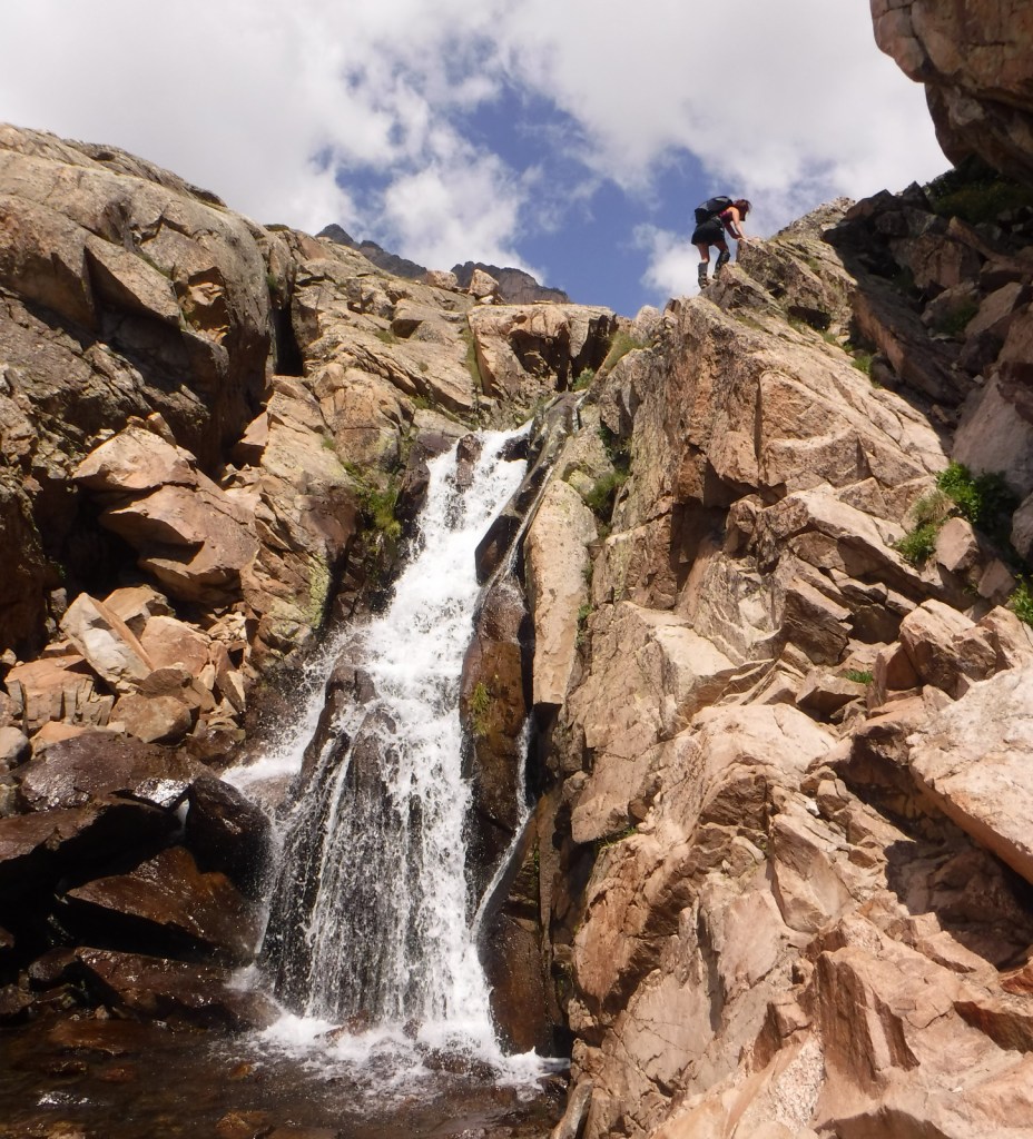
The Cascade Mountains are named for their waterfalls, including Rainbow Falls in Stehekin.

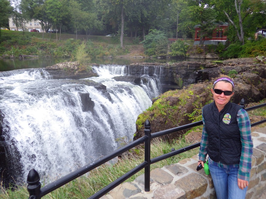
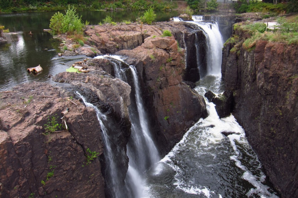
9. Paterson Great Falls National Historical Park (New Jersey)
Unobstructed views of this 77-foot tall waterfall are difficult to find in its urban setting.
8. Buffalo National River (Arkansas)
Hemmed-In-Hollow features a 210-foot tall waterfall, accessible by a long hiking trail or a shorter walk from the river.
7. Mississippi National River and Recreation Area (Minnesota)
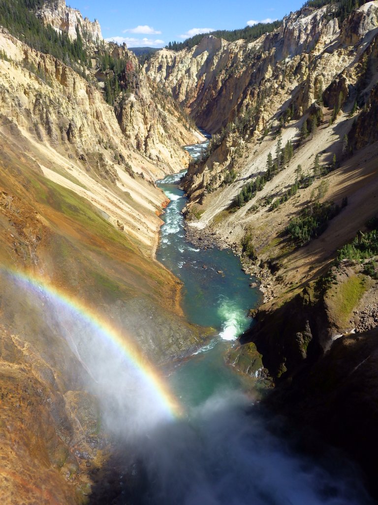
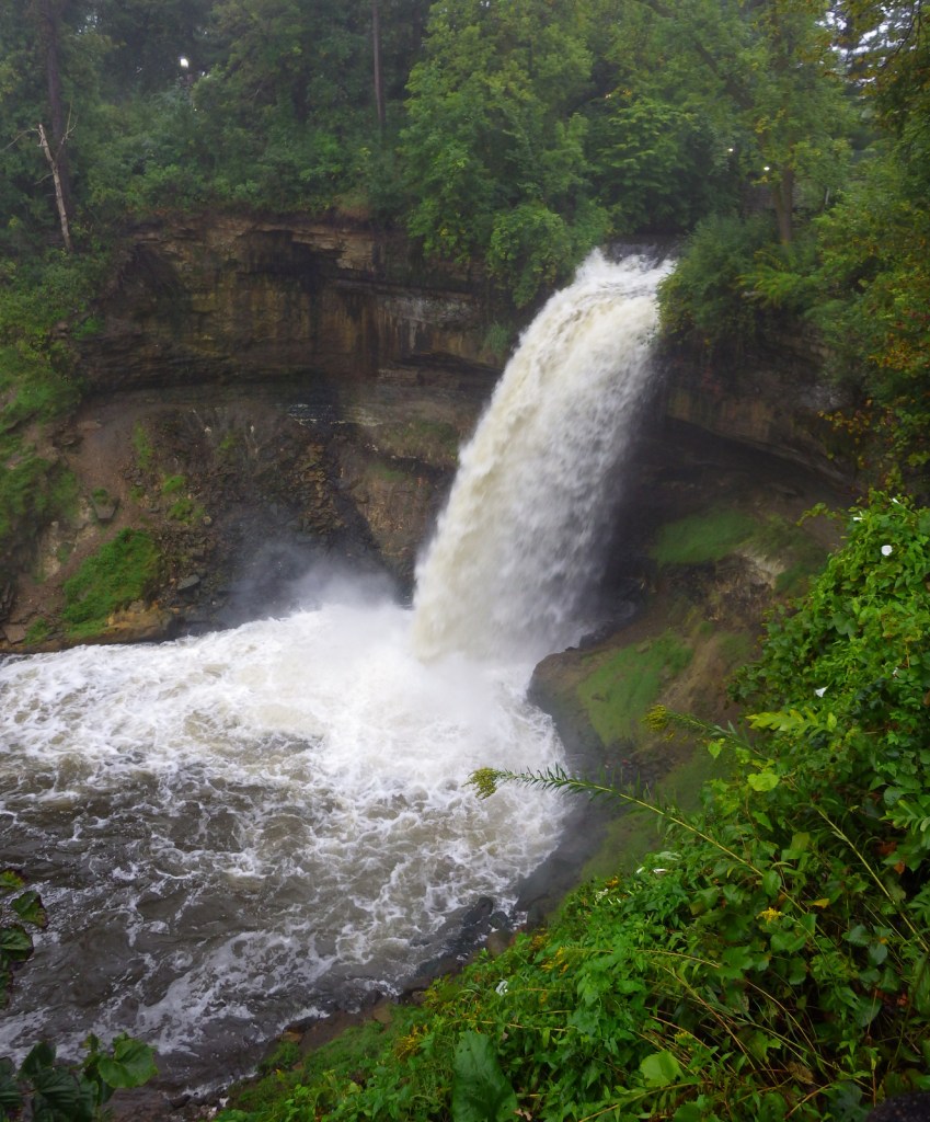
St. Anthony Falls is the only true waterfall on the entire river, plus check out the falls in Minnehaha Regional Park.
6. Delaware Water Gap (Pennsylvania-New Jersey)
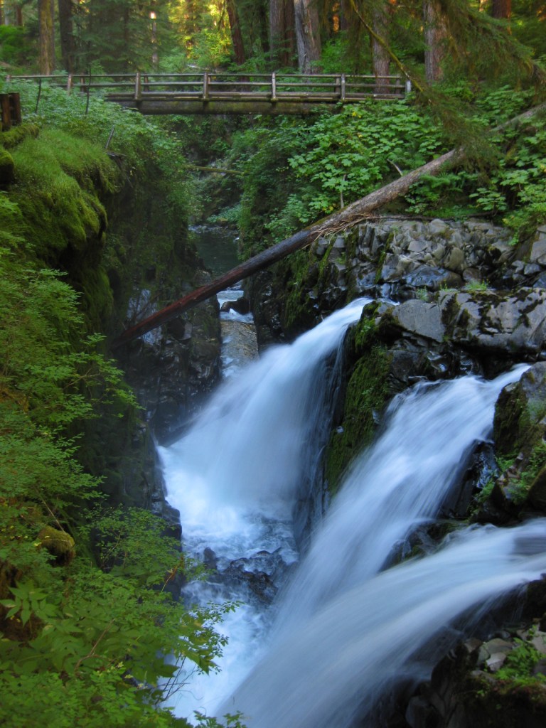
Raymondskill Falls and Dingmans Falls are located at the end of short hikes in the Poconos.
5. Pictured Rocks National Lakeshore (Michigan)
Short hikes lead to Munising Falls and Sable Falls, or boat to falls along the cliffs of Lake Superior.
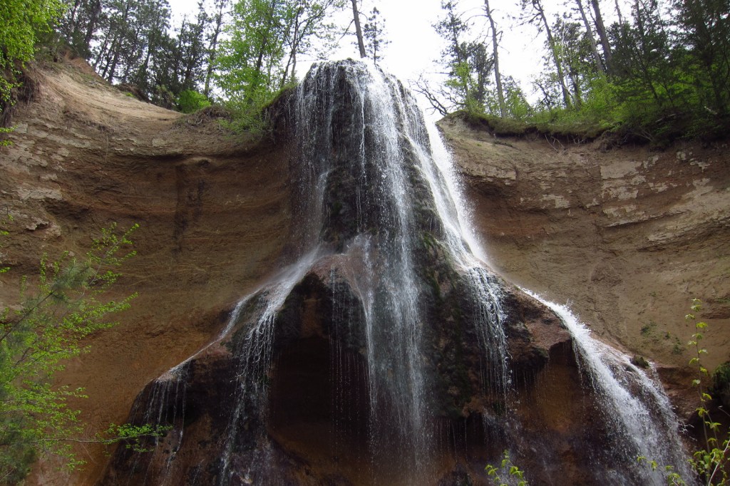
4. Niobrara National Scenic River (Nebraska)
Pull ashore on your float down the river to visit waterfalls in Fort Niobrara National Wildlife Refuge and Smith Falls State Park.
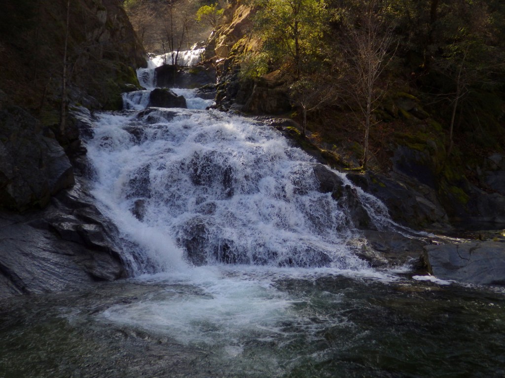
3. Whiskeytown-Shasta-Trinity National Recreation Area (California)
Four scenic waterfalls (Whiskeytown, Boulder Creek, Brandy Creek, and Crystal Creek) are accessible by hiking a total of 11 miles.
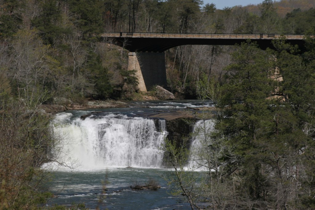
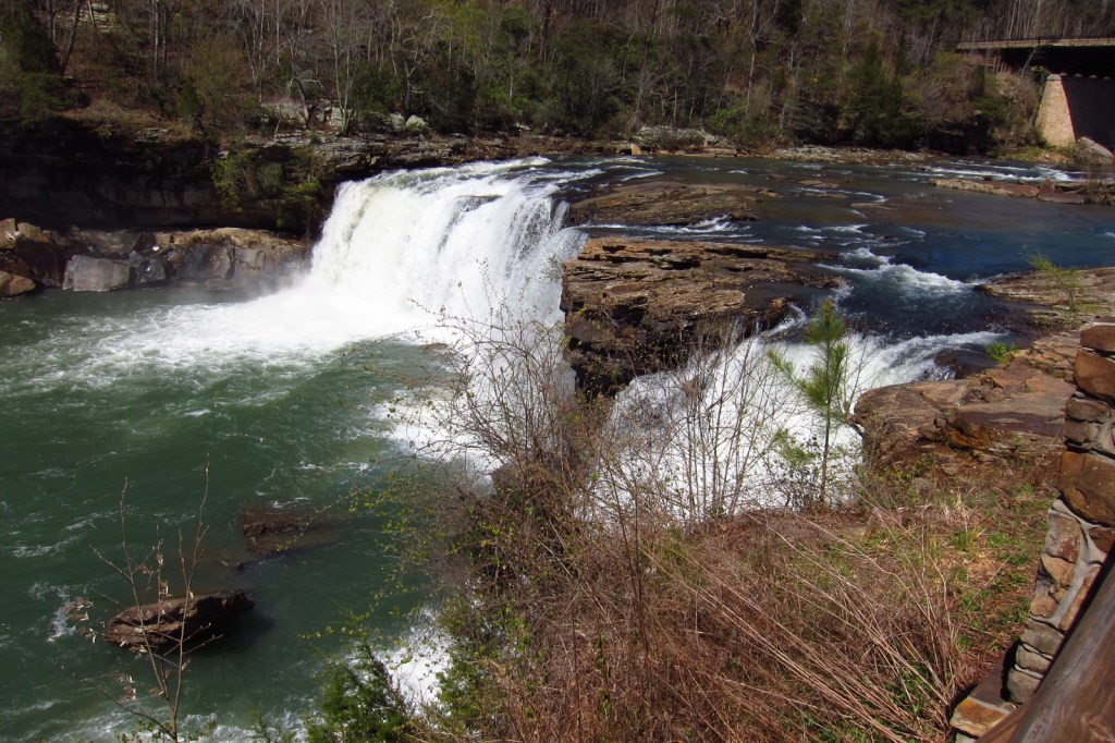
2. Little River Canyon National Preserve (Alabama)
The wide Little River Falls plunges 45 feet, but Graces High Falls drops 133 feet.
…and finally our #1 waterfall in a National Park Service unit:
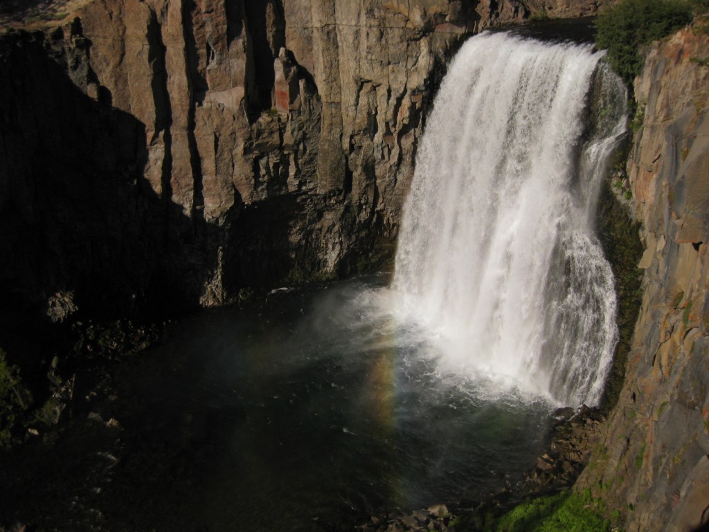
1. Devils Postpile National Monument (California)
Rainbow Falls is one of the most picturesque waterfalls in the world, plus check out Minaret Falls.
Honorable Mentions
George Washington Memorial Parkway (Maryland-Virginia)
Great Falls Park on the Potomac River also contains ruins of George Washington’s Patowmack Canal.

Big South Fork National River and Recreation Area (Tennessee-Kentucky)
Yahoo Falls is one of several waterfalls visible within this diverse park.
Lowell National Historical Park (Massachusetts)
It is manmade, but the waterfall created by the Lower Locks in downtown Lowell is still beautiful.