Tag Archives: Washington

Gifford Pinchot National Forest

Gifford Pinchot National Forest

Washington

Managed by U.S. Forest Service, Pacific Northwest Region

1,409,966 acres (1,321,506 federal/ 88,460 other)

Website: https://www.fs.usda.gov/giffordpinchot/

Overview

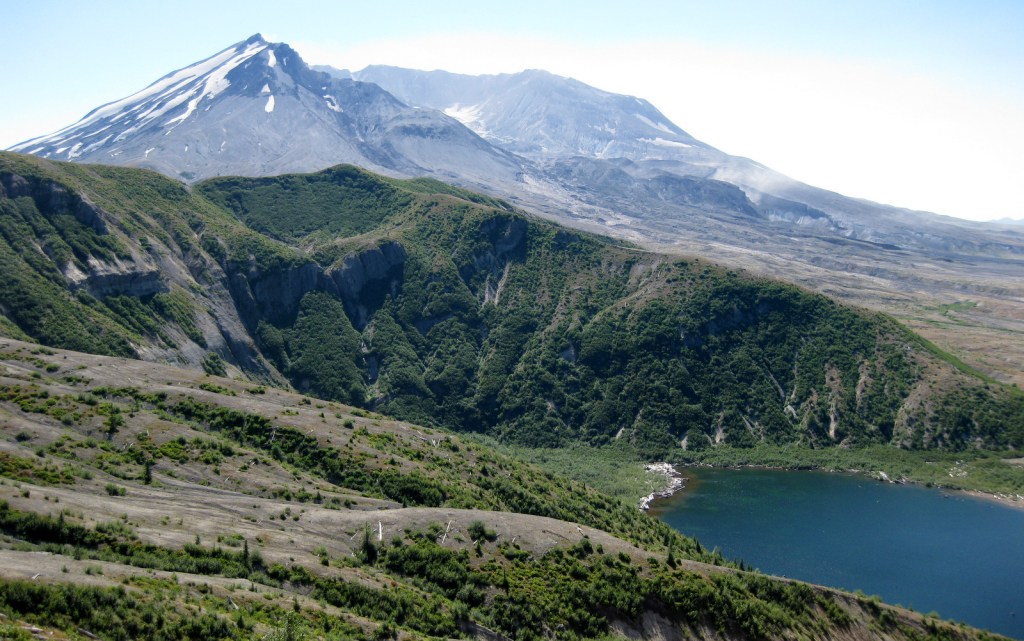
First set aside as Mt. Rainier Forest Reserve in 1897, nearly one-million acres were renamed Columbia National Forest in 1908.  It became Gifford Pinchot National Forest in 1949 to honor the chief of the U.S. Division of Forestry (1898-1905) and first chief of the U.S. Forest Service (1905-1910).  The Yale graduate studied forestry in Europe and his family founded the Yale Forest School (see Grey Towers National Historic Site).  Gifford Pinchot National Forest borders the Columbia River to the south, across from Oregon’s Mt. Hood National Forest.  It stretches north to Mt. Rainier National Park and contains 12,276-foot Mt. Adams (the state’s second tallest volcano) and Mt. St. Helens, which was designated a National Monument after its eruption on Sunday, May 18, 1980.  There are 1,475 miles of trails and more than 4,000 miles of roads in the National Forest, so there is plenty to explore outside the volcanoes. 

Know someone who loves the National Forests? Gift them our travel guidebook Out in the Woods so they can learn more about all 155 National Forests.

Highlights

Mt. St. Helens National Volcanic Monument, Columbia River Gorge National Scenic Area, Silver Star Scenic Area, Lower Falls of the Lewis River, Tatoosh Range, Packwood Lake, Quartz Creek, Ape Cave, Langfield Falls, Horseshoe Lake, Panther Creek Falls, Ice Cave, Mt. Adams, Midway High Lakes Area, Takhlakh Lake, Lava Canyon Trail, Pacific Crest National Scenic Trail

Must-Do Activity

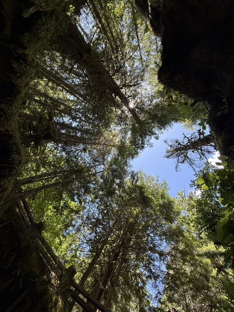
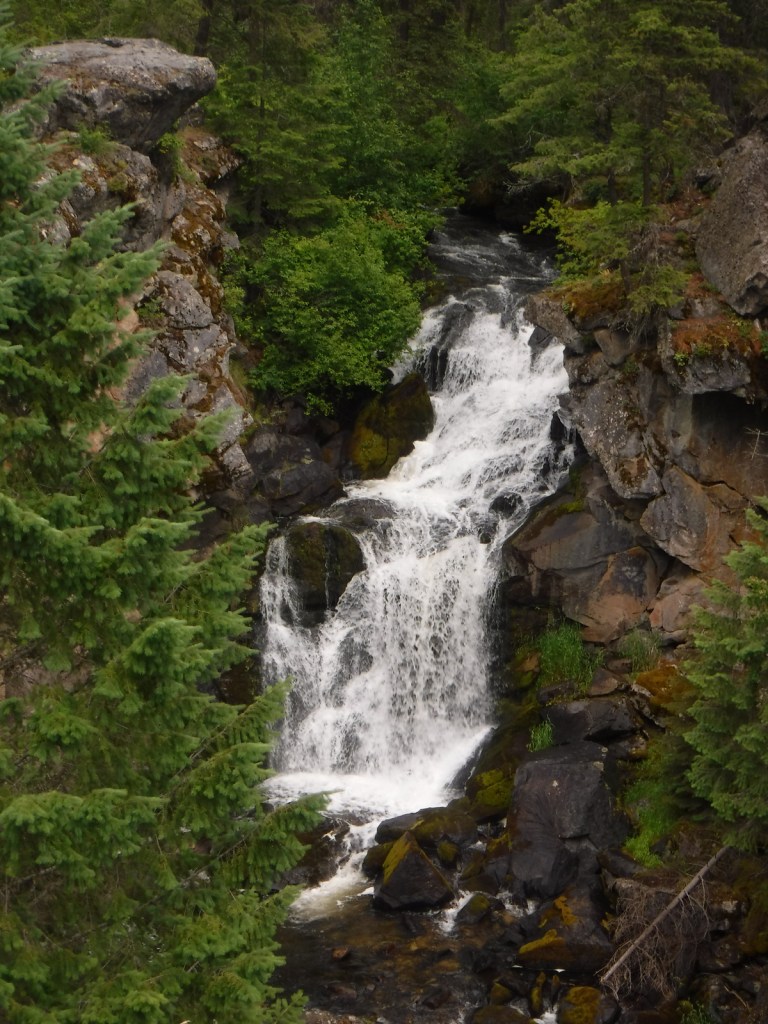
We will cover Mt. St. Helens National Volcanic Monument in a separate post, so here we will focus on the National Forest’s other attractions.  North of Mt. St. Helens, a half-mile trail follows Quartz Creek through an old-growth forest of huge Douglas-firs.  To the south, check out Lava Canyon Trail and Cedar Flats Research Natural Area where old-growth western redcedar trees are draped in lichen.  There are numerous waterfalls in the National Forest, including dual Panther Creek Falls that drops 175 feet side by side and the triple Falls Creek Falls that cascades 150 feet.  This lush region is also known for its berry picking, especially the renowned Sawtooth Berry Fields. 

Best Trail

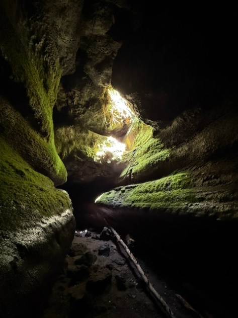
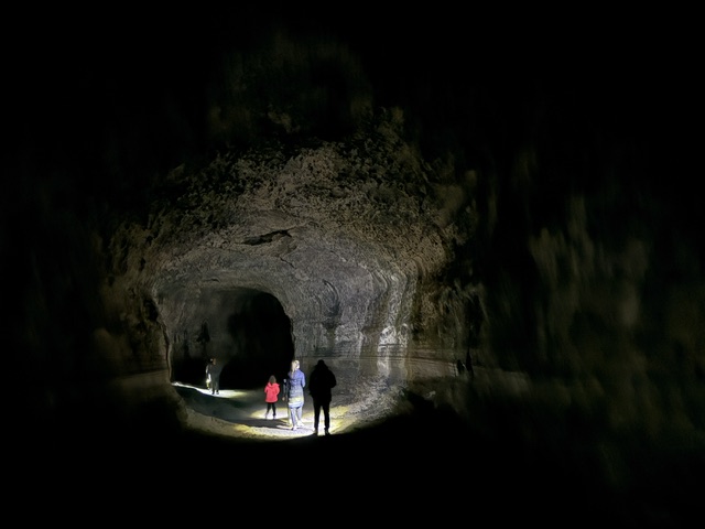
Ape Cave is a lava tube located south of Mt. St. Helens, which at 2.5 miles is the third longest in North America.  The cave is not named for a fossil discovery, but rather the local outdoors club that explored its interior in the 1950s after its discovery.  It is believed that the lava tube formed during a basaltic flow 1,900 years ago.  Ape Cave Trail is a National Recreation Trail receiving approximately 170,000 visitors annually (a timed reservation is required).  There are two layers to the cave, a smoother 0.8-mile upper level and a rougher 1.5-mile lower level that requires scaling an eight-foot lava wall.  Bundle up if you visit, as the underground temperature is 42°F year round.  The 650-foot-long Ice Cave is another lava tube known for its ice stalactites in spring (reservation required).

Watchable Wildlife

Located on the rainy side of the Cascades, Gifford Pinchot National Forest receives plenty of precipitation to feed its many rivers, including the glacier-fed White Salmon National Wild and Scenic River.  Four species of fish identified as threatened inhabit this region’s waters: bull trout, steelhead, chinook salmon, and coho salmon.  Another threatened species, the northern spotted owl requires buffer zones around its nests.  Mammals of Gifford Pinchot National Forest include elk, black-tailed deer, black bears, bobcats, and several species of marmots.  The wettest parts of the forest, especially in riparian corridors, have a variety of frogs, salamanders, and newts.

Instagram-worthy Photo

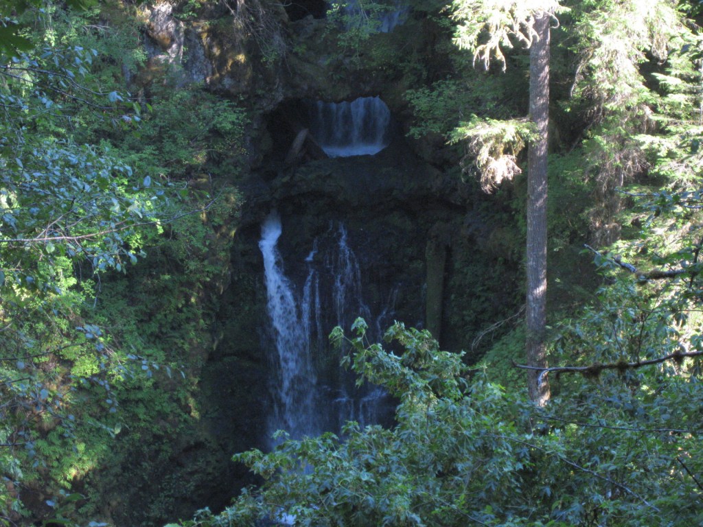
There are numerous waterfalls in this forest due to its high annual rainfall and steep elevation gradients.
Peak Season

Summer

Fees

An America the Beautiful Pass or Northwest Forest Pass ($5 day use) is required at many parking areas in the National Forest, including Ice Cave and Ape Cave (where a timed reservation is required from recreation.gov). 

Road Conditions

The major roads are paved to viewpoints in Mt. St. Helens National Volcanic Monument, but there are plenty of unpaved roads throughout the National Forest, some requiring high-clearance vehicles. 

Camping

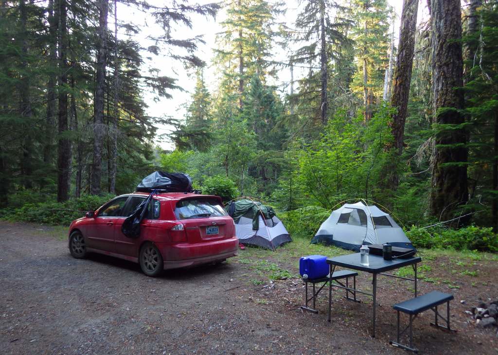
Iron Creek Campground north of Mt. St. Helens has two short trails, a quarter-mile trail through old-growth forest and one that follows a river 1.5 miles under a canopy of Douglas-fir and western redcedar.  Dispersed camping is allowed throughout the National Forest, and we have camped here to avoid the crowds while visiting the beautiful waterfalls of Columbia River Gorge National Scenic Area, part of Gifford Pinchot National Forest and Oregon’s Mt. Hood National Forest.

Wilderness Areas

Dark Divide Roadless Area

Glacier View Wilderness

Goat Rocks Wilderness (also in Wenatchee National Forest)

Indian Heaven Wilderness

Mount Adams Wilderness

Tatoosh Wilderness

Trapper Creek Wilderness

William O. Douglas Wilderness (also in Wenatchee National Forest)

Related Sites

Mt. St. Helens National Volcanic Monument (Washington)

Ross Lake National Recreation Area (Washington)

Fort Vancouver National Historic Site (Washington)

Nearest National Park
Mount Rainier

Conifer Tree Species

Douglas-fir, western redcedar, Pacific silver fir, noble fir, subalpine fir, mountain hemlock, western hemlock, whitebark pine, lodgepole pine, Alaska yellow-cedar

Flowering Tree Species

balsam poplar, paper birch, willow, red alder, bigleaf maple, Pacific rhododendron

Explore More – In addition to the White Salmon River, which four other waterways in the National Forest have been recommended to be added to the Wild and Scenic River System?

Learn more about this and the 154 other National Forests in our guidebook Out in the Woods

Colville National Forest

Colville National Forest

Washington

Managed by U.S. Forest Service, Pacific Northwest Region

1,029,617 acres (954,409 federal/ 75,208 other)

Website: https://www.fs.usda.gov/colville

Overview

In northeast Washington, Colville National Forest is divided into two sections on either side of the Columbia River.  In the west are the Kettle River Mountains, which are crossed by Sherman Pass Scenic Byway (Highway 20).  To the east, the remote Selkirk Mountains contain the Salmo-Priest Wilderness that spills over into Kaniksu National Forest.  Colville National Forest also borders Little Pend Oreille National Wildlife Refuge and Lake Roosevelt National Recreation Area.

Highlights

Sherman Pass Scenic Byway, Pewee Falls, Sullivan Lake, Marble Creek Falls, Trout Lake, Kettle Creek National Recreation Trail, Crowell Ridge Trail, Sherman Creek Trail, Grassy Top National Recreation Trail, Brown’s Lake Interpretive Trail, Pacific Northwest National Scenic Trail

Must-Do Activity

In the Selkirk Mountains east of the Pend Oreille River, the large Sullivan Lake is a scenic spot for boating and camping.  Designated in 1978, the Sullivan Lake National Recreation Trail runs 4.3 miles between the two campgrounds located at either end of the lake.  Colville National Forest is also known for 200-foot-tall Pewee Falls that cascades into the Boundary Dam Reservoir near the Canadian border, but we did not make it up there.

Best Trail

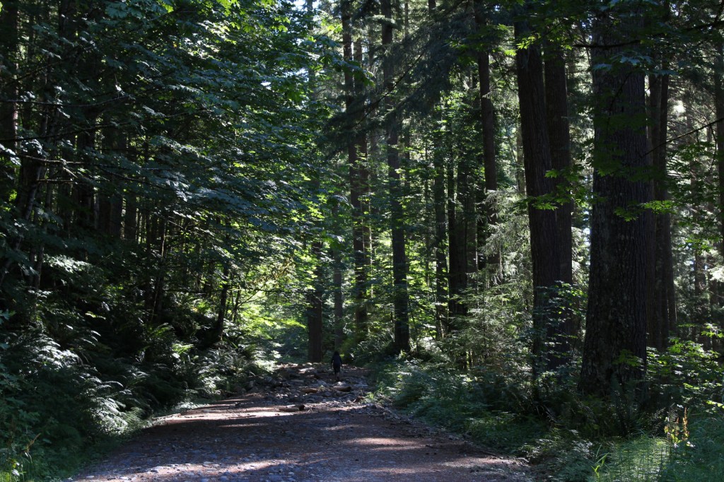
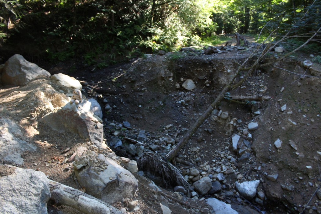
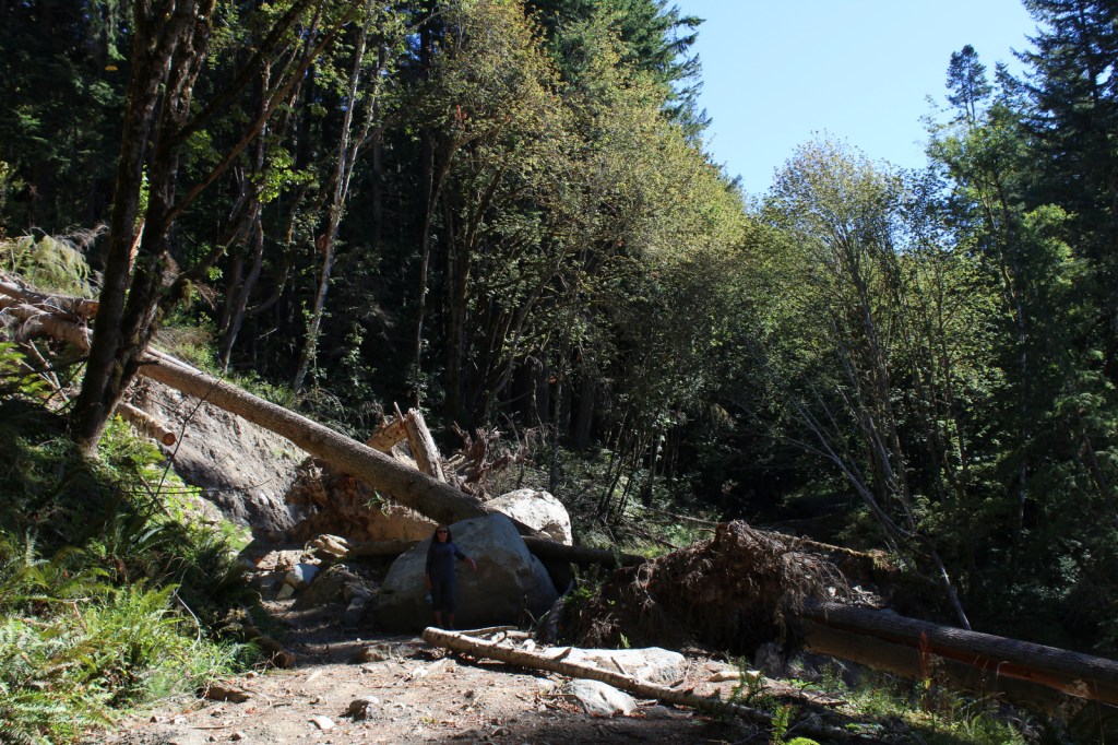
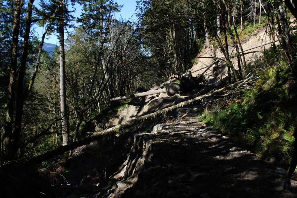
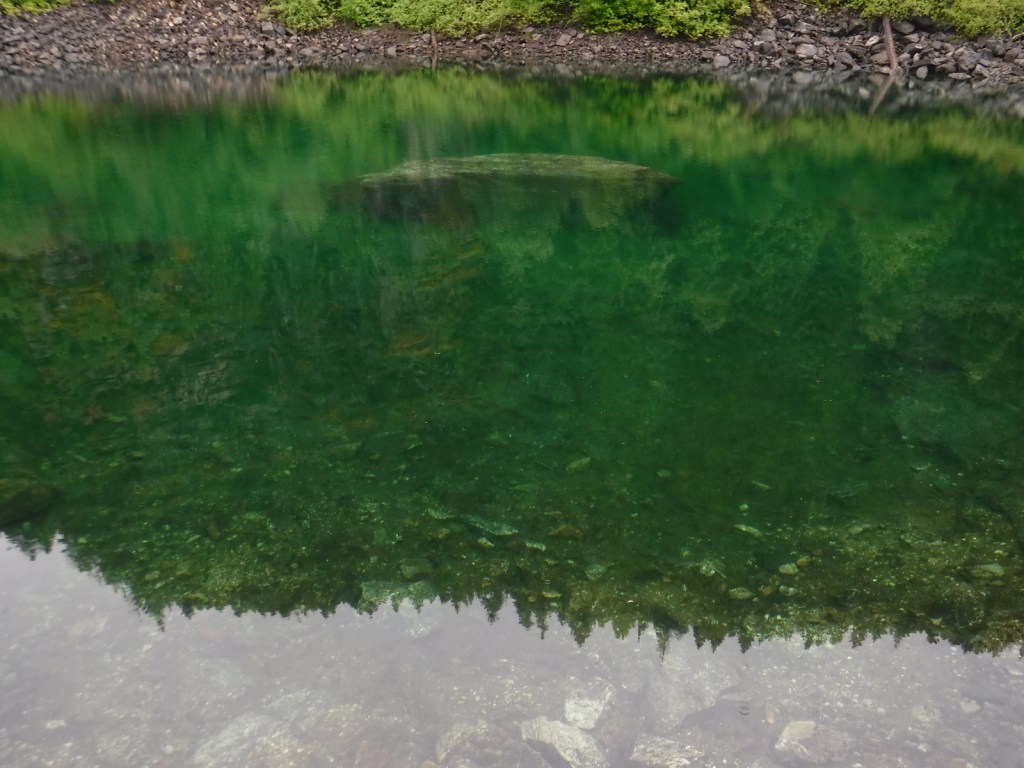
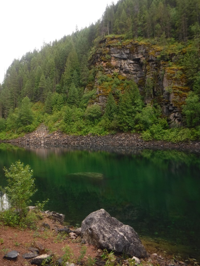
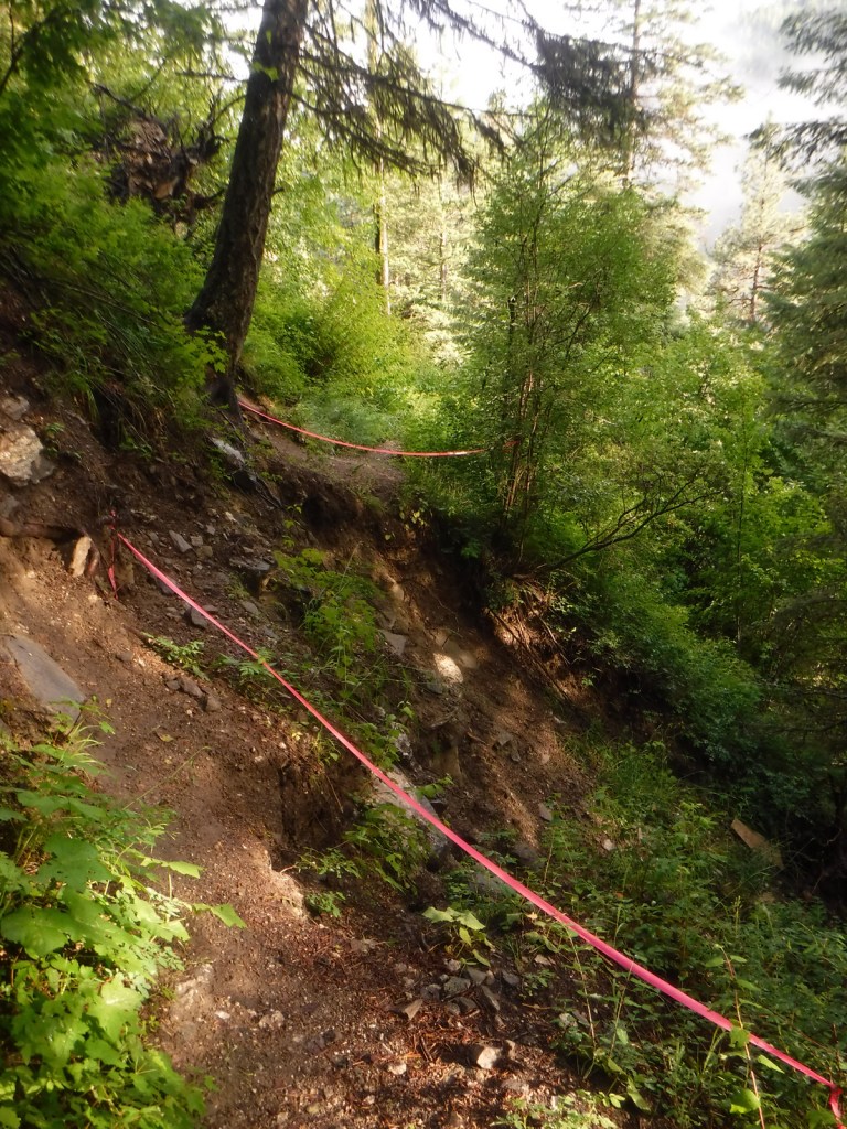
Hoodoo Canyon Trail is 4.8 miles one-way and accessible from two trailheads, one on unpaved Deadman Creek Road and the other at Trout Lake Campground, which is five miles from the Sherman Pass Scenic Byway.  We started out in the rain from our dispersed campsite along Deadman Creek Road and the trail soon made a steep climb through a dense conifer forest.  Eventually the route leveled out and we got our first view of shamrock green Emerald Lake, so we took a well-worn path down to its shoreline.  The trail was officially closed at the 3.2-mile point due to a small landslide (see photo), but it was not hard to navigate past that spot to gain a view of Trout Lake, at which point we turned around.

Watchable Wildlife

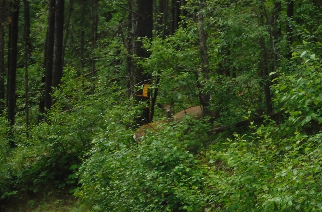
The remote Selkirk Mountains represent the sole place south of Canada where there is a herd of mountain caribou.  Grizzly bears, Canadian lynx, mountain lions, and gray wolves also inhabit this wild borderland region.  More common species include mule deer, bighorn sheep, moose, beavers, bald eagles, and loons.

Instagram-worthy Photo

The water of Emerald Lake truly lives up to its gem of a name, even on a cloudy day.

Peak Season

Summer

Fees

None

Road Conditions

Sherman Pass Scenic Byway (Highway 20) is paved, but most the roads we drove through Colville National Forest were unpaved but in very good condition.

Camping

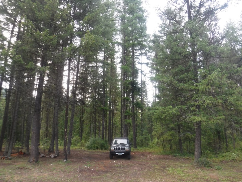
Trout Lake Campground seemed like a nice spot, secluded but only five miles off the Sherman Pass Scenic Byway.  We found many excellent dispersed campsites along the unpaved portions of Deadman Creek Road.

Wilderness Areas

Salmo-Priest Wilderness (also in Kaniksu National Forest)

Related Sites

Lake Roosevelt National Recreation Area (Washington)

Ross Lake National Recreation Area (Washington)

Lake Chelan National Recreation Area (Washington)

Nearest National Park

North Cascades

Conifer Tree Species

Douglas-fir, grand fir, subalpine fir, lodgepole pine, western larch, western redcedar

Flowering Tree Species

syringa, quaking aspen, Pacific dogwood, red alder, balsam poplar, dwarf birch, paper birch, Piper’s hawthorn, boxelder, Bebb willow, western mountain-ash, choke cherry, western serviceberry, red alder, mountain alder

Explore More – Who was Andrew Colvile, other than the man that Fort Colville [sic] was misnamed for in 1825?

Learn more about this and the 154 other National Forests in our new guidebook Out in the Woods

We are a participant in the Amazon Services LLC Associates Program, an affiliate advertising program designed to provide a means for us to earn fees by linking to Amazon.com and affiliated sites.

Ross Lake National Recreation Area

Overview

Bisecting the two sections of North Cascades National Park in northern Washington is Ross Lake National Recreation Area.  The incredibly scenic Highway 20 (closed seasonally) cuts through the mountains here, less than two hours from Seattle.  The rainshadow effect is readily apparent to anyone who crosses these mountains from the lush west to the arid eastern portion of the state.  Access to the only boat ramp on Ross Lake actually requires a drive through Canada, but you can also pick up a water taxi near Diablo Dam.

Highlights

Diablo Lake Overlook, Gorge Creek Falls, Ross Lake Resort, Sourdough Mountain Trail

Must-Do Activity

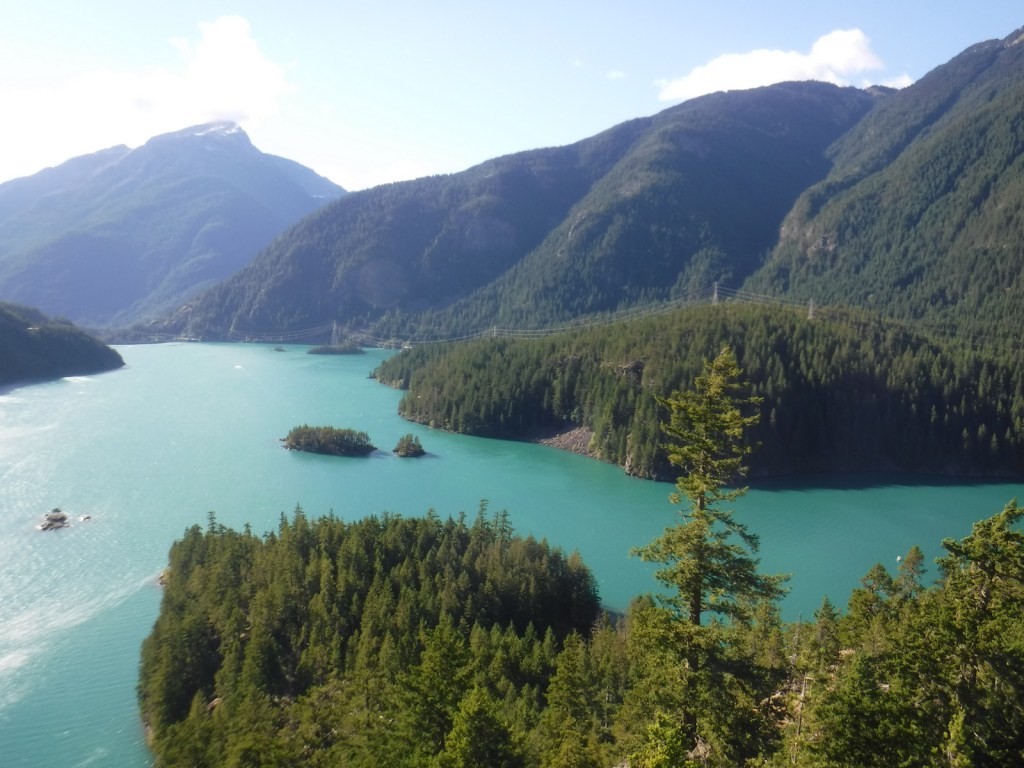
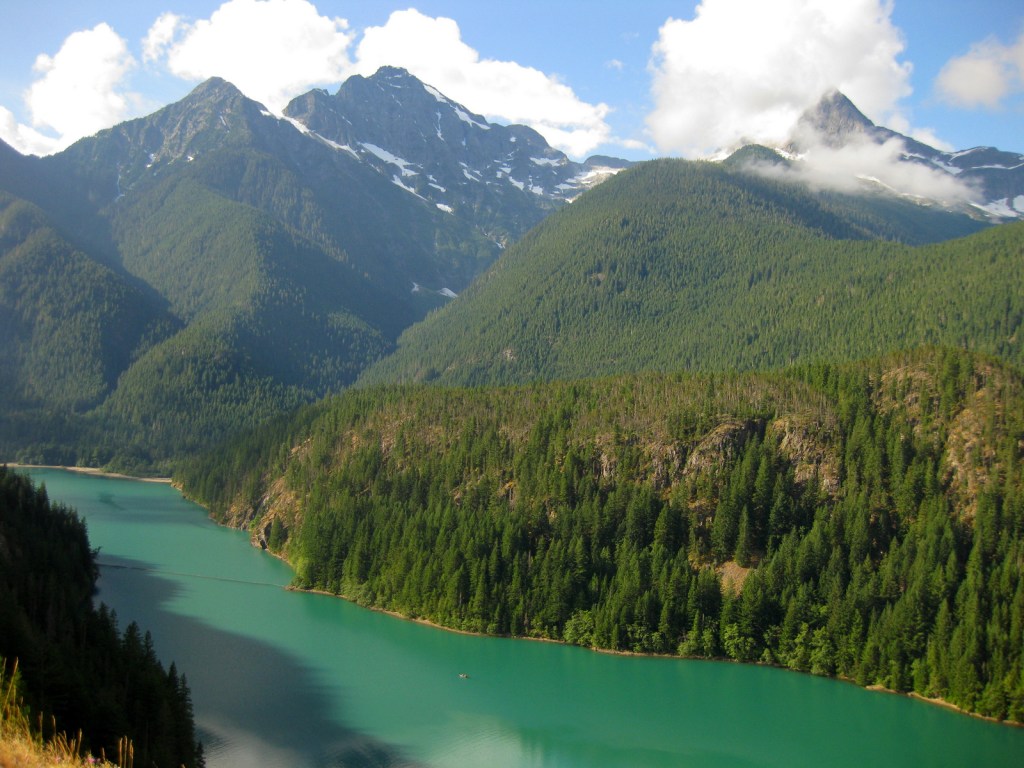
If coming from Seattle, start your visit at the North Cascades National Park Visitor Center on the scenic North Cascades Highway (20).  Ross Lake National Recreation Area contains three hydroelectric reservoirs, which have an interesting turquoise color due to glacial silt, especially evident at Diablo Lake Overlook.  Nearby, Colonial Creek Campground offers a peaceful forest in which to spend the night and a good jumping off place for a day hike on Thunder Creek or Fourth of July Trails through old-growth forests with colossal mushroom conchs and giant banana slugs.

Best Trail

Summiting Desolation Peak is often found on the bucket lists of the writer Jack Kerouac’s biggest fans, as he did some of his best writing while stationed as a fire lookout here in 1956.  The observation tower is not far from the Canadian border and the trek is a daunting task, typically utilizing a water taxi to cross Ross Lake.

Instagram-worthy Photo

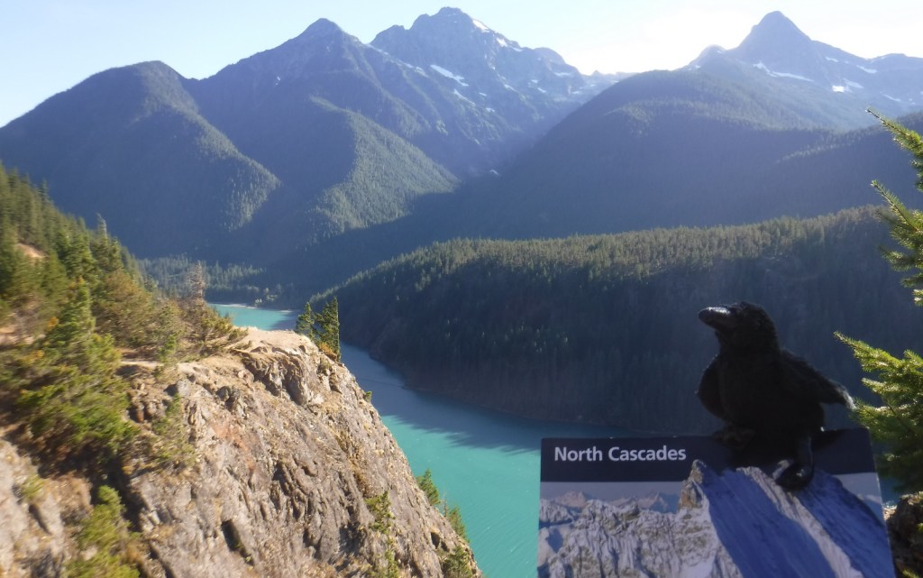
Do not drive past Diablo Lake Overlook, an awe inspiring and usually gusty stop along Highway 20.  The craggy heights of the geologically young mountains surrounding this spectacular reservoir are magnificent to behold, yet forbidding to enter.

Peak Season

Late summer

Hours

https://www.nps.gov/noca/planyourvisit/hours.htm

Fees

None

Road Conditions

The North Cascades Highway (20) is typically closed east of Ross Dam from mid-November through mid-April (or later).  The unpaved road to Thornton Lakes Trailhead is not suitable for trailers.

Camping

Colonial Creek Campground (164 sites) is only one option, additionally there are Newhalem Creek (119 sites), Goodell Creek (22 sites), and Hozomeen (122 sites accessed via a 40-mile gravel road from Hope, British Columbia).  For the full backcountry experience, pick up a free backpacking permit at the Wilderness Information Center in Marblemount, Washington.

Related Sites

Lake Chelan National Recreation Area (Washington)

Lake Roosevelt National Recreation Area (Washington)

Klondike Gold Rush National Historical Park (Alaska-Washington)

Explore More – Only two miles across at its widest point, how long is Ross Lake?

Lake Roosevelt National Recreation Area

Overview

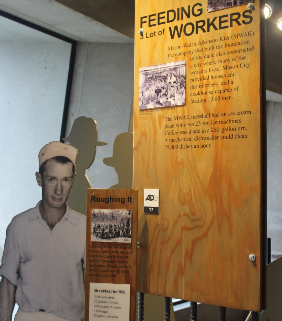
Stretching nearly one mile (5,223 feet) in length, the Grand Coulee Dam was the first constructed across the mighty Columbia River between 1933 and 1942.  In case you are wondering what a “coulee” is, that is a regional name for a canyon, many of which were carved by the walls of water that scoured this region after Lake Missoula burst through its ice dams periodically 15,000 to 13,000 years ago.  The reservoir created by the dam was named for President Franklin D. Roosevelt, which is why the National Park Service (NPS) manages it as Lake Roosevelt National Recreation Area.

Highlights

Grand Coulee Dam Visitor Center, Fort Spokane, St. Paul’s Mission, watersports

Must-Do Activity

The Bureau of Reclamation manages the museum at Grand Coulee Dam Visitor Center and a free laser light show is projected on the mile-long dam during the summer months.  Near a major river confluence, Fort Spokane was established in 1880 and now has a one-mile trail explaining its diverse history.  The reservoir submerged the salmon fishing grounds at Kettle Falls that had been used for millennia.  Native Americans still inhabit this region today, as the lake creates a border between the Colville and Spokane Indian Reservations.  Campgrounds and boat launch sites are located all along the narrow lake’s 129-mile length, although some may close due to changing reservoir levels.

Best Trail

A quarter-mile trail with interpretive signs is located at St. Paul’s Mission, one of the oldest churches in Washington state.  Here you will learn about (now submerged) Kettle Falls and the Hudson’s Bay Company’s historic impact on the region.

Instagram-worthy Photo

At the time, the Grand Coulee Dam became the largest masonry structure ever built, breaking a record held for 4,700 years by the Great Pyramid in Egypt.

Peak Season

Summer

Hours

https://www.nps.gov/laro/planyourvisit/hours.htm

Fees

The NPS charges a fee at boat launches and you cannot use the America the Beautiful pass.  Grand Coulee Dam Visitor Center is free, as are the Keller Ferry and Gifford–Inchelium Ferry that cross the lake.

Road Conditions

There are some unpaved roads, but the designated Scenic Drive follows only paved roads and utilizes two free ferries.

Camping

There are 26 campgrounds available on a first-come, first-served basis, while sites at a few take reservations.  Boat-in campgrounds and shoreline camping are both free.

Related Sites

Whitman Mission National Historic Site (Washington)

Glen Canyon National Recreation Area (Arizona-Utah)

Lake Mead National Recreation Area (Nevada-Arizona)

Explore More – During peak construction, how many people were employed at the Grand Coulee Dam?

Olympic National Park

Overview

Rising from the Pacific Ocean to 7,980-foot tall Mount Olympus, western Washington’s Olympic National Park is arguably the most diverse National Park in the entire country.  Originally named as a National Monument in 1909 by President Theodore Roosevelt to protect his namesake Roosevelt elk, the area was almost named Elk National Park when upgraded in 1938. 

Learn more in our guidebook to the National Parks, A Park to Yourself: Finding Adventure in America’s National Parks (available on Amazon).

Highlights

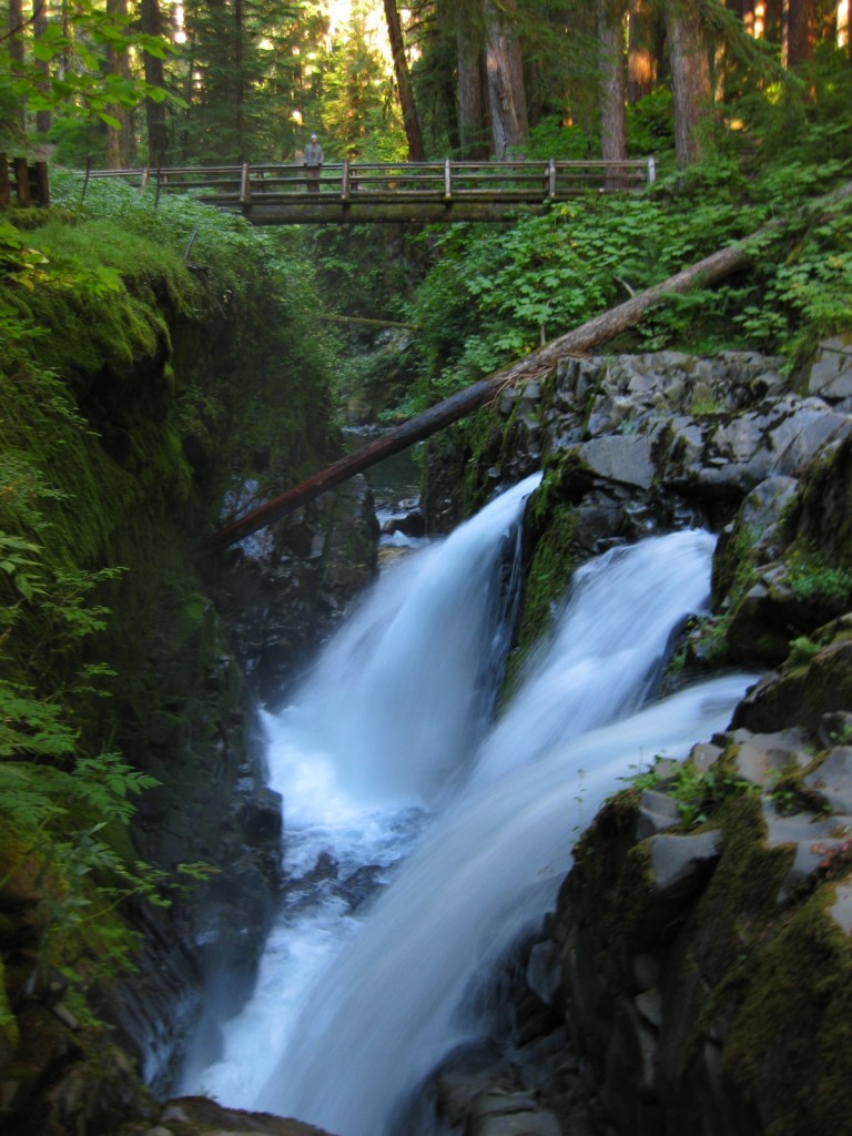
Ruby Beach, Lake Quinault, Hoh Rainforest, Sol Duc Falls, Hurricane Ridge

Must-Do Activity

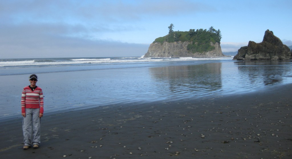
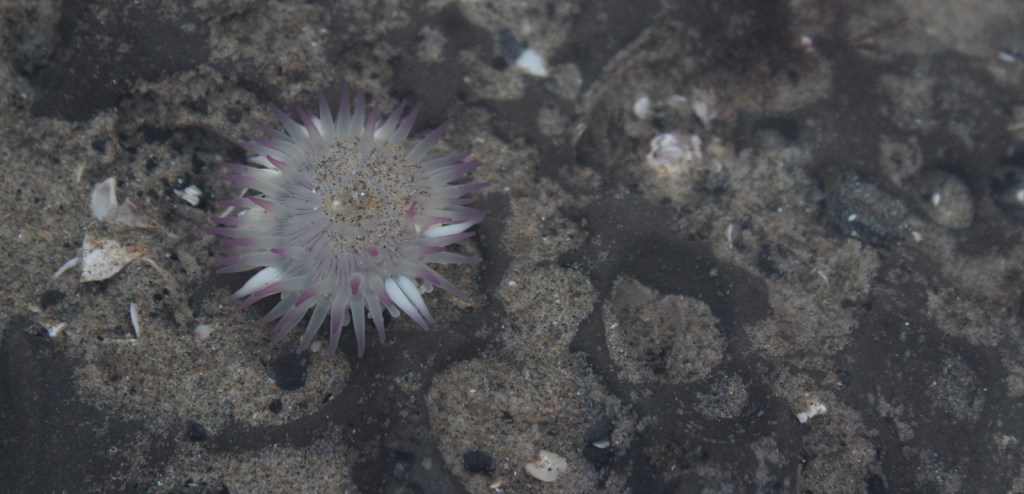
Visitors can explore tidepools at Ruby Beach (pictured in our logo below), soak at a hot springs resort after hiking around Sol Duc Falls, experience sweeping mountain vistas from Hurricane Ridge, and boat across picturesque Lake Crescent.

Best Trail

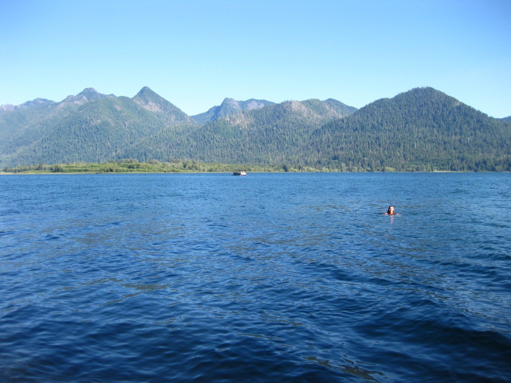
There are more than 600 miles of trails, but one of the quietest is on the north shore of Lake Quinault and leads to a huge, hollow western redcedar tree.

Instagram-worthy Photo

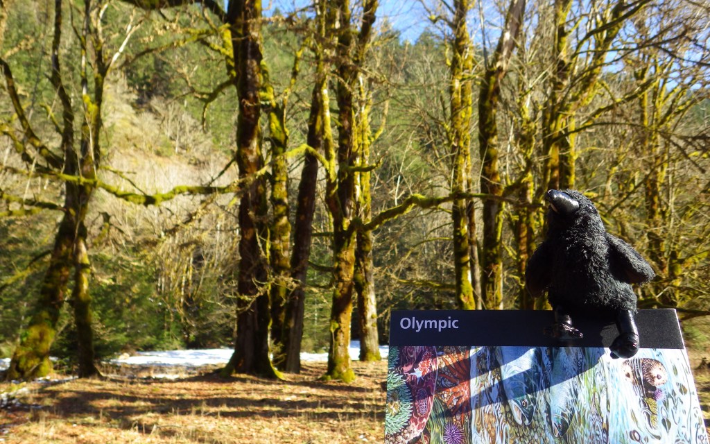
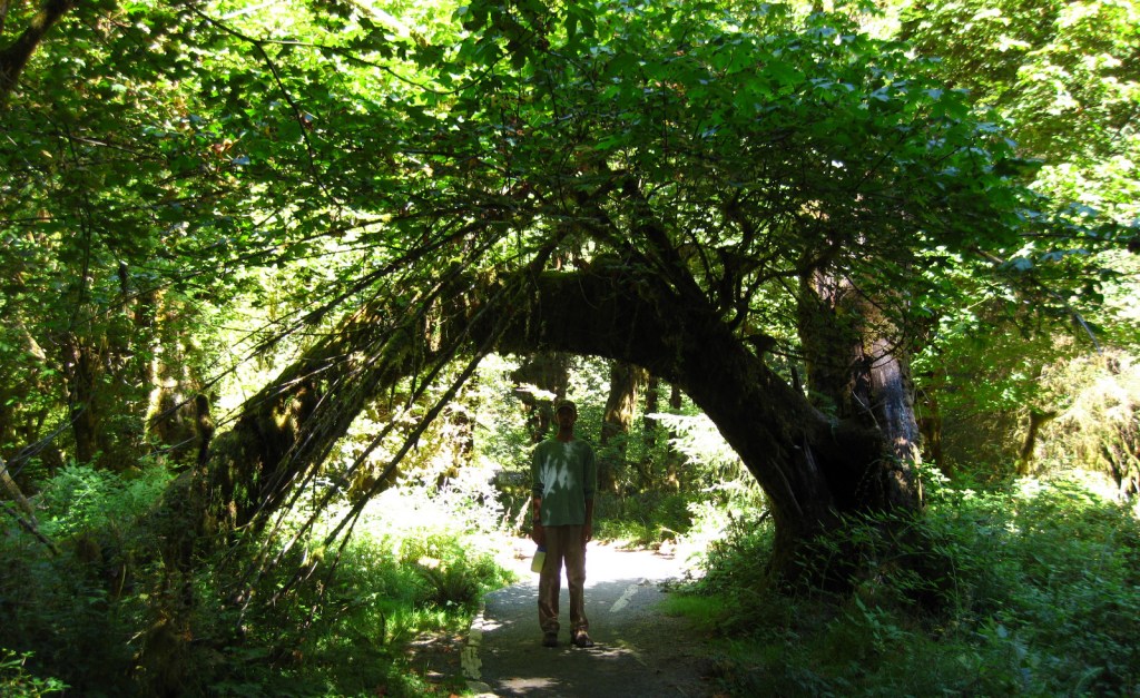
Discover the moss-draped Hoh Rainforest, which at 160 inches annually experiences the highest rainfall totals in the continental U.S.

Peak Season

Summer

Hours

https://www.nps.gov/olym/planyourvisit/hours.htm

Fees

$30 per vehicle or America the Beautiful pass

Road Conditions

All major roads are paved, but notably the road up to Hurricane Ridge is not open every day of the week in the offseason.

Camping

There are numerous campgrounds and four lodges, plus the historic Lake Quinault Lodge built in 1926 (and technically outside of the park).

Related Sites

Lewis and Clark National Historical Park (Oregon-Washington)

Ebey’s Landing National Historic Reserve (Washington)

Mount Rainier National Park (Washington)

This design we created to celebrate Olympic National Park is available on a variety of products at Cafe Press and Amazon.

Explore More – Although they are shrinking, how many glaciers are found in the Olympic Mountains?

We are a participant in the Amazon Services LLC Associates Program, an affiliate advertising program designed to provide a means for us to earn fees by linking to Amazon.com and affiliated sites.