Tag Archives: trees

Cane River Creole National Historical Park

Overview

In colonial Louisiana, the word “Creole” referred to any New World product, from architecture to livestock to human beings (and was not specific to any ethnicity).  South of Natchitoches, Louisiana the Cane River National Heritage Area follows an abandoned meander of the Red River, with two antebellum cotton plantations protected as Cane River Creole National Historical Park.  This National Park Service (NPS) site was authorized in 1994 and continues to be developed; meanwhile it provides an interesting perspective on a unique culture and excellent photographic opportunities.

Highlights

Oakland Plantation, Magnolia Plantation, historic buildings, pecan picking

Must-Do Activity

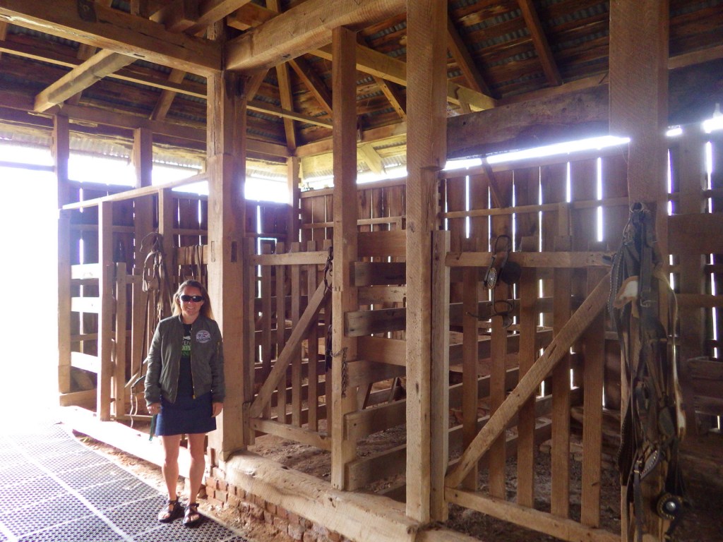
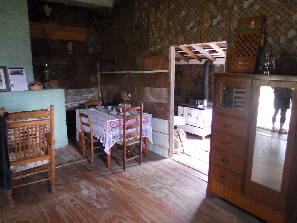
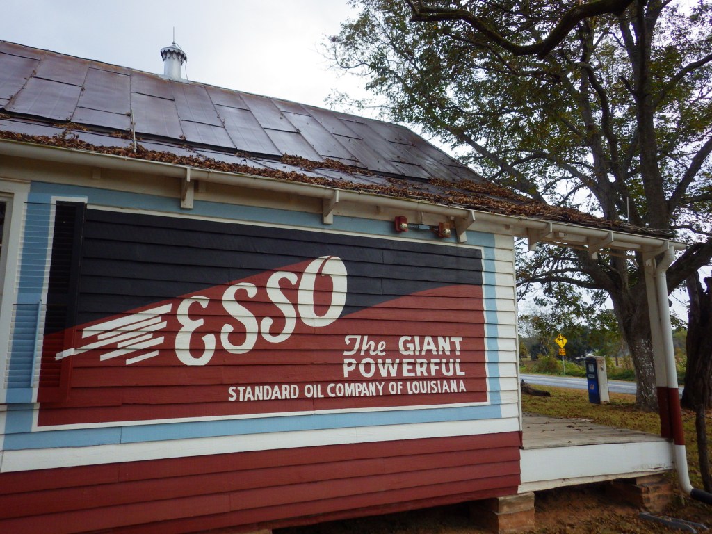
Oakland Plantation dates back to the late 1700s and survived the Civil War intact, but in the wake of Reconstruction tenant farming created a new form of indentured servitude.  Self-guided tours of the site take you through the mule barn, general store, and several cottages.  When we visited in November 2016, park volunteers were only offering one tour per day, but were happy to spend time talking with us inside the old general store.  Slave/tenant quarters are also preserved at Magnolia Plantation downstream, but the main house (which was burned during the Civil War and rebuilt) is privately owned and closed to the public. 

Best Trail

None

Instagram-worthy Photo

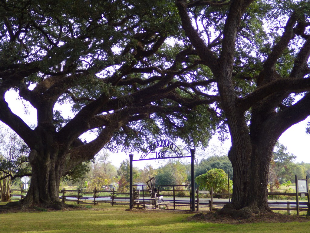
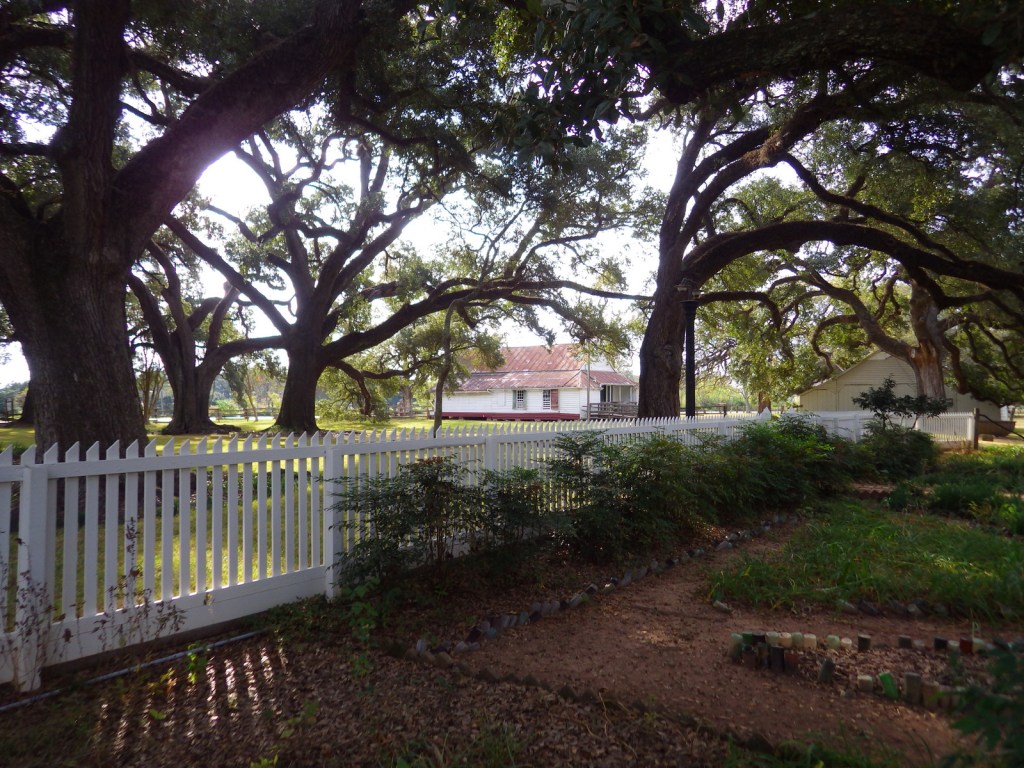
Nothing says you are in the South like the crooked branches of live oak trees.  Live oaks drape over the bottle-lined garden at the Oakland Plantation main house.
Peak Season

Fall

Hours

https://www.nps.gov/cari/planyourvisit/hours.htm

Fees

None

Road Conditions

All roads paved

Camping

Kisatchie National Forest has a small campground three miles north of Natchitoches off State Road 117.

Related Sites

Natchez National Historical Park (Mississippi)

Jean Lafitte National Historical Park and Preserve (Louisiana)

Poverty Point National Monument (Louisiana)

Explore More – Cane River National Heritage Area covers 40,000 acres, but how large is Cane River Creole National Historical Park?
Olympic National Park

Overview

Rising from the Pacific Ocean to 7,980-foot tall Mount Olympus, western Washington’s Olympic National Park is arguably the most diverse National Park in the entire country.  Originally named as a National Monument in 1909 by President Theodore Roosevelt to protect his namesake Roosevelt elk, the area was almost named Elk National Park when upgraded in 1938. 

Learn more in our guidebook to the National Parks, A Park to Yourself: Finding Adventure in America’s National Parks (available on Amazon).

Highlights

Ruby Beach, Lake Quinault, Hoh Rainforest, Sol Duc Falls, Hurricane Ridge

Must-Do Activity

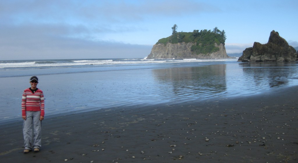
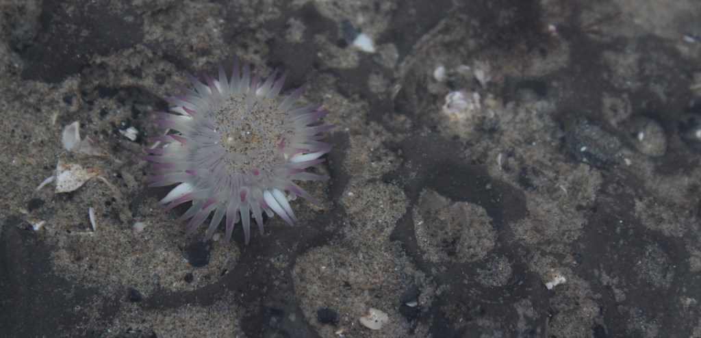
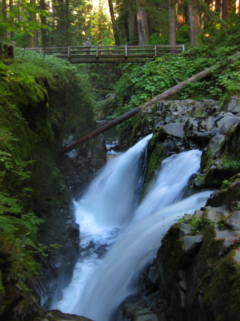
Visitors can explore tidepools at Ruby Beach (pictured in our logo below), soak at a hot springs resort after hiking around Sol Duc Falls, experience sweeping mountain vistas from Hurricane Ridge, and boat across picturesque Lake Crescent.

Best Trail

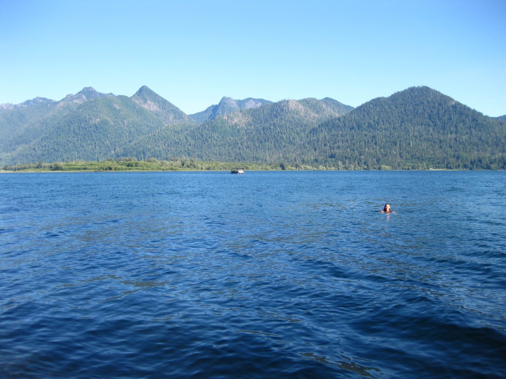
There are more than 600 miles of trails, but one of the quietest is on the north shore of Lake Quinault and leads to a huge, hollow western redcedar tree.

Instagram-worthy Photo

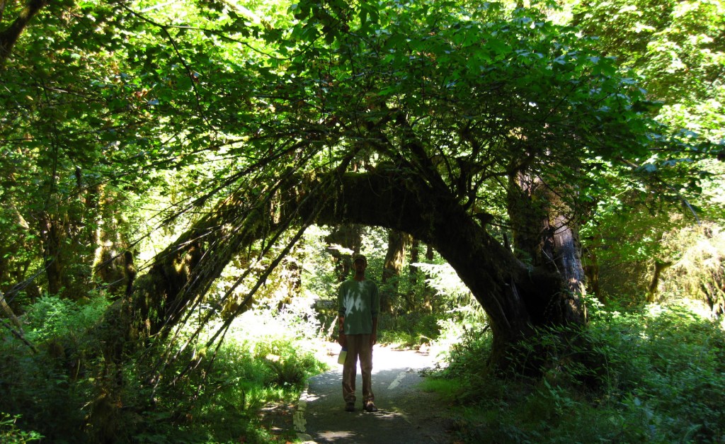
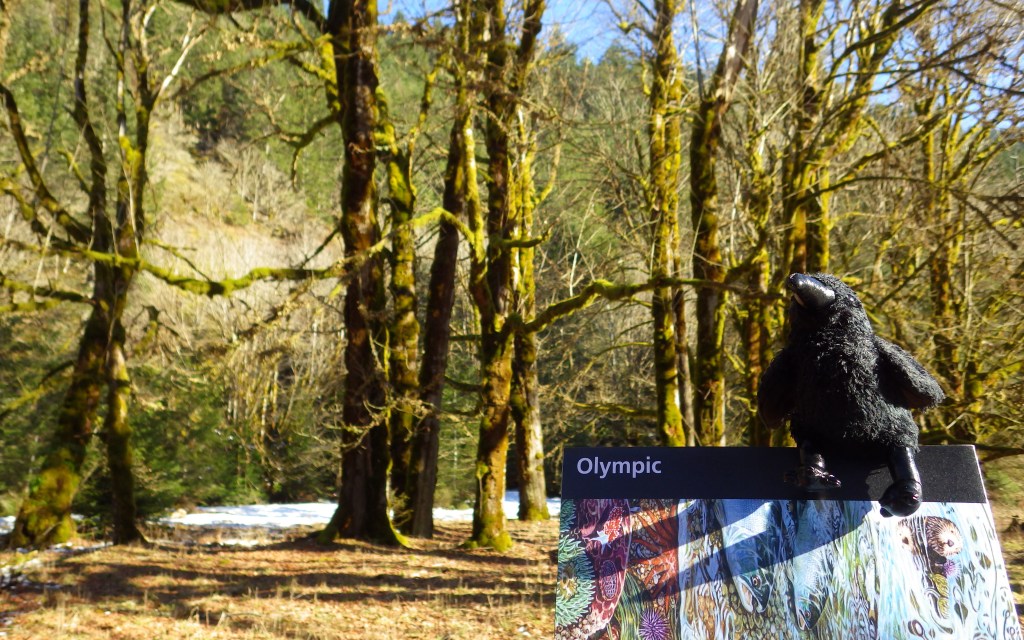
Discover the moss-draped Hoh Rainforest, which at 160 inches annually experiences the highest rainfall totals in the continental U.S.

Peak Season

Summer

Hours

https://www.nps.gov/olym/planyourvisit/hours.htm

Fees

$30 per vehicle or America the Beautiful pass

Road Conditions

All major roads are paved, but notably the road up to Hurricane Ridge is not open every day of the week in the offseason.

Camping

There are numerous campgrounds and four lodges, plus the historic Lake Quinault Lodge built in 1926 (and technically outside of the park).

Related Sites

Lewis and Clark National Historical Park (Oregon-Washington)

Ebey’s Landing National Historic Reserve (Washington)

Mount Rainier National Park (Washington)

This design we created to celebrate Olympic National Park is available on a variety of products at Cafe Press and Amazon.

Explore More – Although they are shrinking, how many glaciers are found in the Olympic Mountains?

We are a participant in the Amazon Services LLC Associates Program, an affiliate advertising program designed to provide a means for us to earn fees by linking to Amazon.com and affiliated sites.

Muir Woods National Monument

Overview

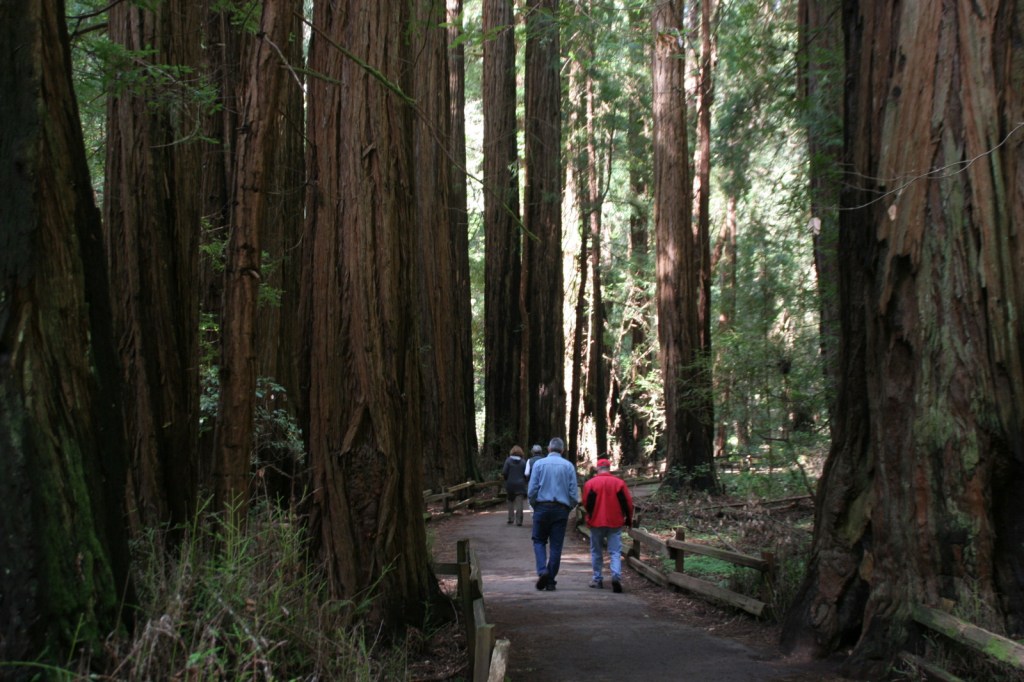
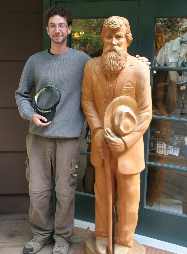
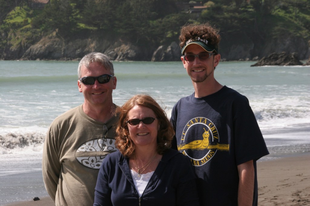
Named for passionate preservationist and Bay Area resident John Muir, this old-growth forest of coast redwood trees is a world away from the bustle of the city.  Originally established in 1908, the National Monument is administered by the National Park Service (NPS) as part of Golden Gate National Recreation Area.  It is located just south of Point Reyes National Seashore and here you can also access the coastline at nearby Muir Beach.

Highlights

Coast redwood trees, Redwood Creek Trail, Canopy View Trail, Muir Beach

Must-Do Activity

North of the Golden Gate Bridge, the San Francisco sprawl gives way to a rugged and idyllic landscape.  The twisty drive over the coastal mountains to 554-acre Muir Woods National Monument is part of the adventure.  There is a café and gift shop, plus the NPS operates a small bookstore, but not a museum at the site.  This small park receives an average of one-million visitors per year, so expect the trails to be crowded on weekends and sunny days.

Best Trail

There are only six miles of trails in the National Monument, but they connect with the extensive system in surrounding Mount Tamalpais State Park.  It is often foggy and always shady beneath these massive trees, so it is best to dress in layers.

Instagram-worthy Photo

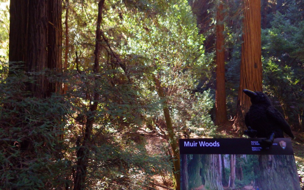
The coast redwoods growing here are more than 250 feet tall, so hike up the aptly named Canopy View Trail to get a birds-eye view.

Peak Season

Summer

Hours

https://www.nps.gov/muwo/planyourvisit/hours.htm

Fees

$15 per person or America the Beautiful pass

Road Conditions

The winding access road is steep and narrow, so RVs over 35 feet in length are prohibited.

Camping

There are walk-in tent campsites at Mount Tamalpais State Park and backcountry campsites (permit required) at Point Reyes National Seashore.

Related Sites

John Muir National Historic Site (California)

Redwood National and State Parks (California)

Golden Gate National Recreation Area (California)

Explore More – Coast redwood is the tallest species in the world, requiring coastal fog to stay hydrated; how far inland do the trees naturally occur?

Gulf Islands National Seashore

Overview

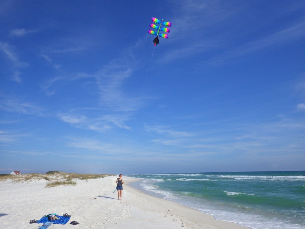
Gulf Islands National Seashore is renowned for white sand beaches on the barrier islands in the Gulf of Mexico, but there is more than beaches on the shores of Mississippi and the Florida panhandle (yes, Alabama is in the middle but is not part of this park).  The white sand that attracts beachgoers here originated as quartz in the Appalachian Mountains.  This coastal region was originally purchased by the U.S. from Spain in 1821 and 150 years later Gulf Islands National Seashore was created. 

Highlights

Fort Pickens, Naval Live Oaks Area, Fort Barrancas, West Ship Island ferry, white sand beaches, wildlife

Must-Do Activity

The National Park Service (NPS) has four visitor centers for Gulf Islands National Seashore, one on the mainland in Ocean Springs, Mississippi and the other three are south of Pensacola, Florida.  The most developed area is around Fort Pickens on Santa Rosa Island with its popular campground.  Nearby, Fort Barrancas sits next to the free National Museum of Naval Aviation on the military base.  The Naval Live Oaks Area protects the first federal tree farm started for shipbuilding purposes in 1828.  In Mississippi, only Davis Bayou can be reached by road, with (seasonal) ferry service limited to West Ship Island.  Otherwise, bring your own boat!

Best Trail

The 1,300-mile long Florida National Scenic Trail starts at Fort Pickens then runs east across Santa Rosa Island.

Instagram-worthy Photo

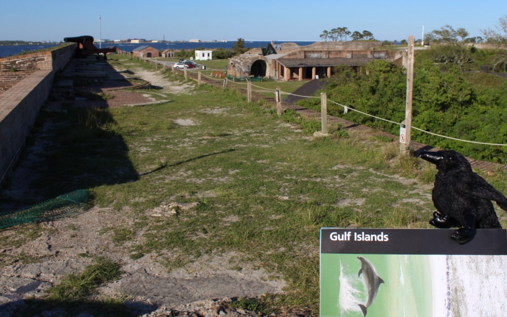
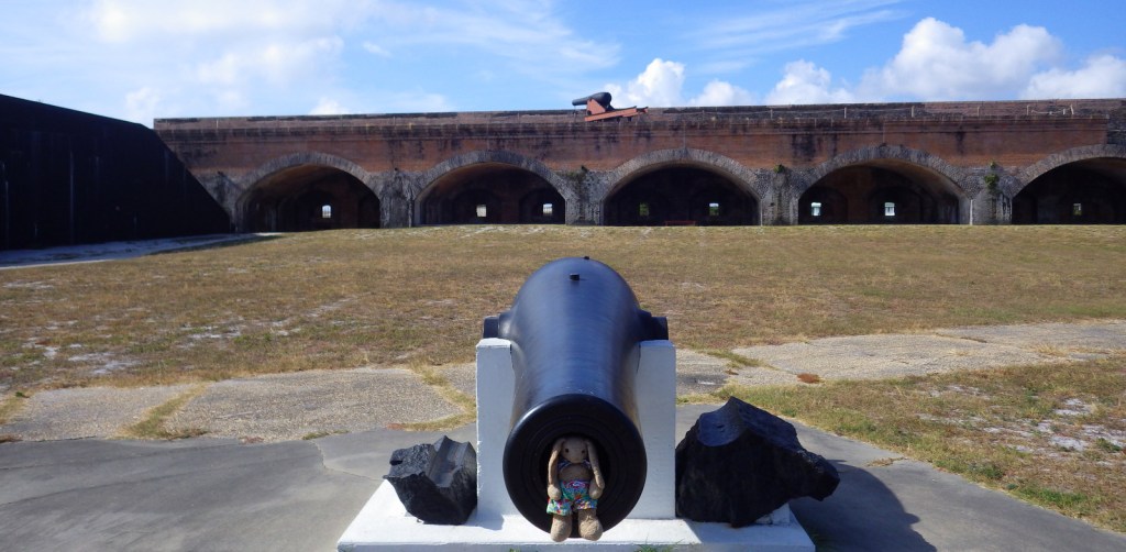
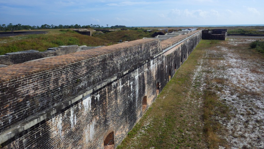
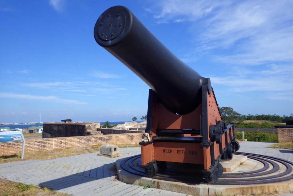
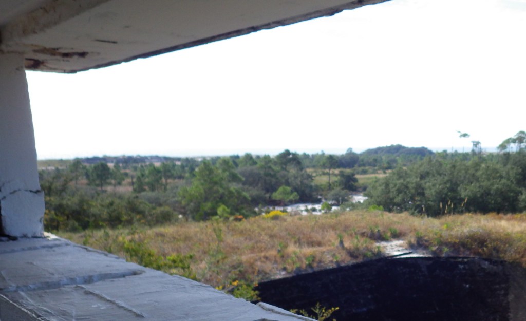
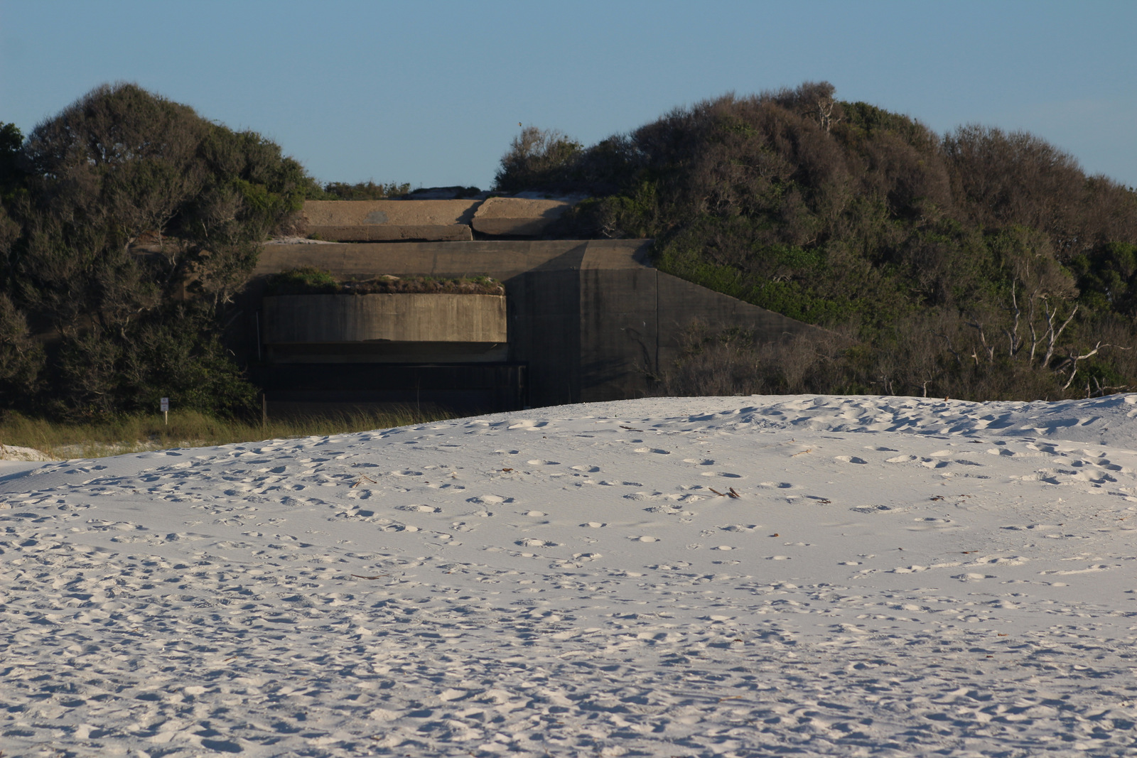
Fort Pickens dates back to 1829 with additional batteries upgraded during World War II.  Inside the fort there is a nice museum explaining the history of Santa Rosa Island.

Peak Season

Summer

Hours

https://www.nps.gov/guis/planyourvisit/hours.htm

Fees

$25 per vehicle or free with America the Beautiful pass

Road Conditions

All access roads are paved

Camping

Reservations are highly recommended for the NPS campgrounds on Santa Rosa Island, Florida and Ocean Springs, Mississippi.  Primitive camping is allowed on undeveloped East Ship, Horn, and Petit Bois Islands.

Related Sites

Dry Tortugas National Park (Florida)

Canaveral National Seashore (Florida)

Everglades National Park (Florida)

Explore More – What are the four species of sea turtles that nest on the park’s beaches?

Big Cypress National Preserve

Overview

Big Cypress National Preserve was originally planned to be a part of Everglades National Park (established in 1947), but this wild area to the north did not gain federal protection until 1974.  There are few roads and trails in the 729,000-acre preserve, which makes it ideal habitat for the endangered Florida panther.  The easiest access points are along Alligator Alley (Interstate 75) or the Tamiami Trail (Highway 41).  While many of the “trails” require route-finding and slogging through deep water, there are also designated ATV and canoe trails located throughout the park.

Highlights

Kirby Storter Roadside Park, Big Cypress Bend Trail, canoeing

Must-Do Activity

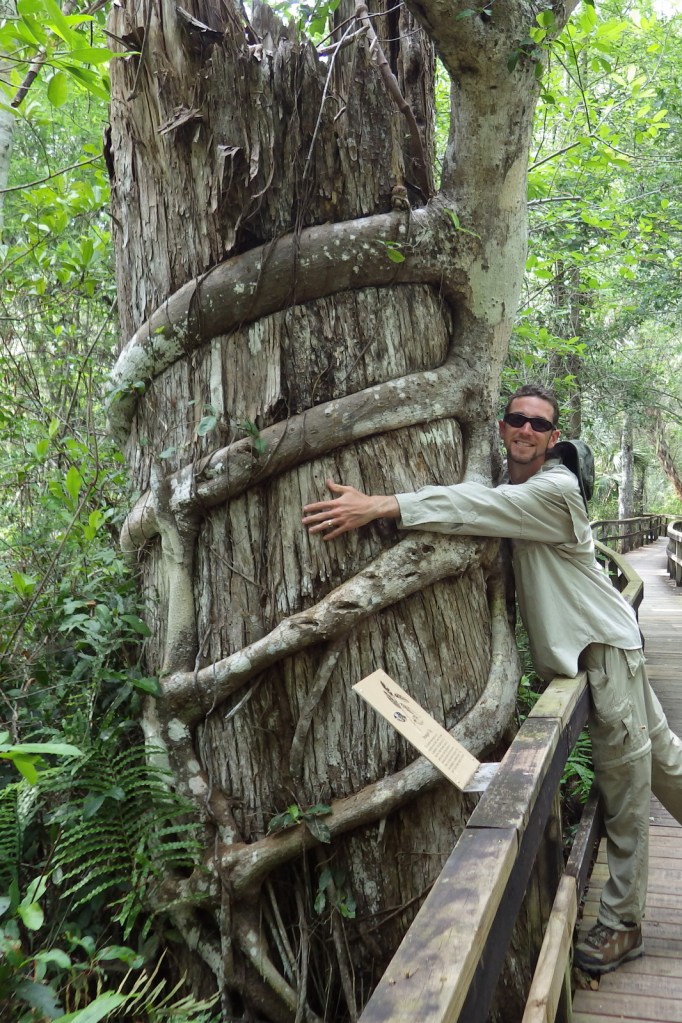
Many of the baldcypress and pond cypress trees that once stood here were logged in the 1930s and 1940s.  At the Kirby Storter Roadside Park, you can still see some large examples of these trees famous for their buttressed boles and root nodules, or “knees,” that stand above the high water level.  We previously reported on these unique deciduous conifers at Congaree National Park in South Carolina, but here they grow right alongside tall palm trees that we typically associate with sandy beaches. 

Best Trail

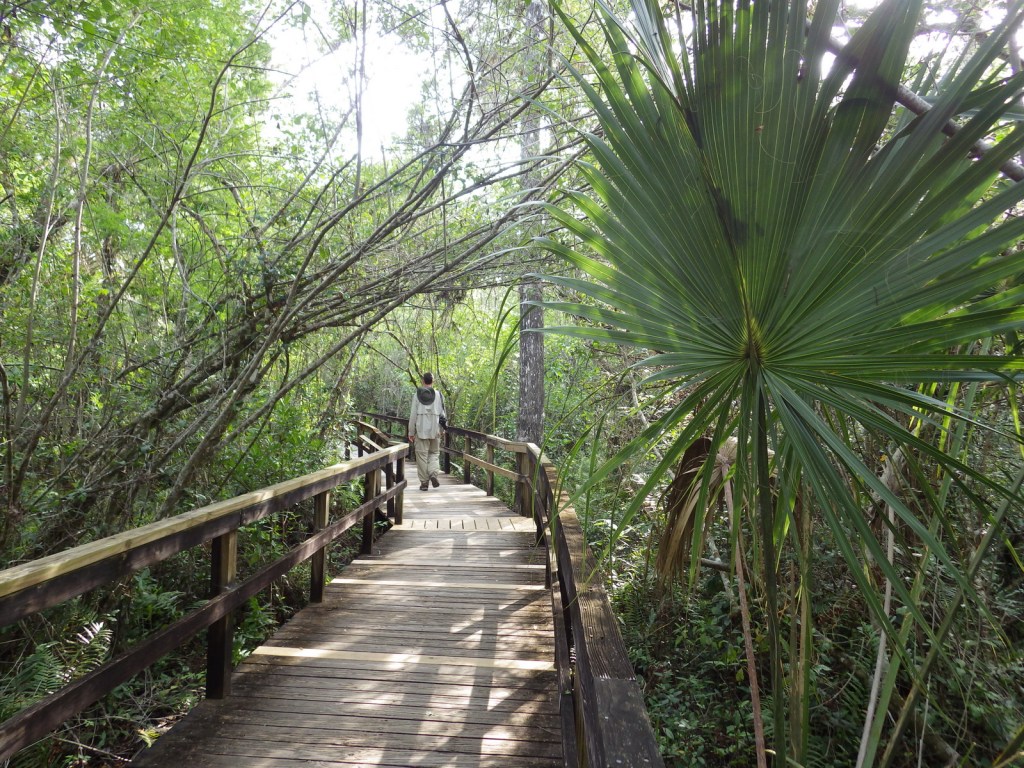
Many of the trails in the park are underwater and require slogging.  Two exceptions with boardwalks are at Kirby Storter Roadside Park and Big Cypress Bend (technically within Fakahatchee Strand Preserve State Park).

Instagram-worthy Photo

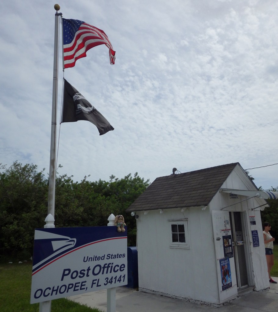
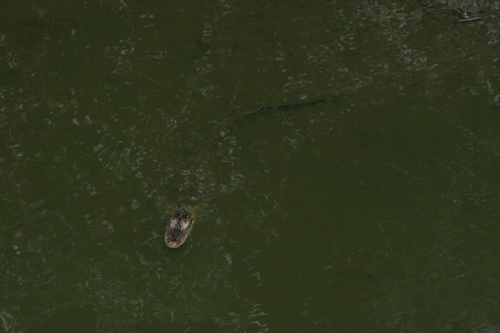
Wherever you look, you are likely to spot an alligator or two in this wild section of south Florida.  An extra photo-op can be found at the smallest post office in the United States, a former irrigation pipe shed located in Ochopee, Florida since 1953.

Peak Season

Winter

Hours

https://www.nps.gov/bicy/planyourvisit/hours.htm

Fees

None (except for off-road vehicle permits)

Road Conditions

Highway 41 and Interstate 75 are paved, but just about every other road in the park is sandy (and/or submerged) and should only be attempted with an ATV or swamp buggy.

Camping

The NPS offers two campgrounds along Highway 41 (there is also one in Collier-Seminole State Park), as well as designated primitive wilderness sites.

Related Sites

Everglades National Park (Florida)

De Soto National Memorial (Florida)

Big Thicket National Preserve (Texas)

Explore More – What are the five main habitat types protected within the preserve?