Overview
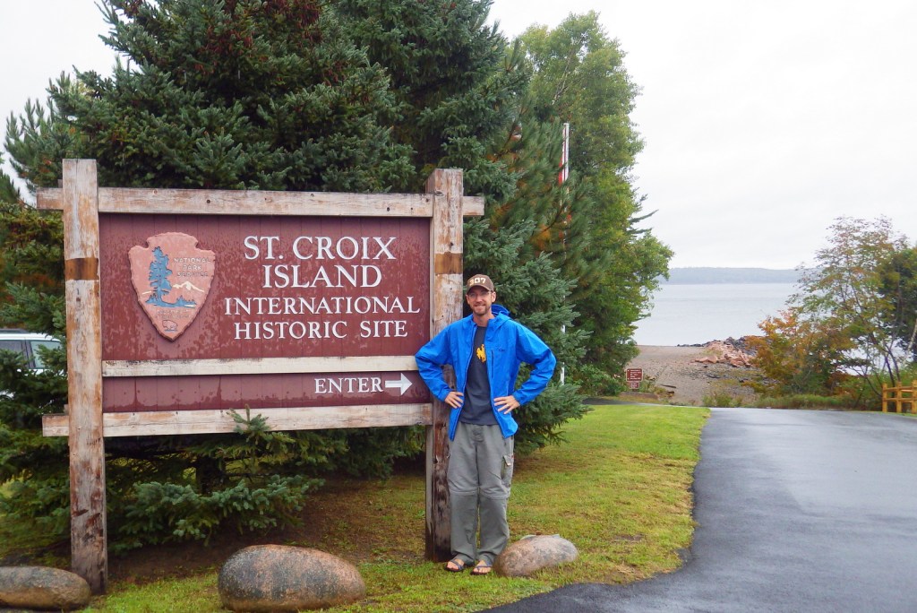
Administered cooperatively by the National Park Service (NPS) and Parks Canada, Saint Croix Island International Historic Site has a unique location in the middle of the Saint Croix River on the boundary between Maine and New Brunswick. It is the only International Historic Site designated in the 419 units of the NPS system. Under the leadership of Lieutenant General Pierre Dugua, Sieur de Mons, the island was the site of a short-lived French colony, founded in April 1604 and abandoned by May 1605 after a hard winter when the settlers relocated to Port Royal, Nova Scotia.

Highlights
Sculptures, tidepooling
Must-Do Activity
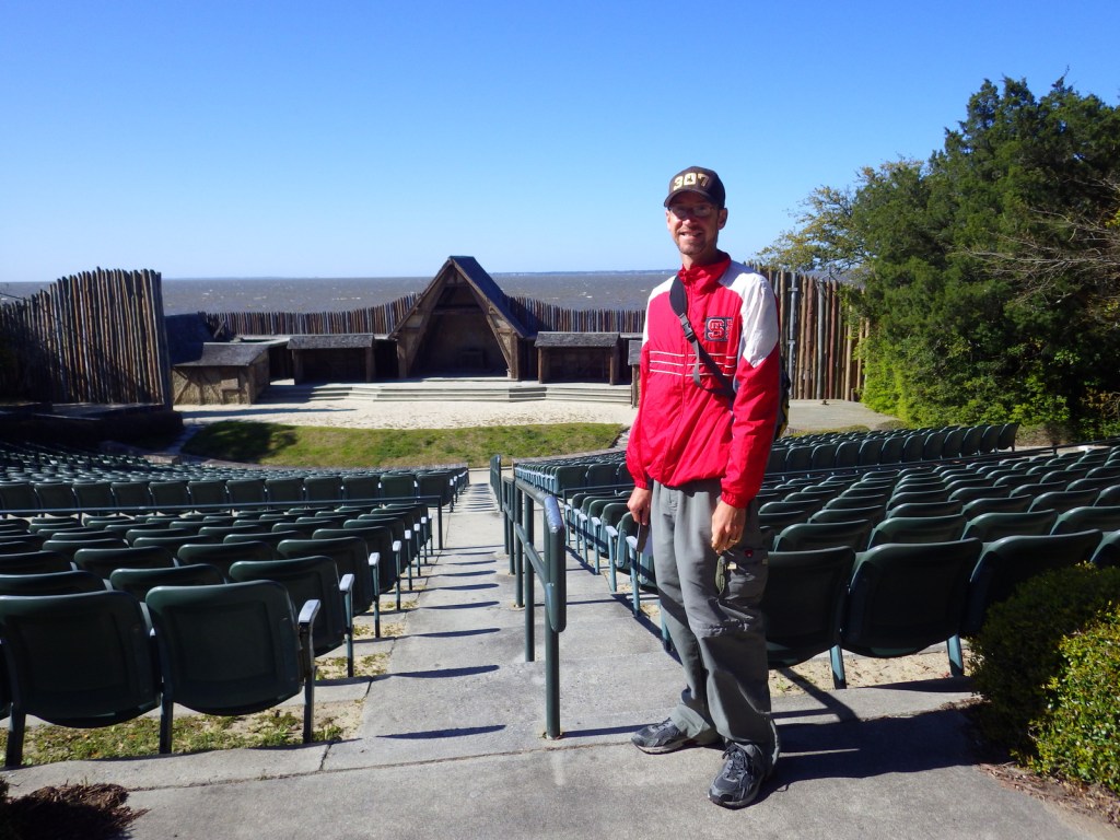
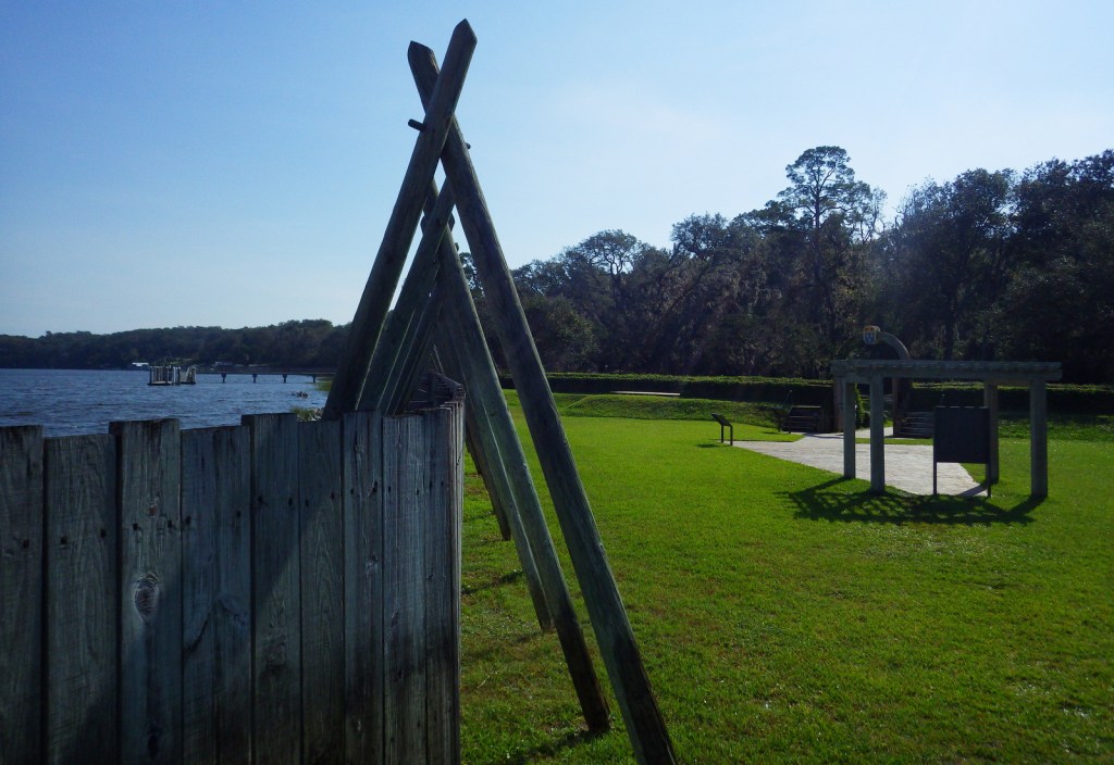
There are no ferries to the 6.5-acre island, but the miniature NPS visitor center and a short walking trail on the river banks provide a thorough background on its history. Six bronze statues offer a glimpse into the past, and all interpretative information is offered in both English and French. Private boats are allowed access to the island during daylight hours. Parks Canada also manages a visitor centre across the river in New Brunswick, as well as Port-Royal National Historic Site in Nova Scotia.
Best Trail
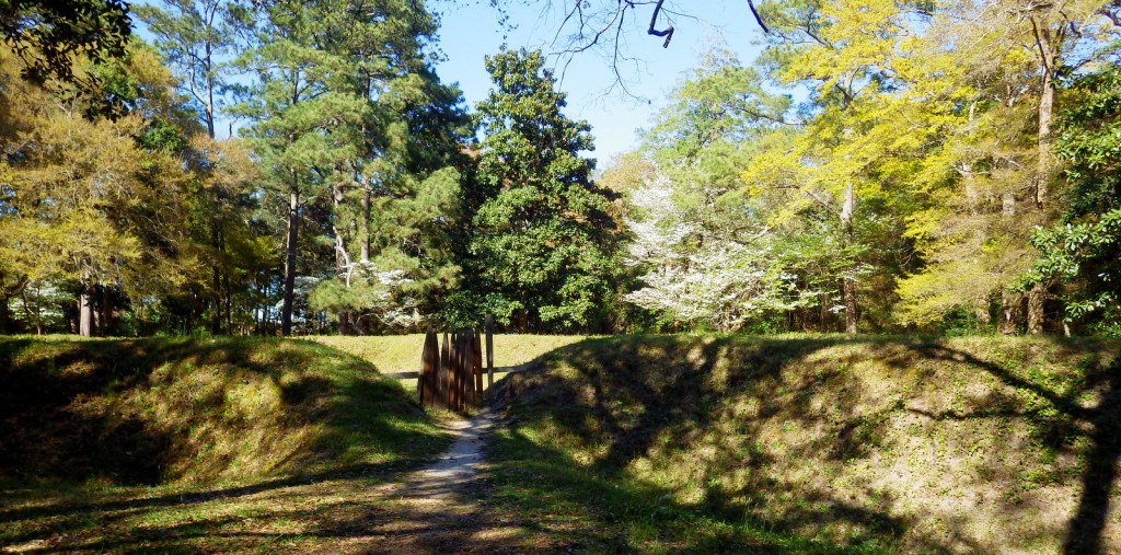
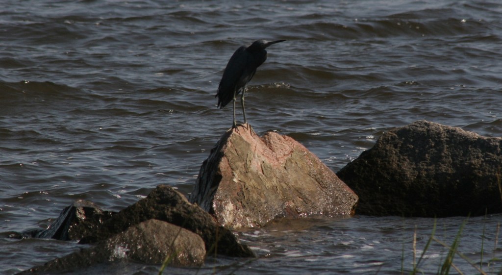
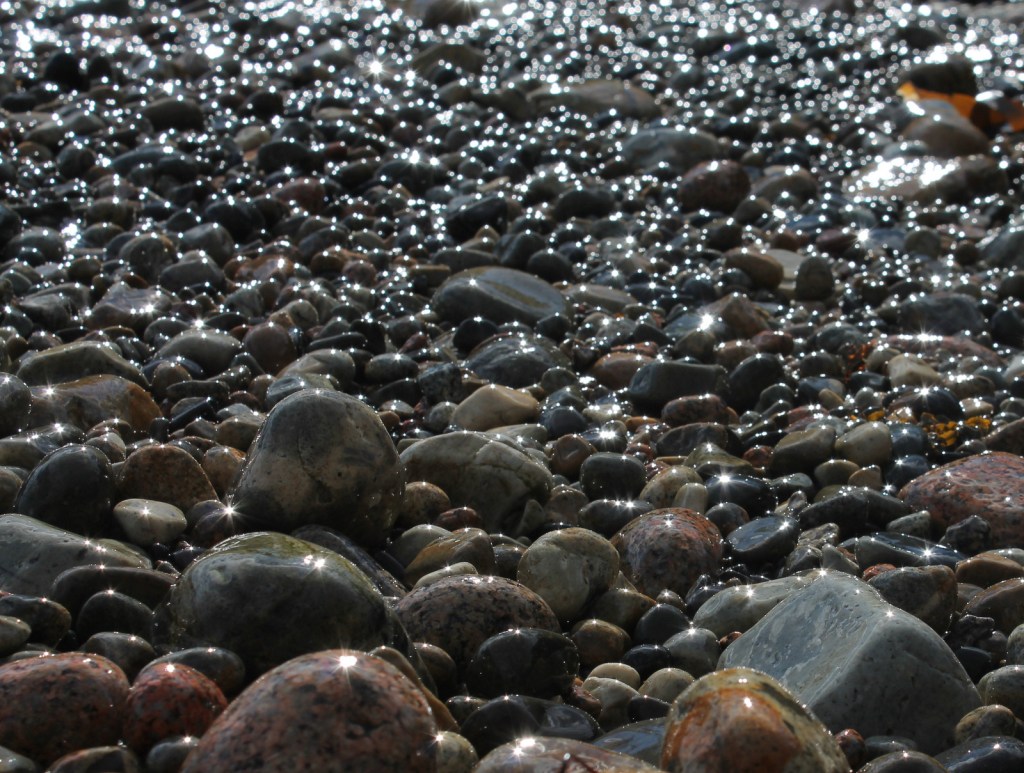
The Saint Croix River is tidally influenced in its lower reaches near Passamaquoddy Bay. If you continue past the pavilion at the end of the short interpretive trail, you can access the beach for tidepooling at low tide. Just up the road at Devil’s Head Conservation Area, a gravel road accesses the river shoreline and a 1.3-mile trail that provides an overlook of the area.
Instagram-worthy Photo
Pick your favorite of the six bronze sculptures to pose with. The native Passamaquoddy traded furs to the French settlers for European goods, like iron cooking pots.

Peak Season
Summer
Hours
https://www.nps.gov/sacr/planyourvisit/hours.htm
Fees
None
Road Conditions
Access road is paved, but be aware that our GPS unit had the wrong location for the NPS visitor center.
Camping
Camping is not permitted on Saint Croix Island. Your best bet might be to the head south to the campgrounds at Acadia National Park.
Related Sites
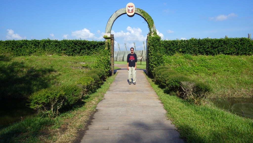
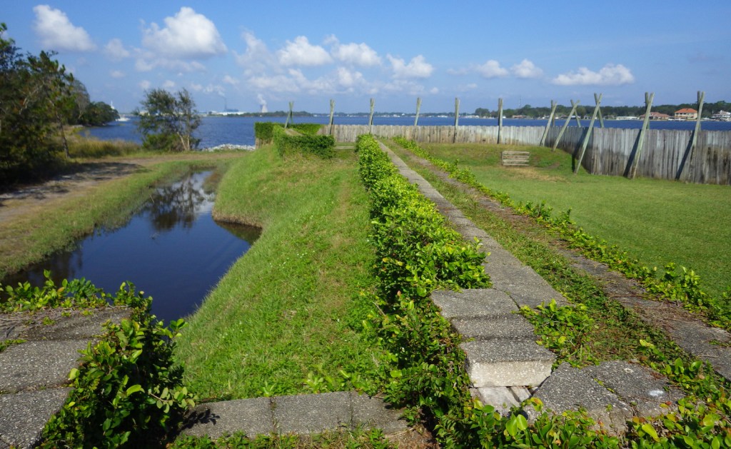
Fort Caroline National Memorial (Florida)
Katahdin Woods and Waters National Monument (Maine)
Acadia National Park (originally established as Sieur de Monts National Monument, Maine)
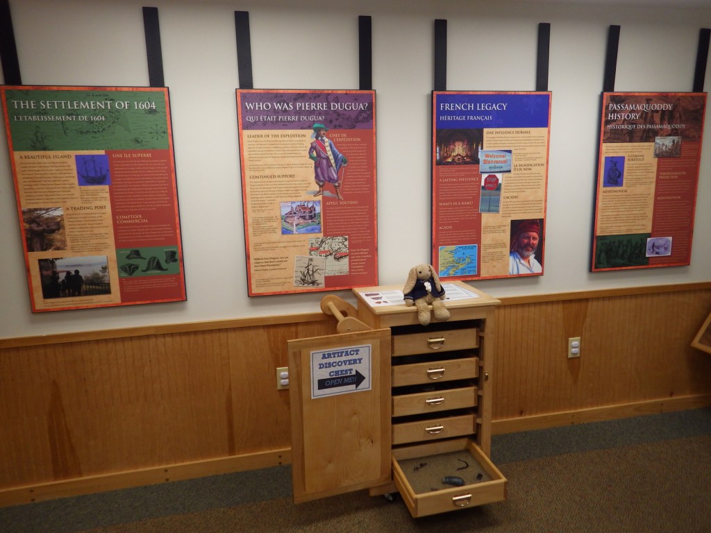
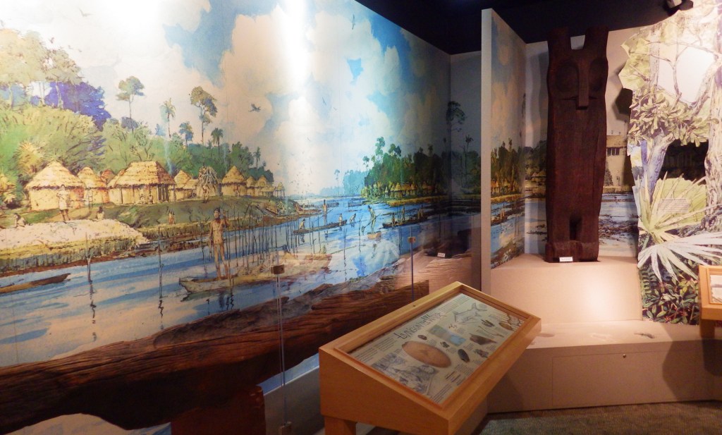
You are looking at the full extent of the museum inside the NPS visitor center. 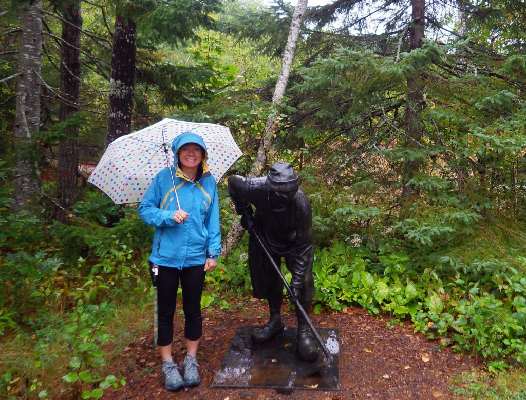


Caterpillar 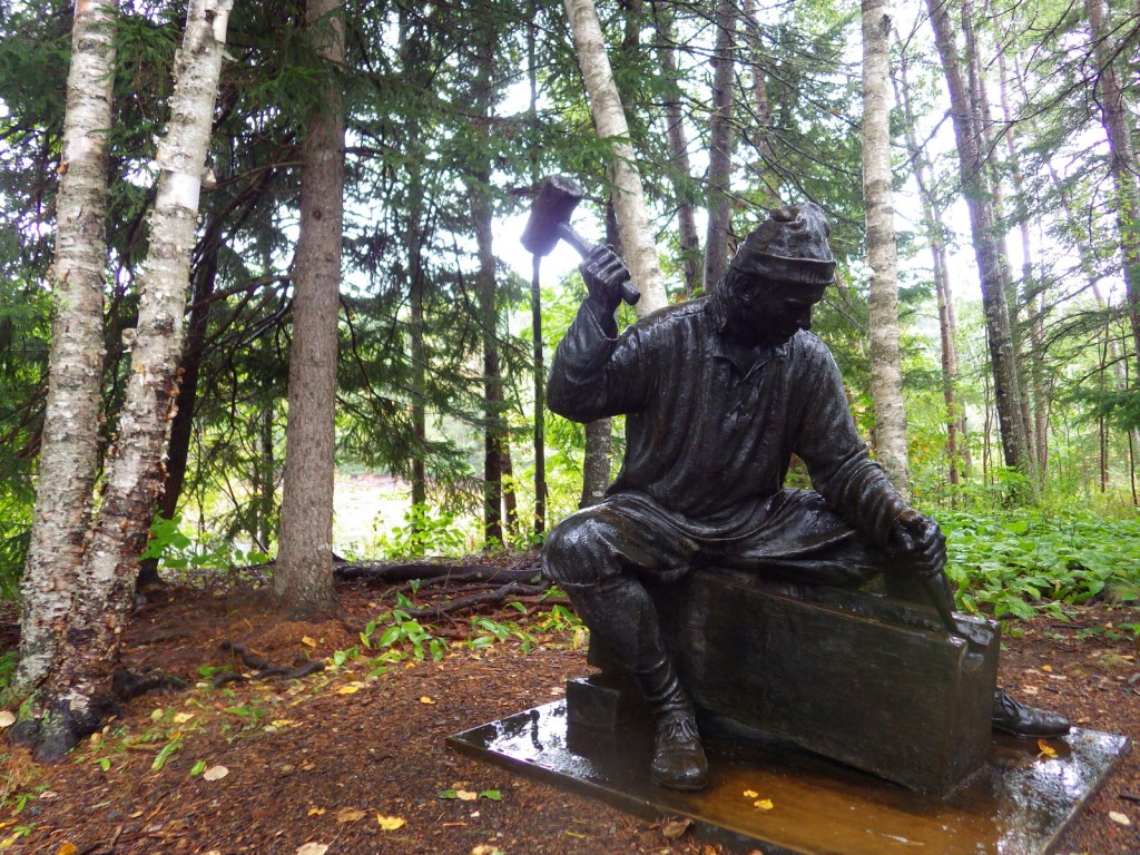

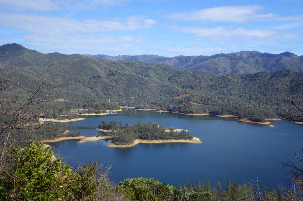
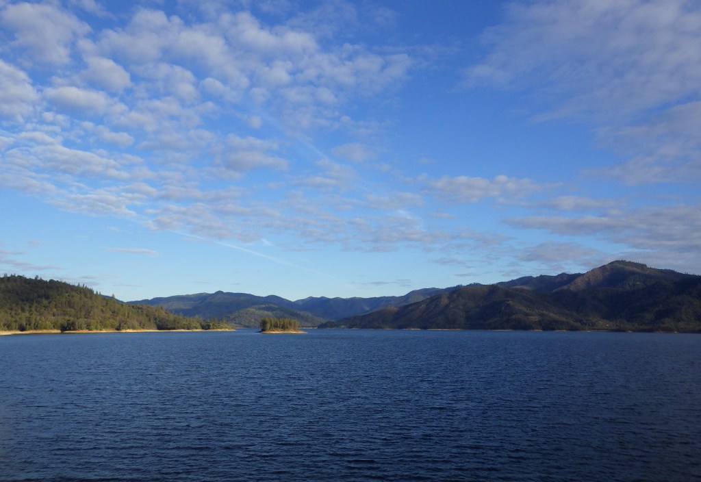
The island is in the middle of the river in this photo 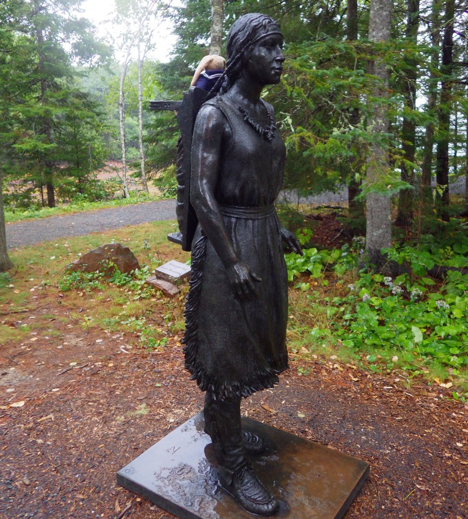

Tidepooling finds 
Saint. Croix Island is far off in this photo taken from Devil’s Head Conservation Area.
Explore More – Since Saint Croix Island was located in the center of a brackish river, where did the French settlers have to go for fresh drinking water?