Overview
Richmond, Virginia was the capital of the Confederate States of America during the Civil War, located only 110 miles south of Washington, D.C. The heavily fortified city repelled Union attacks in 1862 and 1864, but was abandoned following the retreat from Petersburg on April 2, 1865. Richmond National Battlefield Park is composed of thirteen units connected by an 80-mile driving tour, some of which are only staffed seasonally. The main National Park Service (NPS) visitor center at Tredegar Iron Works is located near the historic Virginia capitol building and not far from Maggie L. Walker National Historic Site.

Highlights
Tredegar Iron Works, film, Cold Harbor battlefield, Chimborazo Medical Museum
Must-Do Activity
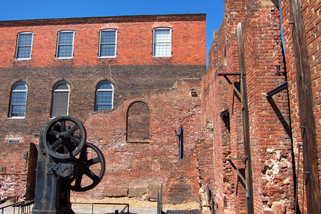
The modern NPS visitor center is located downtown inside the Tredegar Iron Works on the Canal Walk. During the war, this foundry produced almost 1,100 cannons, as well as armor plating for ironclad gunboats. Today the stabilized and enclosed remains of Tredegar Iron Works offer three stories of exhibits, including a film and several interactive multimedia displays. The site of the June 1864 Battle of Cold Harbor has a year-round visitor center northeast of Richmond. We also highly recommend a stop at the Chimborazo Medical Museum, which covers an often overlooked aspect of a war that claimed 620,000 soldiers’ lives, many from disease.
Best Trail
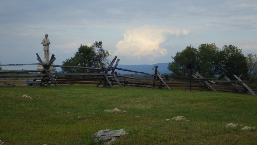
Short trails help visitors understand the battles at Beaver Dam Creek, Gaines’ Mill, Malvern Hill, Cold Harbor, Fort Harrison, Fort Brady, Parker’s Battery, and Drewry’s Bluff.
Instagram-worthy Photo
The stabilized brick walls of Tredegar Iron Works are an interesting subject for photographs. The foundry was protected by its workers from destruction by the retreating Confederate army on April 2, 1865. This proved important during Reconstruction after the war.
Peak Season
Summer
Hours
https://www.nps.gov/rich/planyourvisit/hours.htm
Fees
None except for parking at Tredegar Iron Works
Road Conditions
All roads paved
Camping
Pocahontas State Park and Forest offers a campground with running water just outside Richmond, Virginia.
Related Sites
Maggie L. Walker National Historic Site (Virginia)
Fredericksbug and Spotsylvania County Battlefields Memorial National Military Park (Virginia)
Appomattox Court House National Historical Park (Virginia)

Tiff on the steps of Chimborazo Medical Museum 
A model of Chimborazo 
Wondon inside the Chimborazo museum 
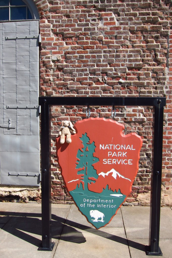
Wondon at Tredegar Iron Works 
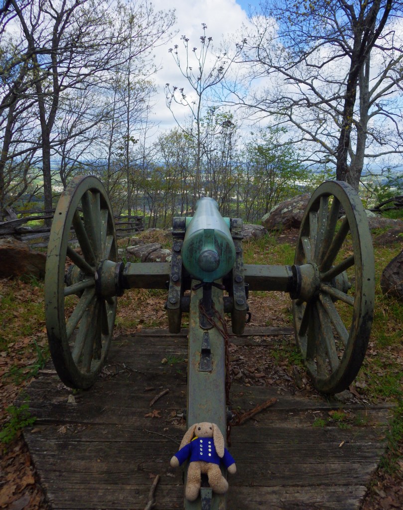
Wondon on a cannon 
Scott at Tredegar Iron Works 
Explore More –Opened in October 1861, how many sick and wounded soldiers were treated at Chimborazo Hospital (with its 3,000 bed capacity and 20% mortality rate) by the end of the Civil War?