Tag Archives: tour

Ulysses S. Grant National Historic Site

Overview

In a suburb of St. Louis, Missouri is the antebellum plantation (White Haven) of Ulysses S. Grant.  Following his graduation from West Point in 1843, Lieutenant Grant was stationed at nearby Jefferson Barracks.  It was while visiting his former roommate at White Haven that he met Fred Dent’s sister, Julia.  Grant would eventually marry her and together they raised their children here from 1854-59, following his resignation from the U.S. Army.  The family intended to return to the plantation following the Civil War, but Grant’s two terms as President did not allow that to happen.

Highlights

Museum, film, historic house, cannons

Must-Do Activity

A thorough museum housed in the former horse stables provides days’ worth of reading on this controversial General and President.  Opposing arguments are posted around the stables allowing visitors to answer tough questions like, Was Grant a butcher? and Was Grant a corrupt politician?  Access inside the house requires a free guided tour given regularly throughout the day by National Park Service (NPS) rangers.

Best Trail

There is a short walking tour on the ten-acre NPS property.  The neighboring wildlife park named Grant’s Farm (admission fee) contains a log cabin built by Grant in 1855.

Instagram-worthy Photo

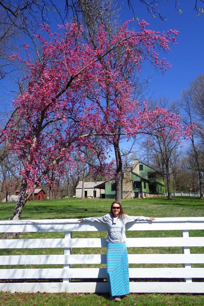
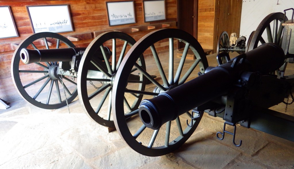
During our visit in early April, the redbud trees were in bloom.  Plus, there are cannons to pose with.

Peak Season

Summer

Hours

https://www.nps.gov/ulsg/planyourvisit/basicinfo.htm

Fees

None, but a free guided tour (tickets required) is the only way to enter the main house

Road Conditions

All roads paved

Camping

None at the site, but several private campgrounds nearby.

Related Sites

General Grant National Memorial (New York)

Ozark National Scenic Riverways (Missouri)

Gateway Arch National Park (Missouri)

Explore More – Did the family have slaves at White Haven?
Fort Scott National Historic Site

Overview

Near the border of Kansas and Missouri sits Fort Scott, which like Fort Smith (to the south) was an important frontier military post during the Mexican-American War and skirmishes with Plains Indians.  Several buildings were sold off in 1853, two becoming hotels that catered to pro-slavery and anti-slavery clients when this region was dubbed “Bleeding Kansas.”  During the Civil War, the town became a strategic location utilized to quell uprisings and maintain supply lines.  Abandoned by the military after the war, soldiers returned when settlers opposed railroad construction in the 1870s.  This 17-acre historic site was authorized in 1965 but not established as a part of the National Park Service (NPS) system until 1979.

Highlights

Museum, film, Officers’ Quarters, restored tallgrass prairie

Must-Do Activity

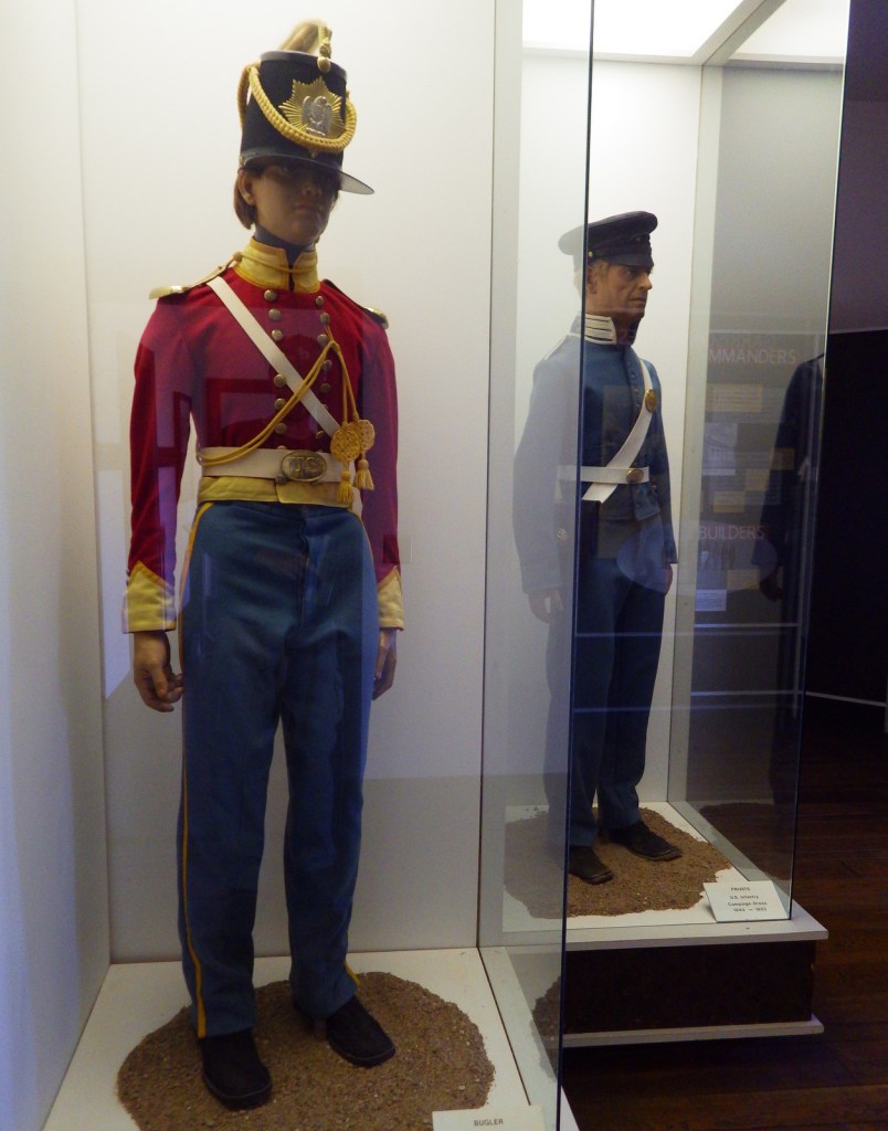
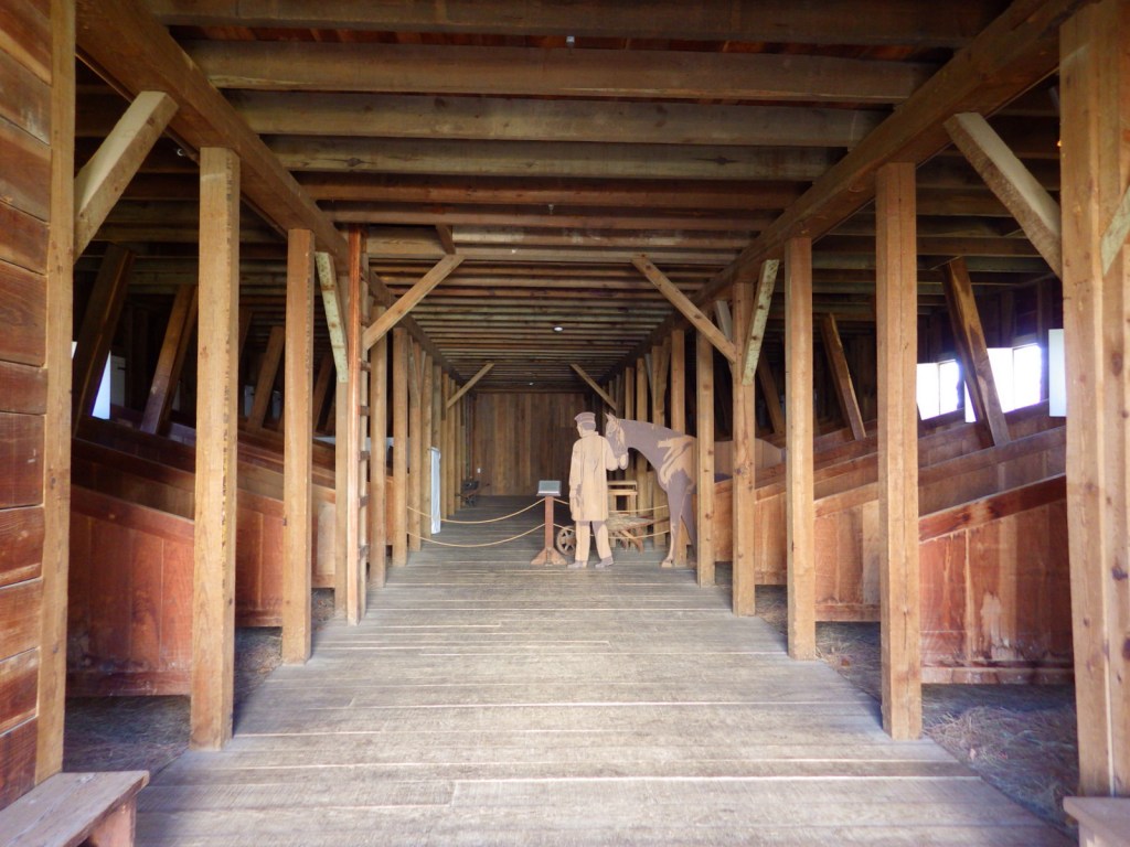
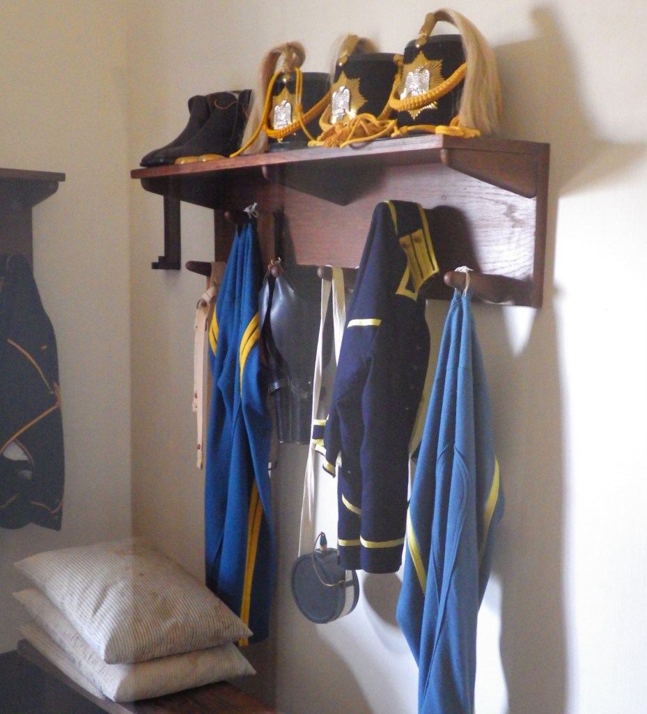
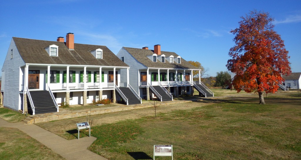
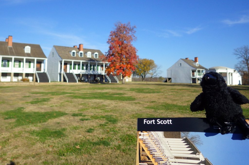
The NPS visitor center is located in the old hospital at Fort Scott National Historic Site.  There are 11 original structures here and you can walk through the well-maintained Officers’ Quarters, bake house, and carriage house.  Posted here 1842-1853 were flamboyantly-uniformed dragoons, who were elite fighters on foot or horseback.  Dragoons knew they were only as effective as their horses, so they took good care of them.  In fact, the horse stables remain the largest building at Fort Scott on the edge of the beautifully-landscaped parade ground.

Best Trail

The site may be small and surrounded by roads and development, but it does maintain five acres of restored tallgrass prairie (utilizing controlled burning) with a short nature trail.

Instagram-worthy Photo

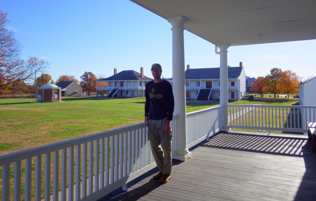
The site is especially pretty in November, when the maple leaves turn red and orange in sharp contrast to the white buildings.

Peak Season

Summer

Hours

https://www.nps.gov/fosc/planyourvisit/hours.htm

Fees

None

Road Conditions

All roads paved

Camping

There is a city-operated campground about two miles from the fort, as well as several state parks in the region.

Related Sites

Fort Smith National Historic Site (Arkansas-Oklahoma)

Fort Larned National Historic Site (Kansas)

Tallgrass Prairie National Preserve (Kansas)

Explore More – What are the three architectural styles reflected in the buildings are Fort Scott?
Cape Cod National Seashore

Overview

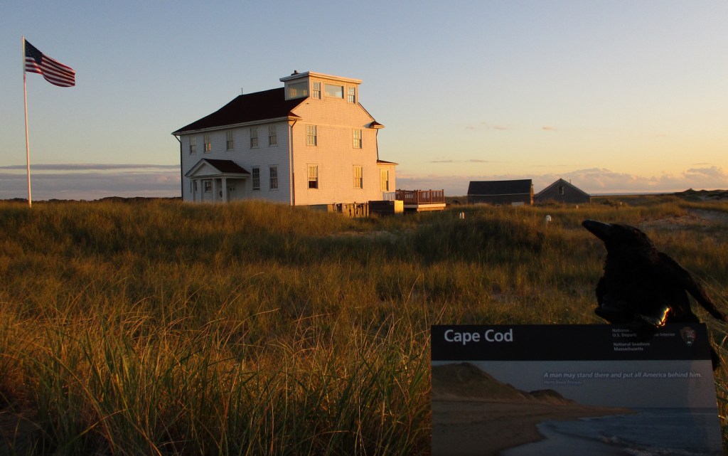
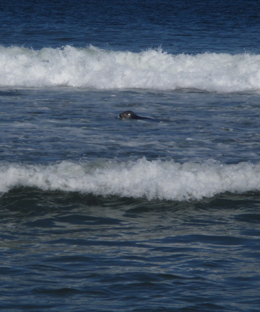
Northernmost of the ten National Seashores in the National Park Service (NPS) system, Cape Cod National Seashore includes 40 miles of shoreline on the narrow glacial deposit that sticks out of Massachusetts like a fishhook.  Its 44,000 acres are interspersed with towns that manage (and charge for) many of the beaches along the coastline.  Watch for gray seals playing in the surf, which attract predators like great white sharks to the shallows.  Even if you want to swim in the chilly ocean water, if you see gray seals it is best to go somewhere else so you are not confused with food.

Highlights

Nauset Light, Three Sisters Lighthouses, Old Harbor Life-Saving Station Museum

Must-Do Activity

The best place to start your visit is Salt Pond Visitor Center, which has a museum run by the NPS.  Located right off Highway 6, it is also a great place to stretch your legs on the Buttonbush or Nauset Marsh Trails.  From there, it is a short drive to Coast Guard or Nauset Light Beaches that offer tram service when parking lots are full.  Lifeguards are on duty at specific beaches from late June through Labor Day, which should give an indication of the short season when it is actually warm enough to enjoy the water.

Best Trail

There are 12 self-guided trails within Cape Cod National Seashore, plus three bicycle trails up to 7.3 miles long.  Our favorite was the one-mile Beech Forest Trail near Race Point Beach at the tip of Cape Cod.

Instagram-worthy Photo

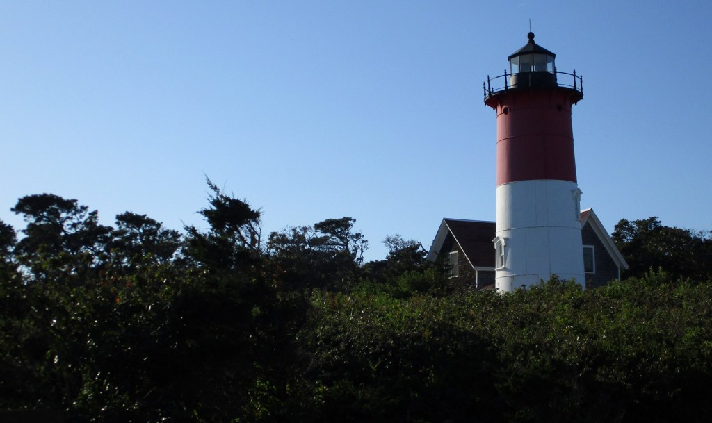
If the red-striped Nauset Light looks familiar that is because you might have seen it on a bag of potato chips at the grocery store.  While there, take a walk over to the Three Sisters Lighthouses that have also been moved inland from their original eroding clifftop locations.

Peak Season

Summer

Hours

https://www.nps.gov/caco/planyourvisit/hours.htm

Fees

$25 per vehicle or America the Beautiful pass

Road Conditions

All roads are paved and a permit from the Oversand Station at Race Point is required for those wishing to drive on designated sand routes.

Camping

No camping is offered through the NPS, but there are several private and state-run campgrounds, plus countless motels and vacation rentals.

Related Sites

Salem Maritime National Historic Site (Massachusetts)

Boston Harbor Islands National Recreation Area (Massachusetts)

Fire Island National Seashore (New York)

Explore More –Who was the famous Italian inventor that transmitted transatlantic radio signals from massive antennas on Cape Cod in the early 1900s?

Cumberland Island National Seashore

Overview

Off the coast of Georgia, Cumberland Island National Seashore was established in 1972 and is only accessible by boat.  While kayaks and private boats are allowed, most visitors arrive by ferry from St. Marys (reservations recommended).  Much of the northern half of the island is designated wilderness with backpacking campsites dispersed near places where freshwater is available for filtration.  Bicycles can be rented once you arrive on the island (they are not allowed on the ferry) and are permitted on the many miles of roads, but not on the trails or beach. 

Highlights

Dungeness Ruins, Ice House Museum, Marsh Boardwalk, First African Baptist Church

Must-Do Activity

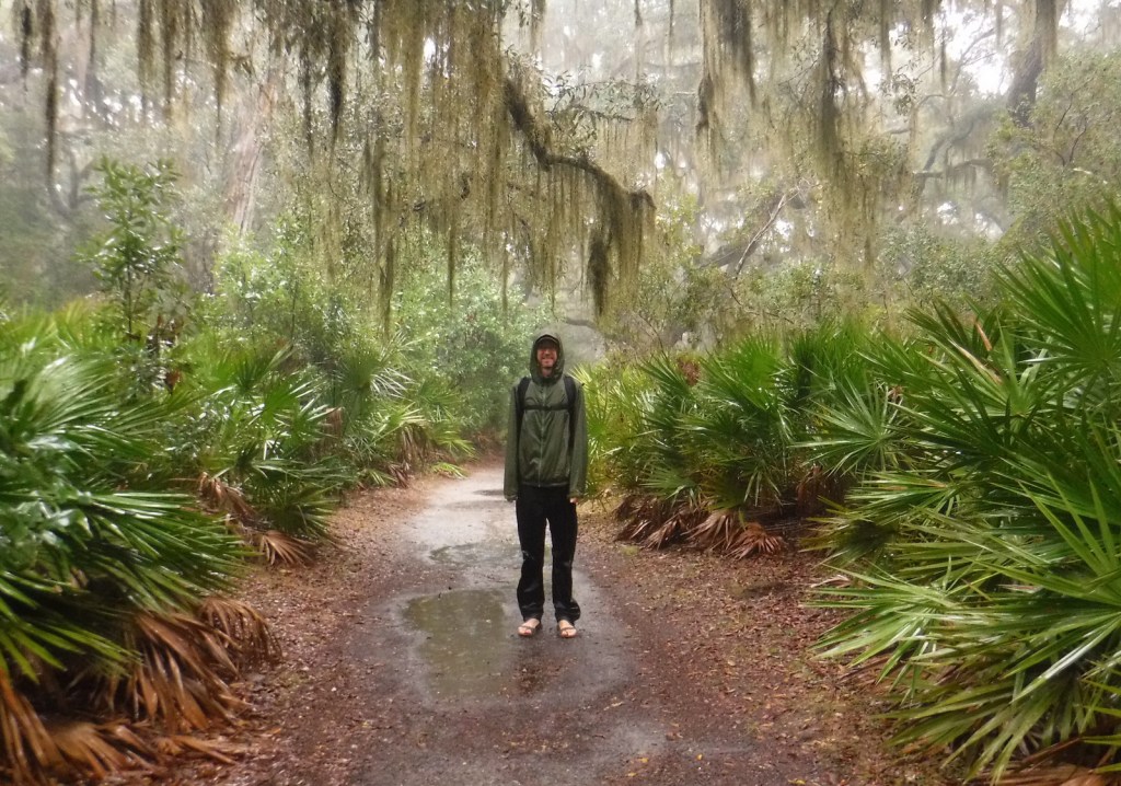
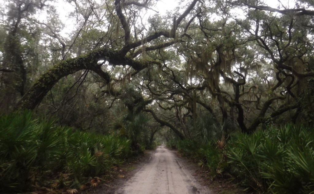
While it is fun to spend time beachcombing, what really sets Cumberland Island apart are the trails that cut through the maritime forest of twisty live oak trees.  Watch for feral horses, white-tailed deer, armadillos, turkeys, and other birds along the way.  Alligators can also be seen in the freshwater ponds.  Fossilized shark teeth are commonly found on the island, especially on the roads.  Guided tours in vans can be reserved, which can be a good option on rainy days or if you want to make it to the 1890s African-American settlement at the northern end of the island.

Best Trail

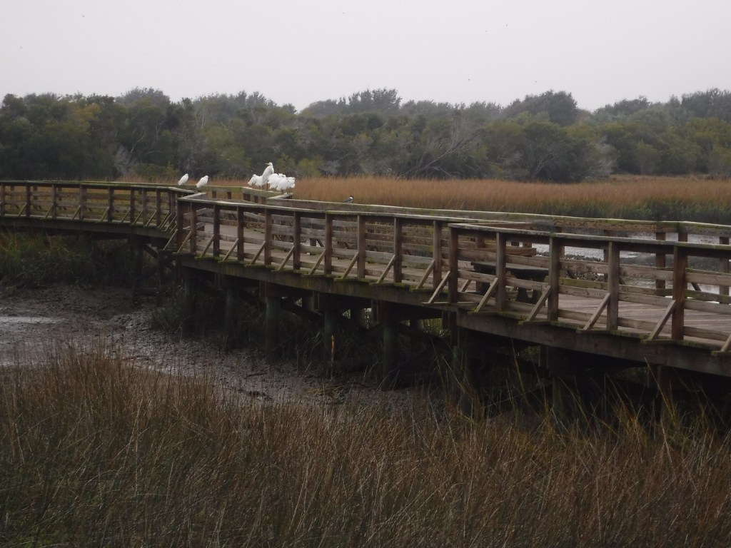
The island has more than 50 miles of trails and you can form loops of varying lengths by walking the beach and the inland Parallel Trail.  The trails are very well packed though sandy, and not as hard to walk on as we imagined.  The only deep sand we encountered was on the designated dune crossings between the beach and the inland forest.

Instagram-worthy Photo

Dungeness is the name of a mansion built by the Carnegie family that burned down in 1959.  It was constructed atop the ruins of a house of the same name previously owned by Revolutionary War General Nathanael Greene.

Peak Season

Summer

Hours

https://www.nps.gov/cuis/planyourvisit/hours.htm

Fees

$10 per person or America the Beautiful pass, plus the charges for ferry tickets and overnight campsites

Road Conditions

Roads are packed sand and heavily rutted, but unless you own property on the island or take the van tour you will not have to worry about their spine-rattling condition.

Camping

Reservations are required for all overnight stays, including at the privately-owned inn.  Sea Camp offers cold showers and potable water a moderately short walk from the ferry dock.  There are numerous backcountry campsites, but all camping is limited to seven days.

Related Sites

Fort Frederica National Monument (Georgia)

Timucuan Ecological and Historic Preserve (Florida)

Cape Lookout National Seashore (North Carolina)

Explore More – Related to American Quarter Horses, Tennessee Walkers, Arabians, and Paso Fino, what is the total population of feral horses living on Cumberland Island?

Fort Vancouver National Historic Site

Overview

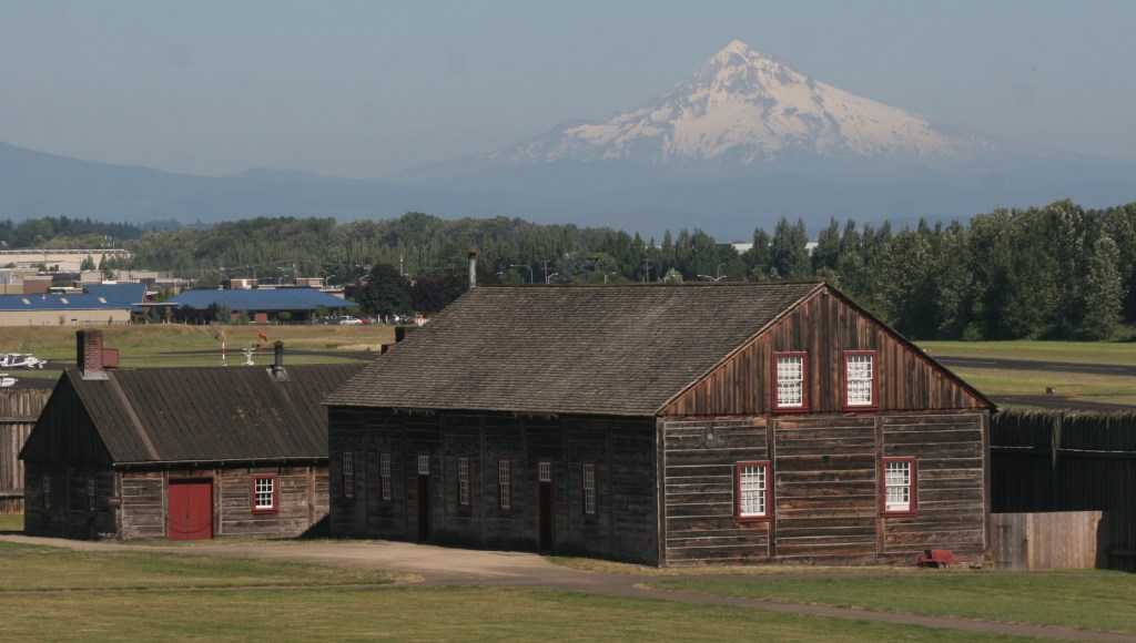
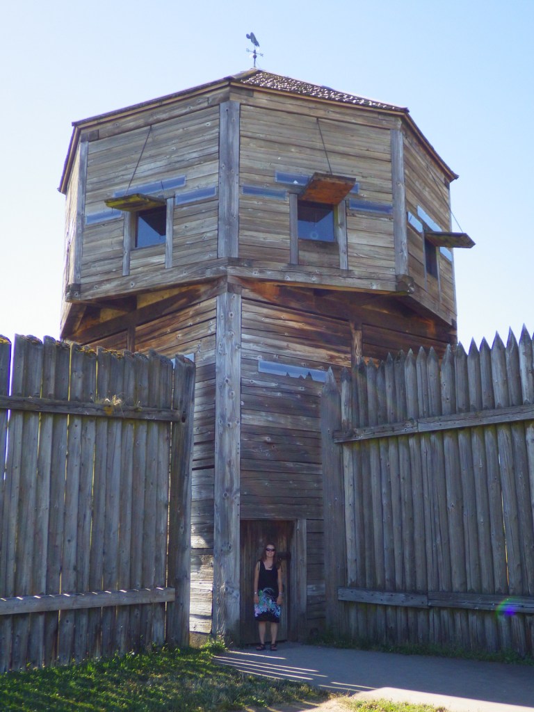
Across the Columbia River from Portland, Oregon stands the palisade of Fort Vancouver National Historical Park.  From 1825 to 1860 it served as the Hudson’s Bay Company’s western headquarters, even after the U.S. took control of the territory from Great Britain in 1846.  Within walking distance, the National Park Service (NPS) also manages the free Pearson Air Museum at an active airport surrounded by the Vancouver National Historic Reserve.  A separate unit of the park, the McLoughlin House (free) is found in downtown Oregon City and focuses on the area’s significance as the terminus for the Oregon Trail.

Highlights

Reconstructed fort, period garden, Pearson Air Museum, McLoughlin House

Must-Do Activity

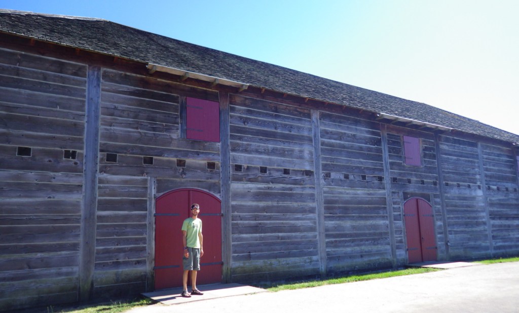
Today’s fort buildings are reconstructions, including the bakehouse, blacksmith shop, chief factor’s house, fur store, and bastion which are open to visitors with costumed reenactors inside happy to answer questions.

Best Trail

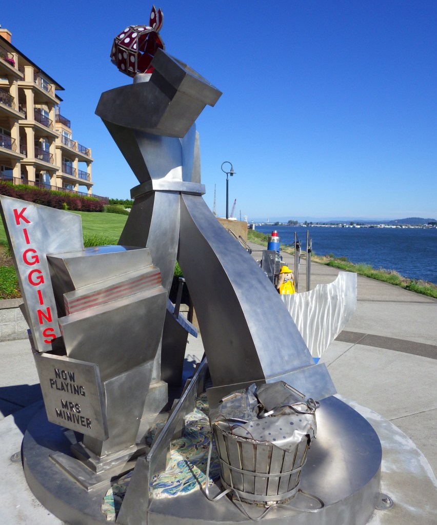
True to its past, Vancouver, Washington (not to be confused with the large city across the Canadian border) remains a major shipping center to this day.  Its waterfront is home to a sculpture honoring “Wendy the Welder” and the women who worked here during World War II.  Many structures are preserved in the surrounding Vancouver National Historic Reserve, including the Marshall House (tours for a fee). 

Instagram-worthy Photo

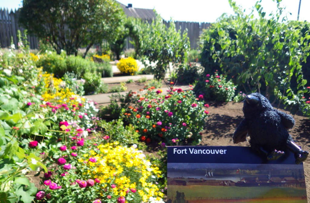
A garden designed to mimic one from 1845 is maintained just outside the fort’s palisade.

Peak Season

Summer

Hours

https://www.nps.gov/fova/planyourvisit/hours.htm

Fees

$10 per person (only to enter the fort itself) or America the Beautiful pass

Road Conditions

Access roads paved, but parking is a short walk from the fort.

Camping

Battleground Lake State Park has a campground 20 miles northwest of Vancouver, Washington.  There are many camping options across the Columbia River in Mount Hood National Forest.

Related Sites

Grand Portage National Monument (Minnesota)

Whitman Mission National Historic Site (Washington)

Mount Rainier National Park (Washington)

Explore More – Before it became a unit of Fort Vancouver National Historic Site in 2003, when was McLoughlin House named a National Historic Site in the “father of Oregon’s” honor (even though he was Canadian)?