Overview
Whiskeytown-Shasta-Trinity National Recreation Area is co-managed by the National Park Service (NPS) and the U.S. Forest Service. The NPS is in charge of Whiskeytown Lake, a reservoir west of Interstate 5, about 230 miles north of San Francisco, California. Camping, hiking, gold panning, fishing, boating, and swimming are popular activities, but watch out for poison-oak.

Highlights
Waterfall Challenge, Camden House, gold panning, lake recreation opportunities
Must-Do Activity
Pick up an official Waterfall Challenge Passport at the NPS visitor center along with information on the four waterfall hiking trails. Tower House Historic District includes the Camden House built in 1852 by a Gold Rush prospector, with seasonal tours offered by the NPS (it was temporarily closed in 2019 after the Carr Fire). You can even pan for gold (with a $1 permit).
Best Trail
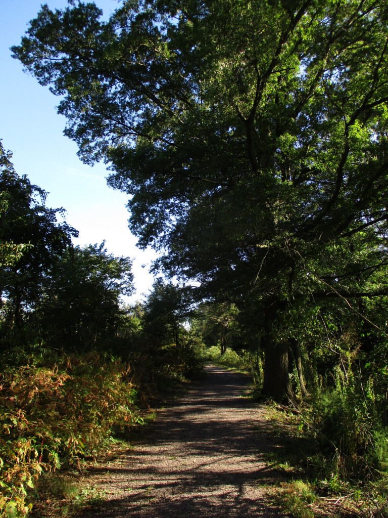
Whiskeytown Falls, Boulder Creek Falls, Brandy Creek Falls, and Crystal Creek Falls are accessible by hiking a total of 11 miles, but it may take longer depending on your choice of trails and road closures. The trails are steep and poorly marked in some places.
Instagram-worthy Photo
Whiskeytown Falls is 220 feet tall and is accessible on a 3.4-mile roundtrip trail, but we thought the most photogenic waterfall was Crystal Creek Falls.

Peak Season
Summer
Hours
https://www.nps.gov/whis/planyourvisit/hours.htm
Fees
$25 per vehicle or America the Beautiful pass
Road Conditions
Highway 299 on the north side Whiskeytown Lake is paved and accesses Oak Bottom Campground. Some of the gravel access roads are rough, but passable even with passenger vehicles.
Camping
There are eight campgrounds around the lake, some tent-only, but RVs are allowed at Oak Bottom and Brandy Creek Campgrounds.
Related Sites
Lava Beds National Monument (California)
Lassen Volcanic National Park (California)
Oregon Caves National Monument and Preserve (Oregon)

Boulder Creek Falls 
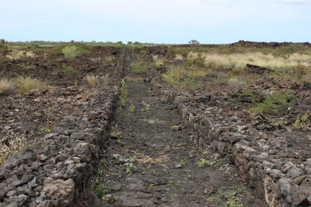
Crystal Creek Water Ditch 
Scott on the trail 
Whiskeytown Falls 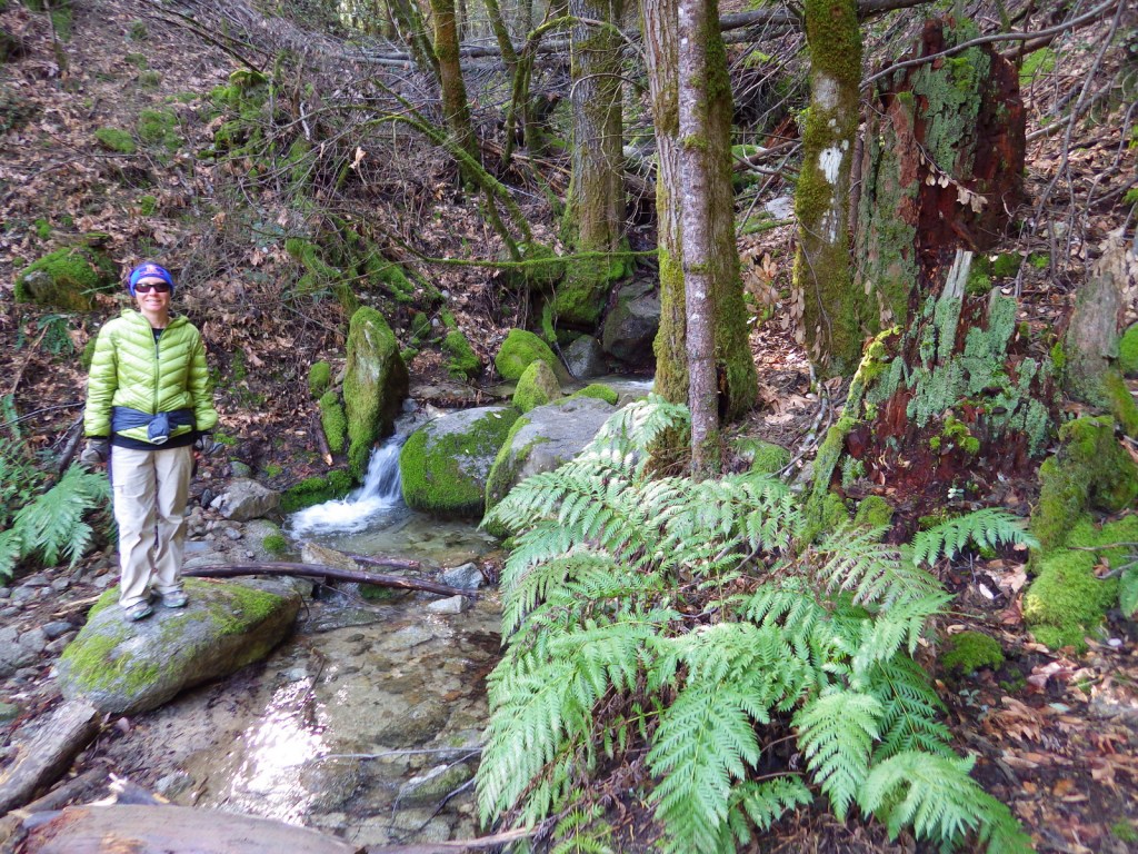
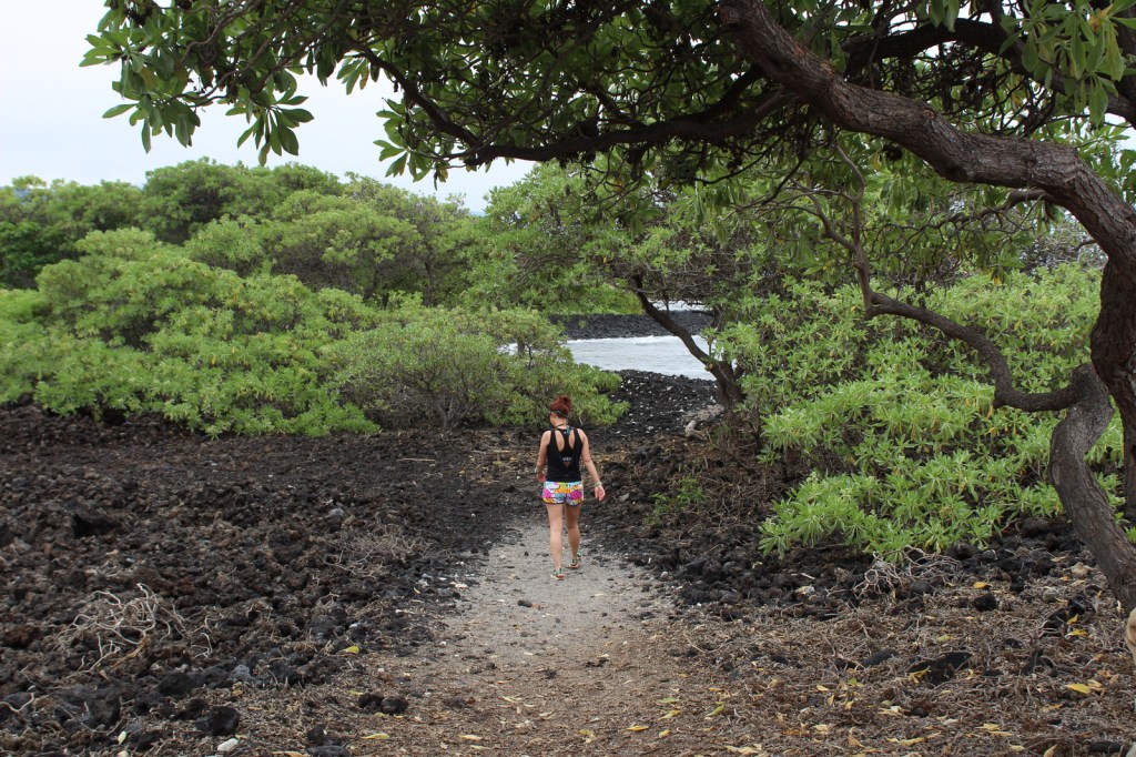
Tiff on the trail 
Scott at Brandy Creek Falls 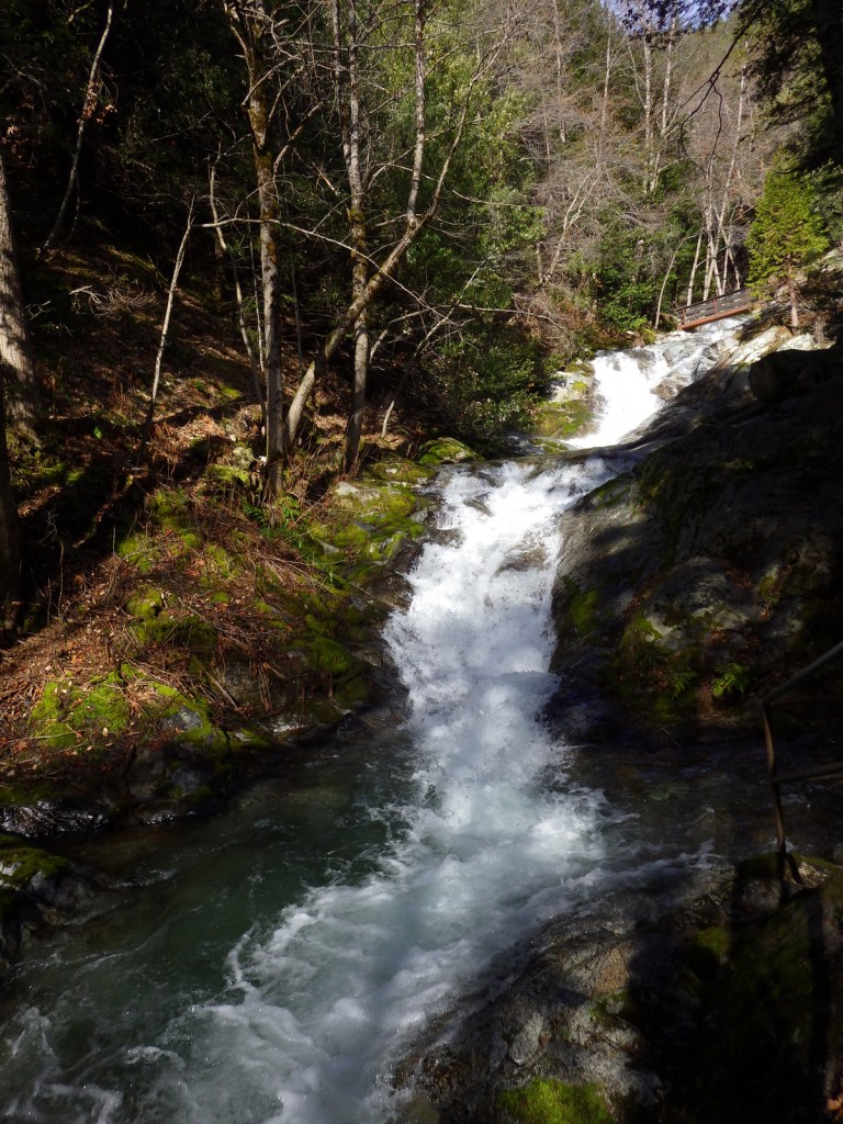
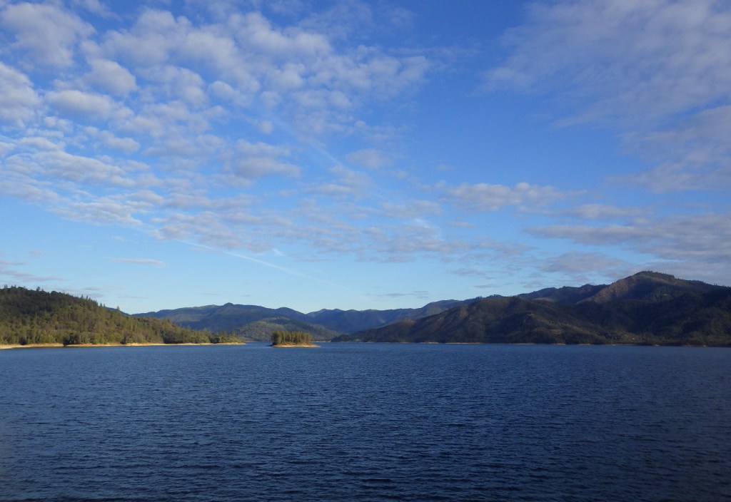
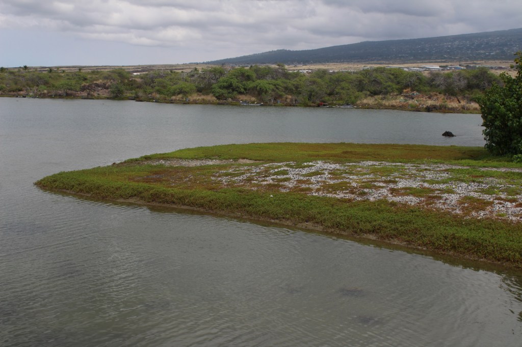
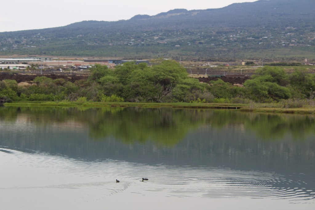
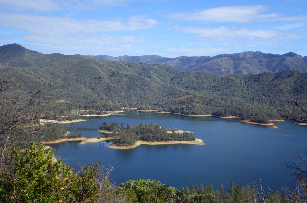
Whiskeytown Lake 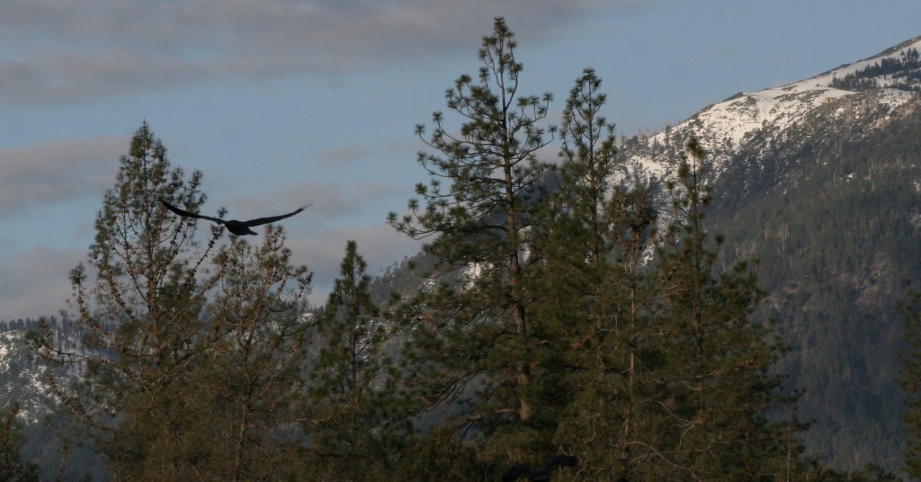
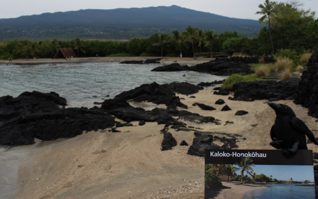
Raven about the park
Explore More – In what year was the Central Valley Project begun that years later formed the 3,200-acre Whiskeytown Lake?