Tag Archives: river

Kaniksu National Forest

Kaniksu National Forest

Idaho, Montana, Washington

Managed by U.S. Forest Service, Northern Region

1,833,582 acres (1,628,024 federal/ 205,558 other)

Website: https://www.fs.usda.gov/ipnf

Overview

In the mountainous tip of the Idaho pandhandle bordering Canada, Kaniksu National Forest stretches into three states.  Recreational opportunities surround three major rivers and two large natural bodies of water: Lake Pend Oreille and Priest Lake.  As you might imagine in a place this wet, waterfalls abound (see Must-Do Activity).  Coeur d’Alene National Forest is located on both sides of Interstate 90, east of the city of Coeur d’Alene, which was the French name given to the indigenous people.  In 1973, Kaniksu National Forest was joined with Coeur d’Alene and St. Joe National Forests to form Idaho Panhandle National Forests.

Highlights

Priest Lake, Northeast Peak Scenic Area, Lake Pend Oreille, Bottle Lake, Snow Creek Falls, Chimney Rock, Huff Lake, Canyon Creek Natural Area, Copper Falls, Gunsight Peak, Hahn Lake, Hanna Flats Nature Trail, Gold Hill Trail

Must-Do Activity

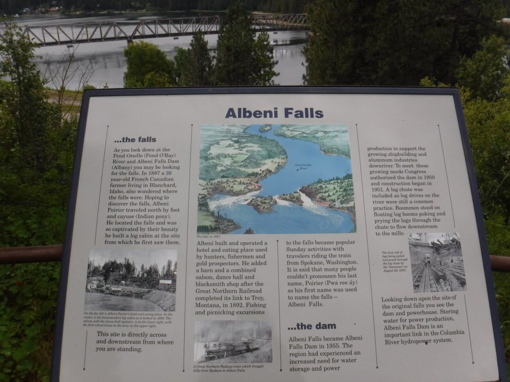
As you might imagine in a place this wet, waterfalls abound, including 160-foot Copper Falls, 150-foot Jeru Creek Falls, 75-foot Wellington Creek Falls, and 75-foot Char Falls.  South of Bonners Ferry, a forest road leads to Snow Creek Falls with an upper drop of 125 feet and a lower plunge of 75 feet.  Rapid Lightning Falls, Grouse Creek Falls, and Torelle Falls are also in Kaniksu National Forest.  If you want to see more waterfalls, Moyie Falls drops 140 feet in a series of cascades located just outside the National Forest and there is a roadside pullout at Albani Falls Dam on the Pend Oreille River.  A paved scenic byway follows the north shore of Lake Pend Oreille and the Clarks Fork River into Montana.

Best Trail

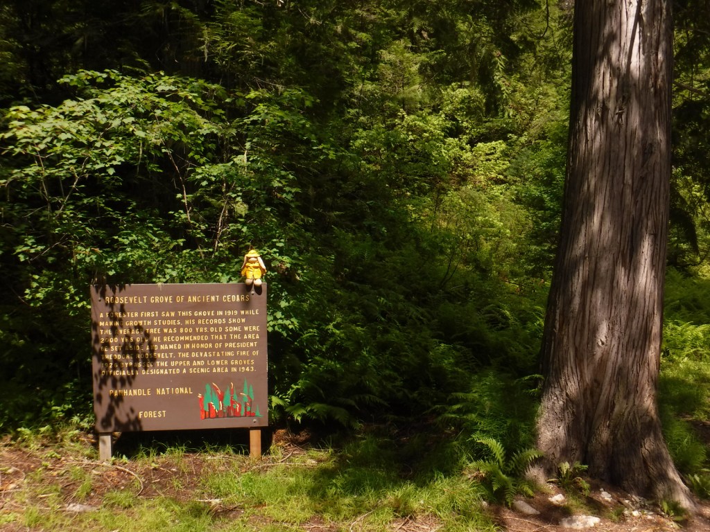
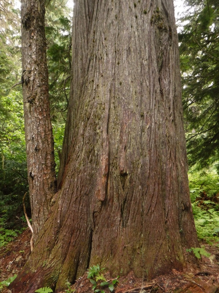
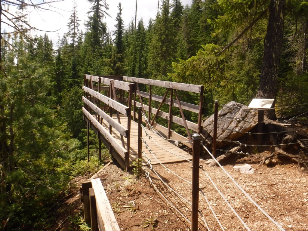
First discovered by a forester in 1919, the Roosevelt Grove of Ancient Cedars Scenic Area in Washington was named in honor of Theodore Roosevelt.  A 1926 fire killed three-quarters of the trees, leaving two smaller remnant patches.  Most of the western redcedars are around 800 years old, but some of them are estimated to be more than 2,000 years old.  Of course, since this is Kaniksu National Forest there is also a trail here to a waterfall, with a one-mile loop climbing 200 feet to an overlook.  From that point it is only a half-mile walk to the 20-acre Upper Grove.  The trail leaves from the colorfully-named Stagger Inn Trailhead, which gets its moniker from a 1926 fire camp located an exhausting 14-mile hike from the nearest road.

Watchable Wildlife

Kaniksu National Forest is home to mule deer, elk, moose, black bears, bobcats, coyotes, and mountain lions.  This close to Canada, it is also possible to find grizzly bears and gray wolves.  The Selkirk Mountains represent the sole place in the contiguous U.S. where you might see mountain caribou.  Common large birds include ospreys, golden eagles, bald eagles, wild turkeys, and ravens.  The National Forest borders Lake Pend Oreille and Priest Lake, plus it contains many of the rivers and creeks that feed them, which provide incredible fishing opportunities.

Photographic Opportunity

At the Roosevelt Grove of Ancient Cedars Scenic Area, a one-mile loop trail climbs to a vista above Lower Granite Falls where Upper Granite Falls may be viewed.

Peak Season

Summer

Fees

None

Road Conditions

A long dirt road (FR 302) leads to the Roosevelt Grove of Ancient Cedars Scenic Area in Washington (and continues west into neighboring Colville National Forest), but it is maintained in good condition for passenger vehicles, although not all forest roads are. 

Camping

There are numerous campgrounds on the west side of Priest Lake and around Lake Pend Oreille, plus dispersed campsites along the dirt roads near the Roosevelt Grove of Ancient Cedars Scenic Area.

Wilderness Areas

Cabinet Mountains Wilderness (also in Kootenai National Forest)

Salmo-Priest Wilderness (also in Colville National Forest)

Related Sites

Coeur d’Alene National Forest (Idaho)

Clearwater National Forest (Idaho)

Nez Perce National Historical Park (Idaho-Oregon-Montana)

Nearest National Park

Glacier

Conifer Tree Species

western redcedar, ponderosa pine, lodgepole pine, western white pine, whitebark pine, Douglas-fir, grand fir, subalpine fir, Engelmann spruce, western hemlock, mountain hemlock, western larch

Flowering Tree Species

Rocky Mountain maple, quaking aspen, Pacific dogwood, balsam poplar, dwarf birch, paper birch, Piper’s hawthorn, boxelder, Bebb willow, western mountain-ash, choke cherry, western serviceberry, red alder, mountain alder

Explore More – Kaniksu is derived from a Kalispel Indian word meaning what?

Learn more about this and the 154 other National Forests in our new guidebook Out in the Woods

We are a participant in the Amazon Services LLC Associates Program, an affiliate advertising program designed to provide a means for us to earn fees by linking to Amazon.com and affiliated sites.

Emmett Till and Mamie Till-Mobley National Monument         

Emmett Till and Mamie Till-Mobley National Monument         

Mississippi, Illinois

Managed by National Park Service

Established 2023

5.7 acres

Website: nps.gov/till

Overview

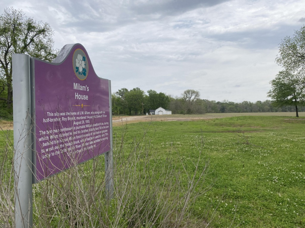
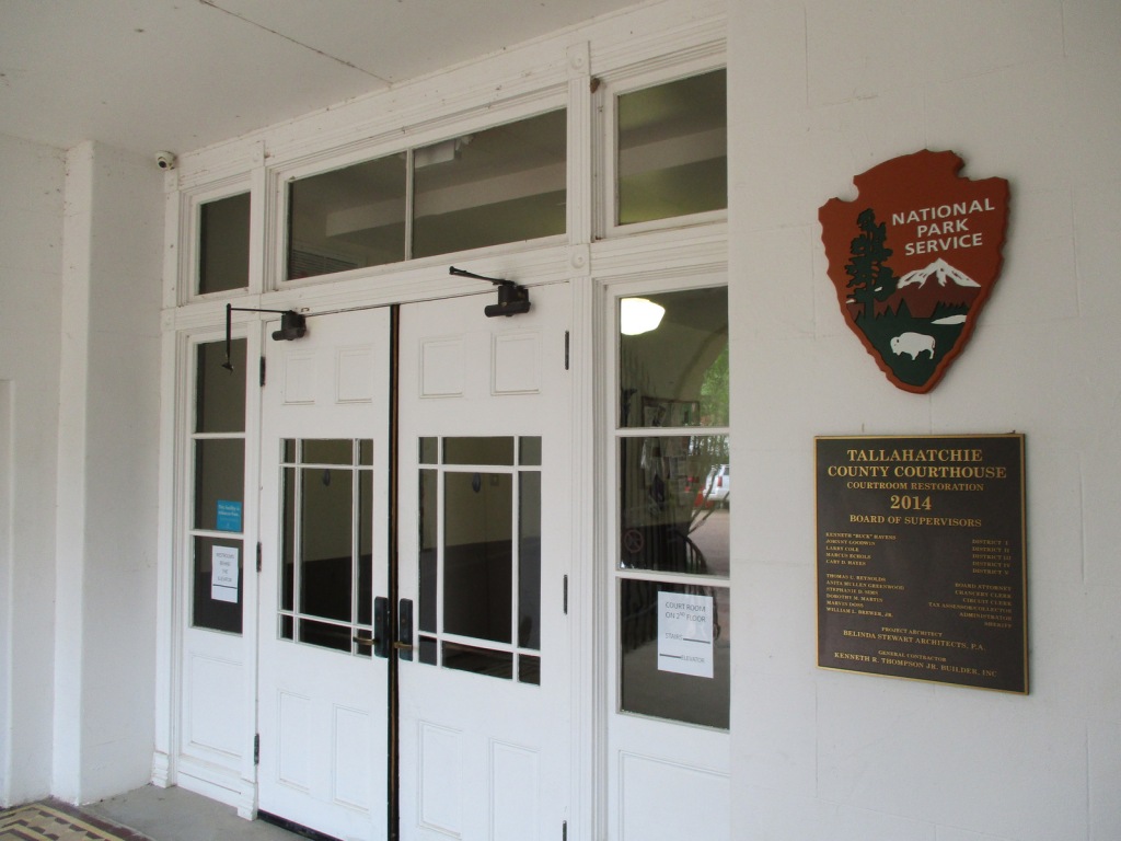
In 1955, 14-year-old Emmett “Bo” Till left Chicago to visit family in Mississippi, where he whistled at Carolyn Bryant, a white woman who ran the Bryant’s Grocery & Meat Market in the town of Money.  A few nights later on August 28, Carolyn’s husband (Roy Bryant) and his half-brother (John William “J.W.” Milam) abducted Emmett Till from his relatives’ house.  They took Emmett to Milam’s farm where he was tortured and killed according to their admission in Look magazine a year later.  After Till’s body was recovered at Graball Landing and sent back to Chicago for a funeral, a five-day trial took place in Sumner’s Tallahatchie County Courthouse where Bryant and Milam were acquitted of the crime.  It is probably not a coincidence that the National Monument was proclaimed by President Joe Biden following the release of the 2022 film Till.  Not open to the public but also part of the National Monument in Illinois, the Roberts Temple Church of God in Christ in the Chicago neighborhood of Bronzeville is where Mamie Till-Mobley insisted on an open-casket funeral service so the public could see the terrible results of the murder.  Historians believe the outcry over this lynching of a 14-year-old boy helped lead to the Civil Rights Act of 1957.

Highlights

Emmett Till Interpretive Center, Tallahatchie County Courthouse, Emmett Till Historic Intrepid Center (ETHIC), Black Bayou Bridge, Graball Landing, Greenwood statue, Bryant’s Grocery site

Must-Do Activity

Emmett Till Historic Intrepid Center (ETHIC) is located in a former cotton gin near the site of Emmett Till’s torture and murder on the farm of “J.W.” Milam in Glendora, Mississippi.  Established in 2005, there is an atmosphere to the museum that bears the full weight of history, heightened by the short introductory video showing Emmett Till’s family members’ recollections of the events of 1955.  Inside, there is a recreation of the Bryant’s Grocery & Meat Market storefront, as well as a coffin with the prop used in the film Till depicting Emmett’s shockingly disfigured head.  The museum also has artifacts highlighting the Mississippi Delta’s history with slavery, indigenous people, and blues music (specifically Sonny Boy Williamson II).  Although not part of the National Monument, we recommend a half-hour drive south to Money to see the ruins of Bryant’s Grocery & Meat Market with a restored gas station next door, part of the Mississippi Freedom Trail.

Best Trail

From ETHIC, drive or walk to the Black Bayou Bridge where Emmett “Bo” Till’s body was dumped into the Black Bayou tied to a heavy fan from the cotton gin.  We were grateful to get a personal tour from Tamita Davis who helps run ETHIC.  It is also a short drive down a dirt road to Graball Landing on the Tallahatchie River where there is a small interpretive sign explaining it as the site Till’s body was recovered.

Instagram-worthy Photo

The National Park Service operates out of the Emmett Till Interpretive Center, located in a strip mall opposite the Tallahatchie County Second District Courthouse in Sumner, Mississippi.  It has limited hours, but the courtroom where the September 1955 trial was held was unlocked when we visited on a Tuesday morning. 

Peak Season

Spring and fall

Hours

In Sumner, the Emmett Till Interpretive Center is open to the public Tuesday through Saturday 12-5, while the Tallahatchie County Courthouse is open to the public on Mondays when the center is closed.  In Glendora, Emmett Till Historic Intrepid Center (ETHIC) is open Monday through Saturday 10-5.

Fees

$12 per adult at ETHIC, $5 donation recommended at Emmett Till Interpretive Center

Road Conditions

Paved roads lead to the Tallahatchie County Courthouse in Sumner and Emmett Till Historic Intrepid Center (ETHIC) in Glendora, where a gravel road in good shape leads to Graball Landing.

Camping

To the south, Delta National Forest offers online reservations for campsites (September through March when the forest is not seasonally flooded).

Related Sites

Medgar and Myrlie Evers Home National Monument (Mississippi)

Birmingham Civil Rights National Monument (Alabama)

Freedom Riders National Monument (Alabama)

Pullman National Historical Park (Illinois)

Explore More – A statue of Emmett Till was added in 2022 to Greenwood, Mississippi’s Rail Spike Park, but what city in Colorado has his statue alongside one of Dr. Martin Luther King, Jr.?

Huron National Forest

Huron National Forest

Michigan

Managed by U.S. Forest Service, Eastern Region

694,056 acres (438,584 federal/ 255,472 other)

Website: https://www.fs.usda.gov/hmnf

Overview

Huron National Forest occupies a strip of land in eastern Michigan that follows the Au Sable National Wild and Scenic River to near its confluence with Lake Huron.  The National Forest was established in 1909 after logging in the area went into decline.  In 1945, it was administratively combined with the Manistee National Forest, which is on the western side of the state.  Two years later, the first Au Sable River Canoe Marathon was held when 46 teams entered, but only 15 teams finished the 120-mile-long race.  Held annually the last weekend of July, thousands of spectators watch the event, but if you are not there then at least stop by the Canoer’s Memorial.  In the winter, snowmobiling and cross-country skiing are popular activities in Huron National Forest.

Highlights

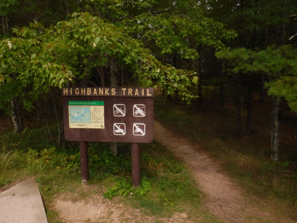
River Road Scenic Byway, Lumberman’s Monument, Canoer’s Memorial, Iargo Springs Interpretive Site, Cooke Dam Pond, Tuttle Marsh, Bull Gap ORV Trail, Hoist Lakes Foot Travel Area, Highbanks Trail, Eagle Run Cross-Country Ski and Hiking Trail

Must-Do Activity

The 22-mile-long River Road Scenic Byway follows the Au Sable National Wild and Scenic River with 18 stops at memorials, overlooks, dams, ponds, trailheads, and campgrounds.  The National Forest’s most developed area surrounds the Lumberman’s Monument, a 14-foot bronze statue dedicated in 1932.  The site also has a museum, gift shop, interactive visitor activities, hiking trails, and a campground.  Three other popular stops along the River Road Scenic Byway are the Iargo Springs Interpretive Site, Kiwanis Monument, and Foote Pond Overlook where visitors might spot a bald eagle.

Best Trail

A day use fee is charged to park at the two entrances to Hoist Lakes Foot Travel Area in the northern part of Huron National Forest.  We started at the west entrance, just 1.8 sandy miles off paved Aspen Alley Road, and hiked a half-mile to Carp Lake, which had a large beaver hut in its center.  There are many loop options in this forest that is being managed for old-growth conditions, which makes it ideal for cross-country skiing. 

Watchable Wildlife

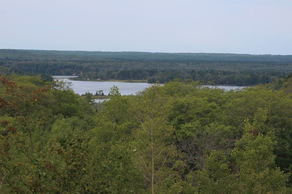
Huron National Forest manages its jack pine forests to provide summer nesting habitat for the formerly-endangered Kirtland’s warbler.  After being placed under protection of the Endangered Species Act when its population fell to 167 nesting pairs in 1974, it was delisted in 2019 after rebounding to 2,300 pairs.  Since dense, young stands of jack pine are unsuitable habitat, Kirtland’s warblers need old-growth forests, which are extremely susceptible to crown fires.  Other species prefer old-growth forests, too, like pileated woodpeckers, saw-whet owls, and pine martens.  We saw one of the rare Kirtland’s warblers at Au Sable Scenic River Highbanks Overlook, in addition to spotting a trumpeter swan, hairy woodpecker, raven, black squirrel, porcupine, and white-tailed deer.  The Au Sable River offers trout fishing for people and bald eagles.

Instagram-worthy Photo

We stopped at Au Sable Scenic River Highbanks Overlook and were able to photograph a Kirtland’s warbler.

Peak Season

Summer

Fees

A day use fee is charged to park at the two entrances to Hoist Lakes Foot Travel Area, or you can use the America the Beautiful pass.  Access to the Lumberman’s Monument is free.

Road Conditions

The unpaved roads are very sandy, but they were mostly flat without deep sand and easily drivable with a passenger vehicle in the summer.

Camping

There were signs prohibiting camping at the Hoist Lakes Foot Travel Area trailhead and Au Sable Scenic River Highbanks Overlook, and the dense forest offered no dispersed camping options that we noticed.  A developed campground is available at the Lumberman’s Monument, as well as at Algona Dam Pond, Loud Dam Pond, Cooke Dam Pond, and Foote Dam Pond.

Wilderness Areas

None

Related Sites

Hiawatha National Forest (Michigan)

Manistee National Forest (Michigan)

River Raisin National Battlefield Park (Michigan)

Nearest National Park

Isle Royale

Conifer Tree Species

jack pine, red pine, eastern white pine, eastern hemlock, balsam fir, eastern redcedar, northern white-cedar, tamarack

Flowering Tree Species

red maple, sugar maple, American elm, black ash, quaking aspen, paper birch, northern red oak, pin cherry, shadbush

Explore More – When the first 120-mile-long Au Sable River Canoe Marathon was held in 1947, who were the two paddlers that won with a time of 21 hours and 40 minutes?

Learn more about this and the 154 other National Forests in our new guidebook Out in the Woods

Helena National Forest

Helena National Forest

Montana

Managed by U.S. Forest Service, Northern Region

1,175,125 acres (984,558 federal/ 190,567 other)

Website: https://www.fs.usda.gov/hlcnf

Overview

Helena National Forest surrounds Montana’s capital city of Helena, encompassing several mountain ranges.  The Big Belt Mountains were the site of the of the 1949 Mann Gulch Fire, which killed 13 smokejumpers who were immortalized in Norman Maclean’s classic book Young Men and Fire (see our Top 10 Non-Fiction Books on National Forests).  There is a Mann Gulch Memorial located in Meriwether Campground.  Much of the National Forest is grassland and sagebrush, with conifer trees dominating the canyons and mountain slopes.  In the winter, snowmobiling, snowshoeing, and cross-country skiing are popular pastimes.

Highlights

Gates of the Mountains, Mann Gulch Memorial, Lewis and Clark National Historic Trail Interpretive Center, Gypsy Lake, Crow Creek Falls, Elkhorn Mountains, Blackfoot Canyon, Red Mountain, Refrigerator Canyon, Hanging Valley National Recreation Trail, Meriwether Canyon Trail

Must-Do Activity

Meriwether Lewis named the Gates of the Mountains on July 19, 1805, and today a two-hour jet boat tour on the Missouri River details the history of the Corps of Discovery, American Indian pictographs, the Mann Gulch Fire, and the collapse of Hauser Dam.  North of Helena on Interstate 15 in Great Falls is the Lewis and Clark National Historic Trail Interpretive Center, which is run by the U.S. Forest Service.

Best Trail

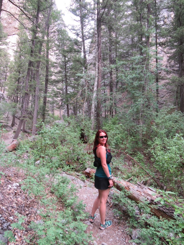
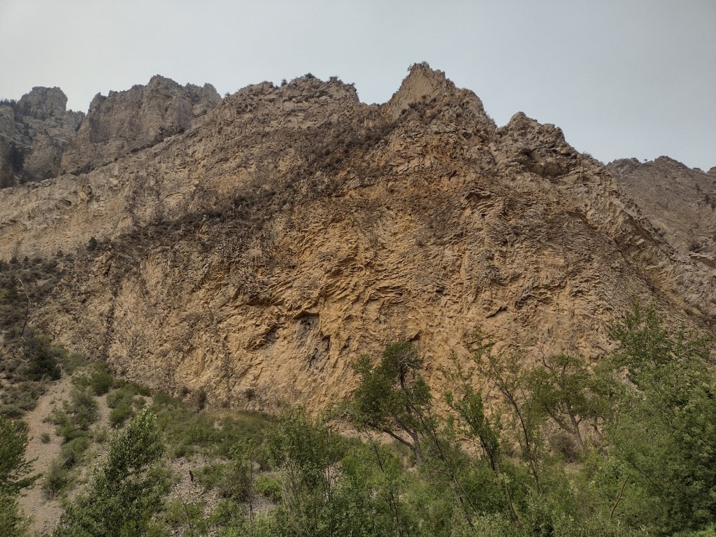
Refrigerator Canyon is less than ten feet wide at its narrowest point, where towering 200-foot limestone cliffs keep it cool and breezy throughout the summer.  The trailhead is accessed by driving 12 miles of washboard road that turns left off paved York Road just after crossing near the dam that forms Hauser Lake on the Missouri River.  It is a short quarter-mile hike to reach the canyon’s pinch point that was full of rock climbers during our visit.  The route then gets steeper, gaining 1,100 feet in two miles and providing excellent mountain views.  The trail eventually levels out and continues for another seven miles past Bear Prairie in the Gates of the Mountains Wilderness.  It can be connected to the Meriwether Canyon Trail, which dead ends at the Missouri River 18 miles from the Refrigerator Canyon Trailhead.

Watchable Wildlife

Grizzly bears can be found in the Scapegoat Wilderness in the northwest part of Helena National Forest where it borders Lewis and Clark National Forest (considered part of the massive Bob Marshall Wilderness complex connecting to Glacier National Park).  Other predators include black bears, gray wolves, wolverines, ermine, mountain lions, bobcats, and Canada lynx.  River otters and beavers can be found on the Missouri River.  Grazing ungulates commonly seen are elk, moose, mule deer, and pronghorn, in addition to bighorn sheep and mountain goats at higher elevations.  Trout streams and lakes provide fishing opportunities for humans, as well as bald eagles and ospreys.

Instagram-worthy Photo

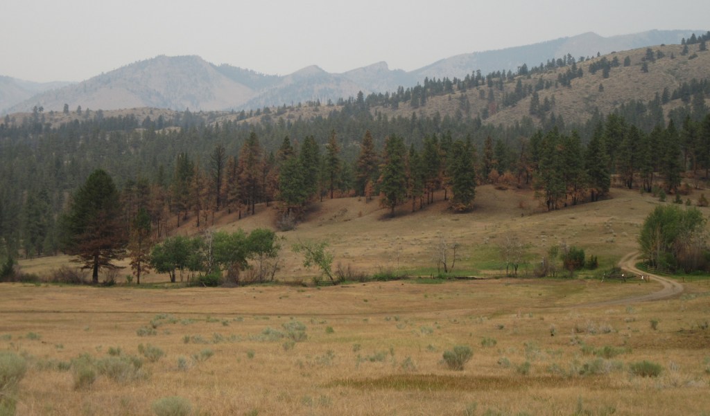
You might see rock climbers blocking narrow Refrigerator Canyon, but be sure to continue through on the steep trail for beautiful views of the Gates of the Mountains Wilderness.

Peak Season

Summer

Fees

None

Road Conditions

The washboard road back to Refrigerator Canyon was in good enough shape for our passenger vehicle.

Camping

A Mann Gulch Memorial is located in Meriwether Campground, plus there are numerous other campgrounds and dispersed campsites located throughout the National Forest’s network of unpaved roads.

Wilderness Areas

Gates of the Mountains Wilderness

Scapegoat Wilderness (also in Lewis and Clark National Forest)

Related Sites

Beaverhead National Forest (Montana)

Deerlodge National Forest (Montana)

Flathead National Forest (Montana)

Nearest National Park

Glacier

Conifer Tree Species

lodgepole pine, ponderosa pine, limber pine, whitebark pine, Rocky Mountain juniper, Douglas-fir, alpine larch, subalpine fir

Flowering Tree Species

quaking aspen, balsam poplar, narrowleaf cottonwood, Rocky Mountain maple, paper birch, willow, red-osier dogwood, choke cherry

Explore More – Before it changed its name to Helena in 1864, what was the name of the gold mining camp that became Montana’s state capital?

Learn more about this and the 154 other National Forests in our guidebook Out in the Woods

Gunnison National Forest

Gunnison National Forest

Colorado

Managed by U.S. Forest Service, Rocky Mountain Region

1,766,941 acres (1,671,941 federal/ 95,000 other)

Website: https://www.fs.usda.gov/gmug

Overview

Gunnison National Forest surrounds the town of Crested Butte, a prime destination for mountain bikers and winter sports enthusiasts.  It also shares mountainous borders and four of its eight designated Wilderness areas with neighboring Rio Grande, San Isabel, Uncompahgre, and White River National Forests.  It was originally called the Cochetopa Forest Reserve, created by President Teddy Roosevelt on June 13, 1905.  It is now co-managed with the Grand Mesa and Uncompahgre National Forests.

Highlights

Silver Thread Scenic Byway, Slumgullion Slide, Mt. Emmons Iron Bog, Taylor Park Reservoir, San Luis Peak, Fossil Ridge Recreation Area, Gothic Research Natural Area, Judd Falls, Alpine Tunnel, Mineral Creek Trail

Must-Do Activity

Much of the area was mined in the past, so there are many miles of four-wheel-drive roads to explore over mountain passes like Tomichi, Hancock, Taylor, Tincup, and Pearl Pass.  Near the Victorian-era town of Lake City, the famous Slumgullion Slide crosses Highway 149 where a massive earth flow created Lake San Cristobal about 700 years ago.  Visible from a pullout at Windy Point, a secondary flow of sludgy montmorillonite continues to move trees downslope to this day.

Best Trail

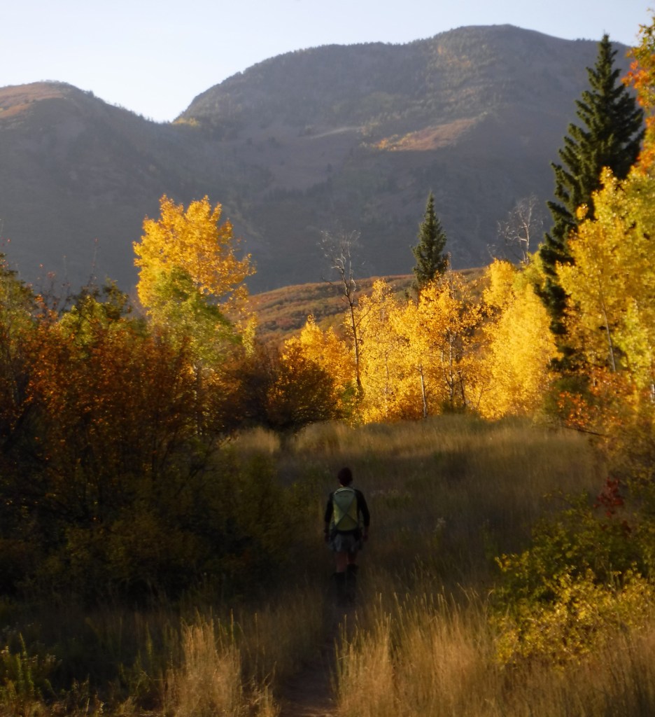
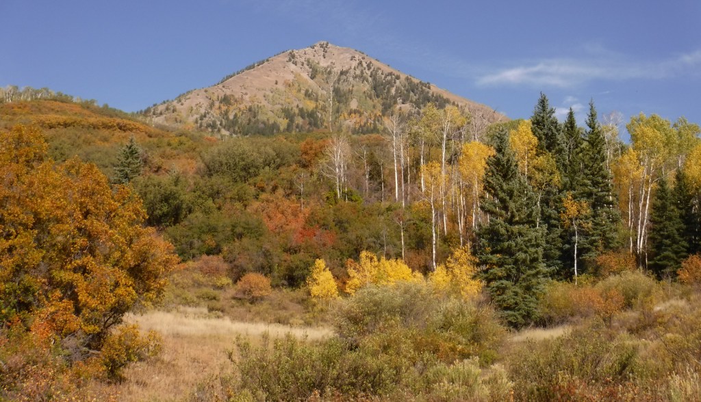
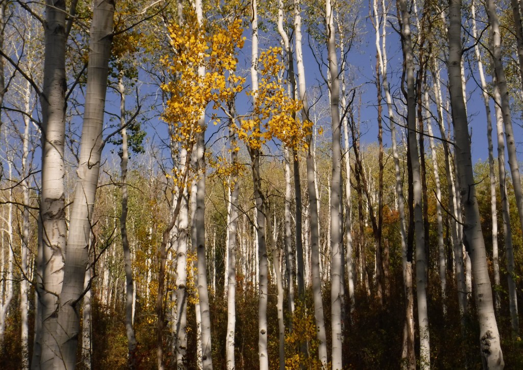
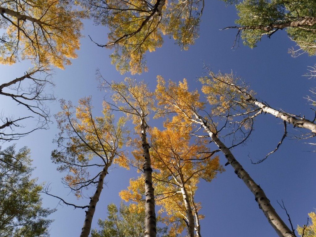
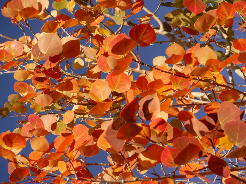
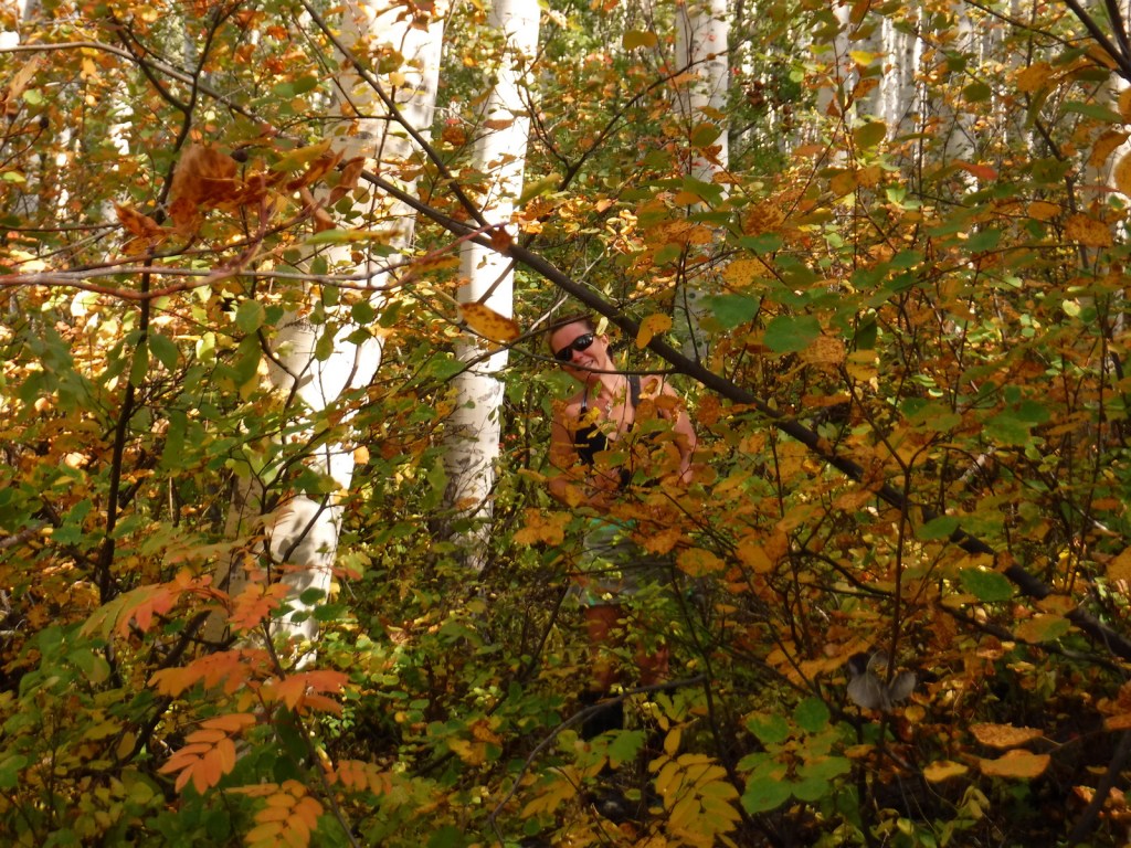
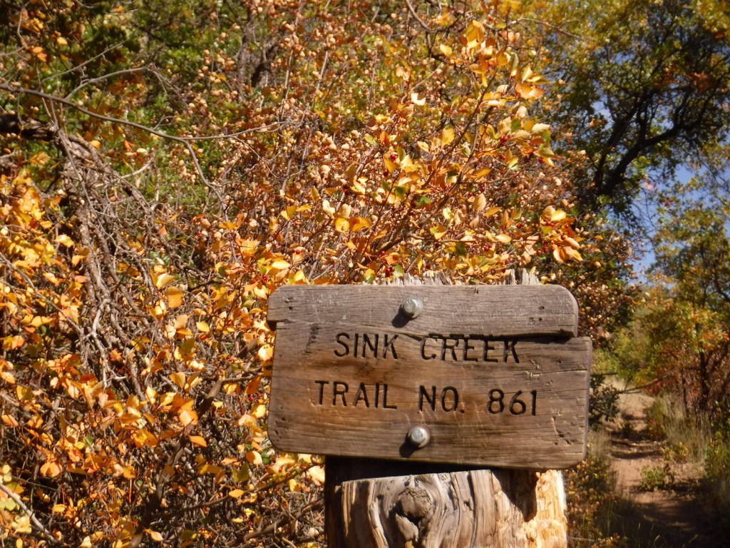
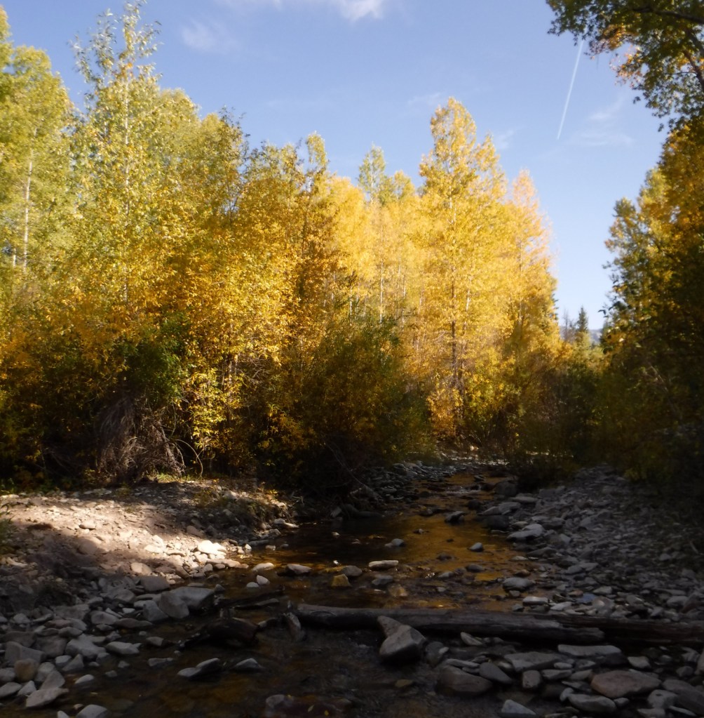
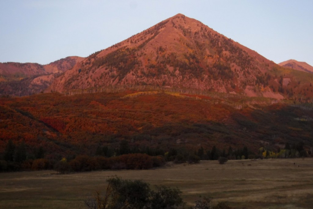
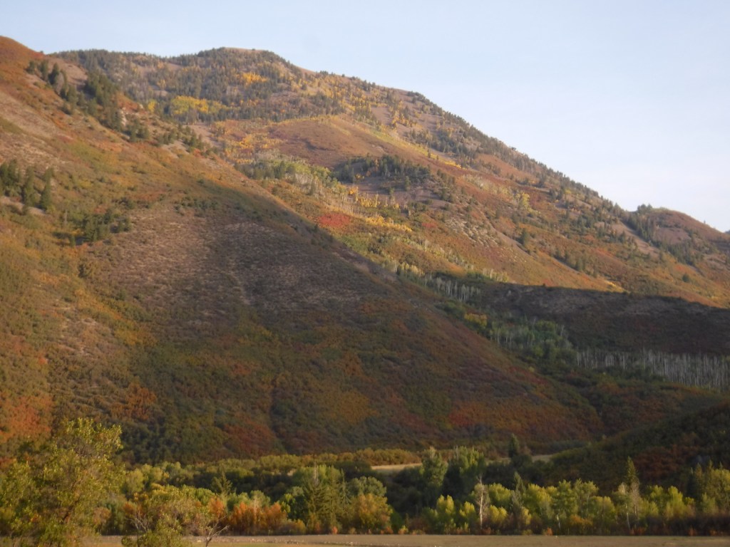
Just past the Bureau of Land Management (BLM) recreation site at Needle Rock, a gravel road enters Gunnison National Forest where two trailheads afford entrance into the West Elk Wilderness.  Throughline Trail heads northeast toward 12,719-foot Mt. Gunnison, but it can be connected with the Lone Pine Trail at the 3.5-mile point to form a loop with Sink Creek Trail (a total of 13 miles roundtrip).  We hiked a portion of Sink Creek Trail in late September when the aspen trees were changing colors and found a nice place for dispersed camping near the South Smith Fork Trailhead (high-clearance vehicle recommended).

Watchable Wildlife

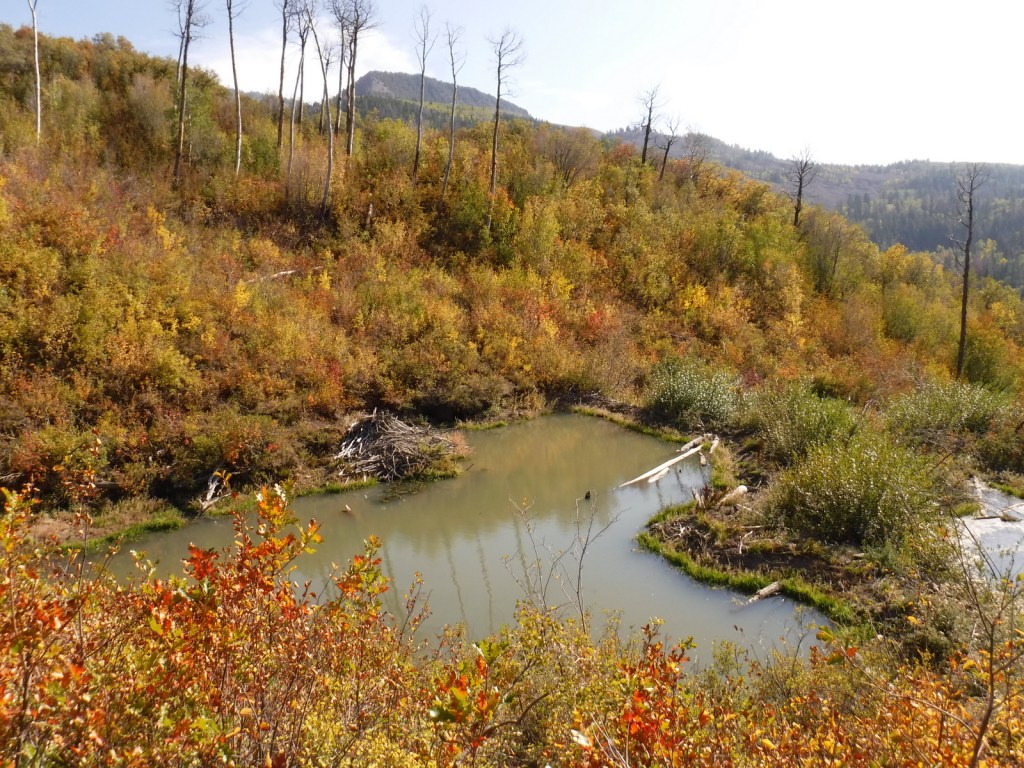
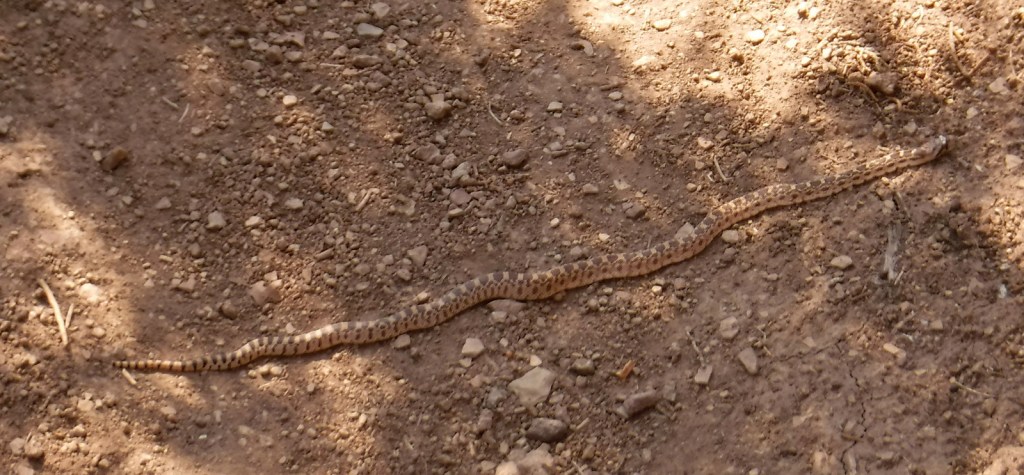
There are presumably elk in the mountainous West Elk Wilderness, as well as mule deer and bighorn sheep (a herd overwinters near the junction of the East and Taylor Rivers).  Mountain lions, black bears, and pine martens also inhabit Gunnison National Forest.  On our hikes we came across a gopher snake and a dam built by a beaver.  Watch the skies for raptors like golden eagles, red-tailed hawks, and peregrine falcons.

Instagram-worthy Photo

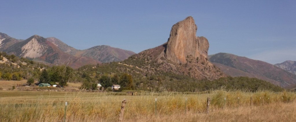
A good gravel road east of Crawford leads into Gunnison National Forest past Needle Rock Outstanding Natural Area, run by the Bureau of Land Management (BLM).  The landmark is a 28-million-year-old volcanic plug which can be explored on a steep trail that does not completely circle it because of private land.

Peak Season

Summer and fall

Fees

None

Road Conditions

Several paved highways crisscross the National Forest, including a stretch of the Silver Thread Scenic Byway.  Not every back road requires a high-clearance vehicle, as good graded roads go over Kebler Pass, Ohio Pass, and Cumberland Pass into the town of Pitkin.  Popular four-wheel-drive routes include Pearl Pass Road, Old Monarch Pass Road, and Schofield Pass north into Crystal Canyon. 

Camping

There are many nice campgrounds in Gunnison National Forest, including Slumgullion Campground at 11,200 feet, Lost Lake Campground next to a wildflower meadow, and Dorchester Campground on the road to 11,928-foot Taylor Pass (accessible by four-wheel-drive vehicles).  Dispersed camping is also allowed throughout the National Forest; we found a nice spot near the South Smith Fork Trailhead (high-clearance vehicle recommended).

Wilderness Areas

Collegiate Peaks Wilderness Area (also in San Isabel National Forest)

Fossil Ridge Wilderness

La Garita Wilderness (also in Rio Grande National Forest)

Maroon Bells-Snowmass Wilderness (also in White River and San Isabel National Forests)

Powderhorn Wilderness (also on BLM land)

Raggeds Wilderness (also in White River National Forest)

West Elk Wilderness

Uncompahgre Wilderness (also in Uncompahgre National Forest)

Related Sites

Arapaho National Forest (Colorado)

Colorado National Monument (Colorado)

Grand Mesa National Forest (Colorado)

Nearest National Park
Black Canyon of the Gunnison

Conifer Tree Species

Engelmann spruce, subalpine fir, Douglas-fir, ponderosa pine, lodgepole pine, two-needle pinyon pine, Rocky Mountain juniper

Flowering Tree Species

Gambel oak, quaking aspen, Utah serviceberry, red elderberry, sagebrush

Explore More – Who was John Gunnison, the Gunnison River’s namesake?

Learn more about this and the 154 other National Forests in our new guidebook Out in the Woods