Helena National Forest
Montana
Managed by U.S. Forest Service, Northern Region
1,175,125 acres (984,558 federal/ 190,567 other)
Website: https://www.fs.usda.gov/hlcnf
Overview
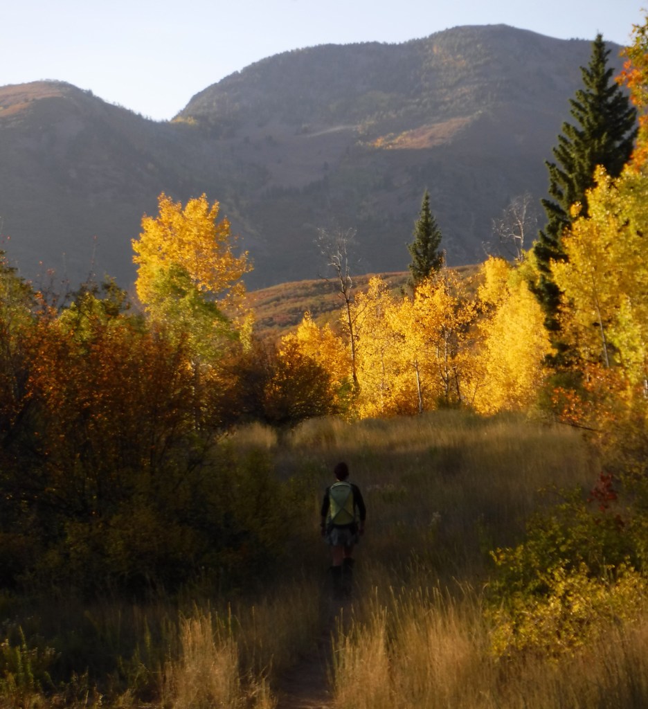
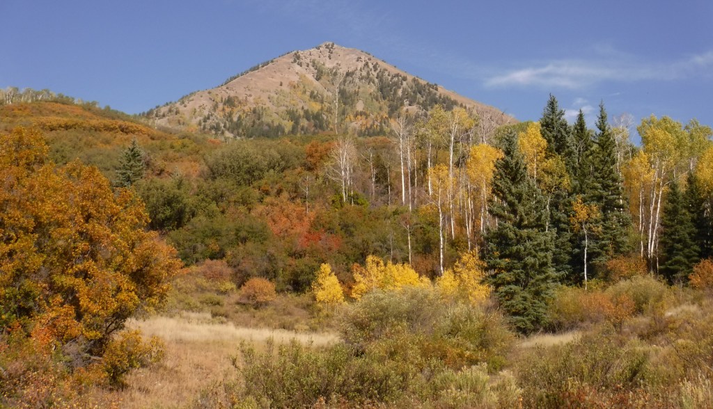
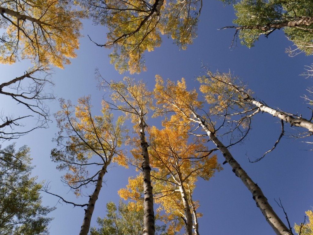
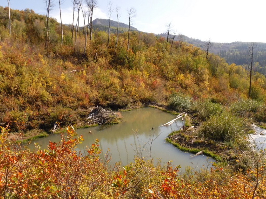
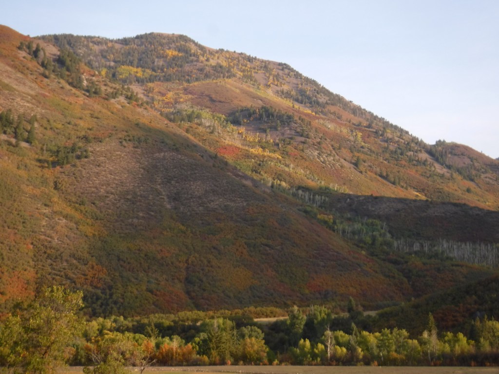
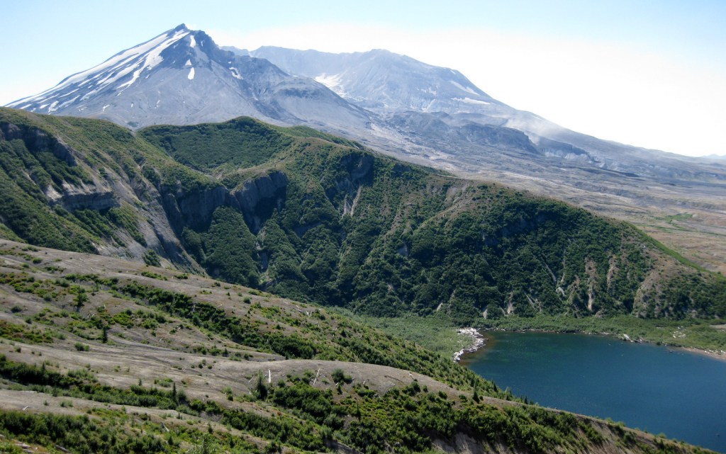
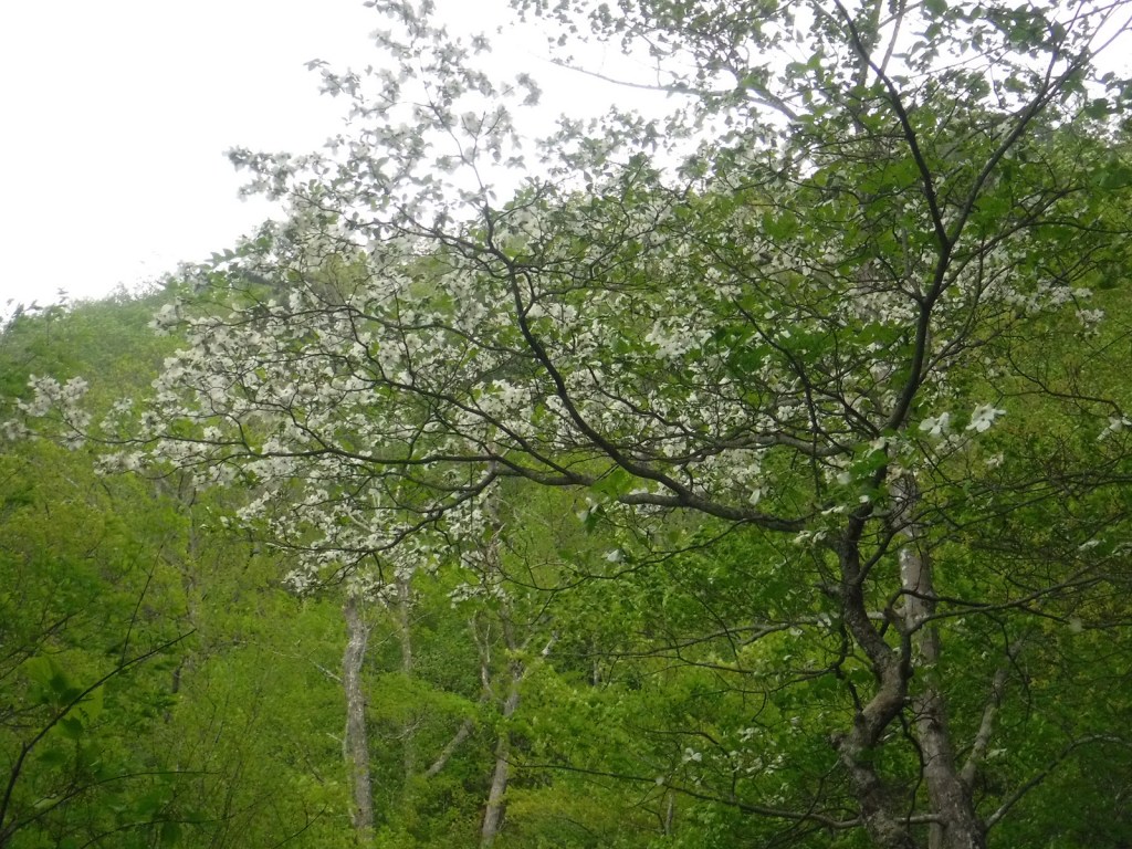
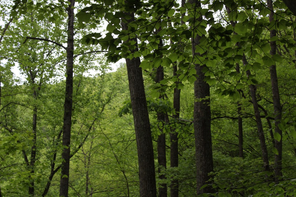
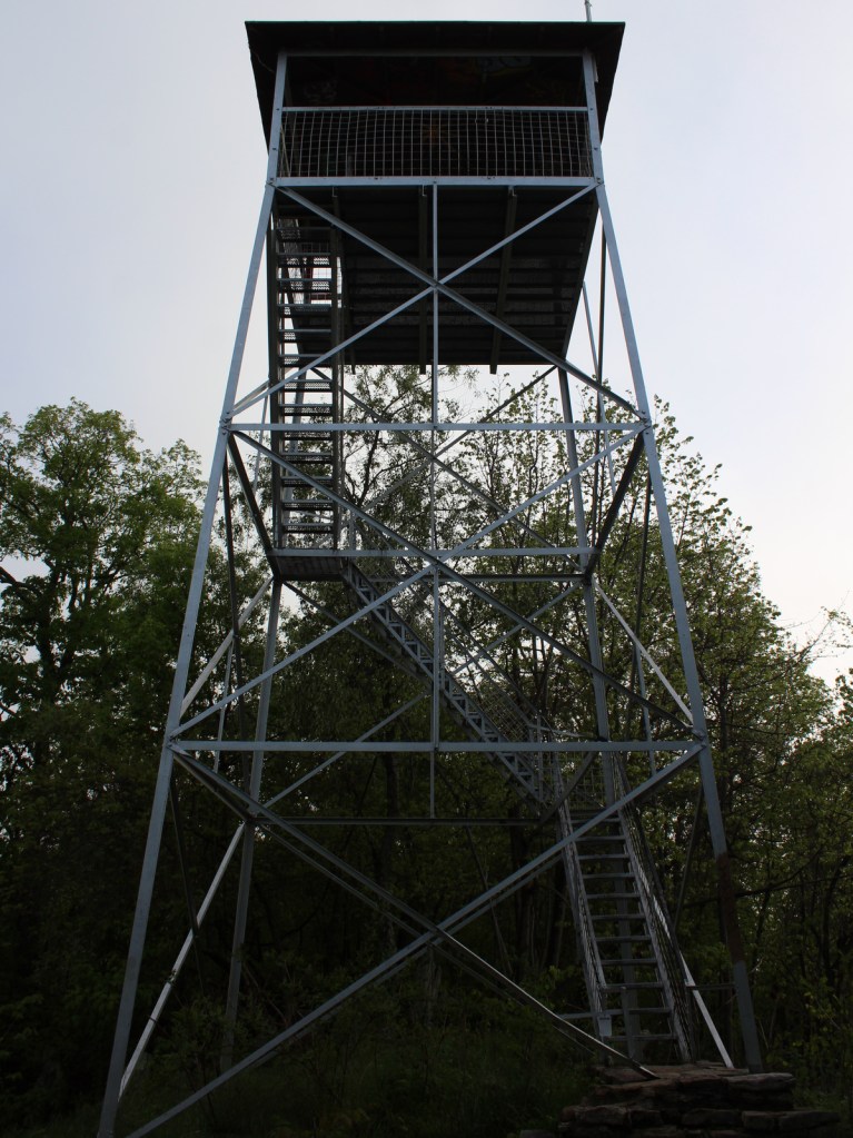
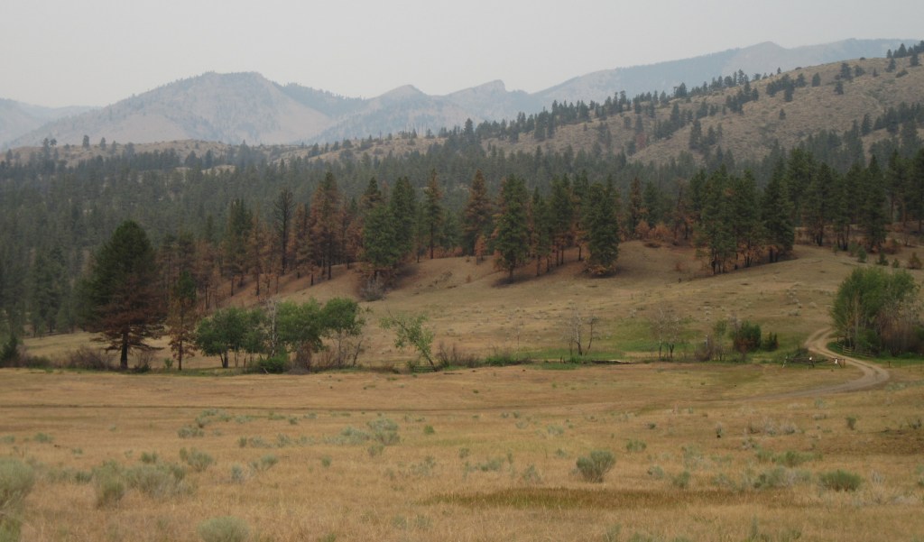
Helena National Forest surrounds Montana’s capital city of Helena, encompassing several mountain ranges. The Big Belt Mountains were the site of the of the 1949 Mann Gulch Fire, which killed 13 smokejumpers who were immortalized in Norman Maclean’s classic book Young Men and Fire (see our Top 10 Non-Fiction Books on National Forests). There is a Mann Gulch Memorial located in Meriwether Campground. Much of the National Forest is grassland and sagebrush, with conifer trees dominating the canyons and mountain slopes. In the winter, snowmobiling, snowshoeing, and cross-country skiing are popular pastimes.

Highlights
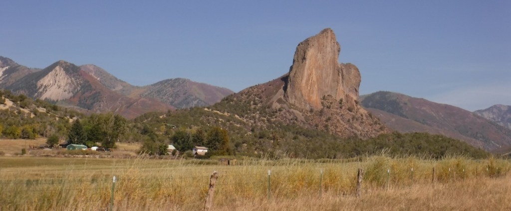
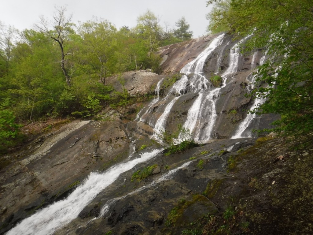
Gates of the Mountains, Mann Gulch Memorial, Lewis and Clark National Historic Trail Interpretive Center, Gypsy Lake, Crow Creek Falls, Elkhorn Mountains, Blackfoot Canyon, Red Mountain, Refrigerator Canyon, Hanging Valley National Recreation Trail, Meriwether Canyon Trail
Must-Do Activity
Meriwether Lewis named the Gates of the Mountains on July 19, 1805, and today a two-hour jet boat tour on the Missouri River details the history of the Corps of Discovery, American Indian pictographs, the Mann Gulch Fire, and the collapse of Hauser Dam. North of Helena on Interstate 15 in Great Falls is the Lewis and Clark National Historic Trail Interpretive Center, which is run by the U.S. Forest Service.
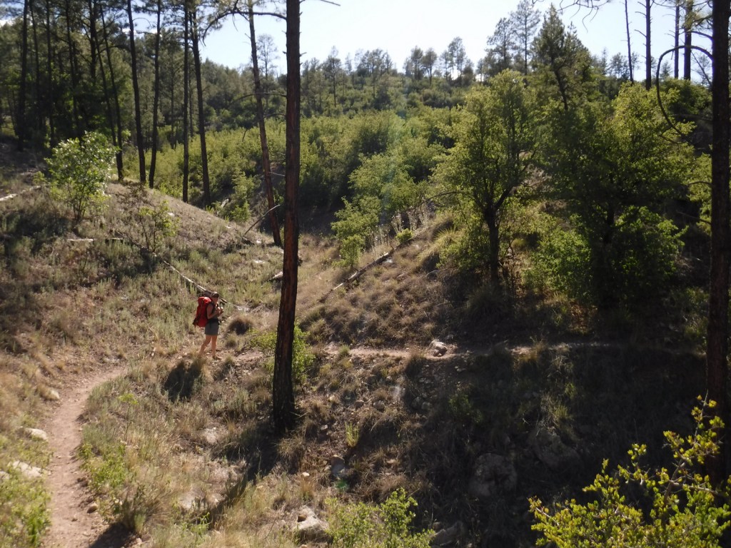
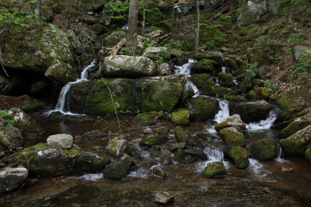
Best Trail
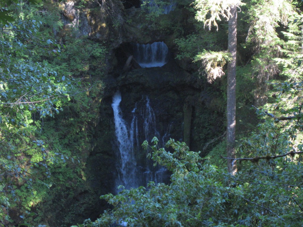
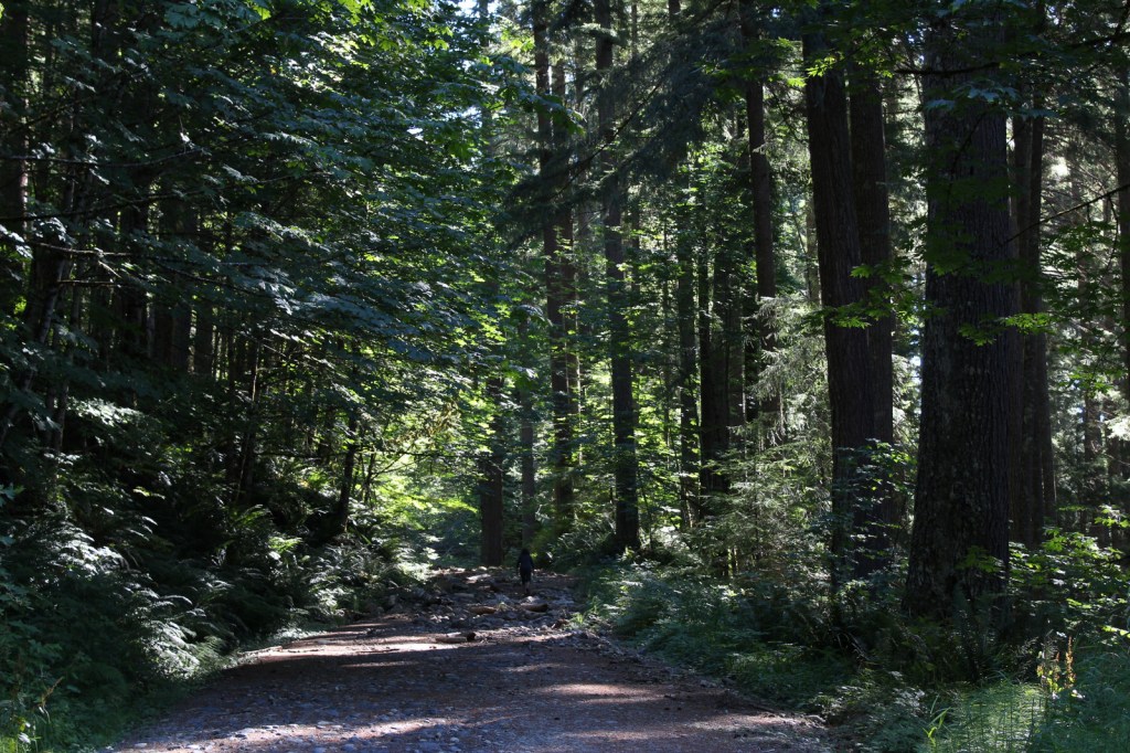
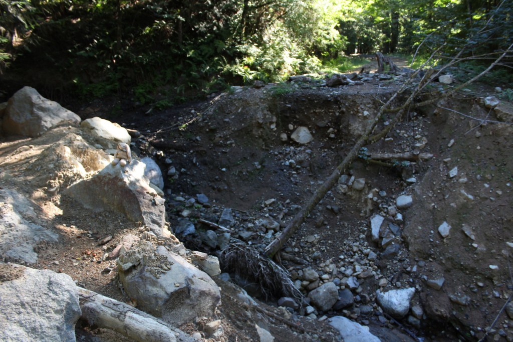
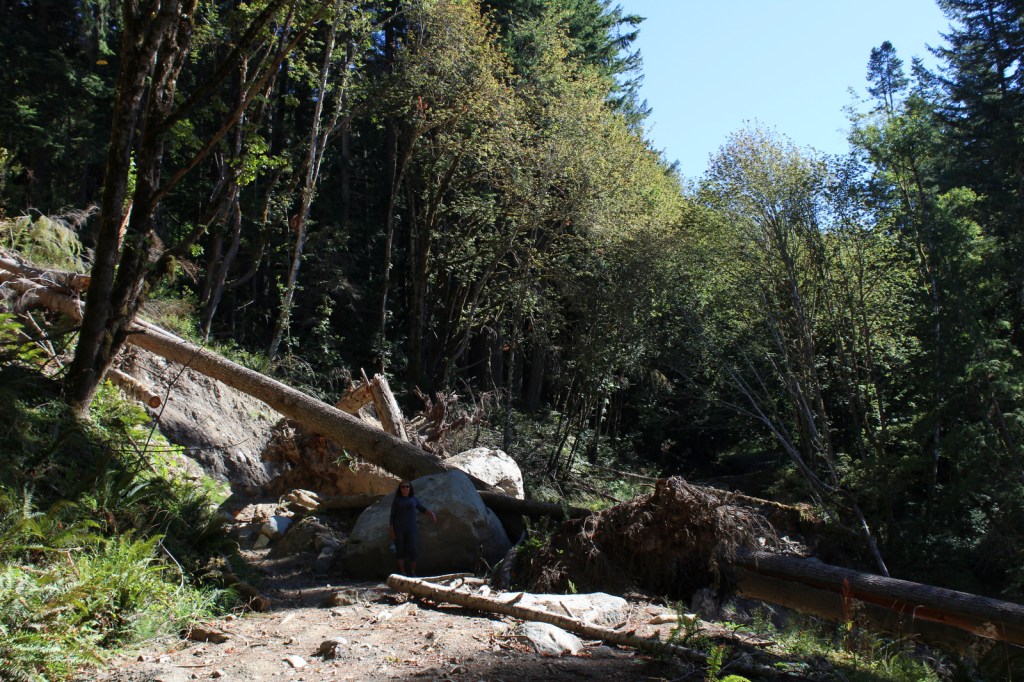
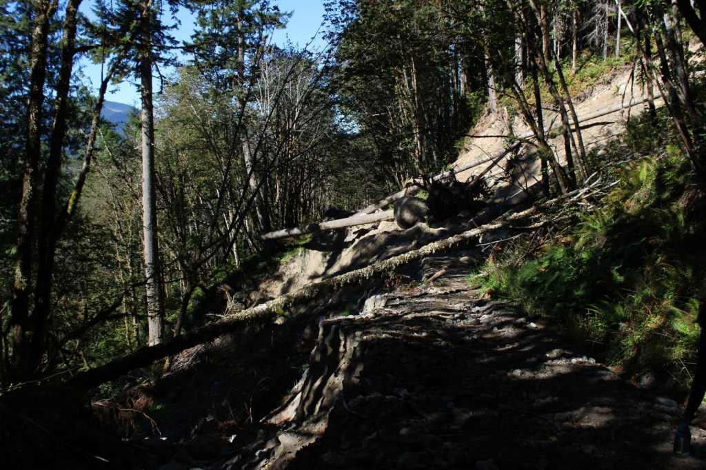
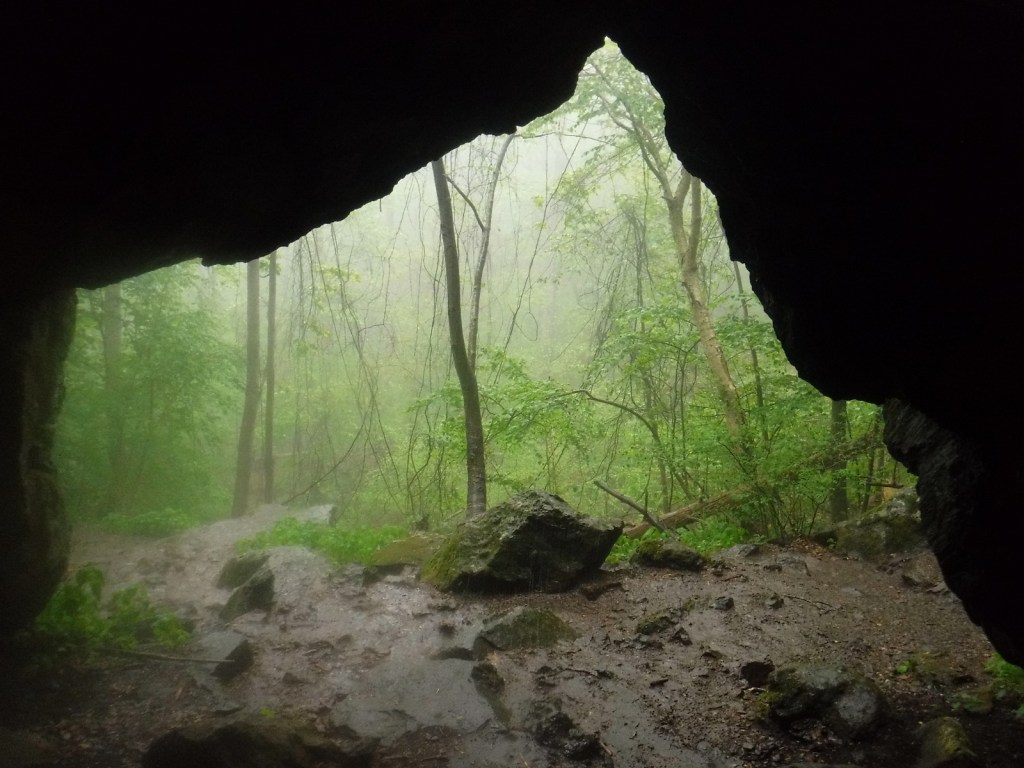
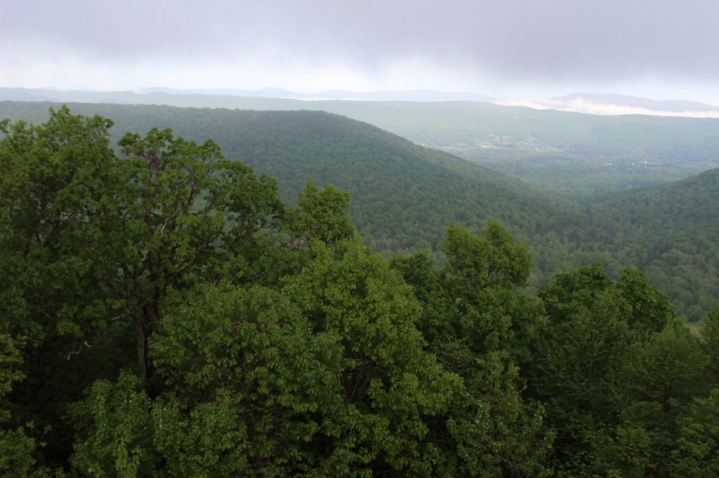
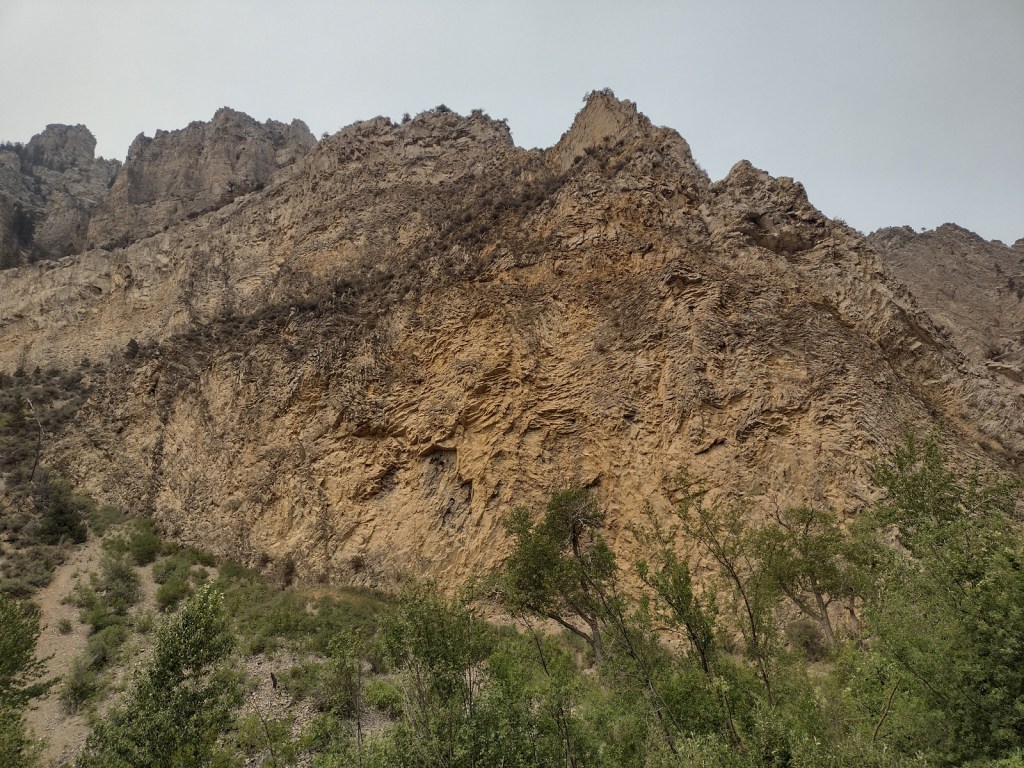
Refrigerator Canyon is less than ten feet wide at its narrowest point, where towering 200-foot limestone cliffs keep it cool and breezy throughout the summer. The trailhead is accessed by driving 12 miles of washboard road that turns left off paved York Road just after crossing near the dam that forms Hauser Lake on the Missouri River. It is a short quarter-mile hike to reach the canyon’s pinch point that was full of rock climbers during our visit. The route then gets steeper, gaining 1,100 feet in two miles and providing excellent mountain views. The trail eventually levels out and continues for another seven miles past Bear Prairie in the Gates of the Mountains Wilderness. It can be connected to the Meriwether Canyon Trail, which dead ends at the Missouri River 18 miles from the Refrigerator Canyon Trailhead.
Watchable Wildlife
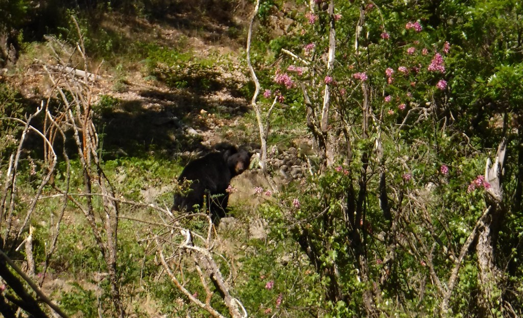
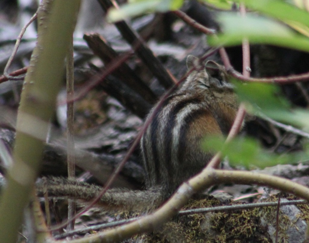
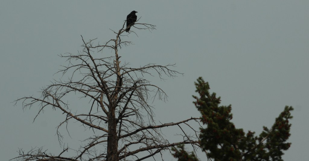
Grizzly bears can be found in the Scapegoat Wilderness in the northwest part of Helena National Forest where it borders Lewis and Clark National Forest (considered part of the massive Bob Marshall Wilderness complex connecting to Glacier National Park). Other predators include black bears, gray wolves, wolverines, ermine, mountain lions, bobcats, and Canada lynx. River otters and beavers can be found on the Missouri River. Grazing ungulates commonly seen are elk, moose, mule deer, and pronghorn, in addition to bighorn sheep and mountain goats at higher elevations. Trout streams and lakes provide fishing opportunities for humans, as well as bald eagles and ospreys.
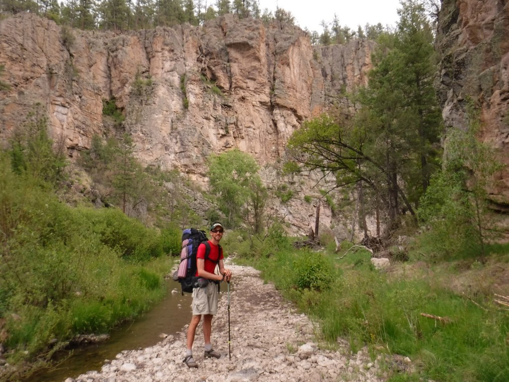
Instagram-worthy Photo
You might see rock climbers blocking narrow Refrigerator Canyon, but be sure to continue through on the steep trail for beautiful views of the Gates of the Mountains Wilderness.

Peak Season
Summer
Fees
None
Road Conditions
The washboard road back to Refrigerator Canyon was in good enough shape for our passenger vehicle.
Camping
A Mann Gulch Memorial is located in Meriwether Campground, plus there are numerous other campgrounds and dispersed campsites located throughout the National Forest’s network of unpaved roads.
Wilderness Areas
Gates of the Mountains Wilderness
Scapegoat Wilderness (also in Lewis and Clark National Forest)
Related Sites
Beaverhead National Forest (Montana)
Deerlodge National Forest (Montana)
Flathead National Forest (Montana)
Nearest National Park


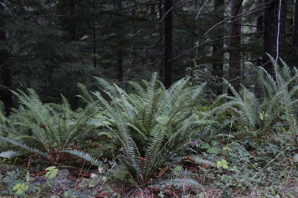
lodgepole pine, ponderosa pine, limber pine, whitebark pine, Rocky Mountain juniper, Douglas-fir, alpine larch, subalpine fir
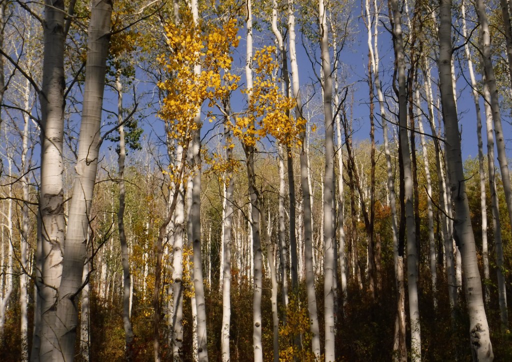
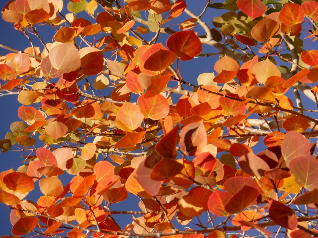
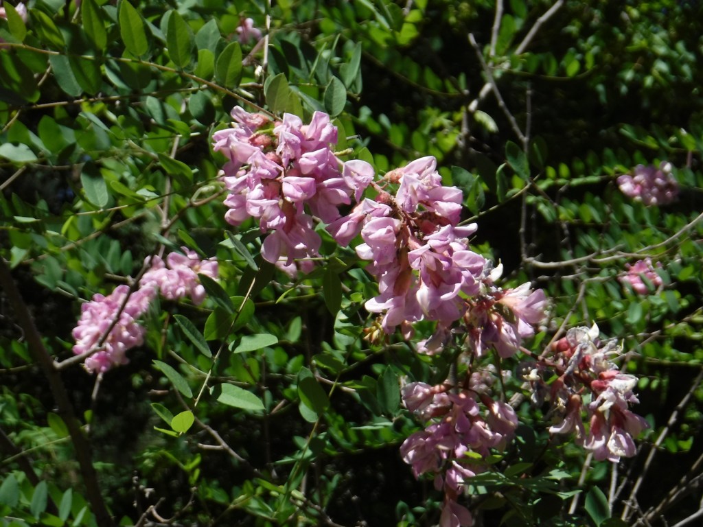
quaking aspen, balsam poplar, narrowleaf cottonwood, Rocky Mountain maple, paper birch, willow, red-osier dogwood, choke cherry
Explore More – Before it changed its name to Helena in 1864, what was the name of the gold mining camp that became Montana’s state capital?

Learn more about this and the 154 other National Forests in our guidebook Out in the Woods