Tag Archives: river

Clearwater National Forest

Clearwater National Forest

Idaho

Managed by U.S. Forest Service, Northern Region

1,722,132 acres (1,679,952 federal/ 42,180 other)

Website: https://www.fs.usda.gov/nezperceclearwater

Overview

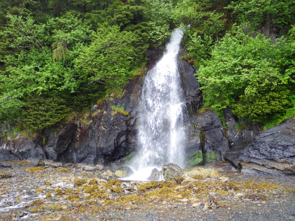
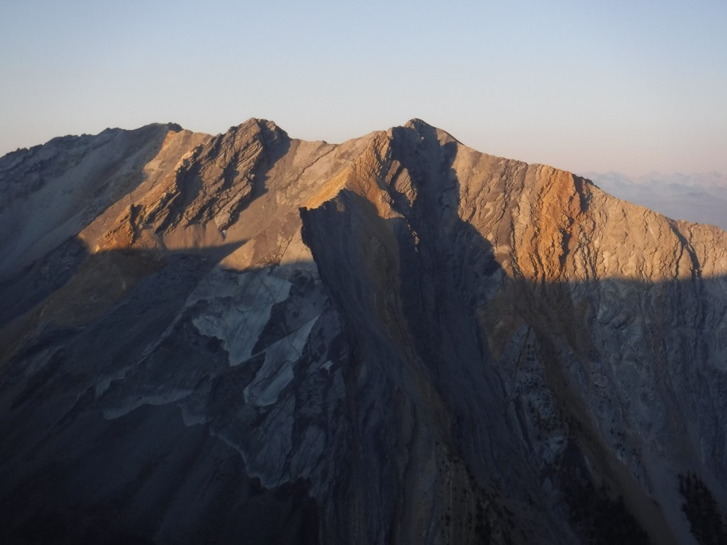
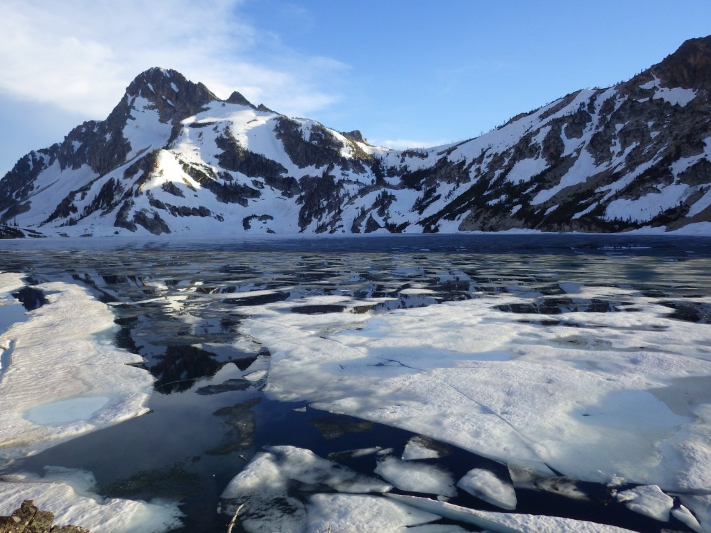
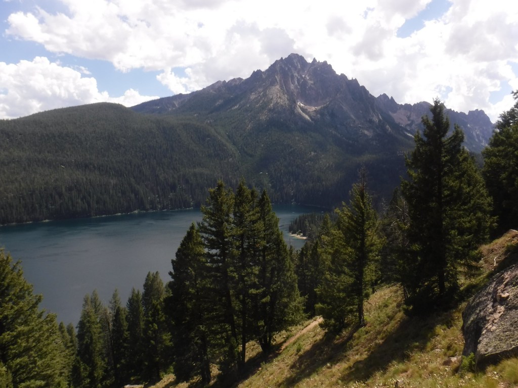
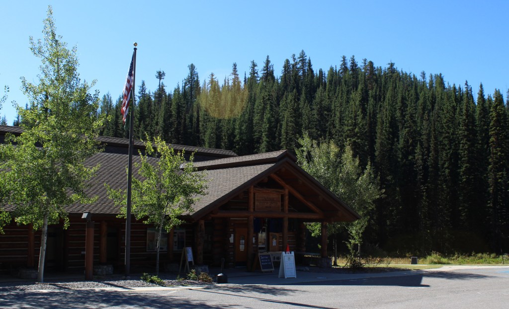
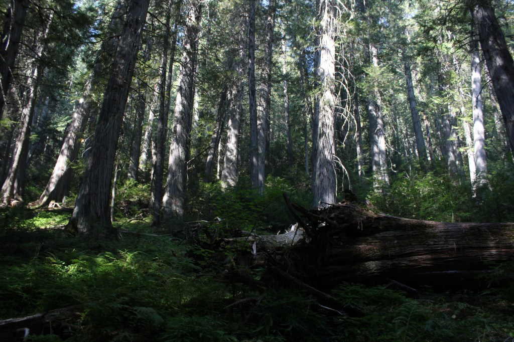
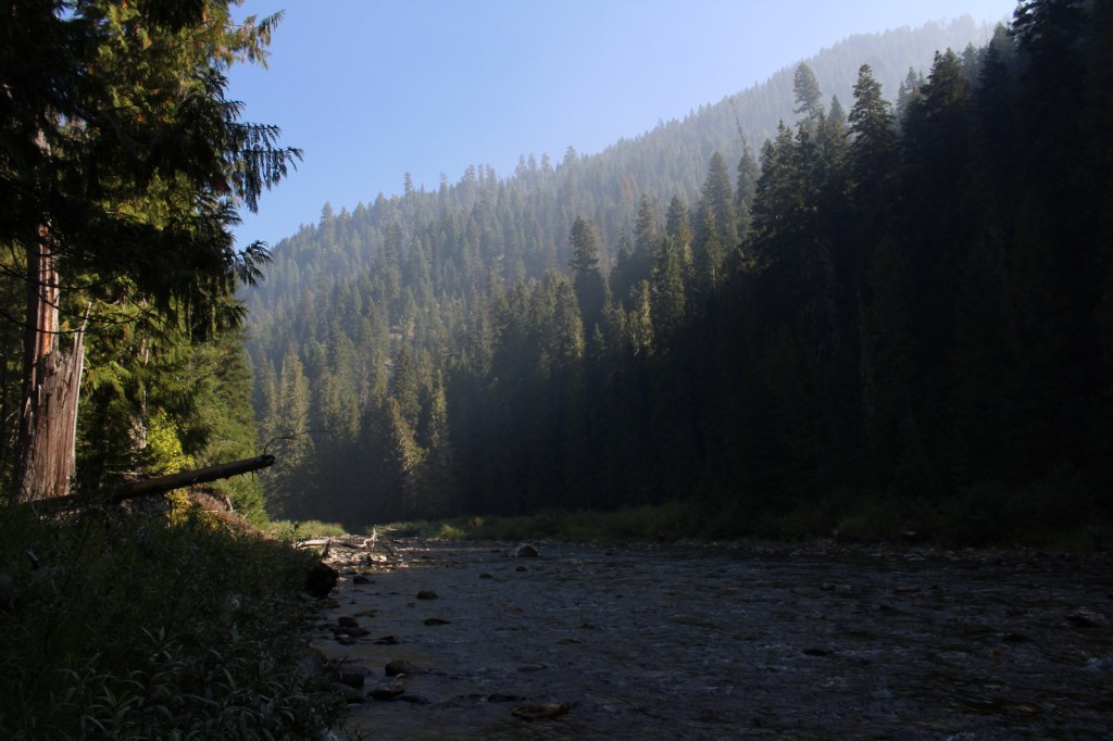
In central Idaho, Clearwater National Forest was established in 1908 and administratively combined with Nez Perce National Forest in 2012.  A great place to start is the Forest Service visitor center at Lolo Pass on the Idaho-Montana border southwest of Missoula, where you will learn about the Corps of Discovery’s visit in 1805.  Elsewhere, the North Fork of the Clearwater River ends in the Dworshak Reservoir where a separate section of the National Forest can be explored on the White Pine Scenic Byway and Elk River Backcountry Byway.  The latter accesses Giant Cedar Grove and Elk Creek Falls, which is three separate waterfalls totaling a 140-foot drop.

Highlights

White Pine Scenic Byway, Lolo Pass, Lolo Motorway, DeVoto Memorial Grove, Colgate Licks, Jerry Johnson Hot Springs, Shoestring Falls, Elk Creek Falls, Giant Cedar Grove, Aquarius Natural Area, Nez Perce (Nee-Me-Poo) National Historic Trail, and Lewis and Clark National Historic Trail, Down River Trail, Beason Meadows National Recreation Trail

Must-Do Activity

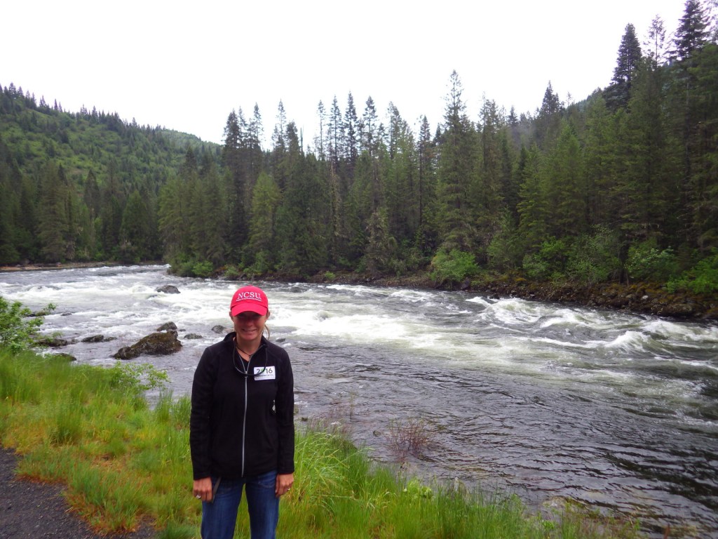
Most of the recreational activity in Clearwater National Forest occurs along the Northwest Passage Scenic Byway (Highway 12), which runs west from the Lolo Pass visitor center along the Lochsa National Wild and Scenic River.  The legendary dirt road called the Lolo Motorway (see below) can be accessed from several points along this route.  Both the famous Jerry Johnson Hot Springs and the smaller Weir Creek Hot Springs are reachable from roadside trailheads.  Also along Highway 12, short trails lead through the DeVoto Memorial Grove of western redcedars and Colgate Licks mineral springs.

Best Trail

From parking areas on both sides of Highway 12, it is only about a one-mile easy walk to Jerry Johnson Hot Springs where multiple pools can be found creekside and uphill at the source.  The trail continues along Warm Springs Creek into the Selway-Bitterroot Wilderness and beyond. 

Watchable Wildlife

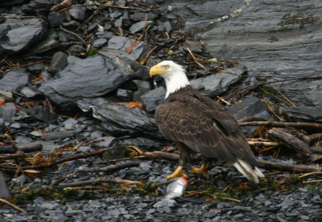
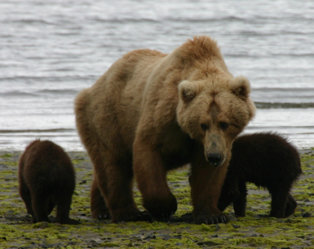
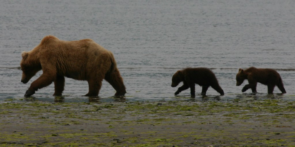
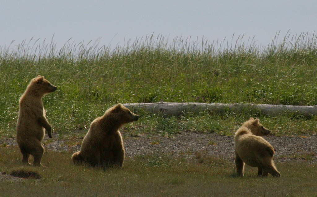
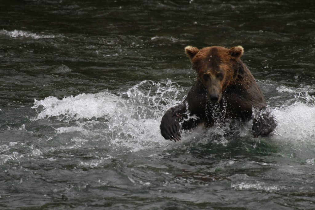
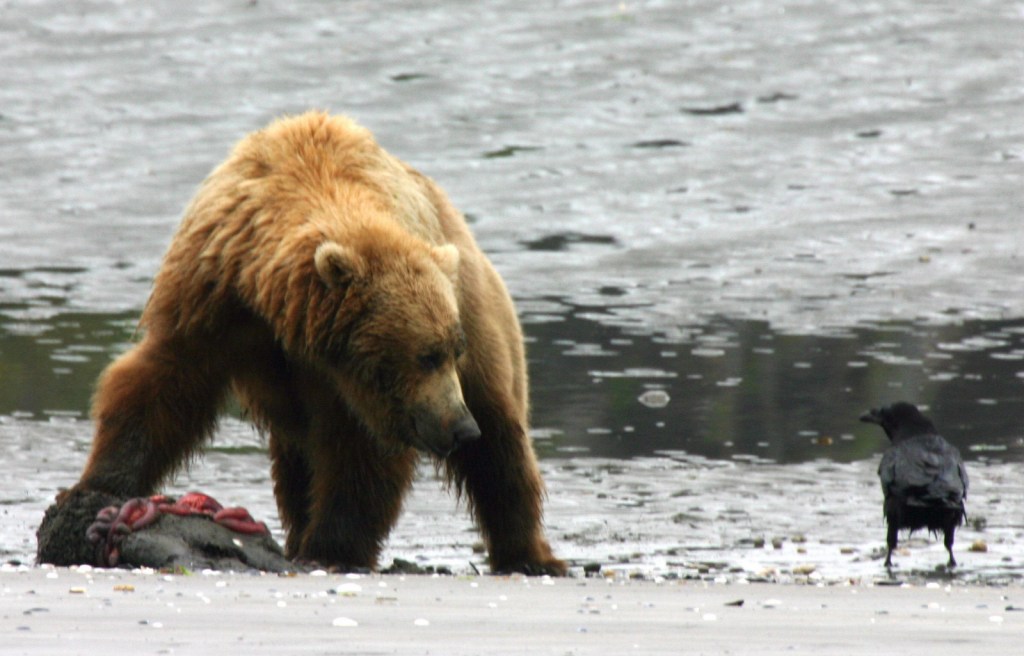
The North Fork of the Clearwater and the Lochsa Rivers provide habitat for fish and water-loving animals like moose, raccoons, river otters, muskrats, beavers, fishers, ospreys, and bald eagles.  The mountains are home to elk, mule deer, mountain goats, black bears, martens, red foxes, gray wolves, and mountain lions.

Instagram-worthy Photo

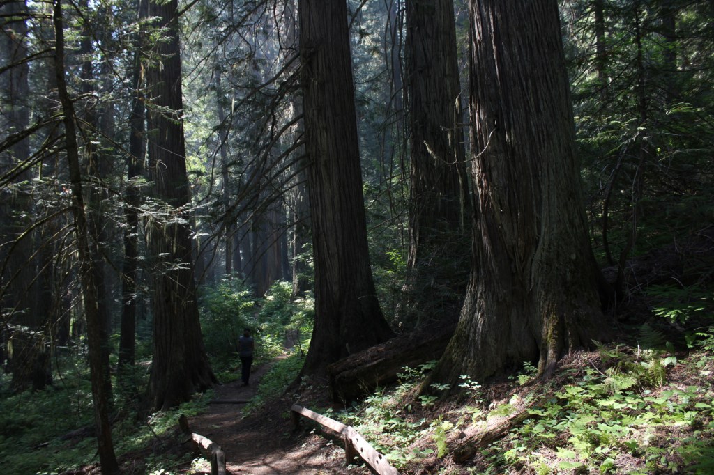
A short trail leads through the DeVoto Memorial Grove of western redcedars, named for author Bernard DeVoto.

Peak Season

Summer

Fees

None

Road Conditions

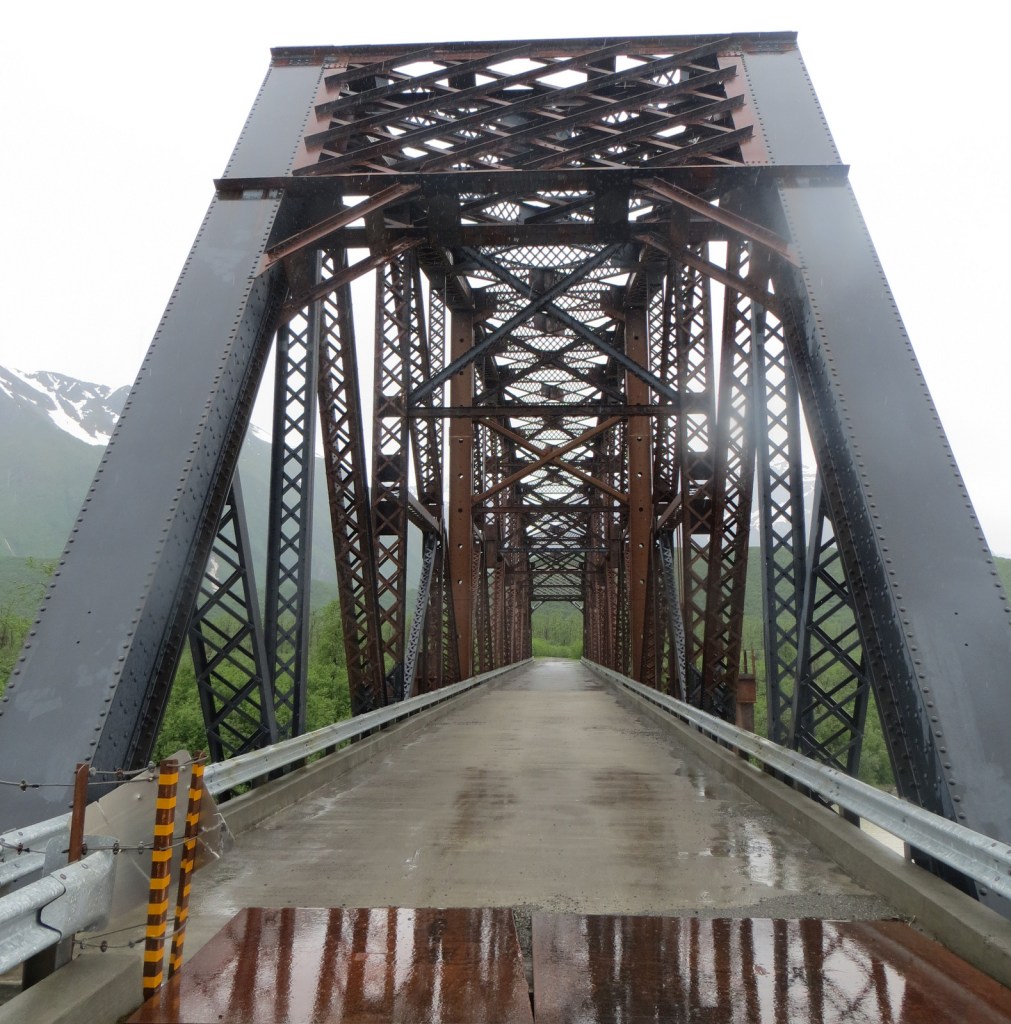
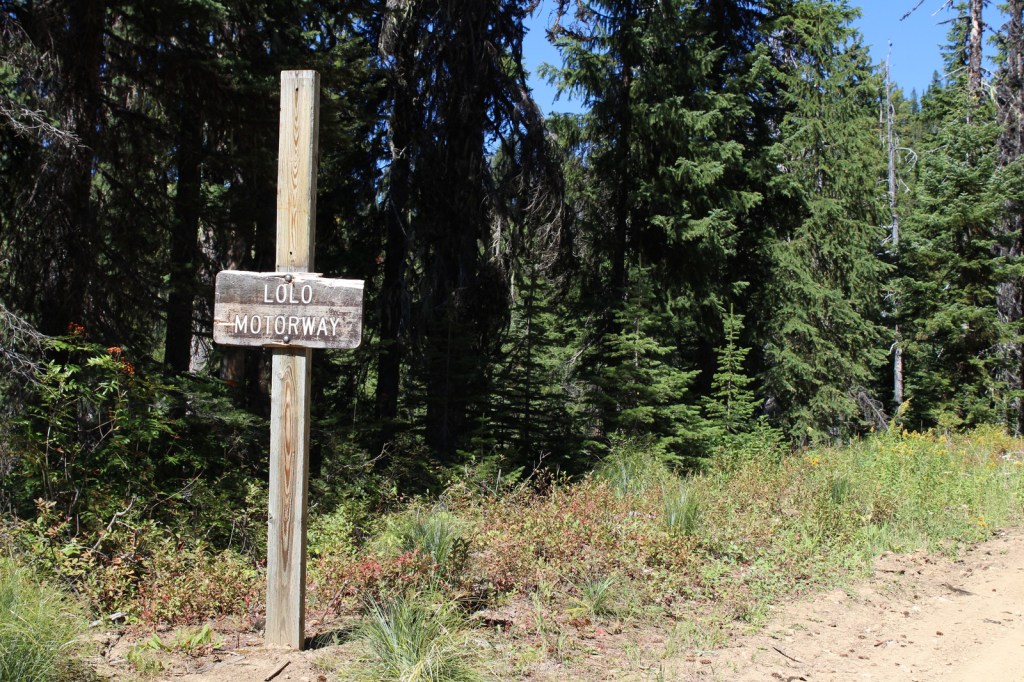
The scenic 73-mile Lolo Motorway is a single-lane, dirt road that tracks both the Nez Perce (Nee-Me-Poo) and Lewis and Clark National Historic Trails.  Also labeled Forest Road 500, it follows a ridgeline north of the Lochsa River and several steep access roads climb to meet it from Highway 12.  High-clearance vehicles (or motorcycles) are a must and four-wheel drive is required on the rougher western end of the route.  Driving up Parachute Hill Forest Road 569 and down Saddle Camp Forest Road 107 makes for a good four-hour loop with short stops at the Indian Post Office and Devils Chair.

Camping

Although it is close to Highway 12, the pleasant Jerry Johnson Campground is one of several campgrounds found along the Lochsa National Wild and Scenic River and located only a short drive from the trailhead for the hot springs.

Wilderness Areas

Selway-Bitterroot Wilderness (also in Bitterroot, Nez Perce, and Lolo National Forests)

Related Sites

Challis National Forest (Idaho)

Big Hole National Battlefield (Montana)

Nez Perce National Historical Park (Idaho-Oregon-Montana)

Nearest National Park

Glacier

Conifer Tree Species

western redcedar, western larch, grand fir, subalpine fir, Douglas-fir, Engelmann spruce, western white pine, ponderosa pine, lodgepole pine, limber pine, whitebark pine, Pacific yew, Rocky Mountain juniper

Flowering Tree Species

quaking aspen, Pacific dogwood, red alder, balsam poplar, paper birch, Piper’s hawthorn

Explore More – What famous group built the 73-mile-long Lolo Motorway in the 1930s?

Learn more about Clearwater and the 154 other National Forests in our new guidebook Out in the Woods

We are a participant in the Amazon Services LLC Associates Program, an affiliate advertising program designed to provide a means for us to earn fees by linking to Amazon.com and affiliated sites.

Chugach National Forest

Chugach National Forest

Alaska

Managed by U.S. Forest Service, Alaska Region

6,908,540 acres (5,384,460 federal/ 1,524,080 other)

Website: https://www.fs.usda.gov/chugach/

Overview

Roughly the size of New Hampshire, Chugach National Forest stretches from Seward, Alaska to the east beyond Cordova.  It encompasses 3,500 miles of shoreline in scenic Prince William Sound, one of the sport fishing world’s top destinations for halibut, ling cod, and salmon.  It is the northernmost and westernmost of all 155 National Forests, and 30% of its acreage is covered by glaciers (including 22 tidewater glaciers).  Chugach National Forest was established in 1907 from part of a Forest Reserve originally created in 1892, only 25 years after Alaska was purchased from Russia.

Highlights

Seward Scenic Byway, Turnagain Arm, Portage Glacier, Porcupine Campground, Russian River, Columbia Glacier, Million Dollar Bridge, Childs Glacier, Grayling Lake, Porcupine Creek Falls, Hope Point Trail, Iditarod National Historic Trail, Johnson Pass Trail, Russian Lakes Trail

Must-Do Activity

Cut off from the road system of Alaska, Cordova is a fishing village on Prince William Sound at the end of the Copper River Delta, which is considered the largest contiguous wetlands complex on North America’s Pacific coast.  Surrounded by Chugach National Forest, Cordova’s road network was dramatically shortened in 2011 when the mighty Copper River washed out a bridge 36 miles outside of town.  Now if you want to get to the dramatic Million Dollar Bridge or stunning Childs Glacier you have to arrange a trip by air boat.  Starting in 1911, the Million Dollar Bridge brought railcars full of copper ore from Kennecott Mine (which is now part of Wrangell-St. Elias National Park and Preserve).  Just across the Million Dollar Bridge, a short climb up a small hill provides great views of Miles Lake and the surrounding area.

Best Trail

There are over 500 miles of designated trails in the National Forest, including several long trails on the Kenai Peninsula, which is accessible by paved roads from Anchorage.  Three trails popular with backpackers are the 23-mile Johnson Pass Trail, 22-mile long Russian Lakes Trail (with three Forest Service cabins for rent along its route), and 39-mile Resurrection Pass Trail (with eight Forest Service cabins). 

Watchable Wildlife

Chugach National Forest provides nesting habitat for millions of birds, including a huge population of bald eagles and more than 200 colonies of seabirds.  Large mammals include moose, caribou, Sitka black-tailed deer, Dall sheep, mountain goats, pine martens, coyotes, gray wolves, black bears, and grizzly/brown bears.  Marine mammals include humpback whales, minke whales, Dall’s porpoises, Steller sea lions, and sea otters.  Rivers and creeks provide spawning beds for all five species of Pacific salmon: chinook/king, sockeye/red, coho/silver, chum/dog, and pink/humpback. 

Instagram-worthy Photo

Boat tours out of the beautiful port of Valdez get close to the massive Columbia Glacier, a tidewater glacier that produces so many icebergs that it is inaccessible from the water.

Peak Season

Summer

Fees

None

Road Conditions

There are not many roads in Chugach National Forest, and to access the Million Dollar Bridge and Childs Glacier outside Cordova you will need to arrange a trip by air boat since a bridge washed out in 2011.

Camping

There are 16 campgrounds in Chugach National Forest, including the Porcupine Campground in Hope near a creek popular for salmon fishing.

Wilderness Areas

Nellie Juan-College Fiord Wilderness Study Area

Related Sites

Katmai National Park and Preserve (Alaska)

Wrangell-St. Elias National Park and Preserve (Alaska)

Glacier Bay National Park and Preserve (Alaska)

Nearest National Park

Kenai Fjords

Conifer Tree Species

Sitka spruce, western hemlock, mountain hemlock, yellow-cedar

Flowering Tree Species

thinleaf alder, balsam poplar, paper birch, Scouler willow, Bebb willow, feltleaf willow, undergreen willow, Barclay willow, netleaf willow, arctic willow, Sitka willow, Sitka mountain-ash, Oregon crab apple

Explore More – Chugach National Forest covers nearly seven-million acres of land, but how many miles of Forest Service roads are there?

Learn more about Chugach and the 154 other National Forests in our new guidebook Out in the Woods

We are a participant in the Amazon Services LLC Associates Program, an affiliate advertising program designed to provide a means for us to earn fees by linking to Amazon.com and affiliated sites.

Katmai National Park and Preserve

Katmai National Park and Preserve

Alaska

Managed by National Park Service

Established 1918 National Monument, 1980 National Park

3,674,529 acres

Website: nps.gov/katm

Overview

Katmai National Monument was created after the Novarupta Volcano erupted in 1912 (an event recorded in the skinny tree rings grown throughout Alaska that year).  Ash fell in Seattle (1,500 miles away) and piled up to 700 feet deep in the Valley of Ten Thousand Smokes.  The valley is no longer smoking, but it is there are still 15 active volcanoes within the park’s boundaries.  This remote park on the Alaska Peninsula has few roads and is only accessible by airplane (typically equipped with floats for water landings).  Oh yeah, and there are lots of grizzly bears, or brown bears as they are called in coastal areas of Alaska.

Highlights

Brooks Falls, North Arm of Naynek Lake, Hallo Bay, Valley of Ten Thousand Smokes, Baked Mountain Huts, Savonoski Loop

Must-Do Activity

The grizzly/brown bears of Brooks Falls are celebrities due to the annual Fat Bear Week vote for the chunkiest bear on social media.  Less famous are the bears that hang out around Hallo Bay on the coastline, eating grass and shellfish until the salmon arrive.  Regardless of your destination, flights from road-accessible portions of Alaska (like Homer and Kenai) can be quite costly.  Most of the approximately 50,000 annual visitors come only for a day trip, although there are three expensive lodges and a campground in the park.

Best Trail

Brooks Falls Trail connects the Lower River Bear Viewing Platform 1.2 miles to the Falls and Riffles Platforms at Brooks Falls.  Near the visitor center, the short Cultural Site Trail visits a prehistoric camp and reconstructed dwelling.

Instagram-worthy Photo

Brooks Falls is a world-class destination for wildlife photographers from around the world, so you might want to bring along a camera with a good zoom lens if you pay to get there during the peak months of July and September. This photo is from Scott’s father (see more of his photos and paintings at Bruce Sink.com)

Peak Season

Summer

Hours

https://www.nps.gov/katm/planyourvisit/hours.htm

Fees

The National Park Service does not charge an entry fee, but it is very expensive to fly to Brooks Camp or Hallo Bay.

Road Conditions

There is a 23-mile long road that leads from Brooks Falls to the Valley of Ten Thousand Smokes and a daily eight-hour ranger-guided bus tour is available in the summer.  Backpackers can buy one-way tickets and explore the area, with the Baked Mountain Huts a popular destination 12 miles away across two difficult river crossings.

Camping

There are 60 sites at Brooks Camp Campground (reservations required prior to arrival), which is surrounded by an electric fence to keep bears out.

Related Sites

Kenai Fjords National Park (Alaska)

Lake Clark National Park and Preserve (Alaska)

Denali National Park and Preserve (Alaska)

Explore More – How many grizzly/brown bears are estimated to live within Katmai National Park and Preserve?

We are a participant in the Amazon Services LLC Associates Program, an affiliate advertising program designed to provide a means for us to earn fees by linking to Amazon.com and affiliated sites.

Challis National Forest

Challis National Forest

Idaho

Managed by U.S. Forest Service, Intermountain Region

2,488,105 acres (2,463,471 federal/ 24,634 other)

Website: https://www.fs.usda.gov/scnf/

Overview

Challis National Forest covers the southern portion of the co-managed Salmon-Challis National Forest in central Idaho.  It includes the northern parts of Sawtooth National Recreation Area and a section of the Salmon Wild and Scenic River, as well as several northwest-southeast running mountain ranges.  In the forest’s scenic Lost River Range, 12,667-foot Borah Peak is the highest point in Idaho.  Further south near Arco, a steep half-mile trail leads to King Mountain Natural Arch in Bridge Canyon, a limestone formation with an 80-foot span. 

Highlights

Salmon River Scenic Byway, Stanley Museum, Sunbeam Hot Springs, Custer Adventure Motorway, Yankee Fork Hot Springs, Lemhi Range, White Knob Mountains, Camas Meadows, Challis Creek Lakes, Hidden Mouth Cave, Sawtooth Lake, White Cloud Peaks, Grover Creek Lake, Borah Peak

Must-Do Activity

The Salmon River Scenic Byway runs 162 miles to Lost Trail Pass, starting in Stanley where it intersects with the Sawtooth and Ponderosa Pine Scenic Byways.  Challis National Forest manages the free Stanley Museum there inside the historic Valley Creek Ranger Station.  Further down the road, the Sunbeam Bathhouse was built in 1937 by the Civilian Conservation Corps (CCC) at a hot springs on the Salmon River where people still go to soak seeking the perfect spot between the frigid river and scalding spring water.

Best Trail

We previously covered the trail to stunning Sawtooth Lake in our post on Sawtooth National Recreation Area.  While it is not for everyone due to its strenuousness, we will write here about the route up 12,667-foot Borah Peak.  From its beginning (which we started in the dark) the entire trail is incredibly steep, so much so that we ran back down the final two miles because it was easier on our knees.  The route gains 5,400 feet of elevation in 4.5 miles and often requires the use of your hands, but no special climbing equipment.  Even if you decide to turn around at Chicken-Out Ridge before ascending the Knife Edge, the panoramic scenery is well worth the effort.

Watchable Wildlife

This is a fairly arid portion of the west, so you are more likely to see a ground squirrel or coyote than any other wildlife.  Trout fishing is a popular activity in the Salmon River.  Large mammalian species include elk, mule deer, pronghorns, and black bears.  Ravens and a variety of birds of prey catch the thermals around Borah Peak.

Instagram-worthy Photo

The view of King Mountain Natural Arch’s 80-foot span is arguably better while driving in than it is after ascending the treacherous final mile of road and hiking the steep half-mile trail to its overlook (see below).

Peak Season

Late summer due to snowpack

Fees

None

Road Conditions

The road from Highway 93 to the Borah Peak Campground and Trailhead is well maintained.  The last mile of road to the trailhead for King Mountain Natural Arch requires a high-clearance vehicle, but the nine miles of unpaved roads before that are decent and well signed (although we got a flat tire).

Camping

The campground at the base of Borah Peak is only $5 per night and allows climbers to get an early start.  There are many campgrounds along the Salmon River Scenic Byway and historic Yankee Fork Road/ Custer Adventure Motorway.

Wilderness Areas

Frank Church-River of No Return Wilderness (also in Bitterroot, Boise, Nez Perce, Payette, and Salmon National Forests)

Jim McClure-Jerry Peak Wilderness (also run by the Bureau of Land Management)

Sawtooth Wilderness (also in Boise and Sawtooth National Forests)

Related Sites

Caribou National Forest (Idaho-Utah-Wyoming)

Craters of the Moon National Monument and Preserve (Idaho)

Minidoka National Historic Site (Idaho-Washington)

Nearest National Park

Yellowstone

Conifer Tree Species

Engelmann spruce, subalpine fir, ponderosa pine, lodgepole pine, limber pine, whitebark pine, Douglas-fir, Rocky Mountain juniper

Flowering Tree Species

quaking aspen, water birch, Rocky Mountain maple, boxelder, Bebb willow, blue elderberry, chokecherry, curlleaf mountain-mahogany, white alder, syringa, sagebrush

Explore More – How many Civilian Conservation Corps (CCC) camps were in Idaho during the Great Depression?

Learn more about Challis and the 154 other National Forests in our new guidebook Out in the Woods

We are a participant in the Amazon Services LLC Associates Program, an affiliate advertising program designed to provide a means for us to earn fees by linking to Amazon.com and affiliated sites.

Sawtooth National Recreation Area

Sawtooth National Recreation Area

Idaho

Managed by U.S. Forest Service, Intermountain Region

730,864 acres

Website: https://www.fs.usda.gov/recarea/sawtooth/recarea/?recid=5842

Overview

Sawtooth National Recreation Area claims some of the most incredible mountain scenery in the heart of Idaho and spreads across Boise, Challis, and Sawtooth National Forests.  According to a U.S. Forest Service publication, the 217,088-acre Sawtooth Wilderness claims the cleanest air in the continental United States, and it also contains over 270 miles of trails so there is plenty to explore.  In addition to the jagged peaks in the spectacular Sawtooth Wilderness, in 2015 President Obama signed the Sawtooth National Recreation Area and Jerry Peak Wilderness Additions Act creating three new Wildernesses that cover an additional 275,665 acres.

Highlights

Sawtooth Scenic Byway, Galena Overlook, Redfish Lake, Salmon River Scenic Byway, Stanley Lake, Cramer Divide, Alpine Lake (there are actually two in different places), Baron Lakes, Sawtooth Lake

Must-Do Activity

On our first drive north on Highway 75, we were not prepared for the beautiful mountain views once we summited 8,701-foot Galena Pass.  It was also a good observation point for a wildfire burning alongside the highway.  The date it ignited was July 4th, 2014 and it was burning near Fourth of July Creek, so naturally it was named the Hell Roaring Fire.  According to Inciweb it eventually closed the road and burned 325 acres.  Once through the smoke, we had great views of the Salmon River Valley on our way to scenic Redfish Lake, which is named for the endangered sockeye (or red) salmon that travel 900 miles and gain 6,500 feet in elevation to arrive here for spawning.  The lake also has chinook (or king) salmon and kokanee salmon (landlocked sockeyes that are not anadromous). We returned in 2022 to backpack 40 miles on trails off of Redfish Lake Creek.

Best Trail

From Iron Creek Trailhead it is 11 miles roundtrip out-and-back with an elevation gain of 1,700 feet to access Sawtooth Lake.  As we hit 8,400 feet in elevation, the ponds were still predominantly frozen over and covered in snow.  We were initially disappointed, as we had originally considered stopping halfway up the trail at deep blue Alpine Lake thinking nowhere could be prettier.  Then we rounded a bend and realized we were wrong.  Our first view of Sawtooth Lake was a soul stirring sight (see Instagram-worthy Photo below).  A surprisingly warm night revealed an incredible firmament above snow-striped mountain peaks that seemed to glow in the dark.  In the morning the quiet here was profound, broken only by the occasional peep of a pika scurrying through the talus slope.  We found it hard to say goodbye to such a picturesque and revitalizing place.

Instagram-worthy Photo

On our first visit to Sawtooth Lake, snowy Mt. Regan was lit by the setting sun and reflected in open leads in the ice, glassy still but for the occasional ripple of a rising trout. 

Peak Season

Late summer after the snow melts

Fees

None

Road Conditions

The side road to Redfish Lake is paved and access to Iron Creek Trailhead was doable with our low-clearance passenger vehicle.

Camping

The shores of crystal-clear Redfish Lake have a lodge and four campgrounds near the scenic lake.  Stanley Lake and Alturus Lake also have popular campgrounds.

Related Sites

City of Rocks National Reserve (Idaho)

Minidoka National Historic Site (Idaho-Washington)

Craters of the Moon National Monument and Preserve (Idaho)

Nearest National Park

Yellowstone (Wyoming-Montana-Idaho)

Explore More – When was Sawtooth National Recreation Area established?