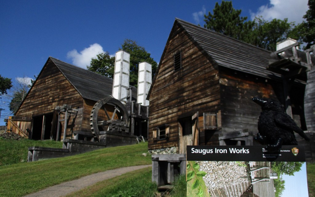
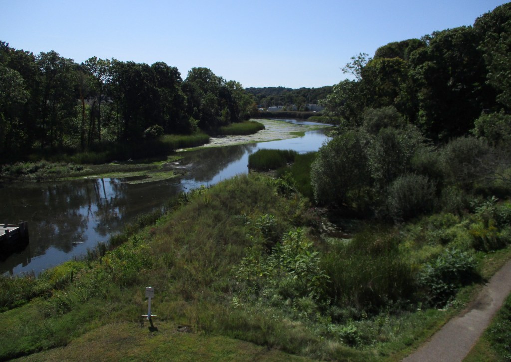
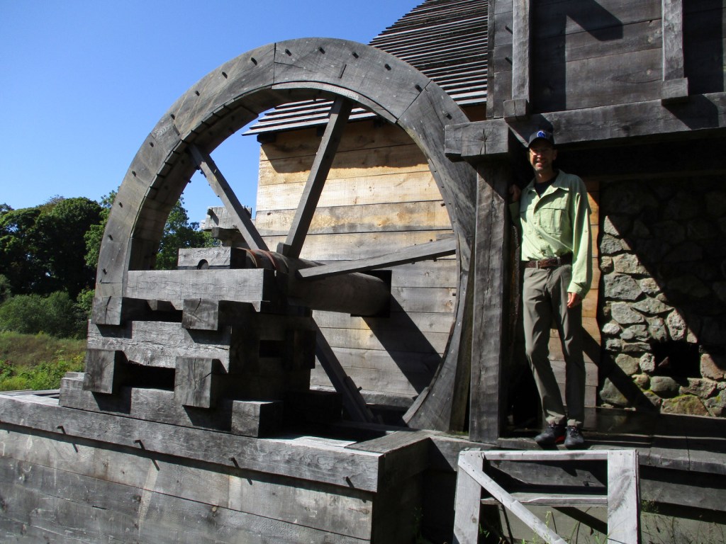
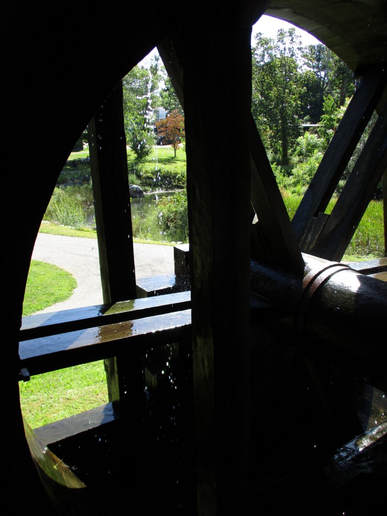
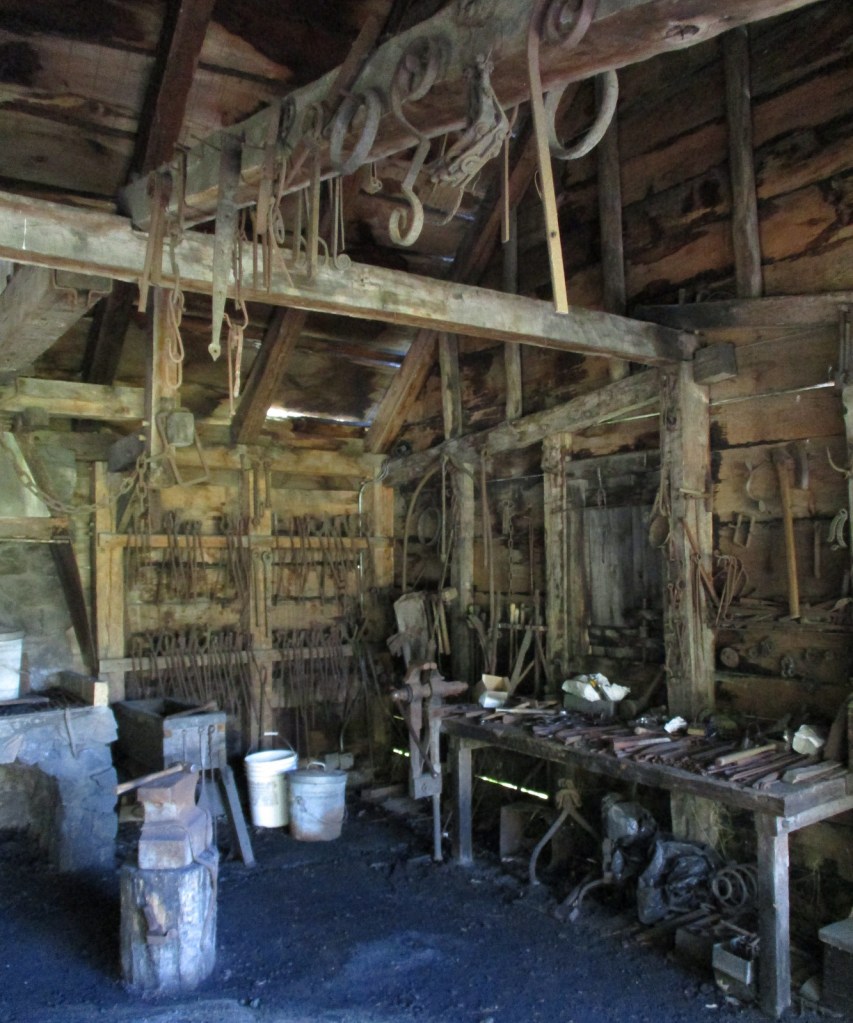
Situated in the middle of the town of Saugus, this interesting little park preserves North America’s first integrated iron works dating back to 1646. The site was chosen because of access to local bog iron, gabbro, ample trees for making charcoal, and the Saugus River for providing power and shipping. Molten iron was poured into long sow bars that were forged into wrought iron, some of which went into a rolling and slitting mill that provided material for easily producing nails. In addition to cast products like pots, other items made include hinges, hoes, shovels, kettle hooks, and tongs. In the 1660s, bankruptcy led skilled iron workers (mostly indentured servants) from here to start mills throughout New England. Saugus Iron Works National Historic Site is part of Essex Saugus National Heritage Area, along with Salem Maritime National Historic Site in northeast Massachusetts.
Highlights
Saugus River, blast furnace, forge, Iron Works House, free mushed penny machine
Must-Do Activity
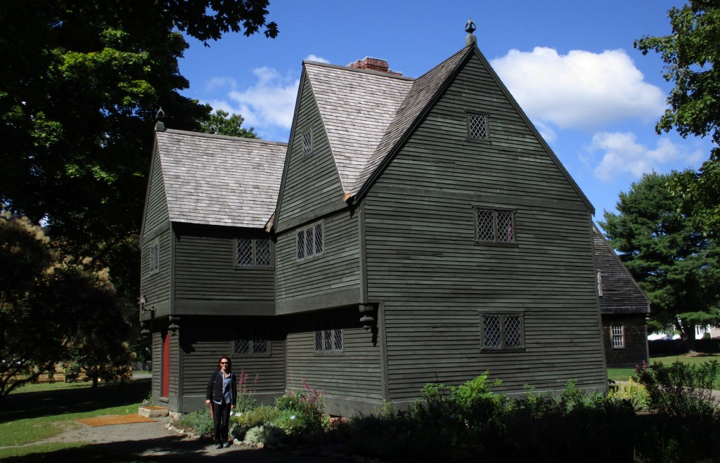
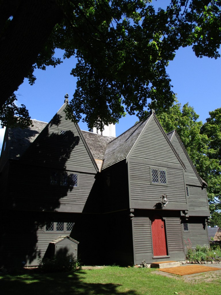
Start your visit in the National Park Service (NPS) museum located in the former chicken coop and blacksmith shop, where a 12-minute video is played. Do not forget to crush your own penny in the only free coin-smashing machine we have encountered at a NPS site. Rangers offer tours throughout the day or a self-guided tour takes you to a blast furnace, forge, rolling mill, warehouse, and dock area on the Saugus River. The Iron Works House is a 1680s mansion containing period furnishings and is the only original building left standing. Other structures were rebuilt in the 1950s by the First Iron Works Association funded by the American Iron and Steel Institute.
Best Trail
A half-mile nature trail follows along the banks of the Saugus River.
Instagram-worthy Photo
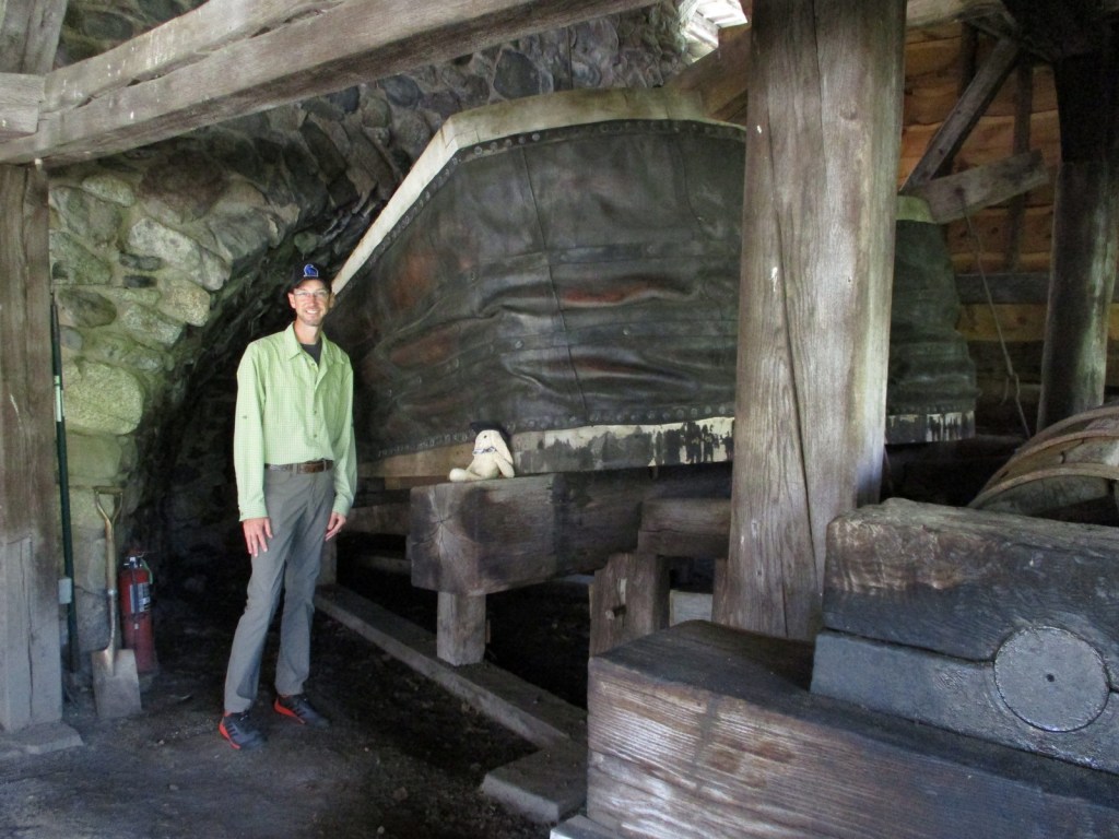
Huge bellows made of wood and leather provided a steady blast of air to maintain the high temperature required to smelt ore into molten iron.
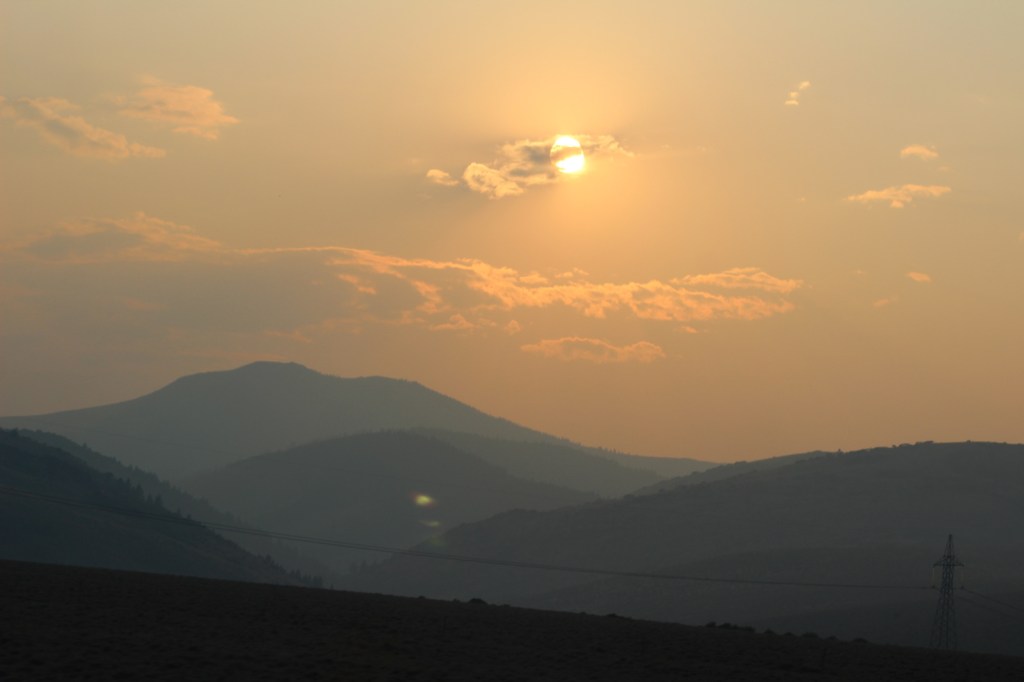
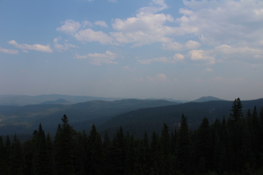
In central Oregon, the sagebrush-dominated high desert is also known as the Oregon Outback because of its rural resemblance to the arid Australian bush. Fremont National Forest encompasses the wooded mountains that rise to the west above Lake Abert and Summer Lake in the Warner Valley, an important wetland area for wildlife. In addition, a separate section located to the southeast covers the Warner Mountains and Abert Rim. The cliffs of Hadley Butte are popular with hang gliders. The Mitchell Monument honors the six American civilians who lost their lives during World War II when a Japanese balloon bomb exploded after traveling 6,000 miles.
Highlights
Oregon Outback Scenic Byway, Goodlow Mountain Natural Area, Drake Peak Lookout, North Warner Viewpoint, Abert Rim, Heart Lake, North Fork of Sprague National Wild and Scenic River, Mitchell Monument, Cottonwood Lake, Crane Mountain National Recreation Trail, Fremont National Recreation Trail, Gearhart Mountain Trail
Must-Do Activity
While it is not an official trail, the 4.6-mile out-and-back hike to Coleman Rim does have a good payoff with views of the Chewaucan River Valley. It is reached by driving nine miles up paved Forest Road 3360 from Highway 140, then turning right for two miles on gravel Forest Road 024 to Shepard Camp Creek. From there, you start hiking north to the head of Shepard Camp Meadow, while watching for black-tailed deer, sandhill cranes, and the numerous cattle that frequent this area. At that point, the route starts to gain elevation as it turns east through a forest of ponderosa pine, Sierra white fir, and western white pine trees. You will likely have to climb over a few downed trees as you navigate toward the rocky Coleman Rim that sits above 7,000 feet in elevation.
Best Trail
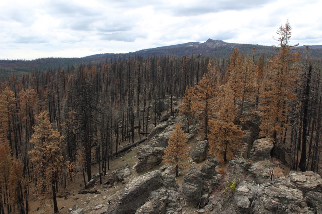
After the Bootleg Fire swept through the area between our 2020 and 2022 visits, it was amazing to see the differences around Gearhart Mountain. We drove as far up the mountain as we could to Lookout Rock Trailhead, parking at the edge of the Gearhart Mountain Wilderness, walking up the gated road to a fire lookout tower that remained unburnt on its rocky ridgetop. It was difficult to the follow the official Gearhart Mountain trail because of downed trees and the blanket of dead needles on the forest floor, but it was worth a look around to see the fire’s aftermath (please exercise caution due to the hazards of standing dead trees). The trail accesses the volcanic Palisade Rocks within one mile from the trailhead.
Watchable Wildlife
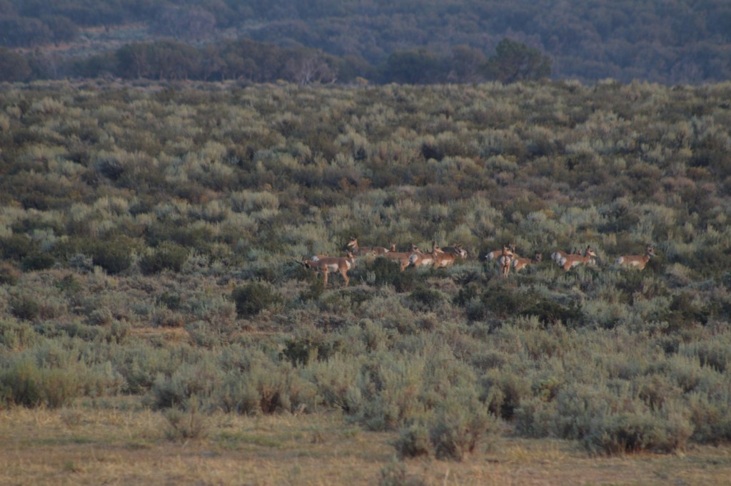
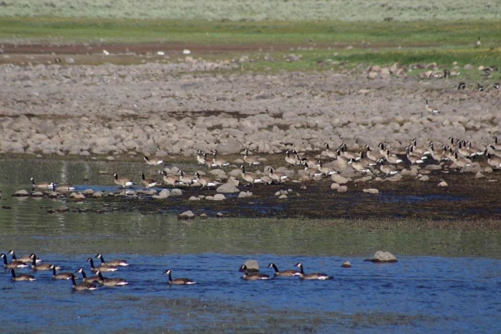
Mule deer, elk, and pronghorns are large ungulates found in Fremont National Forest, sharing habitat with carnivores like black bears, coyotes, mountain lions, and bobcats. The National Forest borders Summer Lake and several large wetlands that are important stops for migrating birds on the Pacific Flyway. Commonly seen waterfowl are Canada geese, mallards, and whistling swans, and the elusive northern spotted owl nests in old-growth forests. There are largemouth bass in the lakes, while streams support several species of trout, including the threatened bull trout.
Instagram-worthy Photo
Nearly 10,000 Fugo balloons were launched by the Japanese during World War II, but only one caused casualties, killing six American civilians when it exploded on May 5, 1945. At the Mitchell Monument, you can read their story and see a ponderosa pine tree that still contains shrapnel from the balloon bomb.
Peak Season
Summer
Fees
None
Road Conditions
Paved Highway 140 runs east-west through the heart of the National Forest, while Highway 395 splits a separate southeastern section on the California border. We found unpaved Forest Road 34 to be full of potholes, but it got better the further east we went towards the Mitchell Monument and Gearhart Mountain. Even after the 2021 fire, we found Forest Road 3660 to the Coleman Rim to be a good gravel road, while Forest Road 024 was a bit overgrown.
Camping
This is a good National Forest for dispersed camping, but we also passed Corral Creek Campground on our way up to Gearhart Mountain and Cottonwood Recreation Area offers a campground on a lake. Rentals are available in the summer for the Drake Peak Lookout, Currier Guard Station, and Bald Butte Lookout.
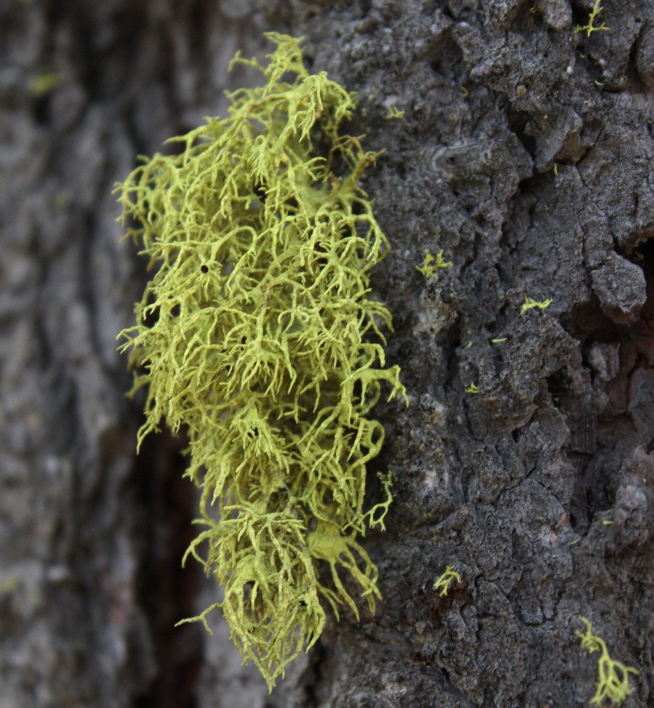
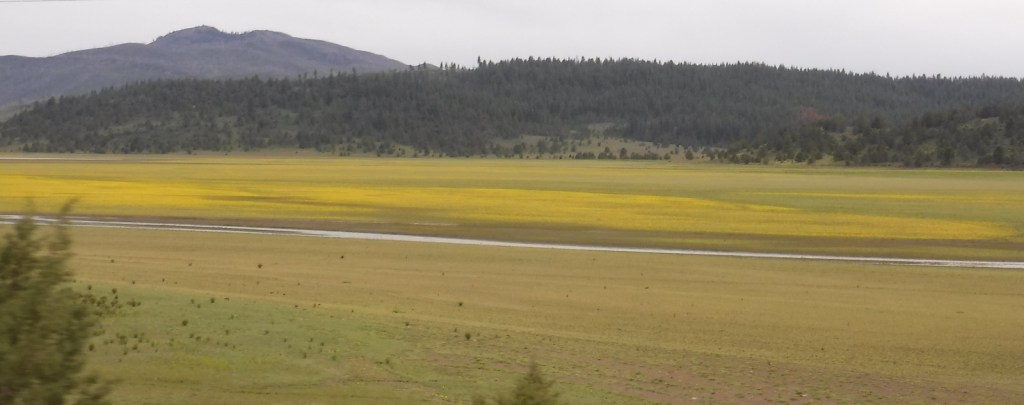
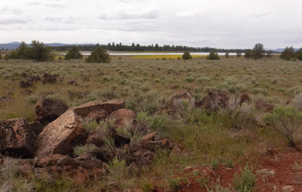
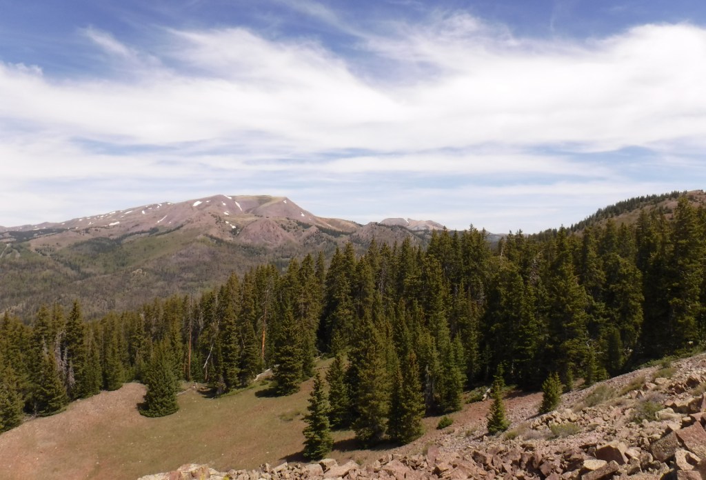
View from Coleman RimHiking to Coleman RimMule deerLichenHiking to Coleman RimView from Highway 140PronghornsMitchell MonumentLookout Rock TrailheadDamage from the 2021 Bootleg FireFire tower survived the 2021 Bootleg FireBurnt spruce conesPonderosa pines
Explore More – The National Forest is named after John C. Fremont who explored this area for the U.S. Army Corps of Engineers and went on to take control of the California Republic (for which he was convicted of mutiny and later pardoned), serve as a U.S. Senator, run twice for President, and then resign while Governor of what U.S. territory?
Learn more about this and the 154 other National Forests in our new guidebook Out in the Woods
We are a participant in the Amazon Services LLC Associates Program, an affiliate advertising program designed to provide a means for us to earn fees by linking to Amazon.com and affiliated sites.
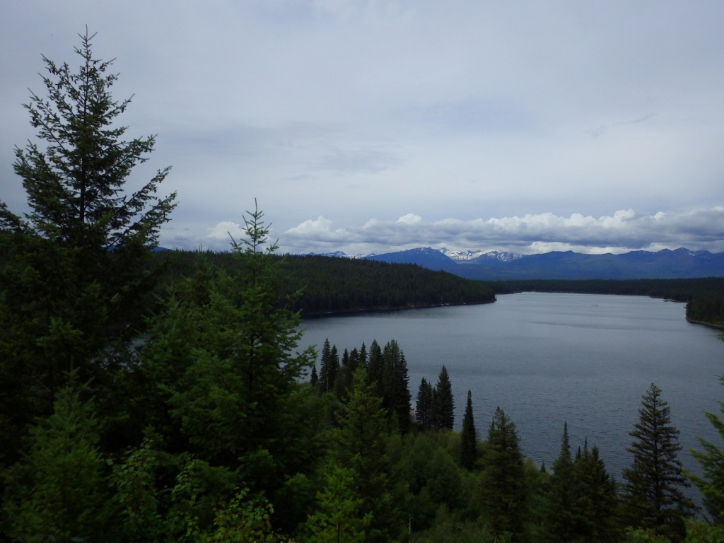
Flathead National Forest borders the entire south and west sides of Glacier National Park, providing important wildlife habitat in the Great Bear and Bob Marshall Wilderness areas. It also borders the Flathead Indian Reservation, with the Mission Mountains Tribal Wilderness neighboring the beautiful Mission Mountains Wilderness (see Best Trail). Flathead National Forest is known for great hiking and backpacking, especially from trailheads off Highway 83 east of Flathead Lake. The National Forest contains most of the extensive Flathead National Wild and Scenic River, with the South Fork known for one particular four-mile stretch of rapids up to Class V. The 564-foot-tall Hungry Horse Dam created a 34-mile-long reservoir with many boat ramps and campgrounds.
Highlights
Hungry Horse Reservoir, Holland Lake, Martin Falls, Glacier Lake, Big Salmon Falls, Flathead National Wild and Scenic River, Coram Experimental Forest, Jewel Basin, Danny On Memorial National Recreation Trail, Pacific Northwest National Scenic Trail, Continental Divide National Scenic Trail
Must-Do Activity
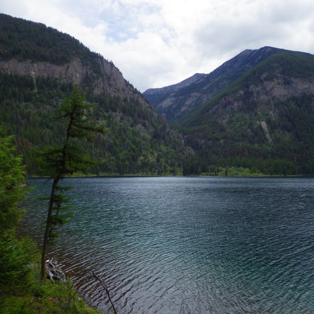
Near the town of Kalispell, Jewel Basin Hiking Area (stock prohibited) is famous among backpackers, but further south so is Holland Lake. Several campgrounds surround the lake, including the free Owl Creek Packer Camp used by stock trailers. From there the steep Holland-Gordon Trail climbs 2,100 feet in 5.8 miles one-way to Upper Holland Lake and continues into “the Bob” (Bob Marshall Wilderness). A shorter option is a 3.2 mile-roundtrip that ascends only 550 feet to pretty Holland Falls.
Best Trail
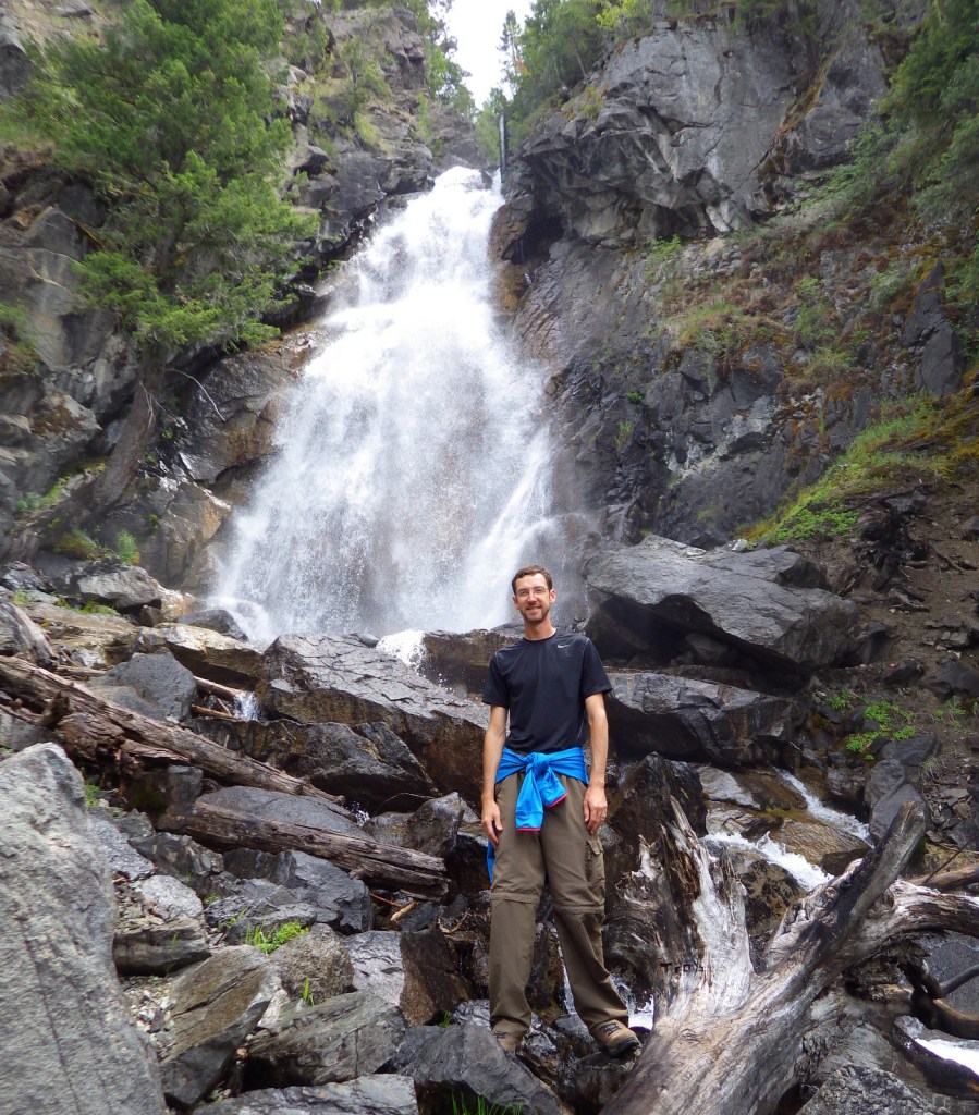
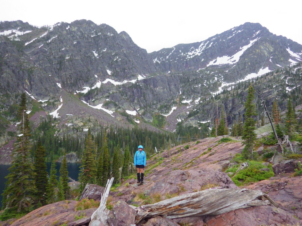
Flathead National Forest contains more than 2,800 miles of hiking trails, including 38 miles of the Pacific Northwest National Scenic Trail and a shorter stretch of the Continental Divide National Scenic Trail (which is mostly to the east in Lewis and Clark National Forest). Accessible from Highway 83 in the southwest corner of Flathead National Forest is Glacier Lake Trailhead. A long, good dirt road leads to the edge of the Mission Mountains Wilderness and a popular trail that accesses multiple mountain lakes. It is only 1.5 miles one-way to Glacier Lake, but we continued on to Turquoise Lake for an 11.6-mile out-and-back hike with a cumulative elevation gain of 2,460 feet. Both destinations are great for backpacking with stunning alpine scenery, but keep in mind that this is grizzly bear country and come prepared.
Watchable Wildlife
The most talked about species of wildlife found here is the grizzly bear, whose population primarily resides in the 1.5-million-acre Bob Marshall-Great Bear-Scapegoat Wilderness complex. Other large mammals include black bear, Canada lynx, bobcat, mountain lion, coyote, wolverine, and beaver, as well as ungulates like moose, elk, mountain goat, bighorn sheep, and white-tailed deer. Prominent birds include bald eagles, ospreys, ruffed grouse, dusky grouse, white pelicans, and trumpeter swans. Fishermen are drawn to the lakes and rivers for a variety of species, including the bull trout.
Instagram-worthy Photo
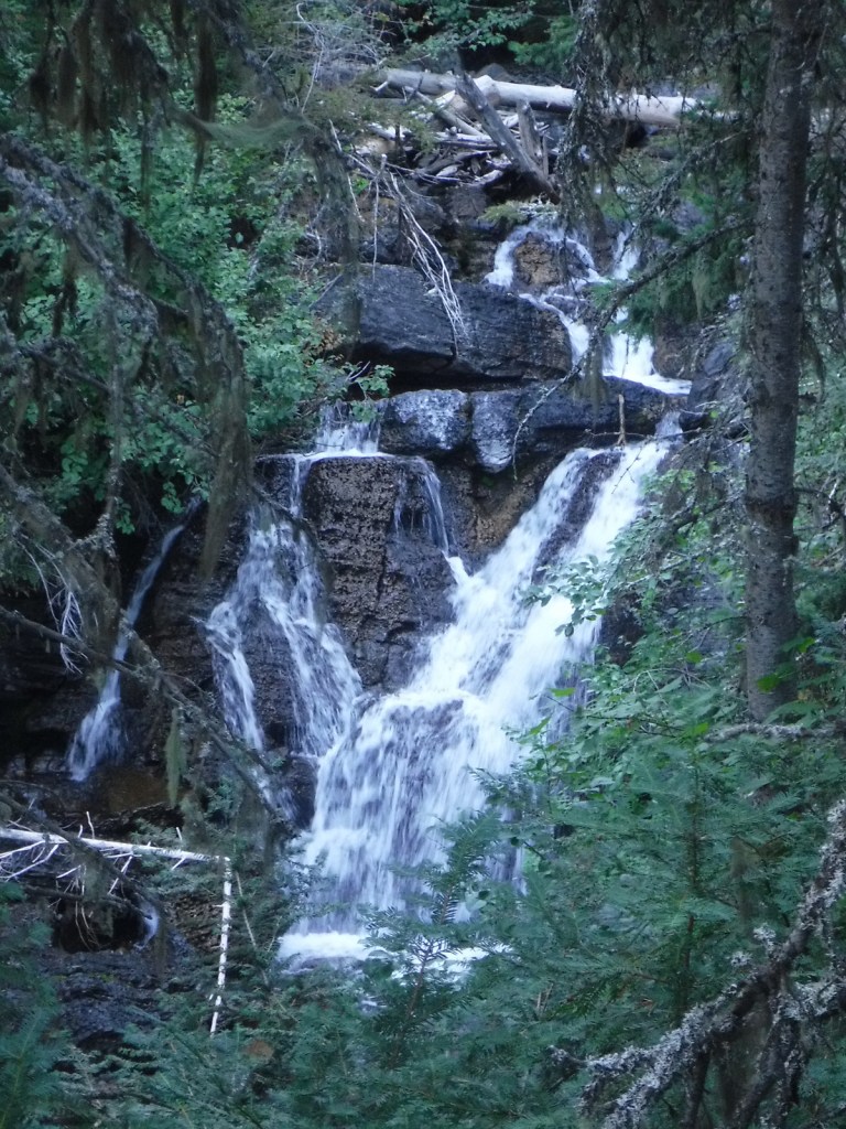
The steep terrain on the western flank of the Bob Marshall Wilderness creates numerous waterfalls, such as Barrier, Big Salmon, Dean, and Needle Falls. Holland Falls is a short 3.2-mile roundtrip hike that ascends only 550 feet from Holland Lake.
Peak Season
Summer
Fees
None?
Road Conditions
The National Forest contains 1,700 miles of roads, so there are probably some rough ones out there, but we never had a problem accessing the major trailheads in a passenger vehicle.
Camping
Flathead National Forest has 31 campgrounds and 14 cabins available for rent. Several campgrounds surround Hungry Horse Reservoir and Holland Lake, including the free Owl Creek Packer Camp used by stock trailers.
Wilderness Areas
Bob Marshall Wilderness (also in and Lewis and Clark National Forest)
Great Bear Wilderness (also in Lewis and Clark National Forest)
Explore More – Coram Experimental Forest is an 800-acre area managed for what commercial tree species?
Learn more about this and the 154 other National Forests in our new guidebook Out in the Woods
We are a participant in the Amazon Services LLC Associates Program, an affiliate advertising program designed to provide a means for us to earn fees by linking to Amazon.com and affiliated sites.
Much of Fishlake National Forest is at high elevation in central Utah, which is also true of its namesake Fish Lake that sits at 8,800 feet. Fish Lake is the largest natural mountain lake in Utah and lent its name to the Fish Lake Cutoff on the Old Spanish Trail, which ran from Santa Fe to Los Angeles. There are hundreds of miles of trails open to ATVs in the National Forest, including the 238-mile Paiute ATV Trail and the Gooseberry ATV Trails accessible from Interstate 70. There are also plenty of trails for hikers, backpackers, mountain bikers, and equestrians, including the trail that crosses the South Fork of North Creek Trail 60 times as it covers ten miles leaving from beautiful Blue Lake at the base of Mt. Baldy.
Highlights
Beaver Canyon Scenic Byway, Wildcat Guard Station, Tushar Mountains, Delano Peak, Bullion Falls, Pistol Rock, Koosharem Canyon, Fishlake Scenic Byway, Fool Creek Canyon petroglyphs, Blue Lake, Bullion Canyon Trail System, Skyline National Recreation Trail, Lakeshore Trail, Old Spanish National Historic Trail
Must-Do Activity
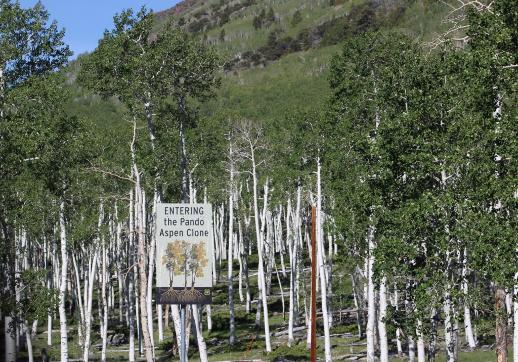
Fish Lake’s most famous resident is the aspen clone dubbed Pando (meaning “I spread” in Latin). Connected by a single root system, stems of Pando cover 106 acres and it is estimated to have started growing 80,000 years ago, arguably making it the oldest and heaviest living organism on the planet. Campers enjoy the popular Lakeshore Trail that is in four discontinuous sections adding up to about 15 miles. We found the road to Pelican Promontory on the north side of the lake too rough for our passenger vehicle and the five-mile Pelican Canyon Trail too overgrown to follow after a mile, although we did see (and hear) a northern goshawk on nest.
Best Trail
In the Tushar Mountains, Beaver Canyon Scenic Byway (Highway 153) switchbacks its way up to several trailheads for the 8.3-mile-long Skyline National Recreation Trail. We attempted to access Lake Stream Trailhead in the middle, but found the road at Puffer Lake required high-clearance. Instead, we drove the rough quarter-mile spur road to Big Flat Trailhead (at 10,220 feet in elevation) and hiked two miles to a rocky outcrop with good views. We did not attempt to drive to the trail’s western terminus at Big John Flat Trailhead that sits beneath 12,173-foot Delano Peak.
Watchable Wildlife
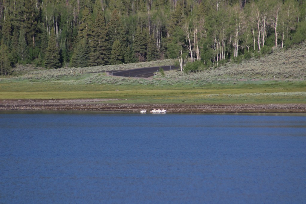
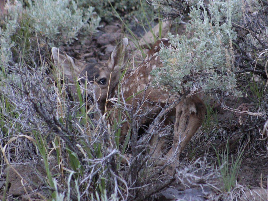
We first heard and then saw a northern goshawk on a nest (see photos) as we struggled to follow the overgrown Pelican Canyon Trail at Fish Lake. Additional birds of note are bald eagles, kestrels, several species of owls, turkey vultures, Canada geese, white pelicans, and wild turkeys. Ungulates found here are elk, mule deer, pronghorns, bighorn sheep, mountain goats, and even some moose. Other large mammals include black bears, bobcats, mountain lions, red foxes, coyotes, pine martens, minks, badgers, porcupines, beavers, snowshoe hares, and pika. As you might expect from a National Forest named Fishlake, fishing is a popular activity in the lakes and streams for rainbow trout, lake trout, splake, and other species, even in the winter.
Instagram-worthy Photo
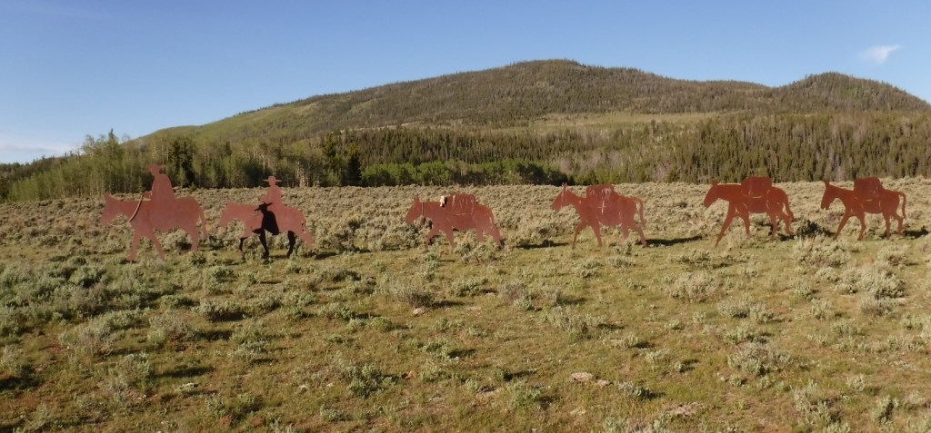
Stop at the informational pullout on the Fishlake Scenic Byway to read about the Fish Lake Cutoff of the Old Spanish Trail, then get your photo with the metal cutouts of a pack train in the sagebrush flats near Zedd’s Meadow.
Peak Season
Summer
Fees
$5 day use fee at Ponderosa Picnic Area or America the Beautiful pass
Road Conditions
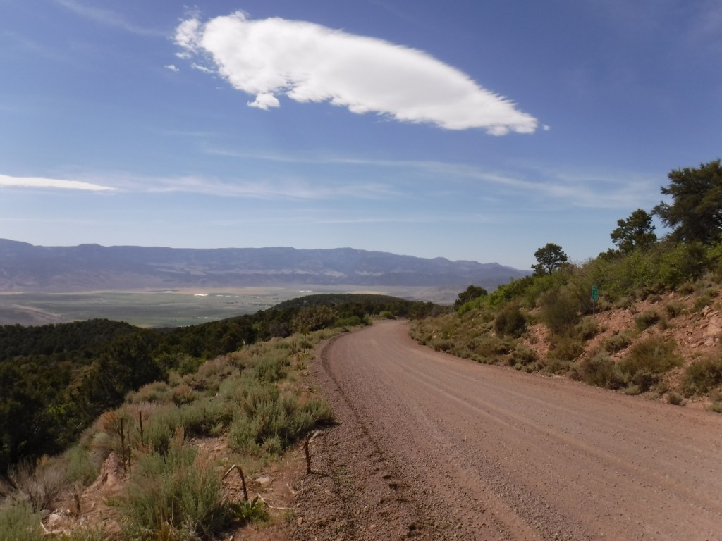
There are some rough roads in this area that require high-clearance vehicles, including the ones to Pelican Promontory and Puffer Lake. Fishlake Scenic Byway and Beaver Canyon Scenic Byway are paved, but connecting between the two required driving some good gravel roads that were already snow free during our mid-June visit.
Camping
The Aquarius Ranger Station is available for rental from May through October, as are the historic cabins at the Gooseberry Administrative Site. There are several campgrounds at Fish Lake and others located throughout the National Forest, in addition to one scenic spot on a ridge adjacent to the Second Crossing of Salina Creek in the White Mountains.
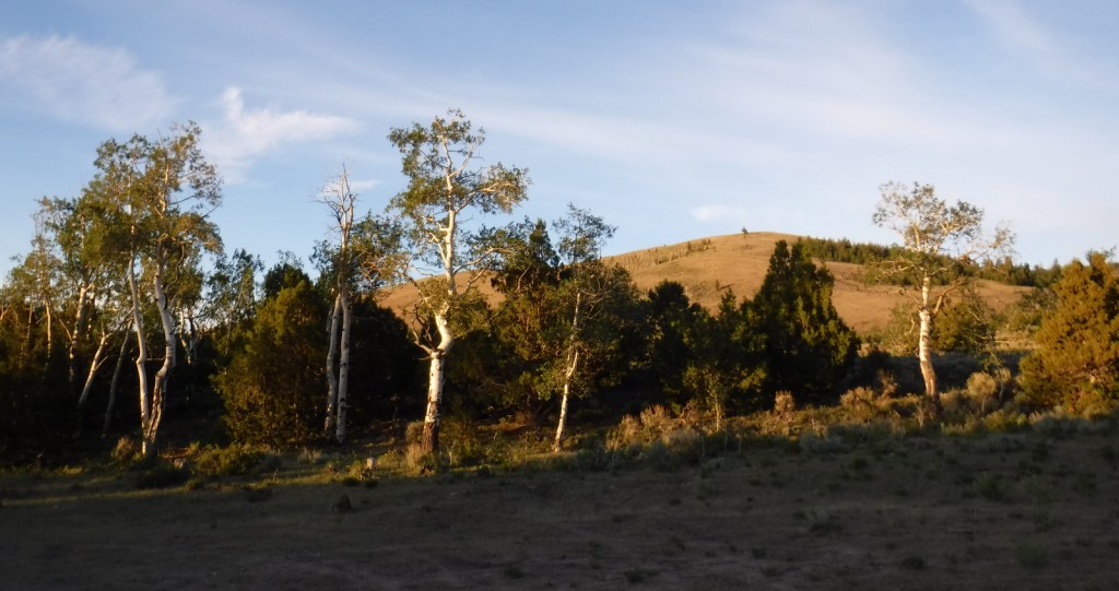
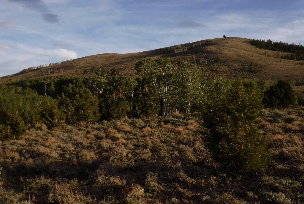
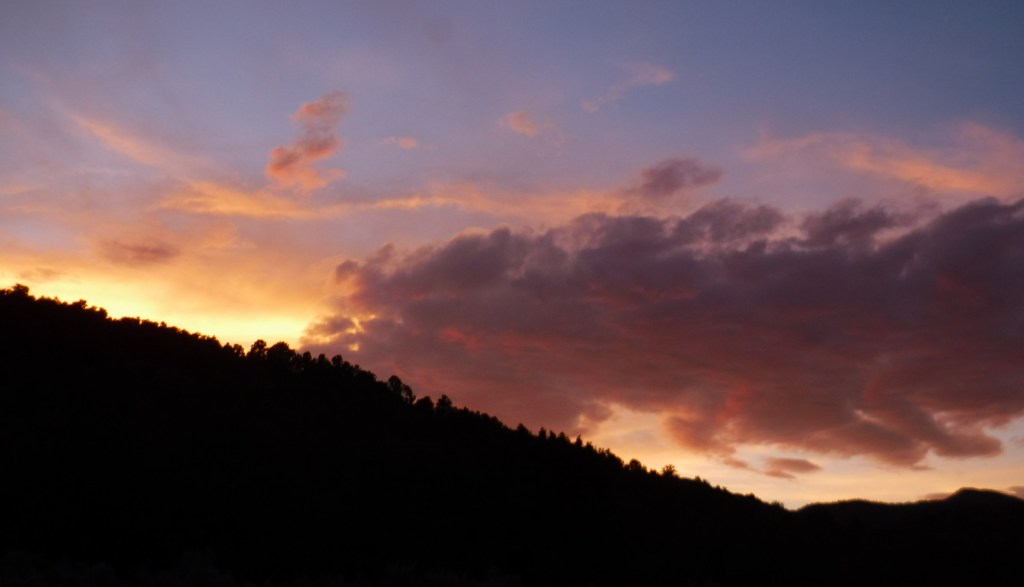
Mule deerFish Lake from Pelican PromontoryWhite pelicans on Fish LakeCanada geese on Fish LakeMule deer fawnNorthern goshawkSkyline National Recreation TrailDispersed campsite with quaking aspenGround squirrelsPonderosa Picnic AreaSunset
Explore More – Which famous American explorer named the Old Spanish Trail in the 1840s (hint: he has a National Forest named after him, but maybe not the one you first think)?
Learn more about this and the 154 other National Forests in our new guidebook Out in the Woods
We are a participant in the Amazon Services LLC Associates Program, an affiliate advertising program designed to provide a means for us to earn fees by linking to Amazon.com and affiliated sites.
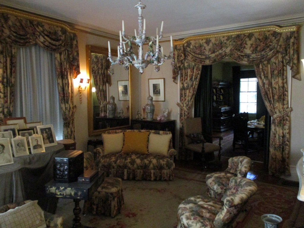
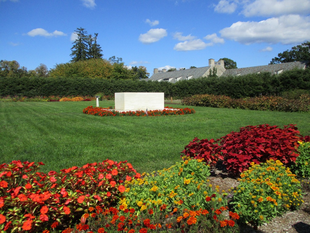
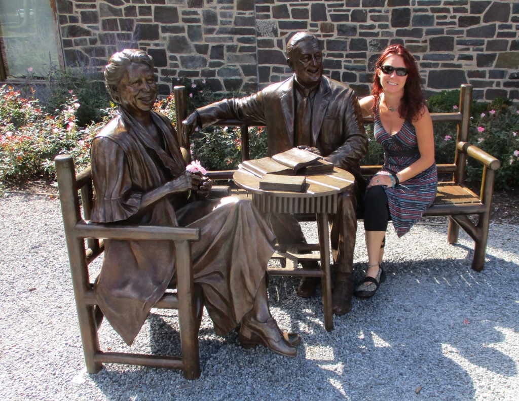
In 1882, Franklin Delano Roosevelt (FDR) was born at Springwood, his family’s estate on the Hudson River in Hyde Park, New York. In 1905, FDR married his distant cousin Eleanor and moved into the mansion with his mother. FDR contracted polio in 1921 and was paralyzed from the waist down, so some changes were made to Springwood to make it more wheelchair accessible. After FDR became President, noteworthy visitors to the house included England’s King George VI and Winston Churchill. FDR was buried on the property in 1945 and Eleanor in 1962, in the rose garden alongside Fala, their famous Scottish terrier. Exactly one year after his death, the mansion opened to the public.
Highlights
Springwood, FDR Presidential Library and Museum, Top Cottage, Hyde Park Trail
Must-Do Activity
Start your visit at the Henry A. Wallace Visitor and Education Center where you can purchase tickets for the tour inside the mansion (reservations recommended), the 22-minute film A Rendezvous With History, the Presidential Library and Museum (not managed by the National Park Service), and Top Cottage, which is located behind the nearby Eleanor Roosevelt National Historic Site. Tours meet inside the visitor center then walk a quarter-mile to the mansion. Top Cottage was built in 1938 and is only accessible on a guided tour in the summer, which a park ranger discouraged us from going on saying it was mostly a seminar-style discussion of world politics (Top Cottage tours were closed through at least 2022).
Best Trail
Hyde Park Trail connects Vanderbilt Mansion National Historic Site with Home of Franklin D. Roosevelt National Historic Site following the Hudson River. The trail then heads two miles east towards Eleanor Roosevelt National Historic Site and Top Cottage.
Instagram-worthy Photo
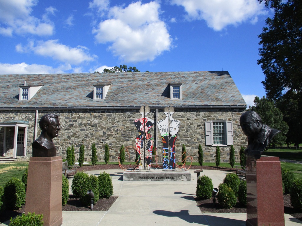
Freedom From Fear is a sculpture of a man and woman made from a section of the Berlin Wall, installed here in 1994 with a companion piece at the Winston Churchill Memorial in Fulton, Missouri. Both were created by Edwina Sandys, Churchill’s granddaughter.
$10 per person for mansion tour or free with America the Beautiful pass; $10 per person for Top Cottage tour with $5 off for America the Beautiful pass; separate entry fee for FDR Presidential Library and Museum
Road Conditions
All roads are paved with ample parking.
Camping
Mills-Norrie State Park has 45 campsites about five miles north of Hyde Park on Highway 9.
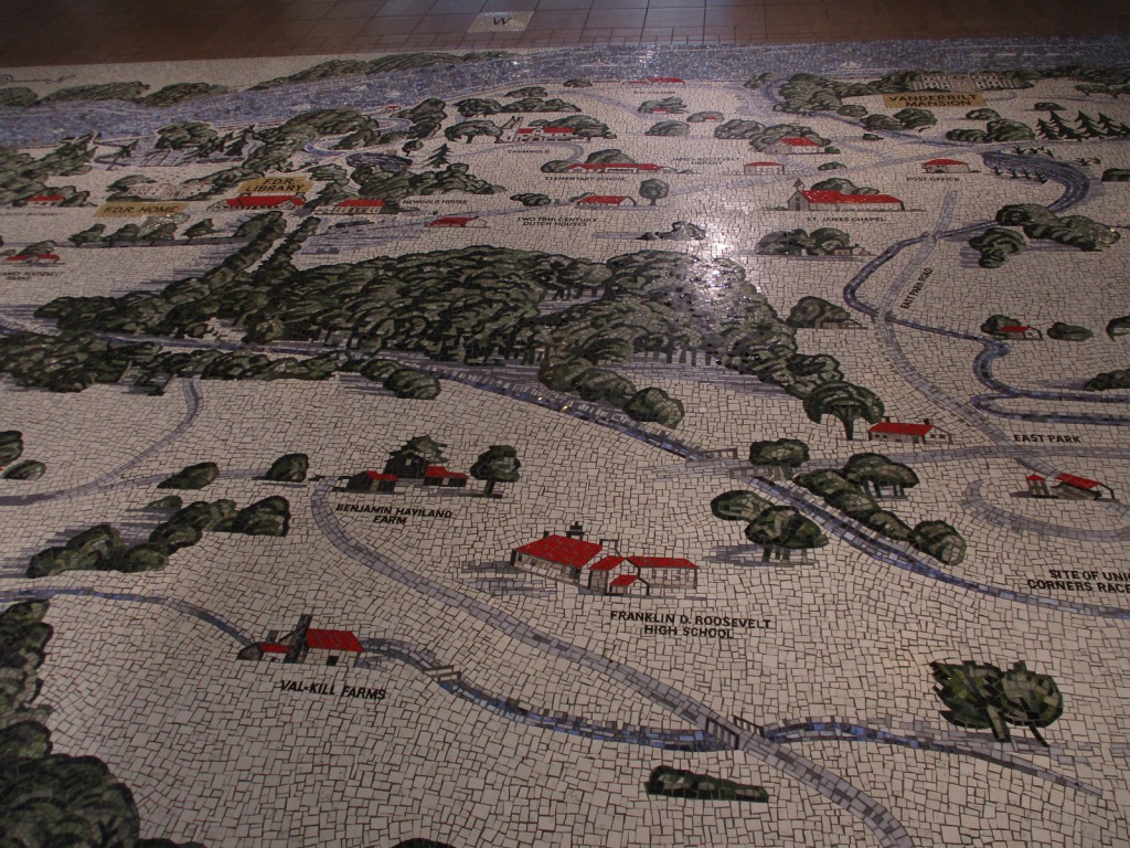
Floor inside the Henry A. Wallace Visitor and Education CenterInside the mansion’s foyerTombFDR Presidential Library and MuseumTiff becoming a Junior RangerRaven about the park
Explore More – In what year was there an assassination attempt on FDR?
Start your U.S. National Parks, National Forests, and National Monuments adventure here!