Tag Archives: Oregon

Fremont National Forest

Fremont National Forest

Oregon

Managed by U.S. Forest Service, Pacific Northwest Region

1,713,891 acres (1,207,039 federal/ 506,852 other)

Website: https://www.fs.usda.gov/fremont-winema

Overview

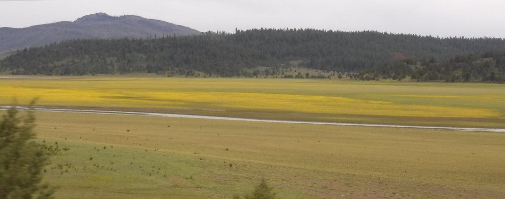
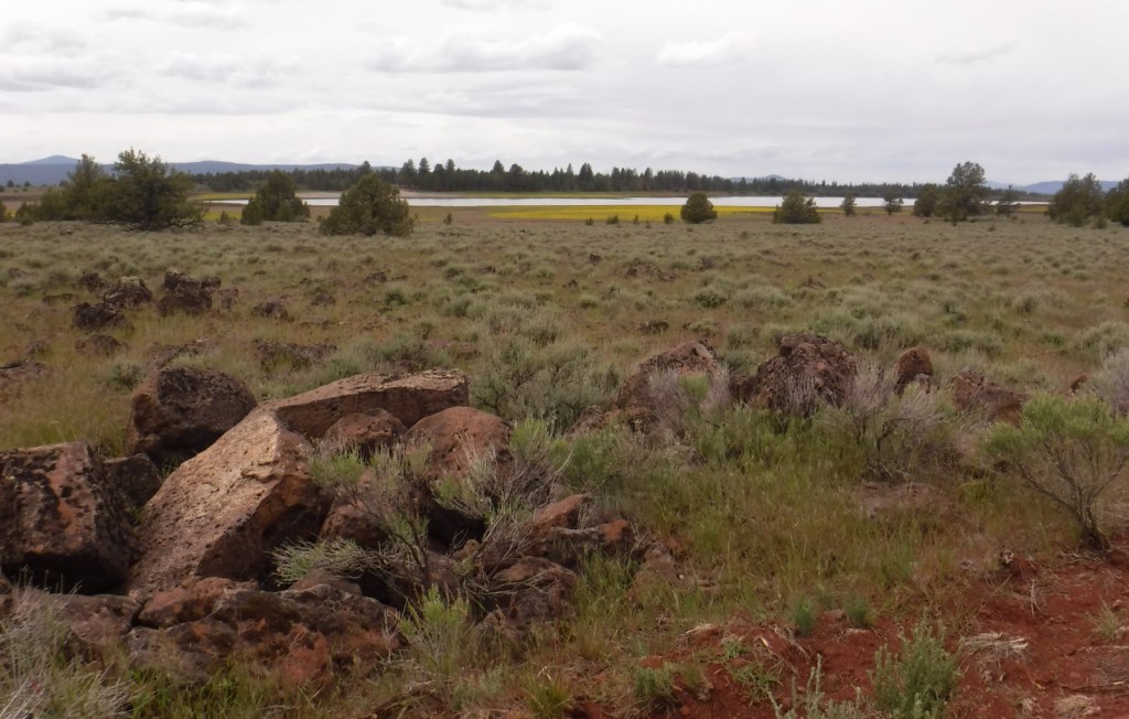
In central Oregon, the sagebrush-dominated high desert is also known as the Oregon Outback because of its rural resemblance to the arid Australian bush.  Fremont National Forest encompasses the wooded mountains that rise to the west above Lake Abert and Summer Lake in the Warner Valley, an important wetland area for wildlife.  In addition, a separate section located to the southeast covers the Warner Mountains and Abert Rim.  The cliffs of Hadley Butte are popular with hang gliders.  The Mitchell Monument honors the six American civilians who lost their lives during World War II when a Japanese balloon bomb exploded after traveling 6,000 miles. 
Highlights

Oregon Outback Scenic Byway, Goodlow Mountain Natural Area, Drake Peak Lookout, North Warner Viewpoint, Abert Rim, Heart Lake, North Fork of Sprague National Wild and Scenic River, Mitchell Monument, Cottonwood Lake, Crane Mountain National Recreation Trail, Fremont National Recreation Trail, Gearhart Mountain Trail

Must-Do Activity

While it is not an official trail, the 4.6-mile out-and-back hike to Coleman Rim does have a good payoff with views of the Chewaucan River Valley.  It is reached by driving nine miles up paved Forest Road 3360 from Highway 140, then turning right for two miles on gravel Forest Road 024 to Shepard Camp Creek.  From there, you start hiking north to the head of Shepard Camp Meadow, while watching for black-tailed deer, sandhill cranes, and the numerous cattle that frequent this area.  At that point, the route starts to gain elevation as it turns east through a forest of ponderosa pine, Sierra white fir, and western white pine trees.  You will likely have to climb over a few downed trees as you navigate toward the rocky Coleman Rim that sits above 7,000 feet in elevation.

Best Trail

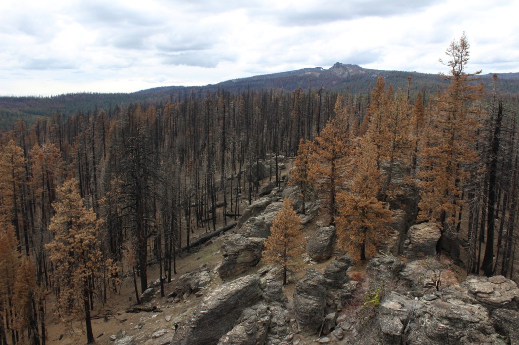
After the Bootleg Fire swept through the area between our 2020 and 2022 visits, it was amazing to see the differences around Gearhart Mountain.  We drove as far up the mountain as we could to Lookout Rock Trailhead, parking at the edge of the Gearhart Mountain Wilderness, walking up the gated road to a fire lookout tower that remained unburnt on its rocky ridgetop.  It was difficult to the follow the official Gearhart Mountain trail because of downed trees and the blanket of dead needles on the forest floor, but it was worth a look around to see the fire’s aftermath (please exercise caution due to the hazards of standing dead trees).  The trail accesses the volcanic Palisade Rocks within one mile from the trailhead.

Watchable Wildlife

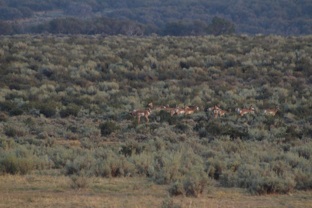
Mule deer, elk, and pronghorns are large ungulates found in Fremont National Forest, sharing habitat with carnivores like black bears, coyotes, mountain lions, and bobcats.  The National Forest borders Summer Lake and several large wetlands that are important stops for migrating birds on the Pacific Flyway.  Commonly seen waterfowl are Canada geese, mallards, and whistling swans, and the elusive northern spotted owl nests in old-growth forests.  There are largemouth bass in the lakes, while streams support several species of trout, including the threatened bull trout. 

Instagram-worthy Photo

Nearly 10,000 Fugo balloons were launched by the Japanese during World War II, but only one caused casualties, killing six American civilians when it exploded on May 5, 1945.  At the Mitchell Monument, you can read their story and see a ponderosa pine tree that still contains shrapnel from the balloon bomb.

Peak Season

Summer

Fees

None

Road Conditions

Paved Highway 140 runs east-west through the heart of the National Forest, while Highway 395 splits a separate southeastern section on the California border.  We found unpaved Forest Road 34 to be full of potholes, but it got better the further east we went towards the Mitchell Monument and Gearhart Mountain.  Even after the 2021 fire, we found Forest Road 3660 to the Coleman Rim to be a good gravel road, while Forest Road 024 was a bit overgrown.

Camping

This is a good National Forest for dispersed camping, but we also passed Corral Creek Campground on our way up to Gearhart Mountain and Cottonwood Recreation Area offers a campground on a lake.  Rentals are available in the summer for the Drake Peak Lookout, Currier Guard Station, and Bald Butte Lookout.

Wilderness Areas

Gearhart Mountain Wilderness

Related Sites

Deschutes National Forest (Oregon)

Winema National Forest (Oregon)

Newberry National Volcanic Monument (Oregon)

Nearest National Park
Crater Lake

Conifer Tree Species

ponderosa pine, western white pine, lodgepole pine, Douglas-fir, Engelmann spruce, white fir, western juniper

Flowering Tree Species

quaking aspen, curlleaf mountain-mahogany, willow, sagebrush

Explore More – The National Forest is named after John C. Fremont who explored this area for the U.S. Army Corps of Engineers and went on to take control of the California Republic (for which he was convicted of mutiny and later pardoned), serve as a U.S. Senator, run twice for President, and then resign while Governor of what U.S. territory?

Learn more about this and the 154 other National Forests in our new guidebook Out in the Woods

We are a participant in the Amazon Services LLC Associates Program, an affiliate advertising program designed to provide a means for us to earn fees by linking to Amazon.com and affiliated sites.

Newberry National Volcanic Monument

Newberry National Volcanic Monument

Oregon

Managed by U.S. Forest Service

Established 1990

54,822 acres

Website: https://www.fs.usda.gov/recarea/deschutes/recarea/?recid=66159

Overview

Newberry National Volcanic Monument was carved from Deschutes National Forest by presidential proclamation in 1990 and here you must purchase a recreation pass to visit.  The main area of development is around Paulina Lake, but short roads off Highway 97 also lead to Lava River Cave and the top of Lava Butte.  Lava River Cave, at 5,211 feet in length, is Oregon’s longest lava tube and one of more than 250 known caves found throughout Deschutes National Forest.  A one-mile interpretive trail enters the Lava Cast Forest, where 6,000 years ago the forms of trees were preserved in lava before burning up.

Highlights

Paulina Lake, East Lake, Paulina Falls, Lava Cast Forest, Paulina Peak, Lava River Cave, Lava Butte, Big Obsidian Flow Trail, Crater Rim Trail, Peter Skene Ogden Trail

Must-Do Activity

Newberry National Volcanic Monument has everything you would expect from a volcanic area: lava tubes, cinder cones, cast trees, and basalt flows.  There are also some things you might not guess, like an 80-foot tall waterfall, two big lakes for boating, forested campgrounds, and two lakeside resorts.  We have seen photos of people soaking in a hot springs on the shore of chilly Paulina Lake, but we are not sure exactly where those are located.

Best Trail

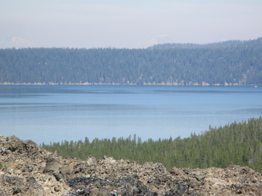
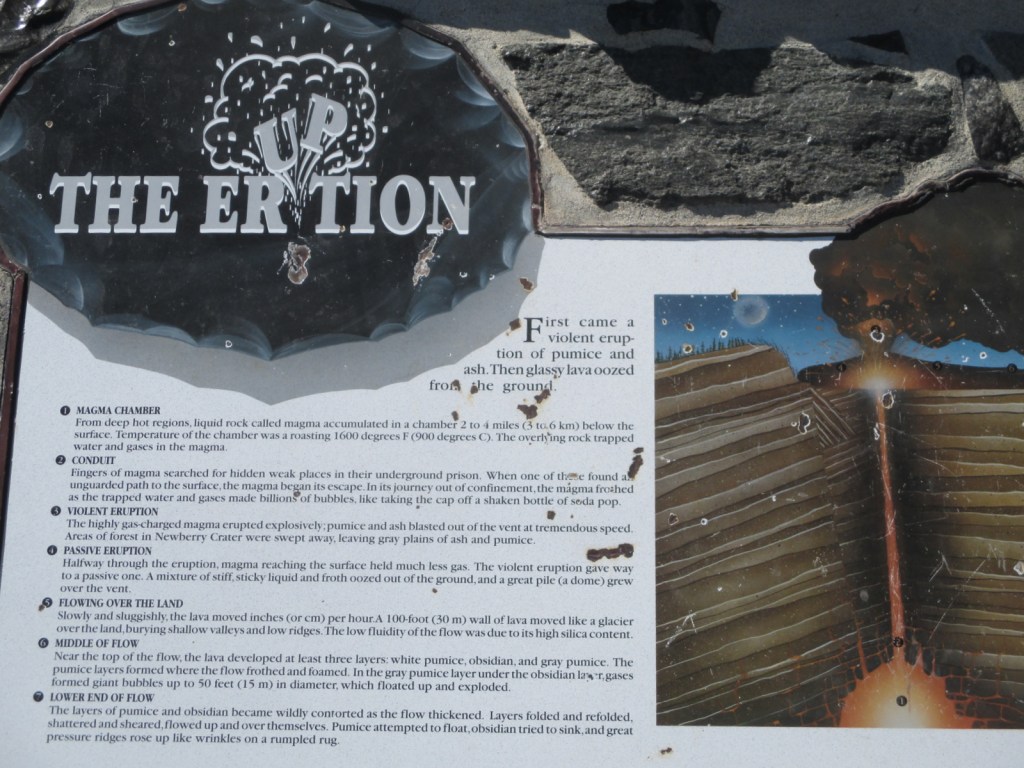
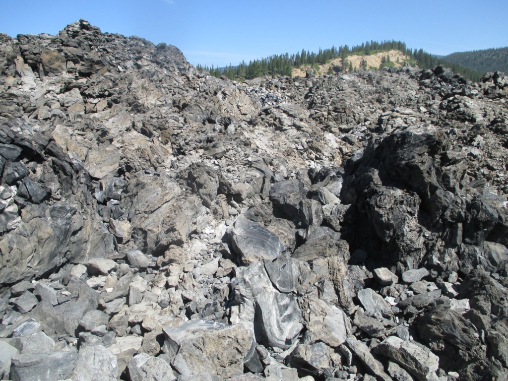
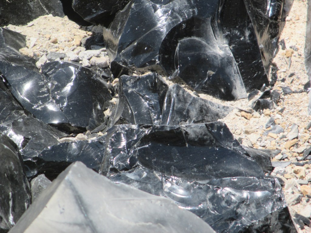
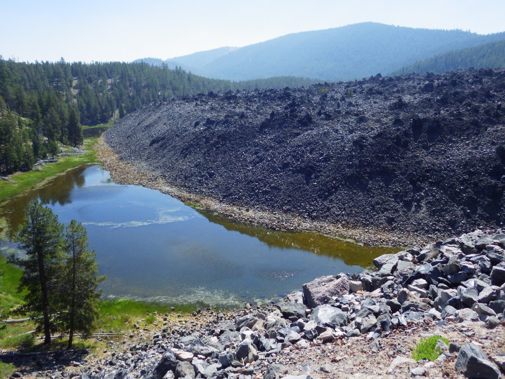
There are a variety of hiking trails in the area, like the 21-mile Crater Rim Trail that circles Newberry Caldera or the one-mile Big Obsidian Flow Trail.  These both offer outstanding views of Paulina Lake or you can drive to the top of 7,984-foot-tall Paulina Peak.  Sharp chunks of obsidian (volcanic glass) mean that you should wear good shoes (not sandals) on the Big Obsidian Flow Trail.  

Instagram-worthy Photo

Lovely Paulina Falls is split into two separate waterfalls off the cliff face on the caldera’s western edge.  The overlook is accessible by a short hike and user trails lead steeply to its base.

Peak Season

Late summer

Fees

$5 daily recreation pass or America the Beautiful pass

Road Conditions

The roads we drove to access Paulina and East Lakes were paved, but there are many other unpaved Forest Service roads in the National Monument.

Camping

One of numerous campgrounds, Little Crater Campground is situated on Paulina Lake, plus there are two lakeside resorts.

Related Sites

Craters of the Moon National Monument and Preserve (Idaho)

Mt. St. Helens National Volcanic Monument (Washington)

Sunset Crater Volcano National Monument (Arizona)

Explore More – What is the name of the popular museum of wildlife and living history located just north of Newberry National Volcanic Monument on Highway 97?

Deschutes National Forest

Deschutes National Forest

Oregon

Managed by U.S. Forest Service, Pacific Northwest Region

1,853,929 acres (1,596,900 federal/ 257,029 other)

Website: https://www.fs.usda.gov/deschutes

Overview

Bend, Oregon is the gateway to Deschutes National Forest, with the beautiful Cascade Lakes Scenic Byway located west of town.  To the south, Newberry National Volcanic Monument is also managed by the U.S. Forest Service, which we will cover in our next blog post.  The Deschutes River was named La Rivière aux Chutes by French trappers because Celilo Falls was located near its confluence with the Columbia River.  Deschutes National Forest contains five Wilderness areas, six National Wild and Scenic Rivers, Metolius Conservation Area, and part of Oregon Cascade Recreation Area (mostly in Umpqua National Forest).

Highlights

Newberry National Volcanic Monument, Cascade Lakes Scenic Byway, Devils Lake, Mt. Bachelor, Sparks Lake, Broken Top, Three Sisters, McKenzie Pass-Santiam Pass Scenic Byway, Skeleton Cave, Pacific Crest National Scenic Trail

Must-Do Activity

The 66-mile-long (89-mile loop) Cascade Lakes Scenic Byway curves around the mountains west of Bend past numerous lakes reflecting multiple snow-capped peaks—a real photographers’ paradise.  To spend the golden hours up here, consider staying at campgrounds on the shores of Lava Lake or Sparks Lake with excellent views of Broken Top and South Sister Peak.  Like Mt. Hood to the north, 9,065-foot Mt. Bachelor is known for its ski resort.  A summer trip up Pine Marten Express Lift offers unsurpassed panoramas of the Cascades and Newberry National Volcanic Monument.

Best Trail

Sisters Mirror Lake is four miles and 650 feet up from a trailhead on the Cascade Lakes Scenic Byway and is located on the Pacific Crest National Scenic Trail.  Just as a warning, this entire trail was thick with aggressive mosquitoes on our hike in mid-July.

Watchable Wildlife

Elk, pronghorn, and mule deer are large ungulates found in Deschutes National Forest.  Carnivorous mammals include black bears, coyotes, mountain lions, and bobcats.  Large birds frequently seen are bald eagles, Canada geese, mallards, and whistling swans, and the northern spotted owl is a species of concern.  There are many lakes found throughout the National Forest that support a variety of gamefish, including bull trout (a threatened species).

Instagram-worthy Photo

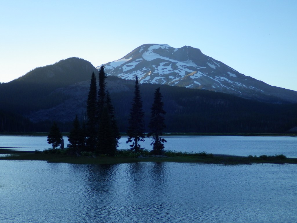
Sparks Lake is a great place to watch the sun set behind the Cascades.

Peak Season

Summer

Fees

There is a day use fee for Newberry National Volcanic Monument.

Road Conditions

Cascade Lakes Scenic Byway is paved, as are the main roads into Newberry National Volcanic Monument, but there are many miles of logging roads to explore, too.

Camping

Campgrounds on the shores of Lava Lake or Sparks Lake provide views of Broken Top and South Sister Peak.  Walk-in campsites on crystal clear Devils Lake offer a bit more secluded experience.

Wilderness Areas

Diamond Peak Wilderness (also in Willamette National Forest)

Mt. Jefferson Wilderness (also in Mt. Hood and Willamette National Forests)

Mt. Thielsen Wilderness (also in Umpqua and Winema National Forests)

Mt. Washington Wilderness (also in Willamette National Forest)

Three Sisters Wilderness (also in Willamette National Forest)

Related Sites

Newberry National Volcanic Monument (Oregon)

Crooked River National Grassland (Oregon)

John Day Fossil Beds National Monument (Oregon)

Nearest National Park

Crater Lake

Conifer Tree Species

ponderosa pine, lodgepole pine, western white pine, sugar pine, western juniper, Douglas-fir, western redcedar, white fir, subalpine fir

Flowering Tree Species

quaking aspen, balsam poplar, Bebb willow

Explore More – The namesake of the Deschutes River (Celilo Falls) is now underwater behind what dam on the Columbia River?

Learn more about this and the 154 other National Forests in our new guidebook Out in the Woods

We are a participant in the Amazon Services LLC Associates Program, an affiliate advertising program designed to provide a means for us to earn fees by linking to Amazon.com and affiliated sites.

Crater Lake National Park

Overview

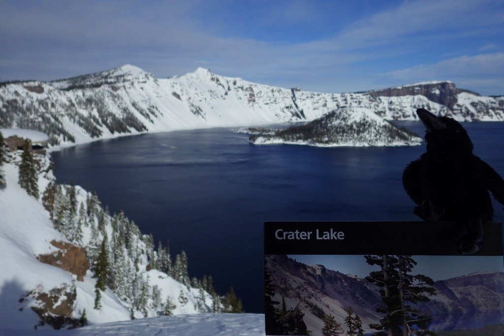
Formed by a cataclysmic volcanic eruption about 8,000 years ago, Crater Lake National Park protects a nearly round caldera about five miles in diameter.  It is the deepest lake in the country at 1,943 feet, which is a major reason why in 1902 it was named the sixth National Park in the U.S.  When we first visited back in July 2010 most of Rim Drive was still closed due to snow, but in July 2014 there was little snow to be found anywhere.

For Learn more in our guidebook to the National Parks, A Park to Yourself: Finding Adventure in America’s National Parks (available on Amazon).

Highlights

Rim Village, Cleetwood Trail, Cloudcap Overlook, Castle Crest Wildflower Trail, Mount Scott

Must-Do Activity

That very first view you get from the rim is so overwhelming that it is worth whatever effort you have to put in to arrive there.  Bring a coat, though, since at this high elevation we are pretty sure it can snow any month of the year.  Crater Lake has no inlets or outlets and its crystal-clear waters were fish free until some were introduced in the early 1900s.  The only way to get on the water is to hike down the steep one-mile Cleetwood Trail to a boat run by a park concessionaire.  Make sure you have purchased your ticket beforehand or you will be hiking back up to get one. 

Best Trail

We enjoyed the short but colorful Castle Crest Wildflower Trail, as well as the Pinnacles Overlook Trail where fossilized fumaroles mimic the conical shape of conifers.

Instagram-worthy Photo

Pictures truly do not do Crater Lake justice, but stop along Rim Drive to get a closer look at Wizard Island and the Phantom Ship, the only two islands that emerge from the lake.

Peak Season

Late summer

Hours

https://www.nps.gov/crla/planyourvisit/hours.htm

Fees

$30  per vehicle or America the Beautiful pass, but no entry fee in winter

Road Conditions

While some roads are closed most of the year, the National Park Service (NPS) plows the main entry road year round.  Bring your snowshoes!

Camping

The NPS manages two campgrounds in summer (although smaller Lost Creek only allows tent camping), or you can head to the neighboring National Forests for developed and dispersed campsites.

Related Sites

Oregon Caves National Monument and Preserve (Oregon)

John Day Fossil Beds National Monument (Oregon)

Mount Rainier National Park (Washington)

This design we created to celebrate Crater Lake National Park is available on a variety of products at Cafe Press and Amazon.

Explore More – What was the name of the vast volcano that existed here before it collapsed nearly 7,700 years ago?

We are a participant in the Amazon Services LLC Associates Program, an affiliate advertising program designed to provide a means for us to earn fees by linking to Amazon.com and affiliated sites.
Nez Perce National Historical Park

Overview

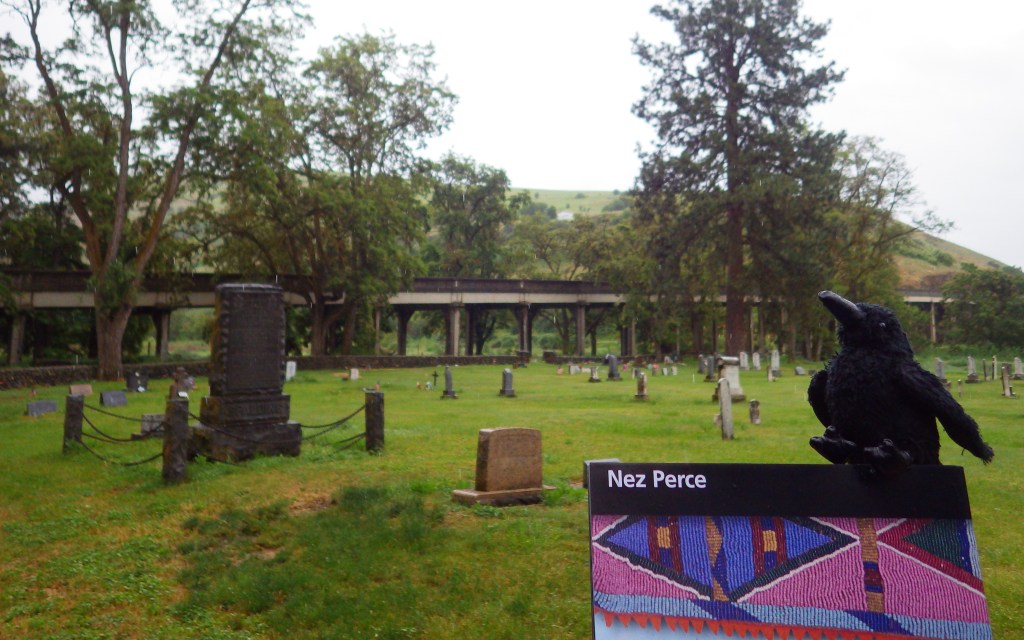
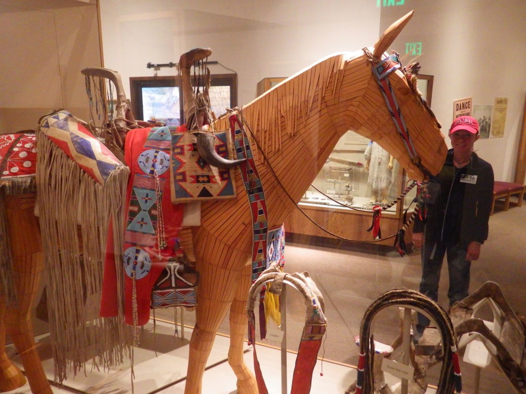
Nez Perce National Historical Park is unique because it comprises 38 sites stretching across four states, not even including an 1877 incident inside Wyoming’s Yellowstone National Park.  Many of the locations (as well as Big Hole National Battlefield) cover the War of 1877, when a portion of the tribe fled more than 1,000 miles from Oregon towards the Canadian border only to be stopped 40 miles short by the U.S. Army at Bear Paw Battlefield in Montana.  Under the leadership of legendary Chief Joseph they crossed the Rocky Mountains at Lolo Pass, made famous by the Lewis and Clark Expedition that the tribe assisted in 1805.

Highlights

Museum, film, Heart of the Monster, Lolo Pass, Bear Paw Battlefield

Must-Do Activity

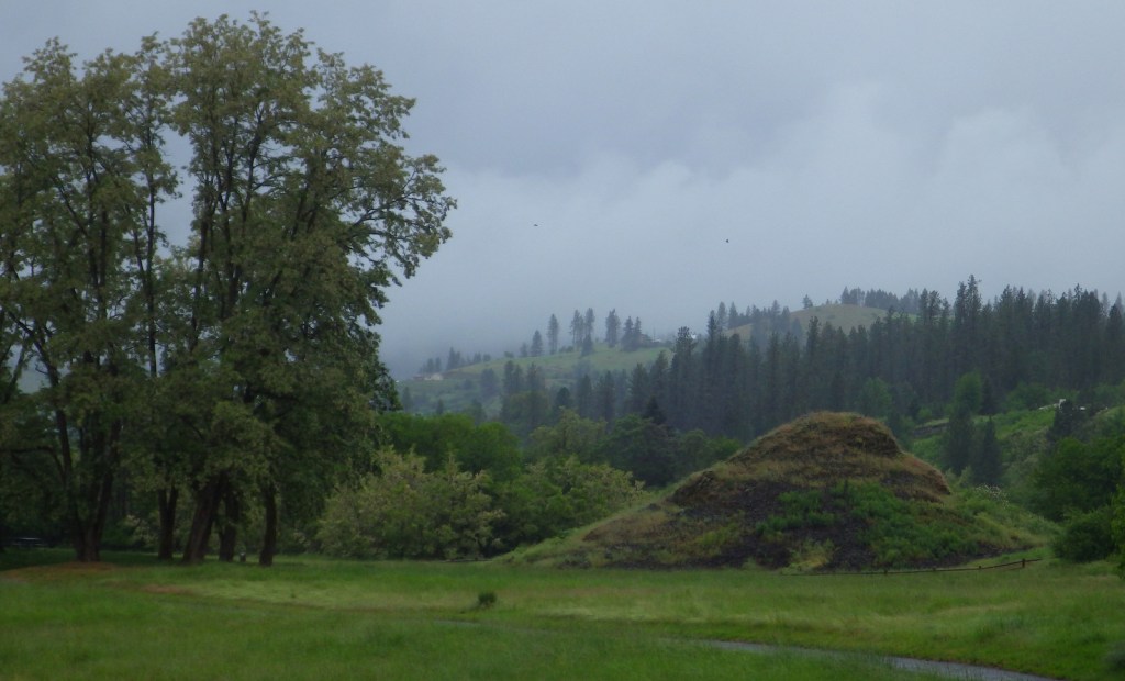
The main National Park Service (NPS) visitor center is in Spalding, Idaho on the Nez Perce Indian Reservation where the “heart of the monster” resides.  According to legend, after Coyote slew the monster that inhaled all the people, its heart and liver came to rest on the banks of the Clearwater River.  This park is also unique because the Nez Perce remain an active tribe with a strong sense of community, as documented in the excellent new film at the visitor center.  Highway 12 follows the beautiful Clearwater River through northern Idaho and provides access points for the unpaved Lolo Motorway (a section of the Nez Perce National Historical Trail) and its many scenic overlooks.
Best Trail

Nez Perce National Historical Trail stretches 1,170 miles from Oregon to Montana, ending at the NPS site at Bear Paw Battlefield where a five-day fight finally led to the tribe’s surrender in October 1877.

Instagram-worthy Photo

At a roadside pullout on Highway 95 in Idaho, the NPS interprets White Bird Battlefield where 34 U.S. Army soldiers were killed on June 17, 1877 escalating the U.S. government’s conflict with the Nez Perce into a war.

Peak Season

Summer

Hours

https://www.nps.gov/nepe/planyourvisit/hours.htm

Fees

None

Road Conditions

Most of the major roads are paved, with the notable exception of the Lolo Motorway which requires a high clearance vehicle (and four-wheel drive on its western end).

Camping

There are camping opportunities ranging from dispersed to developed located throughout Clearwater, Nez Perce, and Wallowa-Whitman National Forests.

Related Sites

Big Hole National Battlefield (Montana)

Grant-Kohrs Ranch National Historic Site (Montana)

Whitman Mission National Historic Site (Washington)

Explore More – After the 1863 “Steal Treaty” reduced the Nez Perce Reservation by 90%, what was the 1887 federal law that allowed another 90% to end up in white ownership?