Overview
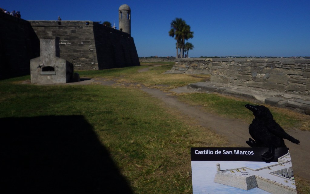
Established in 1565, St. Augustine, Florida is the oldest permanent European settlement in the continental U.S. Its centerpiece is Castillo de San Marcos National Monument, a four-sided stone fort dating back to 1672. In 1702, the British army unsuccessfully besieged the Spanish fort for 50 days, but before they left they burned the entire city. This explains why the oldest house in St. Augustine dates to this time period and why this charming coastal village is still laid out on a grid of narrow streets, as it was one of the first master-planned communities in America.
Highlights
Historic fort, museum, cannon demonstrations
Must-Do Activity
The National Park Service (NPS) charges an admission fee to enter the fort, but you can watch the cannon-firing demonstrations atop its corner bastion for free from outside. Costumed reenactors shout orders in Spanish before firing the big cannon. There is only one entrance to the Castillo de San Marcos across a wide moat. Your entrance fee also allows you to explore the powder magazines and interpretive displays inside the fort’s walls.
Best Trail
None
Instagram-worthy Photo
The Castillo was renamed Fort Marion by the U.S. military in 1825, when the final changes were made to the coquina structure. In 1924 it was named a National Monument along with nearby Fort Matanzas.

Peak Season
Winter
Hours
https://www.nps.gov/casa/planyourvisit/hours.htm
Fees
$15 per person or America the Beautiful pass
Road Conditions
Roads are paved, but there is limited pay parking at the fort, which is especially an issue on busy weekends.
Camping
Anastasia State Park is located just south of St. Augustine, Florida with access to a nice beach.
Related Sites
Fort Caroline National Memorial (Florida)
Fort Matanzas National Monument (Florida)
Dry Tortugas National Park (Florida)

Tiff on the drawbridge entrance to fort 
Inside the Castillo 
Tiff with cannon 
Cannon detail 
Scott in the powder magazine 
Redcoats representing the short British occupation 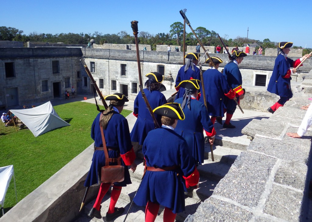
Costumed volunteers preparing to fire the cannon 
Cannon firing by costumed volunteers 
Some of the different projectiles shot from cannons 
Looking towards St. Augustine, Florida which celebrated its 450th birthday in 2015
Explore More – Which nation controlled the fort during the American Revolution until its conclusion in 1783 (Hint: It was called Fort St. Mark at the time)?