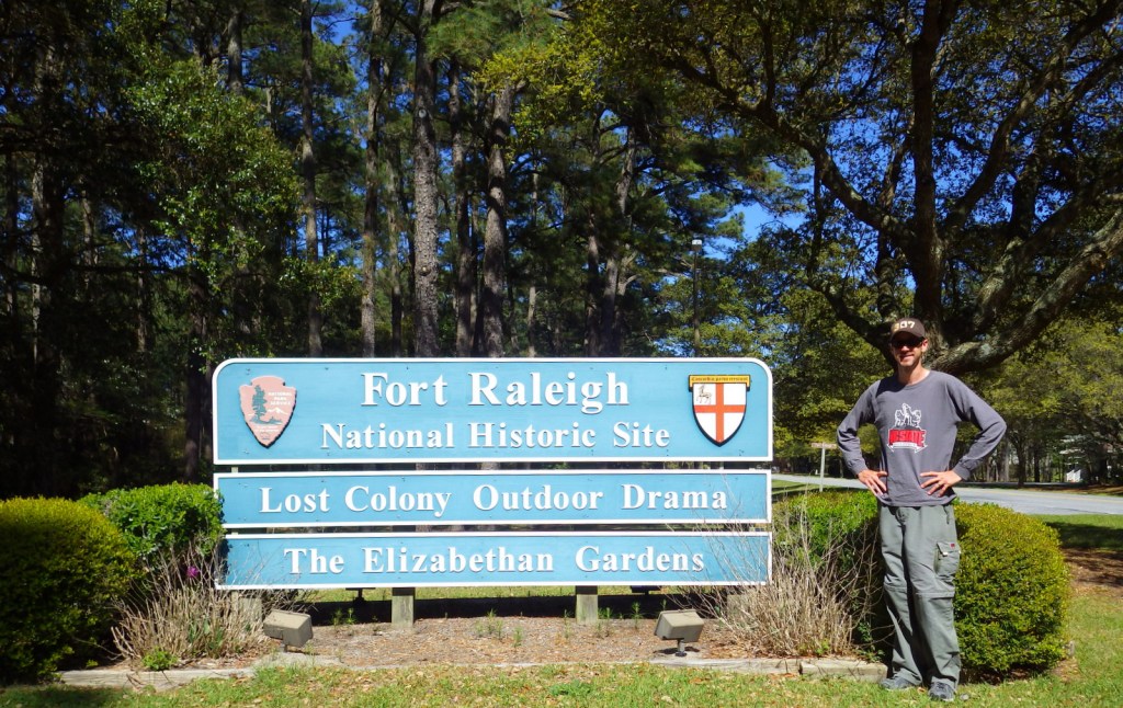
Overview
In Manteo, North Carolina, the Outer Banks islands protect Albemarle Sound, where Roanoke Island can be found. If that name sounds familiar, it is because it was here that Fort Raleigh became the first English settlement in North America. First scoped out in 1584, its original inhabitants all left with Sir Francis Drake after supply ships failed to arrive. The 117 colonists that came in 1587 actually wanted to settle further north on Chesapeake Bay, but their captain left them here instead. John White soon sailed back to England to get aid, but an ongoing war with the Spanish Armada kept him away until 1590. Upon his return he found the fort deserted, the buildings stripped, and a fencepost marked “CROATOAN” (the name of nearby island). White was thwarted in his attempt to land on Croatoan Island by a hurricane, so to-this-day nobody knows the true fate of the colonists.
Highlights
Museum, site of first British colony in America, Lost Colony Outdoor Drama
Must-Do Activity
The National Park Service museum has excellent displays, including the videos of Sir Walter Raleigh (the fort’s namesake) in the Elizabethan Room. It offers all the theories on happened to the settlers so visitors can decide what they believe. “The Lost Colony” did lend its name to an outdoor musical performed most nights throughout the summer within the boundaries of Fort Raleigh National Historic Site.
Best Trail
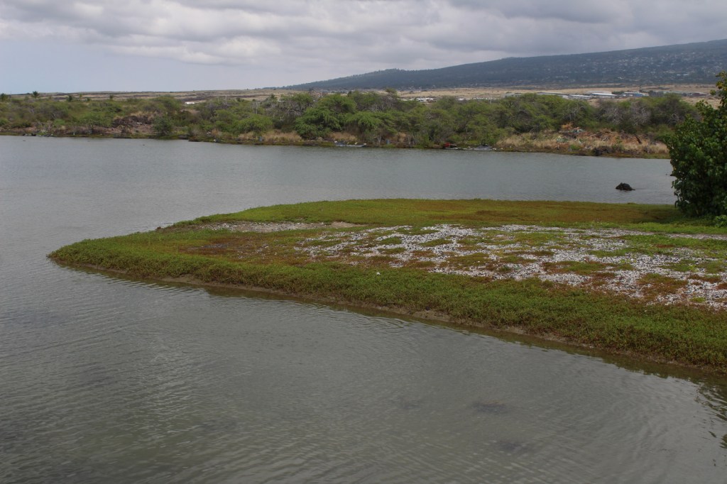
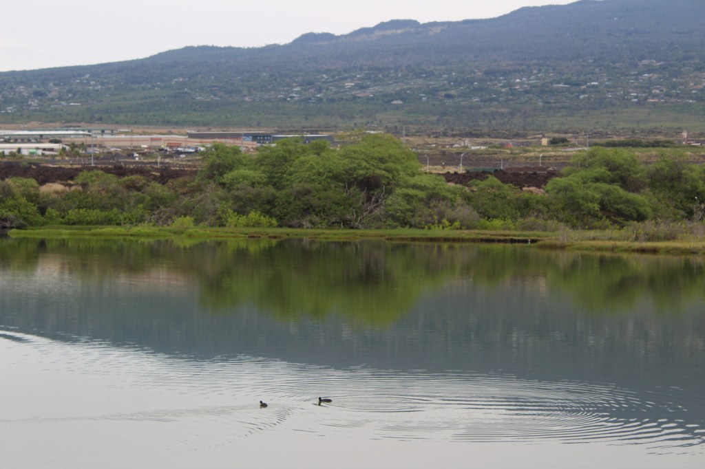
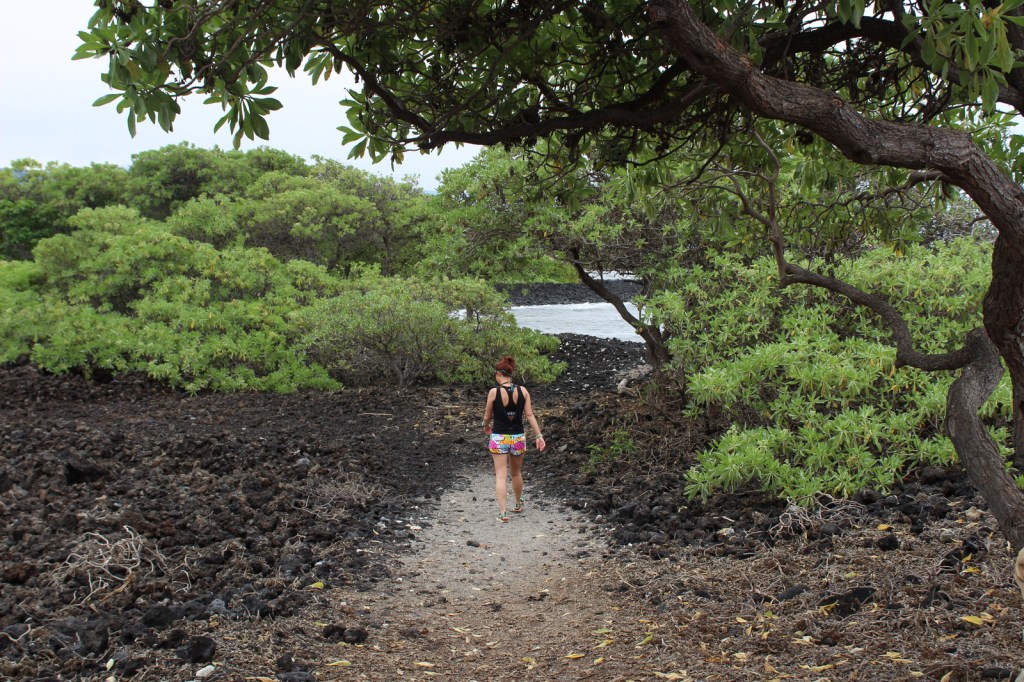
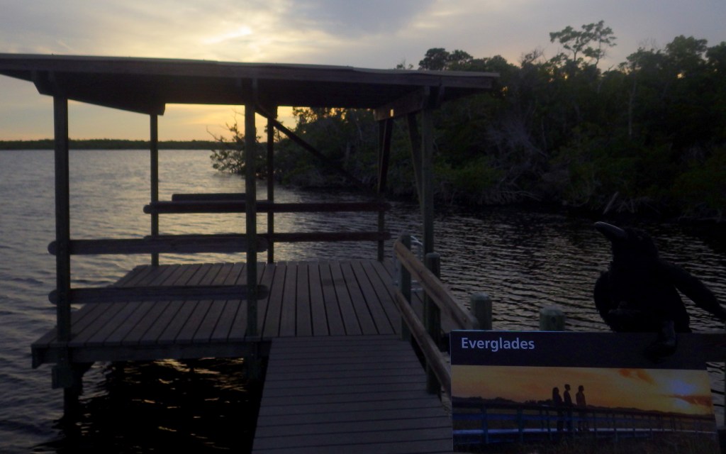
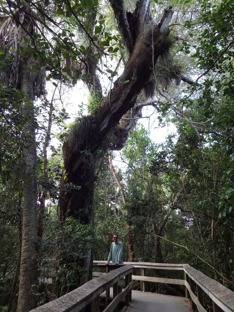
The Thomas Hariot Nature Trail provides views of the reconstructed earthen fort, musical theater, and Albemarle Sound. Hariot was a scientist who searched Roanoke Island in 1585 for precious metals and made drawings of the local flora and fauna.
Instagram-worthy Photo
Waterside Theatre has hosted the outdoor symphonic play “The Lost Colony” every summer since 1937.

Peak Season
Summer beach season when the musical theater has performances
Hours
https://www.nps.gov/fora/planyourvisit/hours.htm
Fees
None, except for tickets to the Lost Colony Outdoor Drama. Admission is also charged at the adjacent Elizabethan Gardens.
Road Conditions
All roads paved.
Camping
There is a private campground nearby, but we recommend you reserve a campsite near the beach within beautiful Cape Hatteras National Seashore.
Related Sites
Cape Hatteras National Seashore (North Carolina)
Wright Brothers National Memorial (North Carolina)
Colonial National Historical Park (Virginia)

Scott inside of a Elizabethan Room at Fort Raleigh 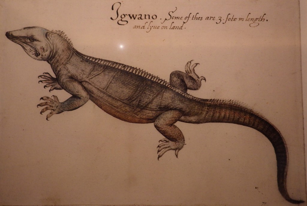
Iguana drawing by Thomas Hariot 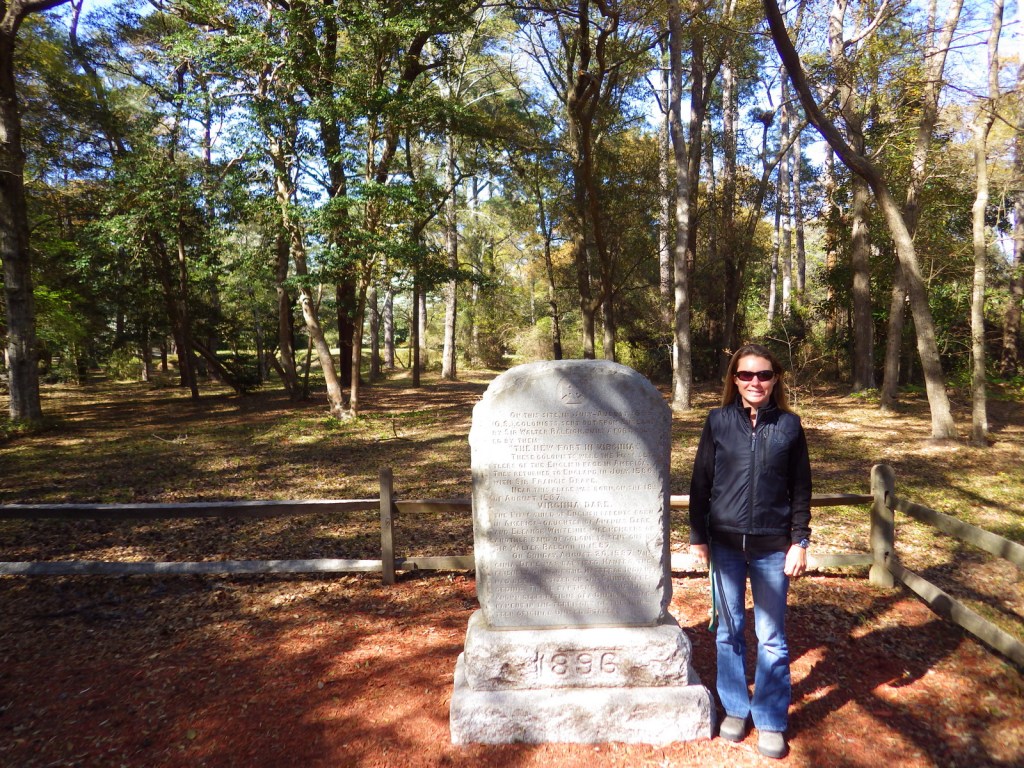
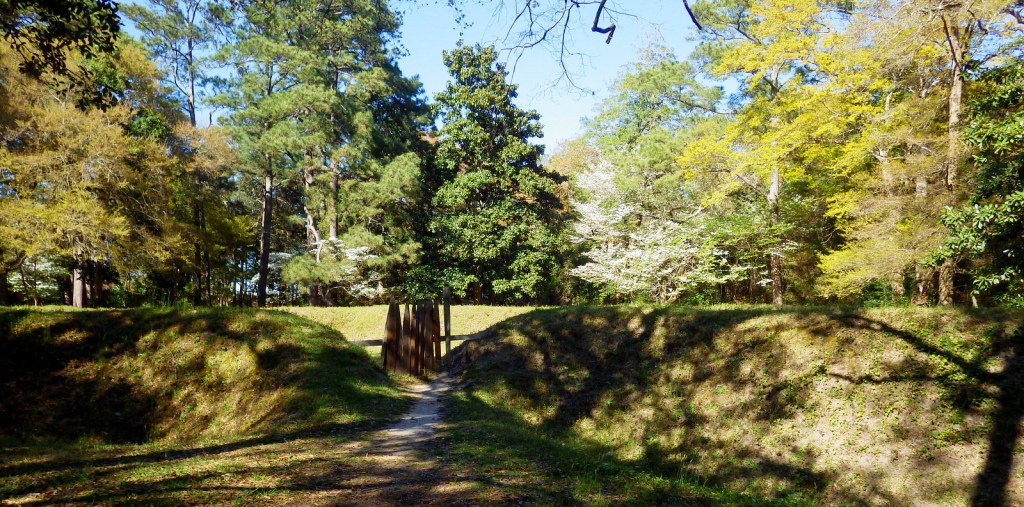
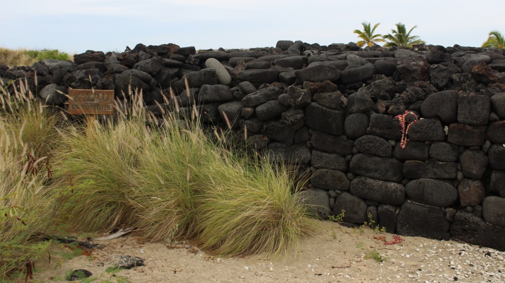
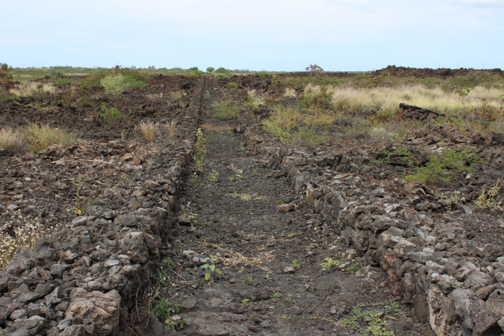
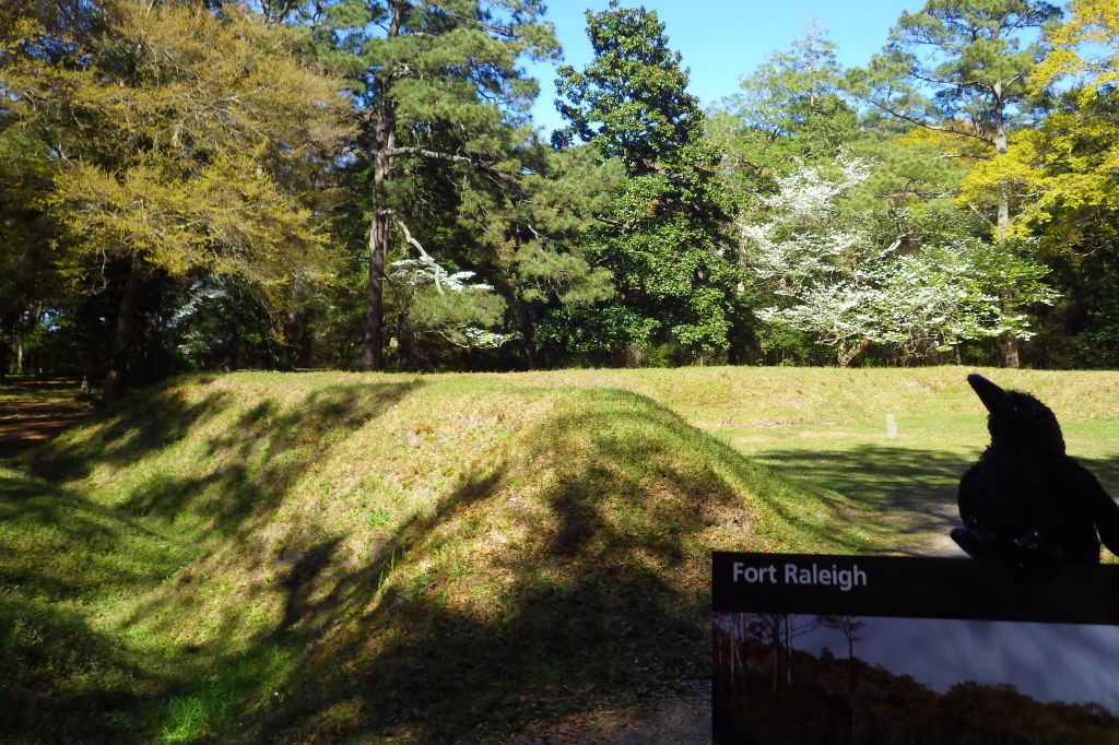
The reconstructed border of Fort Raleigh 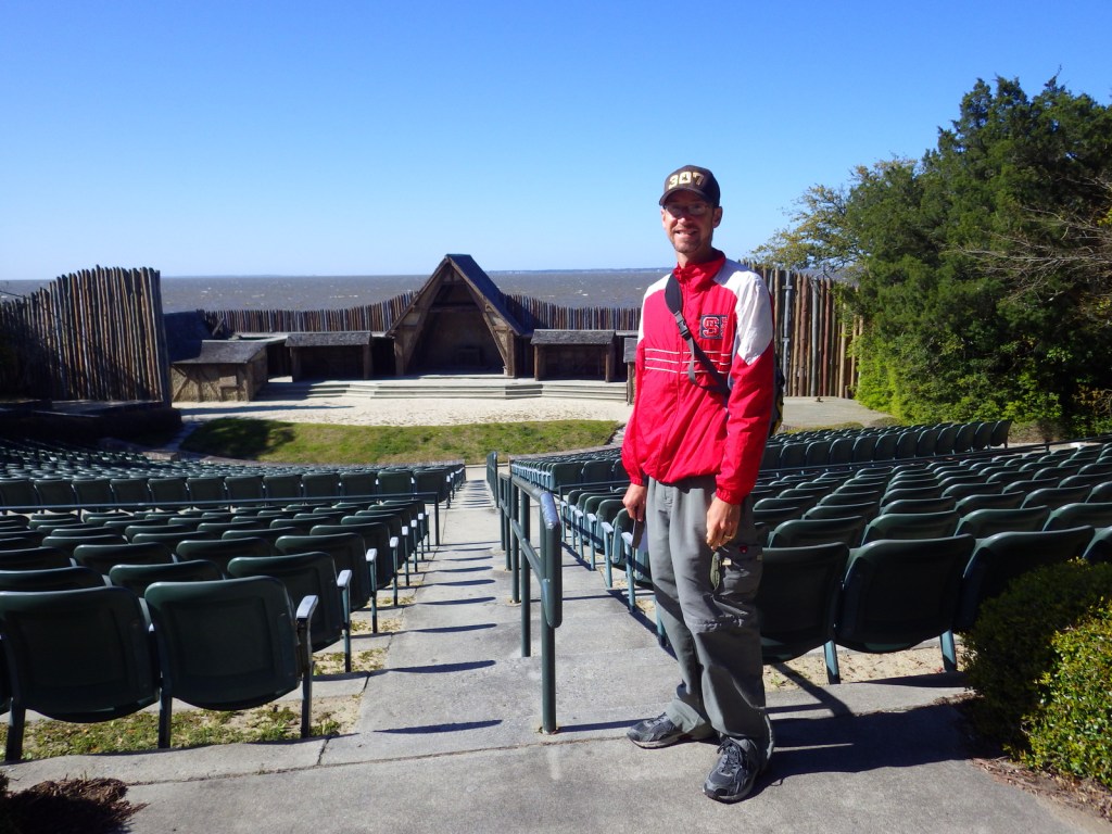
Scott at the outdoor drama theater that plays in the summer at Fort Raleigh 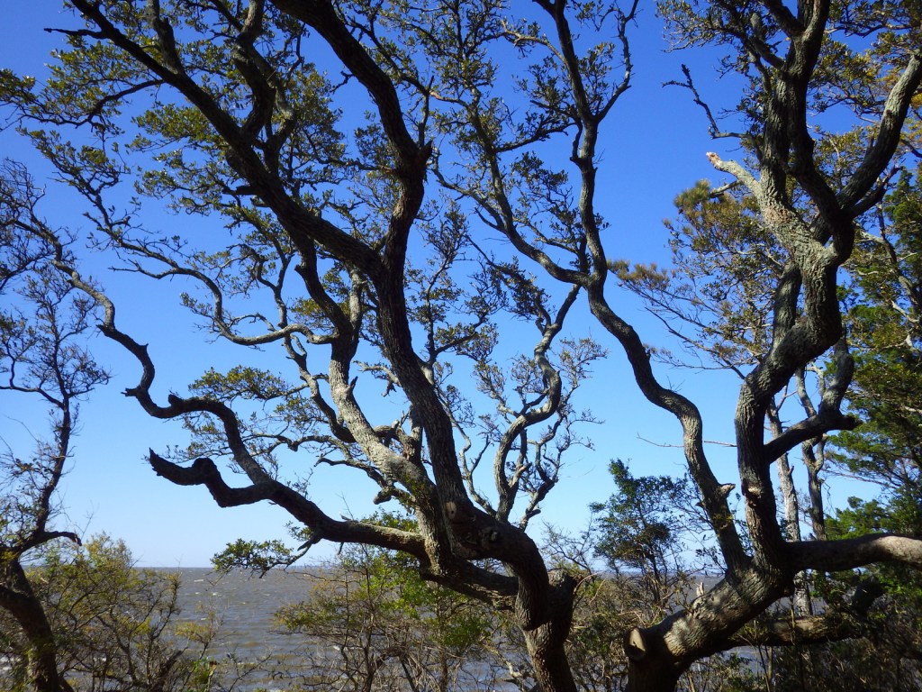
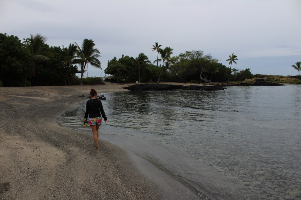
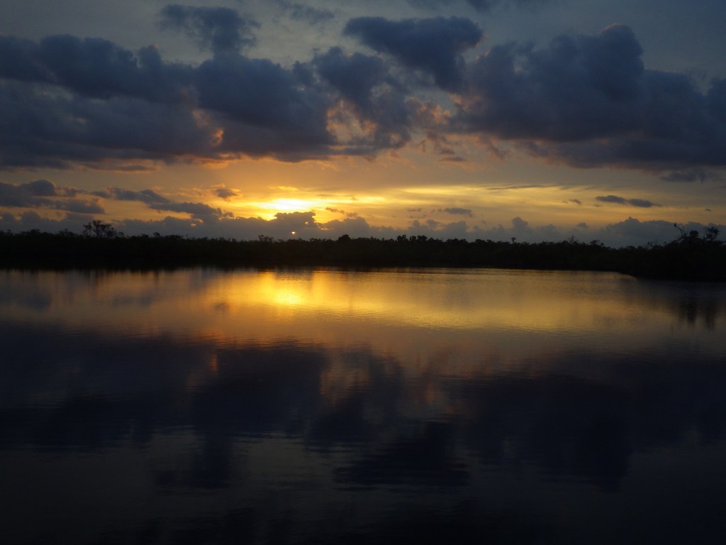
A view of Albermarle Sound 
Dogwood flowers 
Scott in the nice visitor center museum 
What do you think happened to the settlers?
Explore More – What was the name of the baby girl born at Fort Raleigh, famous as the first child born of English parents in the Americas?