Overview
The base of the Davis Mountains is the wonderfully scenic setting for Fort Davis National Historic Site, originally active from 1854 to 1891. It was manned by U.S. troops except after Texas seceded during the Civil War, which is ironic given that it was named for Jefferson Davis. Confederate forces obviously saw this as enough reason to occupy the remote frontier fort for a year. The park preserves its 1867 layout, when the fort was rebuilt following five years of abandonment.

Highlights
Museum, film, historic buildings, Davis Mountains State Park
Must-Do Activity
After the Civil War, Fort Davis became famous for posting African-American “Buffalo Soldiers.” Maybe this is why they chose to cast 7-foot-2-inch tall Kareem Abdul-Jabbar as the cowboy hat-wearing narrator of the park’s introductory film. That in-and-of-itself is worth the price of admission. The dry Chihuahuan Desert air has preserved the 21 remaining buildings well. Throughout the day, bugle calls on the loudspeaker will hearken you back to frontier days.
Best Trail
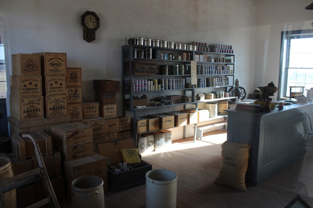
A self-guided trail leads around the 523-acre property and enters six buildings: the commanding officer’s quarters, lieutenants’ quarters, barracks, commissary, hospital, and officers’ servants’ quarters. There are other trails here and in neighboring Davis Mountains State Park, but be aware that the fort sits at 4,900 feet of elevation.
Instagram-worthy Photo
The morning we visited, mule deer were feeding on the lawn in front of the restored buildings.

Peak Season
Summer
Hours
https://www.nps.gov/foda/planyourvisit/hours.htm
Fees
$10 per person or America the Beautiful pass
Road Conditions
Access roads paved
Camping
If you enjoy spending time at this beautiful spot, consider camping in adjacent Davis Mountains State Park, which offers good stargazing.
Related Sites
Guadalupe Mountains National Park (Texas)
Carlsbad Caverns National Park (New Mexico)
Big Bend National Park (Texas)

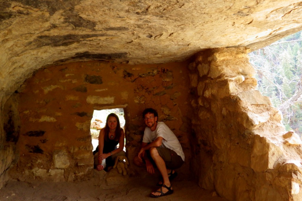
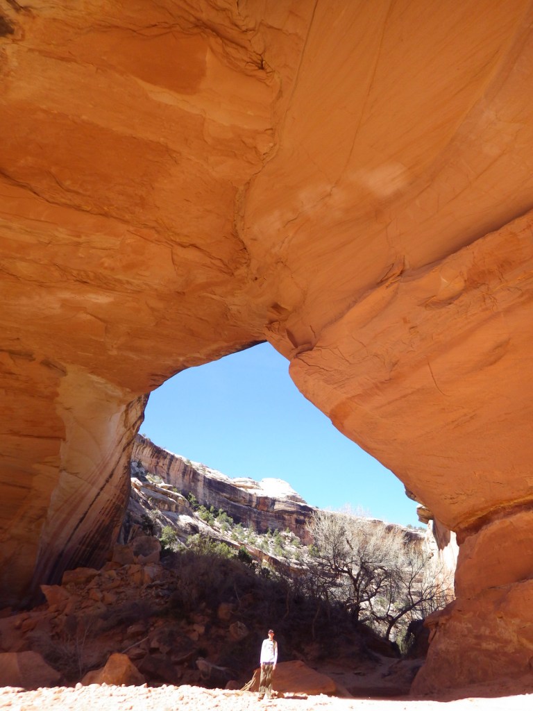
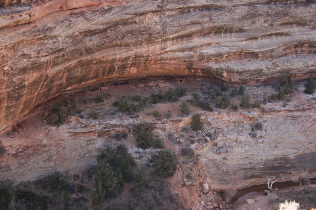
Shelters like this one were built by Native Americans in the Chihuahuan Desert. 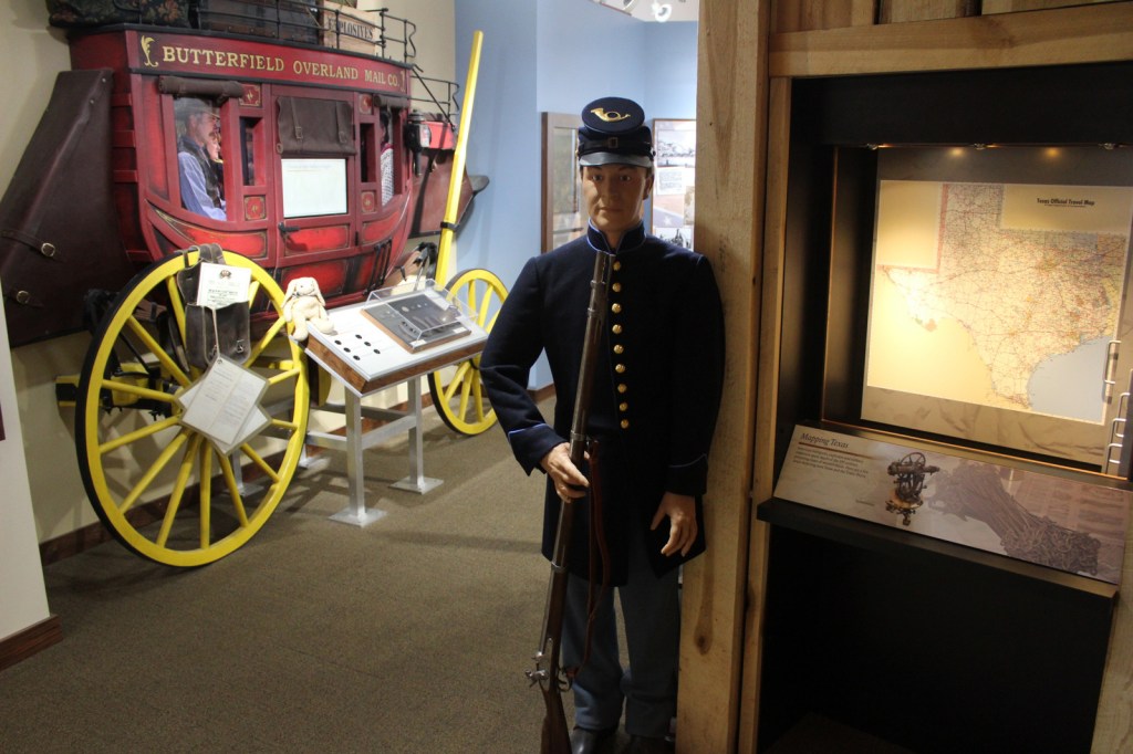
The museum is well done and it is air-conditioned, which is important in the summer. 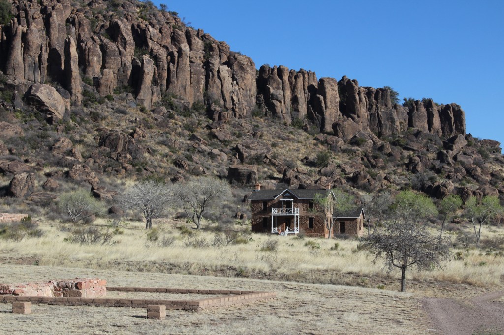
The Davis Mountains provide a wonderful background for Fort Davis. 


Time has taken its toll on some of the brick buildings at Fort Davis. 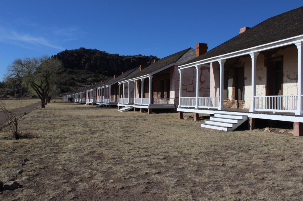


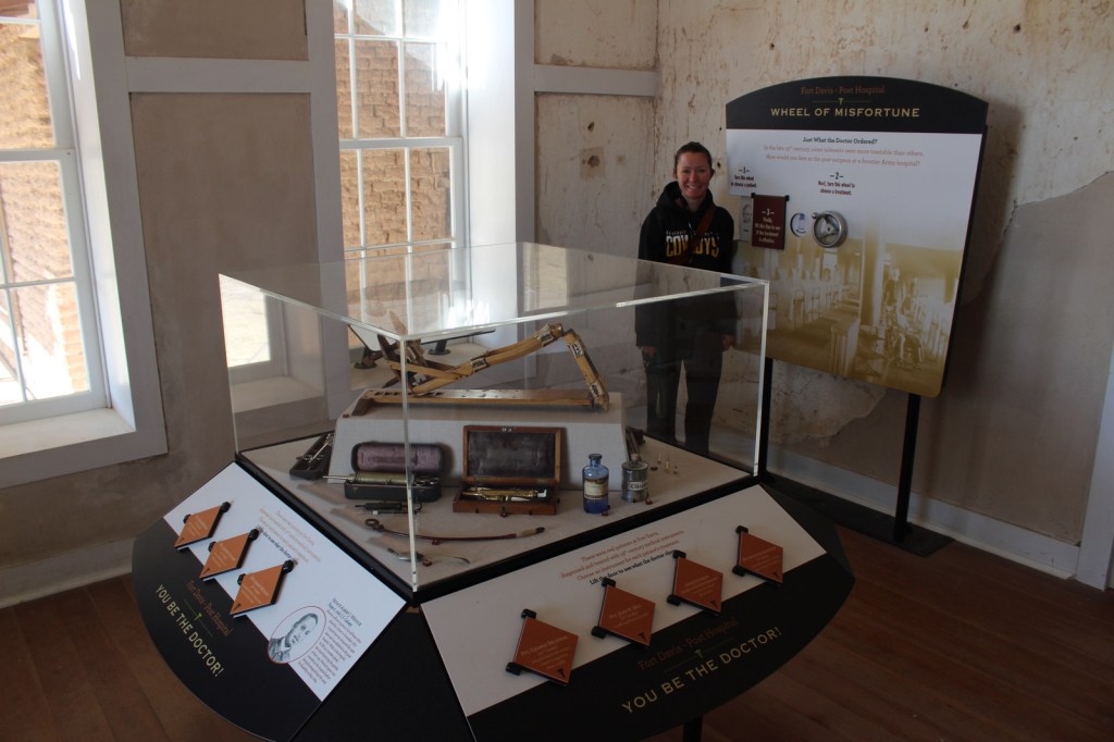
Spin the “Wheel of Misfortune” in the hospital 

Quail about the park
Explore More – Who was the first black graduate of West Point military academy briefly stationed here (before a controversial court-martial later overturned in 1976)?