Tag Archives: Native American

Montezuma Castle National Monument

Overview

Central Arizona’s Montezuma Castle was one of the first four National Monuments established by President Theodore Roosevelt in 1906.  Conveniently accessible just off Interstate 17 on the way to Sedona or the Grand Canyon, it is a great place to stretch your legs after the 90-minute car ride from Phoenix.  Located in the scenic Verde River Valley, it is one of several sites related to the Sinagua people managed by the National Park Service (also see Walnut Canyon, Tuzigoot, and Wupatki).

Highlights

Cliff dwelling, Montezuma Well

Must-Do Activity

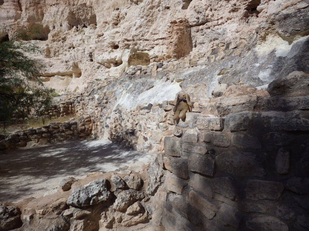
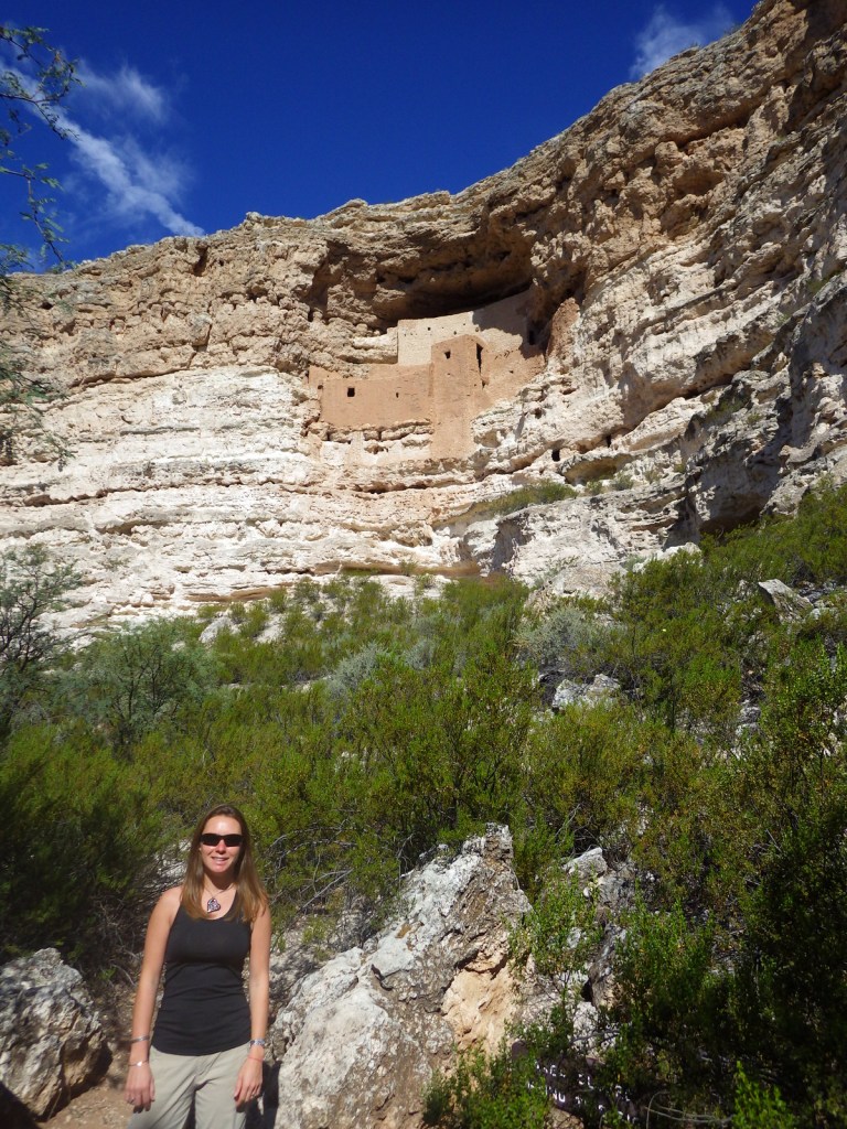
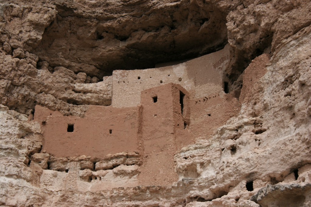
Protected in a cliff recess above Beaver Creek, the five-story tall ruin is not accessible to tourists and can only be viewed from below.  Its name “Montezuma” refers to the mistaken belief that it was somehow connected to the Aztec Empire of Mexico, but its inhabitants had more in common with the Sinagua people living in around Arizona in the 1400s.  Continue on the paved walkway to the ground-level ruins of Castle A and views of Beaver Creek.

Best Trail

To investigate a separate unit of Montezuma Castle National Monument, drive 11 miles north to Montezuma Well, a limestone sinkhole filled by a natural spring that produces 1.5-millions gallons of 74°F water daily.  The trail is only a half-mile long loop, but it is worth the trip to see the historic irrigation ditches and the 55-foot deep sinkhole.

Instagram-worthy Photo

It is unclear why the Sinagua people abandoned the cliff dwelling around 1425, but it may have been due to disease, drought, or climate change.  There were 35 to 50 inhabitants of Montezuma Castle and even more at Castle A, which had approximately 50 rooms.
Peak Season

Summer

Hours

https://www.nps.gov/moca/planyourvisit/hours.htm

Fees

$10 per person or America the Beautiful pass; Montezuma Well is free

Road Conditions

Access roads are paved.

Camping

There is no campground at the National Monument, but many located within massive Coconino National Forest, which also allows dispersed camping.

Related Sites

Tuzigoot National Monument (Arizona)

Tonto National Monument (Arizona)

Sunset Crater Volcano National Monument (Arizona)
Explore More – In what year did the National Park Service stop allowing visitors to climb ladders to walk inside Montezuma Castle?
Yucca House National Monument

Overview

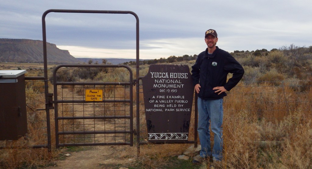
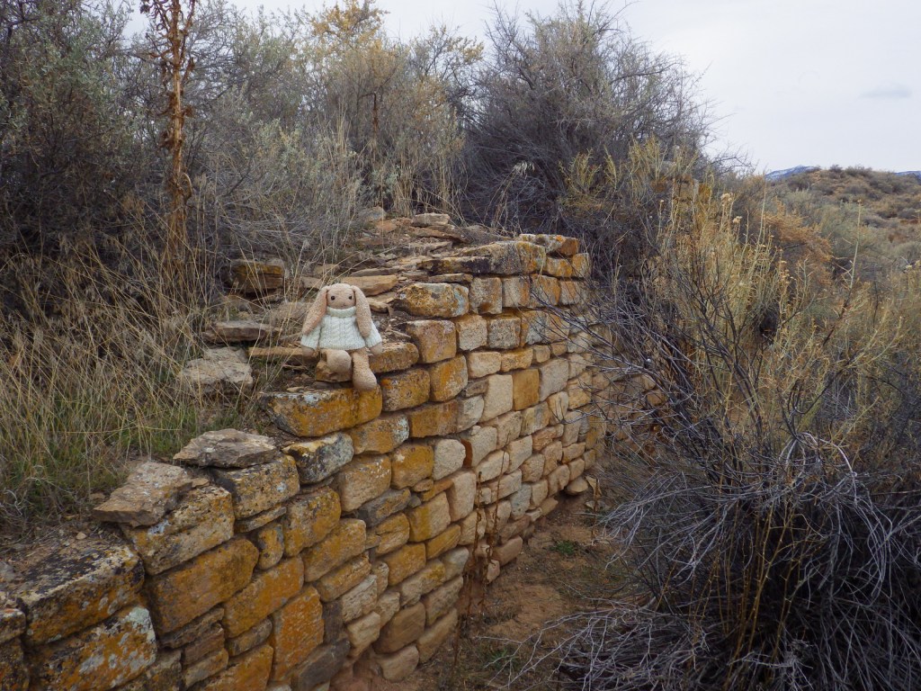
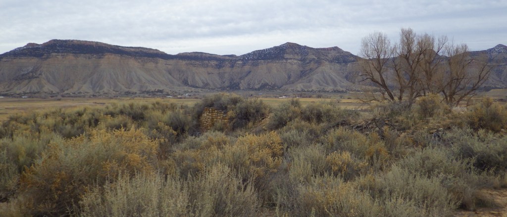
Yucca House National Monument was established in 1919 outside Cortez, Colorado.  It is not far from Mesa Verde National Park, which has information about the National Monument at its visitor center on Highway 160.  The 34-acre site protects an unexcavated pueblo abandoned around 1300, so there is very little to see above ground.  The fact that there is public access at all is thanks to the ranching family that allows visitors to park in what is basically their driveway.

Highlights

Unexcavated pueblo, Canyons of the Ancients National Monument visitor center

Must-Do Activity

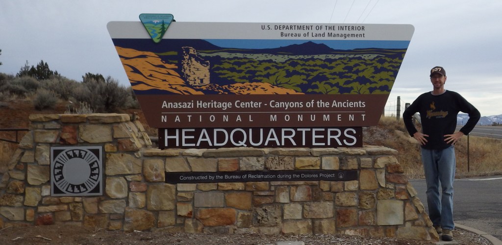
Unless you aim to visit every unit in the National Park Service (NPS) system, you are better off spending your time taking an extra tour or hike at Mesa Verde National Park.  There are no facilities and there is not much to see at Yucca House, but there are many interesting Ancestral Puebloan ruins within nearby Canyons of the Ancients National Monument, which is run by the Bureau of Land Management (BLM).  They have a large visitor center in Dolores, Colorado where you can get directions to archaeological sites, such as Painted Hand Pueblo.

Best Trail

Sand Canyon Trail lies within Canyons of the Ancients National Monument and its southern trailhead is located just off paved County Road G.  The trail provides access to numerous archaeological sites; just remember to leave everything where you found it.

Instagram-worthy Photo

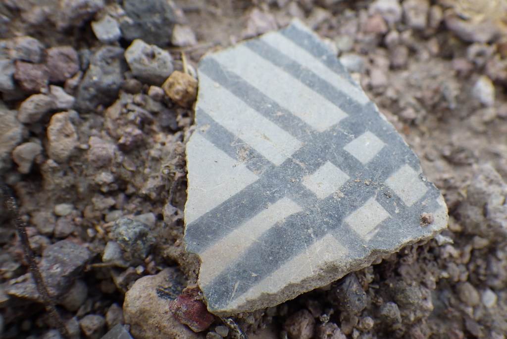
The most interesting unexcavated pueblo we have visited is Posi-Ouinge, which is accessible by a short trail from Ojo Caliente Hot Springs Resort in New Mexico.  The ground there is littered with thousands of pot shards, many with painted designs still visible.

Peak Season

Summer

Hours

https://www.nps.gov/yuho/planyourvisit/hours.htm

Fees

None

Road Conditions

The access road is well-maintained dirt.

Camping

Dispersed camping is allowed in parts of nearby Canyons of the Ancients National Monument, which is run by the BLM.

Related Sites

Mesa Verde National Park (Colorado)

Hovenweap National Monument (Utah-Colorado)

Chaco Culture National Historical Park (New Mexico)

Explore More – Why did the Bureau of Land Management change the name of their visitor center in Dolores, Colorado from Anasazi Heritage Center?

Fort Caroline National Memorial

Overview

After a failed settlement by persecuted French Protestants (Huguenots) in 1562, two years later a group of 200 soldiers, artisans, and a few women established a colony at the mouth of the St. Johns River (east of present-day Jacksonville, Florida).  Led by René de Goulaine de Laudonnière, they hurriedly assembled the triangular Fort Caroline, named for King Charles IX.  In 1565, Jean Ribault arrived with 600 more settlers and soldiers.  After learning the Catholic Spanish had established a base to the south at St. Augustine, Ribault set sail for a surprise attack, only to be shipwrecked by a hurricane.  The unprotected Fort Caroline was easily captured by the Spanish, who executed 140 of its 200 inhabitants.  The Spanish then killed the majority of the 250 French marooned at Matanzas Inlet, which gained its name from these “slaughters.”

Highlights

Museum, reconstructed fort, Hammock Trail, Ribault Monument

Must-Do Activity

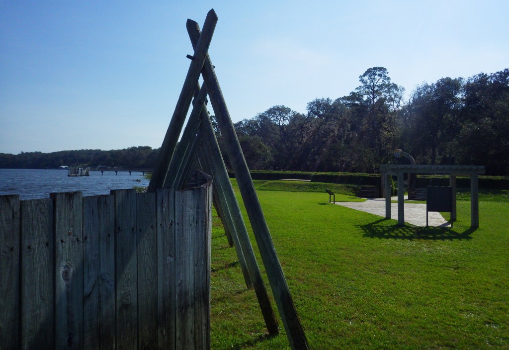
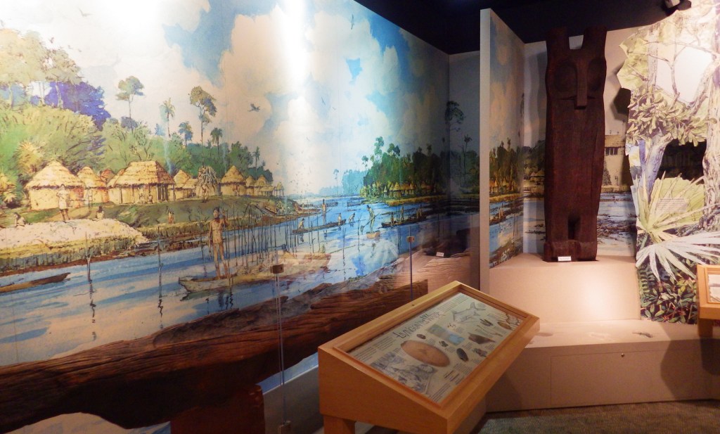
The National Park Service (NPS) administers Fort Caroline National Memorial (established in 1950) as a unit of Timucuan Ecological and Historic Preserve (established in 1988).  Start your visit at the NPS museum, which provides information on the indigenous Timucuan, as well as the European colonization efforts.  After walking the Hammock Trail to see the reconstructed fort, drive to the nearby Ribault Monument, a replica of a stone column left by Jean Ribault at the mouth of the St. Johns River on May 2, 1562.

Best Trail

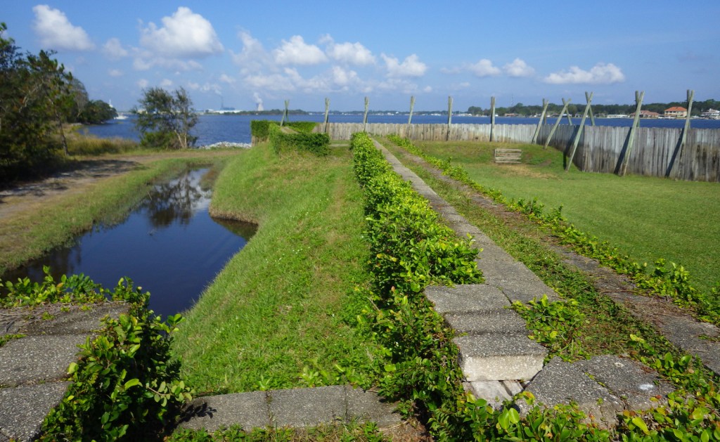
Within this 139-acre National Memorial, the Hammock Trail visits the reconstructed fort along the St. Johns River.  Starting from two parking lots south of Fort Caroline Road several trails explore Spanish Pond and the Theodore Roosevelt Area of Timucuan Ecological and Historic Preserve.

Instagram-worthy Photo

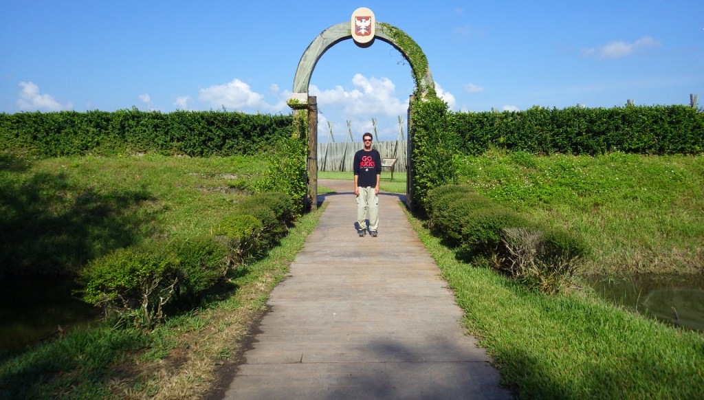
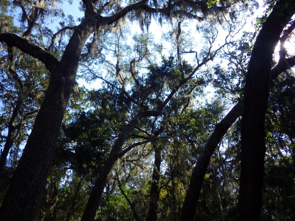
The actual site of the original fort has never been found (and is probably underwater), but you can tour a one-third scale reconstruction of the triangular structure based upon a drawing from 1564 by French artist Jacques le Moyne.  The French got a measure of revenge in 1568 when they attacked and burned Spanish-controlled Fort Caroline, but they could not take St. Augustine and never colonized Florida again.

Peak Season

Winter when there is less mosquito activity.

Hours

https://www.nps.gov/timu/learn/historyculture/foca_visiting.htm

Fees

None

Road Conditions

All roads paved

Camping

Little Talbot Island State Park and Kathryn Abbey Hanna Park (run by the city of Jacksonville) both have campgrounds.

Related Sites

Timucuan Ecological and Historic Preserve (Florida)

Castillo de San Marcos National Monument (Florida)

Fort Matanzas National Monument (Florida)

Explore More – When the Spanish took control of Fort Caroline in 1565, what did they rename it?

Kaloko-Honokōhau National Historical Park

Overview

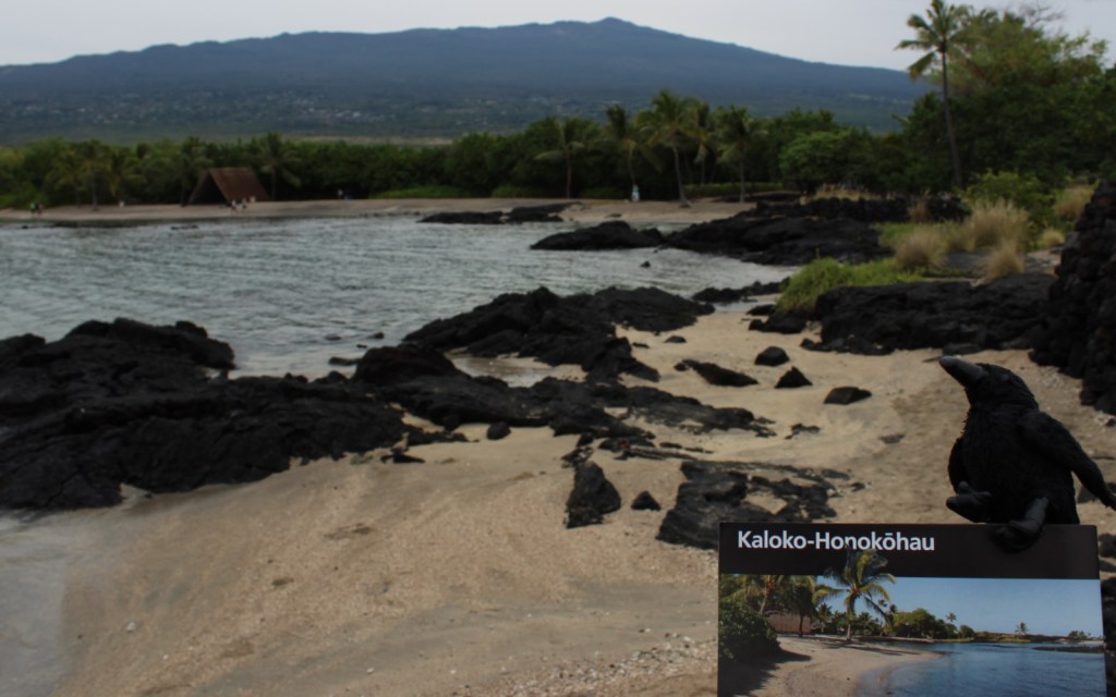
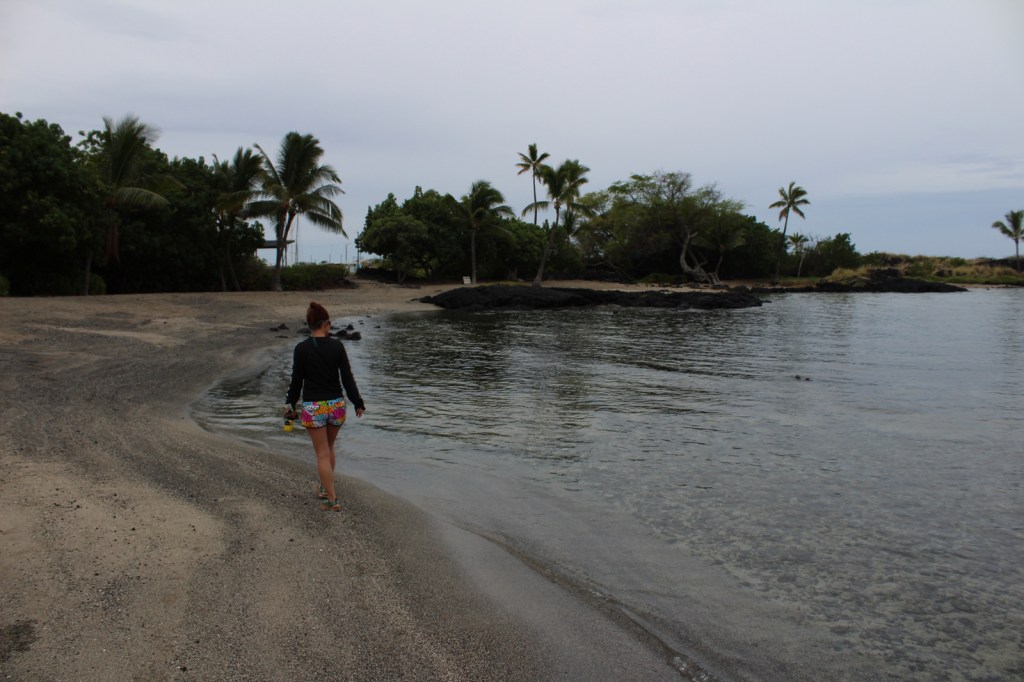
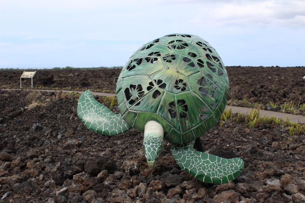
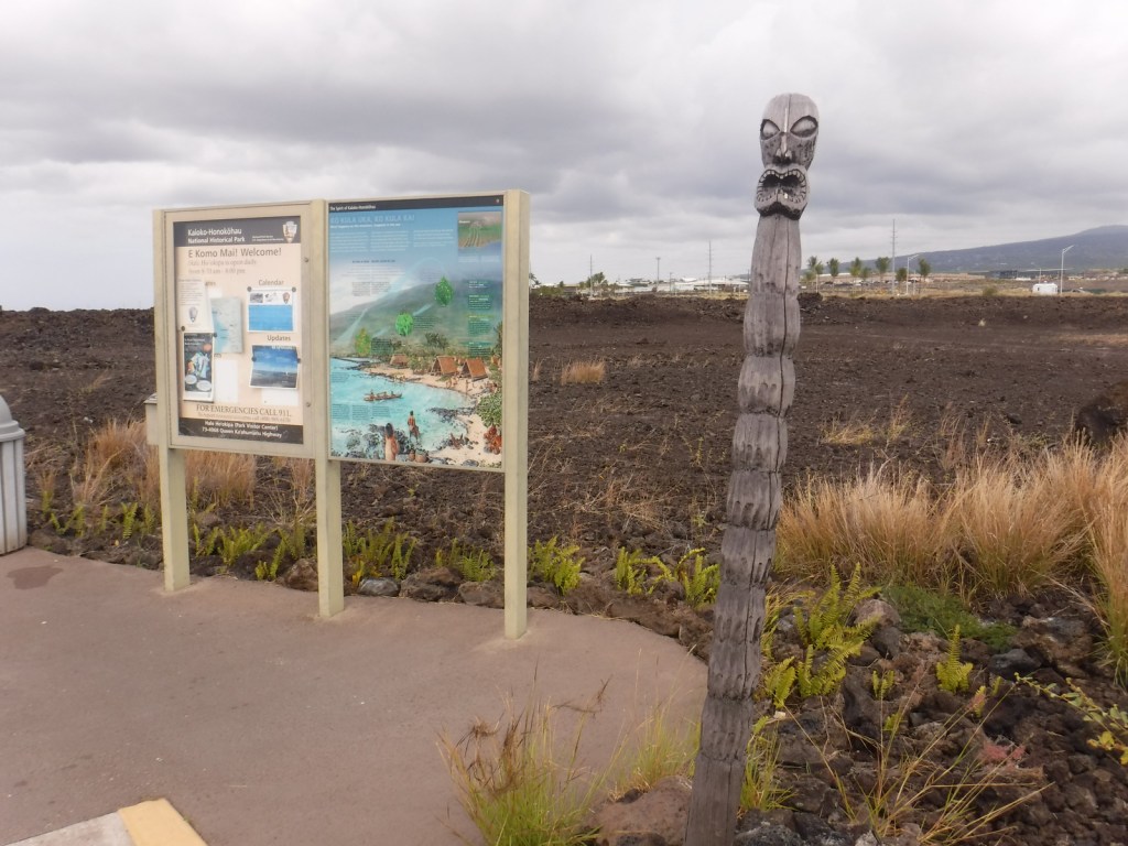
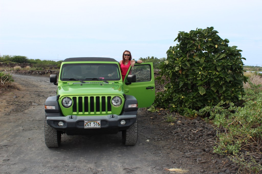
On the west coast of the Big Island of Hawai‘i, Kaloko-Honokōhau National Historical Park was established in 1978, the same year the green sea turtles were federally listed as a threatened species.  This park’s current population of 130 long-term resident juvenile turtles is believed to be a direct result of that protection.  The honus (green sea turtles) are visible both in the clear ocean water and onshore in haul-outs.

Highlights

Honokōhau Beach, ‘Ai‘ōpio fishtrap, heiau (temple), Ala Kahakai National Historic Trail, Kaloko fishpond, green sea turtles

Must-Do Activity

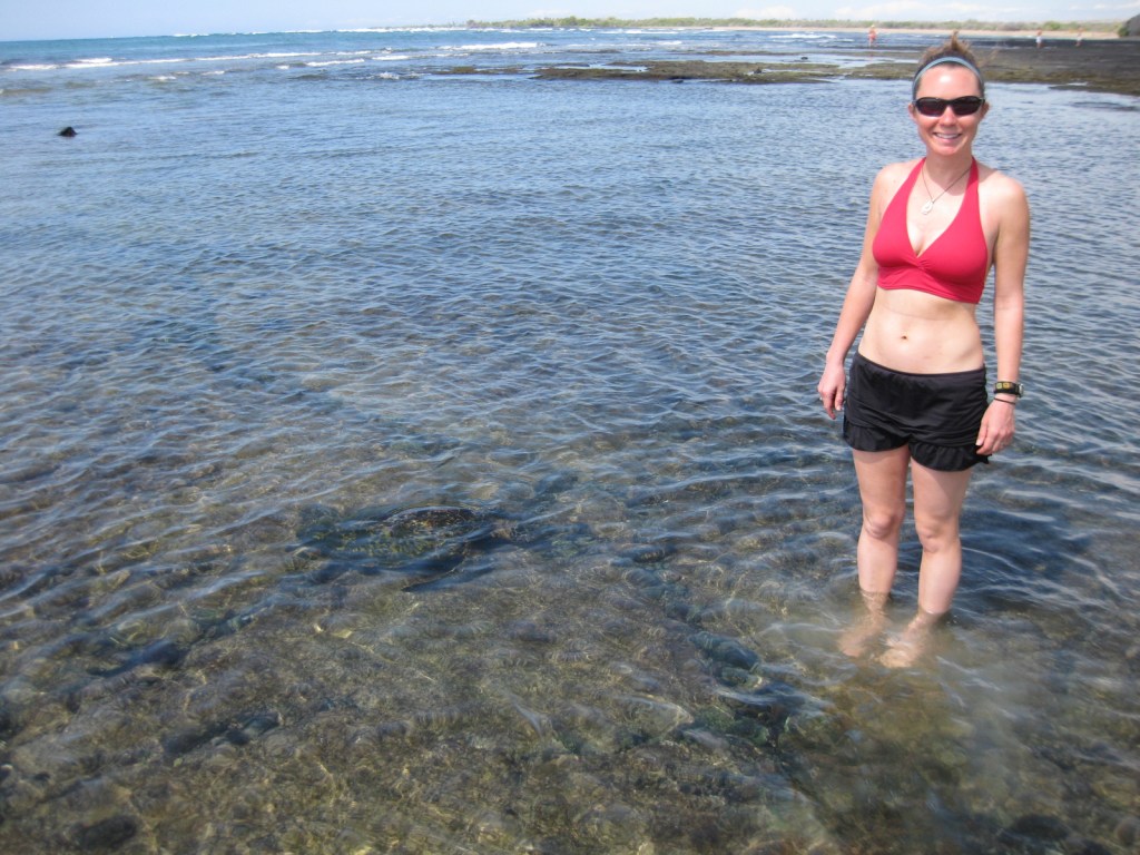
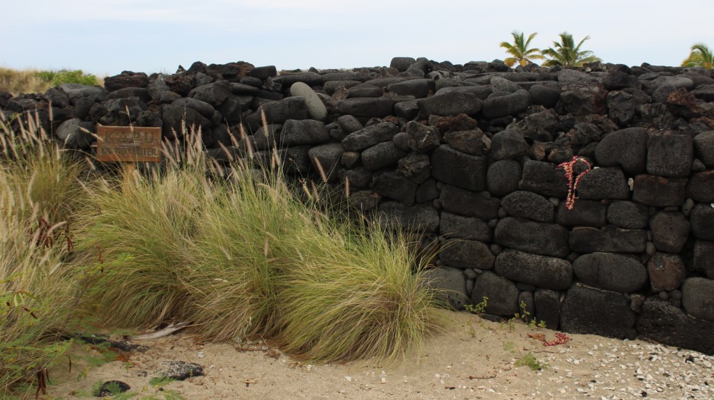
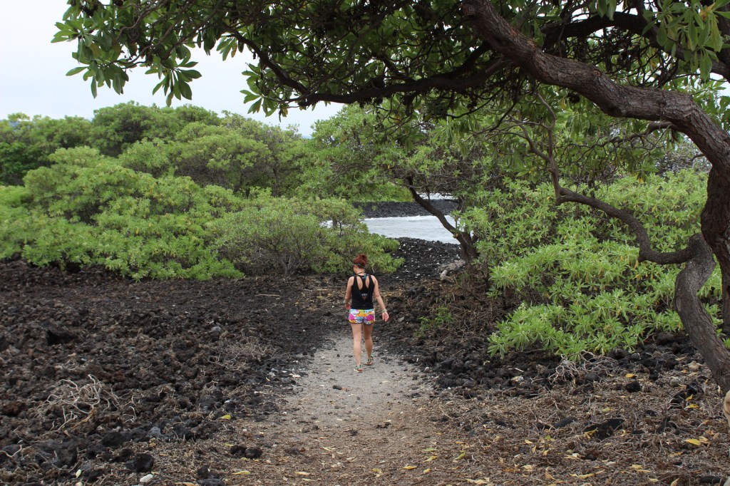
Just like wading humans, green sea turtles are attracted to the shallow, calm waters created by the ‘Ai‘ōpio fishtrap, an artificial reef built of black lava rock.  Some of these young sea turtles already weigh 140 pounds!  Please refrain from touching or lifting the turtles.  Instead, sit in the sun on a white gravelly beach to watch the methodical paddling of these ancient reptiles on this undeveloped portion of coast on the largest island in the United States.

Best Trail

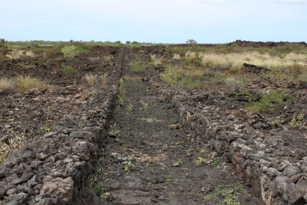
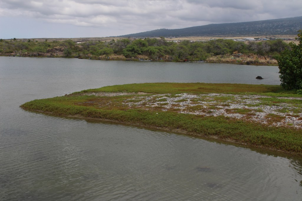
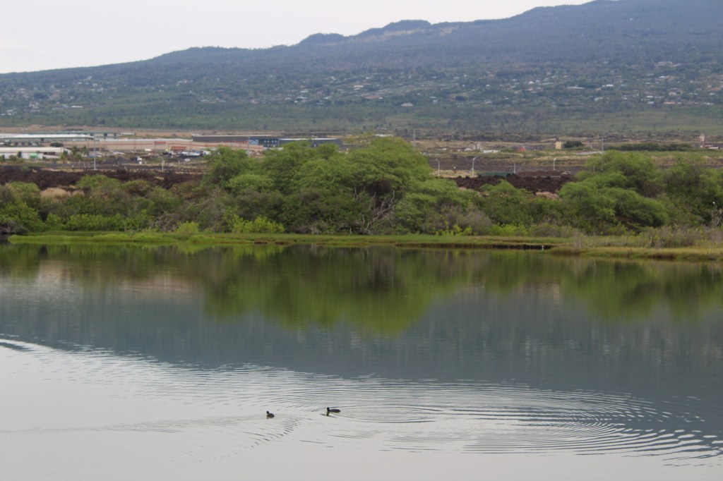
Visitors cannot park at the beach, instead they have to walk a half-mile one-way, which keeps the numbers down.  Two historic trails go to fishponds in this dry, volcanic landscape.

Instagram-worthy Photo

At Honokōhau Beach, next to the ‘Ai‘ōpio fishtrap is a reconstructed hālau (long house), a nice spot to take a break in the shade.

Peak Season

Year round

Hours

https://www.nps.gov/kaho/planyourvisit/hours.htm

Fees

None

Road Conditions

The main entrance is off Highway 19, but there is a good dirt road that accesses Kaloko fishpond that is gated at night.

Camping

Hawai‘i Volcanoes National Park offers a campground, but if you want to camp near the beach look into the state parks and county parks.

Related Sites

Pu’uhonua o Honaunau National Historical Park (Hawai‘i)

Pu’ukohola Heiau National Historic Site (Hawai‘i)

Kalaupapa National Historical Park (Hawai‘i)

Explore More – What did native Hawaiians use to line their 150-foot long hōlua (stone slide) for racing toboggan-like sleds?

Dinosaur National Monument

Dinosaur National Monument

Colorado, Utah

Managed by National Park Service

Established 1915

210,844 acres

Website: nps.gov/dino

Overview

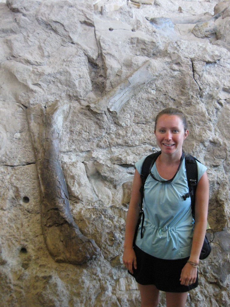
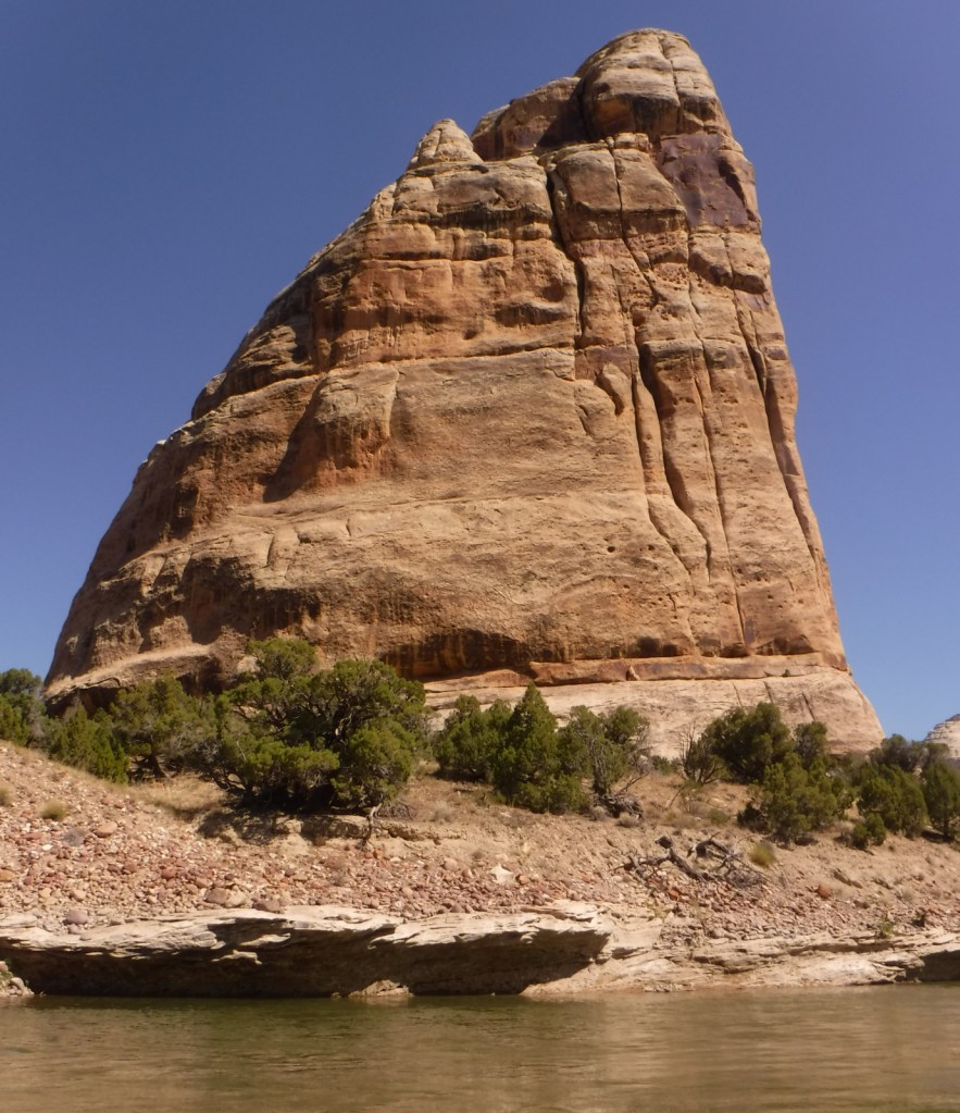
As its name suggests, Dinosaur National Monument was first created in 1915 to protect an archaeological dig.  The 200-foot long wall of unexcavated fossils at Dinosaur Quarry outside Jensen, Utah is still the park’s main attraction.  A major addition of 200,000 acres was added in 1938, stretching into the neighboring state of Colorado.  More than 90% of the National Monument (click here to see where it ranks in our Top 10) is managed as wilderness and is best explored by whitewater rafting the Green and Yampa Rivers.

Know someone who loves exploring new National Monuments? Gift them our book Monumental America: Your Guide to All 138 National Monuments that is available for sale on Amazon.com.

Highlights

Dinosaur Quarry, Harpers Corner Road, Fremont pictographs, Jones Hole Trail, whitewater rafting

Must-Do Activity

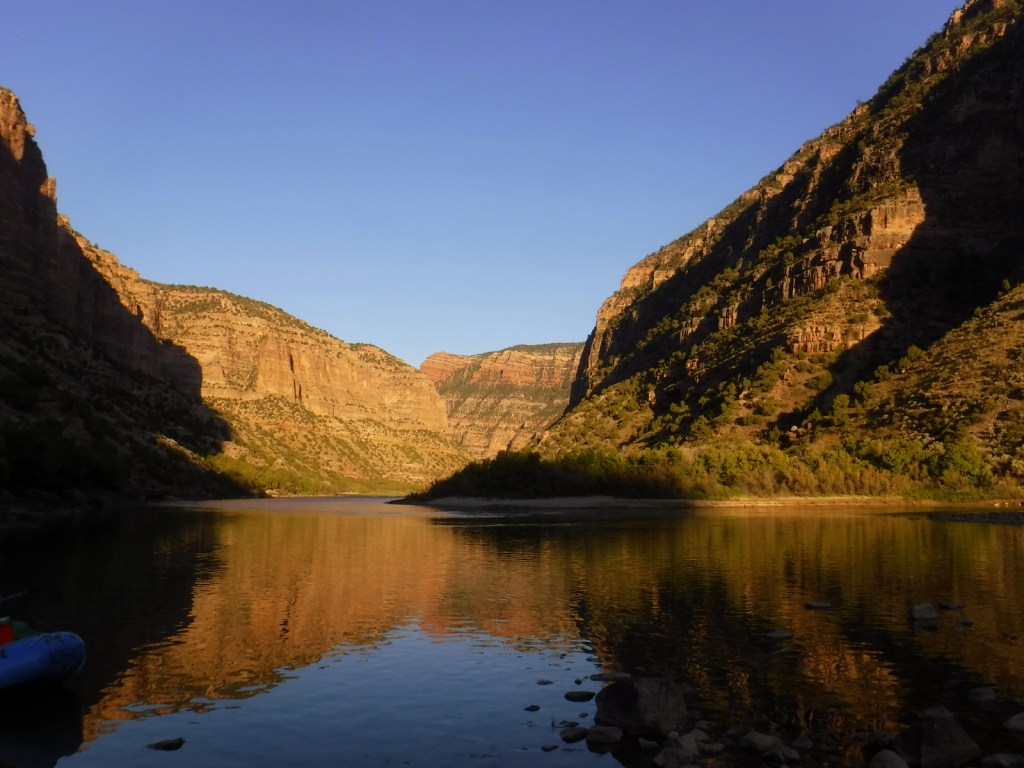
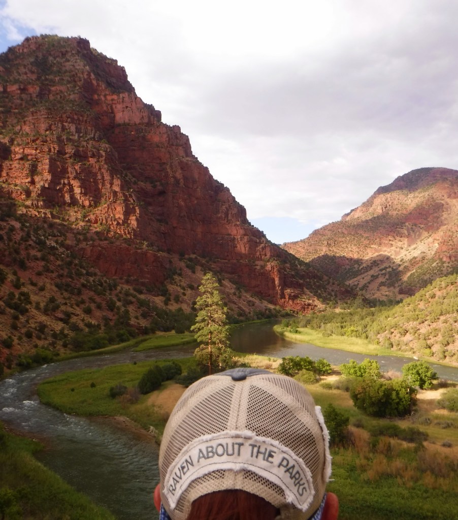
Whitewater rafting trips on the Green River can last a few hours or multiple days depending upon where you put in.  We highly recommend a three night trip starting at the Gates of Lodore with Adrift Dinosaur or one of several other outfitters.  They also offer multi-day trips down the Yampa River, which is undammed and only navigable during the spring snowmelt.  If you do not feel like getting wet, simply enjoy a quiet picnic on the shoreline at easily-accessible Split Mountain (or take a high-clearance vehicle down the rough road to scenic Echo Park).

Best Trail

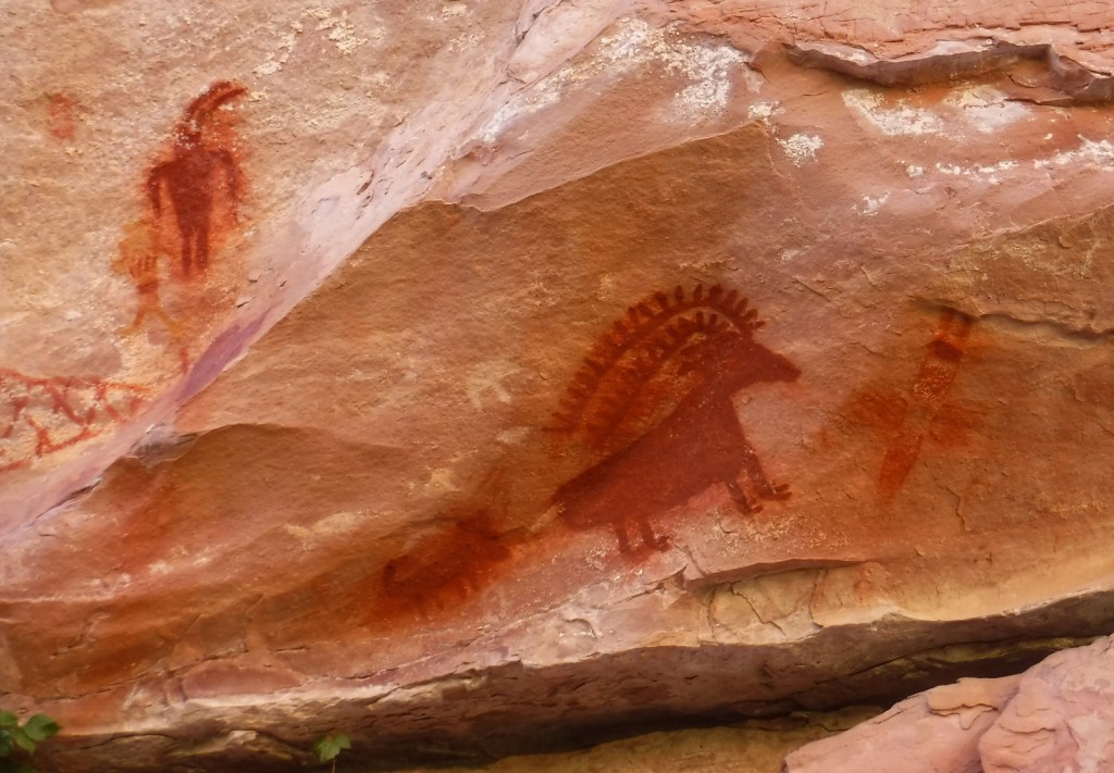
The 4-mile long Jones Hole Trail is accessible to rafters on the Green River and from a fish hatchery at the end of a paved road near the Utah-Colorado border.  It provides access to Ely Creek Falls and the Deluge Shelter pictographs, which are approximately 800 to 1,400 years old.

Instagram-worthy Photo

Dinosaur Quarry may be the only mountainside in America surrounded by its own glass-enclosed, air-conditioned building.  It contains thousands of fossilized bones of giant creatures sitting in the same place they have been for the past 148-million years.  It is a completely different experience than seeing dinosaur skeletons reconstructed in a museum, although they have those, too. 

Peak Season

Spring and summer

Hours

https://www.nps.gov/dino/planyourvisit/hours.htm

Fees

No entrance fees for the Colorado side, but $25 per vehicle to enter the Utah side to view the Dinosaur Quarry.

Road Conditions

There are many dirt roads in the National Monument, some of which are impassable when wet, so check at a visitor center before entering.  The roads to the Dinosaur Quarry, Jones Hole Trailhead, Deerlodge Park, and Harpers Corner are paved.

Camping

There are several campgrounds within the park accessible by paved or unpaved roads, as well as numerous backcountry campsites located along the Green and Yampa Rivers (plus, one on the Jones Hole Trail). 

Related Sites

Flaming Gorge National Recreation Area (Wyoming-Utah)

Arches National Park (Utah)

Ashley National Forest (Utah)

Nearest National Park

Rocky Mountain

Explore More – Who was the one-armed Civil War veteran that led the first exploration of the Green River (and named the Gates of Lodore after a poem) in 1869?

Learn more about the other 137 National Monuments in our book Monumental America: Your Guide to All 138 National Monuments