Overview
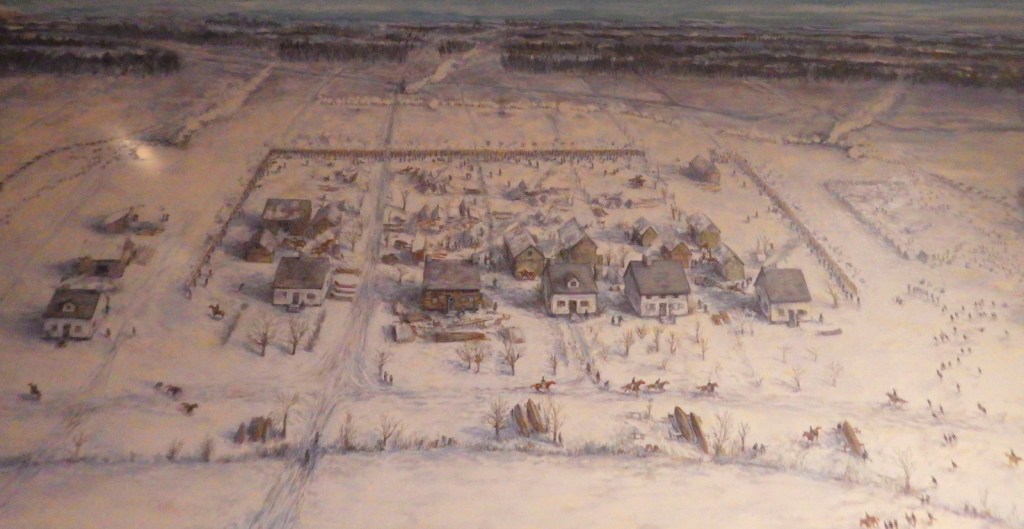
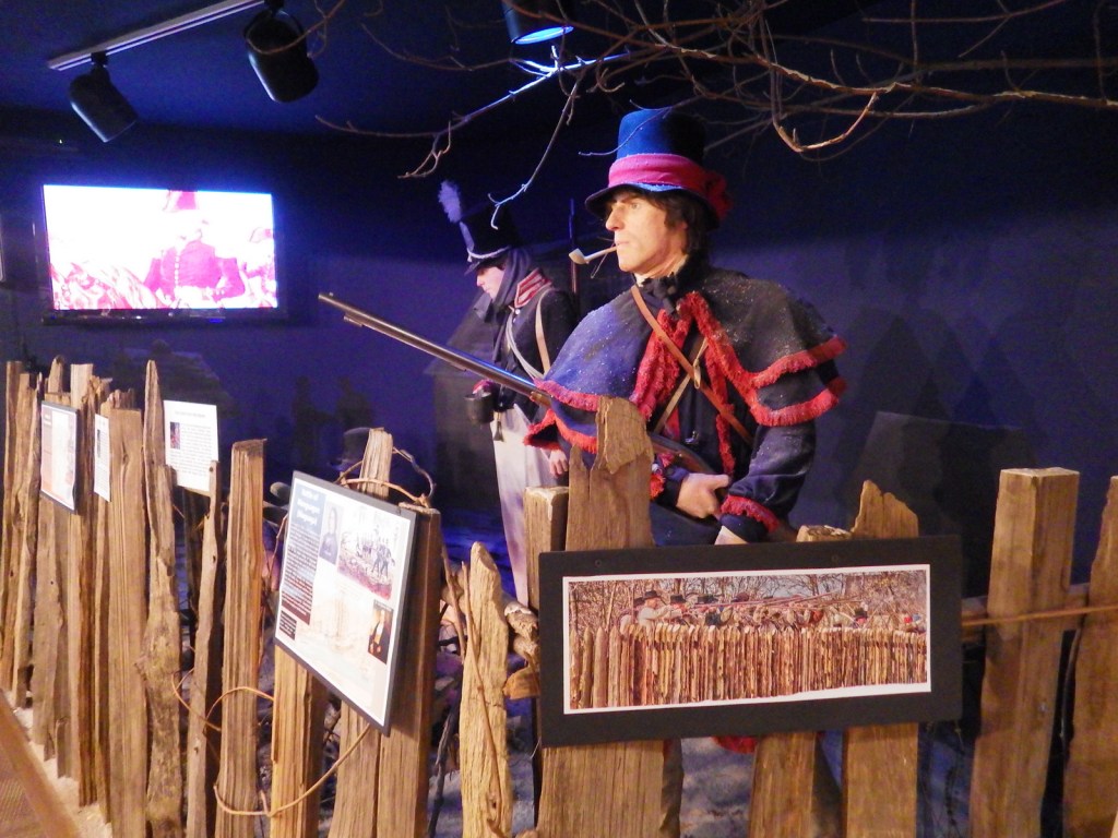
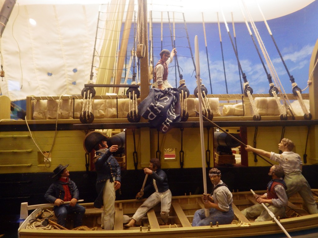
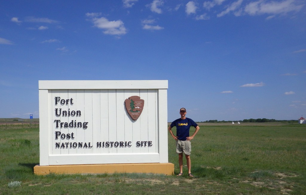
When you park at Fort Union Trading Post National Historic Site you are in Montana, but as you walk to the fort you cross into North Dakota, changing time zones from Mountain to Central Time. Strategically located near the confluence of the Yellowstone and Missouri Rivers, the trading post lasted from 1828 to 1867 when it was sold to the U.S. Army who dismantled it to build Fort Buford two miles downstream. Fort Union primarily traded with Plains Indians for bison hides, since beaver skin top hats were out of fashion by that point.

Highlights
Museum, reconstructed fort, Fort Buford State Historic Site, Missouri-Yellowstone River confluence
Must-Do Activity
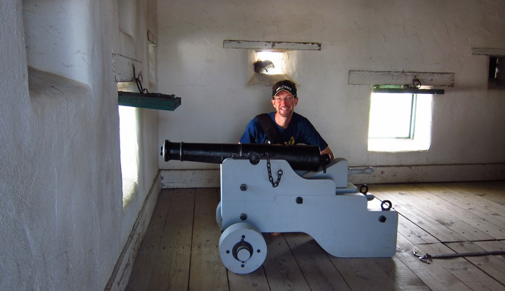
The National Park Service (NPS) visitor center is located inside the reconstructed Bourgeois (field agent) House, one of several buildings and palisades rebuilt between 1985 and 1991 using rot-resistant fir instead of the original cottonwood. After touring Fort Union, drive to Fort Buford State Historic Site where a visitor center (fee) opened at the two rivers’ confluence in August 2003 as part of the Lewis and Clark bicentennial celebration.
Best Trail
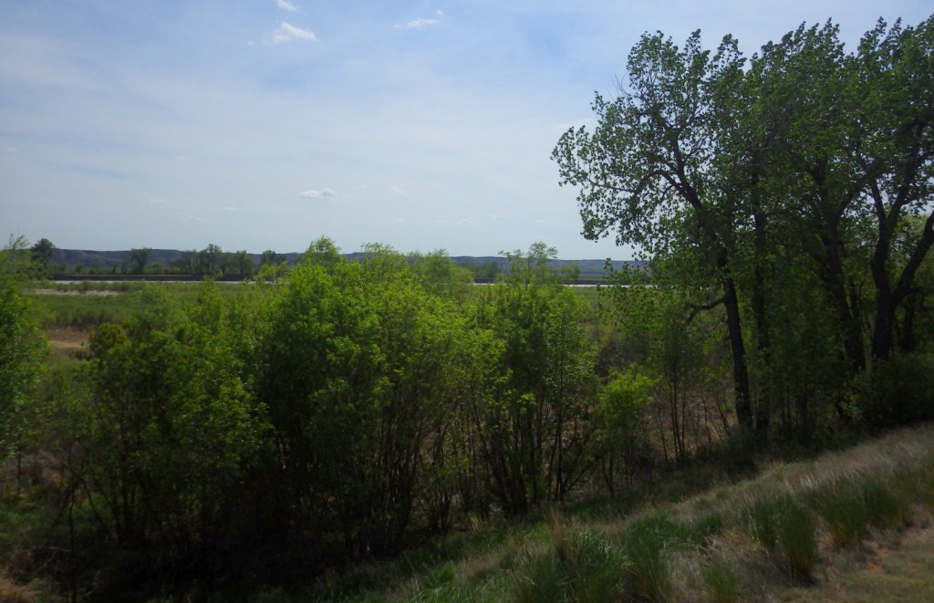
The Bodmer Overlook Trail climbs one mile to a point where Swiss painter Karl Bodmer sketched the fort in 1833. The trailhead is located north of Highway 1804.
Instagram-worthy Photo
The colorful Bourgeois House is where the trading post manager lived. A four-day fur-trade rendezvous is held annually at the park in June.

Peak Season
Summer
Hours
https://www.nps.gov/fous/planyourvisit/hours.htm
Fees
None at the NPS site, but there is an entrance fee at Fort Buford State Historic Site.
Road Conditions
Access roads are paved.
Camping
There is a campground at nearby Fort Buford State Historic Site.
Related Sites
Knife River Indian Villages National Historic Site (North Dakota)
Fort Vancouver National Historic Site (Washington)
Theodore Roosevelt National Park (North Dakota)


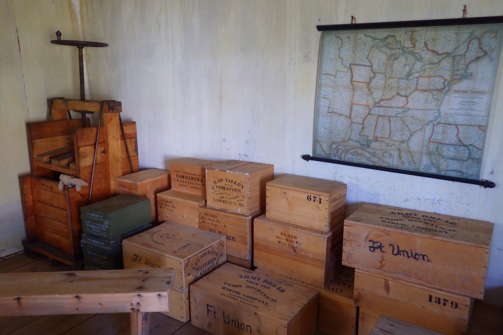
You can touch bison hides and other furs inside the NPS visitor center. 


Fort Buford State Historic Site was a military outpost from 1866-1895. 
Interesting reconstruction at Fort Buford, where Chief Sitting Bull surrendered in 1881.
Explore More – What famous ornithologist stayed at the fort in 1843?