Overview
River Raisin National Battlefield Park is located in Monroe, Michigan near where the mouth of the river empties into Lake Erie. During the War of 1812, the U.S. had a plan to invade Canada which fell through after the surrender of Detroit. Five months later in January 1813, U.S. troops were heading towards Detroit when they made a detour to Frenchtown to drive off a small detachment of Canadians. Following an initial victory, a few mornings later a British surprise attack captured or killed all but 33 of nearly 1,000 troops. When Indian allies of the British returned to scalp six (according to the British) or 42 (according to the Americans) injured prisoners the devastating defeat became immortalized in the rallying cry “Remember the Raisin!”
Highlights
Museum, film, River Raisin Heritage Trail
Must-Do Activity
River Raisin National Battlefield Park was not authorized until 2009, so it has a nice new visitor center opened in 2011. The National Park Service (NPS) has even attempted to make it kid-friendly by creating a stuffed animal of Major Muskrat with multiple costume options available in the gift shop. It is not often that an NPS site commemorates an American defeat in battle. In 1813, the U.S. went onto victory at the Battle of Lake Erie and the Battle of Thames in southern Ontario. For some reason, the Canadians do not have their own National Historic Site dedicated to that one.
Best Trail
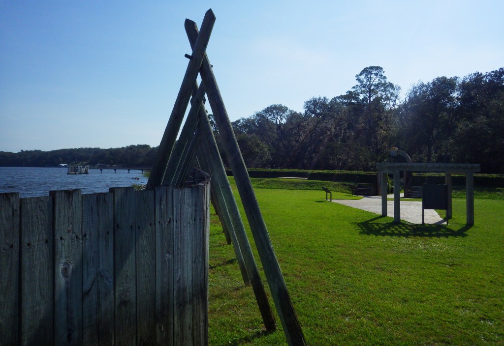
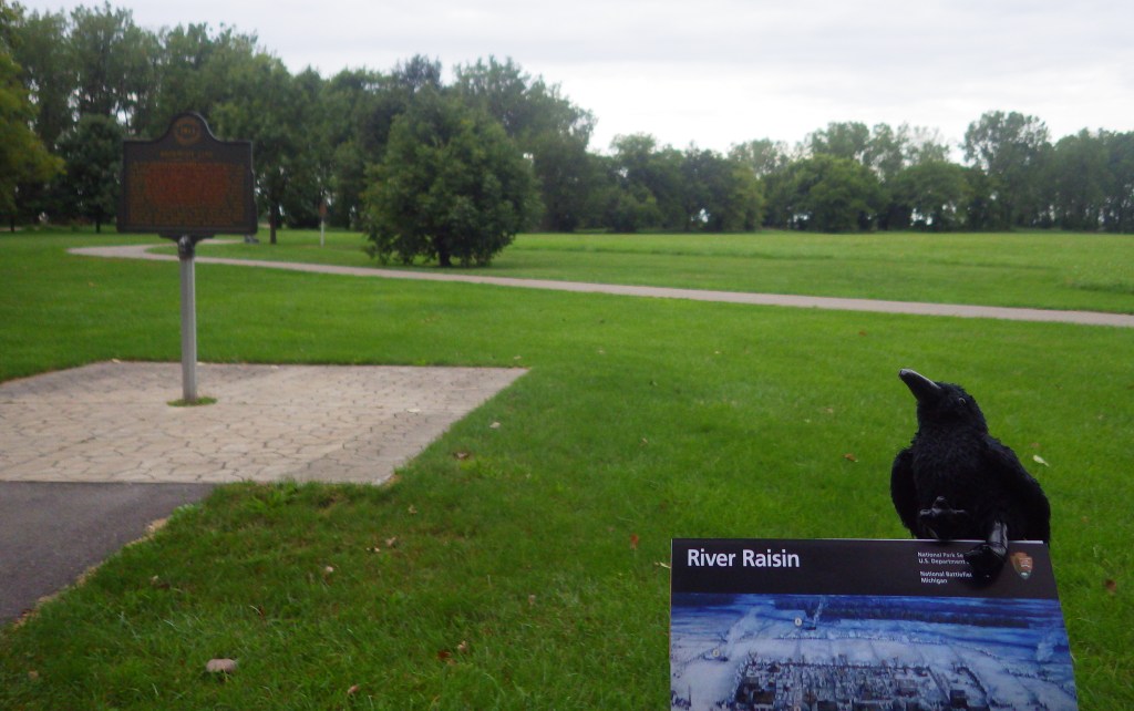
The 42-acre park is mostly a lawn with a paved path dotted by interpretive signs. You can also hook into the River Raisin Heritage Trail, which takes you to Sterling Stare Park on Lake Erie.
Instagram-worthy Photo
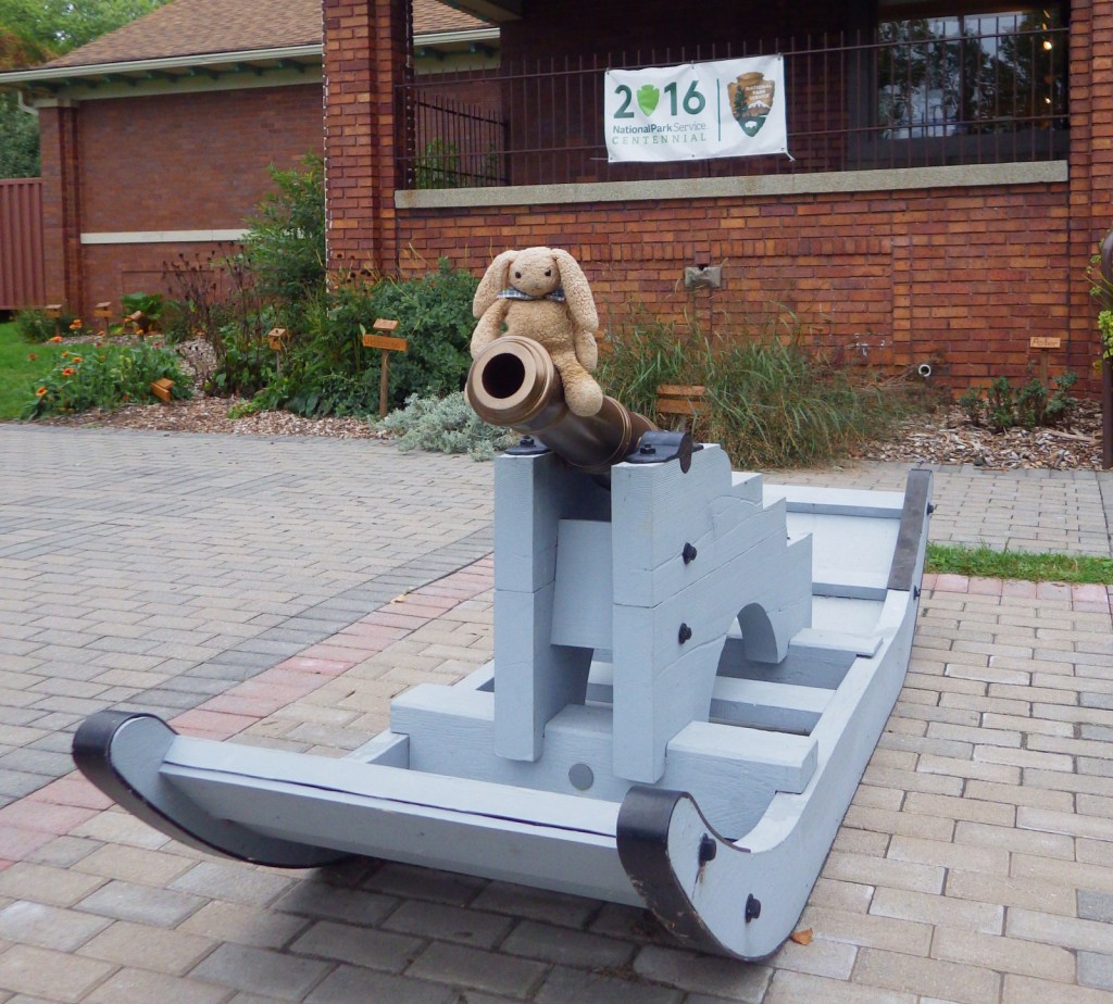
A replica of a cannon used at the January battle is on sled runners; pretty unique!
Peak Season
Summer
Hours
https://www.nps.gov/rira/planyourvisit/hours.htm
Fees
None
Road Conditions
All roads paved
Camping
Sterling State Park offers a 256-site campground on Lake Erie.
Related Sites
Perry’s Victory and International Peace Memorial (Ohio)
Horseshoe Bend National Military Park (Alabama)
Sleeping Bear Dunes National Lakeshore (Michigan)

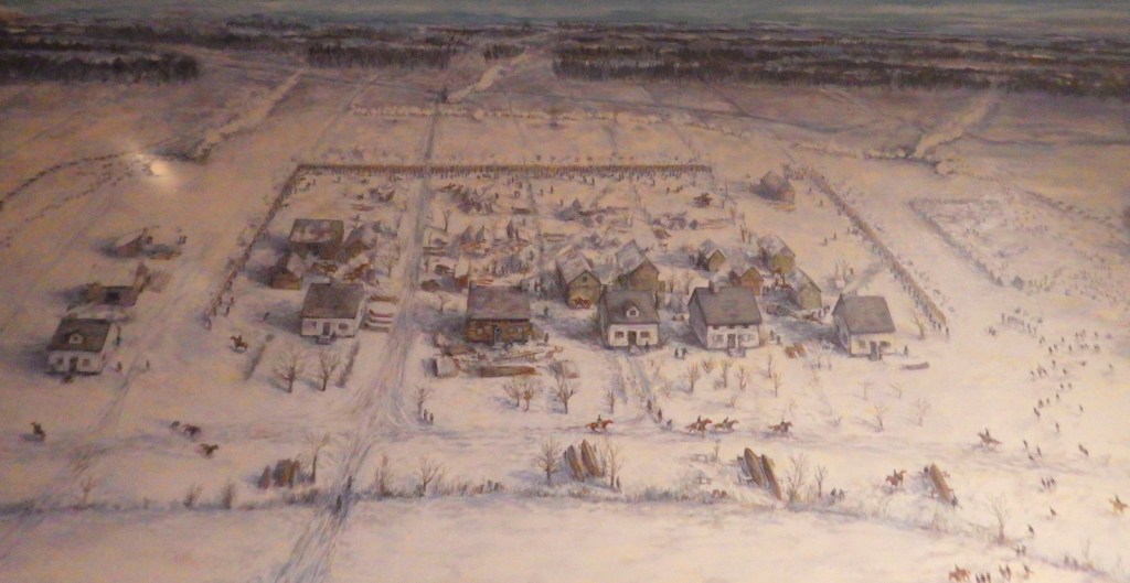
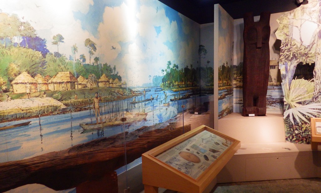
A painting provides an overview of the River Raisin battle 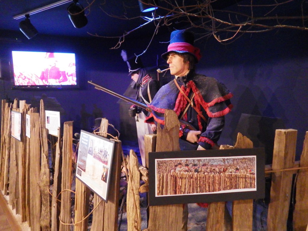

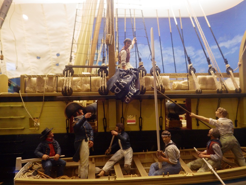
A diorama of Perry’s battle on Lake Erie 

River Raisin Heritage Trail
Explore More – Native Americans were left out of the Treaty of Ghent that ended the War of 1812, so when did the U.S. sign the Treaty of Springwells officially ending hostilities?