Tag Archives: National Scenic Trail

St. Croix National Scenic Riverway

Overview

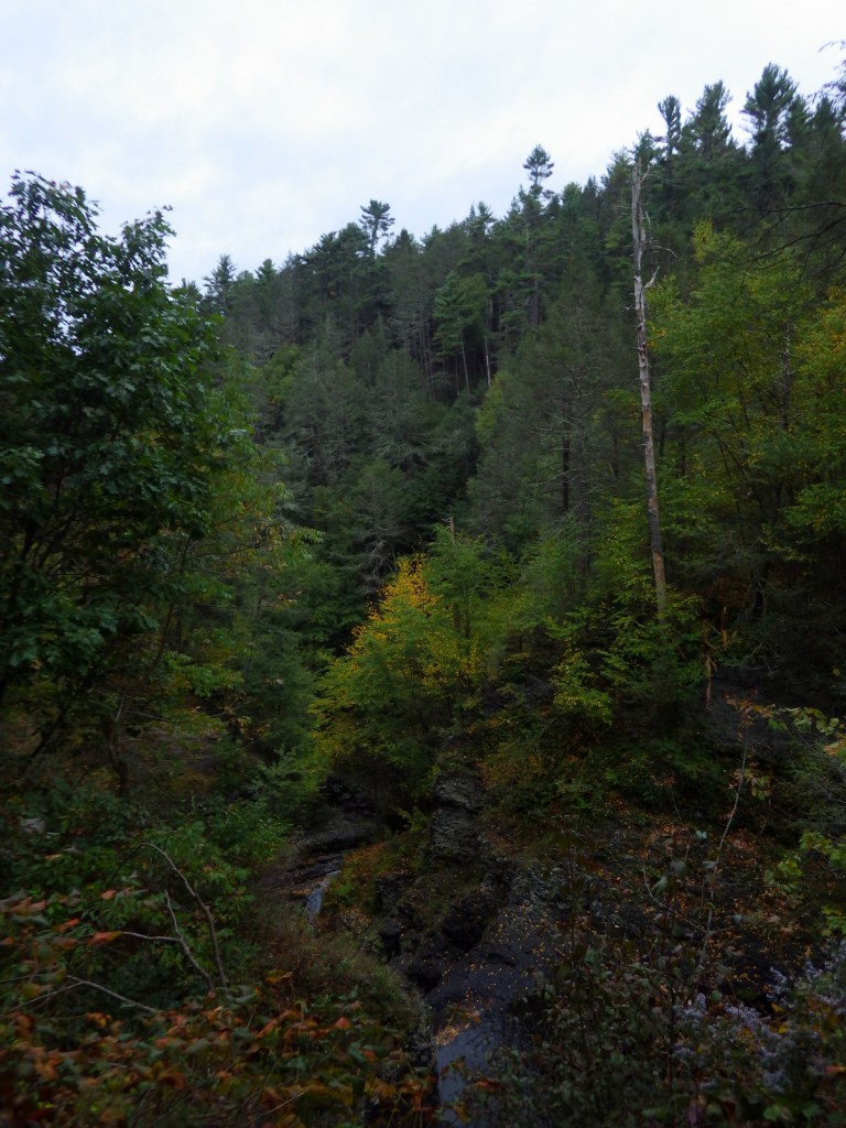
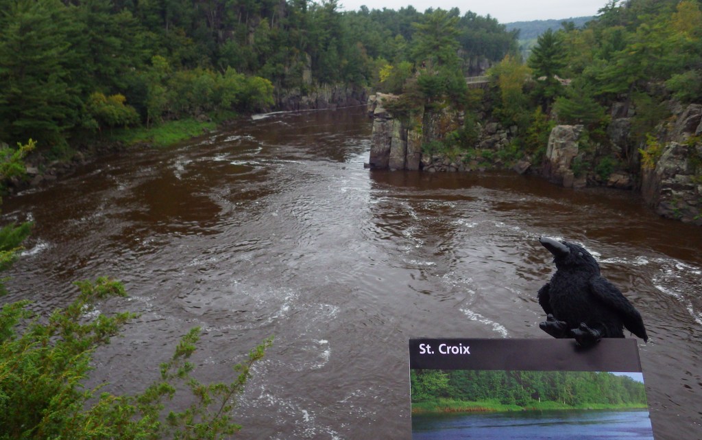
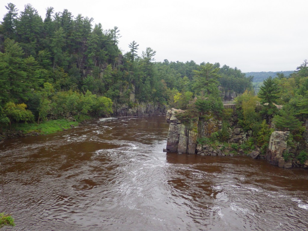
Since 1972, about 255 miles of the St. Croix and Namekagon Rivers have been protected along the Minnesota-Wisconsin border.  It is a popular route for paddlers and tube floaters, in addition to providing invaluable habitat for a variety of wildlife, including beavers, great blue herons, and 40 species of native mussels.  There are a few dams along the rivers and regulations vary by who manages different sections, so it is important to know the rules before you launch your boat.

Highlights

Trego Nature Trail, Sandrock Cliffs, Interstate State Parks

Must-Do Activity

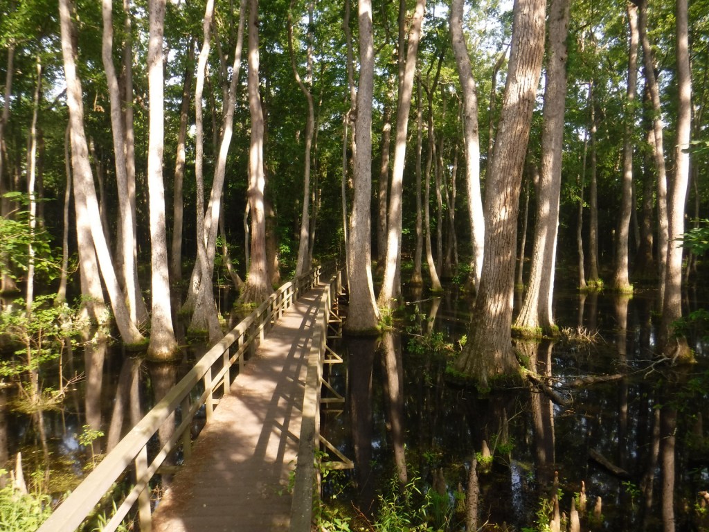
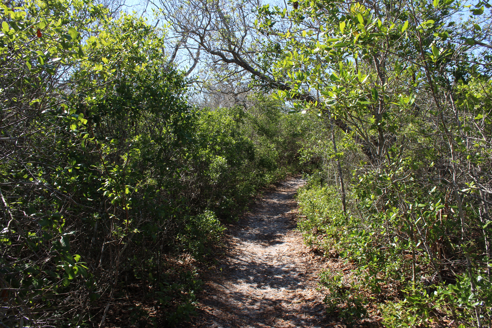
There is a long scenic byway that follows the St. Croix River north from its confluence with the Mississippi River (south of Minneapolis) near the Great River Road Visitor Center in Prescott, Wisconsin.  The National Park Service (NPS) manages the seasonal Namekagon River Visitor Center on a stretch of water that is good for floating.  If you do not have a boat, just down the road try the 2.8-mile roundtrip Trego Nature Trail that follows the Namekagon River through a forest of white pine, bigtooth aspen, and paper birch trees.

Best Trail

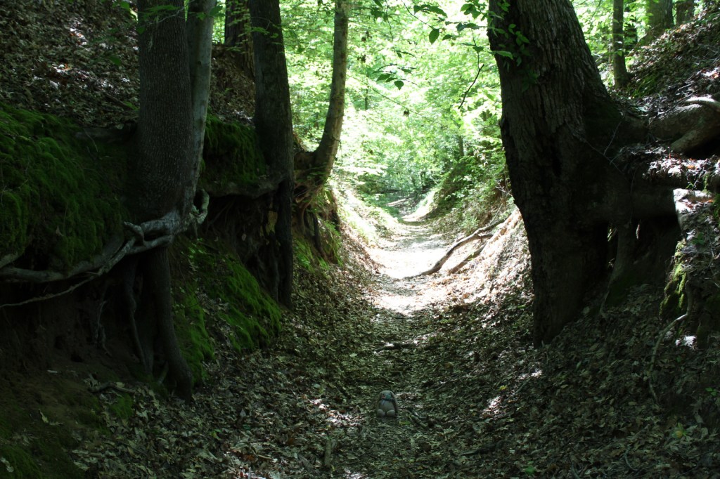
Wisconsin Interstate State Park is located on the St. Croix River and is the western terminus for the partially completed 1,200-mile long Ice Age National Scenic Trail.

Instagram-worthy Photo

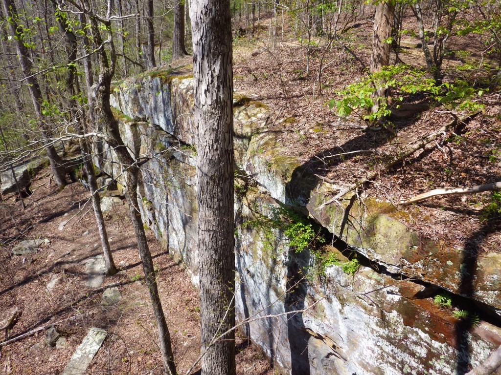
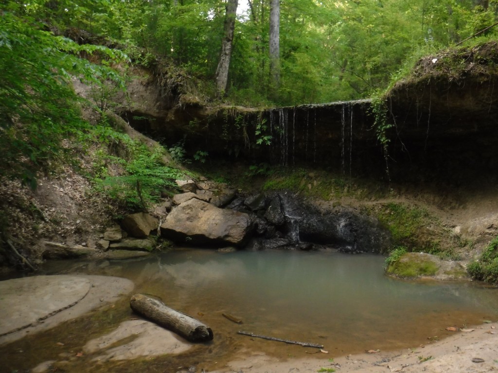
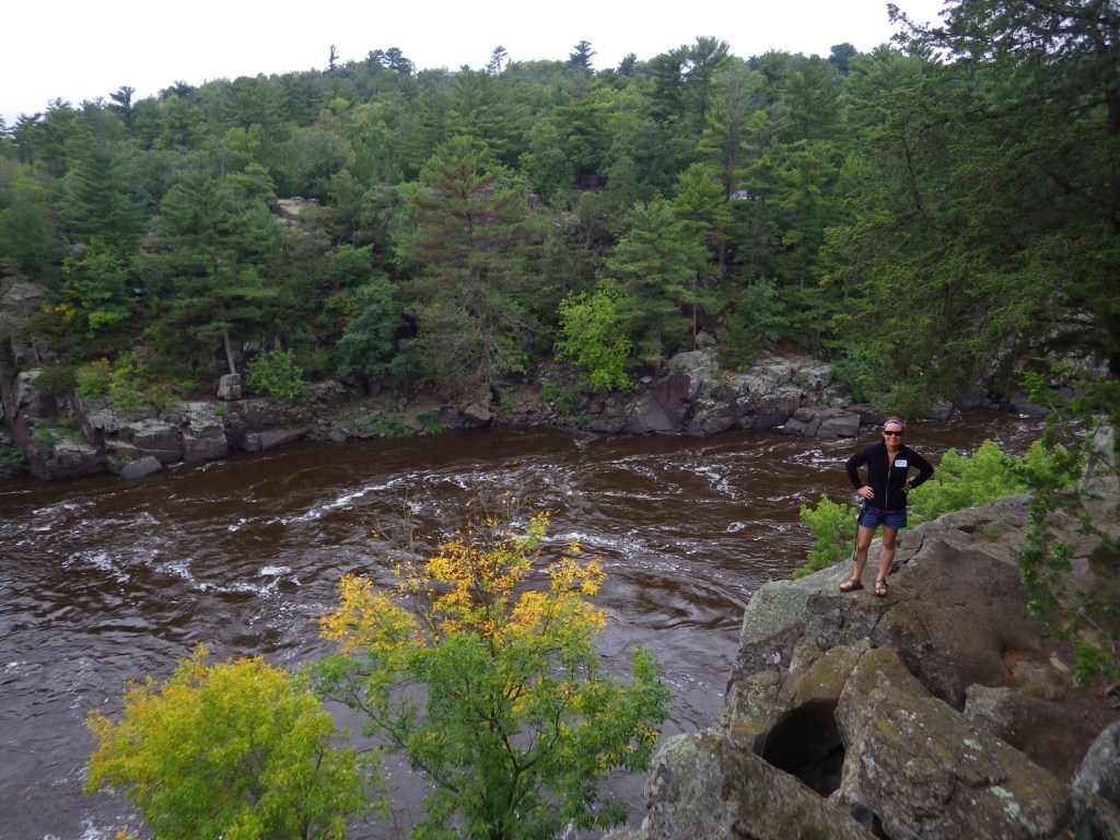
Both Minnesota and Wisconsin Interstate State Parks are great places to learn about potholes (up to 15-foot deep bowls carved into solid rock) formed by boulders caught in whirlpools during glacial melting.

Peak Season

Summer

Hours

https://www.nps.gov/sacn/planyourvisit/hours.htm

Fees

None

Road Conditions

All main roads are paved, but some (like the side road to Trego Nature Trail) are good gravel.

Camping

Developed campgrounds can be found in the numerous state parks and state forests along the rivers.  Only designated riverside campsites can be used by those paddling (except in the Stillwater Islands area), but no reservations are accepted.

Related Sites

Mississippi National River and Recreation Area (Minnesota)

Apostle Islands National Lakeshore (Wisconsin)

Voyageurs National Park (Minnesota)

Explore More – A major proponent of creating this park, Senator Gaylord Nelson was born in Clear Lake, Wisconsin and helped pass the Wild and Scenic Rivers Act, as well as founding what annual holiday in 1970?

Natchez Trace National Scenic Trail

Natchez Trace National Scenic Trail

Mississippi-Alabama-Tennessee

Managed by National Park Service

Established 1983

67 miles

Website: nps.gov/natt

Overview

Not as well-known as the Natchez Trace Parkway it parallels, Natchez Trace National Scenic Trail is one of only six National Scenic Trails officially managed by the National Park Service (NPS).  The trace (or trail) started as an American Indian footpath.  Some of the mound builder sites protected here were inhabited when Hernando de Soto led the first Europeans into this area in 1540.  The Natchez Trace was heavily used in the 1800s by “Kaintuck” flatboatmen returning from New Orleans who left the Mississippi River from Natchez, Mississippi and continued on foot north to Nashville, Tennessee.  Today you can follow portions of the “sunken” trail worn down by travelers for centuries.

Highlights

Rocky Springs, Owens Creek Waterfall, Tupelo-Baldcypress Swamp, Grindstone Ford, Witch Dance Horse Trail, War of 1812 Memorial

Must-Do Activity

The Natchez Trace National Scenic Trail does not follow the entire 444-mile parkway, but exists in five segments totaling 67 miles in length.  The two longest sections are near Leipers Fork, Tennessee (Miles 408-427) and north of Jackson, Mississippi (Miles 108-130).  There are many other places to go hiking along the Natchez Trace Parkway, including one of our favorite spots, Tishomingo State Park (Mile 304) in Mississippi.  Near Tupelo, the Parkway Visitor Center at Mile 266 is another must-do stop to learn the history of the trace.

Best Trail

There are eight miles of the original trail around the Rocky Springs Campground near Mile 58 in Mississippi, which provides access to Owens Creek Waterfall and a historic town site.

Instagram-worthy Photo

In early April the dogwood trees bloom along the Natchez Trace Parkway.  At Mile 275 is Dogwood Valley, which also has a short section of “sunken” historic trail.

Peak Season

Spring and fall

Hours

https://www.nps.gov/natt/planyourvisit/hours.htm

Fees

None

Road Conditions

The entire 444-mile Natchez Trace Parkway is paved from Natchez, Mississippi to Nashville, Tennessee, but not all trailheads are RV accessible.

Camping

There are three NPS campgrounds along the Natchez Trace Parkway, as well as those in sites like Mississippi’s Tishomingo State Park.  The three NPS campgrounds are free with running water, plus there are also five bike-only campsites along the route.

Related Sites

Tupelo National Battlefield (Mississippi)

Natchez National Historical Park (Mississippi)

Natchez Trace Parkway (Mississippi-Alabama-Tennessee)

Vicksburg National Military Park (Mississippi)

Nearest National Park

Hot Springs

Explore More – The Natchez Trace Parkway officially joined the NPS system in 1938, but when was construction of the road finally completed?

Delaware Water Gap National Recreation Area

Overview

On the Pennsylvania-New Jersey border, the Delaware River flows through a gap in the long ridge of the Appalachian Mountains.  This marks the southern end of Delaware Water Gap National Recreation Area and the site of the Kittatinny Point Visitor Center (right off Interstate 80) managed by the National Park Service (NPS).  When preservationists fought to protect this area from being dammed in the 1960s it led to the creation of the National Recreation Area surrounding a 40-mile stretch of river designated as the Middle Delaware National Scenic River.

Highlights

Raymondskill Falls, Millbrook Village, Dingmans Falls, floating Middle Delaware National Scenic River

Must-Do Activity

Most of the NPS visitor centers are open seasonally in this resort area on the Pocono Plateau.  We visited in the offseason in late September and enjoyed hiking to Raymondskill, Silver Thread, and Dingmans Falls on the Pennsylvania side.  On the New Jersey side the main attraction is Millbrook Village, a recreated 1800s town that is open year round.  Fishing, swimming, and floating the Middle Delaware National Scenic River are popular in the summer.

Best Trail

There are more than 100 miles of trails within the park, including 27 miles of the famous Appalachian National Scenic Trail that leads to the top of Mt. Minsi for great views of the actual Delaware Water Gap.

Instagram-worthy Photo

A boardwalk trail passes 80-foot tall Silver Thread Falls on the way to 130-foot tall Dingmans Falls.

Peak Season

Summer

Hours

https://www.nps.gov/dewa/planyourvisit/hours.htm

Fees

None for entry, but some sites have a user fee (Smithfield Beach, Milford Beach, etc.) and there are toll bridges across the river in places.

Road Conditions

There are several unpaved roads and toll bridges within the boundaries of Delaware Water Gap National Recreation Area.

Camping

Promised Land State Park in Pennsylvania

Campground options available in New Jersey include Worthington State Forest, High Point State Park, and Stokes State Forest.  Dingmans Campground on the Pennsylvania side offers discounts for the NPS Senior Pass. Primitive camping is allowed for thru-hikers on the Appalachian National Scenic Trail and along the riverside for boaters.  Keep a clean campsite, as black bears are common.

Related Sites

Upper Delaware Scenic and Recreational River (New York-Pennsylvania)

Allegheny Portage Railroad National Historic Site (Pennsylvania)

Hopewell Furnace National Historic Site (Pennsylvania)

Explore More – The Delaware River is one of the cleanest rivers in the eastern U.S. and attracts large numbers of which nationally symbolic raptor every winter?

Gulf Islands National Seashore

Overview

Gulf Islands National Seashore is renowned for white sand beaches on the barrier islands in the Gulf of Mexico, but there is more than beaches on the shores of Mississippi and the Florida panhandle (yes, Alabama is in the middle but is not part of this park).  The white sand that attracts beachgoers here originated as quartz in the Appalachian Mountains.  This coastal region was originally purchased by the U.S. from Spain in 1821 and 150 years later Gulf Islands National Seashore was created. 

Highlights

Fort Pickens, Naval Live Oaks Area, Fort Barrancas, West Ship Island ferry, white sand beaches, wildlife

Must-Do Activity

The National Park Service (NPS) has four visitor centers for Gulf Islands National Seashore, one on the mainland in Ocean Springs, Mississippi and the other three are south of Pensacola, Florida.  The most developed area is around Fort Pickens on Santa Rosa Island with its popular campground.  Nearby, Fort Barrancas sits next to the free National Museum of Naval Aviation on the military base.  The Naval Live Oaks Area protects the first federal tree farm started for shipbuilding purposes in 1828.  In Mississippi, only Davis Bayou can be reached by road, with (seasonal) ferry service limited to West Ship Island.  Otherwise, bring your own boat!

Best Trail

The 1,300-mile long Florida National Scenic Trail starts at Fort Pickens then runs east across Santa Rosa Island.

Instagram-worthy Photo

Fort Pickens dates back to 1829 with additional batteries upgraded during World War II.  Inside the fort there is a nice museum explaining the history of Santa Rosa Island.

Peak Season

Summer

Hours

https://www.nps.gov/guis/planyourvisit/hours.htm

Fees

$25 per vehicle or free with America the Beautiful pass

Road Conditions

All access roads are paved

Camping

Reservations are highly recommended for the NPS campgrounds on Santa Rosa Island, Florida and Ocean Springs, Mississippi.  Primitive camping is allowed on undeveloped East Ship, Horn, and Petit Bois Islands.

Related Sites

Dry Tortugas National Park (Florida)

Canaveral National Seashore (Florida)

Everglades National Park (Florida)

Explore More – What are the four species of sea turtles that nest on the park’s beaches?

Harpers Ferry National Historical Park

Overview

Robert Harper started ferrying folks across the Potomac River at this site in 1747.  It had a strategic location at the confluence of the Shenandoah and Potomac Rivers where the point of what is now the state of West Virginia meets the border of Maryland and Virginia.  Harpers Ferry is most famous for the 1859 raid led by abolitionist John Brown of Kansas in attempt to seize the federal armory to incite a slave rebellion.  His trial and execution for treason helped foment the Civil War, during which conflict the town changed hands between the two sides an astounding eight times!

Highlights

Historic buildings, museums, Jefferson Rock, Appalachian National Scenic Trail

Must-Do Activity

A portion of the town today is run as a series of museums by the National Park Service (NPS), though other parts remain open for business as restaurants, shops, and inns.  Parking is limited in town, so the NPS runs a shuttle (free with parking fee) two miles from their visitor center.

Best Trail

You can hike into town on the 2,185-mile Appalachian Trail that cuts right through the buildings and over the footbridge across the Potomac River.

Instagram-worthy Photo

Jefferson Rock is located just up the hill from town, named for Thomas Jefferson who visited in 1783.

Peak Season

Summer

Hours

https://www.nps.gov/hafe/planyourvisit/hours.htm

Fees

$20 to park at NPS visitor center or free with America the Beautiful pass

Road Conditions

There is limited parking in town so it is easier to take a shuttle from the NPS visitor center.

Camping

There are multiple private campgrounds in the area, as well as Maryland’s Gambrill State Park.

Related Sites

Shenandoah National Park (Virginia)

Fort Scott National Historic Site (Kansas)

New River Gorge National Park and Preserve (West Virginia)

Explore More – Which famous member of the Corps of Discovery visited the national armory in Harpers Ferry in 1803 before heading to the Pacific Ocean?

We are a participant in the Amazon Services LLC Associates Program, an affiliate advertising program designed to provide a means for us to earn fees by linking to Amazon.com and affiliated sites.