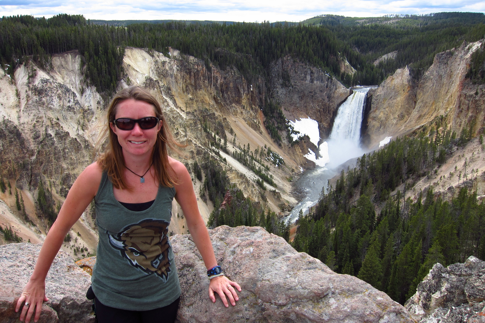
Lake Clark National Park and Preserve
Alaska
Managed by National Park Service
Established 1978 National Monument, 1980 National Park
4,030,025 acres
Website: nps.gov/lacl
Overview
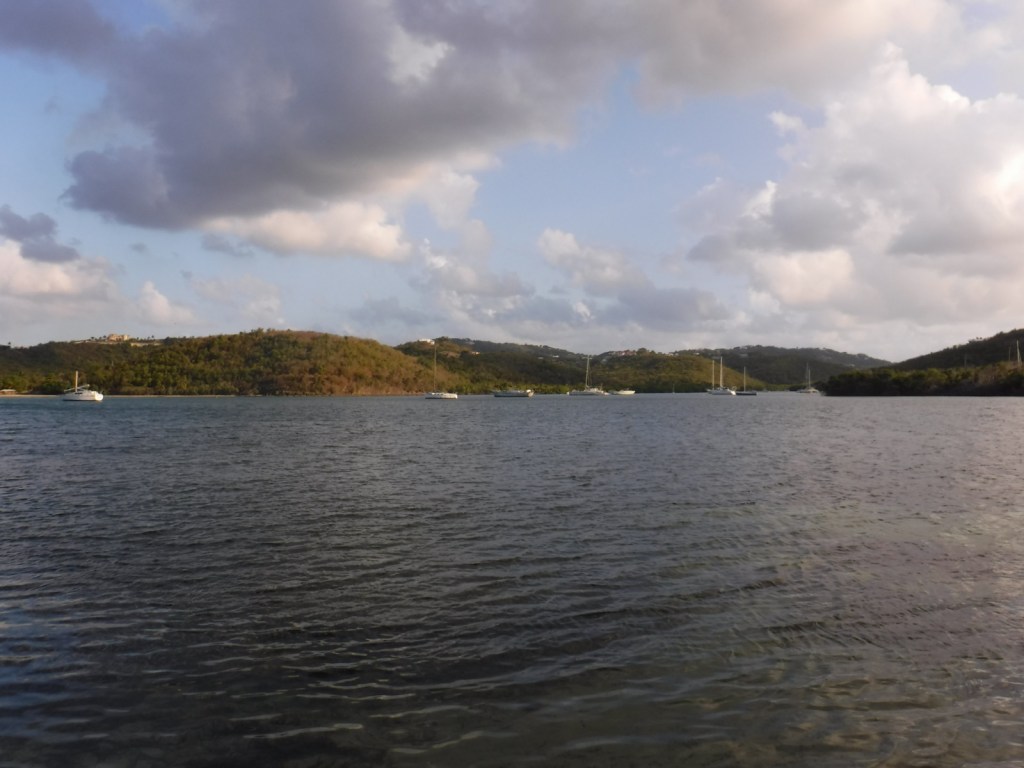
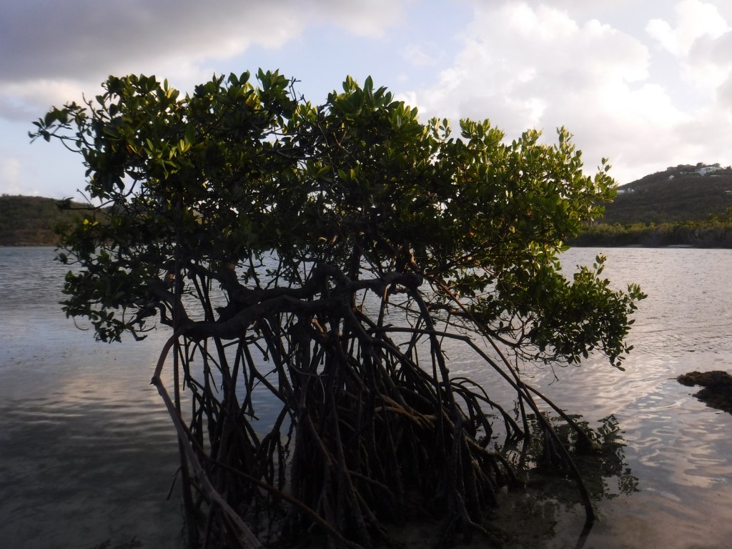
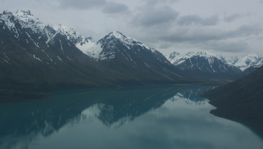
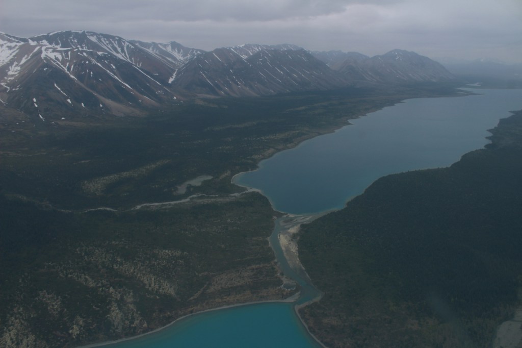
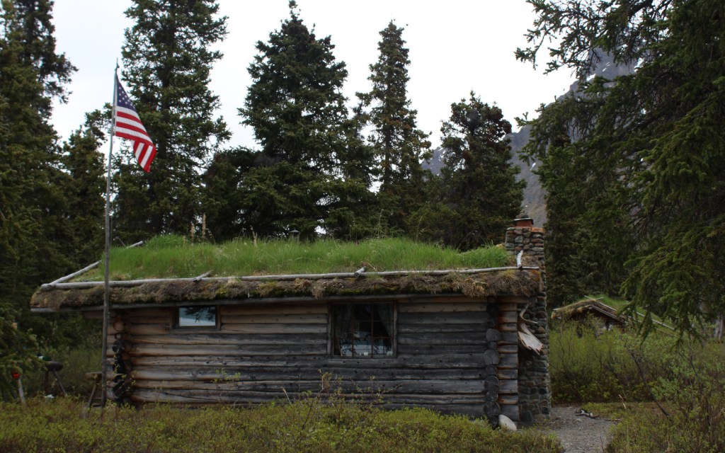
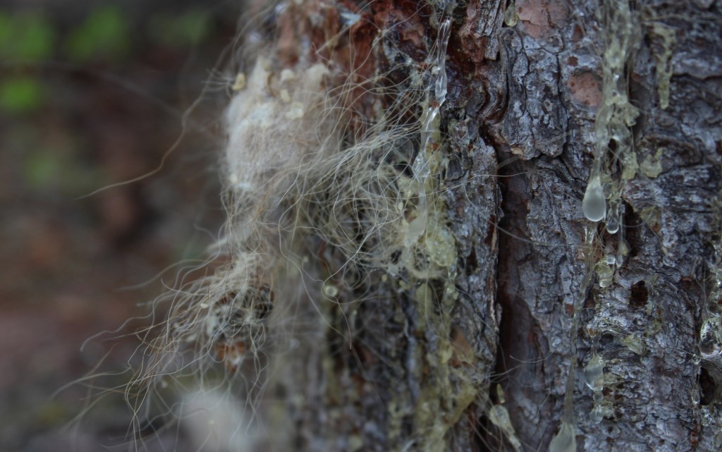
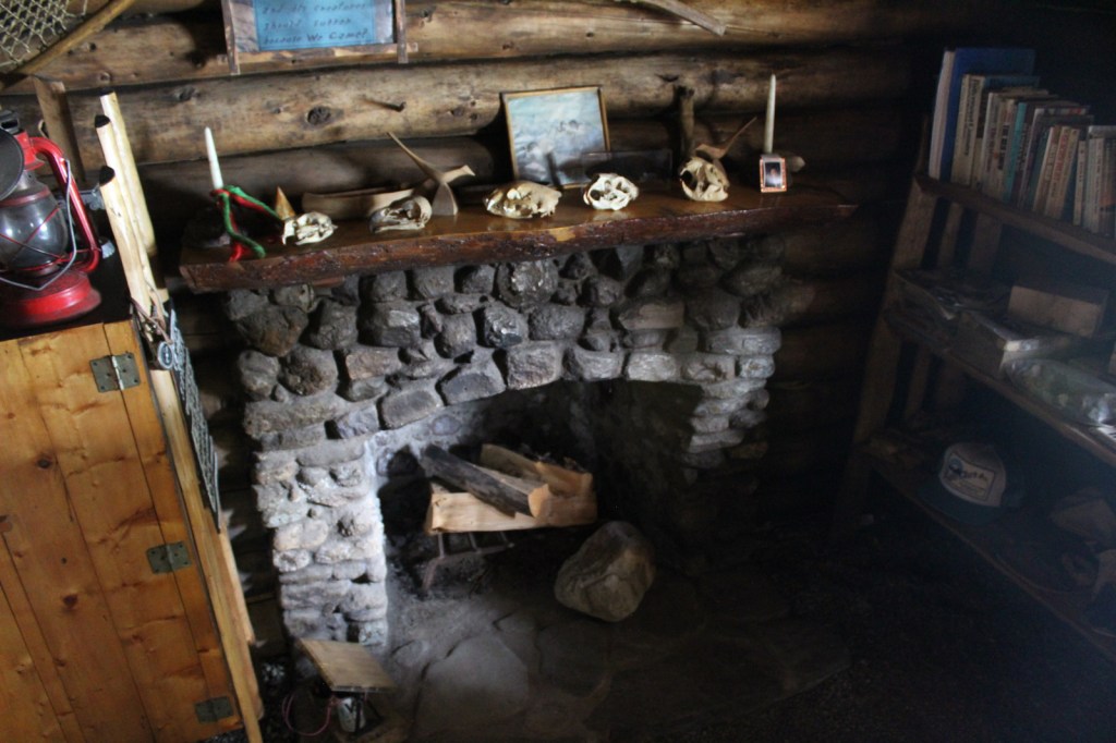
Lake Clark National Park and Preserve is inaccessible by road and receives only about 15,000 visitors annually. It sits at the northern end of the massive Alaska Peninsula southwest of Anchorage, home to the twin 10,000-foot volcanoes Redoubt and Iliamna. Cloaked in the whitest of snow, on a clear day they dominate the skyline view from a boat bobbing in Cook Inlet or a vehicle driving the Sterling Highway. Behind the mountains lies massive Lake Clark itself, as well as the Twin Lakes made famous in the film Alone in the Wilderness and the book One Man’s Wilderness that both documented Richard “Dick” Proenneke’s cabin building and backcountry lifestyle (see our list of the Top 10 Non-Fiction Books Set in a National Park and Alaska). Many visitors take flightseeing tours and never step foot on the ground, but that does not make their experience any less extraordinary.
Learn more in the expanded 2nd edition of our guidebook to the National Parks— A Park to Yourself: Finding Solitude in America’s 63 National Parks.

Highlights
Redoubt Volcano, Iliamna Volcano, Port Alsworth, Lake Clark, Richard Proenneke Historic Site, Double Glacier
Must-Do Activity
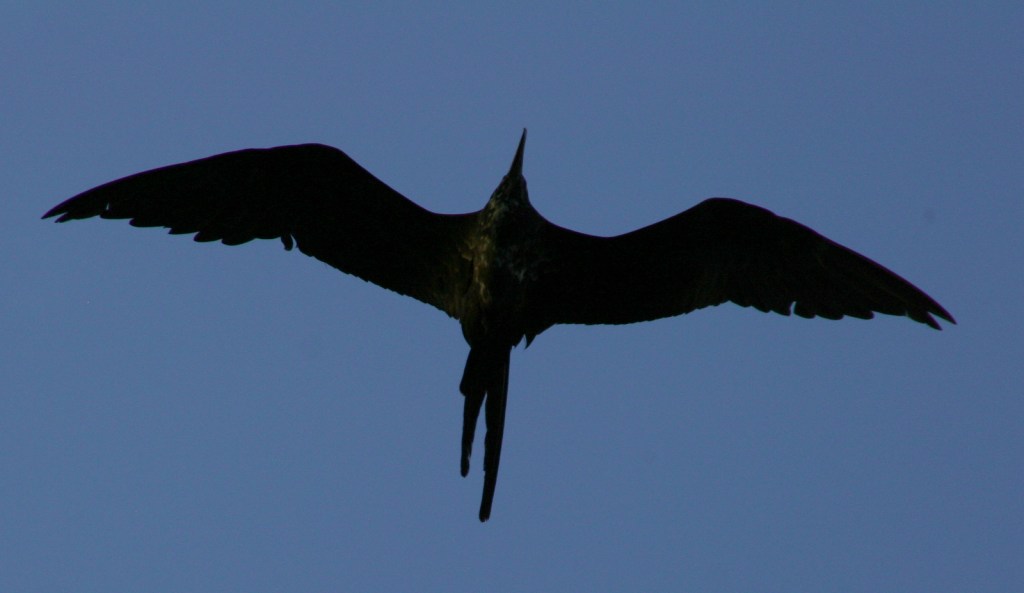
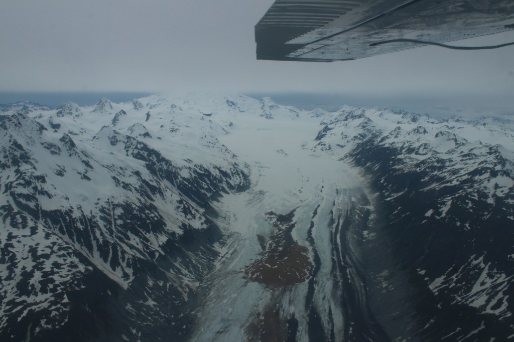
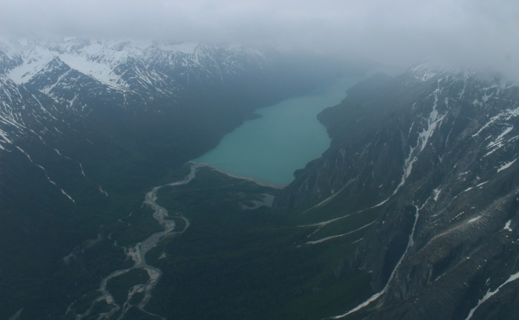
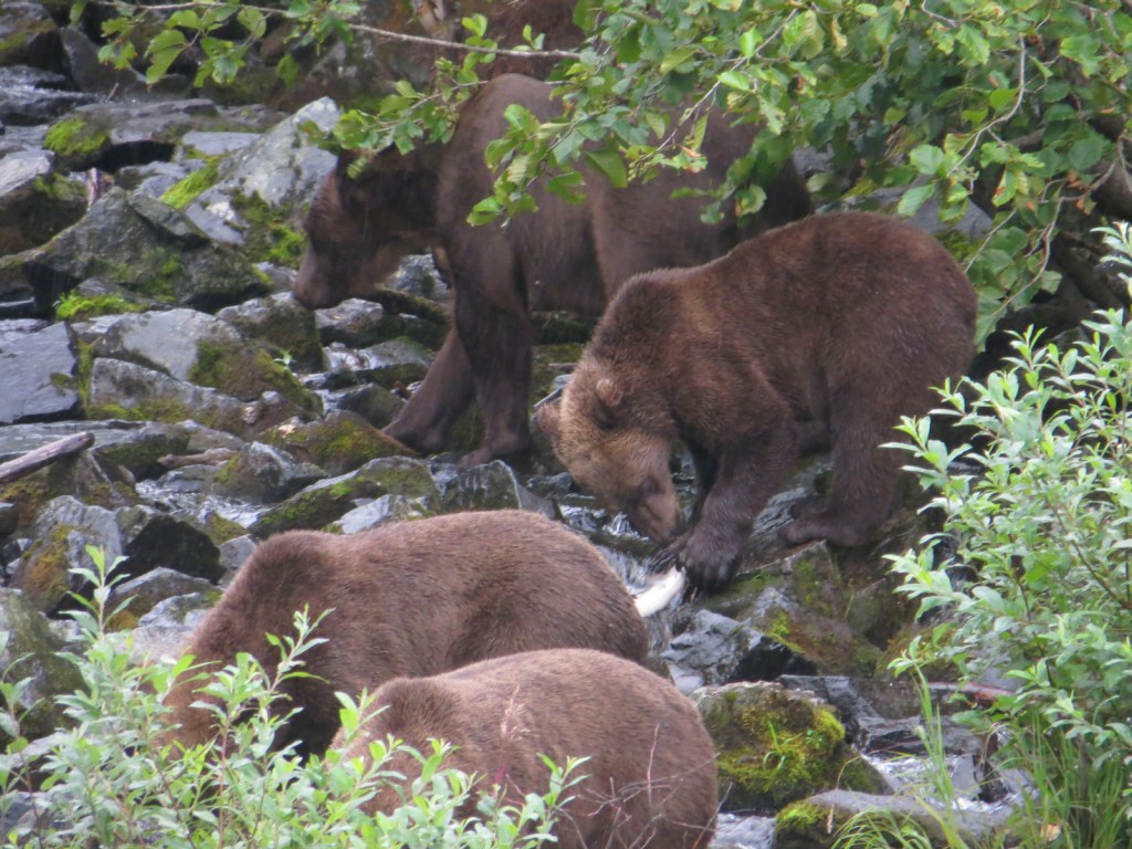
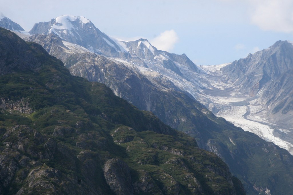
You can easily see the twin 10,000-foot volcanoes (Redoubt and Iliamna) within the park from Anchorage or Homer on a clear day, but getting to them is no easy task. Your best bet is to take a float plane charter service and land on one of the big, glacier-fed lakes. While you are over there try to do some salmon fishing; that is why the brown bears and bald eagles like it here. The park’s visitor center is in Port Alsworth on Lake Clark, and another popular destination is Richard Proenneke Historic Site on Twin Lakes. The park’s best attraction may be the massive glaciers that cling to the peaks of the Alaska and Aleutian Ranges and the Chigmit and Neacola Mountains. Flying over a jagged glacial field offers a unique perspective on these giant rivers of ice and the boulder strewn valleys where gray, milky streams follow the wide pathways left by receded glaciers.
Best Trail
At the park’s visitor center in Port Alsworth, 2.5-mile Tanalian Falls Trail is the only officially maintained trail and a popular destination for backpackers. At Richard Proenneke Historic Site, we hiked the scenic and steep Teetering Rock Trail less than a mile up to its namesake boulder that moves when you push on it.
Instagram-worthy Photo
Viewed from above, Double Glacier appears cracked and fissured like the skin on the back of a human hand. Rocky debris in lines of black accentuate the frozen white that hint at the slow flow of the ice river down the valley. Deeper crevasses reflect a cerulean shade that bewilders the eye in this otherwise monochrome landscape.

Peak Season
Summer
Hours
https://www.nps.gov/lacl/planyourvisit/hours.htm
Fees
None, but it is expensive to access by airplane. We took Kachemak Air Service to Twin Lakes and Talon Air Service to Double Glacier and Big River Lakes/Wolverine Creek.
Road Conditions
Essentially, there are no roads in Lake Clark National Park and Preserve.
Camping
No designated campgrounds exist within the park, so backcountry campers must come prepared with everything they need, plus the supplies required to wait an extra week for pickup should the weather turn bad.
Related Sites
Katmai National Park and Preserve (Alaska)
Chugach National Forest (Alaska)
Kenai Fjords National Park (Alaska)


Explore More – Before this area was a National Park, when did Richard “Dick” Proenneke arrive at Twin Lakes to begin building his cabin?

We are a participant in the Amazon Services LLC Associates Program, an affiliate advertising program designed to provide a means for us to earn fees by linking to Amazon.com and affiliated sites.