Overview
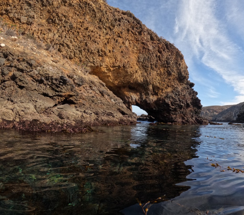
Arches National Park in Moab, Utah is home to 2,500 wind-carved holes in its famed orange sandstone, ranging in size from a minimum of three feet to 290-foot wide Landscape Arch (the fifth longest span in the world). As opposed to natural bridges which are carved by flowing water, arches are primarily wind formed, although water and ice can contribute.
Learn more in our guidebook to the National Parks, A Park to Yourself: Finding Adventure in America’s National Parks (available on Amazon).

Highlights
Delicate Arch, Balanced Rock, Landscape Arch, Fiery Furnace, Devils Garden Trail
Must-Do Activity
We recommend you reserve a spot on a ranger led hike through the twisting labyrinth of Fiery Furnace (additional fee). You can get a permit to go alone, but we are glad we had a guide or we might still be trying to find our way out. The beautiful red rocks really show their color at sunrise and sunset, so find a nice place to watch the show when you come. As depicted on the state license plate for Utah, Delicate Arch is a popular venue for sunsets.
Best Trail
When the crowds in the park overwhelm you, take the easy 8.3-mile drive down dirt Salt Valley Road to the trailhead for less visited Tower Arch. Seeing Tower Arch is worth the strenuous 3.4-mile roundtrip hike, but it can be hard to photograph.
Instagram-worthy Photo
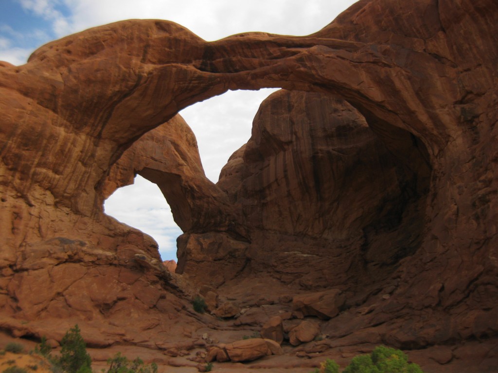
Double Arch is located near the North and South Windows and photographs well in the late afternoon.
Peak Season
Spring and fall
Hours
https://www.nps.gov/arch/planyourvisit/hours.htm
Fees
$30 per vehicle or America the Beautiful pass
Road Conditions
The main road that dead ends at Devils Garden is paved, but there are some dirt roads in the park that require four-wheel-drive, high-clearance vehicles.
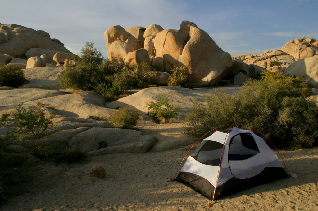
Camping
Devils Garden Campground is a great place to spend the night, with easy trail access to Broken Arch and Sand Dune Arch. The public land around Moab under the jurisdiction of the Bureau of Land Management is often overrun by dispersed campers.
Related Sites
Canyonlands National Park (Utah)
Natural Bridges National Monument (Utah)
Capitol Reef National Park (Utah)
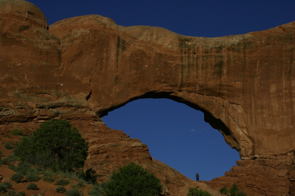
North Window 
Delicate Arch 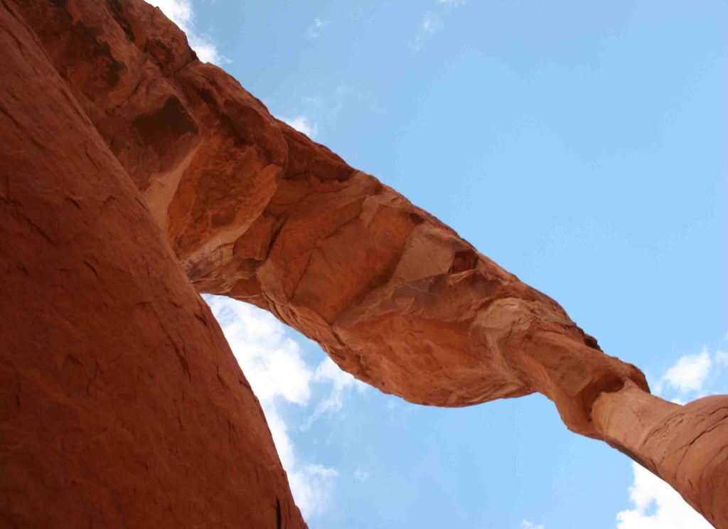
Underneath Delicate Arch 
Devils Garden Trail 
Tiff on Devils Garden Trail 
Scott at Double O Arch 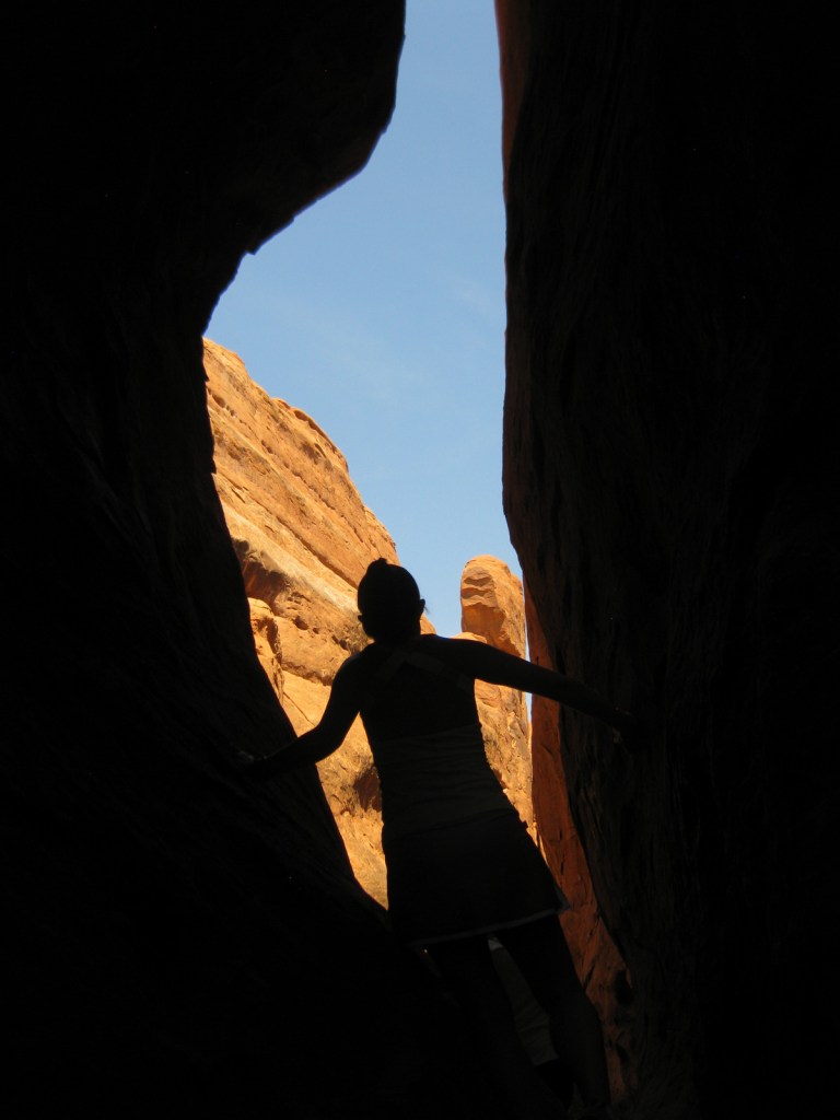
Tiff on Fiery Furnace Tour 
Tiff near Sand Dune Arch 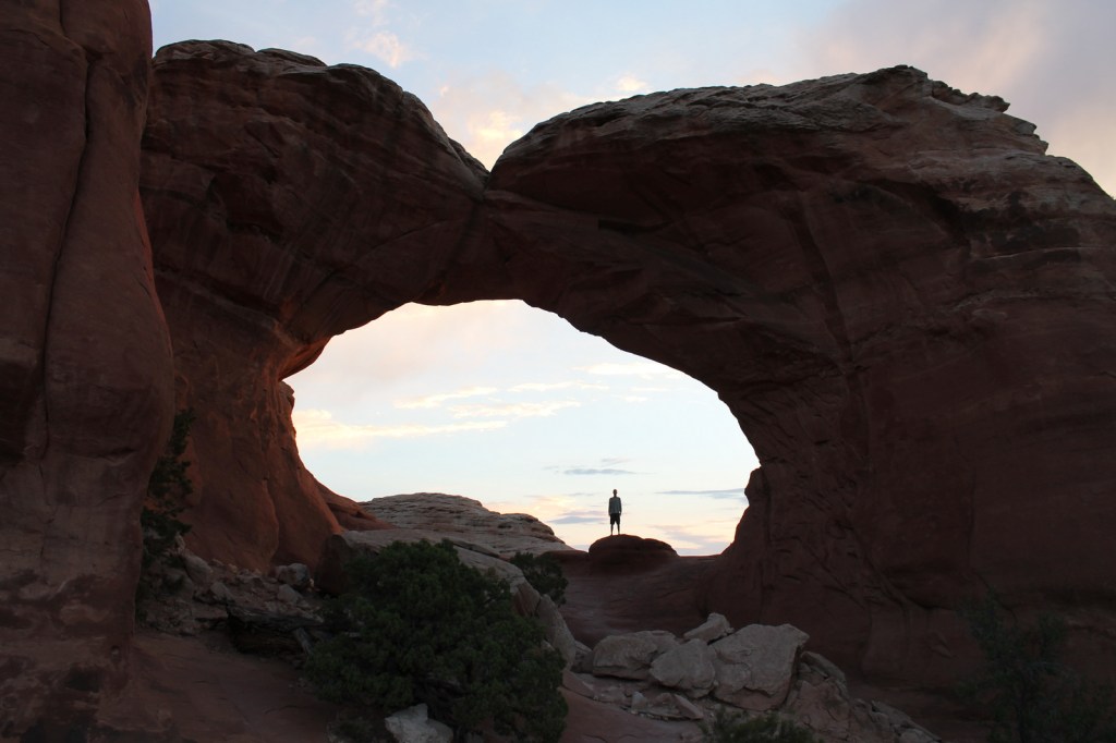
Scott in Broken Arch 
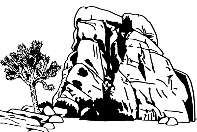
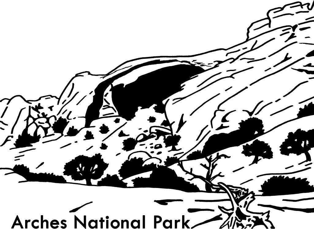
Landscape Arch (depicted in drawing below) 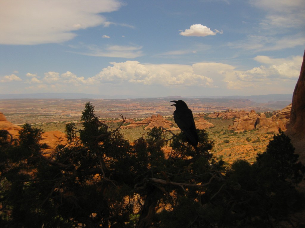
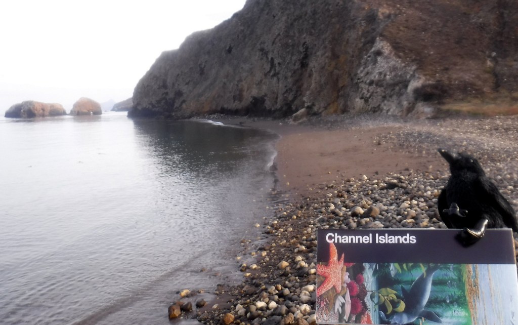
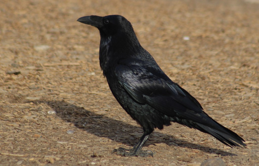
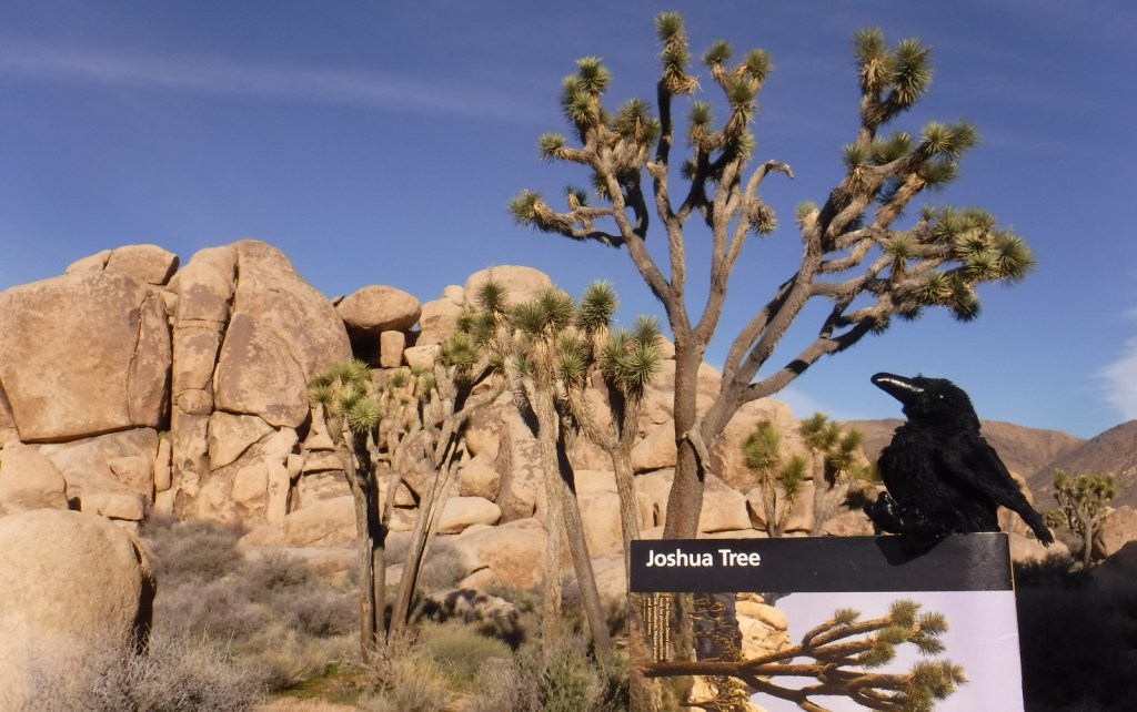
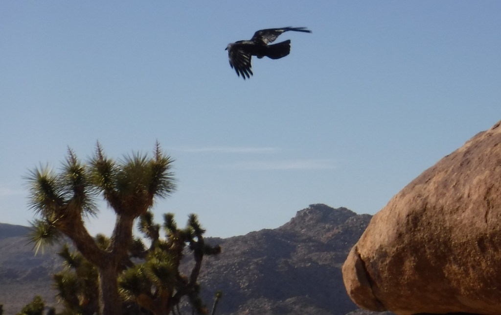
Raven about the park


Explore More – At 290 feet, Landscape Arch is the fifth longest span in the world; what country contains the four larger arches?


We are a participant in the Amazon Services LLC Associates Program, an affiliate advertising program designed to provide a means for us to earn fees by linking to Amazon.com and affiliated sites.