Overview
This interesting National Monument protects three separate Spanish missions that date to the 1600s, though its main visitor center in Mountainair, New Mexico is not next to any of them. Their location near salt flats led to the name Salinas and contributed to the pueblos’ abandonment when a major drought struck in the 1670s.
Highlights
Gran Quivira, Quarai, Abó, film at main visitor center
Must-Do Activity
Gran Quivira has the remains of two churches (the second unfinished at the time of abandonment) and the most significantly excavated pueblo ruins (with kivas) of the three sites.
Best Trail
Each of the three pueblos has a paved walkway that leads through its ruins that leaves from the parking lot and past its contact station staffed by a National Park Service employee.
Instagram-worthy Photo
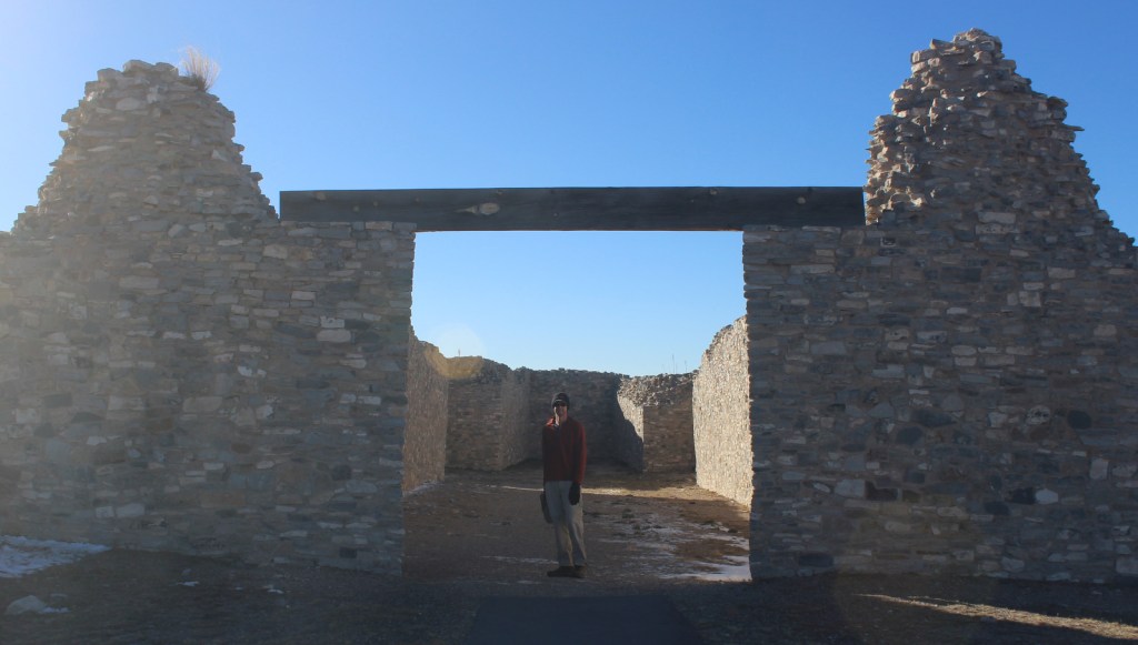
The church at Quarai is the most complete of the three sites and its red walls photograph well at sunset.

Peak Season
Spring and Fall
Hours
https://www.nps.gov/sapu/planyourvisit/hours.htm
Fees
None
Road Conditions
All roads paved
Camping
Manzano Mountains State Park has a seasonal campground 15 miles north of Mountainair, New Mexico.
The second unfinished church at Gran Quivira 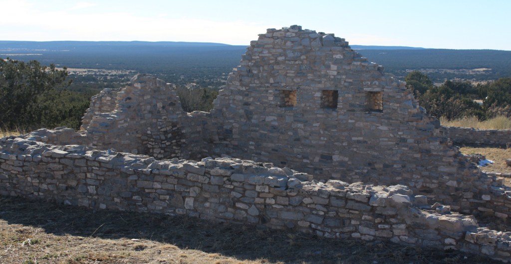
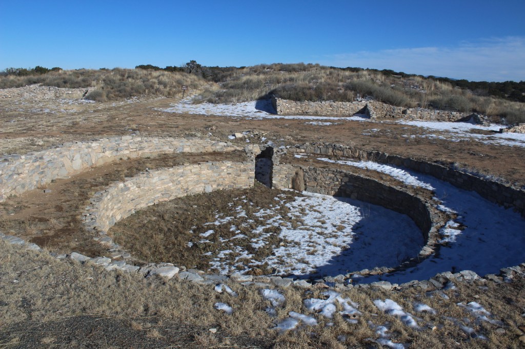
Kiva at Gran Quivira 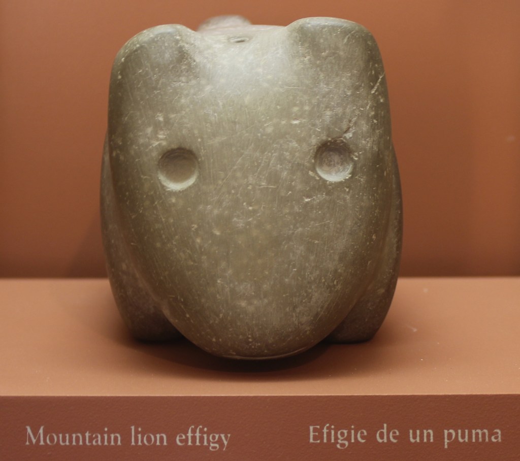
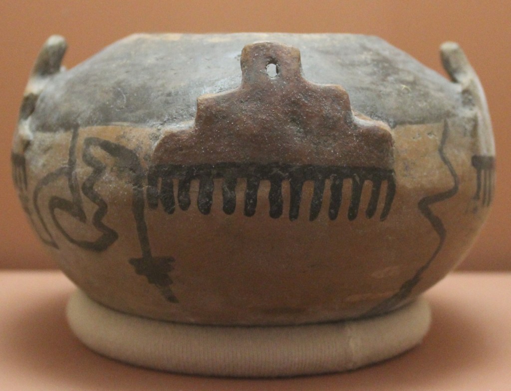
In addition to artifacts, the main visitor center has a good film to watch 
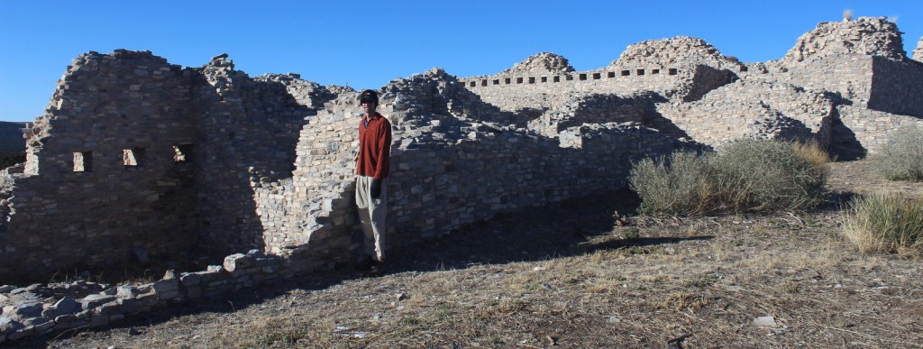
Scott at Quirai 
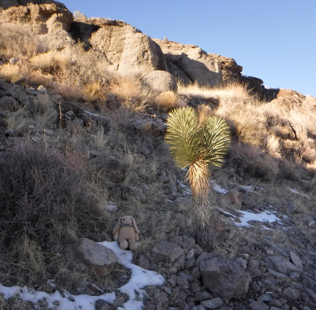
Cottontail rabbit ignoring the NPS sign 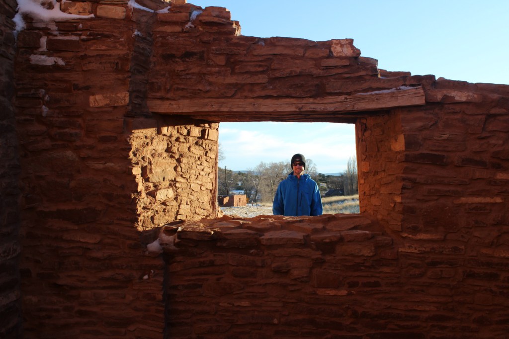
Explore More – Other than the major drought in the 1670s, what other factors contributed to the abandonment of these pueblos?