Overview
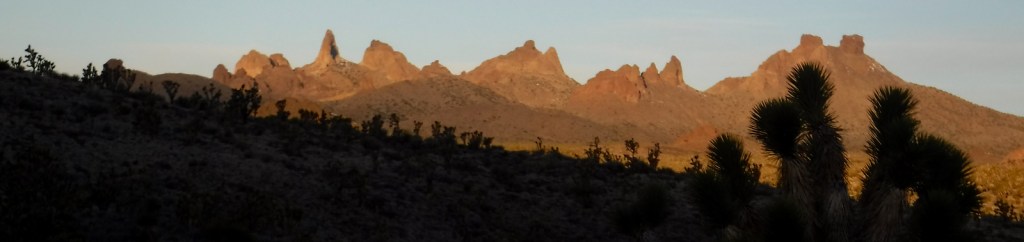
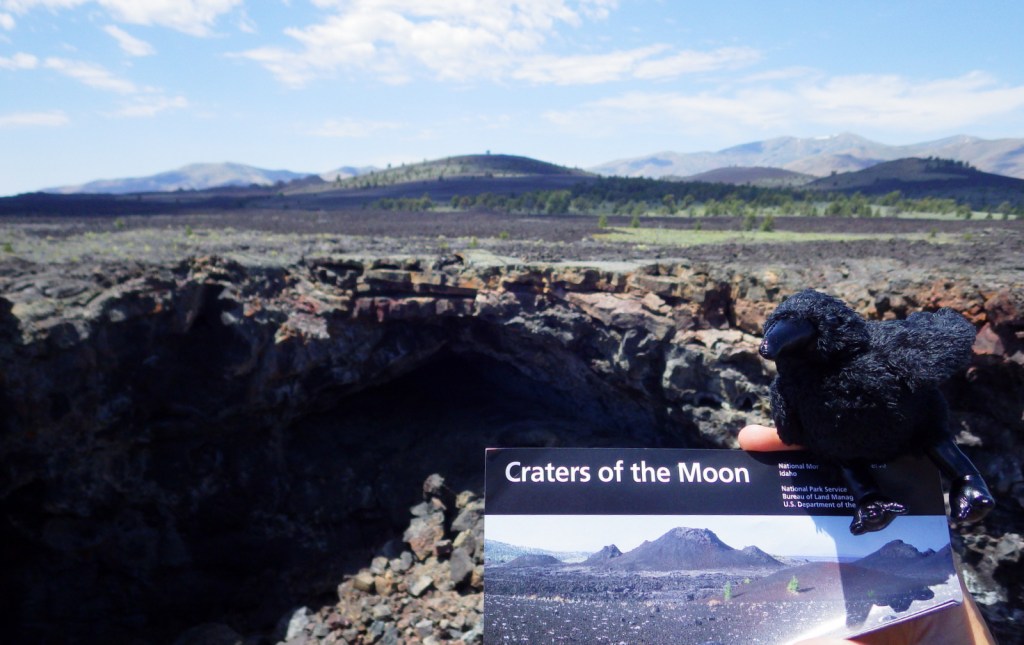
If you seek an otherworldly experience right here on Earth, look no further than Craters of the Moon National Monument and Preserve in southeastern Idaho. In the 1800s, this massive lava flow proved an obstacle to avoid for immigrants on the Oregon Trail. In 1969 it truly earned its lunar label by serving as a field school on volcanic geology for NASA Apollo astronauts.
Highlights
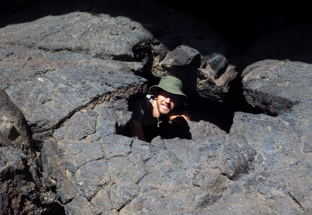
Boy Scout Cave, Indian Tunnel, cinder cones, tree molds
Must-Do Activity
The 7-mile loop road is paved and provides parking at several trailheads, including the wheelchair-accessible Devils Orchard Nature Trail. Cinder cones, lava tubes, and tree molds are some of the unique volcanic features seen from the trails. If you come here in the winter the loop road closes due to the amount of snow they receive at 6,000 feet elevation, but you can still explore on snowshoes and cross-country skis.
Best Trail
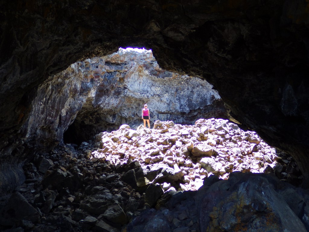
If you cannot make it to the incomparable Lava Beds National Monument in northern California, you can explore a couple of short lava tube caves here. To explore Indian Tunnel you will need a free permit, but you do not even need a flashlight. That is not the case inside the pitch black Boy Scout Cave.
Instagram-worthy Photo
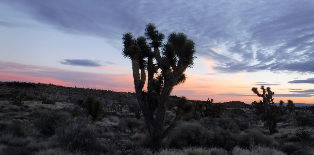
Unlike the moon, there is life here despite its blackened, rocky appearance. Hearty syringa bushes and limber pine trees sprout from cracks in the lava providing food and cover for sage grouse, pika, and other animals.

Peak Season
Summer, but it can get very hot on the black rocks without any shade.
Hours
https://www.nps.gov/crmo/planyourvisit/hours.htm
Fees
$20 per vehicle or America the Beautiful pass
Road Conditions
The 7-mile loop road is paved, but other all roads into the monument require a heavy-duty 4×4 with excellent tires.
Camping
There is a first-come, first-served campground near the visitor center off Highway 93 that provides water, but no RV hookups. Backpacking is allowed in the wilderness area.


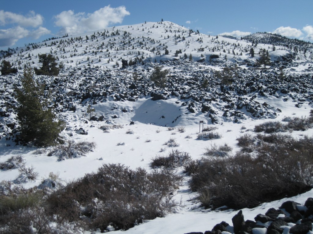
Craters of the Moon under a heavy blanket of snow in March
Explore More – In what year did the nearby town of Arco, Idaho became the first community in the world to utilize nuclear power?