Tag Archives: National Historic Trail

Missouri National Recreational River

Overview

Forming the border of Nebraska and South Dakota, the Missouri National Recreational River was originally designated in 1978, but only 300 of its 34,128 acres are managed by the National Park Service (NPS).  Its lower segment runs 59 miles from the Gavins Point Dam to Ponca State Park.  More than a decade later, a 39-mile stretch was added from the Fort Randall Dam to Niobrara State Park, and includes 20 miles of the Lower Niobrara River (which is itself designated a National Scenic River upstream).  The section of river in between is a 29-mile long reservoir known as Lewis and Clark Lake, named for the explorers that led the Corps of Discovery up this section of river in August-September 1804.

Highlights

Lewis and Clark Visitor Center, Gavins Point National Fish Hatchery and Aquarium, boating, fishing

Must-Do Activity

Most visitors come for the boating and fishing opportunities along the Missouri River.  If you are well-prepared, canoeing can be a fun way to experience these two relatively free-flowing sections of river.  The NPS and U.S. Army Corps of Engineers (COE) manage the Lewis and Clark Visitor Center near Yankton, South Dakota, which, in addition to dam tours, offers the Gavins Point National Fish Hatchery and Aquarium.

Best Trail

The 4,400-mile long Lewis and Clark National Historical Trail tracks through here, but since the Corps of Discovery used the Missouri River as their path, there is no hiking trail to follow.

Instagram-worthy Photo

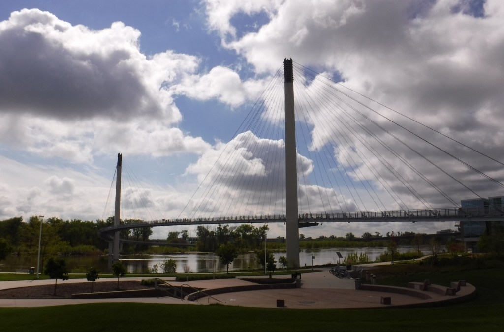
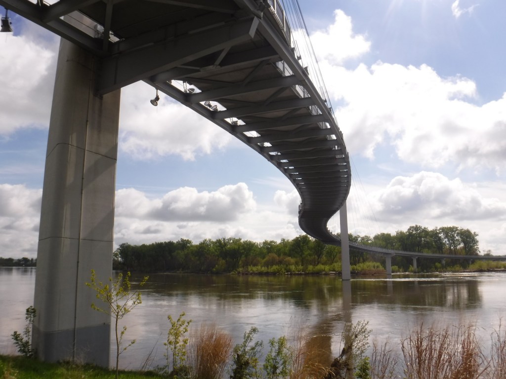
There are several great museums along the Missouri River section of the Lewis and Clark National Historical Trail.  Our favorite is the NPS headquarters for the trail in Omaha, Nebraska, which has the beautiful Bob Kerrey Pedestrian Bridge across the river connecting to Iowa.  If you drive over to Council Bluffs, do not miss the free museum at the Western Historic Trails Center.
Peak Season

Summer

Hours

https://www.nps.gov/mnrr/planyourvisit/hours.htm

Fees

None for the NPS unit, but the state parks charge admission.

Road Conditions

Roads to the state parks and visitor centers are paved, but there are many dirt roads that access boat launches along the river.

Camping

Niobrara State Park and Ponca State Park both have more than 100 campsites with running water.  The COE also operates campgrounds near its dams.

Related Sites

Niobrara National Scenic River (Nebraska)

Knife River Indian Villages National Historic Site (North Dakota)

Lewis and Clark National Historical Park (Oregon-Washington)

Explore More – In the aftermath of several devastating floods, when did Congress enact the Flood Control Act to construct five dams along the Missouri River?

Lewis and Clark National Historical Park

Overview

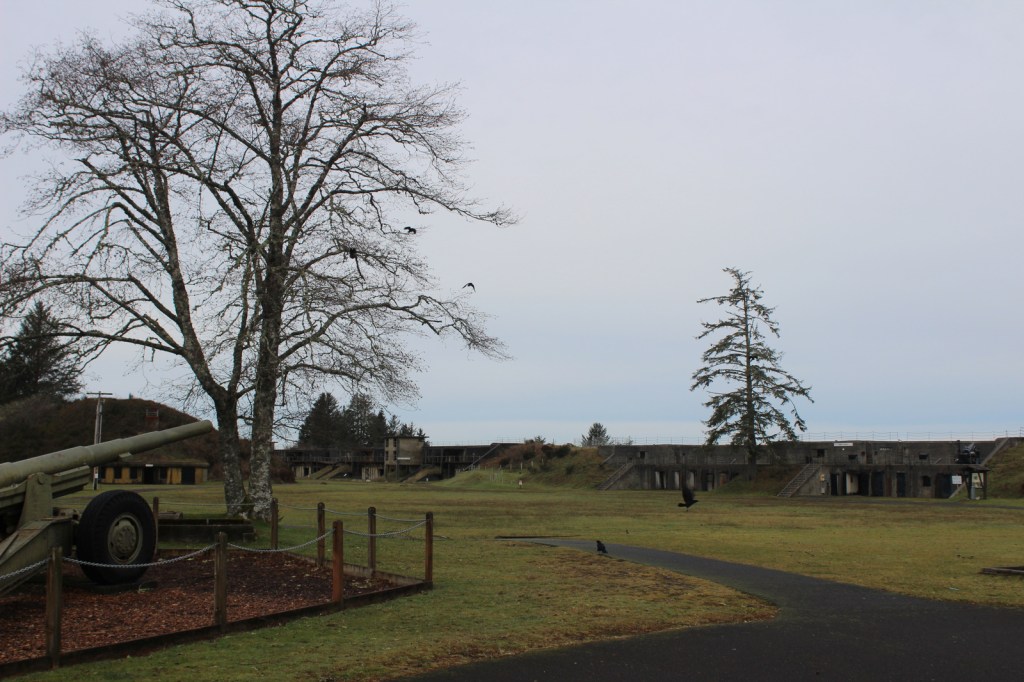
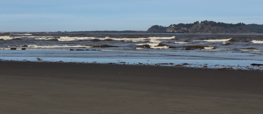
In the wake of the Louisiana Purchase in 1803, President Thomas Jefferson was anxious to know what he had just bought from France and find out if it provided an easy route to the Pacific Ocean.  He tapped his secretary Captain Meriwether Lewis as leader of the Corps of Discovery, who in turn named his former colleague Captain William Clark co-commander.  Lewis and Clark National Historical Park celebrates the wet winter of 1805-06 that the expedition spent on the coast of Oregon at the mouth of the Columbia River.

Highlights

Fort Clatsop, Fort to Sea Trail, Cape Disappointment State Park, Fort Stevens State Park

Must-Do Activity

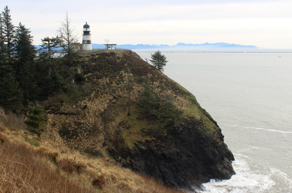
The park is spread across multiple sites, including scenic Cape Disappointment State Park in Washington, plus Fort Clatsop and Fort Stevens State Park in Oregon.  Fort Clatsop was named a National Memorial in 1958 and still serves as the primary National Park Service (NPS) visitor center with exhibits and a film.  Other points of interest include the spot Sacagawea visited to see a beached whale and the salt works where seawater was boiled to produce the necessary commodity for the return trip.

Best Trail

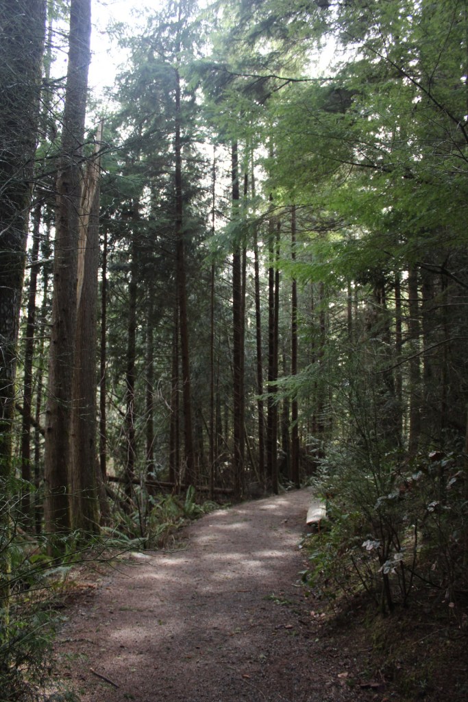
When the Corps of Discovery finally saw the Pacific Ocean on November 7, 1805, Clark journaled, “Ocian in view! O! the joy.”  You can follow in their footsteps by starting at Fort Clatsop then hiking the 6.5-mile one-way Fort to Sea Trail, which marks the terminus of the 4,900-mile long Lewis and Clark National Historic Trail (which is mostly a driving route).

Instagram-worthy Photo

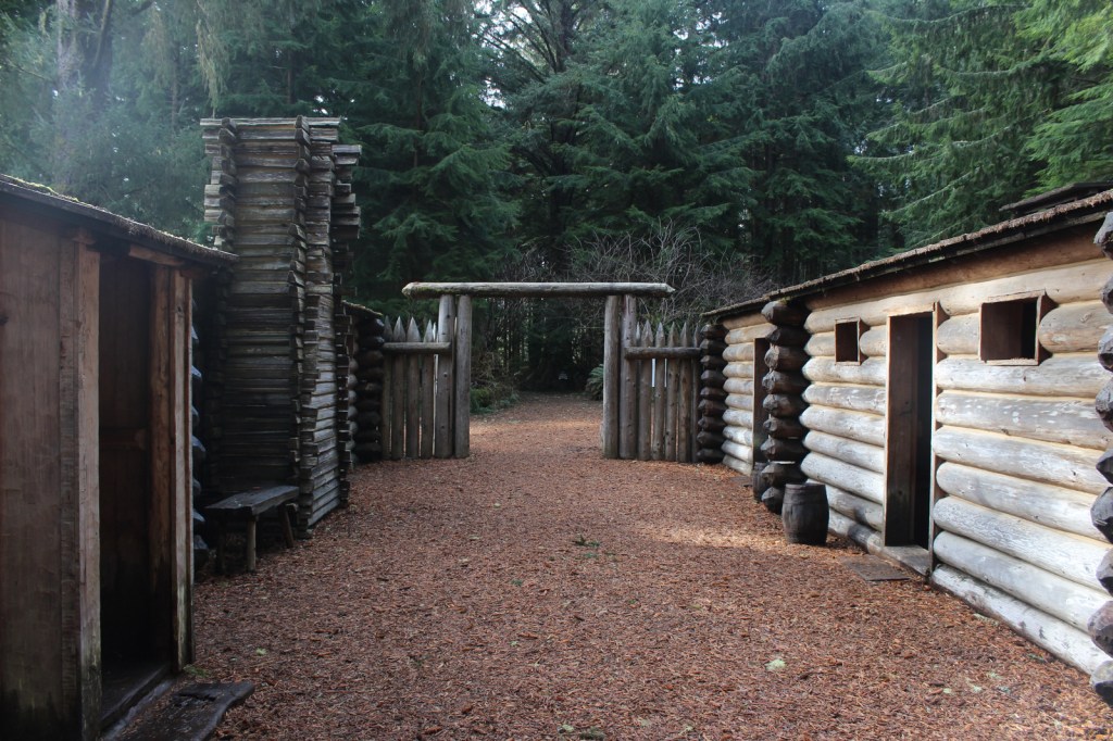
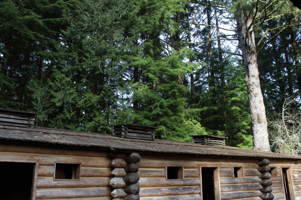
Fort Clatsop is a well-made replica of the small structure where Lewis and Clark spent the winter of 1805-06 and inside you will find rustic furniture similar to that built in 1805.

Peak Season

Summer for costumed demonstrations, though a winter visit would be more historically accurate.

Hours

https://www.nps.gov/lewi/planyourvisit/hours.htm

Fees

$10 per person to visit Fort Clatsop (or America the Beautiful pass) and each State Park has a separate entry fee

Road Conditions

Access roads are paved

Camping

Fort Stevens State Park on the Oregon coast has hundreds of campsites for tents and RVs, and there is also camping available at Cape Disappointment State Park in Washington.

Related Sites

Knife River Indian Villages National Historic Site (North Dakota)

Nez Perce National Historical Park (Idaho-Oregon-Washington)

Missouri National Recreation River (Nebraska-South Dakota)

Explore More – Where did the Corps of Discovery spend the winter prior to Fort Clatsop and first meet Sacagawea?

We are a participant in the Amazon Services LLC Associates Program, an affiliate advertising program designed to provide a means for us to earn fees by linking to Amazon.com and affiliated sites.

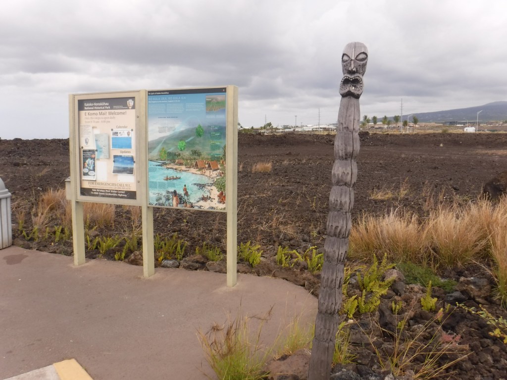
Kaloko-Honokōhau National Historical Park

Overview

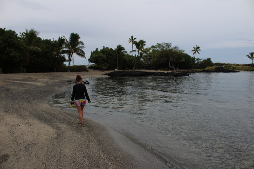
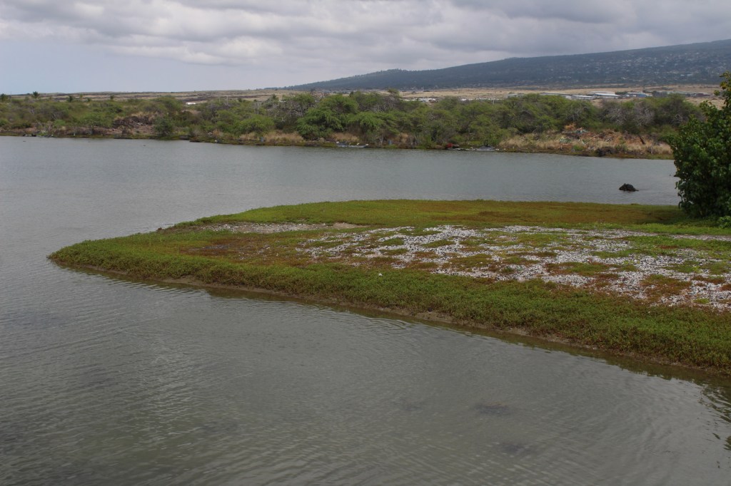
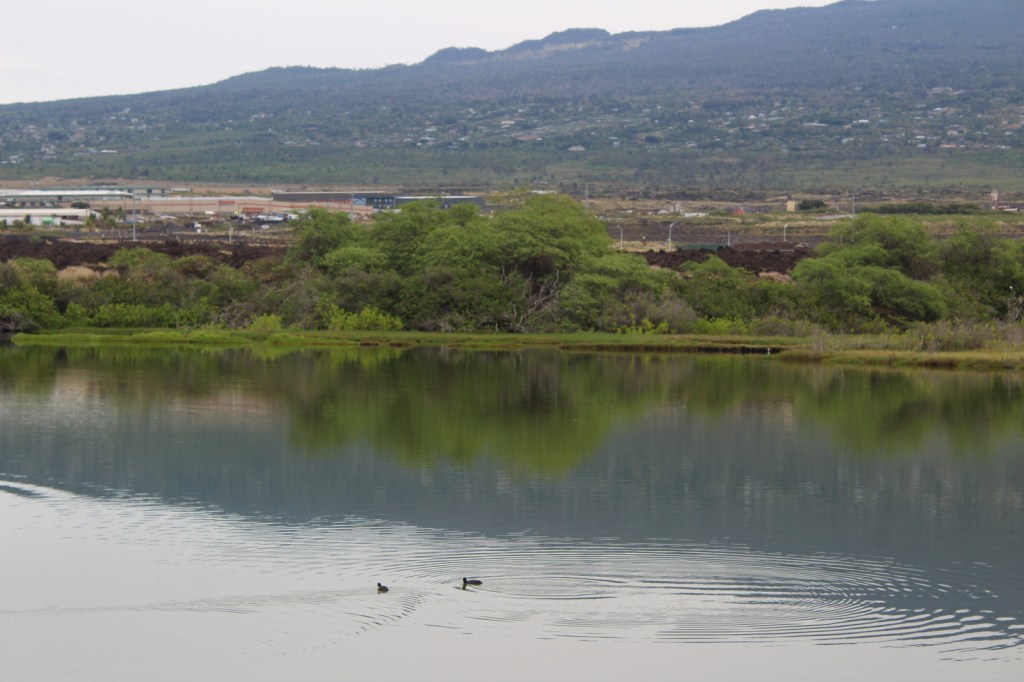
On the west coast of the Big Island of Hawai‘i, Kaloko-Honokōhau National Historical Park was established in 1978, the same year the green sea turtles were federally listed as a threatened species.  This park’s current population of 130 long-term resident juvenile turtles is believed to be a direct result of that protection.  The honus (green sea turtles) are visible both in the clear ocean water and onshore in haul-outs.

Highlights

Honokōhau Beach, ‘Ai‘ōpio fishtrap, heiau (temple), Ala Kahakai National Historic Trail, Kaloko fishpond, green sea turtles

Must-Do Activity

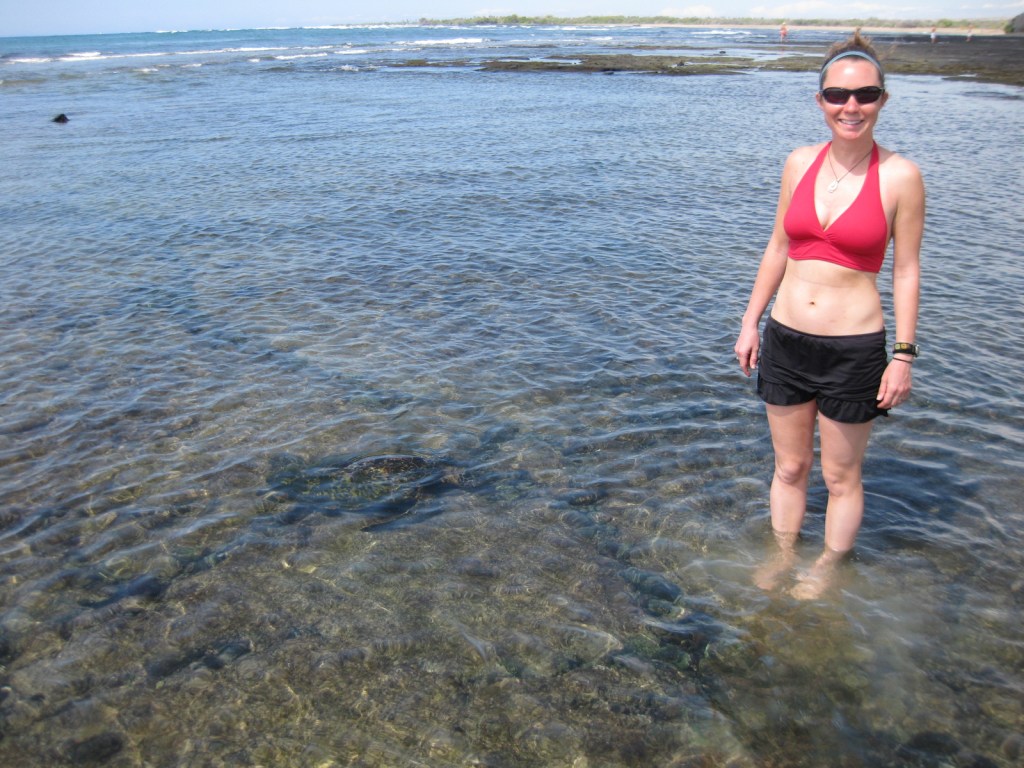
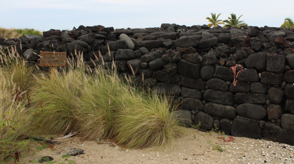
Just like wading humans, green sea turtles are attracted to the shallow, calm waters created by the ‘Ai‘ōpio fishtrap, an artificial reef built of black lava rock.  Some of these young sea turtles already weigh 140 pounds!  Please refrain from touching or lifting the turtles.  Instead, sit in the sun on a white gravelly beach to watch the methodical paddling of these ancient reptiles on this undeveloped portion of coast on the largest island in the United States.

Best Trail

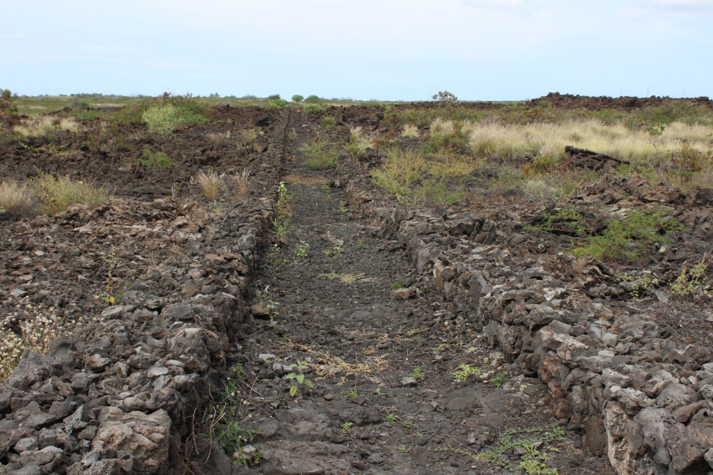
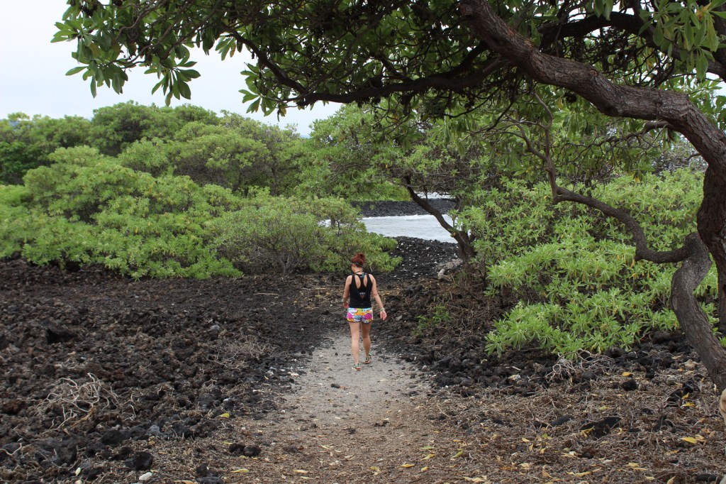
Visitors cannot park at the beach, instead they have to walk a half-mile one-way, which keeps the numbers down.  Two historic trails go to fishponds in this dry, volcanic landscape.

Instagram-worthy Photo

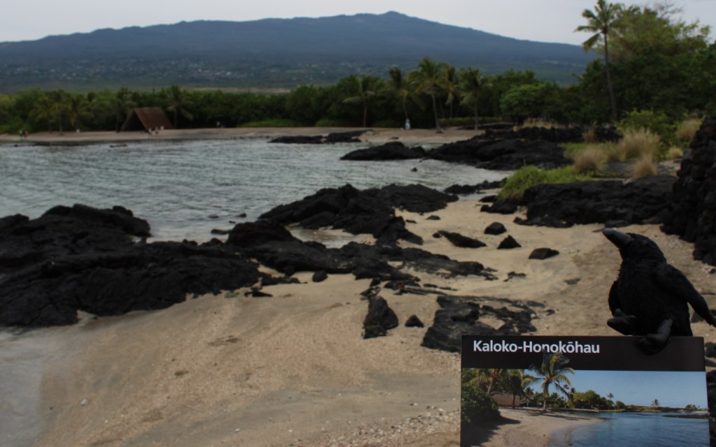
At Honokōhau Beach, next to the ‘Ai‘ōpio fishtrap is a reconstructed hālau (long house), a nice spot to take a break in the shade.

Peak Season

Year round

Hours

https://www.nps.gov/kaho/planyourvisit/hours.htm

Fees

None

Road Conditions

The main entrance is off Highway 19, but there is a good dirt road that accesses Kaloko fishpond that is gated at night.

Camping

Hawai‘i Volcanoes National Park offers a campground, but if you want to camp near the beach look into the state parks and county parks.

Related Sites

Pu’uhonua o Honaunau National Historical Park (Hawai‘i)

Pu’ukohola Heiau National Historic Site (Hawai‘i)

Kalaupapa National Historical Park (Hawai‘i)

Explore More – What did native Hawaiians use to line their 150-foot long hōlua (stone slide) for racing toboggan-like sleds?

Belmont-Paul Women’s Equality National Monument

Overview

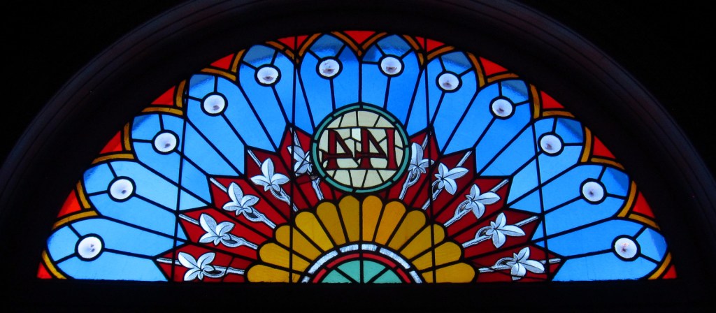
The house at 144 Constitution Avenue NE in Washington, D.C. has an interesting history.  First constructed by the Sewall family in 1799 near the new U.S. Capitol building, it was burned by British troops during the War of 1812.  After being renovated by Vermont Senator Porter H. Dale in the 1920s, it was purchased by Alva Vanderbilt Belmont as a replacement headquarters for the National Woman’s Party (NWP).  In 1972, it was named the Sewall-Belmont National Historic Site, affiliated with the National Park Service (NPS), who took over full control when it was established as a National Monument in 2016. 

Highlights

Historic artifacts, sculptures, tours

Must-Do Activity

Free tours are given at specific times (see Hours below) by the NPS, but otherwise visitors can read the museum displays on both floors of the house.  The name Belmont-Paul Women’s Equality National Monument refers to the aforementioned Alva Vanderbilt Belmont and Alice Paul, a militant suffragette who was arrested during World War I for picketing outside the White House.  The protesters were attacked by men on the street, vilified in the newspapers, and abused in prison where they were force-fed during hunger strikes.  In August 1920, these brave women achieved vindication with the passing of the 19th Amendment allowing all women the right to vote in the U.S.A.

Best Trail

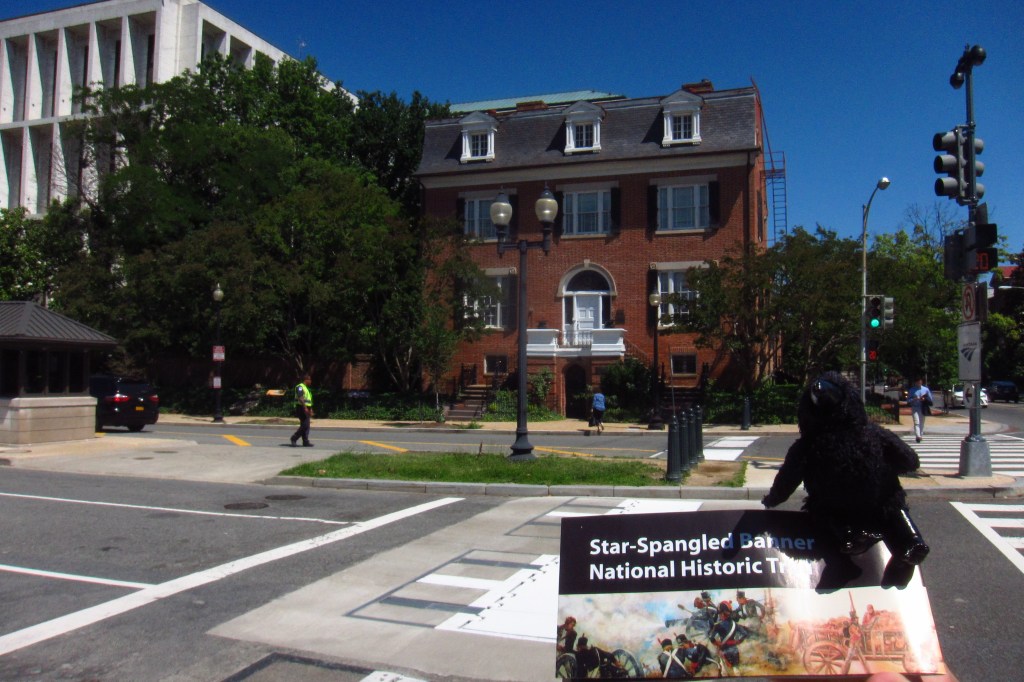
The Sewell House has a placard outside as part of the Star-Spangled Banner National Historic Trail.  In 1814, the British believed there were snipers posted inside the house and burned it down, one of the few private residences destroyed during their march through Washington, D.C. during the War of 1812.

Instagram-worthy Photo

A statue of Joan of Arc greets visitors in the front hallway of the house.  Our tour guide said that the statue is attached to the house’s foundation and is completely immovable. 

Peak Season

Summer

Hours

https://www.nps.gov/bepa/planyourvisit/hours.htm

Fees

None

Road Conditions

There is no designated parking lot, so you have to find street parking or take the Metro.

Camping

None

Explore More – In August 1920, which state became the 36th to ratify the 19th Amendment, officially adding it to the U.S. Constitution?

Bent’s Old Fort National Historic Site

Overview

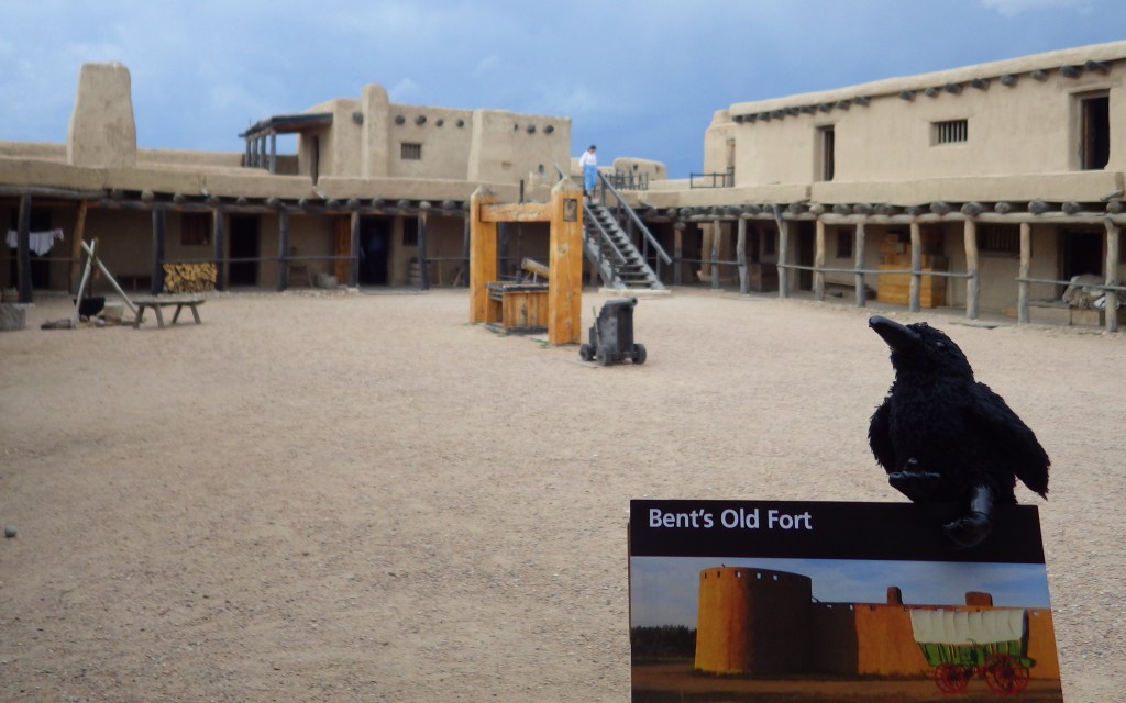
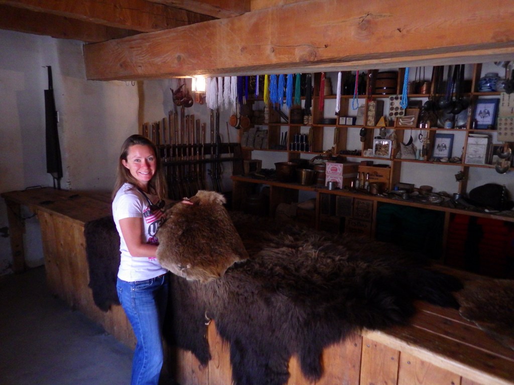
Bent’s Old Fort on the Arkansas River on the prairie of eastern Colorado has been painstakingly reconstructed to its appearance of 1845.  It was originally built in 1833, long before Fort Larned and Fort Union announced the U.S. military presence on the 1,200-mile-long Santa Fe Trail.  Historical reenactors are happy to talk to visitors about the site and its famous inhabitants and visitors.

Highlights

Reconstructed fort, film, living history

Must-Do Activity

The “old fort” was originally built with the financial backing of the two Bent brothers from St. Louis and a Taos trader named Ceran St. Vrain.  It was a huge success, bringing a period of peace to warring tribes on the Great Plains, particularly after William Bent married a Cheyenne woman.  Things changed once Texas was annexed by the U.S. in 1845 and the military moved in, spurring a move to Bent’s New Fort 38 miles downstream.  

Best Trail

The parking lot is less than a half-mile walk from the fort, yet we found that approaching on foot added to the historic experience, as did speaking with the reenactors roaming inside.  Closer handicap parking is available.  Another trail leads to the banks of the Arkansas River on a 1.75-mile loop.

Instagram-worthy Photo

In 1975, the adobe fort was reconstructed on its original foundation in southeast Colorado based on drawings by Lieutenant James Abert, a topographical engineer stationed here in 1845 and 1846. 

Peak Season

Summer, but watch for afternoon thunderstorms.

Hours

https://www.nps.gov/beol/planyourvisit/hours.htm

Fees

$3 per adult except $5 during June 8-9 Santa Fe Trail Encampment, September 15 Hispanic Heritage Day, October 20 Native American Heritage Day, and the December 7-8 Traditional Holiday Celebration. America the Beautiful pass accepted, too.

Road Conditions

All roads paved, although they can be closed due to spring floods on the Arkansas River.

Camping

There are private campgrounds in nearby La Junta, Colorado and a public one run by the Corps of Engineers at John Martin Reservoir (27 miles east on Highway 50).

Explore More – What combination of factors led William Bent to burn the original fort and build a new one 38 miles down the Arkansas River?