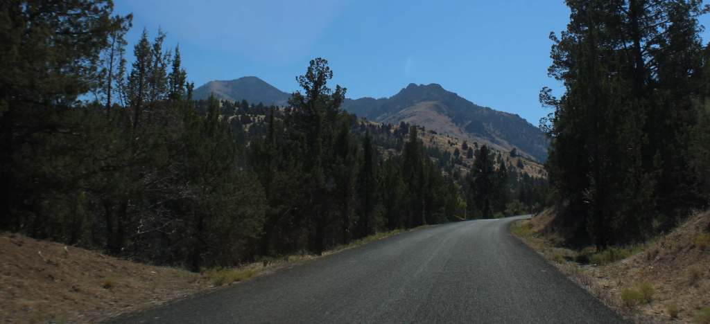
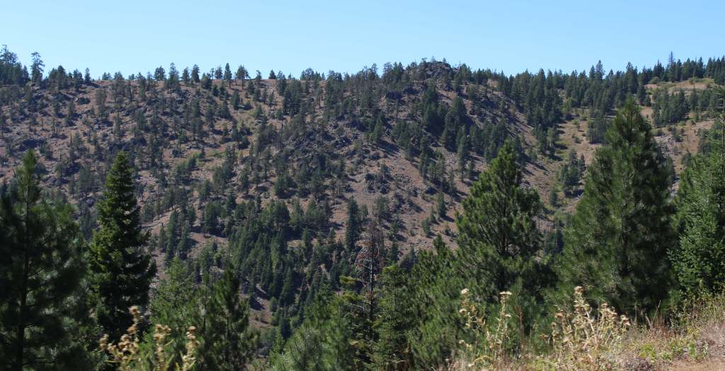
In central Oregon, Malheur National Forest encompasses the Strawberry Range and Aldrich Mountains that run into the Blue Mountains. Much of its area is high desert, with grasslands, sagebrush, and juniper the predominant vegetation. Malheur National Forest contains the “Humongous Fungus,” a honey fungus (Armillaria solidipes) that spans 2,200 acres and is considered the largest known organism by area in the world. It is located mostly underground, high on a ridgeline immediately west of Clear Creek (44.4731°N 118.4816°W).
Know someone who loves the National Forests? Gift them our travel guidebook Out in the Woods so they can learn more about this and the 154 other National Forests.
Highlights
Journey Through Time Scenic Byway, Cedar Grove Botanical Area, Yellowjacket Reservoir, Indian Rock-Vinegar Hill Scenic Area, Swick Old Growth Interpretive Site, Rosebud Creek, Arch Rock, Magone Lake, Tamarack Creek Trail, McClellan Mountain Trail
Must-Do Activity
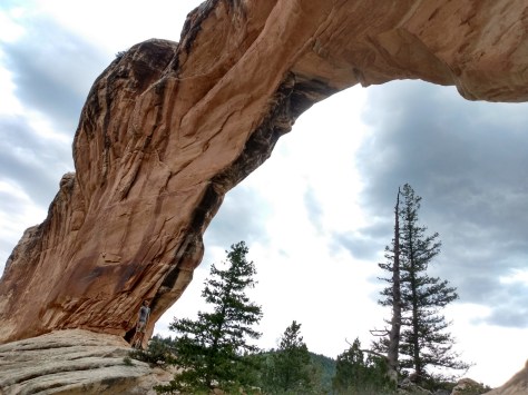
The northeast corner of the National Forest includes the 4,000-acre Indian Rock-Vinegar Hill Scenic Area with its beautiful alpine meadows that bloom high in the Greenhorn Mountains. For geology enthusiasts, Arch Rock is an easy hike to a 15-foot opening in soft ashflow tuff, Tex Creek has a natural bridge, and fossilized shells are found around Rosebud Creek.
Best Trail
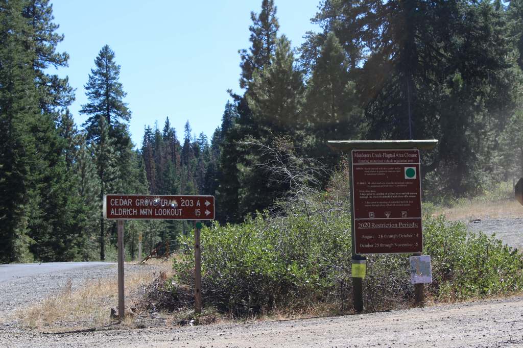
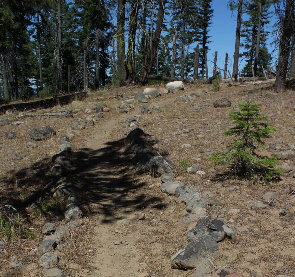
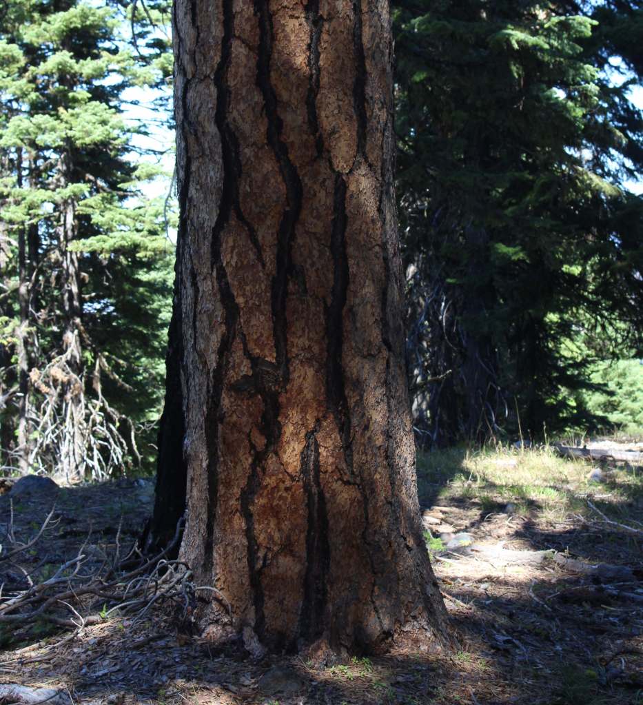
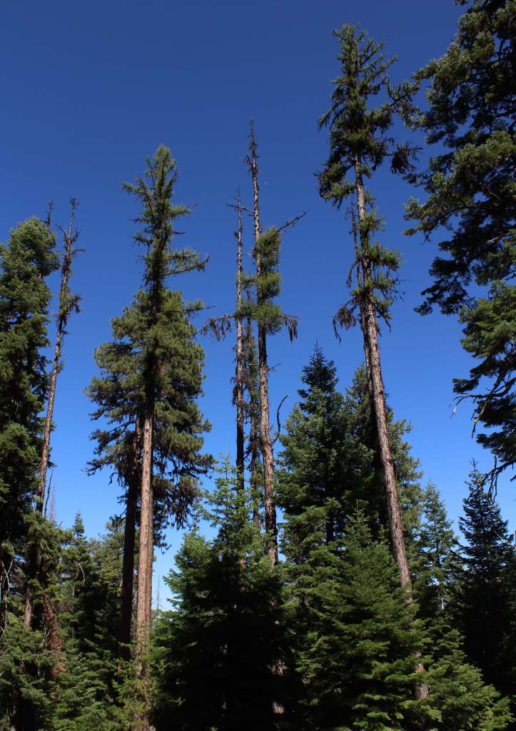
In the Aldrich Mountains, Cedar Grove Botanical Area preserves the only stand of yellow-cedars found east of the Cascade Range. Some of these trees are more than 300 years old, hanging on for life along Buck Cabin Creek where a fire recently burned more than half of the 60-acre stand. Access is by a National Recreation Trail, which drops precipitously into the grove, making for a strenuous hike out. The trail is lined with plant identification placards and was pocked with deer hoofprints when we visited. The trailhead is well-marked, located 5.5 miles down a dirt road after climbing ten miles on paved Forest Road 21 south of Highway 26. Check conditions before departing, as some roads may be closed within the Rail Ridge Fire area.
Watchable Wildlife
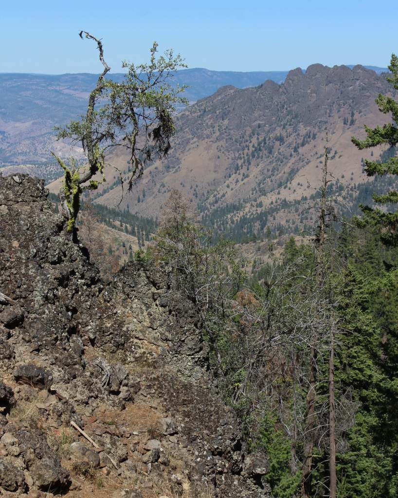
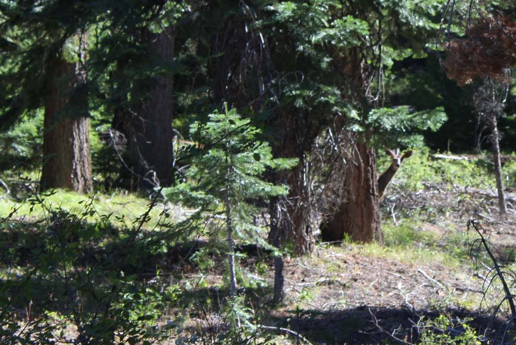
Elevations in Malheur National Forest range from 4,000 feet up to the top of 9,038-foot Strawberry Mountain. Elk, pronghorn, and mule deer are large ungulates found here. Carnivorous mammals include black bears, coyotes, mountain lions, and bobcats that roam the high desert environment. Large birds frequently seen are bald eagles, Canada geese, mallards, and whistling swans. Streams and lakes found throughout the National Forest support a variety of gamefish, including trout. To the south, Malheur National Wildlife Refuge encompasses 185,000 acres of marshes, meadows, and man-made ponds that provide habitat crucial for bird nesting and migration.
Photographic Opportunity
I did my M.S. research project on yellow-cedar (Callitropsis nootkatensis), so I had to visit Cedar Grove Botanical Area. The trees are a popular ornamental species best known for their drooping branches and shallow root systems that allow them to survive in extremely wet soils. Found from sea level up to 7,000 feet, they regularly live more than 1,000 years, growing slowly with chemicals compounds that prevent wood rot.
Peak Season
Summer
Fees
None
Road Conditions
Highway 395 runs north-south through the National Forest, while Highway 26 runs east-west. The dirt roads we drove to access Cedar Grove Botanical Area were in good condition, although dry and dusty at the end of the summer.
Camping
There are numerous campgrounds in Malheur National Forest; none take reservations and some have fees that apply from May through October. Some campgrounds are free, like Cane Crossing, Crescent, and Elk Creek, and dispersed camping is also allowed.
Wilderness Areas
Monument Rock Wilderness (also in Whitman National Forest)
Explore More – The Malheur River is named for the French word for “misfortune;” why was it given that name?
Know someone who loves the National Forests? Gift them our travel guidebook Out in the Woods so they can learn more about this and the 154 other National Forests.
We recently published our guidebook 50 States of Great: Road Trip Guide to America, so we decided to start a new type of blog post where we create a travel itinerary for all 50 states, in addition to our usual National Forest and National Park entries. After starting with Kansas, Georgia, Idaho, Rhode Island, Minnesota, Hawai’i, Arizona, Louisiana, South Dakota, Indiana, and Montana, we decided to do another state in the deep south. We made an ambitious seven-day plan starting in the south on the Gulf Coast and then zigzagging across the state with plenty of options to extend the trip.
You will have to take a ferry to enjoy the white sand beaches of West Ship Island, which are considered some of the best in the U.S. If you are stuck on the mainland, at least check out the visitor center and hiking trails just off Interstate 10.
Biloxi
Biloxi has beaches, a lighthouse, casinos, and the Maritime and Seafood Industry Museum. I still want to see the Patriarch Oak, estimated to be more than 2,000 years old and located at Mary Mahoney’s Old French House seafood restaurant.
Tuxachanie National Recreation Trail runs 12 miles through De Soto National Forest with the path from its western trailhead following an old logging railroad right off Highway 49. Near the far eastern end of the trail is a lakeside World War II Prisoner of War camp with a pond.
Some sandhill cranes migrate to this forested spot for the winter, but a small population lives there year-round. There are trails, interpretive signs, and a visitor center.
National Park Service (NPS) rangers or volunteers are on location at the William Johnson House, Melrose Estate, and the Forks of the Road where hundreds of thousands of slaves were sold in the 1800s. The William Johnson House tells the story of a slave freed at age 11 who apprenticed to a barber, and became a successful businessman before his murder.
There is a nice campground with showers on Clear Springs Lake, accessed by a paved road four miles south of Highway 84. A one-mile trail circles the lake, which has a picnic shelter built by the Civilian Conservation Corps (CCC) in 1935 that is listed on the National Register of Historic Places.
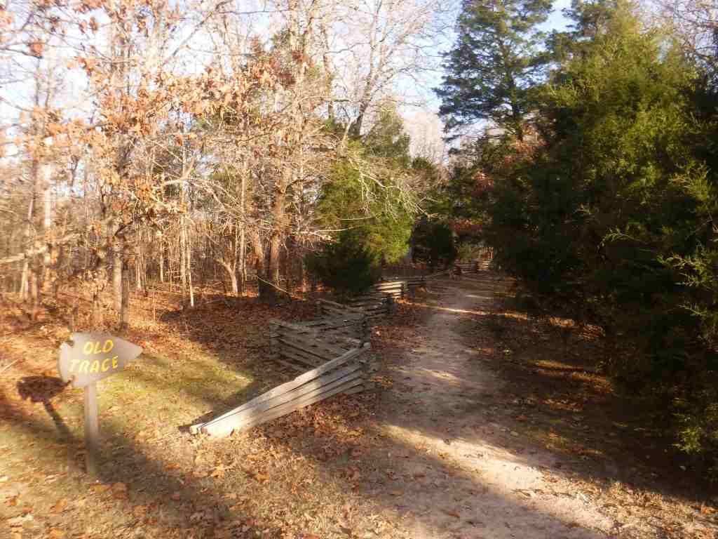
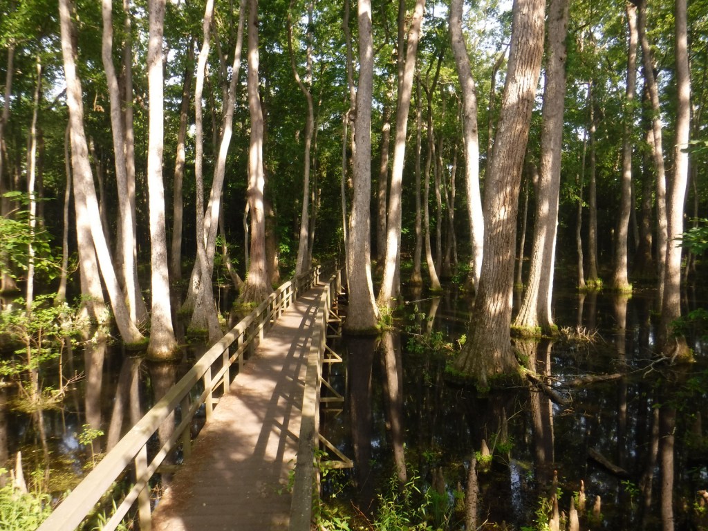
This paved road runs 444 miles from the Mississippi River to Nashville, Tennessee, including 309 miles in Mississippi. The trace (or trail) started as an American Indian footpath and was heavily used in the 1800s by “Kaintuck” flatboatmen returning from New Orleans who left the Mississippi River at Natchez and continued on foot north. At several roadside pullouts, you can still follow portions of the “sunken” trail worn down by travelers over the centuries. Popular stops along the way include the boardwalk at Cypress Swamp outside Jackson and its three free campgrounds.
Paralleling the parkway, this trail exists in five segments totaling 67 miles in length. One of the longest sections is located north of Jackson (Miles 108-130). There are also eight miles of the original trace around the free Rocky Springs Campground (Mile 58) accessing Owens Creek Waterfall and a historic town site.
Day 4
Jackson
The capital city is home to the Mississippi Civil Rights Museum, Museum of Mississippi History, and Mississippi Agriculture and Forestry Museum. The Mississippi Museum of Natural Science is a 73,000-square-foot facility situated in a 300-acre forest with 2.5 miles of trails that also boasts a 200-seat theater and many aquariums, including “The Swamp” where alligators reside inside a large greenhouse.
In Jackson, the National Park Service manages the former home of a prominent Civil Rights Leader who was assassinated in his driveway in 1963. Across the street, there is a sidewalk through Myrlie’s Garden, a community garden where interpretive signs on the wooden fence tell the story of the Evers family.
There are several lakes here open to the public, including 50-acre Marathon Lake (which got its name a lumber company that closed in 1929). The lake was built in the 1950s for recreation in a former logging camp and now has 34 campsites (with water and electric hook-ups), a boat ramp, a swimming area, and a 1.7-mile trail that circles it.
The numerous failed attempts to take Vicksburg by force are evidenced by the 17,000 soldiers buried in the National Cemetery here. Following a 46-day bombardment, the city finally surrendered on July 4, 1863. The best part of visiting the park is walking through the partially-reconstructed U.S.S. Cairo, an ironclad gunboat which was carefully salvaged from the Yazoo River during the 1960s.
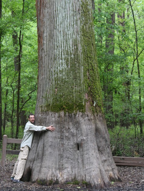
Delta National Forest is seasonally flooded for wildlife, but it was dry enough to walk up to the Kay Cypress Tree even when other trails were underwater during our April visit. The tree is more than ten feet in diameter even above the widely fluted base common to baldcypress. It is located across from Blue Lake on unpaved Fire Tower Road.
Located in a former cotton gin near the site of Emmett Till’s torture and murder on the farm of “J.W.” Milam in Glendora. Established in 2005, there is an atmosphere to the museum that bears the full weight of history, heightened by the short introductory video showing Emmett Till’s family members’ recollections of the events of 1955.
The National Park Service operates out of the Emmett Till Interpretive Center, located in a strip mall opposite the Tallahatchie County Second District Courthouse in Sumner. It has limited hours, but the courtroom where the September 1955 trial was held was unlocked when we visited on a Tuesday morning.
Optional stop at a Blues Museum
The Yazoo-Mississippi Delta (or simply “the Delta”) is a distinct section of western Mississippi renowned for its blues musicians. There is plenty to learn and listen to at the Delta Blues Museum in Clarksdale, GRAMMY Museum Mississippi in Cleveland, and B.B. King Museum and Delta Interpretive Center in Indianola. Spend the night in the area to go to a bar for live music in the evening.
Optional stop at Belzoni Catfish Museum and Welcome Center
At its peak in 1993, this region produced 461-million pounds of catfish annually (about 60% of U.S. production) and still hosts the World Catfish Festival every April. The best part is that Belzoni has catfish sculptures spread around town, painted to represent different occupations like a fireman and nurse.
The National Park Service site here is tiny with no facilities and only a couple interpretive signs, but a local battlefield commission owns 1,400 acres with walking trails. The nearby Mississippi Final Stands Interpretive Center is located five miles east of the battlefield in Baldwyn.
Two cannons and a monument mark this one-acre National Park Service site surrounded by the city of Tupelo. Its visitor center is combined with the one for the Natchez Trace Parkway just outside Tupelo.
Tishomingo State Park is located just off the Natchez Trace Parkway (Milepost 304) northeast of Tupelo. The park’s sandstone and limestone rock formations represent the furthest southwest extent of the Appalachian Plateau. The park opened in 1939, after its infrastructure was built using local rock by the Civilian Conservation Corps (CCC). Several structures remain from that period, including a spectacular swinging bridge over Bear Creek.
Chewalla Lake Recreation Area is the most developed site offering a swimming beach and campground, plus fishing and boating opportunities. A 2.3-mile trail at the 260-acre lake passes an overlook and a reconstructed Choctaw burial mound. In the northeast corner off Highway 72, a short trail accesses Baker’s Pond, the source of the Wolf River. Further south, Lake Tillatoba is a fee-free primitive site managed by Tombigbee National Forest.
An important railroad crossroads in Corinth made it a strategic spot during the Civil War. In April 1862, two days of intense fighting across the border in Tennessee resulted in 23,746 soldiers killed, wounded, captured, or missing, and the Confederates abandoned the field and Corinth. There were an additional 7,000 casualties when they failed to recapture the town in October 1862, which is the focus of the museums in town.
Apron Museum
Iuka is home to the Apron Museum that has collected thousands of vintage aprons, plus it has a gift shop with quilts, crafts, and, of course, aprons for sale. Nearby, a restored wooden covered bridge is also worth a look-see and a drive across.
The National Park Service (NPS) administers the Natchez Trace Parkway, a two-lane All-American Road that extends 444 miles from Natchez, Mississippi to Nashville, Tennessee. The trace started as a game trail that was utilized as an American Indian footpath. Some of the mound builder sites protected here were inhabited when Hernando de Soto led the first Europeans into this area in 1540. The Natchez Trace was heavily used in the 1800s by “Kaintuck” flatboatmen returning from New Orleans who left the Mississippi River from Natchez, Mississippi and continued on foot north to Kentucky and beyond. Today you can still follow portions of the sunken trail worn down by travelers for centuries. The parkway began as a Civilian Conservation Corps (CCC) project during the Great Depression and the final two segments were completed in 2005.
Highlights
Rocky Springs, Owens Creek Waterfall, Emerald Mound, Mount Locust, Chickasaw Village, Meriwether Lewis Monument and Gravesite, Cypress Swamp Walk, Witch Dance Horse Trail, Natchez Trace National Scenic Trail
Must-Do Activity
Near Tupelo, the Parkway Visitor Center at Milepost 266 is a must-do stop to learn the history of the trace, and it also serves as the NPS contact station for tiny Brices Cross Roads National Battlefield Site and Tupelo National Battlefield. There are numerous roadside informational pullouts and trailheads along the route, so use the NPS app or pick up an official “unigrid” map. You can easily spend days exploring, but at a minimum we recommend you check out Emerald Mound, Mount Locust, Cypress Swamp, and Meriwether Lewis Monument and Grave Site.
Best Trail
Our favorite trail is the Cypress Swamp Walk at Milepost 122, where a boardwalk crosses a scenic tupelo-baldcypress swamp. The Natchez Trace National Scenic Trail (click here for our blog post) does not follow the entire 444-mile parkway, but exists in five segments totaling 67 miles in length. There are also 15 miles of equestrian trails at Witch Dance (Milepost 233.2) in Tombigbee National Forest.
Photographic Opportunity
Not far from Natchez National Historical Park, Emerald Mound (a short detour at Milepost 10.3) is the second-largest American Indian ceremonial mound in the U.S. It stands 35 feet tall and 770 by 435 feet at its base.
The entire 444-mile Natchez Trace Parkway is paved from Natchez, Mississippi to Nashville, Tennessee with commercial traffic prohibited and a maximum speed limit of 50 miles per hour. There is a detour from Milepost 181 to 204 due to ongoing construction. Watch for bicycles and white-tailed deer on the road.
Camping
There are three free NPS campgrounds (at Milepost 54, 193.1, and 385.9) along the route, as well as those in sites like Mississippi’s Tishomingo State Park. The three NPS campgrounds have water and bathrooms (but no RV hookups), plus there are also five bike-only campsites along the route. Jeff Busby Campground closed in June 2025 for repairs.
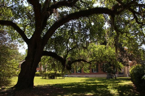
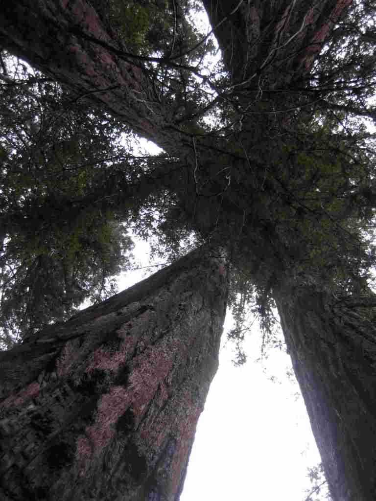
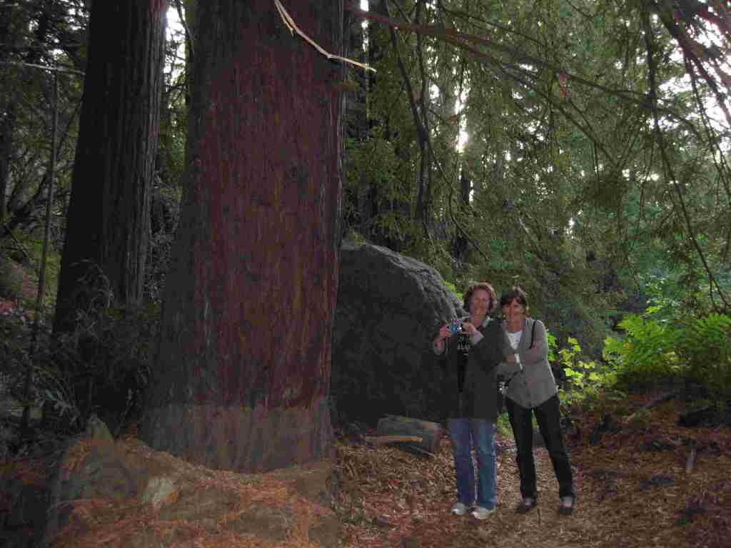
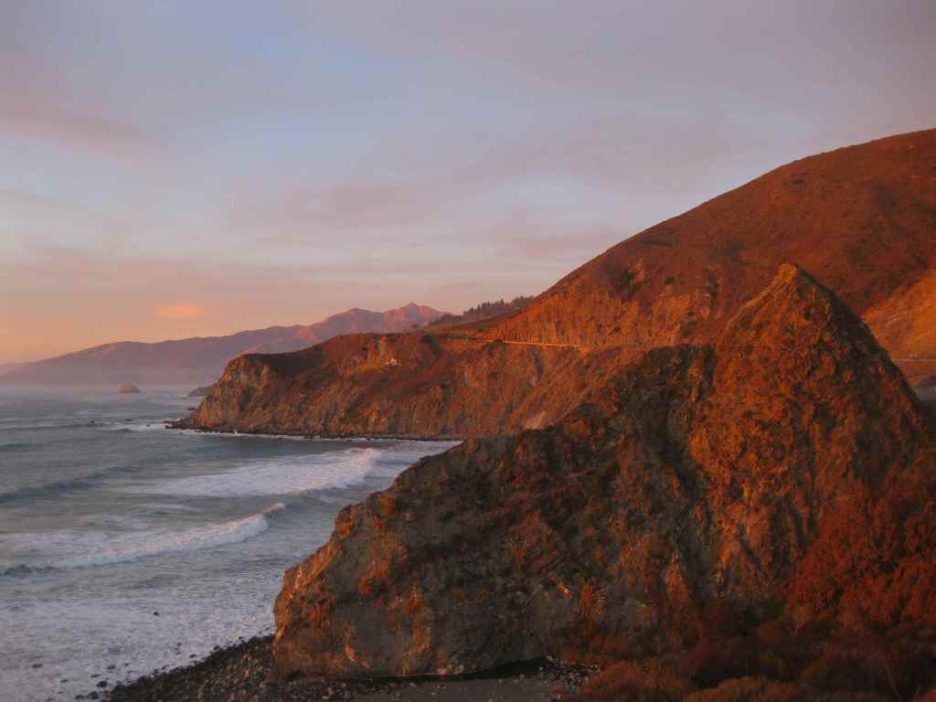
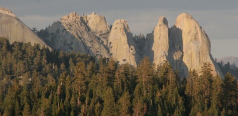
Los Padres National Forest stretches more than 200 miles from Monterrey south beyond Santa Barbara. It contains most of Big Sur, a name that conjures images of craggy cliffs dropping precipitously into white-capped ocean waves. This sparsely inhabited stretch of coastline is known as much for its historic bohemians as its coast redwood trees. It is home to multiple rare tree species with limited native ranges, especially those that can tolerate serpentine soils. As the only National Forest in California that touches the Pacific Ocean, a road trip down scenic Highway 1 should be on everyone’s bucket list, including stops at Julia Pfeiffer Burns State Park, Bixby Creek Bridge, Hearst Castle State Park, and the elephant seal rookery at Piedras Blancas. We have hiked many trails here since Scott taught for three years at Cal Poly State University in San Luis Obispo.
Know someone who loves the National Forests? Gift them our travel guidebook Out in the Woods so they can learn more about this and the 154 other National Forests.
Highlights
Big Sur, Sykes Hot Springs, Salmon Creek Falls, Jade Cove, Cuesta Ridge Botanical Area, Figueroa Mountain, Mt. Pinos, Knapp’s Castle, Seven Falls, Sespe Hot Springs
Must-Do Activity
Los Padres National Forest is 48% designated Wilderness, so the recommended activity is to hike into those natural areas. The Matilija Wilderness is in the Santa Ynez Mountains that loom above the coastal city of Santa Barbara, home to a university, art museum, and historic Presidio built in 1782. If you go to hike to the ruins of Knapp’s Castle in the National Forest, also make a quick stop at Chumash Painted Cave State Historic Park, which contains colorful pictographs dating back to the 1600s. Another popular U.S. Forest Service trailhead located closer to town goes either to Inspiration Point or Seven Falls, the latter a better choice on foggy days, which are common on the coast.
Best Trail
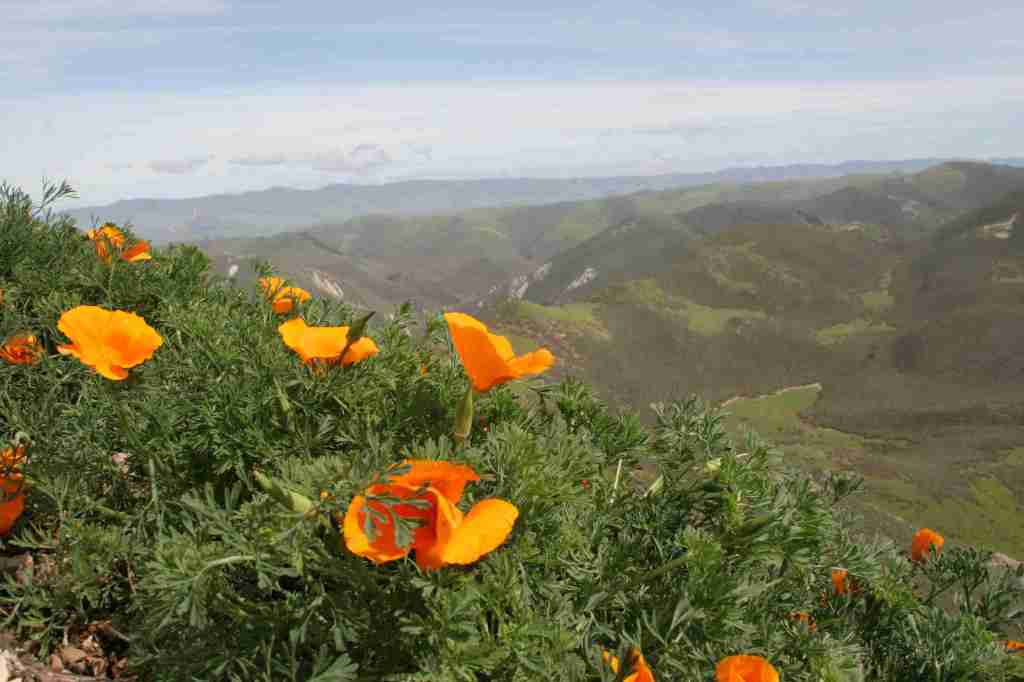
There are 323 miles of incredible hiking trails throughout Los Padres National Forest, including a few that access hot springs. Our favorite trails are in the Santa Lucia Mountains that tower above Big Sur. One pinnacle accessible by trail is Cone Peak at 5,155 feet in elevation. The access road is typically closed in the winter, but when it is open the trail is only 2.3 miles to the summit with a vertical gain of 1,400 feet. Do not expect any shade since multiple fires have burned most of the mountain, although there are still a few surviving examples of the rare Santa Lucia fir tree. Although some areas are no longer vegetated, the plentiful sunshine above the fog belt means there are often incredible displays of wildflowers along the trail early in summer, including lupine, sticky monkeyflower, and yucca.
Watchable Wildlife
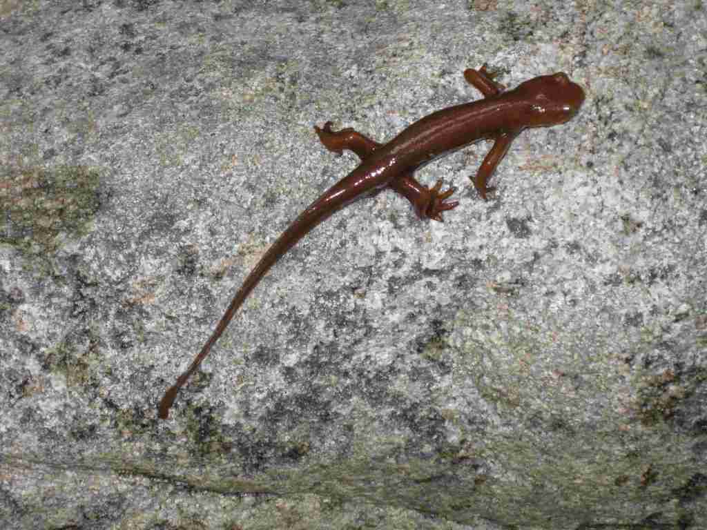
There is a wide range of wildlife found here from sea level up to 8,847 feet in elevation, and the most famous is the reintroduced California condor that nests in the Sespe Condor Sanctuary. Other birds include barn owls, great horned owls, red-tailed hawks, bald eagles, California quail, and California scrub jays. Coyotes, black bears, bobcats, mountain lions, black-tailed deer, bighorn sheep, and raccoons are common large mammals. Species of concern include the foothill yellow-legged frog and California mountain kingsnake. Look for California newts and banana slugs in the moist understory of coast redwood forests.
Photographic Opportunity
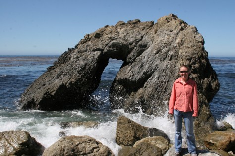
Even if you are not spending the night at Kirk Creek Campground, you can park and walk down the trail to the south that goes past redwood trees to the beach where there is a sea arch and tidepools.
Peak Season
Fall and winter
Fees
$5 per vehicle Adventure Pass (or America the Beautiful pass) required at most trailheads
Road Conditions
There are some steep unpaved roads in Los Padres National Forest, which can be impassable in wet or snowy conditions. Portions of the unpaved Tassajara Road to Chews Ridge are narrow and steep, requiring a four-wheel-drive vehicle to reach Tassajara Hot Springs.
Camping
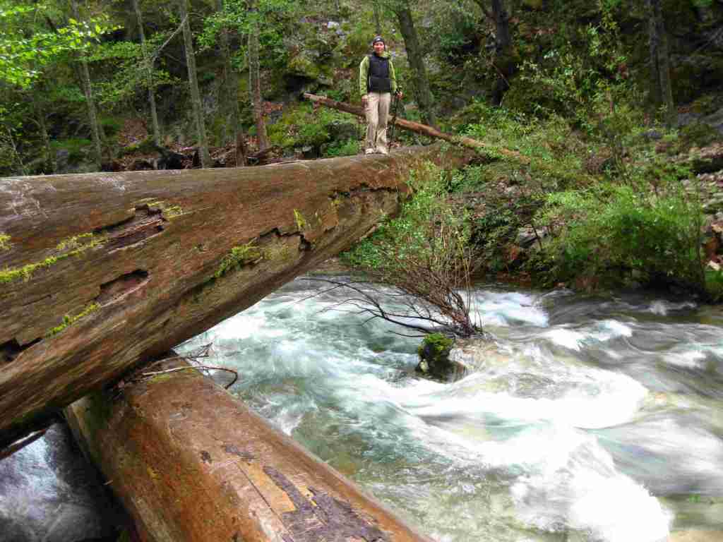
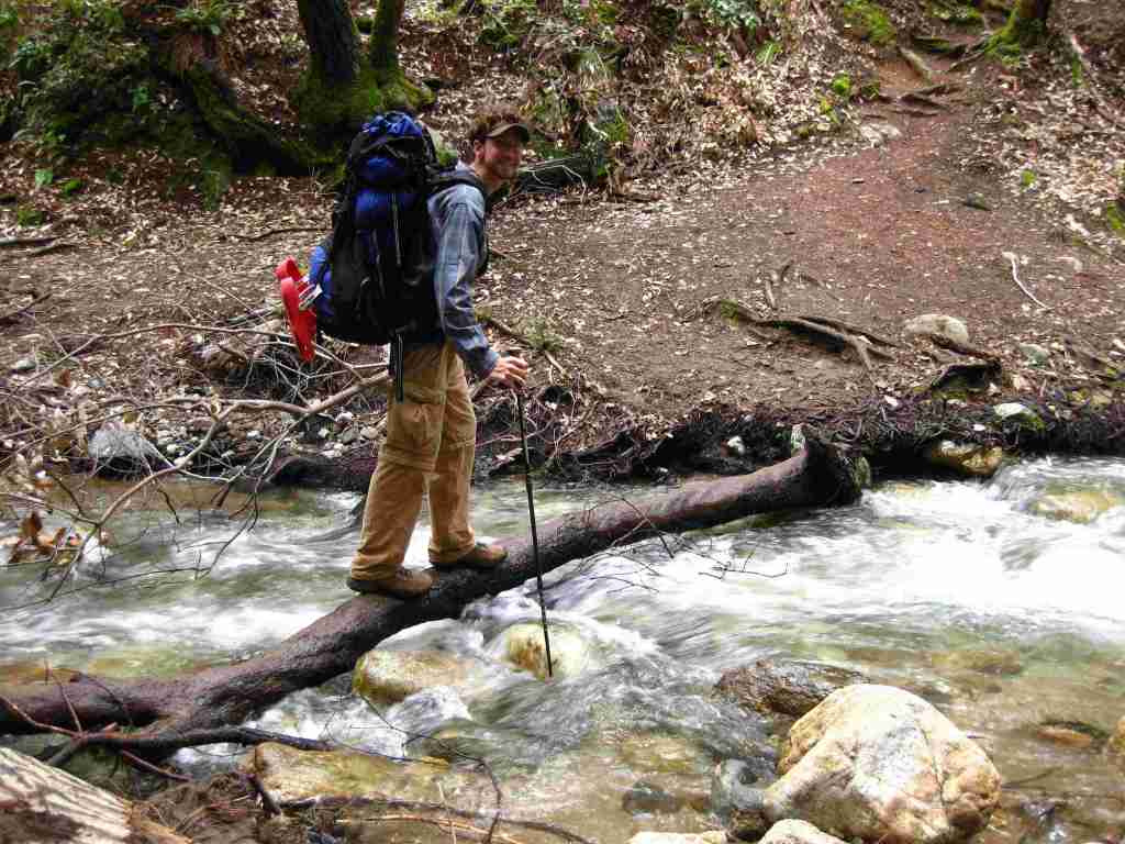
A night spent listening to the ocean waves breaking far below the U.S. Forest Service’s clifftop Kirk Creek Campground is enchanting, which is why it made it on our list of Top 10 Campgrounds in National Forests. There are 11 campgrounds in total, and a free campfire permit is required if you use a camp stove (which can be obtained online). Sespe Hot Springs is a popular ten-mile one-way backpacking destination.
Scott’s mother and aunt in the redwood forestTiff hiking to Sespe Hot SpringsSespe Hot SpringsSticky monkeyflowerScott backpacking to Sespe Hot SpringsHighway 1Scott with a Santa Lucia firScott with a coast redwood treeBanana slugCalifornia newtMt. PinosKirk Creek Campground in Big Sur
coast live oak, California black oak, tanoak, western redbud, Pacific madrone, manzanita
Explore More – What is the name of the nomadic group that lived in Big Sur dating back 5,500 years ago?
Know someone who loves the National Forests? Gift them our travel guidebook Out in the Woods so they can learn more about this and the 154 other National Forests.
Only 16 of the 138 U.S. National Monuments are found in National Forests, and many of those are jointly administered with the Bureau of Land Management (the BLM ones will be covered in a future Top 10 List). Moreover, ten of them are located in only two states (California and Colorado). However, that does not mean they are not worth checking out. We have visited 15 with the exception of Admiralty Island in Alaska (but did read Alone in the Fortress of the Bears by Bruce L. Nelson), so we have an educated opinion in our ranking. Click here to see all our Top 10 Lists, including our Top 10 National Monuments Managed by the National Park Service.
10. Santa Rosa and San Jacinto Mountains (California)
A gondola ride up into Mt. San Jacinto State Park is the easiest way to access these mountains south of Palm Springs where the Pacific Crest Trail (PCT) runs
9. Camp Hale–Continental Divide (Colorado)
During World War II, the 10th Mountain Division trained in this section of the Rocky Mountains
8. Browns Canyon (Colorado)
The only legal way to access these lands is on a whitewater rafting trip
…and finally our #1 National Monument in a National Forest
1. Giant Sequoia (California)
Not as busy as Sequoia National Park, there are some impressive giant sequoia trees found here (including the Boole Tree, one of our favorites)
.
Honorable Mentions
Sand to Snow (California)
We are mostly familiar with the BLM part of this National Monument, but it stretches up into the San Gorgonio Wilderness of San Bernardino National Forest