Tag Archives: National Forest

Delta National Forest

Delta National Forest

Mississippi

Managed by U.S. Forest Service, Southern Region

118,150 acres (60,898 federal/ 57,252 other)

Website: https://www.fs.usda.gov/mississippi

Overview

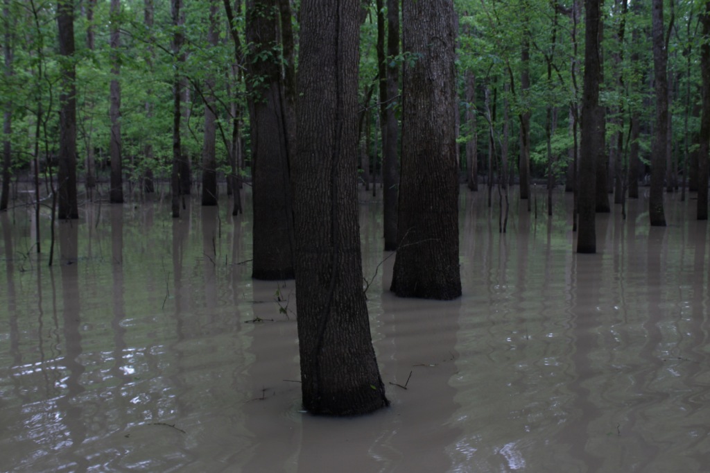
In western Mississippi, the U.S. Forest Service manages the entirety of Delta National Forest as Sunflower Wildlife Management Area through a Memorandum of Understanding with the state of Mississippi.  The Big and Little Sunflower Rivers run through these bottomland hardwood forests west of the Yazoo River, flooding the landscape throughout the summer.  This is the only National Forest preserving bottomland hardwood forests, which have primarily been converted to agriculture due to their rich soil.  It was in Delta National Forest that the idea for the Teddy Bear was born in 1902, when President Theodore Roosevelt refused to shoot a tethered black bear while hunting. 

Highlights

Blue Lake Recreation Area, Kay Cypress Tree, Lost Lake, Howlett Bayou, Green Ash-Overcup Oak-Sweetgum Research Natural Areas, Rock Bottom Trail

Must-Do Activity

This National Forest is unique because it is flooded throughout the summer, so it is primarily used from September through March.  All vehicles must display a free Daily Visitor Use Permit and all ATV, horse, and bike riders must carry a pass (fee) on the multi-use trails.  The Yazoo-Mississippi Delta (or simply “the Delta”) is a distinct section of western Mississippi renowned for its blues musicians. Throughout this area, there are blues clubs and museums dedicated to preserving the memories of Muddy Waters, B.B. King, Bessie Smith, and others.

Best Trail

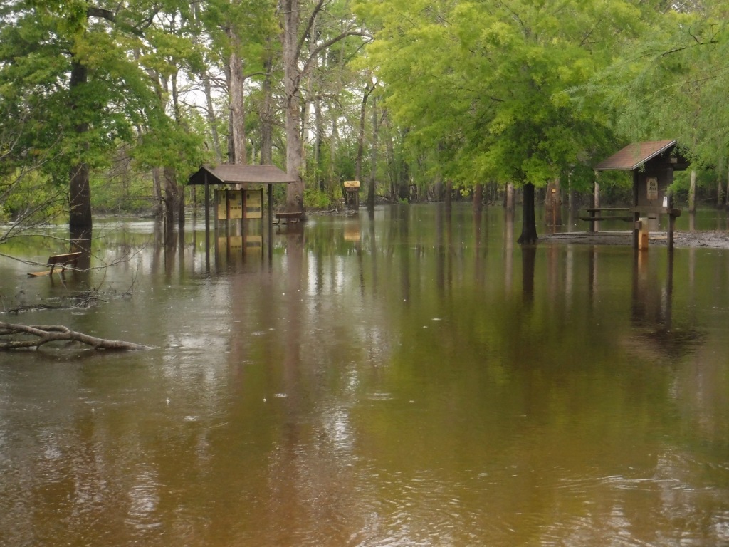
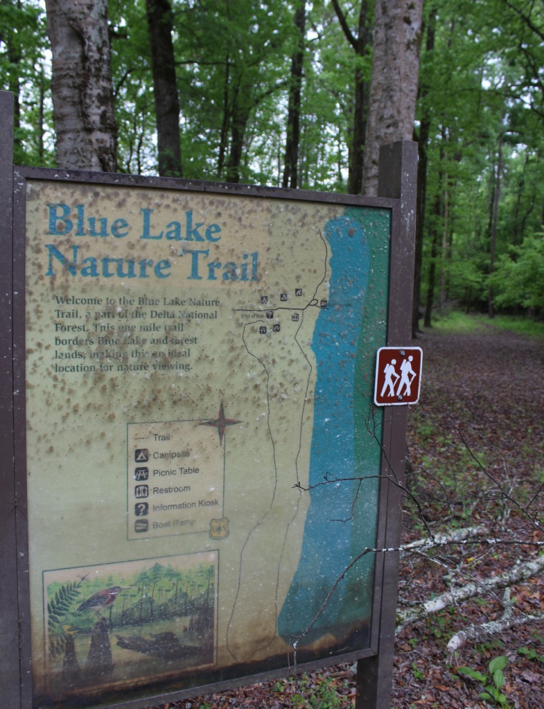
Delta National Forest has two main developed areas at Blue Lake and the Little Sunflower River, with Blue Lake Nature Trail and Rock Bottom Trail found at these sites respectively.  Both were flooded during our April visit, so in lieu of hiking, we opted to launch our inflatable kayak and paddle around Blue Lake to get up close to some huge baldcypress trees. 

Watchable Wildlife

Declared National Natural Landmarks in 1976, the Green Ash-Overcup Oak-Sweetgum Research Natural Areas are rare examples of pristine bottomland hardwood forests.  To improve wintering waterfowl conditions, three of the five greentree reservoirs are pumped and over 100 acres are planted as wildlife food plots.  Established in 1978, the neighboring Panther Swamp National Wildlife Refuge is one of seven refuges in the Theodore Roosevelt National Wildlife Refuge Complex.  The forest’s white-tailed deer herd is in very good condition, as are the numbers of wild turkeys, fox squirrels, swamp rabbits, river otters, raccoons, and American alligators.  The forest is known for its 32 different species of butterflies that congregate in July, with an average population of 21,000.

Instagram-worthy Photo

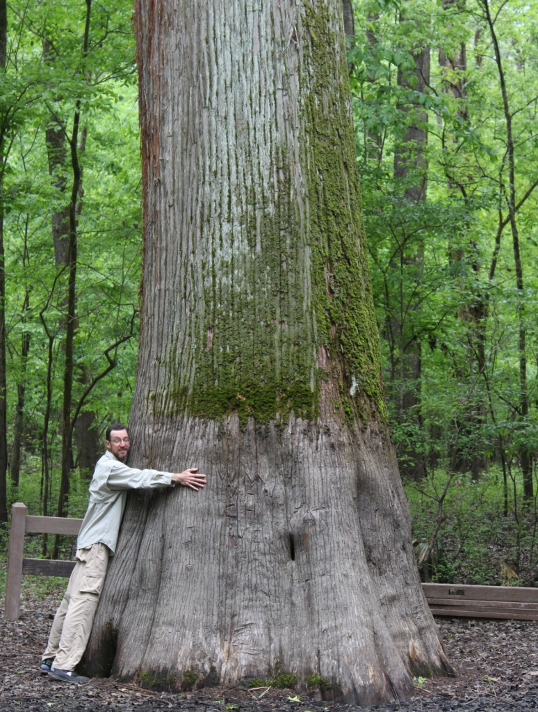
Across from Blue Lake on unpaved Fire Tower Road, be sure to stop at the Kay Cypress Tree, which is more than ten feet in diameter.

Peak Season

Winter

Fees

All vehicles in Sunflower Wildlife Management Area must display a free Daily Visitor Use Permit and all ATV, horse, and bike riders must carry a pass (fee) on the multi-use trails. 

Road Conditions

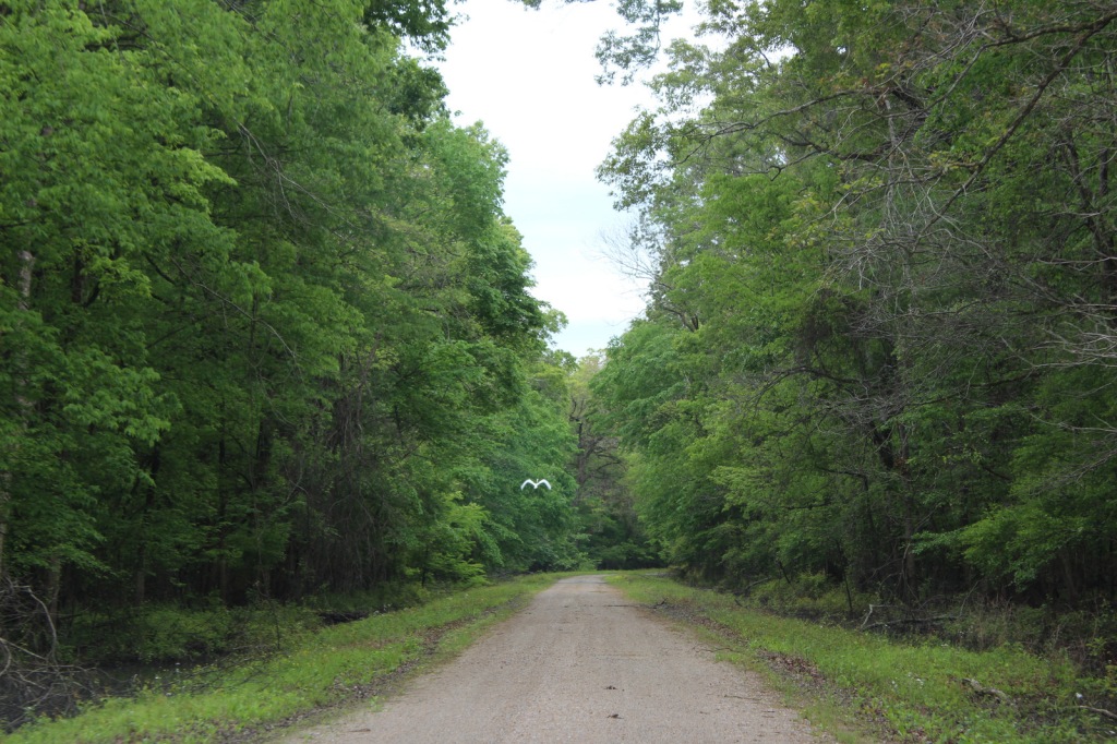
Fire Tower Road is unpaved, but was flat and above floodwater levels during our April visit, as was the road atop the dike along the Little Sunflower River.

Camping

Camping is only allowed at 57 primitive sites with a permit obtainable online ($7 per night fee). 

Wilderness Areas

None

Related Sites

Bienville National Forest (Mississippi)

De Soto National Forest (Mississippi)

Vicksburg National Military Park (Mississippi)

Nearest National Park
Hot Springs

Conifer Tree Species

baldcypress

Flowering Tree Species

Nuttall’s oak, overcup oak, cherrybark oak, willow oak, water oak, bur oak, swamp chestnut oak, water hickory, sweetgum, boxelder, swamp red maple, American elm, green ash, sugarberry, September elm, honeylocust, pecan, black gum, red mulberry, persimmon, deciduous holly, swamp dogwood

Explore More – What was the name of the legendary hunting guide and woodsman who found and tied up the black bear that Teddy Roosevelt refused to shoot in 1902?

Learn more about this and the 154 other National Forests in our new guidebook Out in the Woods

We are a participant in the Amazon Services LLC Associates Program, an affiliate advertising program designed to provide a means for us to earn fees by linking to Amazon.com and affiliated sites.

Deerlodge National Forest

Deerlodge National Forest       

Montana

Managed by U.S. Forest Service, Northern Region

1,369,894 acres (1,227,155 federal/ 142,739 other)

Website: https://www.fs.usda.gov/bdnf

Overview

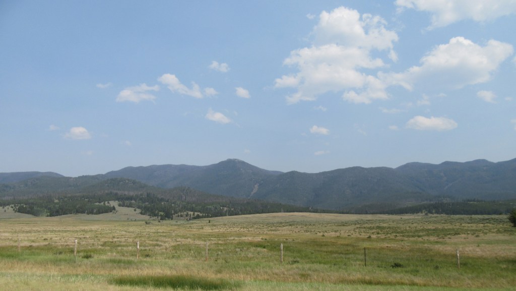
President Theodore Roosevelt originally created the Big Hole Forest Reserve in 1908 after the area around Butte, Montana was clearcut by the Anaconda Copper Mining Company.  There are still many remnants of historical mining found throughout Deerlodge National Forest.  In 1996, it became part of Beaverhead-Deerlodge National Forest, the largest of the many National Forests in Montana.  The smaller and more northerly Deerlodge section includes portions of the Boulder Mountains, Highland Mountains, Flint Creek Range, John Long Mountains, and Elkhorn Mountains, as well as part of the Anaconda-Pintler Wilderness.

Highlights

Pintler Scenic Loop, Skalkaho Pass, Elkhorn ghost town, Boulder River, Sheepshead Recreation Area, Delmoe Lake, Pipestone Rock, Maud South Canyon Loop Trail, Lost Cabin National Recreation Trail

Must-Do Activity

Butte, Montana is surrounded by mountains that are part of Deerlodge National Forest and many dirt roads explore this area.  One road leads to Delmoe Lake, six miles east of Butte and located near Pipestone Rock, once a source of stone for making various implements.  Ghost towns accessible by road include the mining settlements of Elkhorn and Highland City.  The Deer Lodge Mound is a 40-foot-tall geothermal formation that resembles a medicine lodge with steam emitting from its top.  Historically, the mineral-laden water attracted large herds of deer.  It is currently on the grounds of the Warm Springs State Hospital and is visible from Interstate 90.

Best Trail

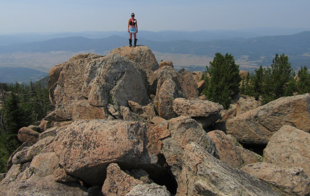
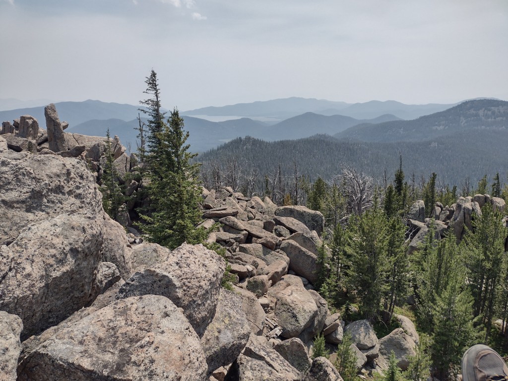
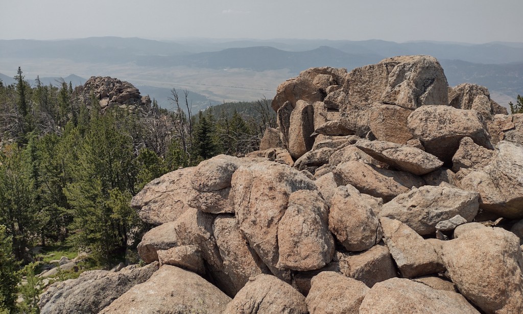
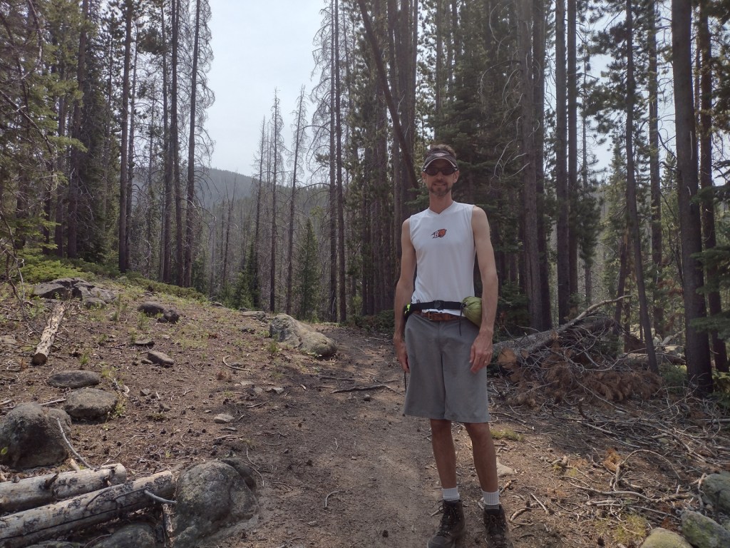
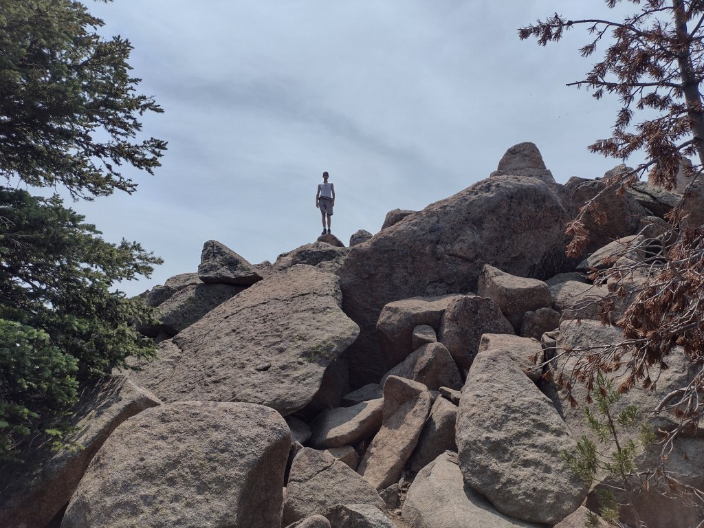
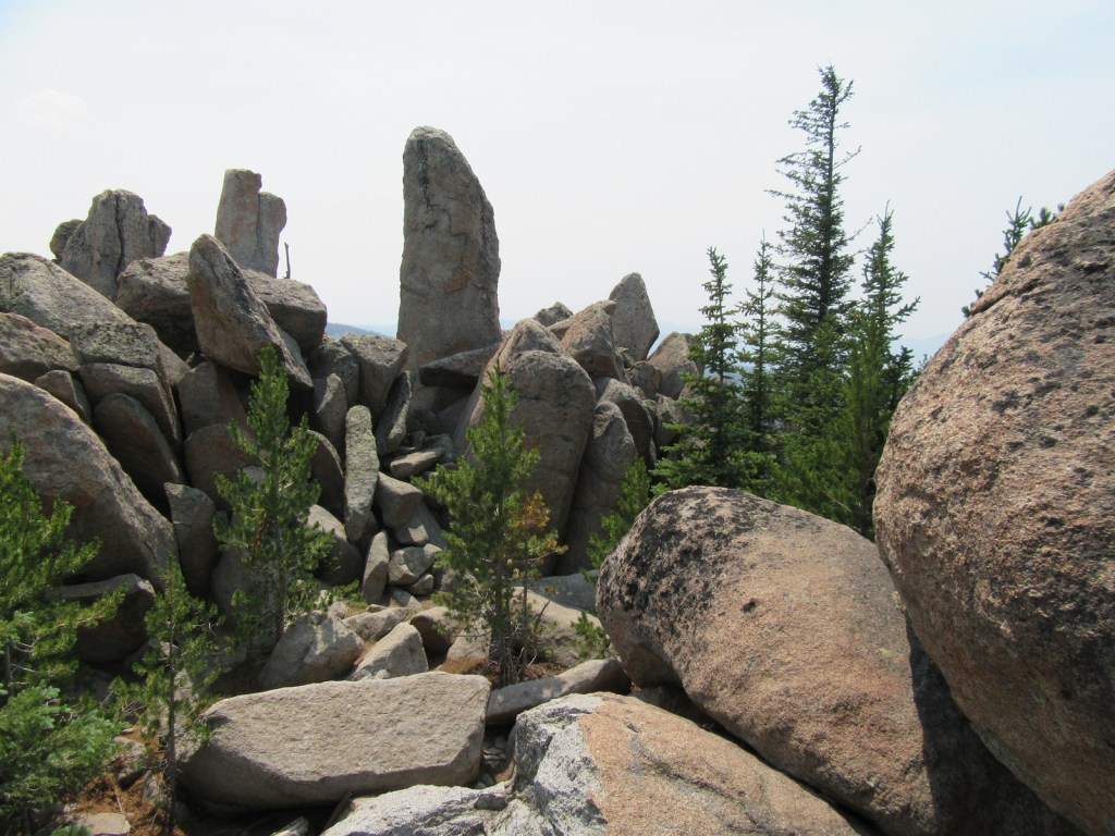
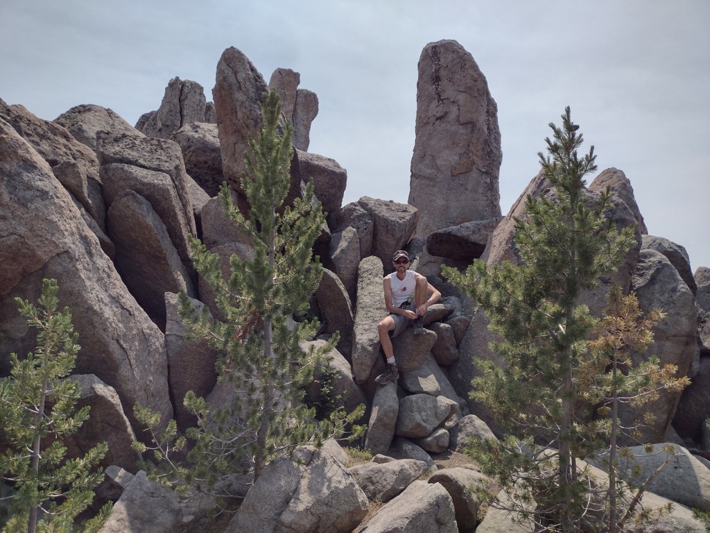
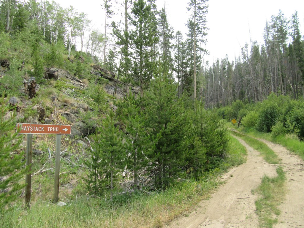
Although the official trailhead for Haystack Mountain National Recreation Trail is 1.2 miles uphill from Interstate 15, we had to park along the frontage road because access required a high-clearance vehicle.  This added about 700 feet of elevation gain to the 2,000 feet from the trailhead and made the total hike eight miles out-and-back.  There is not much shade along the route that ends in a mountaintop boulder field with stunning panoramic views and the remnants of a fire lookout tower.

Watchable Wildlife

Due to its proximity to Yellowstone National Park, Deerlodge National Forest still has most of its pre-settlement carnivores: grizzly bears, black bears, mountain lions, Canadian lynx, coyotes, and gray wolves.  Grazing ungulate species include moose, elk, mule deer, white-tailed deer, bighorn sheep, mountain goats, and pronghorns.  Bald eagles and ospreys are common around bodies of water.  Mountain whitefish, golden trout, cutthroat trout, rainbow trout, brook trout, lake trout, arctic grayling, and burbot are some of the gamefish sought by fishermen.

Instagram-worthy Photo

The boulder field at the end of Haystack Mountain National Recreation Trail provides 360° views (even on a smoky day), which is why it once housed a fire lookout tower.

Peak Season

Summer

Fees

None

Road Conditions

There are many rough roads in Deerlodge National Forest, including the one to the official trailhead for Haystack Mountain National Recreation Trail, 1.2 miles uphill from an Interstate 15 frontage road. 

Camping

There are campgrounds throughout the National Forest, including several along the Boulder River and one on the southern side of Toll Mountain.

Wilderness Areas

Anaconda-Pintler Wilderness (also in Beaverhead and Bitterroot National Forests)

Related Sites

Grant-Kohrs Ranch National Historic Site (Montana)

Beaverhead National Forest (Montana)

Bitterroot National Forest (Montana-Idaho)

Nearest National Park

Yellowstone

Conifer Tree Species

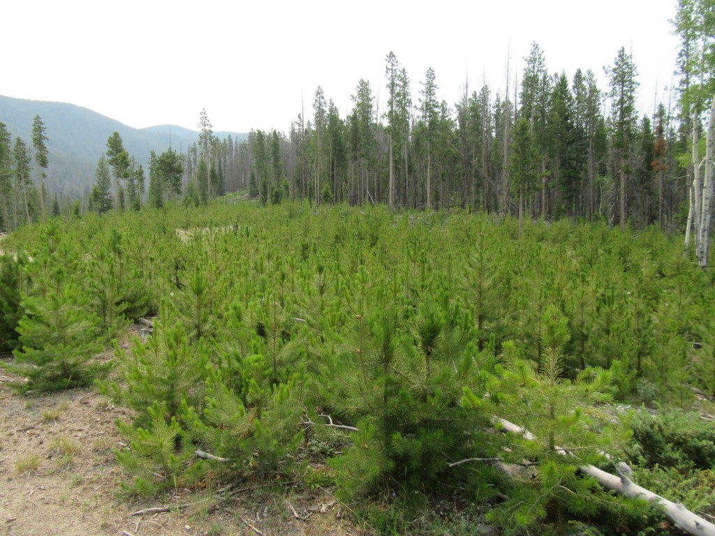
lodgepole pine, whitebark pine, ponderosa pine, Douglas-fir, Engelmann spruce, subalpine fir, subalpine larch

Flowering Tree Species

quaking aspen, balsam poplar, Bebb willow, sagebrush

Explore More – The Anaconda Copper Mine is one of the largest open pit mines in the world, but what originally brought miners to this region in the 1800s?

Learn more about this and the 154 other National Forests in our new guidebook Out in the Woods

We are a participant in the Amazon Services LLC Associates Program, an affiliate advertising program designed to provide a means for us to earn fees by linking to Amazon.com and affiliated sites.
Davy Crockett National Forest

Davy Crockett National Forest

Texas

Managed by U.S. Forest Service, Southern Region

394,200 acres (160,647 federal/ 233,553 other)

Website: https://www.fs.usda.gov/texas

Overview

The pine forests and blackland prairies of Davy Crockett National Forest are situated between Lufkin and Crockett, Texas.  The National Forest is located within the Trinity and Neches River basins, where the Big Slough Canoe Trail explores the swampy 3,639-acre Big Slough Wilderness.  David Crockett was a frontiersman, soldier, and Tennessee politician who died at the infamous Battle of the Alamo in 1836 and later became an almost-mythical American folk hero known as the “King of the Wild Frontier.”  This swampy stretch of eastern Texas is a fitting place to be his namesake.

Highlights

Ratcliff Lake Recreation Area, Holly Bluff Campground, Neches Bluff Overlook, Neches River, Big Slough Canoe Trail, Tall River Trail, Four C Trail

Must-Do Activity

Davy Crockett National Forest’s most developed site is Ratcliff Lake Recreation Area, where several trails run near the campsites that surround the 45-acre lake, including one end of the 20-mile-long Four C National Recreation Trail.  The site also has a bathhouse, picnicking and swimming areas, and boat ramps.

Best Trail

The 20-mile Four C National Recreation Trail connects Ratcliff Lake Recreation Area with Neches Bluff Overlook, although hurricane damage closed the northern portion of the trail in 2019.  The trail is named after the Central Coal and Coke Company, which had a sawmill at Ratcliff Lake.  Much of the well-marked route follows abandoned tramways built by the company to haul logs.  The two trailheads are easily accessible from highways, but no backpack camping is allowed during deer hunting season (November through January).

Watchable Wildlife

Fishing is a major draw to Ratcliff Lake, as is hunting for white-tailed deer, fox squirrels, northern bobwhite quail, doves, wild turkeys, and various waterfowl.  Beavers and American alligators are also found at Ratcliff Lake.  Longleaf pine forests are managed to provide habitat for red-cockaded woodpeckers, an endangered species.  We saw an armadillo while hiking a swampy section of the Four C National Recreation Trail along the Neches River.

Instagram-worthy Photo

There is not much vertical topography in eastern Texas, so Neches Bluff Overlook stands out and commands an expansive view, including Caddo Mounds State Historic Site.

Peak Season

Spring and fall

Fees

None

Road Conditions

Access to Neches Bluff Overlook is by a well-maintained unpaved road that would be drivable by an RV.

Camping

There is free primitive camping allowed at Neches Bluff Overlook, which is located just south of Highway 21 near Caddo Mounds State Historic Site.  No backpack camping is allowed on the Four C National Recreation Trail during deer hunting season (November through January), when dispersed camping is also restricted to 20 designated hunter camps.

Wilderness Areas

Big Slough Wilderness

Related Sites

Angelina National Forest (Texas)

Sabine National Forest (Texas)

Big Thicket National Preserve (Texas)

Nearest National Park

Hot Springs

Conifer Tree Species

baldcypress, loblolly pine, shortleaf pine, longleaf pine, eastern redcedar

Flowering Tree Species

blackjack oak, post oak, southern red oak, white oak, swamp chestnut oak, willow oak, sweetgum, red maple, swamp red maple, green ash, swamp cottonwood, black willow, water hickory, pignut hickory, hophornbeam, sassafras, slippery elm, water elm, winged elm, American holly, yaupon holly, red buckeye, redbud, rough-leaf dogwood, flowering dogwood

Explore More – When were the mounds created at nearby Caddo Mounds State Historic Site?

Learn more about this and the 154 other National Forests in our new guidebook Out in the Woods

We are a participant in the Amazon Services LLC Associates Program, an affiliate advertising program designed to provide a means for us to earn fees by linking to Amazon.com and affiliated sites.

Daniel Boone National Forest

Daniel Boone National Forest

Kentucky

Managed by U.S. Forest Service, Southern Region

2,047,092 acres (706,680 federal/ 1,340,412 other)

Website: https://www.fs.usda.gov/dbnf/

Overview

Daniel Boone National Forest is spread across the Cumberland Plateau in Kentucky, covering more than two-million acres when including private land and the 145,839-acre Redbird Purchase Unit.  The National Forest also surrounds three popular State Parks: Buckhorn Lake, Cumberland Falls, and Natural Bridge.  The latter is adjacent to the spectacular Red River Gorge Geological Area, which is a major reason Daniel Boone National Forest sees more than one-million visitors annually.  The forest has nearly 100 developed recreation areas and 600 miles of trails, plus several historic sites like Clear Creek Iron Furnace, Nada Railroad Tunnel, and Camp Wildcat (site of the first Civil War engagement of regular troops in Kentucky).

Highlights

Zilpo Scenic Byway, Red River Gorge Geological Area, Nada Tunnel, Cave Run Lake Recreation Area, Lick Creek Falls, Clear Creek Iron Furnace, Camp Wildcat, Laurel River Lake Recreation Area, Chimney Top Rock, Chestnut Knob, Yahoo Arch, Sheltowee Trace National Recreation Trail

Must-Do Activity

In the rolling hills of the Cumberland Plateau, Red River Gorge Geological Area is full of enough sandstone arches to keep you busy exploring for days.  Although 91-foot long Koger Arch was closed during our visit, we enjoyed short hikes to 75-foot Sky Bridge and 32-foot Princess Arch.  Rock Bridge Trail is a 1.3-mile loop that passes the sole natural bridge in the area with water flowing through it, and the only one formed by a waterfall cutting through the sandstone. 

Best Trail

The 282-mile-long Sheltowee Trace National Recreation Trail runs from Tennessee north into the southern end of Daniel Boone National Forest and Big South Fork National River and Recreation Area (where a camping permit is required by the National Park Service).  The trail marked by white turtle blazes passes through Alum Ford primitive campground on the Big South Fork of the Columbia River.  From Yahoo Falls Scenic Area, a short jaunt takes hikers to 113-foot-tall Yahoo Falls, which you can walk behind.  Yahoo Arch (17 feet tall) is accessible further up that two-mile section of trail or from a separate Forest Service trailhead on KY700, as is Markers Arch on a separate half-mile spur.

Watchable Wildlife

Major mammals found in Daniel Boone National Forest include black bear, coyote, bobcat, red fox, gray fox, mink, white-tailed deer, gray squirrel, muskrat, opossum, raccoon, cottontail rabbit, woodchuck, and three species of bat.  Wild turkey, northern bobwhite quail, ruffed grouse, red-cockaded woodpecker, and bald eagle are some of the 194 bird species identified.  Copperheads and timber rattlesnakes are two types of venomous snakes found here.  Lakes and streams have rainbow trout, largemouth bass, smallmouth bass, bluegill, crappie, and muskie.

Instagram-worthy Photo

Kentucky is riddled with caves—from the manmade Louisville Mega Cavern to Mammoth Cave National Park.  Daniel Boone National Forest has an estimated 1,500 to 2,000 limestone caves, in addition to small overhangs in the sandstone of Red River Gorge Geological Area.

Peak Season

Summer

Fees

There is not a day use fee to park, hike, or picnic in Red River Gorge Geological Area (unless you park overnight).

Road Conditions

Most of the trailheads in Red River Gorge Geological Area are accessed by well-marked and well-maintained dirt roads.

Camping

South of Interstate 64, Cave Run Lake stretches across 8,270 acres in northeastern Kentucky where we spent the night at a Forest Service campground on a cross-country roadtrip in 2007.  There are campgrounds in Red River Gorge Geological Area, where backpacking in the Clifty Wilderness only costs $5 per day per car for a permit.

Wilderness Areas

Beaver Creek Wilderness

Clifty Wilderness

Related Sites

Big South Fork National Recreation Area (Kentucky-Tennessee)

Cumberland Gap National Historical Park (Kentucky -Tennessee-Virginia)

Land Between The Lakes National Recreation Area (Kentucky-Tennessee)

Nearest National Park

Mammoth Cave

Conifer Tree Species

eastern hemlock, loblolly pine, Virginia pine, pitch pine, shortleaf pine

Flowering Tree Species

chestnut oak, scarlet oak, black oak, northern red oak, white oak, rock chestnut oak, tulip-poplar, American beech, mockernut hickory, bitternut hickory, pignut hickory, black gum, white ash, sassafras, mountain laurel, basswood, red mulberry, witch hazel, sugar maple, red maple, sourwood, cucumber magnolia, bigleaf magnolia, flowering dogwood, serviceberry, pawpaw, river birch, sycamore, silver maple, black willow, sweetgum, devil’s walkingtick, white rhododendron, Cumberland azalea

Explore More – In what year did the frontiersman Daniel Boone fight in the Battle of Blue Licks during the American Revolution?

Learn more about this and the 154 other National Forests in our new guidebook Out in the Woods

We are a participant in the Amazon Services LLC Associates Program, an affiliate advertising program designed to provide a means for us to earn fees by linking to Amazon.com and affiliated sites.
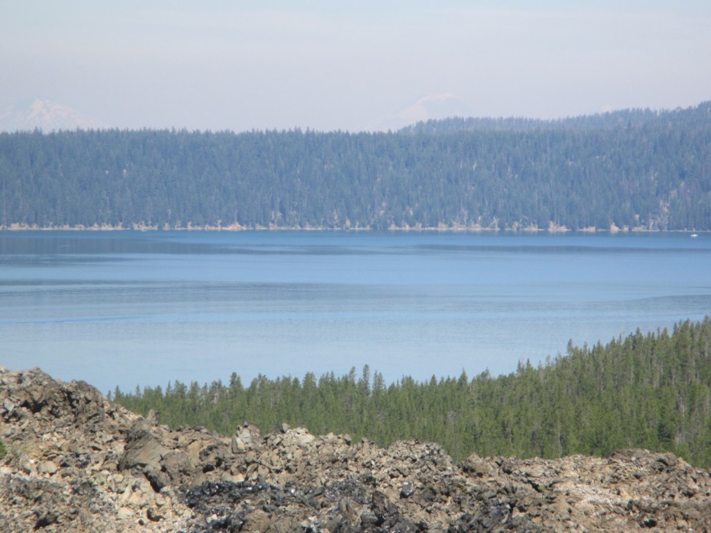
Custer National Forest

Custer National Forest

Montana, South Dakota

Managed by U.S. Forest Service, Northern Region

1,278,749 acres (1,188,130 federal/ 90,619 other)

Website: https://www.fs.usda.gov/custergallatin

Overview

Custer National Forest is split across multiple units from the Absaroka Mountains in southern Montana east to five isolated patches in the northwest corner of South Dakota.  It ranges in elevation from dry prairies to glaciated summits, including the highest point in Montana (12,807-foot Granite Peak).  In eastern Montana, Capitol Rock is a sandstone and white clay formation that looks like a capitol dome from the east.  In South Dakota, the National Forest also encompasses The Castles National Natural Landmark.  Since 2014, Custer and Gallatin National Forests have been managed together as Custer-Gallatin National Forest.

Highlights

Beartooth All-American Road, Rock Creek Vista, Hellroaring Plateau, Granite Peak, East Rosebud Lake, Impasse Falls, Crooked Creek Canyon, Big Ice Cave, Pryor Mountains Wild Horse Range, Lost Water Canyon, Cook Mountains, Tongue River Breaks, Poker Jim Lookout, Chalk Buttes, Capitol Rock, Slim Buttes, The Castles, Glacier Lake, Basin Creek National Recreation Trail, Basin Lakes Trail

Must-Do Activity

Custer National Forest is most famous for its stretch of Highway 212 (Beartooth All-American Road) that climbs switchbacks from the prairie around Red Lodge, Montana up to 10,947 feet at Beartooth Pass across the Wyoming border in Shoshone National Forest.  These two National Forests also share with Gallatin National Forest the giant 943,626-acre Absaroka-Beartooth Wilderness, which contains 12,807-foot Granite Peak.  Backpackers come from around the world to this Wilderness in the summer because its trailheads start at such high elevations that it does not require much climbing to reach scenic alpine lakes.

Best Trail

There are more than 1,500 miles of hiking trails in Custer National Forest, mostly concentrated in the western mountains.  From the Glacier Lake Trailhead (high-clearance vehicle required), the two-mile Glacier Lake Trail steadily climbs 1,100 feet then drops into a bowl containing a stunning reservoir that straddles the Wyoming-Montana state border.  You can turn around here at 9,691 feet in elevation or continue around the north side of the lake up to Goat and Sheep Lakes.  We backpack camped at Glacier Lake for one night during Labor Day weekend and had the place to ourselves.
Watchable Wildlife

In addition to the raptors typical of western National Forests, merlins (a type of small falcon) are more common here than anywhere else in the country.  Mammalian predators include grizzly bears, black bears, gray wolves, coyotes, red foxes, pine martens, mountain lions, and bobcats.  Ungulates found here are pronghorns, moose, mountain goats, bighorn sheep, mule deer, elk, and bison (on private ranches).

Instagram-worthy Photo

During our backpacking trip, the Glacier Lake reservoir was especially scenic during the jaw-dropping twilight hours when the mountains were drenched in alpenglow.

Peak Season

Summer

Fees

None

Road Conditions

The paved Beartooth All-American Road (Highway 212) is typically open only June to October due to snow.  At the bottom of the “Beartooth Switchbacks” on Highway 212 in southern Montana is Main Fork Rock Creek Road, a rough dirt road that follows the shallow creek past campgrounds and dispersed campsites back to Glacier Lake Trailhead.  A high-clearance vehicle or an ATV is required if you want to drive the entire eight miles.  Many recreationists bring the latter to tackle the nearby road that steeply ascends to the top of 11,000-foot-high Hellroaring Plateau.

Camping

There are more than 30 campgrounds in Custer National Forest, as well as numerous dispersed camping options (especially on roads west of Red Lodge, Montana).

Wilderness Areas

Absaroka-Beartooth Wilderness (also in Gallatin and Shoshone National Forests)

Related Sites

Bighorn Canyon National Recreation Area (Montana-Wyoming)

Little Bighorn Battlefield National Monument (Montana)

Beaverhead National Forest (Montana)

Nearest National Park

Yellowstone

Conifer Tree Species

Douglas-fir, ponderosa pine, lodgepole pine, limber pine, whitebark pine, Engelmann spruce, subalpine fir, Rocky Mountain juniper

Flowering Tree Species

eastern cottonwood, quaking aspen, water birch, Rocky Mountain maple, boxelder, Bebb willow, blue elderberry, choke cherry, white alder, curlleaf mountain-mahogany, sagebrush

Explore More – Found on the side of Granite Peak, how did Grasshopper Glacier get its name?

Learn more about this and the 154 other National Forests in our new guidebook Out in the Woods

We are a participant in the Amazon Services LLC Associates Program, an affiliate advertising program designed to provide a means for us to earn fees by linking to Amazon.com and affiliated sites.