Tag Archives: National Forest

Eldorado National Forest

Eldorado National Forest

California, Nevada

Managed by U.S. Forest Service, Pacific Southwest Region

887,721 acres (686,667 federal/ 201,054 other)

Website: https://www.fs.usda.gov/eldorado

Overview

Located in California’s Sierra Nevada, Eldorado National Forest has ghost towns dating back to the 1849 gold rush.  El Dorado is Spanish for “the golden one,” which often referred to the fabled Lost City of Gold sought by the Conquistadors.  The single-word spelling Eldorado may have been a clerical error dating back to the creation of the National Forest in 1910.  Elevations range from 1,000 feet in the foothills to more than 10,000 feet in the Sierra Nevada.  In addition to 297 lakes and reservoirs, it contains 611 miles of fishable streams in the drainages of the North Fork of the Mokelumne River, Cosumnes River, and the Middle and South Forks of the American River.  There are 349 miles of trails in Eldorado National Forest, including a portion of the Pacific Crest National Scenic Trail that follows mountain ridges on the west side of Lake Tahoe.

Highlights

Carson Pass Scenic Highway, Lake Tahoe Basin Management Unit, Tallac Historic Site, Caldor Auto Tour, Silver Lake, Crystal Basin Recreation Area, Loon Lake, Ice House Reservoir, Traverse Creek, Horsetail Falls, Fourth of July Lake, Cascade Falls Loop Trail, Pacific Crest National Scenic Trail

Must-Do Activity

The Forest Service’s Lake Tahoe Basin Management Unit is composed of 150,000 acres of Eldorado, Tahoe, and Toiyabe National Forests surrounding Lake Tahoe.  It was established in 1973 to preserve and restore the ecosystem of one of the nation’s most popular playgrounds.  Averaging 1,000 feet in depth, Lake Tahoe is famous for its water clarity and, although it has no outlet to the ocean, it is dammed on the Truckee River to control water levels.  After the 1858 discovery of the Comstock Lode in nearby Virginia City, Nevada, extensive deforestation occurred around the lake.  This eventually led to conservation efforts to place 78% of its watershed into National Forests starting in 1899.  Hiking trails uphill from the lake’s shoreline (mostly privately owned) are almost entirely within National Forests, including the circumnavigating Tahoe Rim Trail.

Best Trail

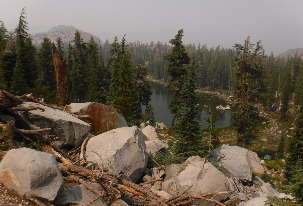
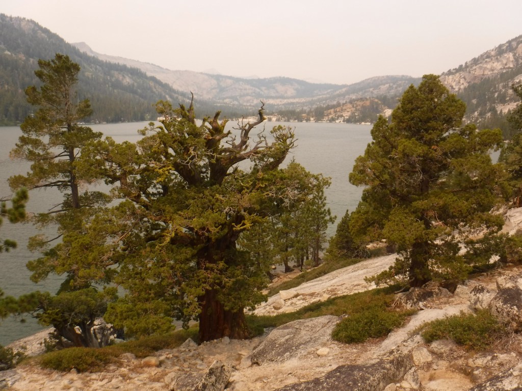
Near the National Forest’s border with Lake Tahoe, the 63,960-acre Desolation Wilderness is the country’s most visited Wilderness area on a per acre basis.  With the exception of thru-hikers on the Tahoe Rim and Pacific Crest Trails, a daily quota limits the number of backpackers in the Desolation Wilderness.  Even day hikers are required to carry a permit and a bear box is recommended for all overnight users.  We took a smoke-obscured hike five miles one-way from Lower Echo Lake up to Lake Aloha in the Desolation Wilderness, a popular stop for backpackers.

Watchable Wildlife

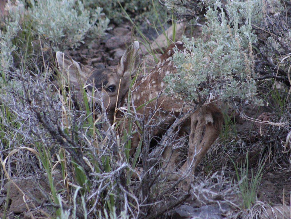
A Mediterranean climate exists in the lower elevation ranges of the National Forest, while alpine regions can receive more than 15 feet of snowfall, so there is a wide diversity of wildlife.  In the conifer forests of the Sierra Nevada look for mule deer, black bears, weasels, martens, mountain lions, and bobcats.  California quail, mountain quail, sooty grouse, and wild turkeys are common game birds.  Watch the skies for raptors like bald eagles, ospreys, red-tailed hawks, and turkey vultures. 

Instagram-worthy Photo

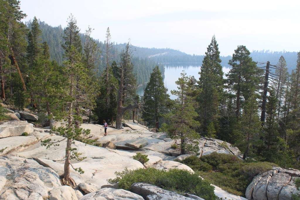
By the time we visited in mid-August, Cascade Falls was barely a trickle compared to its raging snowmelt flow in the springtime.  The strenuous one-mile hike from Bayview Trailhead was still worth the effort for the sweeping views of Cascade Lake and Lake Tahoe’s Emerald Bay (at least when it is not so smoky). 

Peak Season

Summer

Fees

None

Road Conditions

Eldorado National Forest has 2,367 miles (3,809 km) of roads, including 400 miles of private roads.  Many of these are rough and unpaved and may require high-clearance or four-wheel drive, especially the infamous Rubicon Trail on the western shore of Lake Tahoe.

Camping

Bayview Campground is located across Highway 89 from Lake Tahoe at the Bayview Trailhead near scenic Eagle Falls and Emerald Bay State Park.  Woods Lake has a campground and a 3.5-mile trail to Fourth of July Lake, plus there are campgrounds at Fallen Leaf Lake, Ice House Reservoir, Loon Lake, Upper Valley Reservoir, and Silver Lake.

Wilderness Areas

Desolation Wilderness

Mokelumne Wilderness (also in Stanislaus and Toiyabe National Forests)

Related Sites

Devils Postpile National Monument (California)

Whiskeytown-Shasta-Trinity National Recreation Area (California)

Rosie the Riveter/World War II Home Front National Historical Park (California)

Nearest National Park

Yosemite

Conifer Tree Species

red fir, white fir, Douglas-fir, incense-cedar, ponderosa pine, lodgepole pine, Jeffrey pine, gray pine, sugar pine, foxtail pine, western juniper

Flowering Tree Species

Pacific dogwood, California buckeye, manzanita

Explore More – Traverse Creek near Placerville is known for its exposed serpentine rock, which contains what elements toxic to many trees and plants?

Learn more about this and the 154 other National Forests in our new guidebook Out in the Woods

We are a participant in the Amazon Services LLC Associates Program, an affiliate advertising program designed to provide a means for us to earn fees by linking to Amazon.com and affiliated sites.

Top 10 Day Hiking Trails in National Forests

This was a difficult Top 10 list to pick since there are so many great hiking options in America’s 155 National Forests.  We realized some of our favorite trails were already included in our Top 10 National Forests for Backpacking, although Gila National Forest made it on both lists for different trails.  We also discovered we could make an entire list of Top 10 Summit Trails in National Forests, so check that out too.  Click here to see all of our Top 10 Lists.

10. Devil’s Head National Recreation Trail

Pike National Forest (Colorado)

At the end of this trail, an amazing fire lookout tower awaits surrounded by giant boulders (similar to The Crags, a 2.5-mile one-way trail near Cripple Creek)

9. Methuselah Grove Loop

Inyo National Forest (California)

High up in the remote White Mountains, a 4.5-mile loop passes Great Basin bristlecone pine trees that are thousands of years old and offers awesome views of the Owens Valley and Mt. Whitney

8. Rattlesnake Creek Trail

Dixie National Forest (Utah)

Skirts the edge of spectacular Cedar Breaks National Monument, a red rock badlands full of hoodoos where Great Basin bristlecone pine trees cling to the eroding edge

7. The Catwalk National Recreation Trail

Gila National Forest (New Mexico)

The first mile is partially elevated above raging Whitewater Creek on wide, steel grates complete with handrails and interpretive signs

6. Seneca Rocks Trail

Monongahela National Forest (West Virginia)

Seneca Rocks is very popular with rock climbers, but hikers can access the narrow rock ledge via a steep 1.3-mile one-way trail

5. Abineau Canyon Trail

Coconino National Forest (Arizona)

Sedona is full of scenic trails, but our favorite trail is north of Flagstaff in the San Francisco Peaks (especially when the quaking aspen leaves turn in October)

4. Crag Crest National Recreation Trail

Grand Mesa National Forest (Colorado)

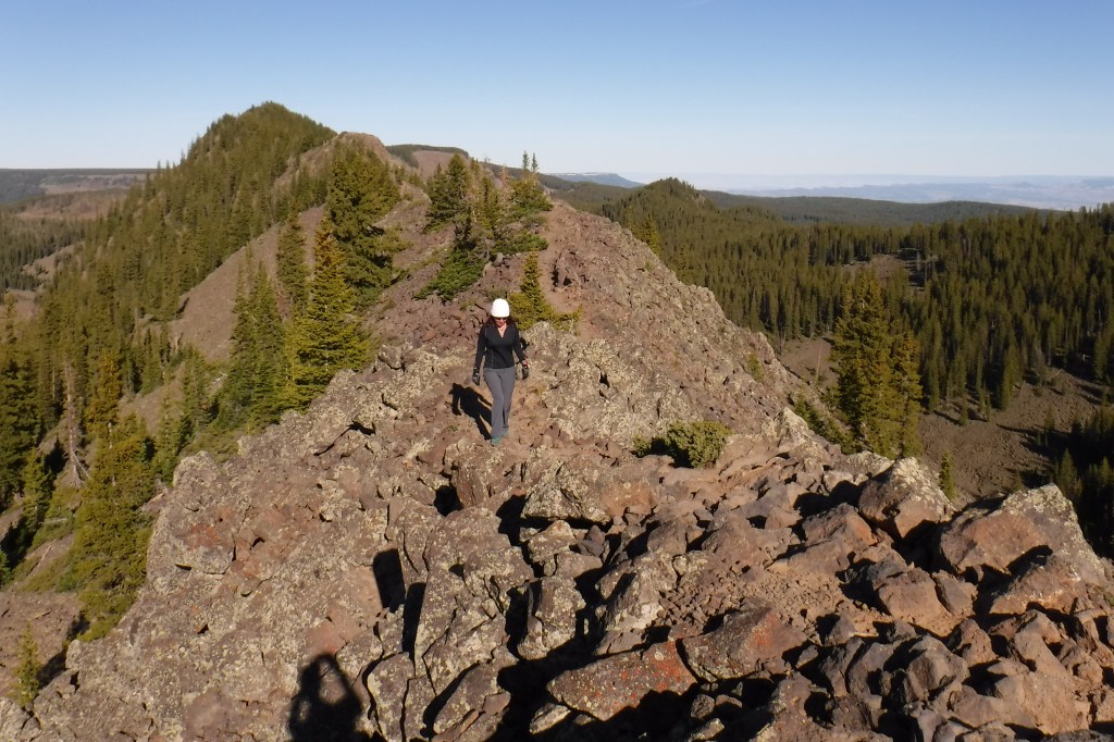
It can be hiked as a 10.3-mile loop from two trailheads, but the crest portion of the hike is the highlight as it follows a narrow ridge of volcanic rock that offers spectacular views

3. Joyce Kilmer National Recreation Trail

Nantahala National Forest (North Carolina)

The tulip-poplars and other giant trees protected in this old-growth cove hardwood forest are spectacular

2. Trail of 100 Giants

Sequoia National Forest (California)

A short, paved trail past giant sequoias in the Longwood Meadow Grove (nearby, we highly recommend the 4.7-mile hike that climbs 698-feet to Buck Rock Lookout, arguably the nation’s most stunning location for a fire lookout tower)

…and finally our #1 day hiking trail in a National Forest:

1. Maple Pass Loop

Okanogan National Forest (Washington)

An 8.5-mile loop that switchbacks up more than 2,000 feet past Lake Ann to spectacular Maple Pass (the counter-clockwise route is less steep)

.

Honorable Mentions

Rock Bridge Trail

Daniel Boone National Forest (Kentucky)

All of the trails in Red River Gorge Geological Area are great, with sandstone arches and overlooks as destinations

Wind Cave Trail

Cache National Forest (Utah)

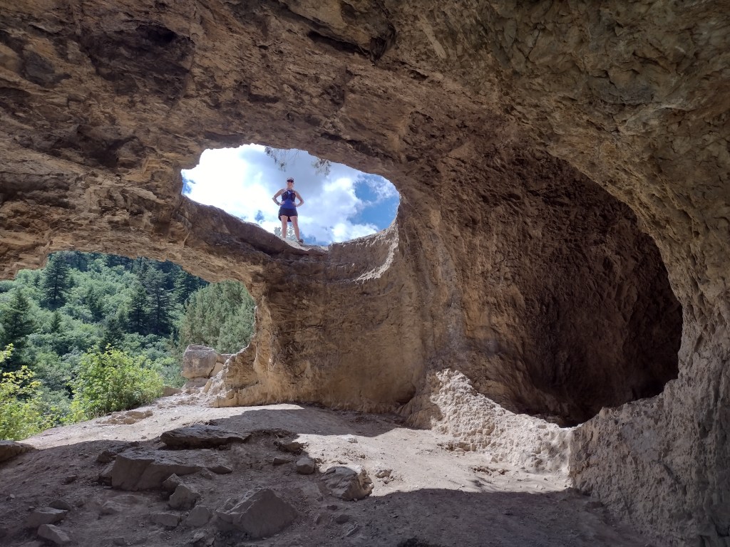
There are canyon views the entire way as this 3.6-mile out-and-back trail gains more than 900 feet in elevation to the limestone arches of Wind Cave

Lake Ann Trail

Mt. Baker National Forest (Washington)

Often snow-packed well into July, this 4.2-mile one-way trail to Lake Ann offers unsurpassed views of Mt. Baker and Mt. Shuksan on clear days

Peralta Trail

Tonto National Forest (Arizona)

Due to its proximity to Phoenix, Peralta Trail is often packed with hikers (as is Siphon Draw Trail, another favorite hike that gains 2,781 feet of elevation to the Flatiron)

We have included our favorite hiking trail for each of the 155 National Forests in our travel guidebook Out in the Woods

Dixie National Forest

Dixie National Forest

Utah

Managed by U.S. Forest Service, Intermountain Region

1,967,165 acres (1,889,127 federal/ 78,038 other)

Website: https://www.fs.usda.gov/dixie

Overview

Dixie National Forest is spread across southwest Utah surrounding Cedar Breaks National Monument and near three National Parks: Bryce Canyon, Capitol Reef, and Zion.  The National Forest has a wide elevation range from 2,800 feet near St. George to 11,322 feet on Boulder Mountain.  The change in average temperature and precipitation leads to wide variety of ecosystems from a desert-like environment all the way up to subalpine conifer forests and tundra.  The warmth of southern Utah reminded some early emigrants of “Dixie,” the part of the U.S. south of the Mason-Dixon Line, but with growing public distaste for that name it may be changed in the future.

Highlights

Markagunt National Scenic Byway, Brian Head, Navajo Lake, Cascade Falls, Strawberry Point, Red Canyon Recreation Area, Honeycomb Rocks, Powell Point, Hell’s Backbone Bridge, Virgin River Rim Trail, Hancock Peak Trail, Whipple Trail, Casto Canyon Trail

Must-Do Activity

Highway 12 Scenic Byway winds through much of the National Forest, including Red Canyon Recreation Area where the popular Casto Canyon Trail is open to hikers, bicycles, horses, and ATVs.  The mountain ranges west of Interstate 15 are a less-visited section of the forest, with numerous trails traversing the Pine Valley Mountains Wilderness, including the 35-mile Summit Trail.

Best Trail

Leaving from a trailhead across Highway 143 from the road to the top of 11,312-foot-tall Brian Head, Rattlesnake Creek Trail skirts the edge of spectacular Cedar Breaks National Monument and enters the Ashdown Gorge Wilderness (established in 1984).  About one mile in, one of several side trails leads off to the left for an overlook of the Cedar Breaks, a red rock badlands full of hoodoos situated at the edge of the Markagunt Plateau.  Gnarled Great Basin bristlecone pine trees cling to the eroding edge of the natural amphitheater, making a great foreground for photographs with a beautiful backdrop.  The trail continues to drop more than 2,400 feet to the canyon bottom over four miles connecting with Ashdown Creek which eventually crosses Highway 14, but there is not an official trailhead there.

Watchable Wildlife

A variety of mammals call Dixie National Forest home: black bears, mountain lions, bobcats, coyotes, three species of foxes, minks, pine martens, porcupines, beavers, raccoons, skunks, badgers, snowshoe hares, pika, mountain goats, bighorn sheep, elk, mule deer, and pronghorns.  Large birds include bald eagles, golden eagles, California condors, turkey vultures, wild turkeys, and various species of woodpeckers.  There are many gamefish found in the streams and small lakes spread across the high-elevation Markagunt, Paunsaugunt, and Aquarius Plateaus.

Instagram-worthy Photo

South of Torrey, Highway 12 climbs into an aspen forest with incredible views of Capitol Reef National Park and Waterpocket Fold.

Peak Season

Late summer

Fees

None

Road Conditions

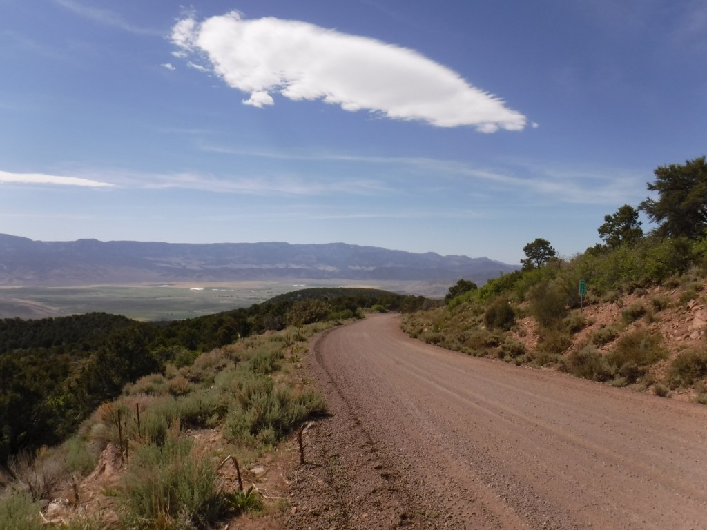
Highway 12 and Highway 143 are paved roads that access the high elevations of Dixie National Forest, but they may be closed seasonally due to snow.  There are numerous dirt roads that traverse the area, including the popular route to the top of 11,312-foot-tall Brian Head.

Camping

There are numerous campgrounds located throughout the National Forest, as well as dispersed camping opportunities on dirt roads west of Bryce Canyon National Park.

Wilderness Areas

Ashdown Gorge Wilderness

Box-Death Hollow Wilderness

Cottonwood Forest Wilderness

Pine Valley Mountains Wilderness

Related Sites

Cedar Breaks National Monument (Utah)

Grand Staircase-Escalante National Monument (Utah)

Capitol Reef National Park (Utah)

Nearest National Park
Bryce Canyon

Conifer Tree Species

Utah juniper, singleleaf pinyon pine, ponderosa pine, Douglas-fir, Engelmann spruce, subalpine fir, Great Basin bristlecone pine

Flowering Tree Species

quaking aspen, Bebb willow

Explore More – On the Markagunt Plateau, Navajo Lake drains out of two lava tubes that formed how many millions of years ago?

Learn more about this and the 154 other National Forests in our new guidebook Out in the Woods

We are a participant in the Amazon Services LLC Associates Program, an affiliate advertising program designed to provide a means for us to earn fees by linking to Amazon.com and affiliated sites.

Newberry National Volcanic Monument

Newberry National Volcanic Monument

Oregon

Managed by U.S. Forest Service

Established 1990

54,822 acres

Website: https://www.fs.usda.gov/recarea/deschutes/recarea/?recid=66159

Overview

Newberry National Volcanic Monument was carved from Deschutes National Forest by presidential proclamation in 1990 and here you must purchase a recreation pass to visit.  The main area of development is around Paulina Lake, but short roads off Highway 97 also lead to Lava River Cave and the top of Lava Butte.  Lava River Cave, at 5,211 feet in length, is Oregon’s longest lava tube and one of more than 250 known caves found throughout Deschutes National Forest.  A one-mile interpretive trail enters the Lava Cast Forest, where 6,000 years ago the forms of trees were preserved in lava before burning up.

Highlights

Paulina Lake, East Lake, Paulina Falls, Lava Cast Forest, Paulina Peak, Lava River Cave, Lava Butte, Big Obsidian Flow Trail, Crater Rim Trail, Peter Skene Ogden Trail

Must-Do Activity

Newberry National Volcanic Monument has everything you would expect from a volcanic area: lava tubes, cinder cones, cast trees, and basalt flows.  There are also some things you might not guess, like an 80-foot tall waterfall, two big lakes for boating, forested campgrounds, and two lakeside resorts.  We have seen photos of people soaking in a hot springs on the shore of chilly Paulina Lake, but we are not sure exactly where those are located.

Best Trail

There are a variety of hiking trails in the area, like the 21-mile Crater Rim Trail that circles Newberry Caldera or the one-mile Big Obsidian Flow Trail.  These both offer outstanding views of Paulina Lake or you can drive to the top of 7,984-foot-tall Paulina Peak.  Sharp chunks of obsidian (volcanic glass) mean that you should wear good shoes (not sandals) on the Big Obsidian Flow Trail.  

Instagram-worthy Photo

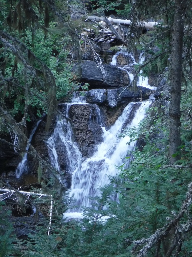
Lovely Paulina Falls is split into two separate waterfalls off the cliff face on the caldera’s western edge.  The overlook is accessible by a short hike and user trails lead steeply to its base.

Peak Season

Late summer

Fees

$5 daily recreation pass or America the Beautiful pass

Road Conditions

The roads we drove to access Paulina and East Lakes were paved, but there are many other unpaved Forest Service roads in the National Monument.

Camping

One of numerous campgrounds, Little Crater Campground is situated on Paulina Lake, plus there are two lakeside resorts.

Related Sites

Craters of the Moon National Monument and Preserve (Idaho)

Mt. St. Helens National Volcanic Monument (Washington)

Sunset Crater Volcano National Monument (Arizona)

Explore More – What is the name of the popular museum of wildlife and living history located just north of Newberry National Volcanic Monument on Highway 97?

Deschutes National Forest

Deschutes National Forest

Oregon

Managed by U.S. Forest Service, Pacific Northwest Region

1,853,929 acres (1,596,900 federal/ 257,029 other)

Website: https://www.fs.usda.gov/deschutes

Overview

Bend, Oregon is the gateway to Deschutes National Forest, with the beautiful Cascade Lakes Scenic Byway located west of town.  To the south, Newberry National Volcanic Monument is also managed by the U.S. Forest Service, which we will cover in our next blog post.  The Deschutes River was named La Rivière aux Chutes by French trappers because Celilo Falls was located near its confluence with the Columbia River.  Deschutes National Forest contains five Wilderness areas, six National Wild and Scenic Rivers, Metolius Conservation Area, and part of Oregon Cascade Recreation Area (mostly in Umpqua National Forest).

Highlights

Newberry National Volcanic Monument, Cascade Lakes Scenic Byway, Devils Lake, Mt. Bachelor, Sparks Lake, Broken Top, Three Sisters, McKenzie Pass-Santiam Pass Scenic Byway, Skeleton Cave, Pacific Crest National Scenic Trail

Must-Do Activity

The 66-mile-long (89-mile loop) Cascade Lakes Scenic Byway curves around the mountains west of Bend past numerous lakes reflecting multiple snow-capped peaks—a real photographers’ paradise.  To spend the golden hours up here, consider staying at campgrounds on the shores of Lava Lake or Sparks Lake with excellent views of Broken Top and South Sister Peak.  Like Mt. Hood to the north, 9,065-foot Mt. Bachelor is known for its ski resort.  A summer trip up Pine Marten Express Lift offers unsurpassed panoramas of the Cascades and Newberry National Volcanic Monument.

Best Trail

Sisters Mirror Lake is four miles and 650 feet up from a trailhead on the Cascade Lakes Scenic Byway and is located on the Pacific Crest National Scenic Trail.  Just as a warning, this entire trail was thick with aggressive mosquitoes on our hike in mid-July.

Watchable Wildlife

Elk, pronghorn, and mule deer are large ungulates found in Deschutes National Forest.  Carnivorous mammals include black bears, coyotes, mountain lions, and bobcats.  Large birds frequently seen are bald eagles, Canada geese, mallards, and whistling swans, and the northern spotted owl is a species of concern.  There are many lakes found throughout the National Forest that support a variety of gamefish, including bull trout (a threatened species).

Instagram-worthy Photo

Sparks Lake is a great place to watch the sun set behind the Cascades.

Peak Season

Summer

Fees

There is a day use fee for Newberry National Volcanic Monument.

Road Conditions

Cascade Lakes Scenic Byway is paved, as are the main roads into Newberry National Volcanic Monument, but there are many miles of logging roads to explore, too.

Camping

Campgrounds on the shores of Lava Lake or Sparks Lake provide views of Broken Top and South Sister Peak.  Walk-in campsites on crystal clear Devils Lake offer a bit more secluded experience.

Wilderness Areas

Diamond Peak Wilderness (also in Willamette National Forest)

Mt. Jefferson Wilderness (also in Mt. Hood and Willamette National Forests)

Mt. Thielsen Wilderness (also in Umpqua and Winema National Forests)

Mt. Washington Wilderness (also in Willamette National Forest)

Three Sisters Wilderness (also in Willamette National Forest)

Related Sites

Newberry National Volcanic Monument (Oregon)

Crooked River National Grassland (Oregon)

John Day Fossil Beds National Monument (Oregon)

Nearest National Park

Crater Lake

Conifer Tree Species

ponderosa pine, lodgepole pine, western white pine, sugar pine, western juniper, Douglas-fir, western redcedar, white fir, subalpine fir

Flowering Tree Species

quaking aspen, balsam poplar, Bebb willow

Explore More – The namesake of the Deschutes River (Celilo Falls) is now underwater behind what dam on the Columbia River?

Learn more about this and the 154 other National Forests in our new guidebook Out in the Woods

We are a participant in the Amazon Services LLC Associates Program, an affiliate advertising program designed to provide a means for us to earn fees by linking to Amazon.com and affiliated sites.