Pipe Spring National Monument
Arizona
Managed by National Park Service
Established 1923
40 acres
Website: nps.gov/pisp
Overview
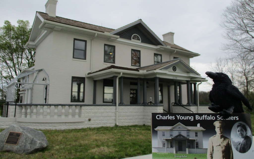
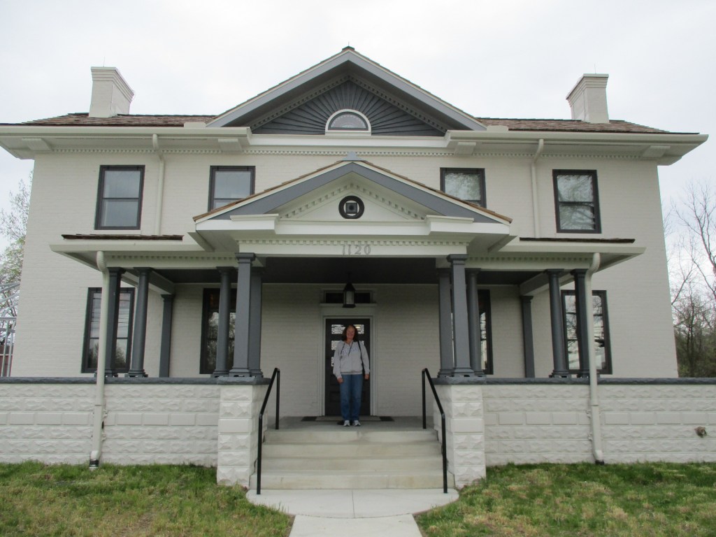
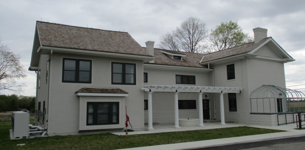
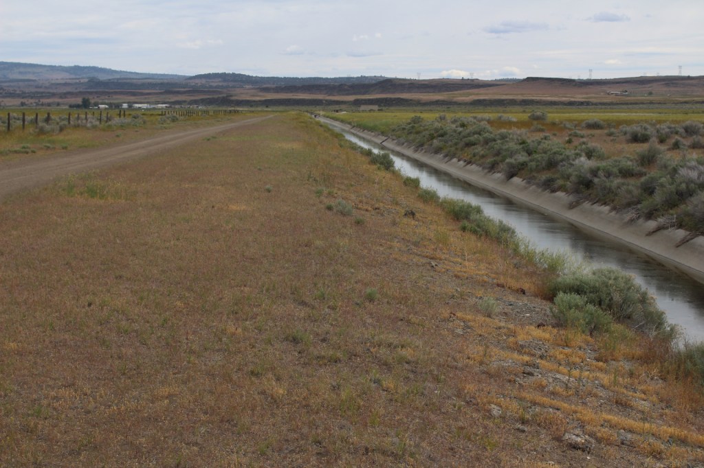
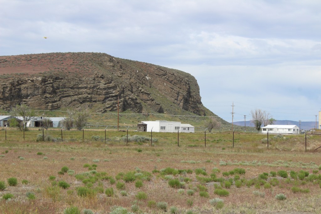
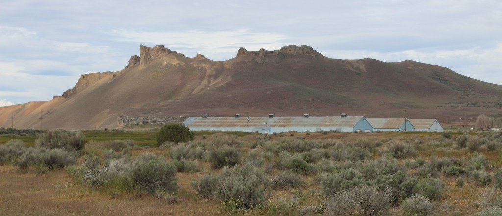
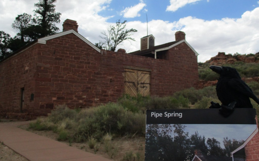
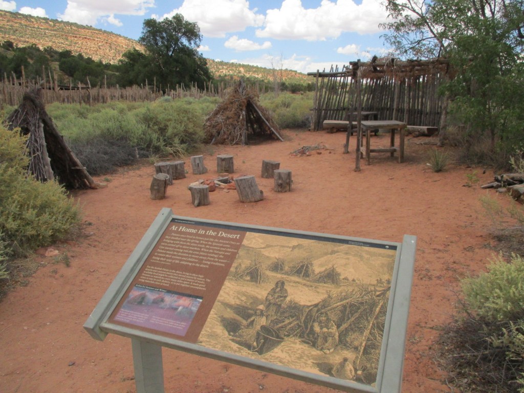
Near the Utah border, Pipe Spring National Monument is located near the turn off from Highway 389 for Grand Canyon-Parashant National Monument and the remote Toroweap Overlook in western Grand Canyon National Park. Likewise, it is only 60 miles from Utah’s famous Zion National Park, so it makes a good stopping point if you are also visiting Kaibab National Forest or the North Rim of the Grand Canyon. The oasis surrounding the three natural springs here demonstrate what this soil can produce when given a little bit of extra water. Ancestral Puebloans and Kaibab Paiute Indians have been coming here for over 1,000 years and it was an important stop on the Old Spanish Trail. In 1858, Pipe Spring was named by Mormon/Latter-day Saint missionary Jacob Hamblin on his way to the Hopi mesas. Following the 1866 Black Hawk War, Mormon settlers built a sandstone fort called Winsor Castle around the source of the main spring where polygamists used to hide their plural wives before selling the ranch in 1895. Today this park on the secluded Arizona Strip is recognized by the International Dark Sky Association.
Learn more about the other 137 National Monuments in our book Monumental America: Your Guide to All 138 National Monuments. It is now available for sale on Amazon.com.
Highlights
Museum, film, garden, ponds, Winsor Castle
Must-Do Activity
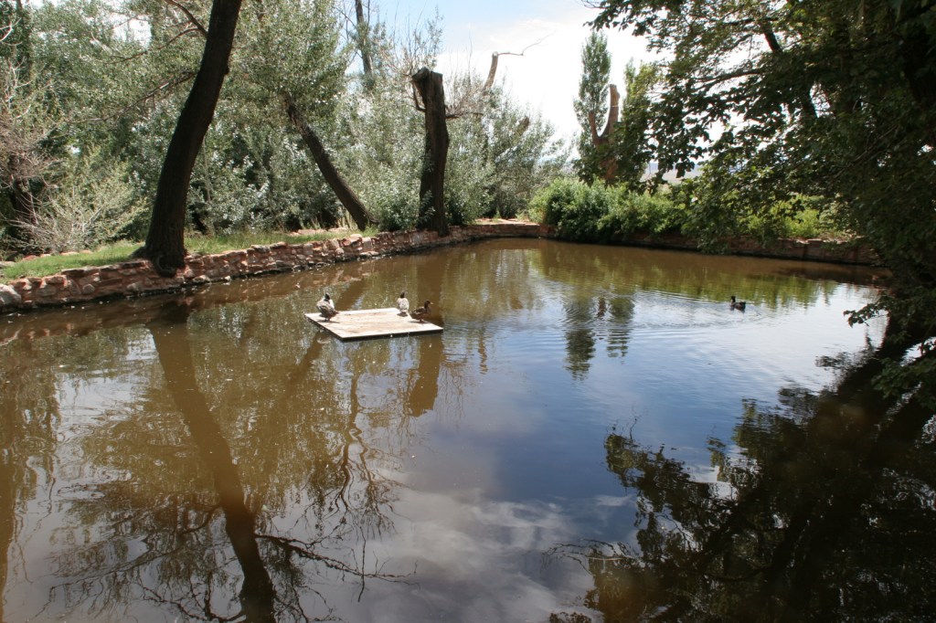
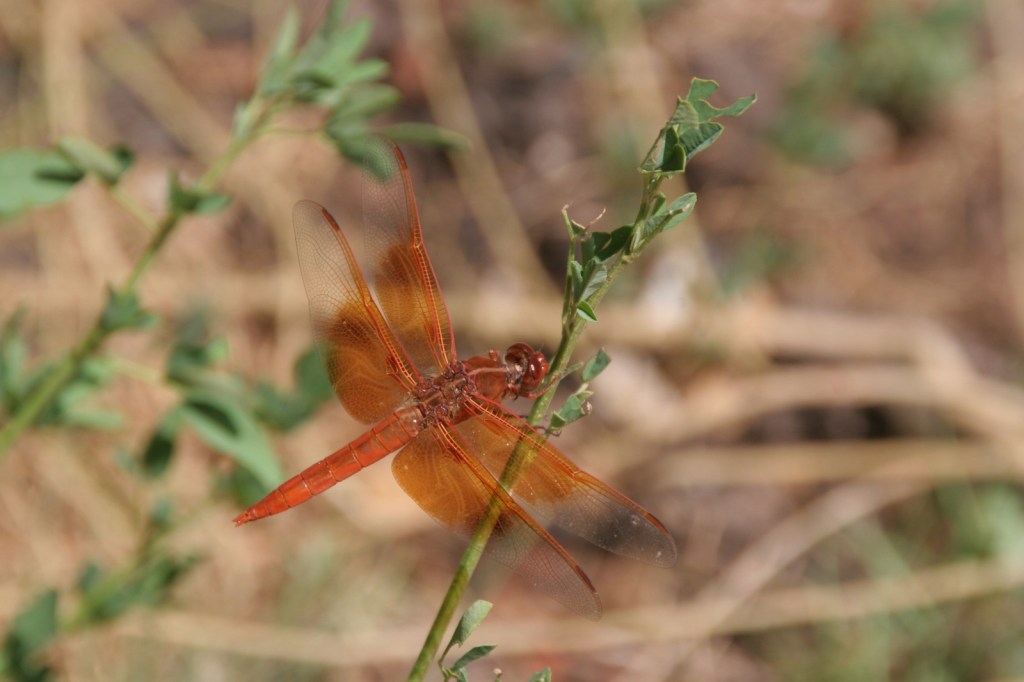
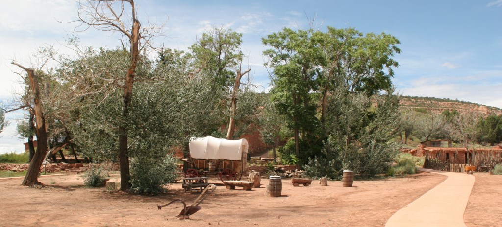
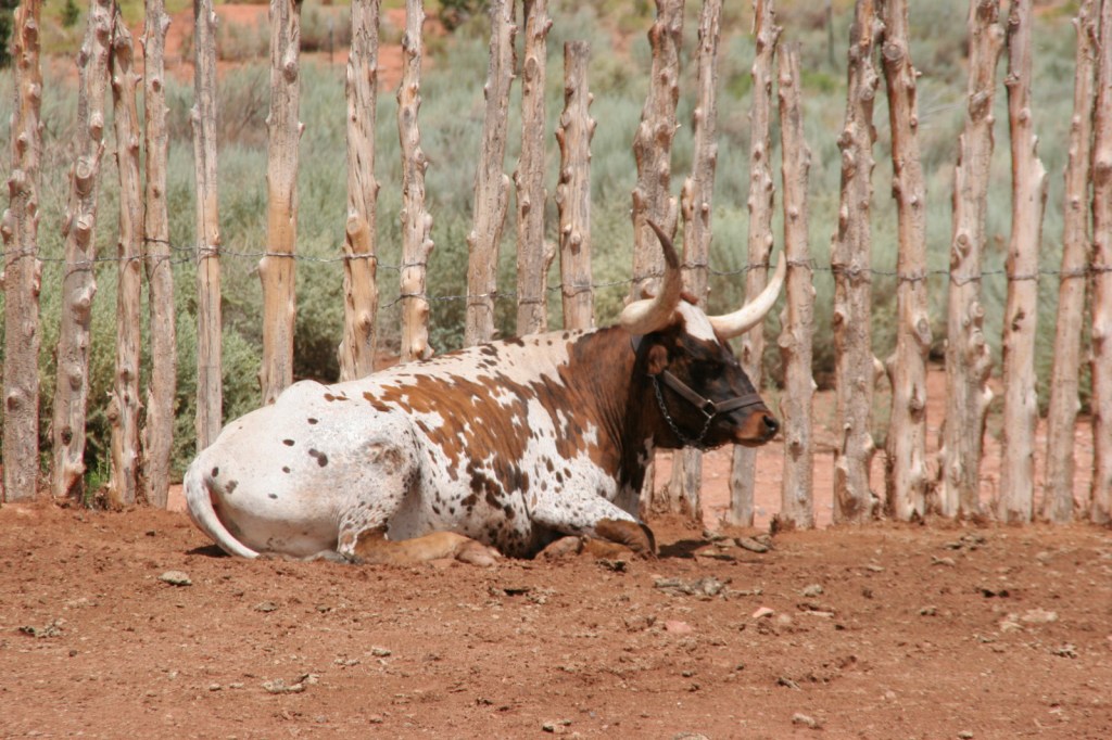
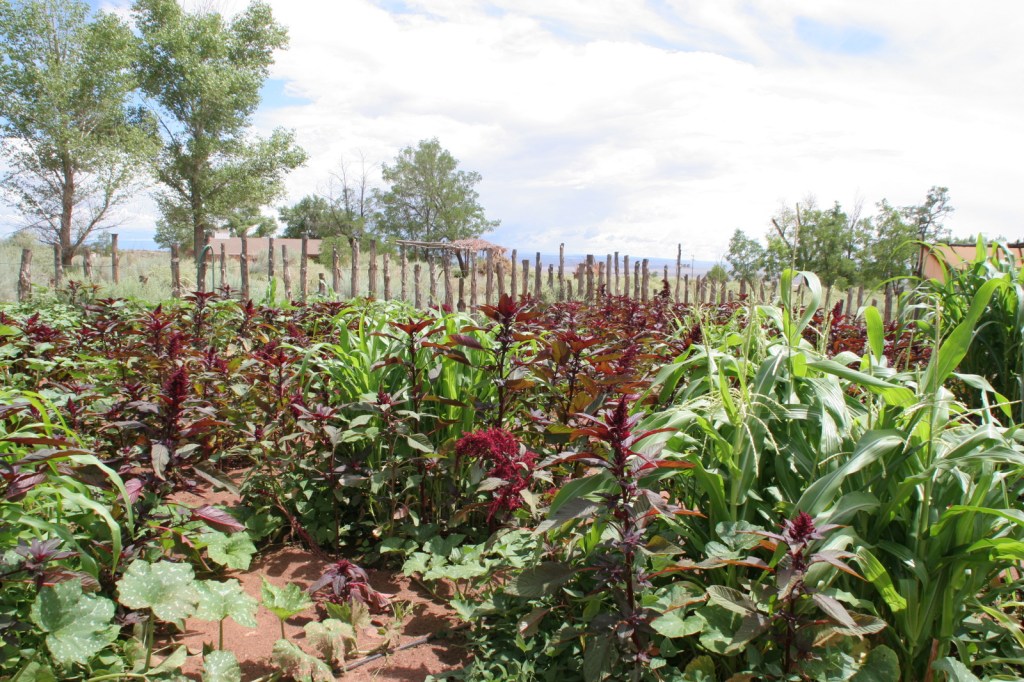
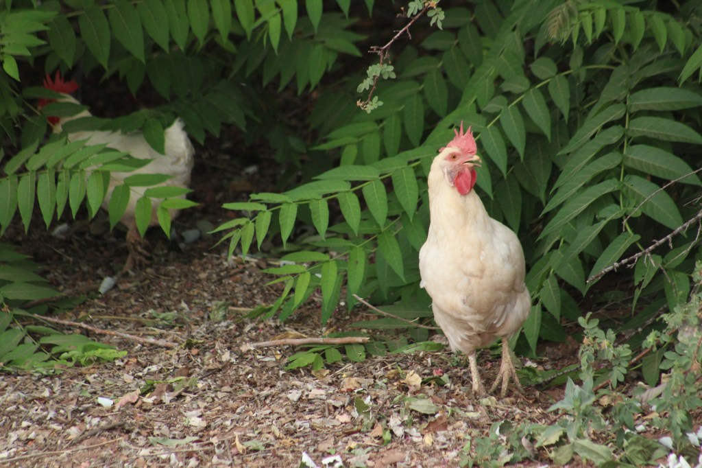
Retention ponds keep Pipe Spring National Monument green in the hot summer months where ducks paddle and dragonflies buzz through the humid air. The National Park Service manages a garden with living history demonstrations given occasionally, plus there is livestock including chickens and two longhorns. When a ranger is present, you can walk around inside Winsor Castle, a Mormon fort that dates back to 1870. If you visit during the summer, we recommend you cool off after some time outside by watching the short film and exploring the museum and gift shop. The museum is co-managed with the Kaibab Band of Paiute Indians whose reservation surrounds the site. On December 7, 2024, the park was open late for the Holiday Traditions event with caroling, Victorian-era crafts, and free food.
Best Trail
The half-mile Ridge Trail leads uphill to an overlook of the Kaibab Plateau and distant Mt. Trumbull in Grand Canyon-Parashant National Monument.
Photographic Opportunity
The modest dimensions of Winsor Castle make it unlikely to be confused with Windsor Castle in England.

Peak Season
Summer
Hours
https://www.nps.gov/pisp/planyourvisit/hours.htm
Fees
$10 per person or America the Beautiful pass
Road Conditions
There is a paved parking lot located off Highway 389.
Camping
The Kaibab Band of Paiute Indians runs a small campground adjoining Pipe Spring National Monument. Dispersed camping is allowed in Kaibab National Forest and the millions of acres run by the Bureau of Land Management on the Arizona Strip.
Related Sites
Grand Canyon National Park (Arizona)
Grand Canyon-Parashant National Monument (Arizona)
Baaj Nwaavjo I’tah Kukveni – Ancestral Footprints of the Grand Canyon National Monument (Arizona)


Explore More – Which indigenous tribes banded together during the 1866 Black Hawk War?

Learn more about the other 137 National Monuments in our book Monumental America: Your Guide to All 138 National Monuments