Tag Archives: museum

Marsh-Billings-Rockefeller National Historical Park

Overview

One could argue that George Perkins Marsh became the world’s first environmentalist with the publication of his book Man and Nature in 1864.  The sole National Park Service (NPS) site in the state of Vermont is dedicated to his property (see below for the state’s America the Beautiful coin).  Later owners, Frederick Billings and the Rockefeller family followed through on Marsh’s conservation principles in their management of the farm and forest.  Laurence and Mary Rockefeller donated the estate to the U.S. government in 1992 and the park opened to the public in 1998.

Marsh.JPG

Highlights

Museum/film in the Carriage Barn Visitor Center, Mansion Tour, Garden Tour, trails

Must-Do Activity

Visitors have to pay for NPS guided tours of the mansion and its original artwork (including paintings by Thomas Cole and Albert Bierstadt).  There is also an entrance fee at the neighboring Billings Farm and Museum which is run by the non-profit Woodstock Foundation and provides a more hands-on experience that is great for kids, especially after a “do not touch” tour of the mansion.

Best Trail

Frederick Billings bought this family farm to practice the reforestation preached in George Perkins Marsh’s book.  There are 20 miles of trails through the forest around Mount Tom that open year round (though a ski trail pass is required in winter).

Instagram-worthy Photo

Be sure to take a walk through the well-manicured gardens on the property before or after your tour.

IMGP0692.JPG

Peak Season

Summer

Hours

https://www.nps.gov/mabi/planyourvisit/hours.htm

Fees

Free to walk the trails, while the wide variety of tours cost extra (discounted with an America the Beautiful pass).  The adjacent Billings Farm is privately managed and charges a separate entry fee.

Road Conditions

All roads paved

Camping

Silver Lake State Park has campsites with running water.

IMGP0666

Tiff out front of the mansion

IMGP0670

The Rockefellers are in the photo on the right

View from the front porch

Jersey cows at Billings Farm

Explore More – What are some other National Park Service units donated by the Rockefeller family?

1WonsTiny2

WONDON WAS HERE

We are a participant in the Amazon Services LLC Associates Program, an affiliate advertising program designed to provide a means for us to earn fees by linking to Amazon.com and affiliated sites.

Jewel Cave National Monument

Overview

Sometimes overshadowed by nearby Wind Cave National Park, the third-longest mapped cave system in the world is located within Jewel Cave National Monument.  Thick calcite crystals are the sparkly jewels that adorn the walls of this gem in the Black Hills of South Dakota.

Know someone who loves exploring new National Monuments? Gift them our book Monumental America: Your Guide to All 138 National Monuments that is available for sale on Amazon.com.

Jewel Cave.JPG

Highlights

Historic Lantern Tour, Scenic Tour, Wild Cave Tour, Canyons Trail

Must-Do Activity

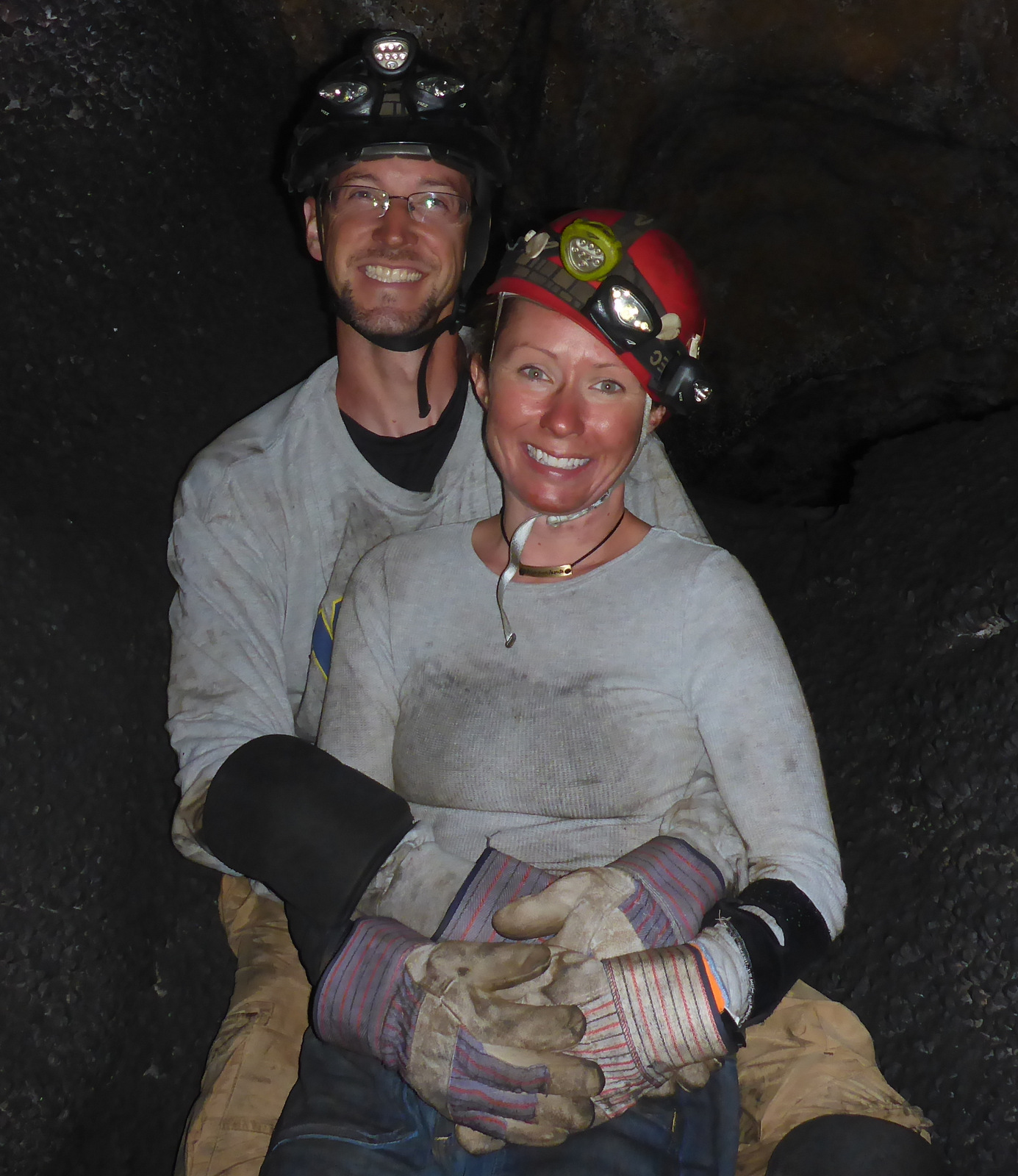
The Scenic Tour is a good option for most first-time visitors, and the Historic Lantern Tour is the only way to go inside the historic entrance (online tour reservations are recommended). The Wild Cave Tour is reserved for those willing and able to squeeze through the 8.5 x 24-inch crawlspace located out front of the visitor center.  It is a taste of what is to come during sections like the “Brain Drain.”  Thick layers of manganese will permanently stain clothing worn by those brave enough to take this epic 4-hour journey that crawls less than half a mile past rare hydromagnesite balloons and gypsum flowers.

Best Trail

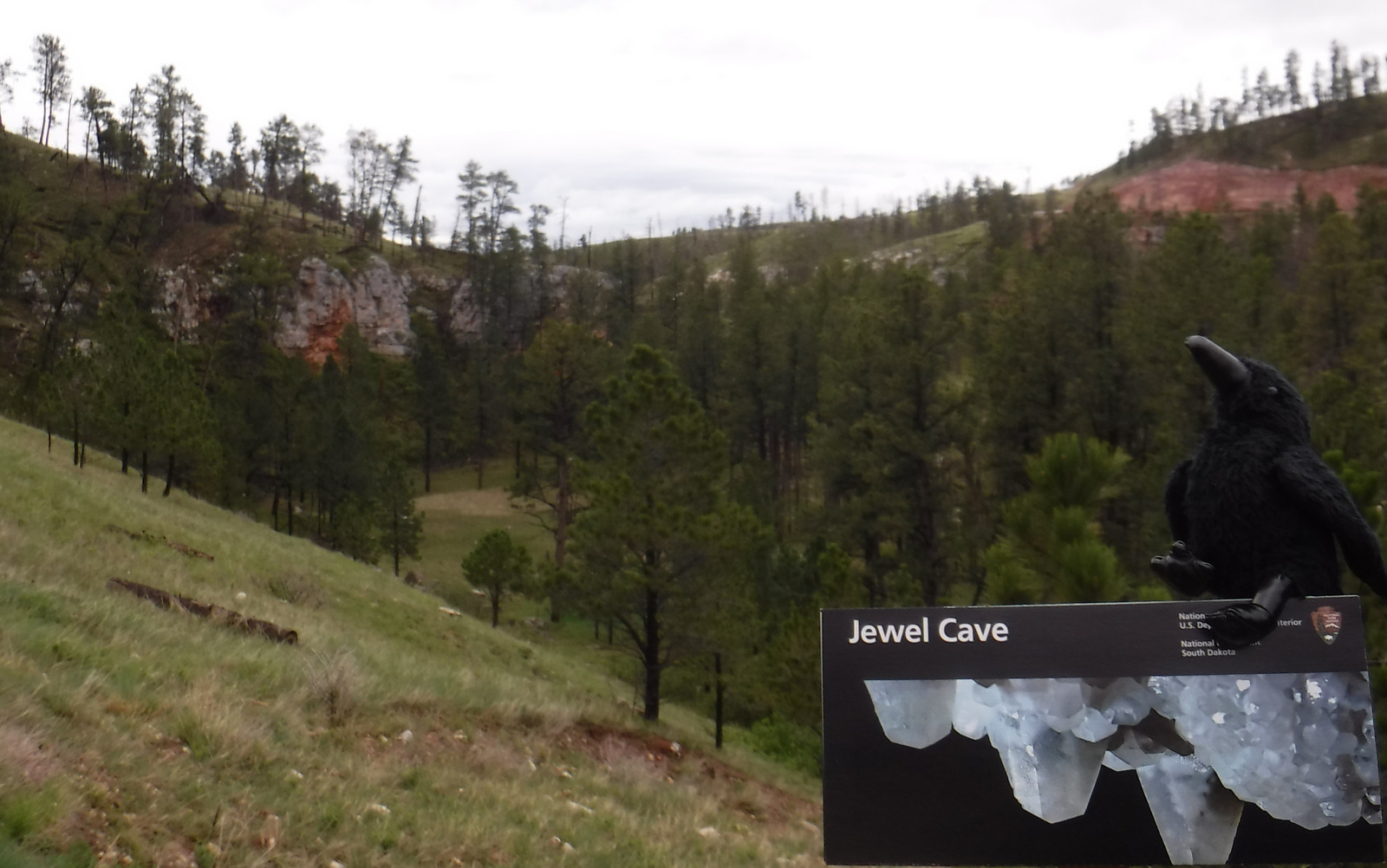
Most of the forest within the monument has burned, but Canyons Trail makes a 3.5 mile loop from the visitor center or Historic Ranger Cabin.

Instagram-worthy Photo

Most cave tours do not allow you to touch anything, but on the Historic Lantern Tour at the historic entrance to the cave (summer only) you can feel the 4-inch long calcite crystals (also called dogtooth spar) that formed like a bathtub ring as water slowly drained out.

August 2012 494.JPG

Peak Season

Summer when the Historic Lantern Tour and Wild Caving Tour are offered.

Hours

https://www.nps.gov/jeca/planyourvisit/hours.htm

Fees

None to park, but there is a charge for all tours.

Road Conditions

All roads paved.  Note that the Historic Lantern Tour at the historic entrance to the cave is not at the main visitor center where the elevator is.

Camping

None, but plenty of places at Custer State Park, Wind Cave National Park, and Black Hills National Forest.

Related Sites

Mount Rushmore National Memorial (South Dakota)

Buffalo Gap National Grassland (South Dakota)

Badlands National Park (South Dakota)

Nearest National Park

Wind Cave

A July 2017 525
Wild Caving Tour patrons have to prove they can squeeze through this 8.5×24-inch crawlspace.
A P1000224
…so they can do this later inside the cave.
A P1000232
Thick layers of manganese will permanently stain clothing worn on the Wild Caving Tour.
August 2012 448
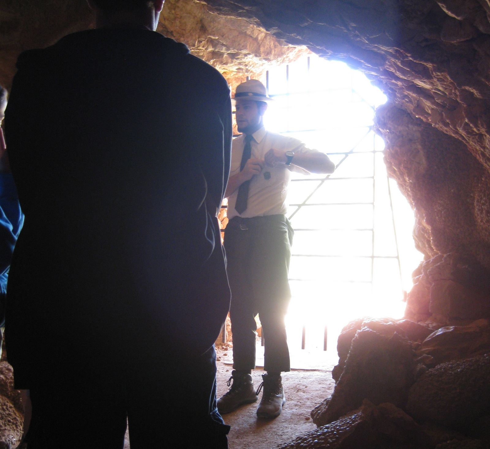
Ranger at the entrance for the Historic Lantern Tour.
August 2012 471
August 2012 505
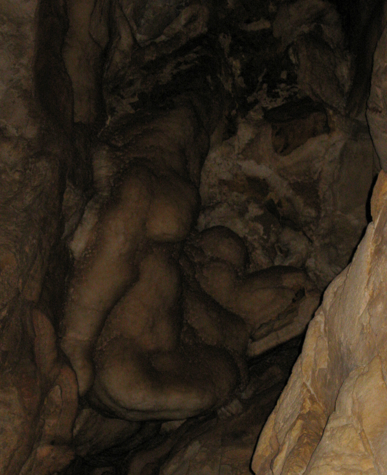
This formation is known as “Madonna and Child.”

Explore More – How many miles of the cave’s passages have currently been mapped?

Learn more about the other 137 National Monuments in our book Monumental America: Your Guide to All 138 National Monuments

Congaree National Park

Overview

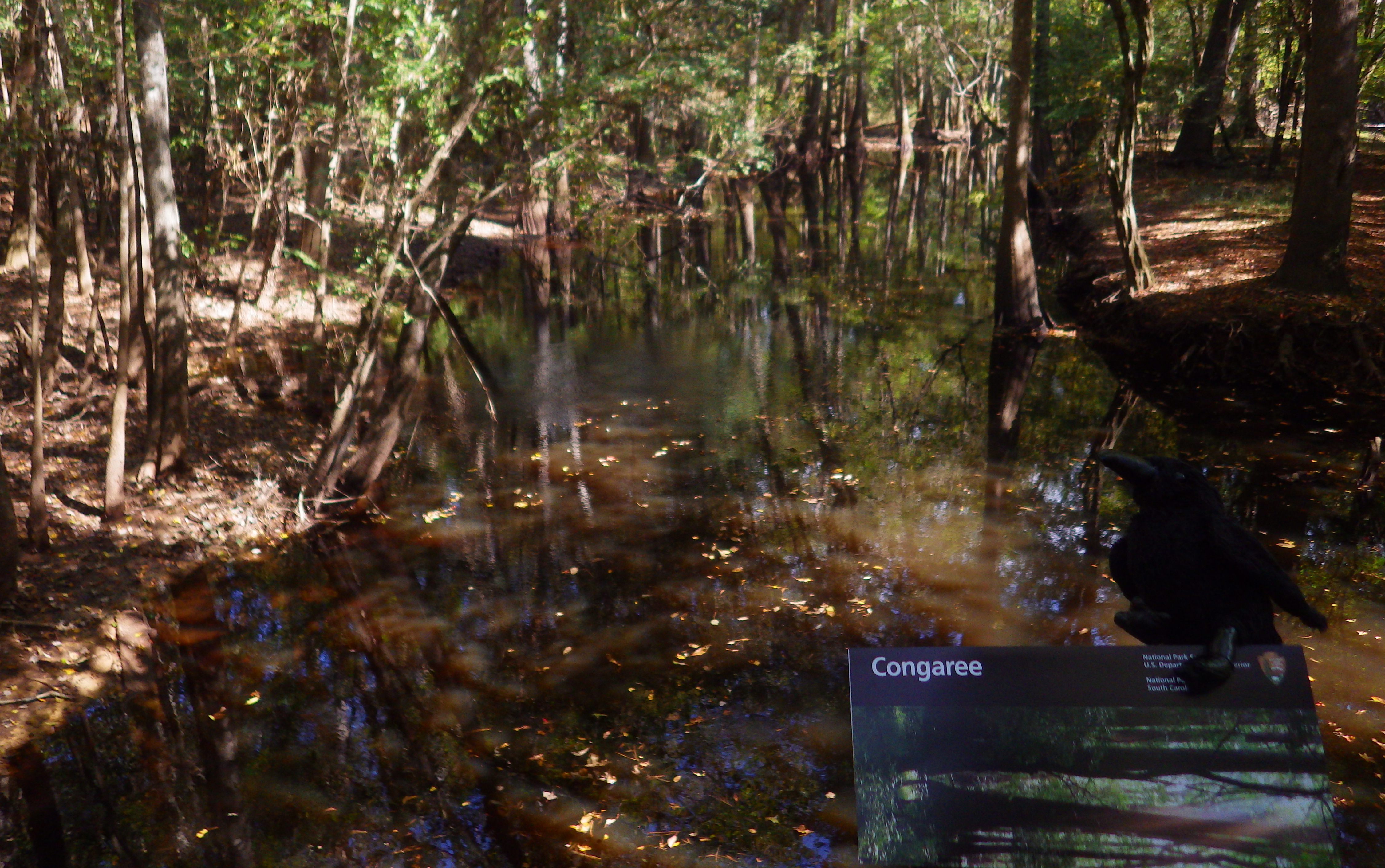
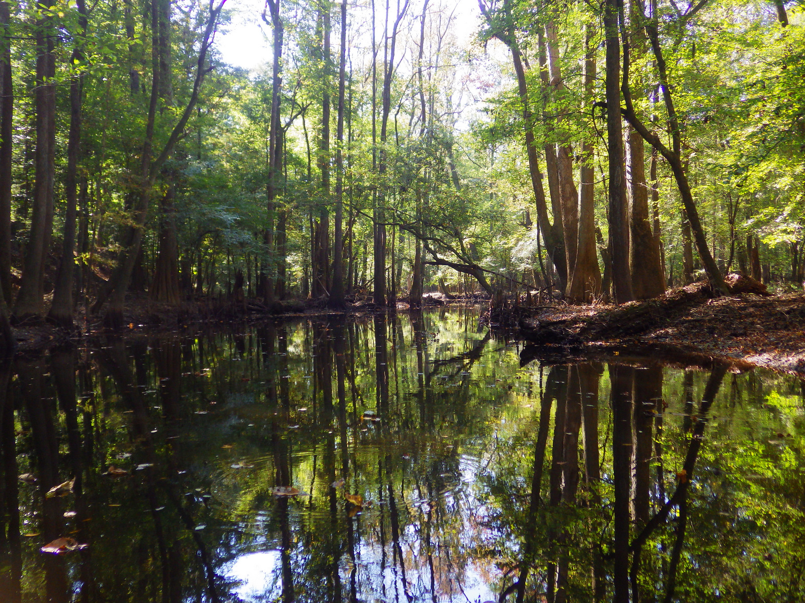
The last uncut bottomland hardwood forest in the southeast was originally preserved as Congaree Swamp National Monument in 1976 then became a National Park in 2003.  These forests once covered 52-million acres of the southeastern United States and today this park contains some of the tallest examples of its native tree species in the world.

Congaree.JPG

Highlights

Baldcypress trees with knees, hiking, birding, paddling

Must-Do Activity

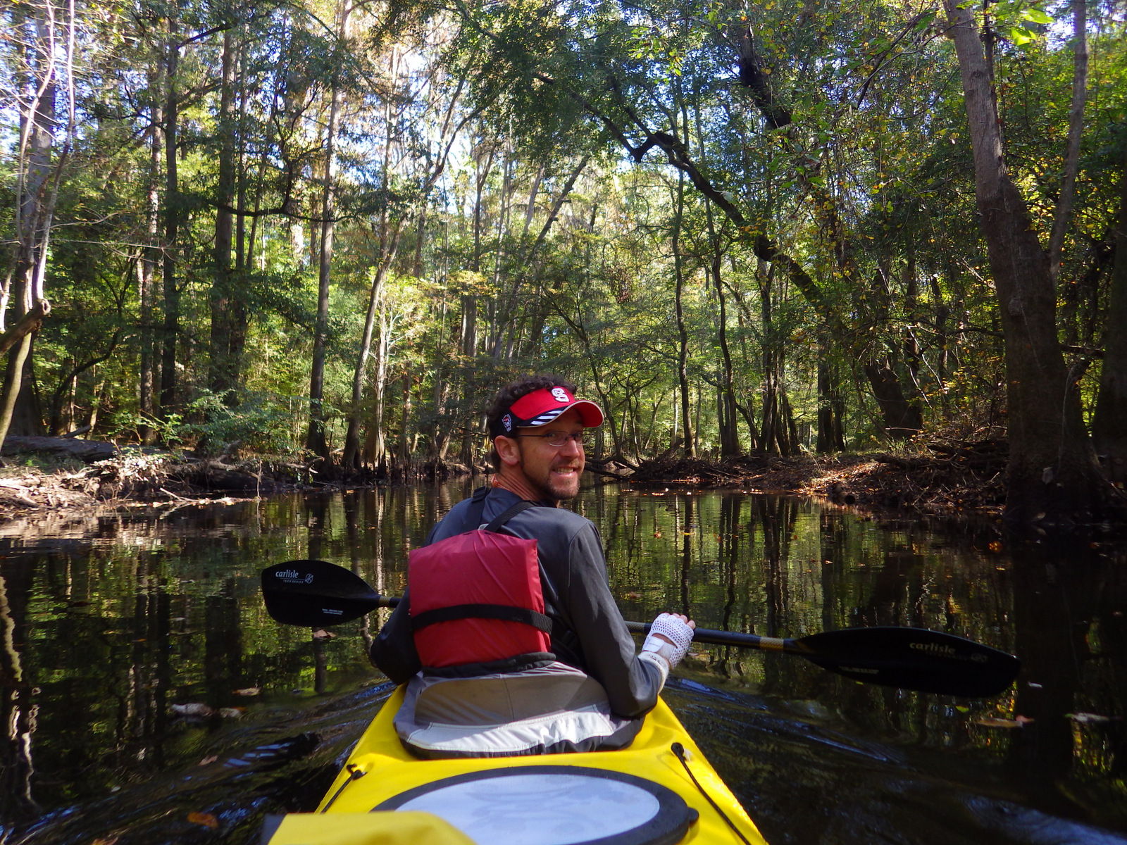
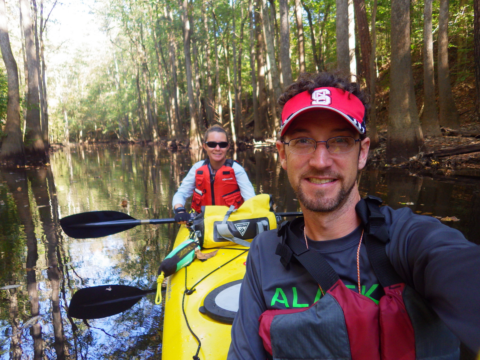
Hop in a canoe or kayak to explore remote sections of this primeval forest.  As you might imagine, all of this standing water is a great breeding ground for mosquitoes; just another reason to come in the winter.  At the visitor center, a handy rating system helps prepare you for the onslaught or the “All clear.”

Best Trail

Even if the ground is flooded, stick to the wheelchair accessible boardwalk and you can still hike through the forest for 2.4 miles without getting your feet wet.

Instagram-worthy Photo

Our favorite tree here is the baldcypress, one of the few deciduous conifer trees (meaning it loses all its needles every autumn).  Baldcypress trees are famous for their “knees” which rise from their roots up to seven feet in the air, helping the roots breathe when underwater.

37-[000308].jpg

Peak Season

We prefer the winter when mosquitoes are absent, but anytime is good at this park that only saw 159,595 visitors in 2017.

Hours

https://www.nps.gov/cong/planyourvisit/hours.htm

Fees

None

Road Conditions

All roads paved, except right at the Cedar Creek Landing boat launch.

Camping

Longleaf Campground has 8 sites and Bluff Campsite has three about a mile from the visitor center.  Backcountry camping is allowed with a free permit.

30 IMGP0923
Paddle a kayak or canoe for a special look into these primeval floodplain forests.

30 IMGP0943

31-[003593]
Winter is a good time to visit if you want to avoid the “ruthless” mosquitoes.


33-[000274]
The boardwalk keeps your feet dry even if the forest is flooded.

35-[000477]

36-[003650]

30 IMGP0944

LR CONG.jpg
This design we created to celebrate Congaree National Park is available on a variety of products at Cafe Press and Amazon.

Explore More – How tall are the record-holding water tupelo, cherrybark oak, and swamp hickory trees in the park?

1WonsTiny2

WONDON WAS HERE


We are a participant in the Amazon Services LLC Associates Program, an affiliate advertising program designed to provide a means for us to earn fees by linking to Amazon.com and affiliated sites.

Fort Necessity National Battlefield

Overview

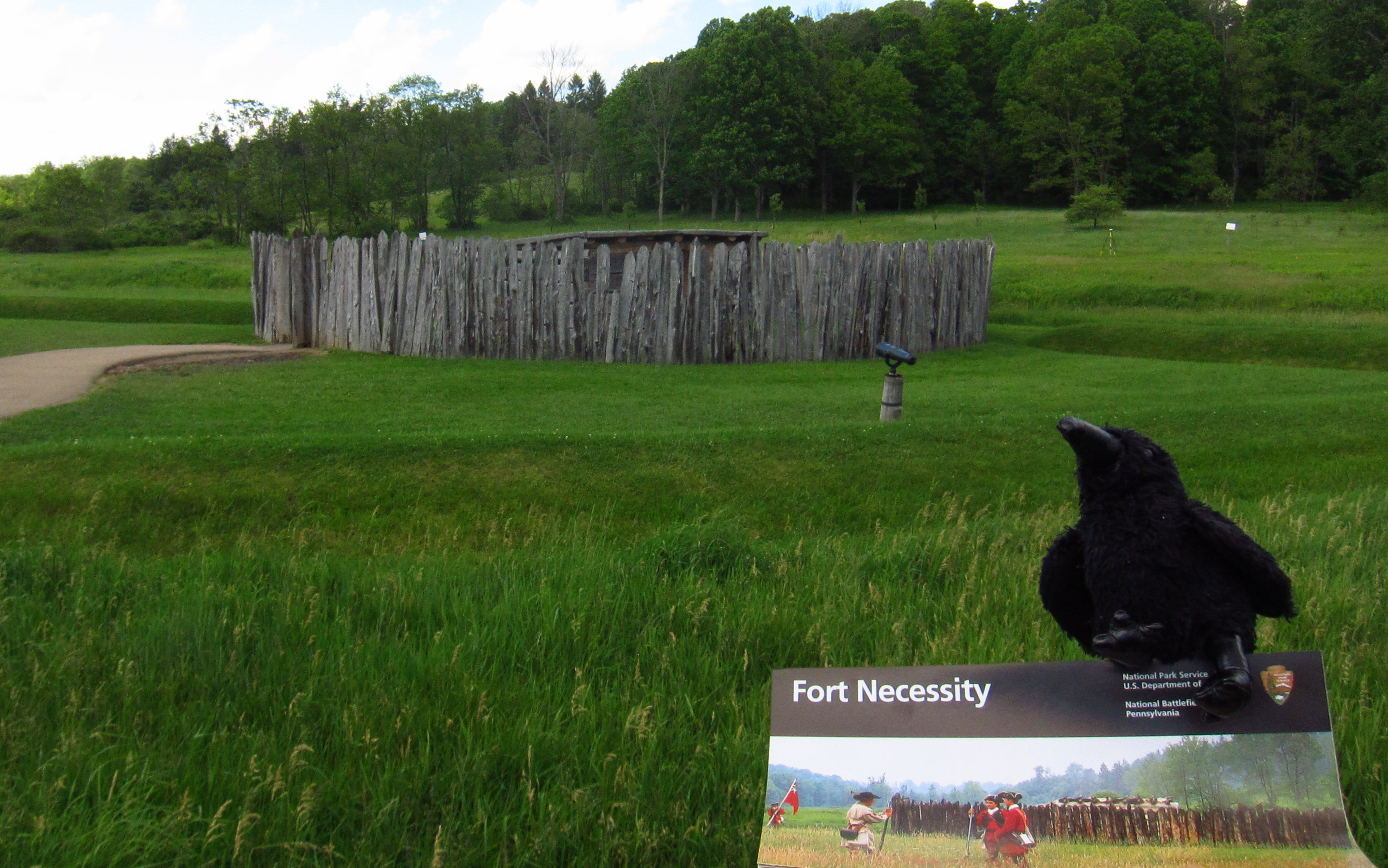
In a nondescript field in rural western Pennsylvania, a battle began what some historians consider the first worldwide war.  In April 1754, a young George Washington led British troops, Virginia militia, and their American Indian allies on a mission to push the French out of the western frontier.  After Washington’s troops ambushed and scalped French officers, an angry retaliatory force pinned him down at the hastily constructed Fort Necessity.  Washington surrendered on July 3, 1754, starting a global conflict that became known as the Seven Years War (or the French and Indian War).

Necessity.JPG

Highlights

Museum, reconstructed fort, Mount Washington Tavern

Must-Do Activity

The National Park Service manages an excellent museum and a re-creation of the small fort.  There is a playground, too, perhaps to entice children to come learn that little actions can have big consequences.

Best Trail

Make a side trip to nearby Jumonville Glen, where a short loop trail guides visitors through the forest where the initial ambush on the French occurred.

Instagram-worthy Photo

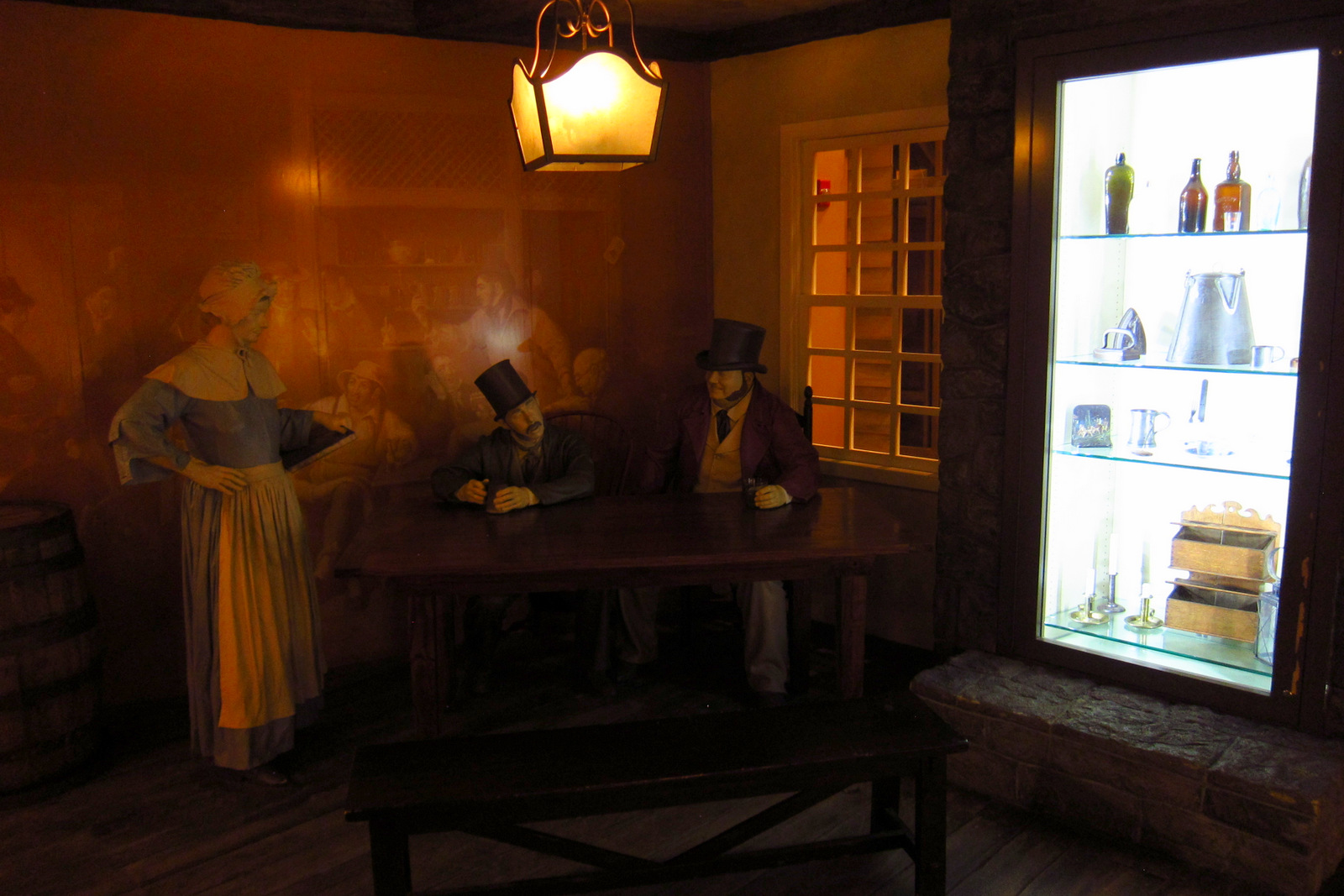
The reconstructed Mount Washington Tavern, a stagecoach stop on the historic National Road.  Construction of the National Road began in 1811 and businesses like this one soon popped up to serve travelers.

June North Carolina 051

Peak Season

Open year round, except Jumonville Glen and Braddock’s Grave are only open in summer.

Hours

https://www.nps.gov/fone/planyourvisit/hours.htm

Fees

None

Road Conditions

All roads paved

Camping

Ohiopyle State Park has running water, as do several private campgrounds nearby.

June North Carolina 061

June North Carolina 055
Archaeologist using a metal detector to look for artifacts from 1754.

June North Carolina 066
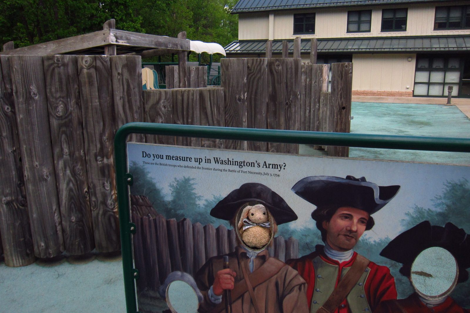
Not many National Park Service sites have a playground like Fort Necessity National Battlefield.

June North Carolina 028
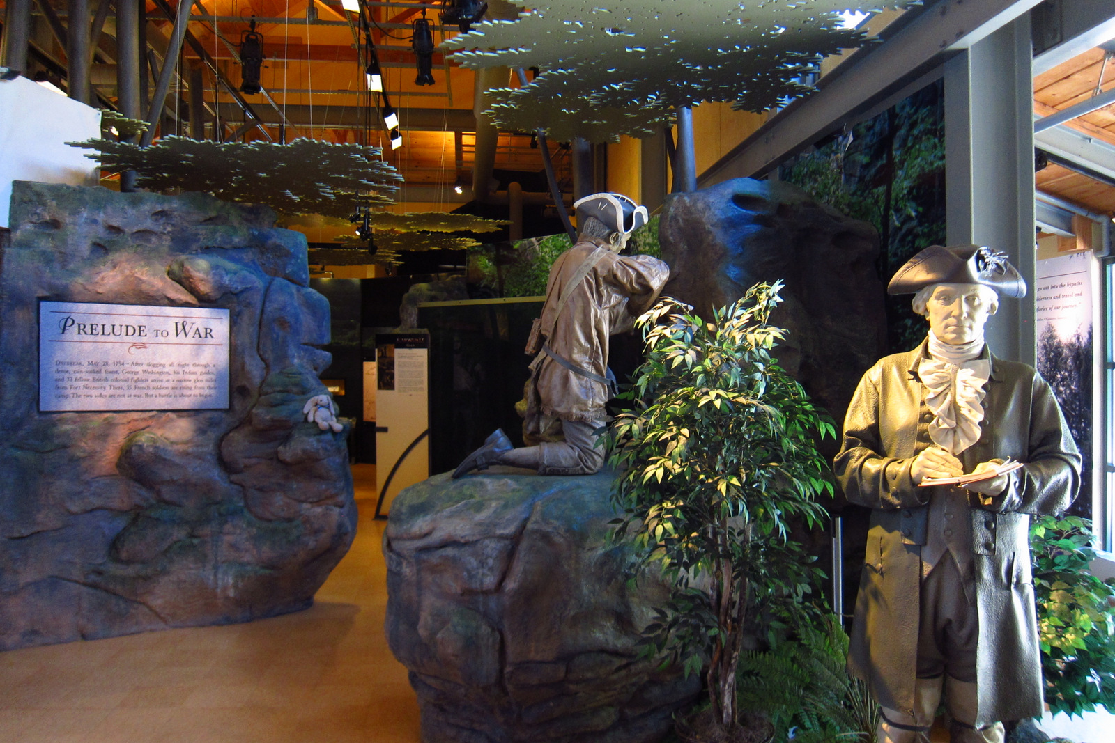
The free National Park Service museum details the battle and its global ramifications; there’s young George Washington.

June North Carolina 069

June North Carolina 046
Inside the Mount Washington Tavern.

June North Carolina 043

June North Carolina 072
Ambush site at Jumonville Glen.

Explore More – Despite its name, the Seven Years War actually lasted how many years after fighting took place on four continents (as well as in the Philippines and Caribbean islands)?

1WonsTiny2

WONDON WAS HERE

John Day Fossil Beds National Monument

Overview

There are three units of this National Monument named for the John Day River that drains this region in the rain shadow of the Cascades.  It is less green than much of Oregon, but that lack of vegetation allows the wonderful colors of the soil to show through in places like the Painted Hills and Blue Basin.

July Oregon 1777.JPG

Highlights

Scenic views, geologic formations, fossils, museum

Must-Do Activity

The Thomas Condon Paleontology Center gets our vote for the best museum in the entire National Park Service System.   Across from Sheep Rock, it has awesome exhibits on the 40-million years of mammalian history this monument protects.  Plus, watch real laboratory specimens being prepared by archaeologists.  Across the highway, have a picnic at the James Cant Ranch Historic District and learn about sheep and cattle ranching in this region.

Best Trail

The Blue Basin is accurately named at the end of the one-mile Island in Time Trail.

Instagram-worthy Photo

If you can only see one unit of the monument, make sure it is the surreal Painted Hills. Stunning colors on large clay hills with several interpretive loop trails describe the geological history and fossils found there.

2016ORjohnday4

Peak Season

Summer, though wildfires can cause road closures.

Hours

https://www.nps.gov/joda/planyourvisit/hours.htm

Fees

None

Road Conditions

Dirt roads at the Painted Hills are passable with most vehicles when dry.

Camping

None within the monument, but there are several campgrounds in the area, including a nice one we stayed at in the town of Fossil, Oregon.

July Oregon 1732
The John Day River running through the National Monument.

Rock formations like the ones at Devils Postpile NM
The Thomas Condon Paleontology Center gets our vote for the best museum in the entire NPS System.

July Oregon 1746
The blue badlands at the end of the one-mile Island in Time Trail. 

Group shot


2016ORjohnday6
There are several trails through the Painted Hills for up-close views of the colorful soil.

IMG_1709


Explore More – Which unit of the National Monument is known for its fossil plants in mudstone?

1WonsTiny2

WONDON WAS HERE