Tag Archives: museum

Midewin National Tallgrass Prairie

Midewin National Tallgrass Prairie

Illinois

Managed by U.S. Forest Service, Northern Region

20,283 acres

Website: https://www.fs.usda.gov/midewin

Overview

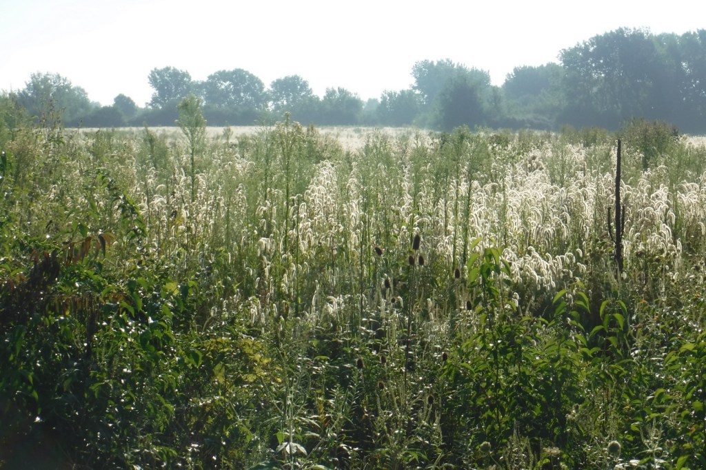
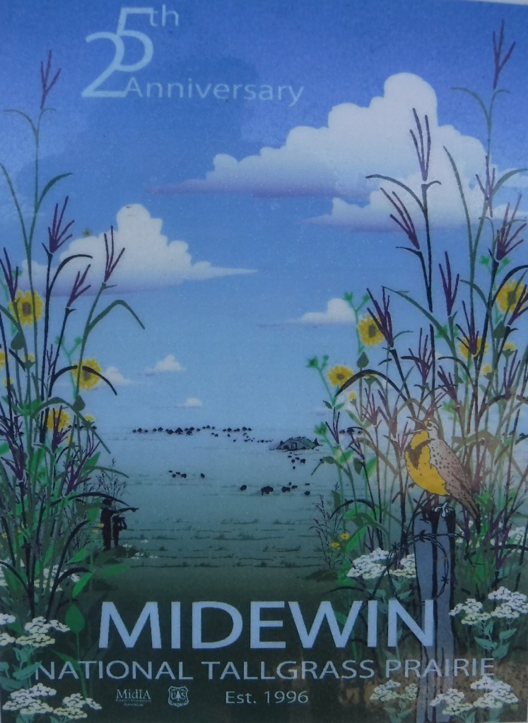
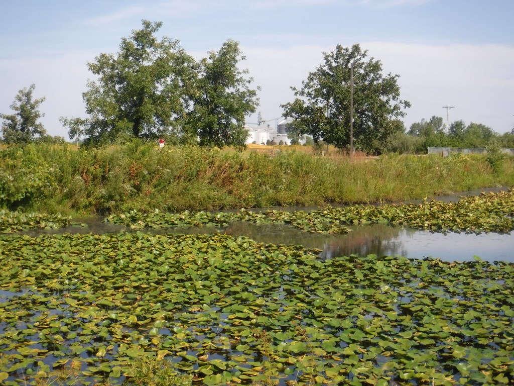
Midewin National Tallgrass Prairie was established in 1996 and opened to visitors eight years later following some ecological restoration and decontamination.  It is located on the site of the Joliet Army Ammunition Plant that produced TNT from 1940 to 1976.  In combination with neighboring Des Plaines Fish and Wildlife Area and other preserves, over 40,000 acres are protected in this area south of Chicago’s suburbs.  Restoration of the tallgrass prairie is ongoing with planting and prescribed burning to promote the growth of native plants.  In 2015, 27 bison were introduced on 1,200 acres and the herd has grown to more than 50.  Midewin (pronounced “mi-DAY-win”) is a Potowatomi word referring to tribal healers.
Highlights

Midewin Welcome Center, Route 66, historic bunkers, bison herd

Must-Do Activity

The best place to start a visit is the Midewin Welcome Center on Highway 53, just south of the Southwest Bison Overlook.  There you can read about the history of the area, pick up pamphlets on birds and wildflowers, and get information on the more than 30 miles of trails, including 21.7 miles open to bikers and equestrians.  The 7,000 acres of accessible public lands are open 4 a.m. to 10 p.m. daily.

Best Trail

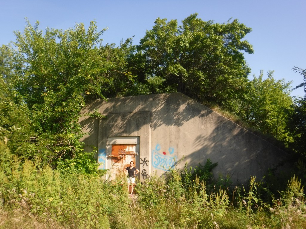
Several trails leave from the Iron Bridge Trailhead north of the visitor center.  We took Group 63 Trail that starts in a forest then opens up as it accesses Bunker 63-1, which is unlocked for exploration.  The entire trail makes a 3.5-mile loop around a group of bunkers following the northern border of the fenced-off bison pasture. 

Watchable Wildlife

Midewin remains the only federal tallgrass prairie preserve east of the Mississippi River, restoring an extremely rare ecosystem that was mostly converted to agriculture.  Golden gophers (or 13-lined ground squirrels) fill the ecological niche of prairie dogs here.  Coyotes and white-tailed deer are also found in this area.  In 2015, bison were introduced on 1,200 acres of the preserve, and the herd has increased from the original four bulls and 23 cows.  A color pamphlet highlighting native birds is available at the visitor center and trailheads.  In addition to songbirds, raptors like red-tailed hawks, northern harriers, and short-eared owls can be seen.  We came across a flock of turkeys near the turtle pond south of Hoff Road. 

Instagram-worthy Photo

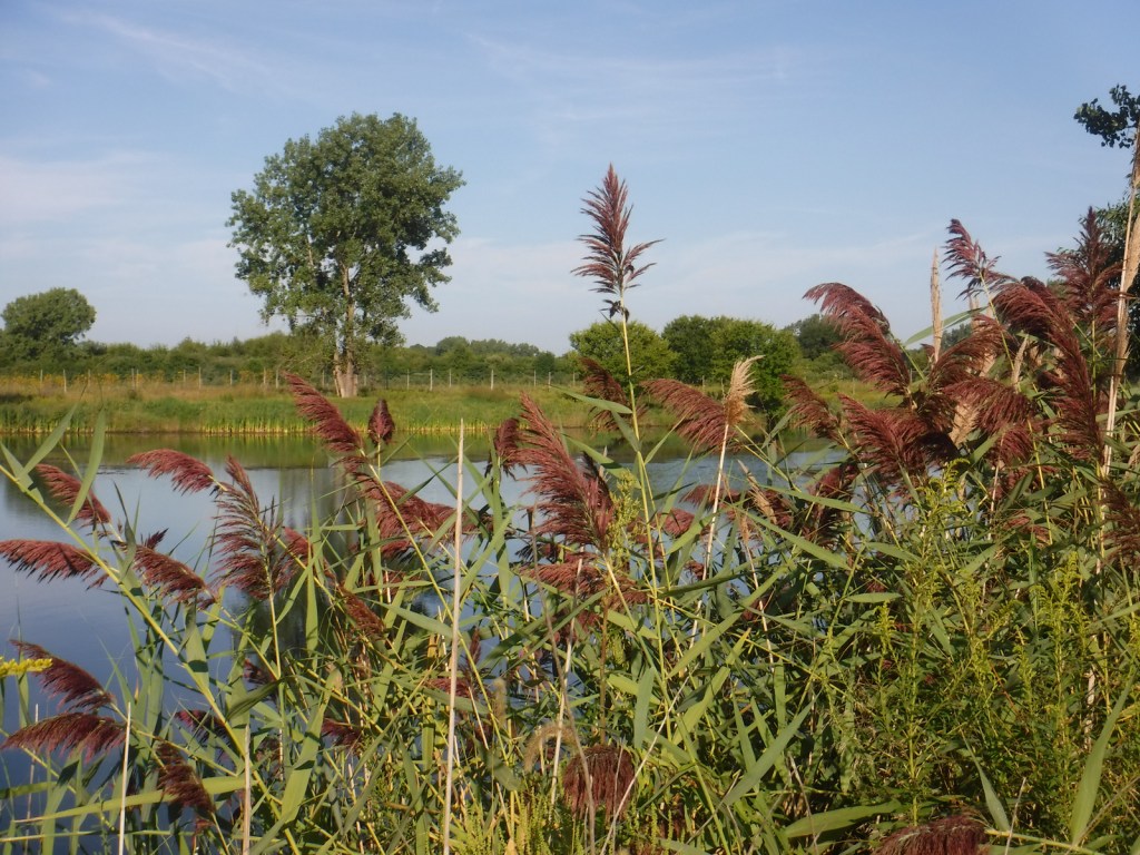
A turtle pond is accessible by walking a closed road one mile from the Hoff Road Trailhead.

Peak Season

Spring

Fees

None

Road Conditions

The main access roads are paved and the trailhead parking areas are gravel lots.  Many of the trails are former roads, both paved and unpaved.  At the Iron Bridge Trailhead, bicycles are available to rent as part of the 75 miles of trails following the Illinois and Michigan Canal National Heritage Corridor.

Camping

There is no camping at Midewin National Tallgrass Prairie, as the public lands are only open 4 a.m. to 10 p.m. daily.  Campgrounds outside of Chicago include Starved Rock State Park, Illini State Park, Des Plaines Conservation Area, and across the state border at Indiana Dunes National Park.

Related Sites

Tallgrass Prairie National Preserve (Kansas)

Pullman National Historical Park (Illinois)

Cedar River National Grassland (North Dakota)

Nearest National Park

Indiana Dunes

Explore More – During World War II, 3,400 women worked at the Joliet Army Ammunition Plant, representing what percentage of the workforce?

Black Kettle National Grassland

Black Kettle National Grassland

Oklahoma, Texas

Managed by U.S. Forest Service, Southern Region

33,113 acres (31,286 federal/ 1,827 other)

Website: https://www.fs.usda.gov/detail/cibola/home/?cid=stelprdb5397425

Overview

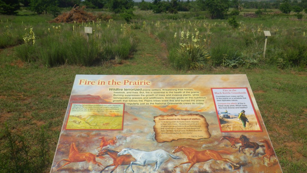
Like Cimarron National Grassland in Kansas, Black Kettle National Grassland was purchased by the federal government during the 1930s Dust Bowl.  This is one of the only National Grasslands with a visitor center, shared with the National Park Service (NPS) who manages Washita Battlefield National Historic Site at the site of an 1868 massacre that took the life of Chief Black Kettle of the Southern Cheyenne.  Even though the downstairs U.S. Forest Service office was closed on our Saturday visit, the NPS ranger at the desk provided a map and information on the National Grassland.  We also walked the paved interpretive trail at the visitor center that explained homesteading, prescribed burning, and preserving the rare shinnery oak species. 

Highlights

Black Kettle Recreation Area, Lake Marvin, Spring Creek Lake, Croton Creek Watchable Wildlife Area, Skipout Lake, Cheyenne Nature Walk

Must-Do Activity

Recreation here surrounds four reservoirs, including a tiny parcel around 63-acre Lake Marvin in Texas.  In Oklahoma, there are 60-acre Skipout Lake, 50-acre Spring Creek Lake, and 80-acre Dead Warrior Lake.  Fishing, picnicking, and free primitive camping are allowed at all four reservoirs, with a 1.75-mile trail circling Skipout Lake and wooded trails south of Dead Warrior Lake in Black Kettle Recreation Area. 

Best Trail

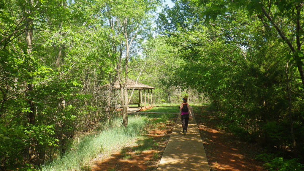
Unlike some other National Grasslands, there are multiple marked and maintained trails here, including two loops totaling 1.6 miles at Croton Creek Watchable Wildlife Area (south of Highway 47) lined by small signs describing native grasses, trees, and birds.  A slightly hidden trail is shown on the Forest Service app in the town of Cheyenne where a sidewalk heads into the woods leaving from the parking lot at the high school baseball field.  The Cheyenne Nature Walk is paved and has a gazebo and boardwalk crossing a wetland area that was dry during our May visit.

Watchable Wildlife

Three unique bird species we spotted during our May visit were Mississippi kites, northern bobwhite quail, and scissor-tailed flycatchers.  In addition, we saw cardinals and woodpeckers, and heard whippoorwills, barn owls, and barred owls overnight.  Wild turkeys, cedar waxwings, and lesser prairie chickens are also among the 277 bird species identified.  Tracks of white-tailed deer and raccoons were abundant on the Croton Creek Trail, plus there are bobcats, mountain lions, and beavers in the area.  Fishermen can catch black bass, saugeye, catfish, and other types of pan fish. 

Instagram-worthy Photo

This area is more heavily wooded than some other prairie National Grasslands, which can be experienced on the Croton Creek Trail and Cheyenne Nature Walk (watch for poison-ivy).

Peak Season

Spring and fall

Fees

None

Road Conditions

Highways 283, 33, and 47 are paved roads that run through the National Grassland, and despite abundant spring rainstorms, we did not have any difficulty with the unpaved roads.

Camping

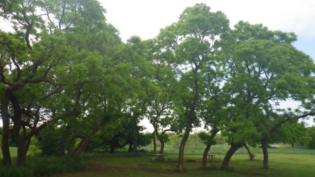
All four lakes offer free primitive campsites with some picnic tables, as does Croton Creek Watchable Wildlife Area where we stayed only six miles west of Cheyenne.  RV campsites with hookups at Lake Marvin cost $20 a night.

Related Sites

Washita Battlefield National Historic Site (Oklahoma)

Alibates Flint Quarries National Monument (Texas)

Cimarron National Grassland (Kansas)

Nearest National Park

Great Sand Dunes

Explore More – The South Canadian River flows north of Black Kettle National Grassland, but what is the river that runs through the middle of it?

Francis Marion National Forest

Francis Marion National Forest

South Carolina

Managed by U.S. Forest Service, Southern Region

414,700 acres (258,864 federal/ 155,836 other)

Website: https://www.fs.usda.gov/scnfs

Overview

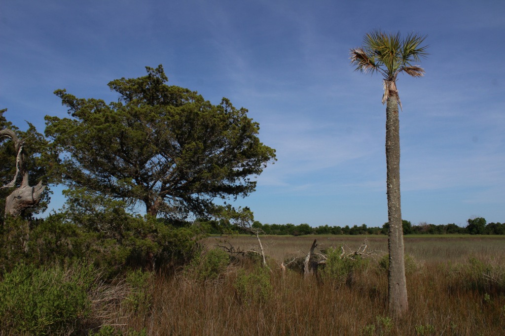
Located on South Carolina’s coast between Myrtle Beach and Charleston, Francis Marion National Forest was devastated by the 130-mile-per-hour winds of Hurricane Hugo in 1989.  Young and damaged trees have grown back in the subtropical coniferous and maritime forests, although some attractions like the Sewee Shell Ring Boardwalk have never been rebuilt.  Other historic sites in the National Forest include the 1768 St. James Church, Battery Warren from the Civil War, and Watahan Historical Area, which has colonial plantations and the site of a 1782 Revolutionary War battle.  On the Santee River, Guilliard Lake Scenic Area has three trails that visit an old-growth baldcypress forest, but the National Forest’s four Wildernesses are mostly inaccessible wetlands. 

Highlights

Sewee Visitor and Environmental Education Center, Buck Hall Recreation Area, Battery Warren Historic Site, Huger Recreation Area, Honey Hill Recreation Area, I’on Swamp Interpretive Trail, Shell Ring Trail, Palmetto Trail

Must-Do Activity

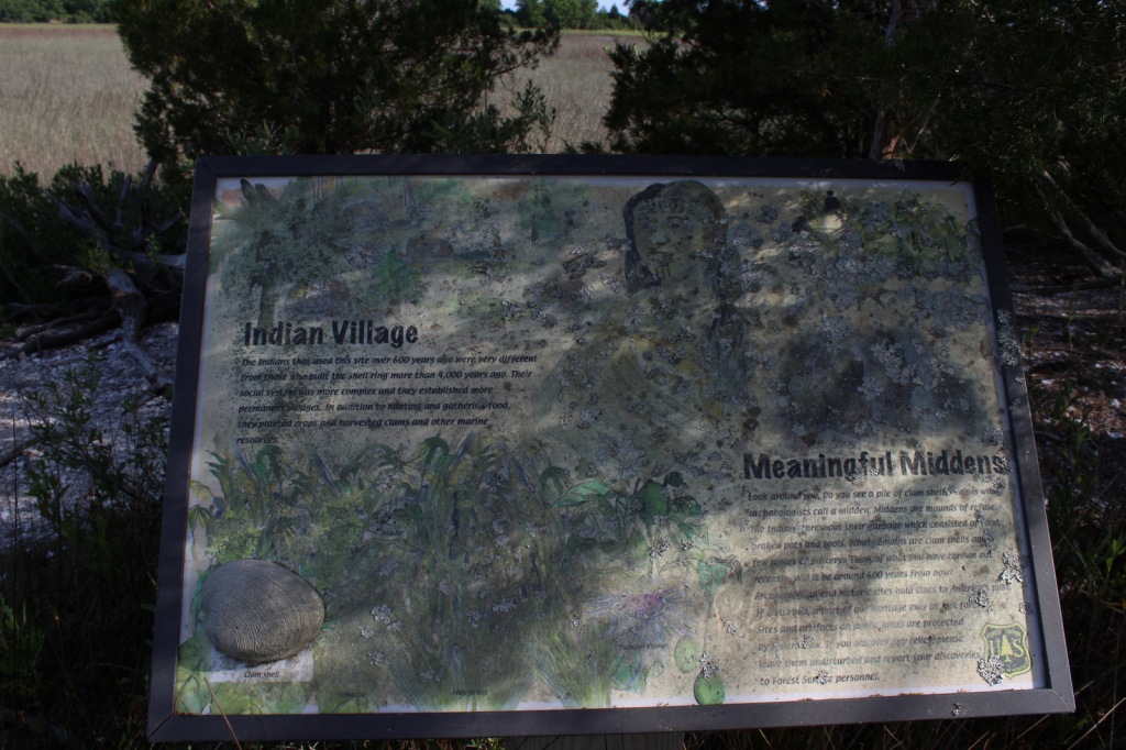
Sewee Visitor and Environmental Education Center is a good place to start a visit, and includes an exhibit on reintroducing red wolves.  Not far away, Sewee Shell Ring Boardwalk was never rebuilt after Hurricane Hugo in 1989, but the trail to the boardwalk remains open (despite what you might read online).  A one-mile loop trail takes visitors to a 4,000-year-old ceremonial ring made of oyster shells and a 600-year-old shell midden, but no longer out into the salt marsh.  Another historic walk is the I’on Swamp Interpretive Trail where signs explain the embankments and ditches built by slaves to create rice paddies.

Best Trail

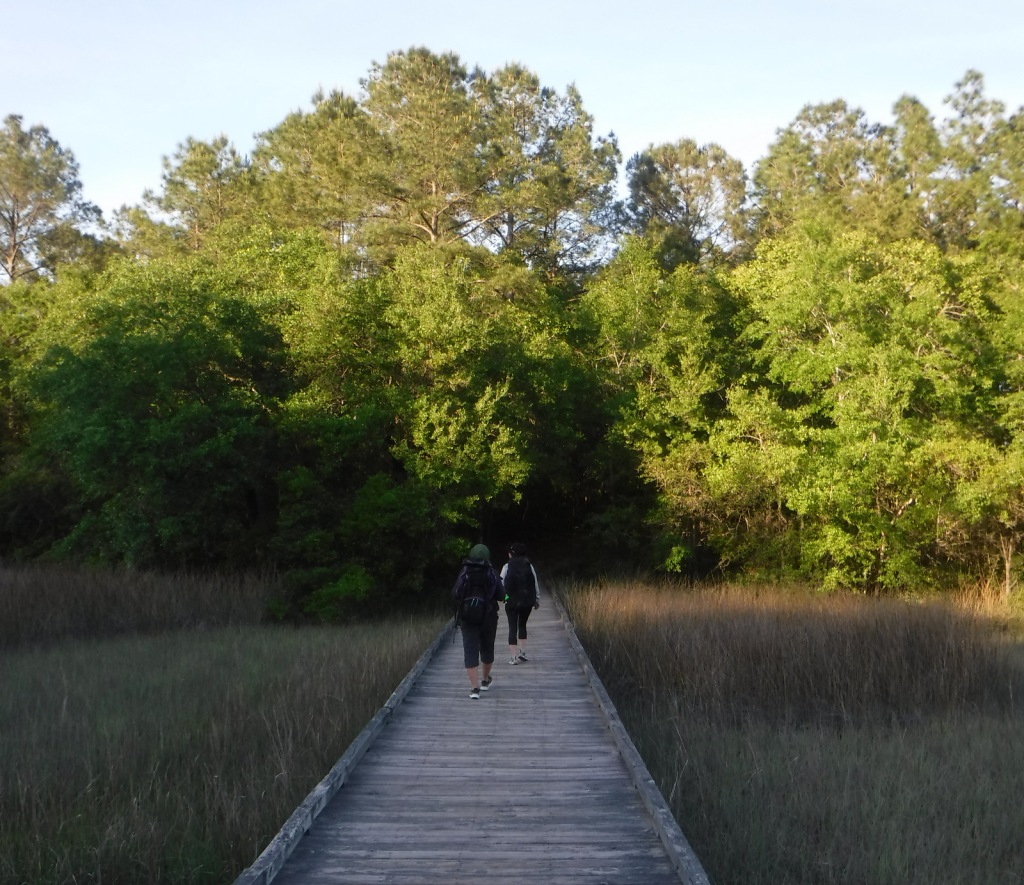
A free permit is required to backpack the Palmetto Trail on its 47-mile stretch through Francis Marion National Forest.  The easternmost seven miles of this statewide trail was opened in 2003 running from the Swamp Fox Trailhead to Buck Hall Recreation Area (fee) on the Intracoastal Waterway bordering Cape Romain National Wildlife Refuge.  Both trailheads are easily accessible from Highway 17.  This sandy section of the Palmetto Trail is known as the Awendaw Passage because it follows Awendaw Creek for most of its length.  There are bridges and boardwalks built over the wettest areas, but very few good places to set up a campsite due to the density of the forest understory. 

Watchable Wildlife

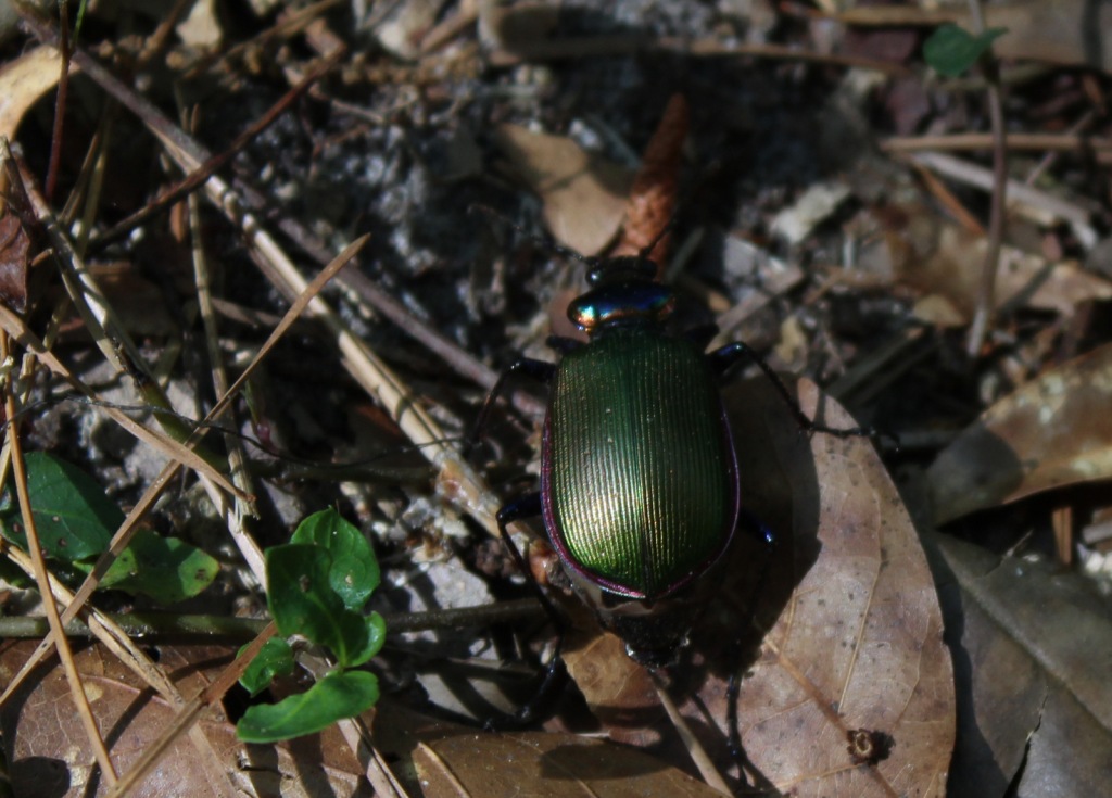
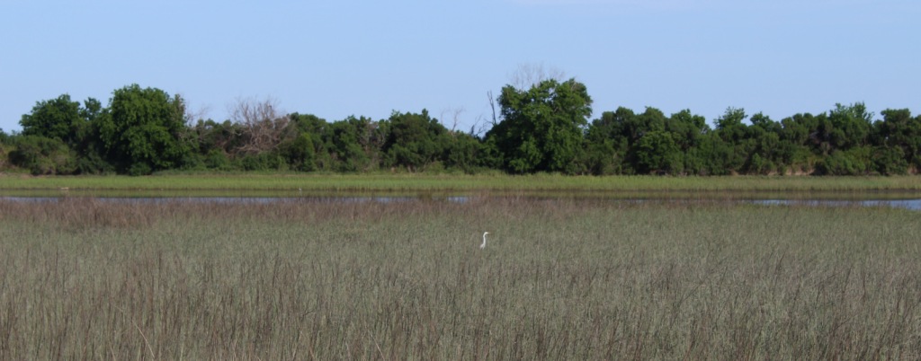
We saw a variety of wildlife in Francis Marion National Forest, including coastal species you do not find in any other National Forest, like crabs and mussels.  The salt marshes provide habitat for large birds like Mississippi kites, ospreys, little blue herons, and great egrets.  We spotted red-headed woodpeckers and pileated woodpeckers, and there are also endangered red-cockaded woodpeckers.  While backpack camping, we saw fireflies, bats, fox squirrels, and a seldom-seen whippoorwill, a bird known for its distinctive, repetitive calls at night.  In Awendaw Creek, we saw a muskrat and four-foot-long rat snake, but did not find any alligators or river otters. 

Instagram-worthy Photo

Battery Warren was built by slaves during the Civil War so soldiers could defend the railroad bridge across the Santee River.  The earth embankments are still visible at the end of a short trail maintained by the U.S. Forest Service.

Peak Season

Spring

Fees

There is a fee to park and launch a boat at Buck Hall Recreation Area.  A free permit (available online) is required to backpack camp on the Palmetto Trail in Francis Marion National Forest.

Road Conditions

The main roads cutting through the National Forest are paved, and even the unpaved roads we drove were flat, packed sand.

Camping

Buck Hall Campground is located at a boat launch on the Intracoastal Waterway, while scenic Edmund Campground has Spanish moss-draped trees near the northern end of Wambaw Creek Wilderness.  Huger Campground and Halfway Campground are located along the Palmetto Trail.  Extensive wetlands and thick woodlands make dispersed camping and backpacking difficult in Francis Marion National Forest.

Wilderness Areas

Hell Hole Bay Wilderness

Little Wambaw Swamp Wilderness

Wambaw Creek Wilderness

Wambaw Swamp Wilderness

Related Sites

Fort Sumter and Fort Moultrie National Historical Park (South Carolina)

Reconstruction Era National Historical Park (South Carolina)

Charles Pinckney National Historic Site (South Carolina)

Croatan National Forest (North Carolina)

Nearest National Park

Congaree

Conifer Tree Species

baldcypress, longleaf pine, shortleaf pine, loblolly pine

Flowering Tree Species

tulip-poplar, sweetgum, American holly, yaupon holly, live oak,  overcup oak, water oak, cherrybark oak, willow oak, southern red oak, white oak, American beech, green ash, red bay, red buckeye, swamp cottonwood, water tupelo, water locust, water hickory, bitternut hickory, sweet bay magnolia, Carolina willow, titi, southern bayberry

Explore More – What was Francis Marion’s nickname earned by employing guerilla tactics against the British during the American Revolutionary War?

Learn more about this and the 154 other National Forests in our new guidebook Out in the Woods

We are a participant in the Amazon Services LLC Associates Program, an affiliate advertising program designed to provide a means for us to earn fees by linking to Amazon.com and affiliated sites.

Home of Franklin D. Roosevelt National Historic Site

Home of Franklin D. Roosevelt National Historic Site

New York

Managed by National Park Service

Established 1944

645 acres

Website: nps.gov/hofr

Overview

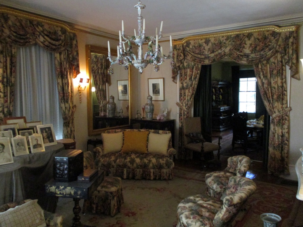
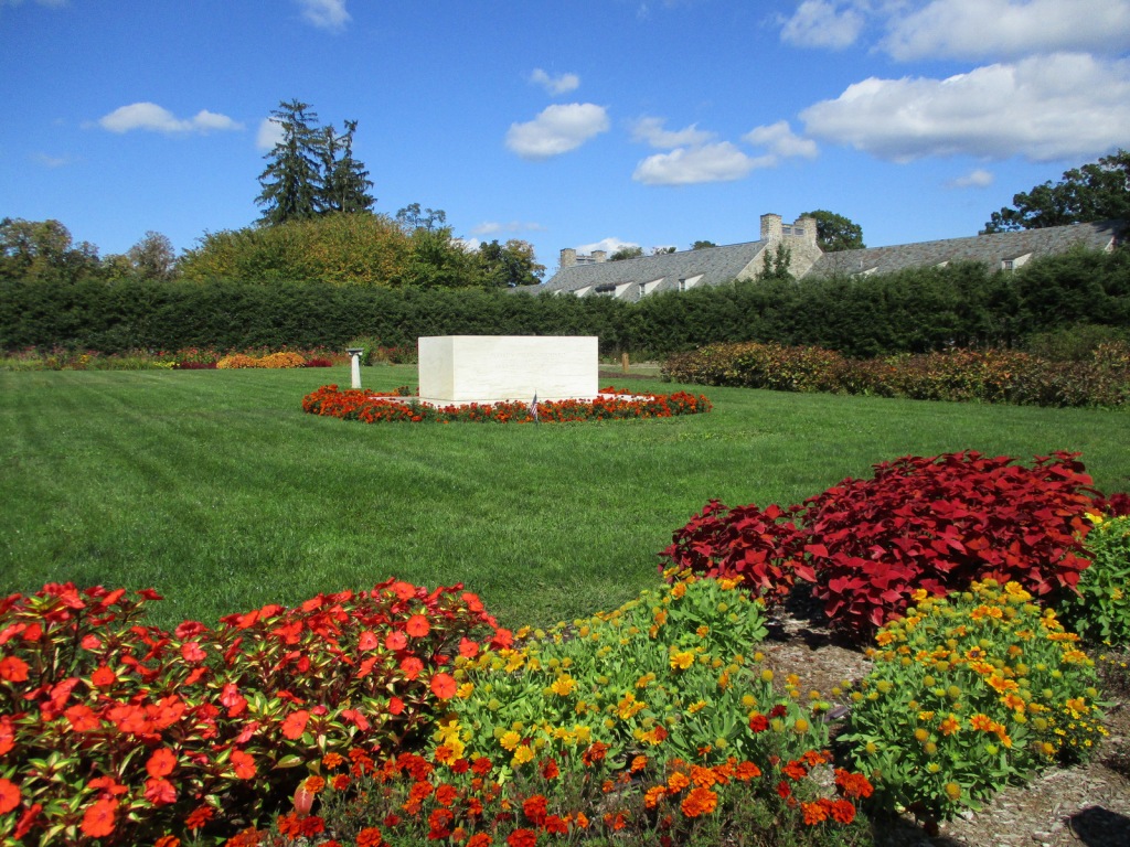
In 1882, Franklin Delano Roosevelt (FDR) was born at Springwood, his family’s estate on the Hudson River in Hyde Park, New York.  In 1905, FDR married his distant cousin Eleanor and moved into the mansion with his mother.  FDR contracted polio in 1921 and was paralyzed from the waist down, so some changes were made to Springwood to make it more wheelchair accessible.  After FDR became President, noteworthy visitors to the house included England’s King George VI and Winston Churchill.  FDR was buried on the property in 1945 and Eleanor in 1962, in the rose garden alongside Fala, their famous Scottish terrier.  Exactly one year after his death, the mansion opened to the public.

Highlights

Springwood, FDR Presidential Library and Museum, Top Cottage, Hyde Park Trail

Must-Do Activity

Start your visit at the Henry A. Wallace Visitor and Education Center where you can purchase tickets for the tour inside the mansion (reservations recommended), the 22-minute film A Rendezvous With History, the Presidential Library and Museum (not managed by the National Park Service), and Top Cottage, which is located behind the nearby Eleanor Roosevelt National Historic Site.  Tours meet inside the visitor center then walk a quarter-mile to the mansion.  Top Cottage was built in 1938 and is only accessible on a guided tour in the summer, which a park ranger discouraged us from going on saying it was mostly a seminar-style discussion of world politics (Top Cottage tours were closed through at least 2022). 

Best Trail

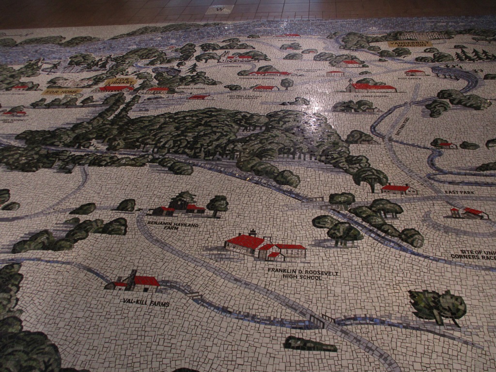
Hyde Park Trail connects Vanderbilt Mansion National Historic Site with Home of Franklin D. Roosevelt National Historic Site following the Hudson River.  The trail then heads two miles east towards Eleanor Roosevelt National Historic Site and Top Cottage.

Instagram-worthy Photo

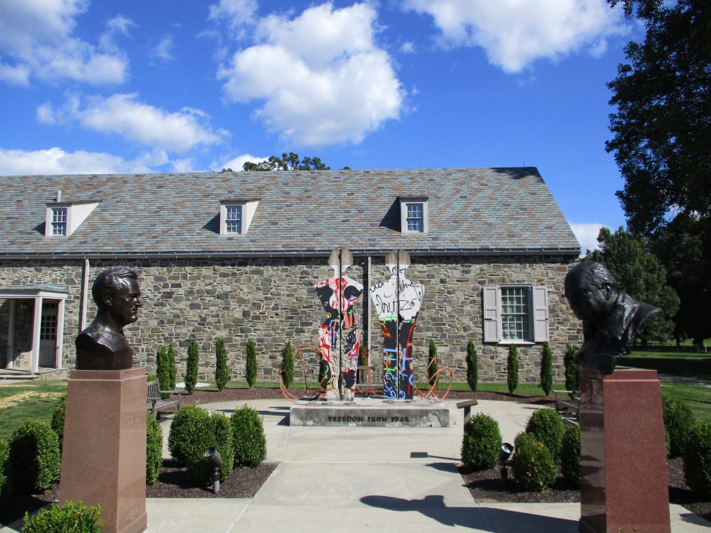
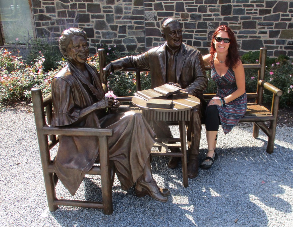
Freedom From Fear is a sculpture of a man and woman made from a section of the Berlin Wall, installed here in 1994 with a companion piece at the Winston Churchill Memorial in Fulton, Missouri.  Both were created by Edwina Sandys, Churchill’s granddaughter.

Peak Season

Summer

Hours

https://www.nps.gov/hofr/planyourvisit/hours.htm

Fees

$10 per person for mansion tour or free with America the Beautiful pass; $10 per person for Top Cottage tour with $5 off for America the Beautiful pass; separate entry fee for FDR Presidential Library and Museum

Road Conditions

All roads are paved with ample parking.

Camping

Mills-Norrie State Park has 45 campsites about five miles north of Hyde Park on Highway 9.

Related Sites

Franklin Delano Roosevelt Memorial (District of Columbia)

Eleanor Roosevelt National Historic Site (New York)

Martin Van Buren National Historic Site (New York)

Explore More – In what year was there an assassination attempt on FDR?

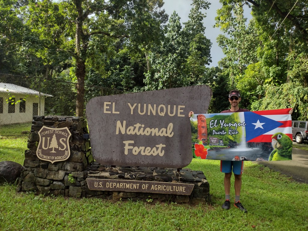
El Yunque National Forest

El Yunque National Forest

Puerto Rico (U.S. territory)

Managed by U.S. Forest Service, Southern Region

56,097 acres (28,434 federal/ 27,663 other)

Website: https://www.fs.usda.gov/elyunque

Overview

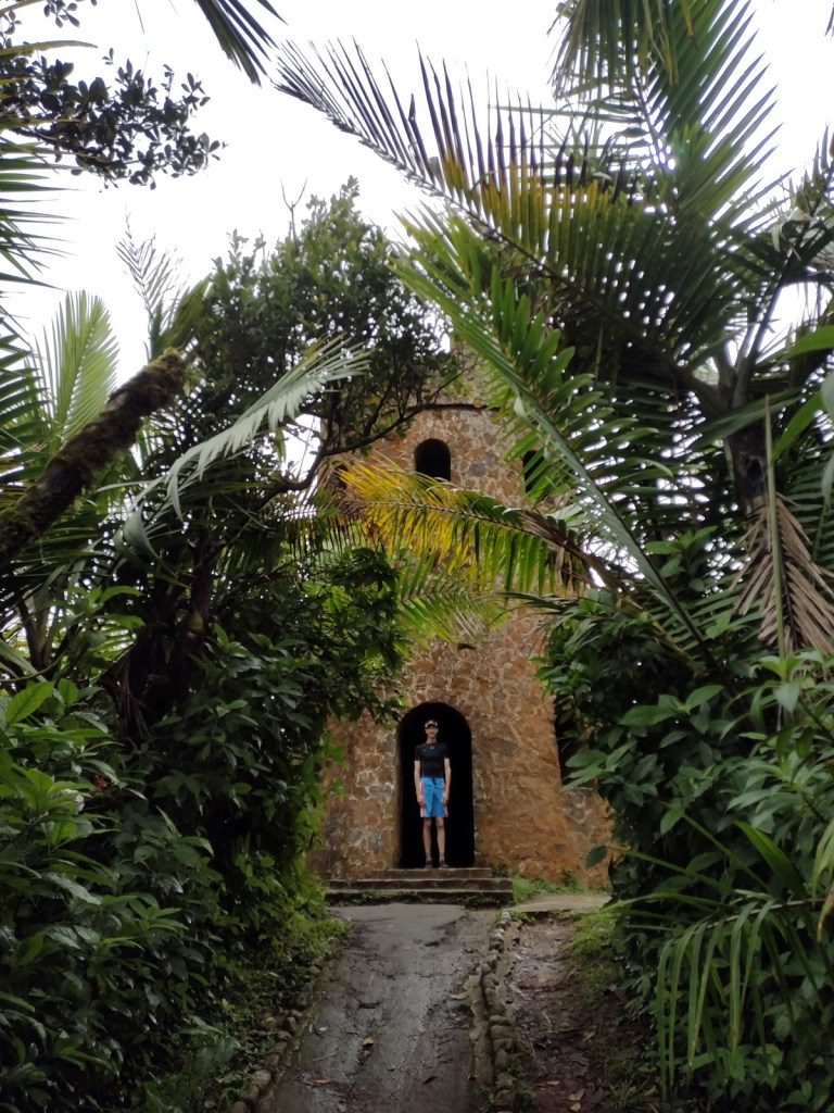
Also called Bosque Nacional El Yunque, this forest was known as the Caribbean National Forest from 1935 until 2007 when it was renamed for a 3,496-foot peak.  It is the only tropical rainforest and the oldest protected forest in the U.S. Forest Service system, originally set aside in 1876 by King Alfonso XII of Spain.  Puerto Rico is still recovering from Hurricane Maria that struck September 20, 2017, and the Forest Service’s El Portal Rainforest Visitor Center remains closed while under reconstruction.

Highlights

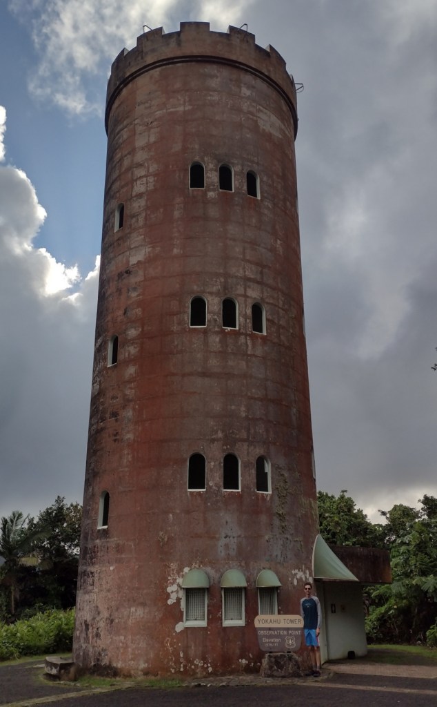
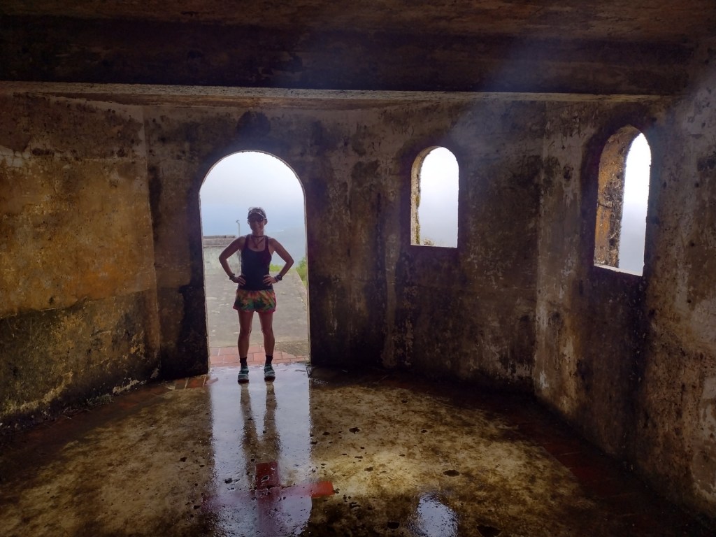
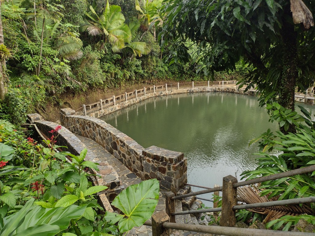
El Portal Rainforest Visitor Center, La Coca Falls, Juan Diego Creek, Yokahú Observation Tower, Baño de Oro, Mt. Britton, El Yunque Trail, El Toro National Recreation Trail

Must-Do Activity

Unlike other national forests, El Yunque is a major tourist destination in Puerto Rico with buses bringing cruise ship passengers up the Sierra de Luquillo Mountains less than an hour’s drive from the capital of San Juan.  They all stop at La Coca Falls and Yokahu Observation Tower, but fewer visitors hike to the top of 3,496-foot El Yunque or Mt. Britton.  Enough people visit that the Forest Service instituted an online reservation system (fee required) similar to the one at Rocky Mountain National Park.

Best Trail

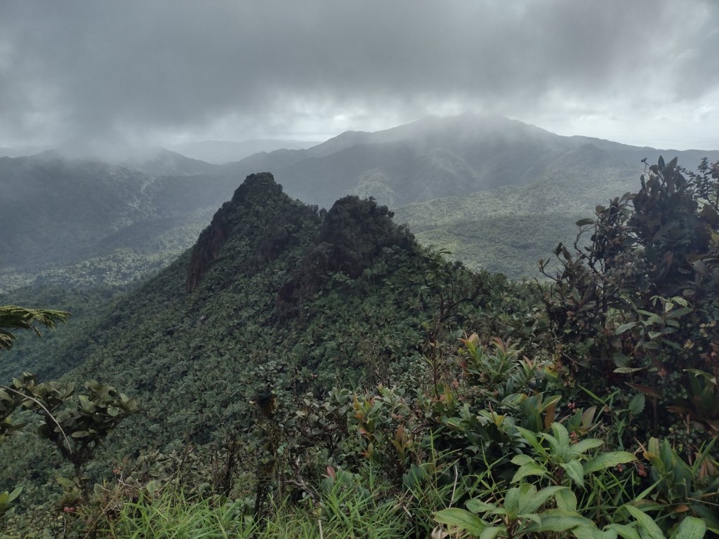
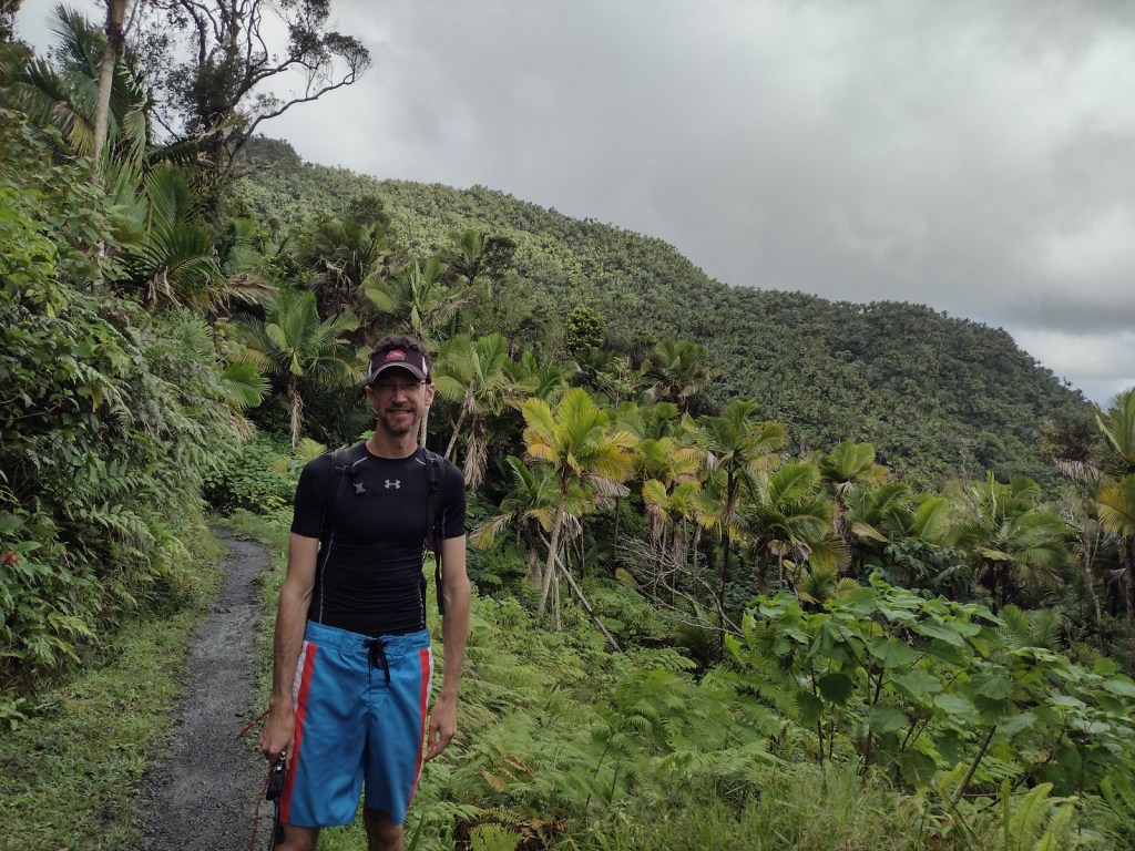
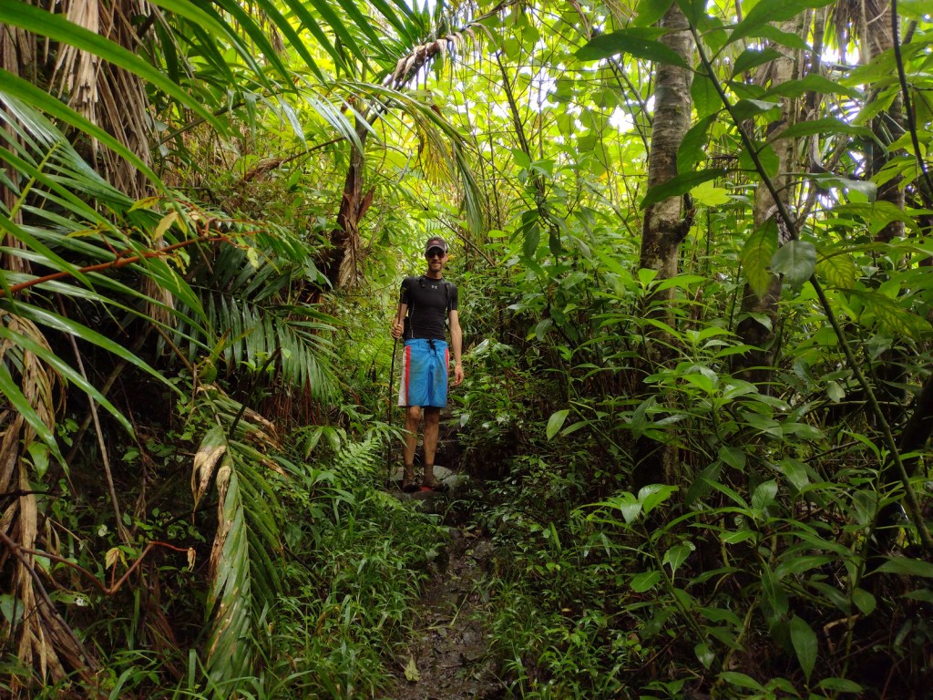
Every step squished and our feet often disappeared in ankle-deep, orange-brown mud on the five-mile out-and-back El Toro National Recreation Trail.  Glad to have walking sticks, we stepped carefully as we slowly approached the summit of the 3,526-foot mountain.  Average annual precipitation in these “cloud forests” is 150 to 240 inches and poor water runoff from the volcanic soils results in boggy, acidic conditions.  In 2005, the 10,000-acre El Toro Wilderness became the first Wilderness designation in a U.S. territory.

Watchable Wildlife

Bird watching is the main attraction, and we spotted a Puerto Rican tody, elfin woods warbler, broad-winged hawk, red-tailed hawk, and many zenaida doves.  We never saw one, but when the sun set or it rained we enjoyed listening to the coquis, small tree frogs whose name is onomatopoeia for their call.  There are 17 species of coqui in Puerto Rico (11 of them endemic) but only the forest and common coquis emit their namesake sound.  Rather than going through a tadpole phase, all coqui emerge as miniature froglets after incubation.  Even though this is a tropical rainforest, there are no poisonous snakes on the island, but the endangered Puerto Rican boa can grow up to eight feet in length.  Another endangered species, the Puerto Rican parrot may only survive in captivity after Hurricane Maria.

Instagram-worthy Photo

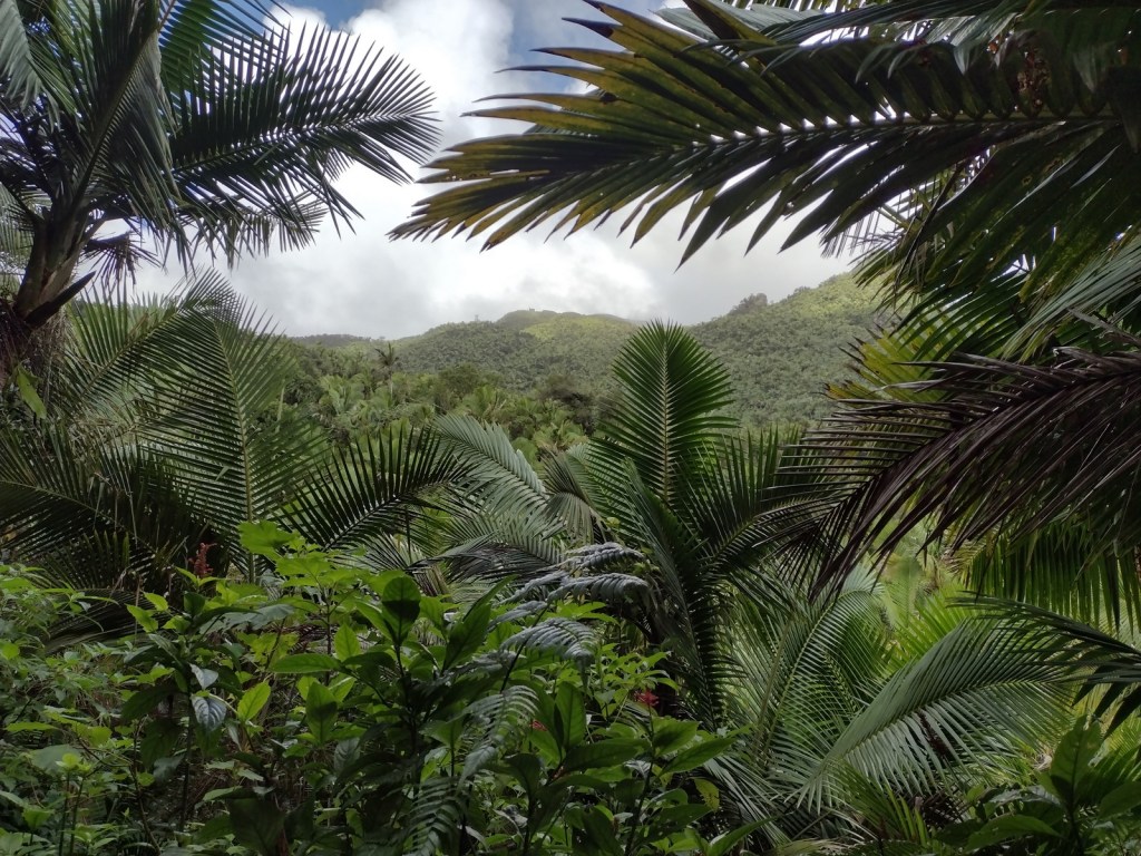
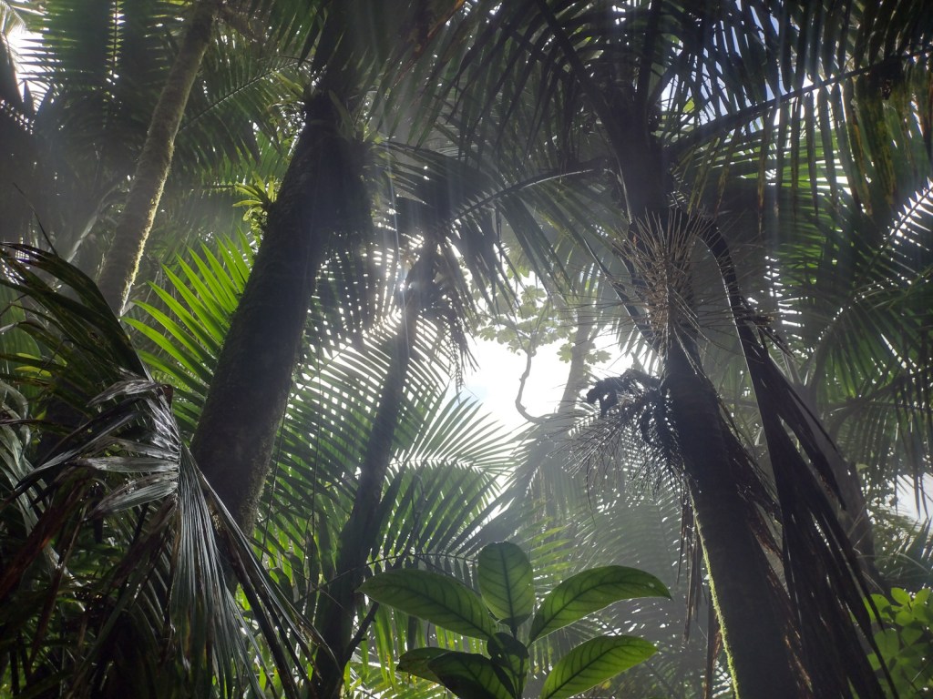
There are at least 15 species of tree ferns that grow in El Yunque National Forest, but we were most impressed by the giant leaves of yagrumo hembra (umbrellatree).

Peak Season

Year round

Fees

Online reservations ($2 fee) required for the Highway 191 corridor

Road Conditions

Highway 191 is well maintained, although winding and narrow in places.  Access to El Toro Trailhead can be either very rough (from the east we needed a Jeep) or very smooth (from the west) depending on which part of Highway 186 you drive.

Camping

There are no campgrounds and it seemed impossible to find a place to set up a backpacking tent in the dense tropical rainforest.  We stayed at an Airbnb in the town of Luquillo, not far from the entrance to El Yunque National Forest.

Wilderness Areas

El Toro Wilderness

Related Sites

San Juan National Historic Site (Puerto Rico)

Virgin Islands Coral Reef National Monument (U.S. Virgin Islands)

Salt River Bay National Historical Park and Ecological Preserve (U.S. Virgin Islands)

Nearest National Park

Virgin Islands

Conifer Tree Species

None

Flowering Tree Species

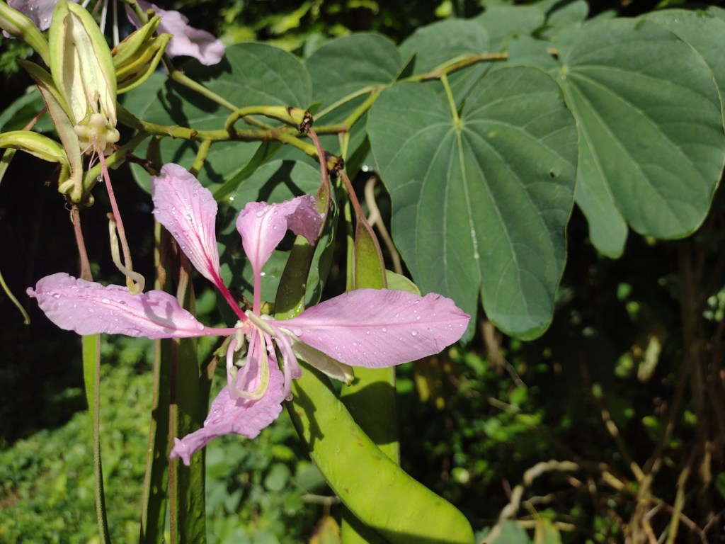
yagrumo hembra (umbrellatree), tabonuco, ausubo, gumbo-limbo, flamboyant (African flame tree), palo colorado (titi), teak, caoba (mahogany), nemoca, roble de sierra, limoncillo, camasey, sierra palm, guayabota

Explore More – What is another name for the cloud forests where strong trade winds above 2,500 feet keep trees pruned to less than 12 feet tall?
Learn more about this and the 154 other National Forests in our new guidebook Out in the Woods

We are a participant in the Amazon Services LLC Associates Program, an affiliate advertising program designed to provide a means for us to earn fees by linking to Amazon.com and affiliated sites.