Coconino National Forest
Arizona
Managed by U.S. Forest Service, Southwestern Region
2,013,804 acres (1,855,955 federal/ 157,849 other)
Website: https://www.fs.usda.gov/coconino/
Overview
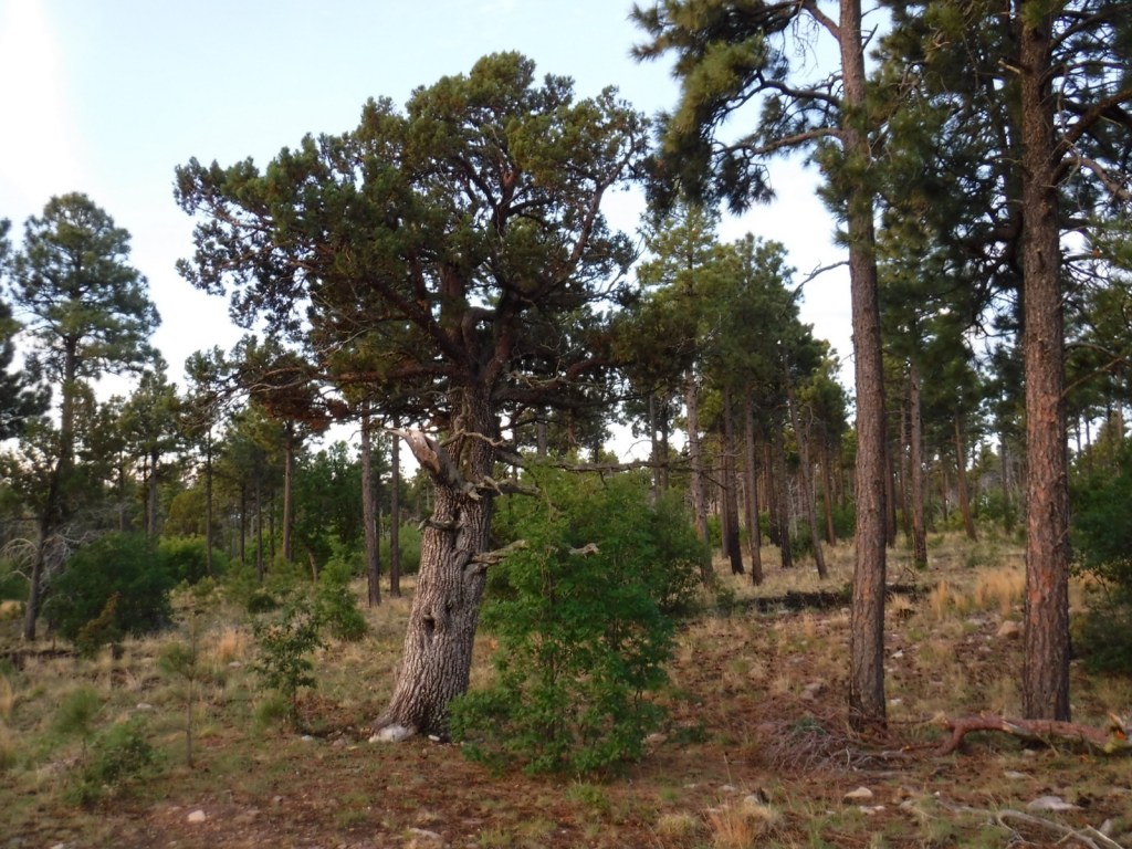
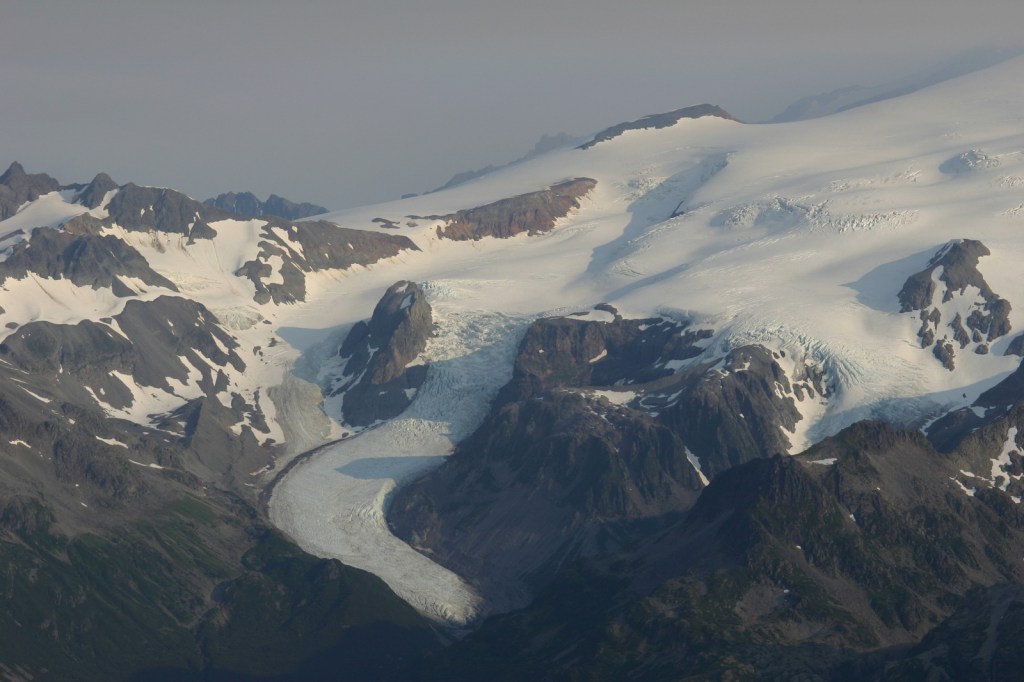
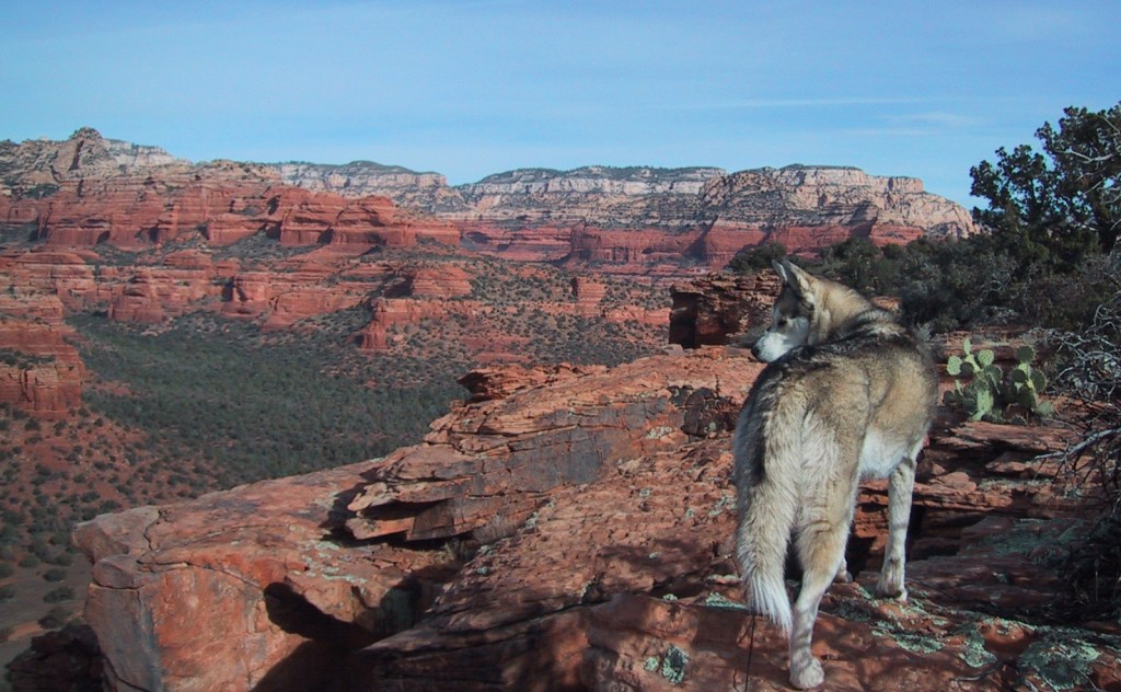
Coconino National Forest has an elevation range of 10,000 feet from the Verde River up to 12,637-foot Mt. Humphreys, the highest point in Arizona. It borders four other National Forests: Kaibab, Prescott, Sitgreaves, and Tonto. The National Forest encompasses two busy recreational areas: the red rocks around Sedona and the San Francisco Peaks north of Flagstaff. While in college for three years at Northern Arizona University, Scott probably hiked 100 different trails and more than 1,000 miles through Coconino National Forest. He and his Siberian husky would often wake up early to get a hike in before class, including one moonlit summiting of Mt. Humphreys completed in time for an 8 a.m. lecture. See where it ended up on our list of Top 10 Summit Trails in National Forests.
Know someone who loves the National Forests? Gift them our travel guidebook Out in the Woods so they can learn more about all 155 National Forests.
Highlights
Oak Creek Canyon, Bell Rock, Vultee Arch, Cathedral Rock, Sycamore Canyon, Honanki Ruins, Wet Beaver Creek, San Francisco Peaks, Mt. Humphreys, Lockett Meadow, Mt. Elden, West Clear Creek, Upper Lake Mary, West Fork Trail, Kachina Trail, Bear Jaw Canyon Trail, Dixon Lewis Trail
Must-Do Activity
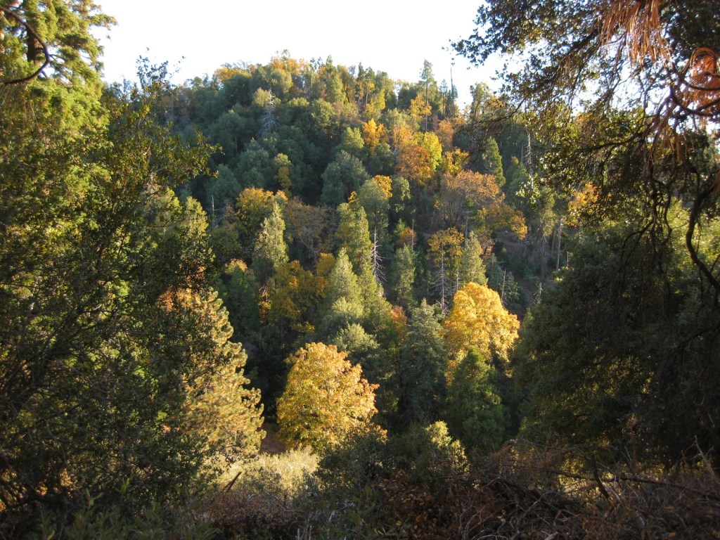
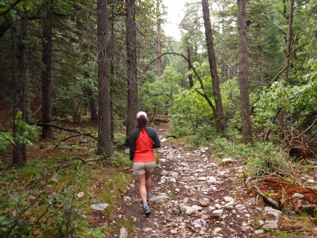
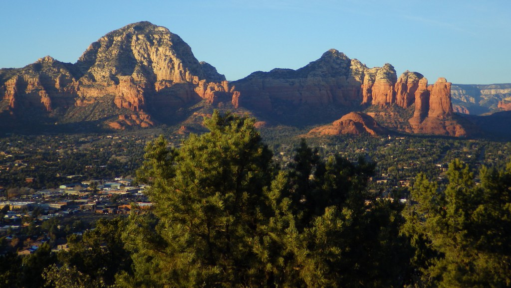
North of Sedona is the deep, shady Oak Creek Canyon that houses a diversity of plant species, including riparian trees like sycamore and walnut. The steep, forested walls make for beautiful scenery, but also create ideal conditions for crown fires as evidenced in 2006 and 2014. The steep Wilson Mountain South Trail #10 provides extraordinary panoramas and the shady West Fork Trail #108 is perfect on hot summer days, though in the winter it is also beautiful covered in snow and ice. The remains of the historic lodge and orchard at the latter site provide a glimpse into the past of a place immortalized in Zane Grey’s novel The Call of the Canyon. Continue driving north up Highway 89A for unforgettable hairpin turns that lead to Oak Creek Vista and on to Flagstaff.
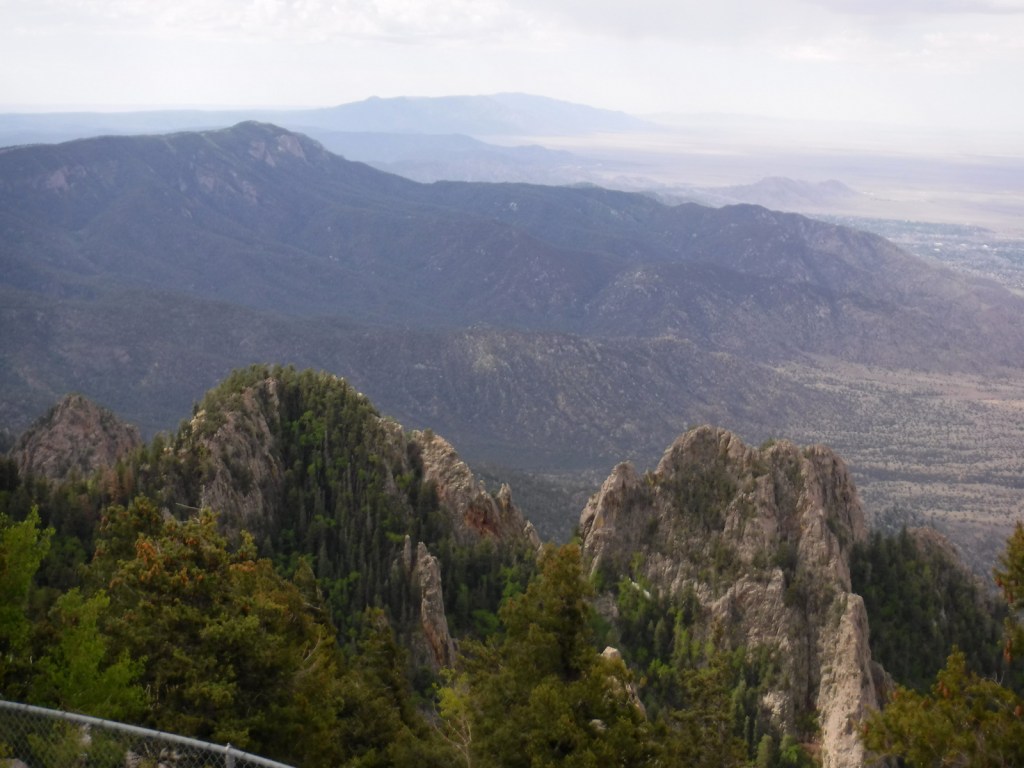
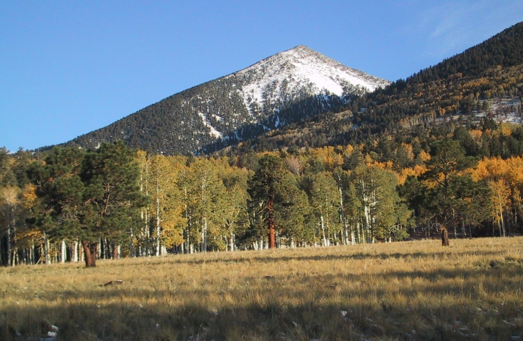
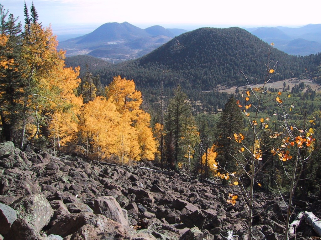
Best Trail
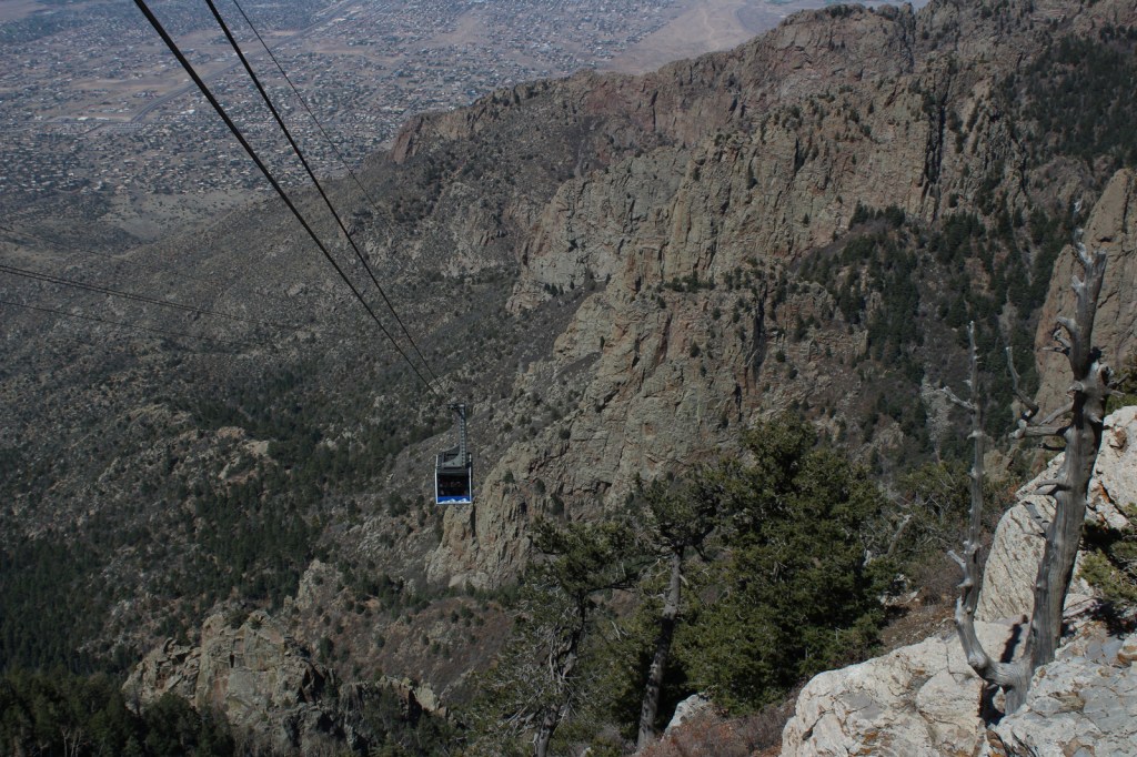
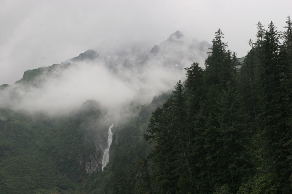
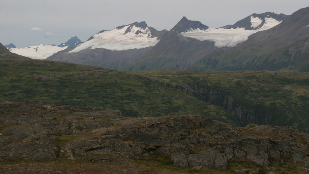
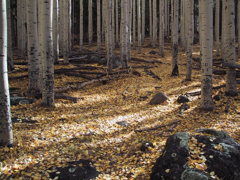
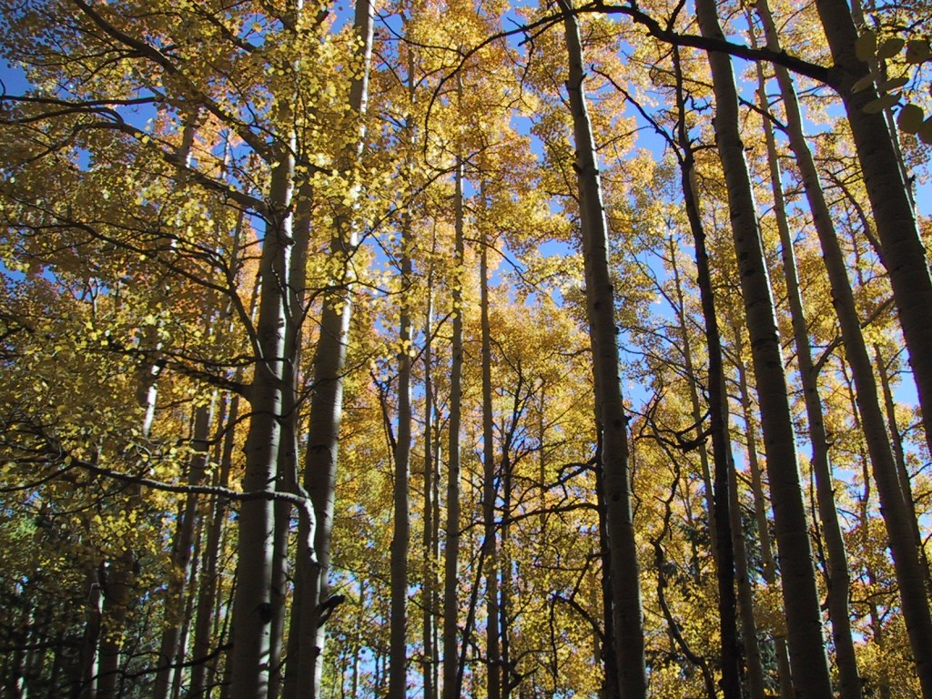
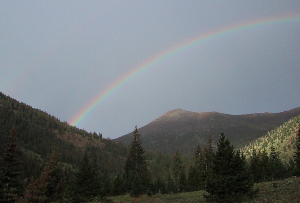
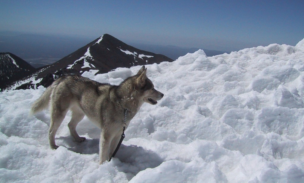
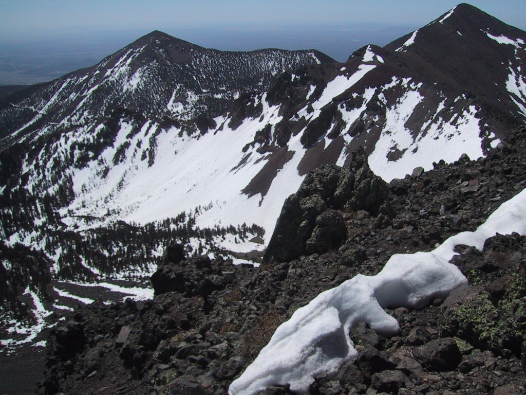
The San Francisco Peaks are the remains of an extinct volcano that forms the dramatic mountain skyline north of Flagstaff. You cannot actually see the highest summit (12,637-foot Mt. Humphreys) from town, but you will if you drive Highway 180 toward Grand Canyon National Park. The shortest route to the top leaves from 8,800 feet at Arizona Snowbowl Ski Resort and is nine miles roundtrip. For the more adventurous: start on the Inner Basin Trail from Lockett Meadow (now requires three-mile hike on closed road), hike 19 miles roundtrip via the Weatherford Trail, or tack on seven miles to Snowbowl on the scenic Kachina Trail. The San Francisco Peaks are beautiful (especially when aspen trees turn in the fall), but can be dangerous during thunderstorms that occur almost every afternoon during monsoon season. Nostalgia may have been a factor in naming this #1 on the list of Top 10 National Forests for Day Hiking.
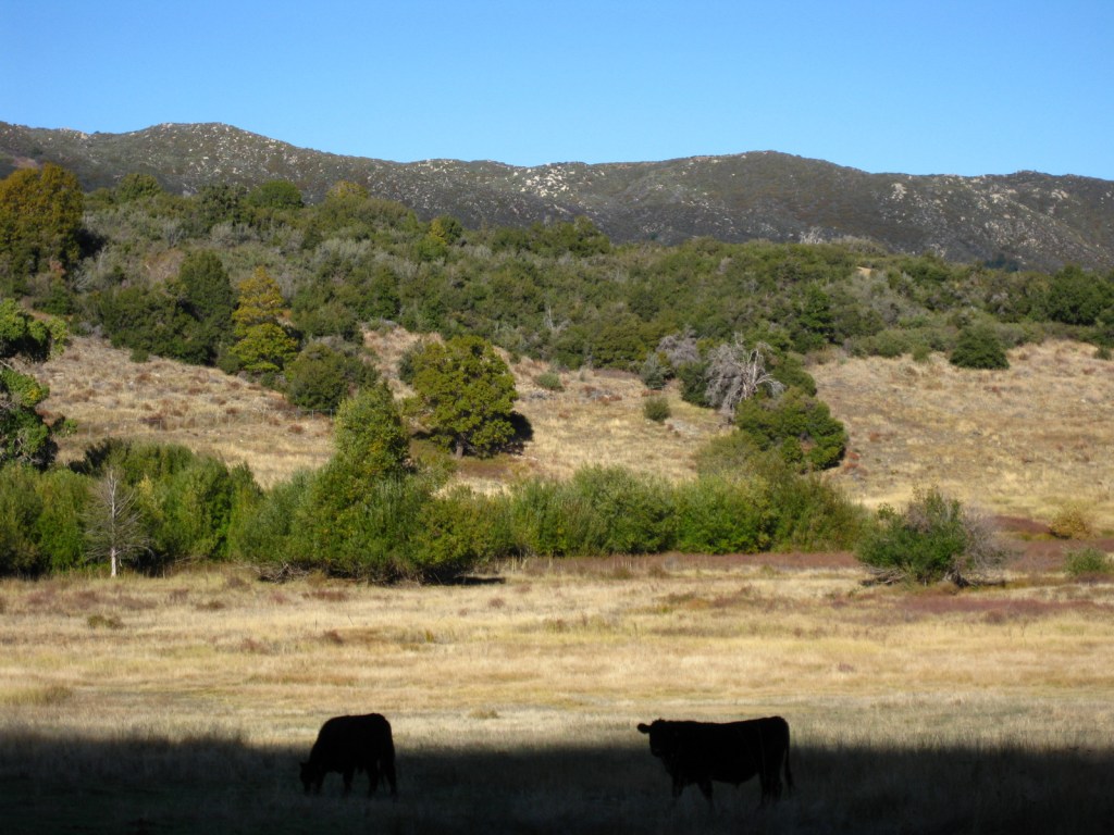
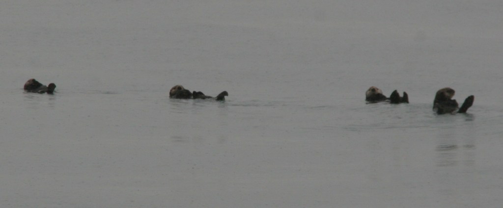
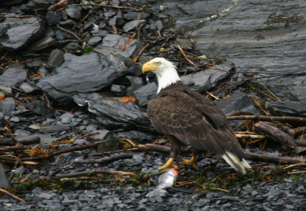
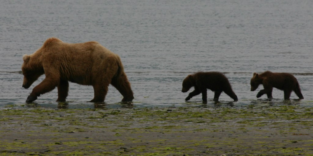
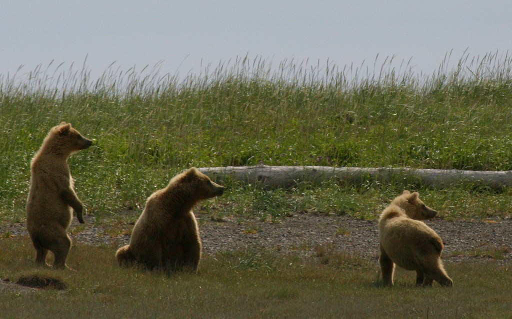
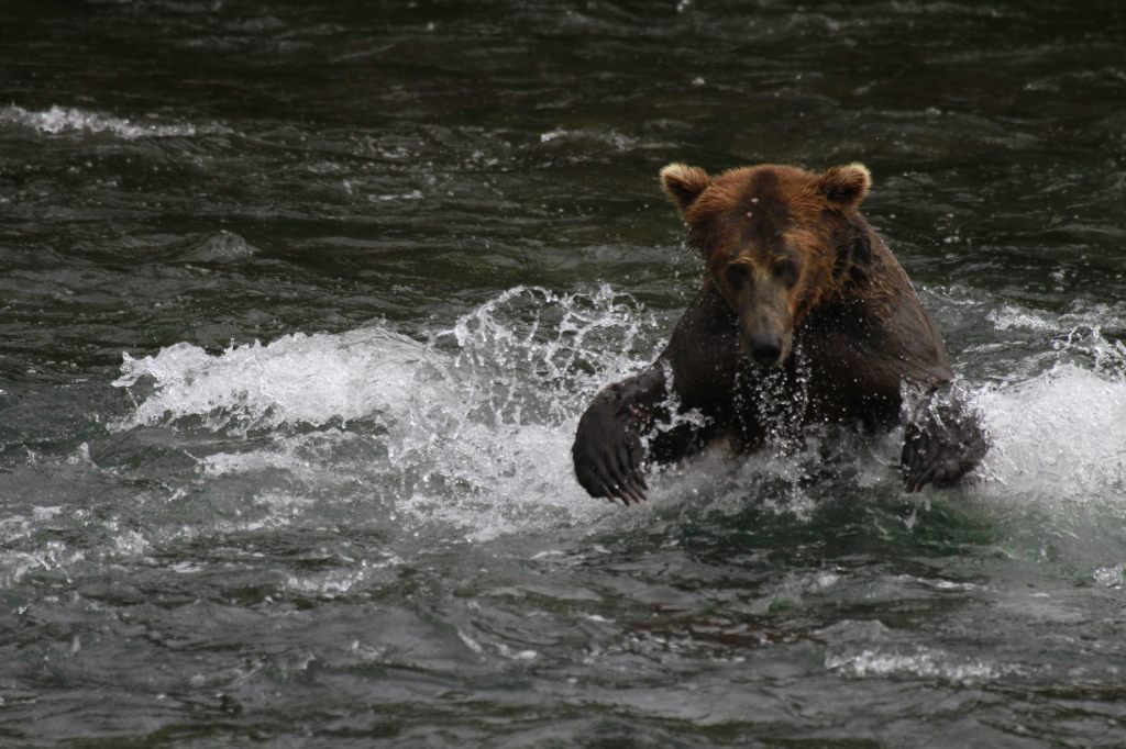
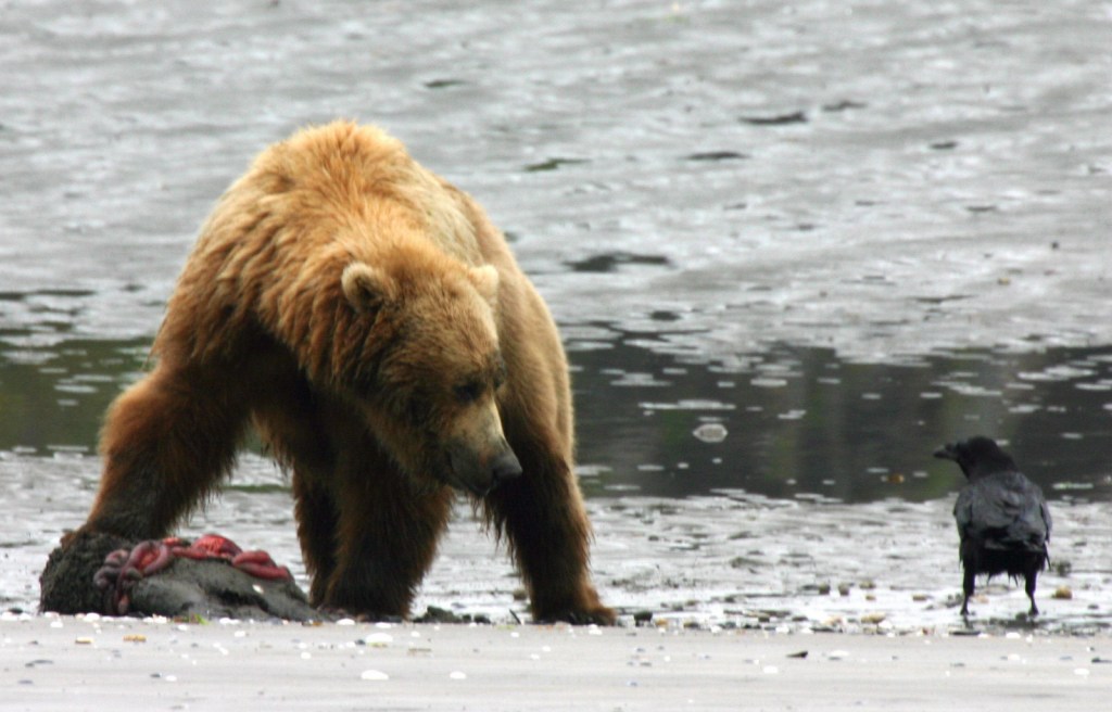
Watchable Wildlife
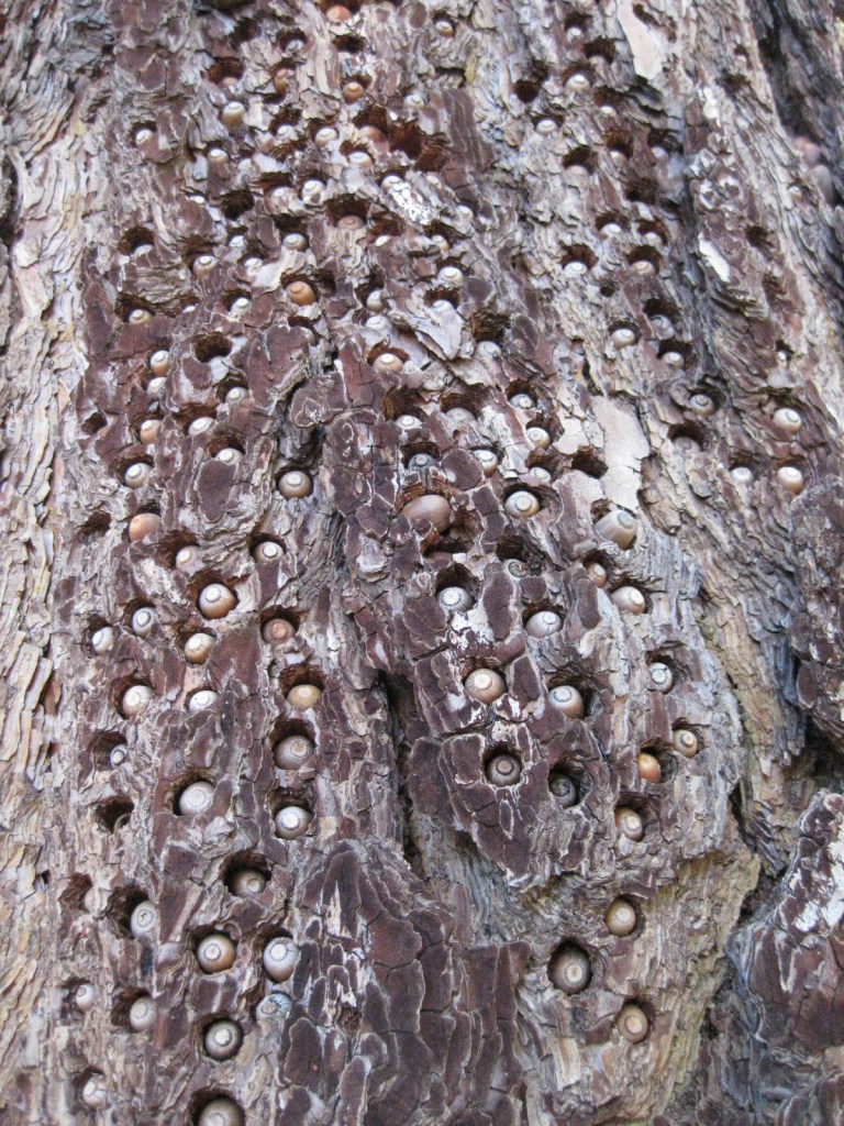
Elk are the most prevalent charismatic megafauna in Coconino National Forest, although mule deer and pronghorns are also common. We have encountered black bears in the San Francisco Peaks and rattlesnakes in Sycamore Canyon. Tassel-eared squirrels are the noisiest residents of the ponderosa pine forests, enough so that Bertie the talking squirrel became the main character in the children’s book Scott illustrated while working for the Ecological Restoration Institute at Northern Arizona University.
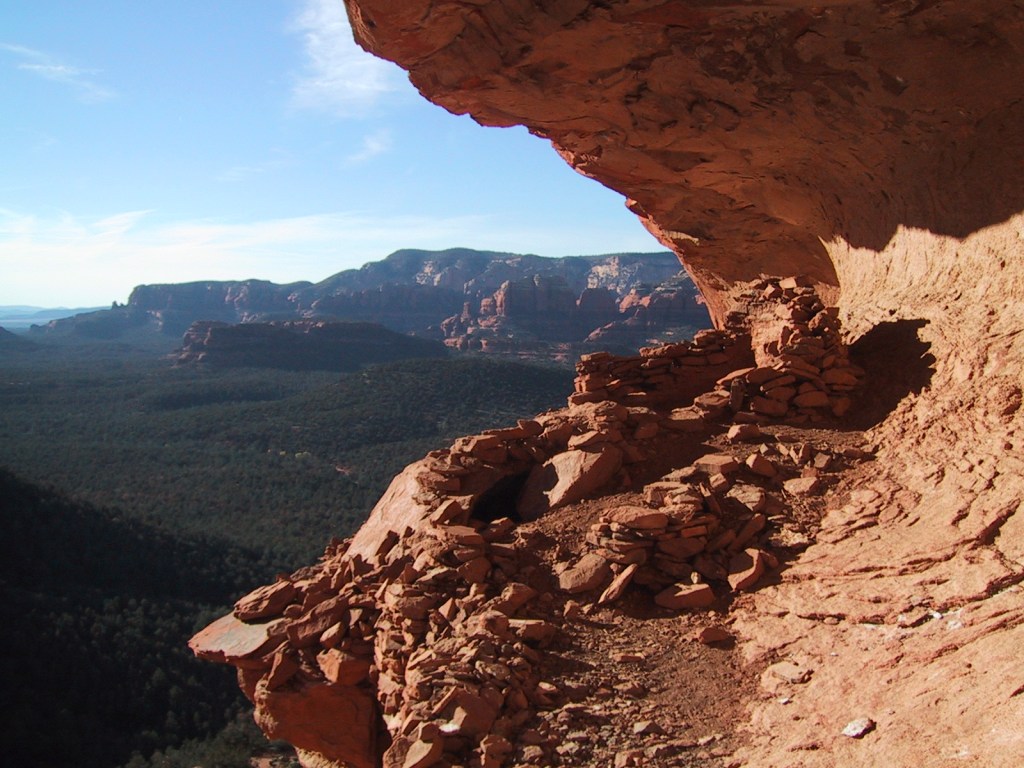
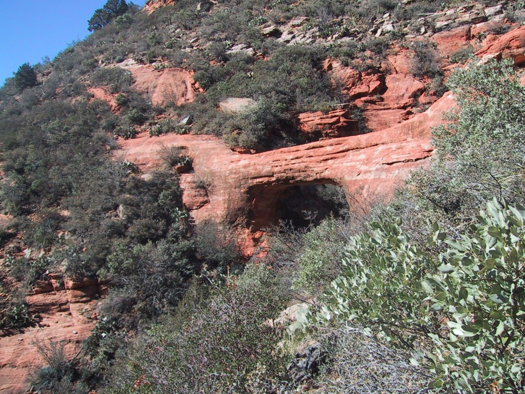
Instagram-worthy Photo
The cliff dwelling in Sedona’s Lost Canyon is in a beautiful spot overlooking a wide green valley that cuts between the red rock buttes and escarpments. There is water in this narrow canyon, feeding the tall Arizona cypress trees below. Just outside the cave, juniper trees offered firewood, pinyon pine produced edible nuts, and yucca plants provided thread for its former residents. To the north numerous canyons drain the ponderosa pine forests where elk and mule deer reside in the summer.
Peak Season
Summer
Fees
A day-use fee applies at nearly every trailhead in Sedona, but an America the Beautiful pass can be substituted. A $6 online reservation per vehicle is required to park at Dixon Lewis (formerly Waterfall) Trail to Fossil Creek from April 1 to October 1.
Road Conditions
Most of the dirt roads through Coconino National Forest are well maintained, especially around Sedona. One exception to that is Woody Mountain Road that requires high-clearance once you get past the first 20 miles or so towards the Mogollon Rim above Sycamore Canyon.
Camping
Lockett Meadow Campground is special place that came in at #4 on our Top 10 Campgrounds in National Forests list. However, camping there now requires a three-mile hike up the road since it closed following the Pipeline Fire (which does mean you are more likely to get a campsite). The coveted campsites in Oak Creek Canyon on scenic Highway 89A are full throughout the summer and fall (online reservations available).
Wilderness Areas
Fossil Springs Wilderness
Kachina Peaks Wilderness
Kendrick Mountain Wilderness (also in Kaibab National Forest)
Mazatzal Wilderness (also in Tonto National Forest)
Munds Mountain Wilderness
Red Rock-Secret Mountain Wilderness
Strawberry Crater Wilderness
Sycamore Canyon Wilderness (also in Prescott and Kaibab National Forests)
West Clear Creek Wilderness
Wet Beaver Wilderness
Related Sites
Sunset Crater Volcano National Monument (Arizona)
Montezuma Castle National Monument (Arizona)
Walnut Canyon National Monument (Arizona)
Nearest National Park


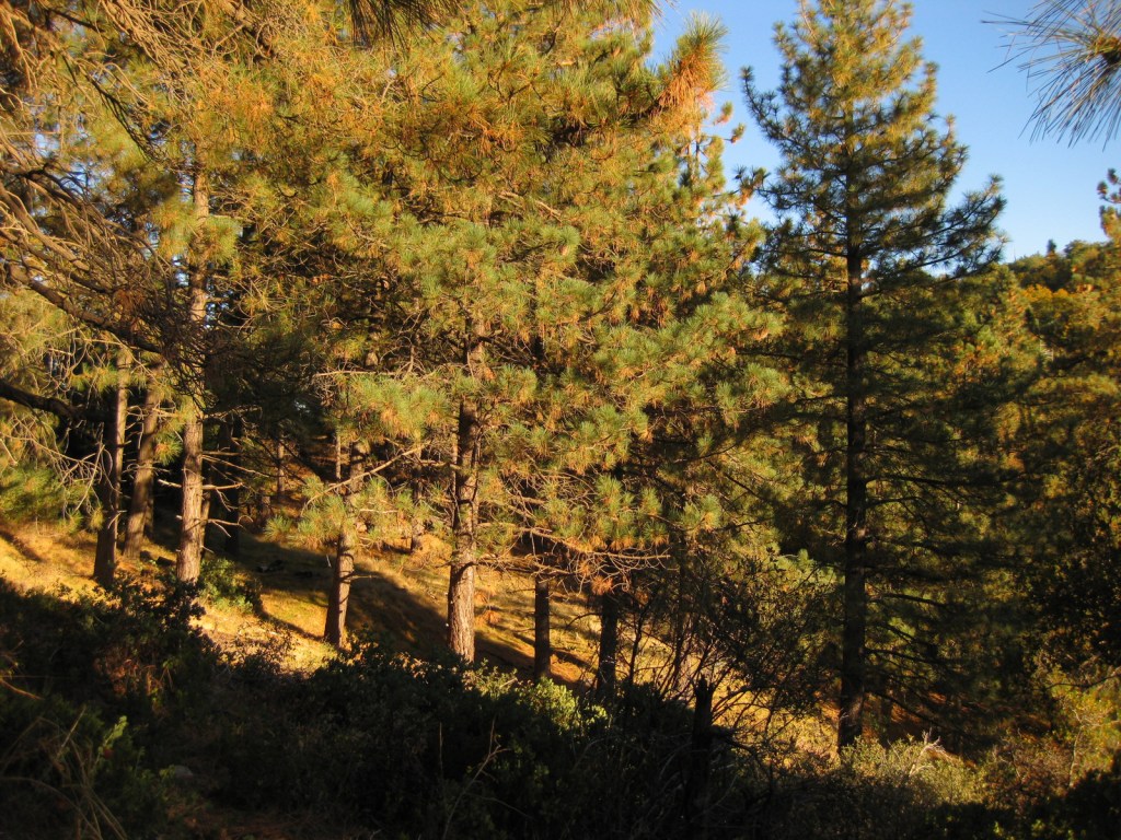
ponderosa pine, limber pine, Rocky Mountain bristlecone pine, two-needle pinyon pine, Douglas-fir, subalpine fir, white fir, Engelmann spruce, alligator juniper, one-seed juniper, Utah juniper, Rocky Mountain juniper, Arizona cypress
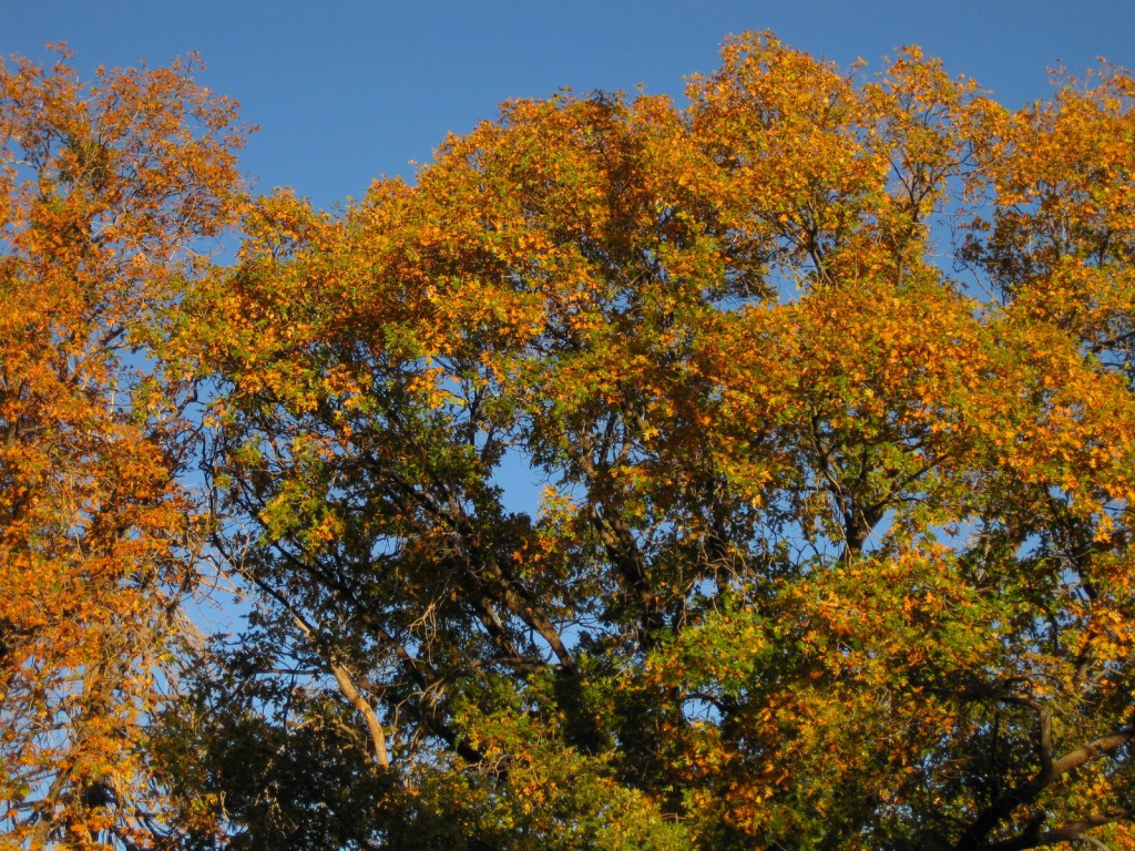
Gambel oak, quaking aspen, New Mexico locust, boxelder, bigtooth maple, Arizona sycamore, Arizona walnut, Arizona alder, velvet ash
Explore More – What is largest natural lake in the state of Arizona, which is found atop Coconino National Forest’s Anderson Mesa (although it is often dried up in the summer)?


Learn more about this and the 154 other National Forests in our travel guidebook Out in the Woods