Tag Archives: memorial

Fremont National Forest

Fremont National Forest

Oregon

Managed by U.S. Forest Service, Pacific Northwest Region

1,713,891 acres (1,207,039 federal/ 506,852 other)

Website: https://www.fs.usda.gov/fremont-winema

Overview

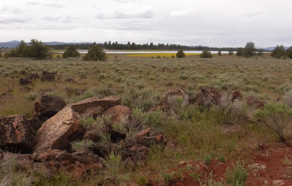
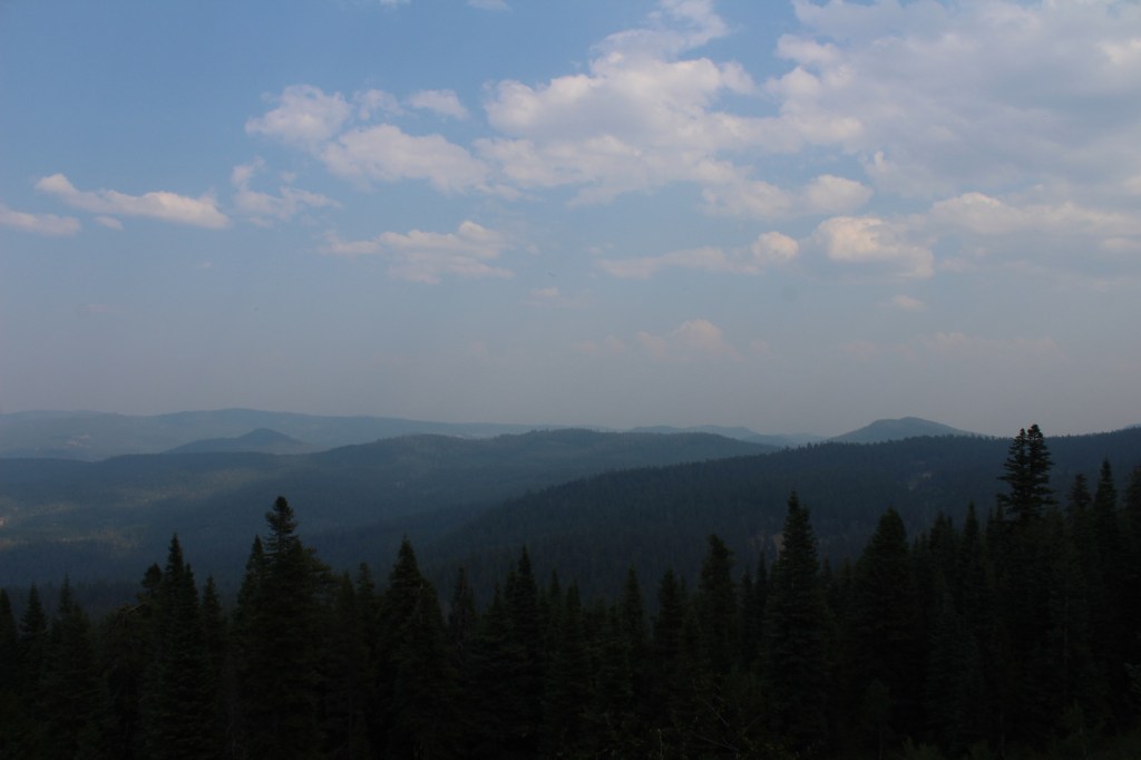
In central Oregon, the sagebrush-dominated high desert is also known as the Oregon Outback because of its rural resemblance to the arid Australian bush.  Fremont National Forest encompasses the wooded mountains that rise to the west above Lake Abert and Summer Lake in the Warner Valley, an important wetland area for wildlife.  In addition, a separate section located to the southeast covers the Warner Mountains and Abert Rim.  The cliffs of Hadley Butte are popular with hang gliders.  The Mitchell Monument honors the six American civilians who lost their lives during World War II when a Japanese balloon bomb exploded after traveling 6,000 miles. 
Highlights

Oregon Outback Scenic Byway, Goodlow Mountain Natural Area, Drake Peak Lookout, North Warner Viewpoint, Abert Rim, Heart Lake, North Fork of Sprague National Wild and Scenic River, Mitchell Monument, Cottonwood Lake, Crane Mountain National Recreation Trail, Fremont National Recreation Trail, Gearhart Mountain Trail

Must-Do Activity

While it is not an official trail, the 4.6-mile out-and-back hike to Coleman Rim does have a good payoff with views of the Chewaucan River Valley.  It is reached by driving nine miles up paved Forest Road 3360 from Highway 140, then turning right for two miles on gravel Forest Road 024 to Shepard Camp Creek.  From there, you start hiking north to the head of Shepard Camp Meadow, while watching for black-tailed deer, sandhill cranes, and the numerous cattle that frequent this area.  At that point, the route starts to gain elevation as it turns east through a forest of ponderosa pine, Sierra white fir, and western white pine trees.  You will likely have to climb over a few downed trees as you navigate toward the rocky Coleman Rim that sits above 7,000 feet in elevation.

Best Trail

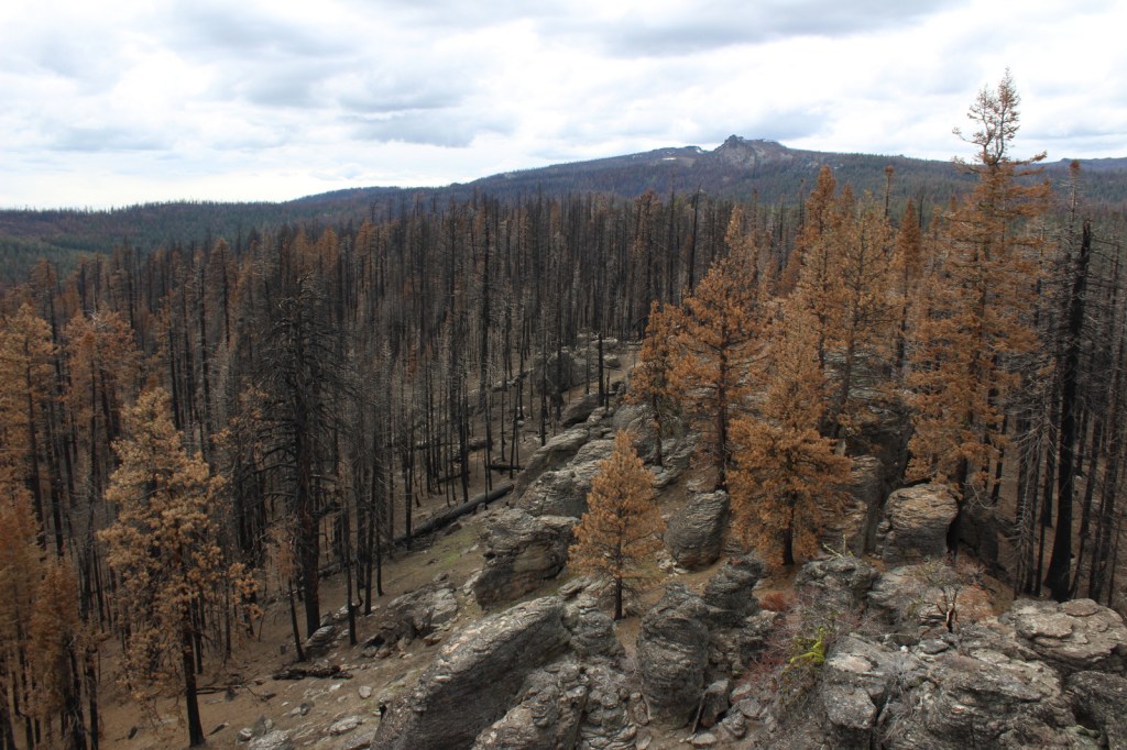
After the Bootleg Fire swept through the area between our 2020 and 2022 visits, it was amazing to see the differences around Gearhart Mountain.  We drove as far up the mountain as we could to Lookout Rock Trailhead, parking at the edge of the Gearhart Mountain Wilderness, walking up the gated road to a fire lookout tower that remained unburnt on its rocky ridgetop.  It was difficult to the follow the official Gearhart Mountain trail because of downed trees and the blanket of dead needles on the forest floor, but it was worth a look around to see the fire’s aftermath (please exercise caution due to the hazards of standing dead trees).  The trail accesses the volcanic Palisade Rocks within one mile from the trailhead.

Watchable Wildlife

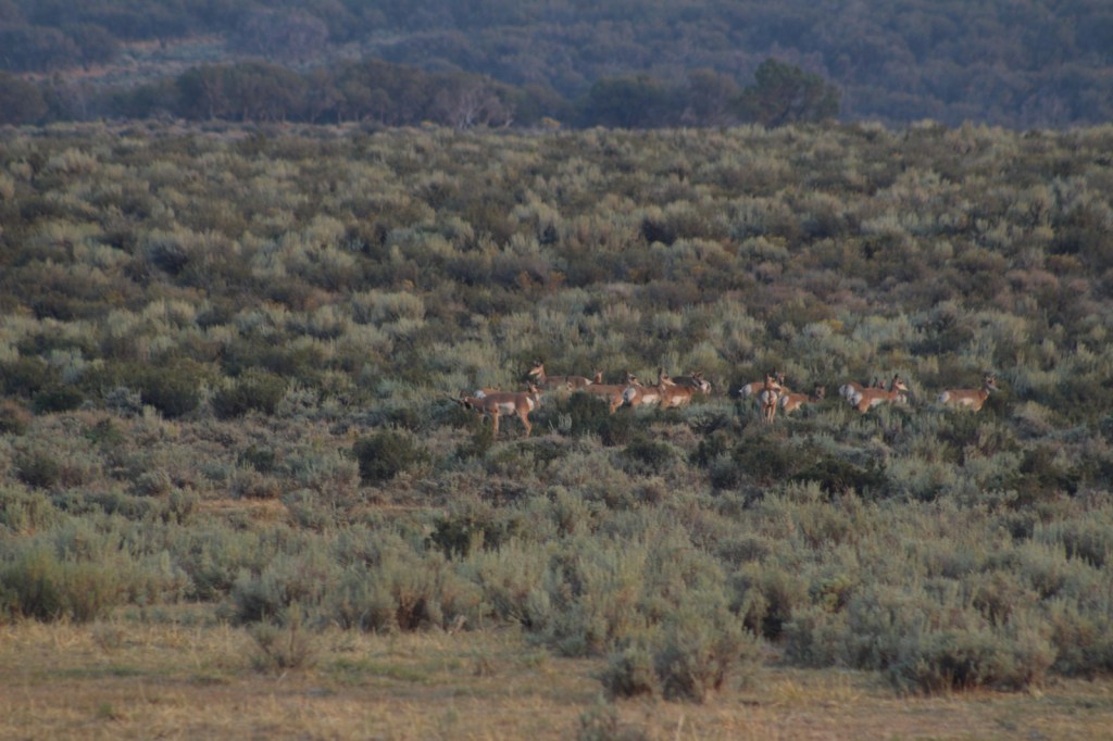
Mule deer, elk, and pronghorns are large ungulates found in Fremont National Forest, sharing habitat with carnivores like black bears, coyotes, mountain lions, and bobcats.  The National Forest borders Summer Lake and several large wetlands that are important stops for migrating birds on the Pacific Flyway.  Commonly seen waterfowl are Canada geese, mallards, and whistling swans, and the elusive northern spotted owl nests in old-growth forests.  There are largemouth bass in the lakes, while streams support several species of trout, including the threatened bull trout. 

Instagram-worthy Photo

Nearly 10,000 Fugo balloons were launched by the Japanese during World War II, but only one caused casualties, killing six American civilians when it exploded on May 5, 1945.  At the Mitchell Monument, you can read their story and see a ponderosa pine tree that still contains shrapnel from the balloon bomb.

Peak Season

Summer

Fees

None

Road Conditions

Paved Highway 140 runs east-west through the heart of the National Forest, while Highway 395 splits a separate southeastern section on the California border.  We found unpaved Forest Road 34 to be full of potholes, but it got better the further east we went towards the Mitchell Monument and Gearhart Mountain.  Even after the 2021 fire, we found Forest Road 3660 to the Coleman Rim to be a good gravel road, while Forest Road 024 was a bit overgrown.

Camping

This is a good National Forest for dispersed camping, but we also passed Corral Creek Campground on our way up to Gearhart Mountain and Cottonwood Recreation Area offers a campground on a lake.  Rentals are available in the summer for the Drake Peak Lookout, Currier Guard Station, and Bald Butte Lookout.

Wilderness Areas

Gearhart Mountain Wilderness

Related Sites

Deschutes National Forest (Oregon)

Winema National Forest (Oregon)

Newberry National Volcanic Monument (Oregon)

Nearest National Park
Crater Lake

Conifer Tree Species

ponderosa pine, western white pine, lodgepole pine, Douglas-fir, Engelmann spruce, white fir, western juniper

Flowering Tree Species

quaking aspen, curlleaf mountain-mahogany, willow, sagebrush

Explore More – The National Forest is named after John C. Fremont who explored this area for the U.S. Army Corps of Engineers and went on to take control of the California Republic (for which he was convicted of mutiny and later pardoned), serve as a U.S. Senator, run twice for President, and then resign while Governor of what U.S. territory?

Learn more about this and the 154 other National Forests in our new guidebook Out in the Woods

We are a participant in the Amazon Services LLC Associates Program, an affiliate advertising program designed to provide a means for us to earn fees by linking to Amazon.com and affiliated sites.

Beaverhead National Forest

Beaverhead National Forest

Montana

Managed by U.S. Forest Service, Northern Region

2,199,013 acres (2,130,671 federal/ 68,342 other)

Website: https://www.fs.usda.gov/bdnf

Overview

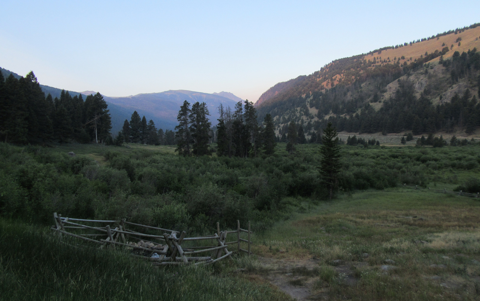
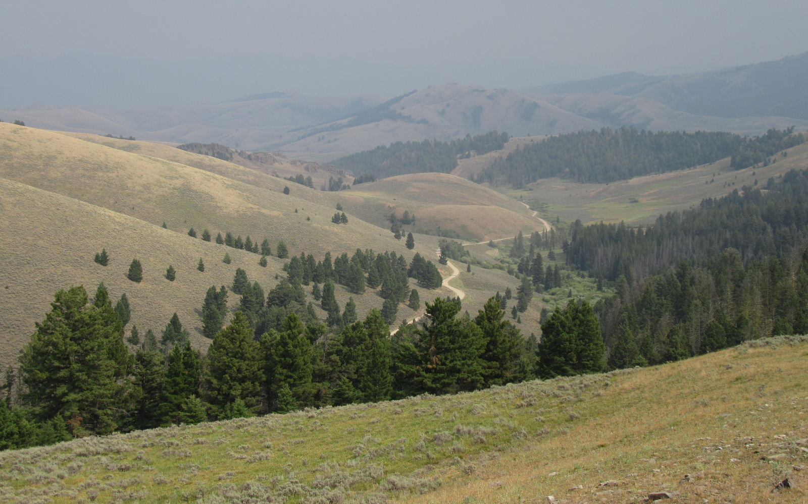
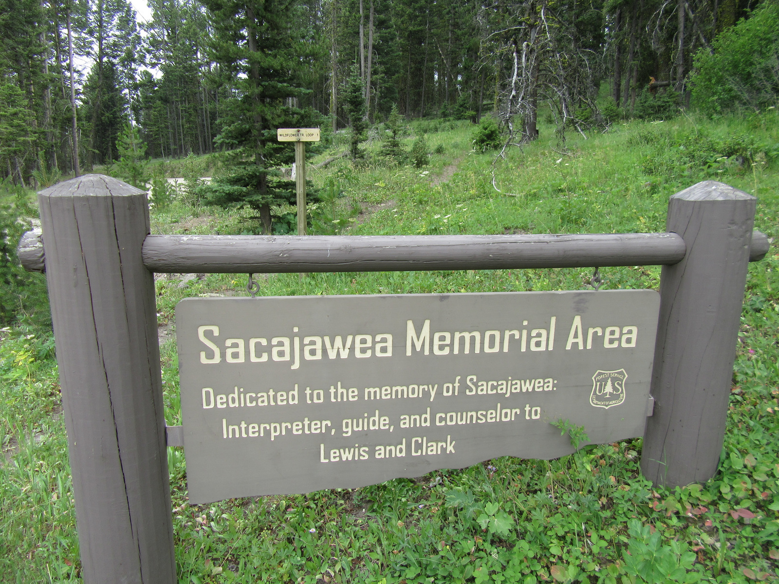
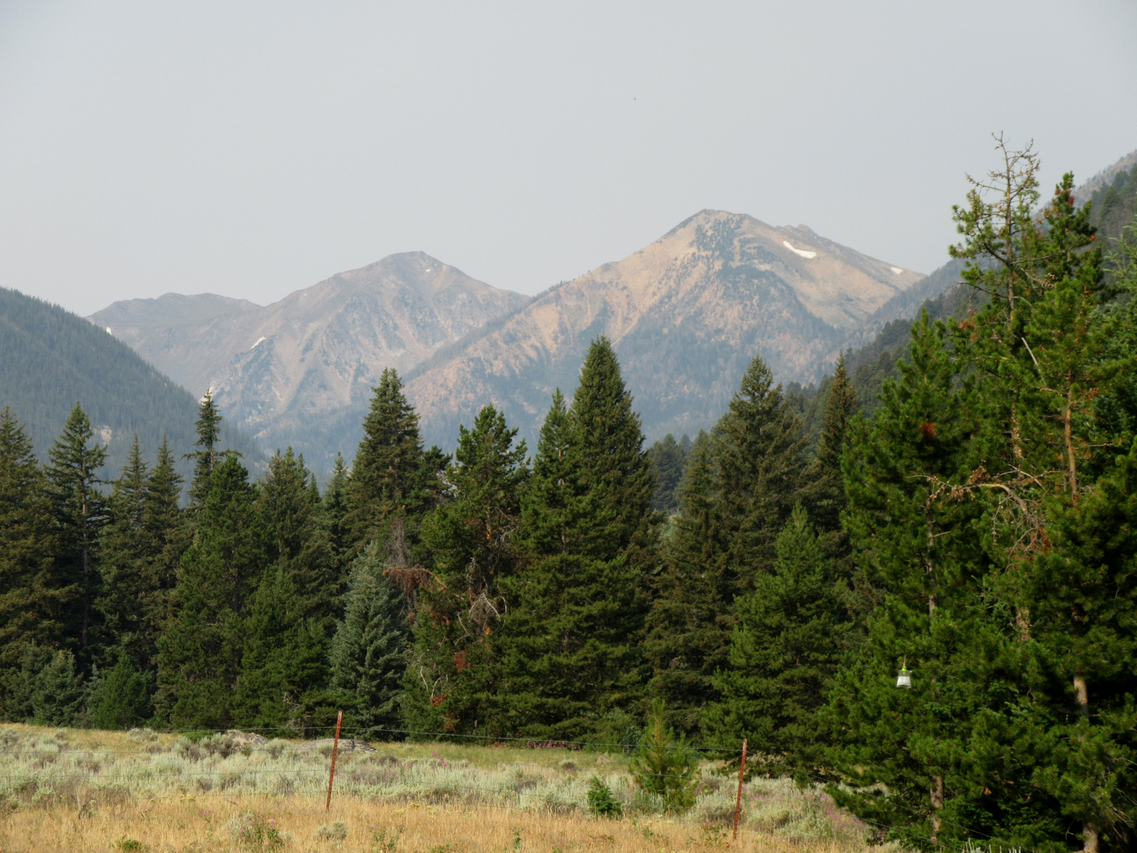
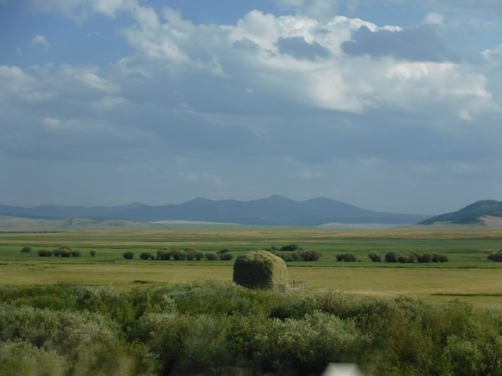
Co-managed since 1996, Beaverhead-Deerlodge National Forest is spread across multiple mountain ranges in the southwest corner of Montana.  The dividing boundaries between the two forests are unclear, though Beaverhead National Forest tends to be more southeast than Deerlodge National Forest and includes portions of the Beaverhead, Bitterroot, Centennial, Gravelly, Madison, Pioneer, Tendoy, and Tobacco Root Mountains.  Bordering Idaho’s Salmon National Forest, 7,323-foot Lemhi Pass is located on the Lewis and Clark National Historic Trail.  This is where the Corps of Discovery crossed the Continental Divide in 1805 and is why the Sacajawea Memorial Area was established here in 1932.

Highlights

Pioneer Mountains Scenic Byway, Lemhi Pass, Sacajawea Memorial, Chief Joseph Pass, Pintler Falls, Upper Potosi Hot Springs, Charcoal Kilns, Gravelly Range Auto Tour, Nez Perce National Historic Trail, Continental Divide National Scenic Trail

Must-Do Activity

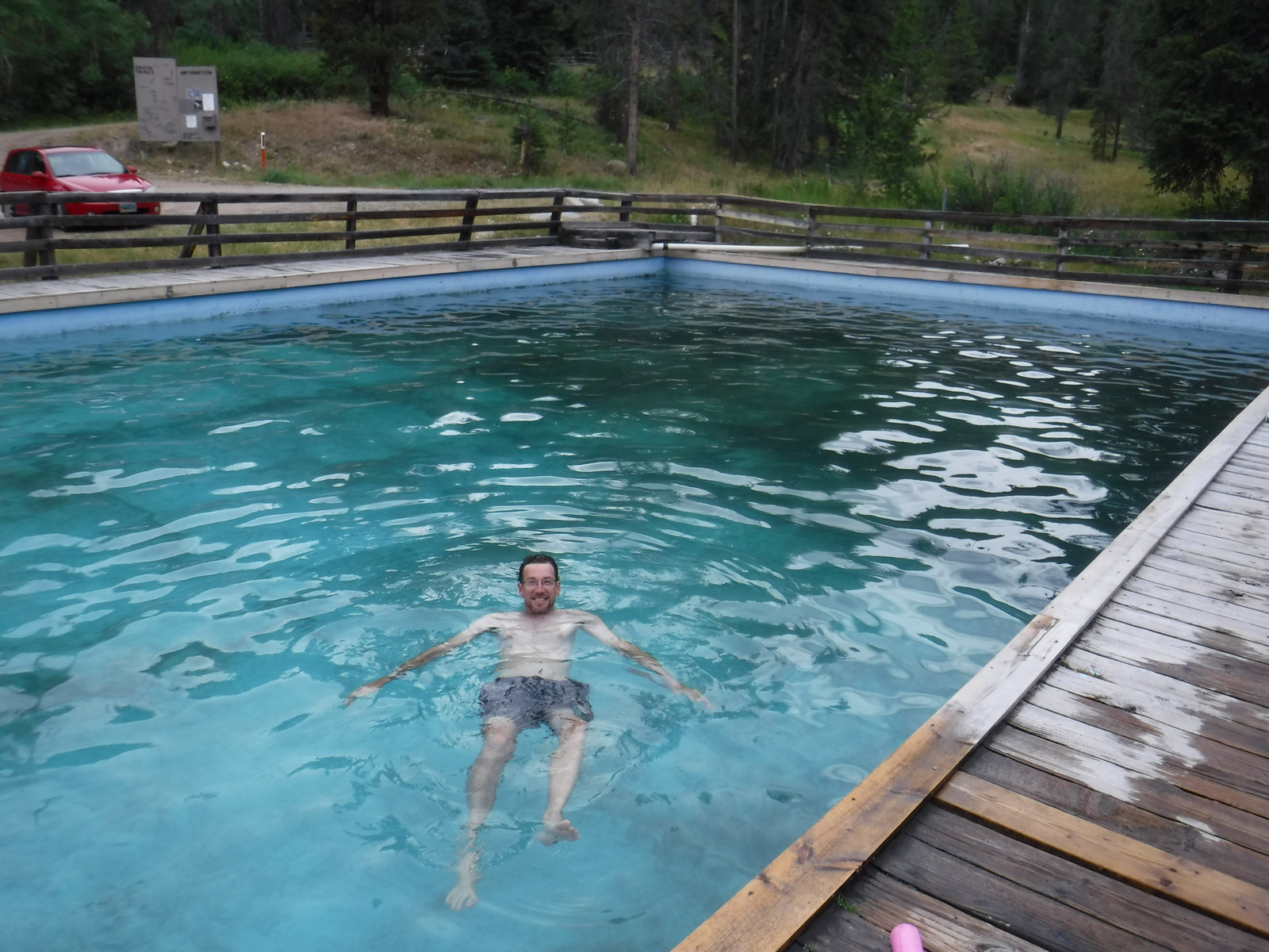
It is about a 17-mile drive from Harrison, Montana back to the free Potosi Campground, but it is well signed and worth the effort.  From here a 0.8-mile trail leads to Upper Potosi Hot Springs, a clear 100°F pool with room for about six adults.  Further west, about ten miles north of Highway 278, is the privately owned Elkhorn Hot Springs (fee), a great place to relax after hiking around Big Hole National Battlefield (managed by the National Park Service).  If you keep driving north on Wise River Polaris Road (FR 484), there are plenty of dispersed campsites and trailheads for several long hikes into the Pioneer Mountains.

Best Trail

We only hiked less than a mile trail to Upper Potosi Hot Springs, but that trail keeps climbing three miles to the top of the ridge.  We read good reviews for Louise Lake National Recreation Trail (see note on Road Conditions below), Pioneer Lake National Recreation Trail, Browns Lake Trail, Blue Creek Trail, Sand Lake/Lily Lake Trail, and Gold Butte Trail.  Hopefully we will make it back here to go backpacking someday.

Watchable Wildlife

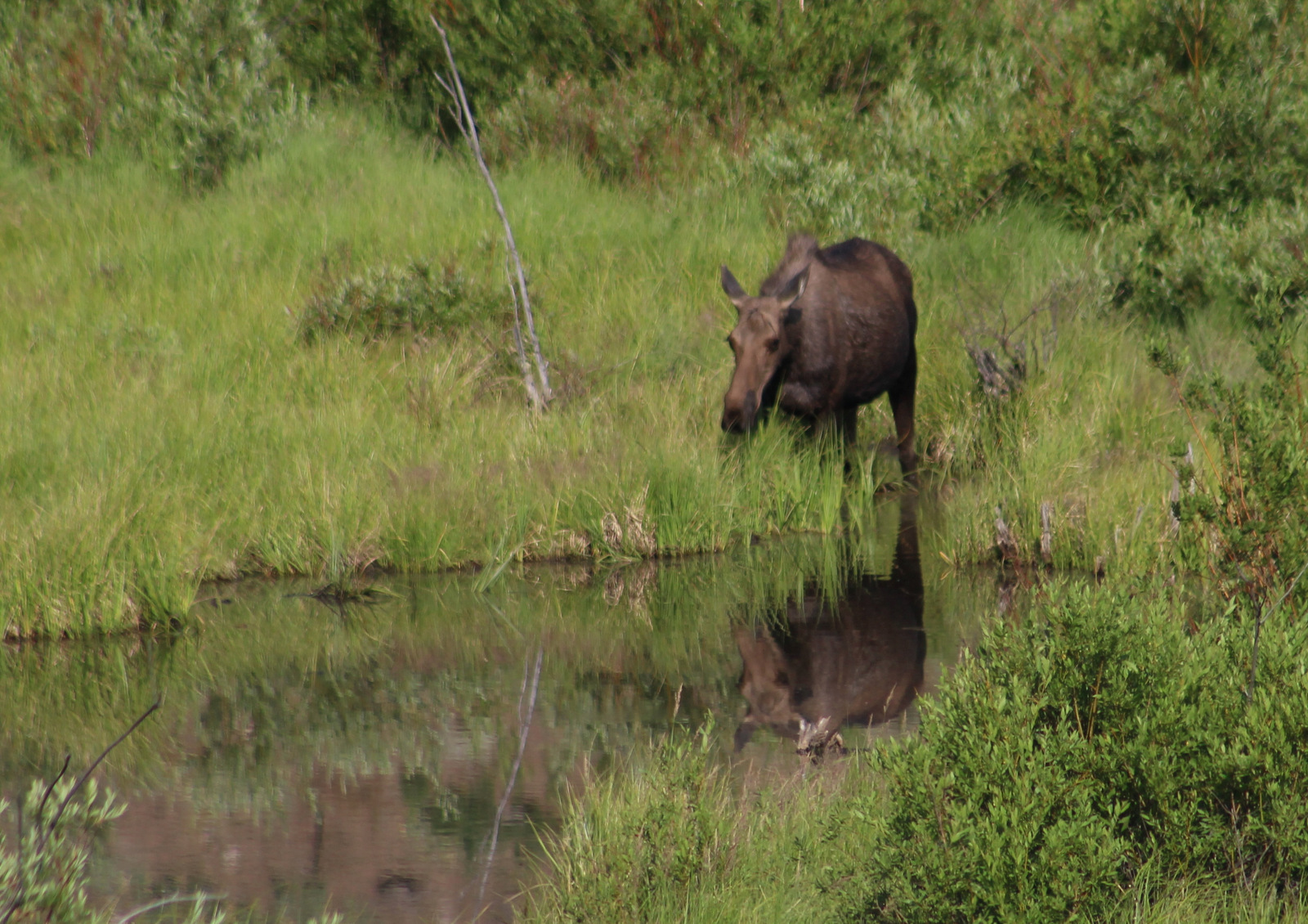
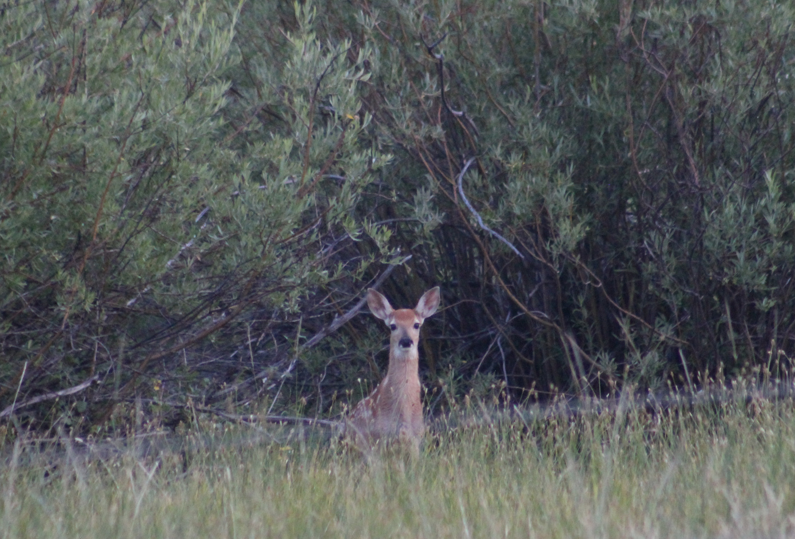
Beaverhead National Forest still has most of its pre-settlement carnivores: grizzly bears, black bears, mountain lions, Canadian lynx, coyotes, and gray wolves.  Grazing ungulate species include moose, elk, mule deer, white-tailed deer, bighorn sheep, mountain goats, and pronghorns.  We saw bald eagles and ospreys on our drive out from Upper Potosi Hot Springs.  Mountain whitefish, golden trout, cutthroat trout, rainbow trout, brook trout, lake trout, arctic grayling, and burbot are some of the gamefish sought by fishermen.

Instagram-worthy Photo

The ruins of a developed hot springs resort (located on private land) are visible from Upper Potosi Hot Springs.  Watch for moose downhill in South Willow Creek and a cute little garter snake that hangs out in the rocks by the pool (possibly year round if it stays warm enough not to hibernate).

Peak Season

Summer

Fees

None

Road Conditions

The dirt roads to Potosi Campground and over Lemhi Pass are both in very good condition, but we do not know about all the other dirt roads that cross the Continental Divide.  We read the access road to Louise Lake National Recreation Trail is pretty rough, requiring four-wheel drive the last two miles.

Camping

There are more than 20 spots to set up at Potosi Campground, which is free and located near the trailhead for Upper Potosi Hot Springs.  You will want a high-clearance vehicle to drive across South Willow Creek to the official trailhead, but there are also pedestrian bridges.

Wilderness Areas

Anaconda-Pintler Wilderness (also in Deerlodge and Bitterroot National Forests)

Lee Metcalf Wilderness (also in Gallatin National Forest)

Related Sites

Deerlodge National Forest (Montana)

Big Hole National Battlefield (Montana)

Grant-Kohrs Ranch National Historic Site (Montana)

Nearest National Park
Yellowstone (Wyoming-Montana-Idaho)

Conifer Tree Species

lodgepole pine, whitebark pine, ponderosa pine, Douglas-fir, Engelmann spruce, subalpine fir, subalpine larch

Flowering Tree Species

quaking aspen, balsam poplar, Bebb willow, sagebrush

Explore More – How tall is Hilgard Peak, the highest point in Beaverhead National Forest?

Hamilton Grange National Memorial

Overview

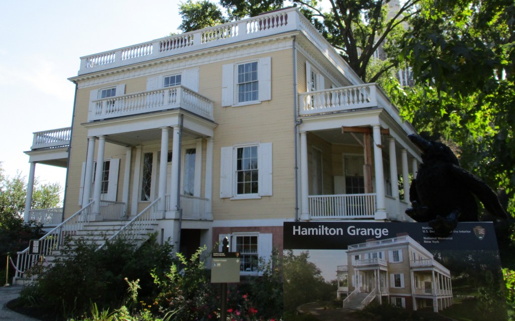
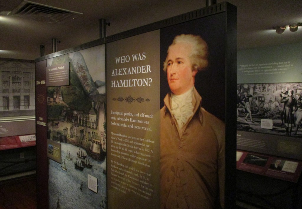
Anyone who has watched the musical Hamilton is familiar with the life story of Alexander Hamilton.  Hamilton Grange National Memorial is the only National Park Service (NPS) site dedicated to this “founding father.”  It is also the only one of 45 National Memorials built by the person it honors.  What you may not know is that his historic home in New York City has been moved twice, once in 1889 and again in 2008.
Highlights

Museum, tour, statue at St. Luke’s Episcopal Church

Must-Do Activity

The Grange gets its name from the Hamilton family’s ancestral home in Scotland.  Built in 1802 on a 32-acre estate in Upper Manhattan, Hamilton only lived there two years before being shot and killed in an infamous duel with Aaron Burr.  Today you enter the home through the basement where the NPS runs a museum.  Access upstairs is available on guided tours or during daily “open house” hours, but you must leave large items in lockers.

Best Trail

None

Instagram-worthy Photo

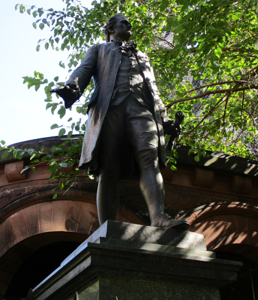
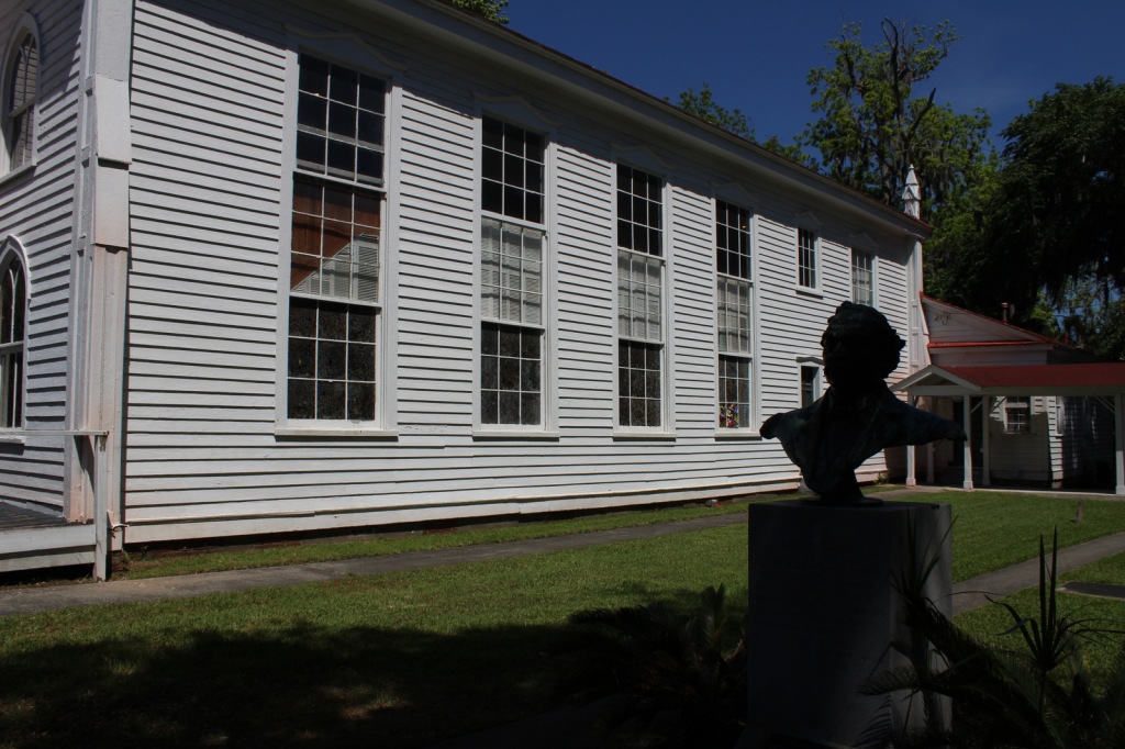
The Grange was tucked between St. Luke’s Episcopal Church and an apartment building until 2008 when the NPS moved it to St. Nicholas Park, part of the original 32-acre estate.  A statue of Alexander Hamilton still stands where the house resided for more than a century.

Peak Season

Summer

Hours

https://www.nps.gov/hagr/planyourvisit/hours.htm

Fees

None

Road Conditions

It is easiest not to drive into New York City, instead opt to take public transportation.

Camping

None

Related Sites

African Burial Ground National Monument (New York)

Federal Hall National Memorial (New York)

Saint Paul’s Church National Historic Site (New York)

Explore More – After resuming his law practice in 1795, Hamilton represented free and enslaved African Americans and defended a newspaper editor sued for slander by which future president?

Reconstruction Era National Historical Park

Overview

Like Freedom Riders National Monument in Alabama, President Obama established Reconstruction Era National Monument in 2017.  The park is located about an hour south of Charleston, South Carolina and is still under development, but they already have a Junior Ranger program.  The Reconstruction Era took place following the Civil War when the U.S. military helped freed African-American slaves integrate into southern society.  It was a complicated and mostly failed social experiment with long-lasting repercussions within American culture.

Highlights

Old Beaufort Firehouse, Robert Smalls Memorial, Camp Saxton, Penn Center, Brick Baptist Church

Must-Do Activity

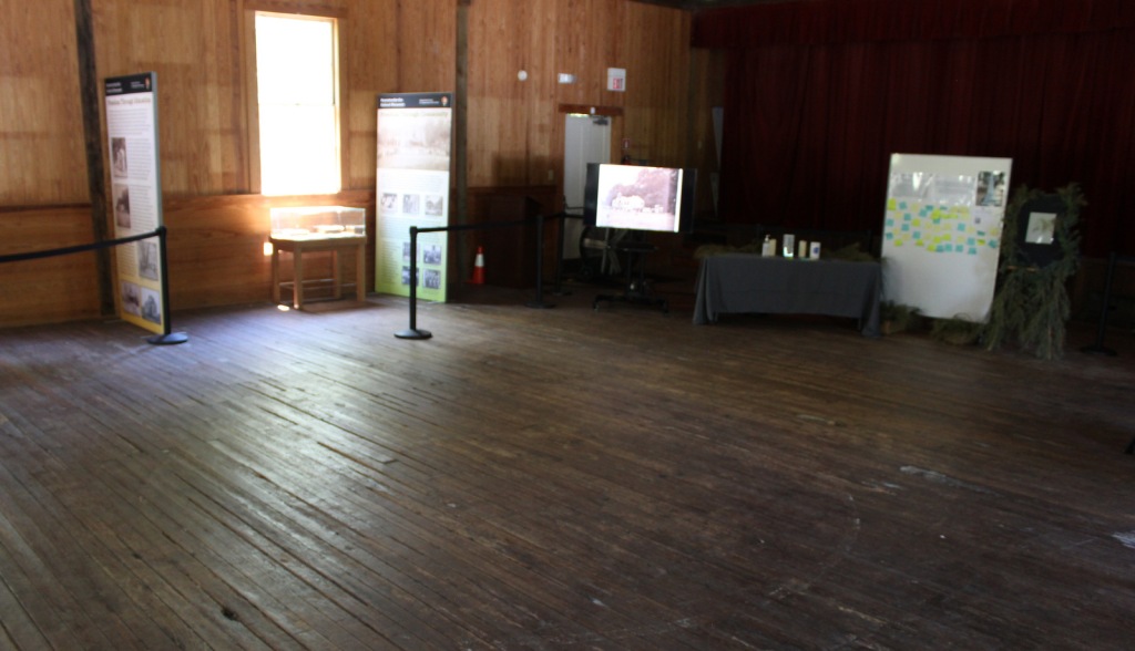
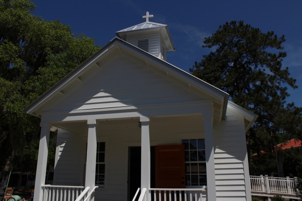
We recommend the ranger-guided tour of Camp Saxton that leaves from the National Park Service (NPS) operated Porter’s Chapel, next to the skate park in Port Royal, South Carolina.  Following the loss of Fort Sumter, the Union Army occupied this area by late-1861, eventually training former slaves to serve as soldiers.  There is nothing left to see of the camp, but there are tabby walls from old Fort Frederick.  After a short walk, the park ranger will help you imagine what the scene would have looked like when the black soldiers were officially freed on Emancipation Day, January 1, 1863.

Best Trail

You can walk around the historic Penn Center (guided tours offered) where the NPS maintains a visitor center in Darrah Hall, a donated part of this National Historic Landmark that has a long history of African-American education. 

Instagram-worthy Photo

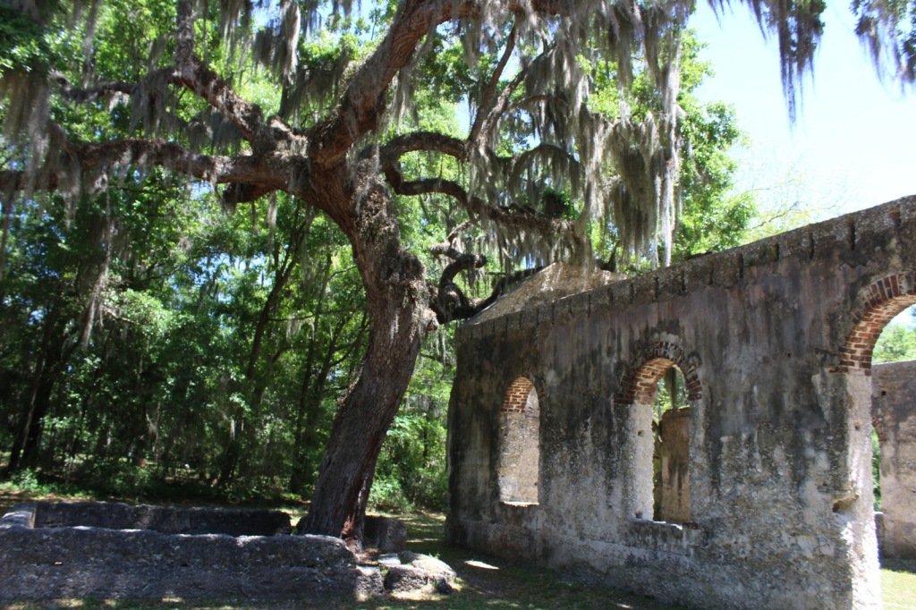
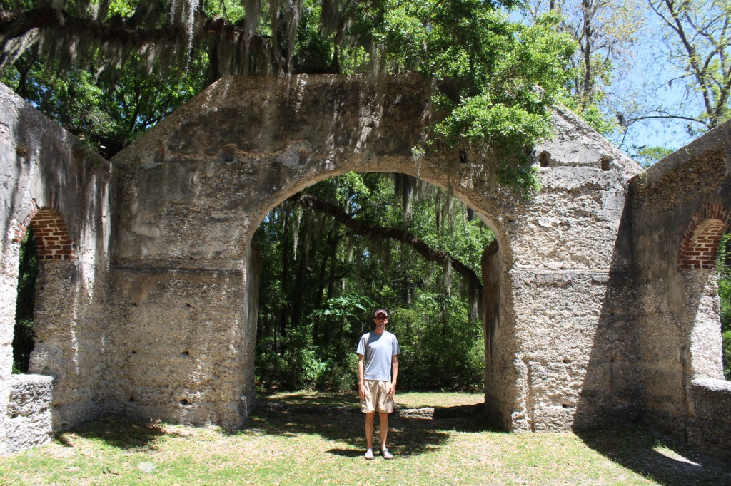
The Old Sheldon Church Ruins are not technically part of the park, but they are located just down the road from the Penn Center.  The Parrish Church of St. Helena outside Beaufort is also very photogenic.

Peak Season

Summer

Hours

https://www.nps.gov/reer/planyourvisit/hours.htm

Fees

None

Road Conditions

All major access roads are paved, although parking can be scarce around Port Royal during the farmers’ market.

Camping

Hunting Island and Edisto Beach State Parks both take camping reservations, so book early.  There are also campgrounds and backcountry campsites north of Charleston, South Carolina in Francis Marion National Forest.

Related Sites

Fort Sumter and Fort Moultrie National Historical Park (South Carolina)

Camp Nelson Heritage National Monument (Kentucky)

Fort Monroe National Monument (Virginia)

Explore More – How did future U.S. Congressman Robert Smalls escape slavery during the Civil War?

Top 10 Most Depressing National Park Service Sites

Depression is not usually celebrated, but sometimes it is important to remember the terrible events that happened in the past.  You can either choose to avoid these National Park Service (NPS) sites or learn from them.  Southwest Pennsylvania is somewhat famous in the NPS for having three sites with an unpleasant history.  Click here to see all of our other Top 10 Lists, which are much more uplifting!

10. Whitman Mission National Historic Site (Washington)

Following a devastating 1847 measles epidemic , 13 missionaries were killed by grieving Cayuse families

9. River Raisin National Battlefield Park (Michigan)

American prisoners were slaughtered here during the War of 1812

8. Medgar and Myrlie Evers Home National Monument (Mississippi)

Like Martin Luther King, Jr., Medgar Evers was assassinated for his civil rights work

7. Ford’s Theatre National Historic Site (District of Columbia)

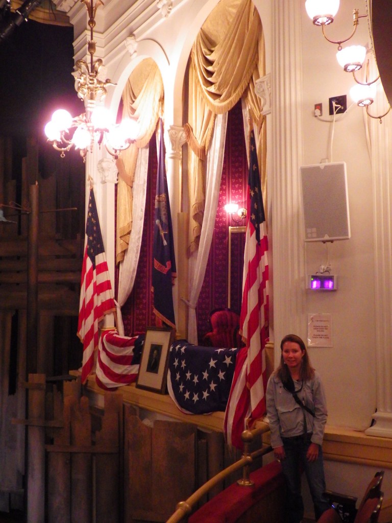
The place where President Abraham Lincoln was shot by John Wilkes Booth

6. Johnstown Flood National Memorial (Pennsylvania)

More than 2,200 people died when a dam broke on May 31, 1889

5. Freedom Riders National Monument (Alabama)

Site of a 1961 public beating and bus burning where, fortunately, nobody was killed

4. Sand Creek Massacre National Historic Site (Colorado)

A senseless massacre by the U.S. military took place here and at Washita Battlefield National Historic Site in Oklahoma

3. Manzanar National Historic Site (California)

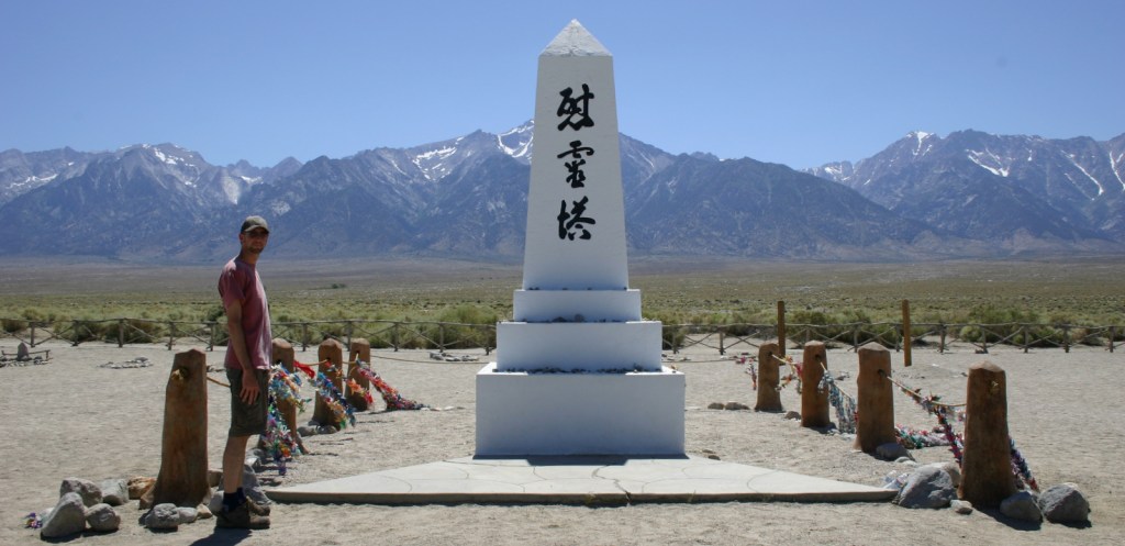
A Japanese internment camp during WWII, as are Tule Lake National Monument and Minidoka National Historic Site

2. Andersonville National Historic Site (Georgia)

This infamous Civil War prison is now site of the National Prisoner of War Museum

…and finally our #1 most depressing NPS site:

1. Flight 93 National Memorial (Pennsylvania)

The freshest wound of any of these historic sites, it is an emotional place to visit

Honorable Mentions

Booker T. Washington National Monument (Virginia)

Representative of the tragic life that all slaves led throughout the United States

Antietam National Battlefield (Maryland)

All Civil War battles were horrifying, but this one had an especially high casualty rate

Fort Necessity National Battlefield (Pennsylvania)

Rounding out the three southwest Pennsylvania sites is this ignominious George Washington defeat