Fort Matanzas National Monument
Florida
Managed by National Park Service
Established 1924
300 acres
Website: nps.gov/foma
Overview
After a failed American settlement by persecuted French Protestants (Huguenots) in 1562, two years later a group of 200 soldiers, artisans, and a few women established a colony at the mouth of the St. Johns River (east of present-day Jacksonville, Florida). Led by René de Goulaine de Laudonnière, they hurriedly assembled the triangular Fort Caroline, named for King Charles IX. In 1565, Jean Ribault arrived with 600 more settlers and soldiers. After learning the Catholic Spanish had established a base to the south at St. Augustine, Ribault set sail for a surprise attack, only to be shipwrecked by a hurricane. The unprotected Fort Caroline was easily captured by the Spanish, who executed 140 of its 200 inhabitants. The Spanish then killed nearly 250 French marooned at Matanzas Inlet, which gained its name from these “slaughters.” Following a British siege in 1740, the Spanish began construction of Fort Matanzas on Rattlesnake Island to guard the southern entrance to the city of St. Augustine where they had built Castillo de San Marcos. Only two years later, Fort Matanzas’ cannons successfully repelled British ships and today you can take a free ferry to tour inside the restored 50-foot-square structure.
Learn more about the other 137 National Monuments in our book Monumental America: Your Guide to All 138 National Monuments. It is now available for sale on Amazon.com.

Highlights
Museum, film, boat ride, Fort Matanzas, Nature Trail
Must-Do Activity
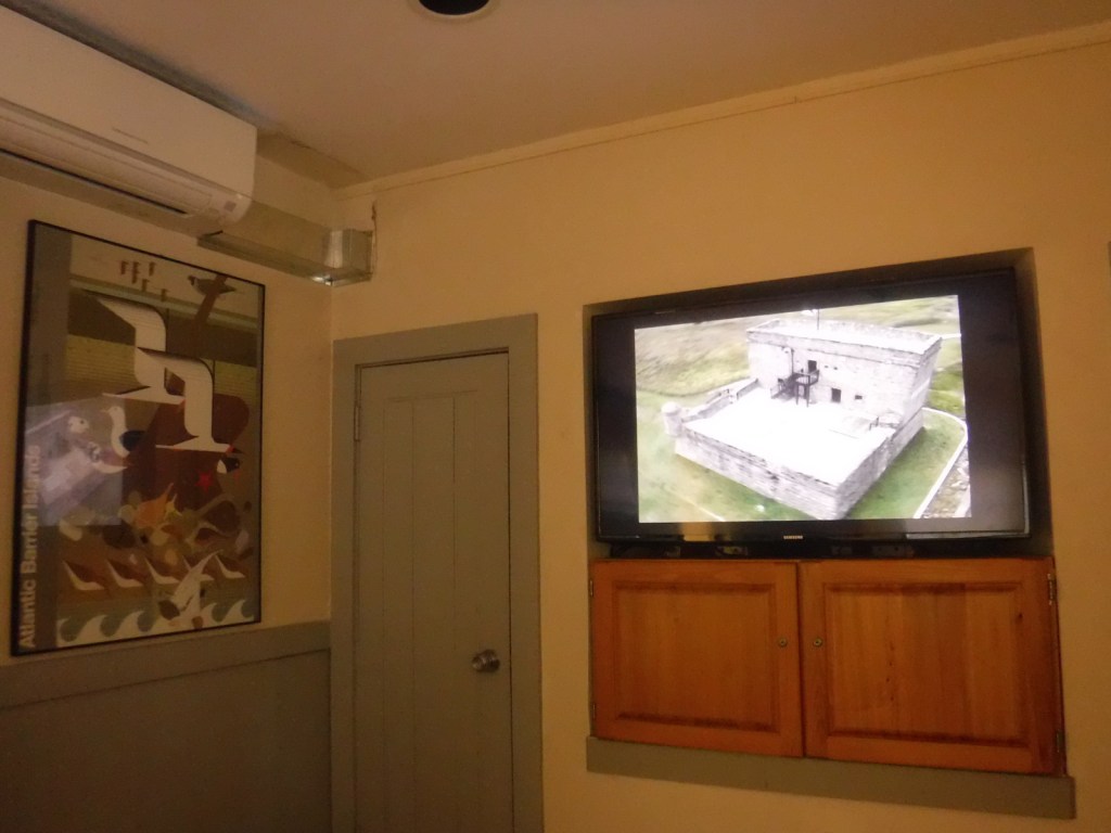
We have tried three times to visit the fort here, but in 2016, 2019, and 2024 the dock was damaged by a hurricane so the National Park Service (NPS) ferry was not running to Rattlesnake Island. Good news is there is an eight-minute film and you can see the small fort from the visitor center. There are also hiking trails, boardwalks, and sandy beaches to explore at the southern tip of Anastasia Island, which are accessible by car. Only 40 miles to the north, the NPS administers Fort Caroline National Memorial as a unit of Timucuan Ecological and Historic Preserve, where you can enter a one-third scale reconstruction of the triangular structure (and no ferries are involved).
Best Trail
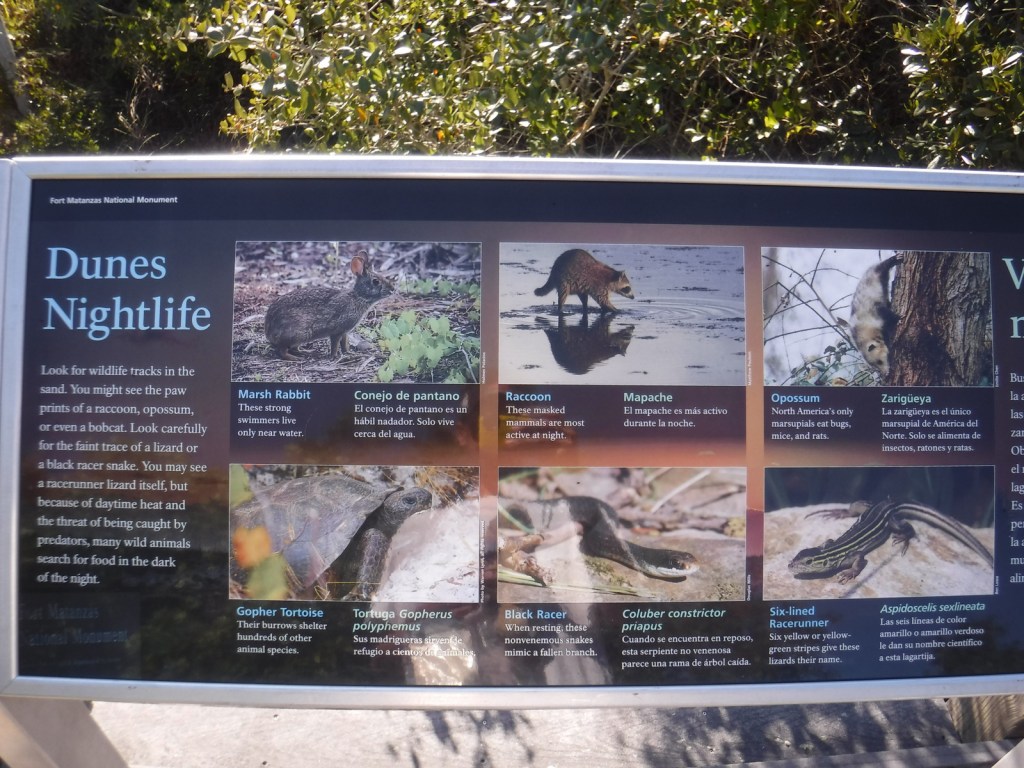
The half-mile Coastal Hammock Trail has signs introducing some of the tree and shrub species found in the maritime forest.
Photographic Opportunity
Southern live oak trees stretch their twisted branches above the picnic area in the parking lot of the visitor center.

Peak Season
Spring
Hours
https://www.nps.gov/foma/planyourvisit/hours.htm
Fees
The visitor center, trails, and NPS ferry are free, but there is a parking fee for beach access on the Atlantic Ocean side across Highway A1A from the visitor center entrance road.
Road Conditions
The road to the parking lot is paved from Highway A1A.
Camping
The NPS does not run a campground, but Anastasia State Park does south of St. Augustine.
Related Sites
Castillo de San Marcos National Monument (Florida)
Fort Caroline National Memorial (Florida)
Canaveral National Seashore (Florida)


Explore More – What species of endangered sea turtles nest on the barrier islands protected within Fort Matanzas National Monument?

Learn more about the other 137 National Monuments in our book Monumental America: Your Guide to All 138 National Monuments