Tag Archives: history

Capitol Reef National Park

Overview

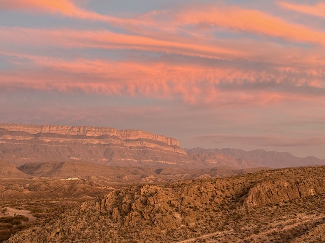
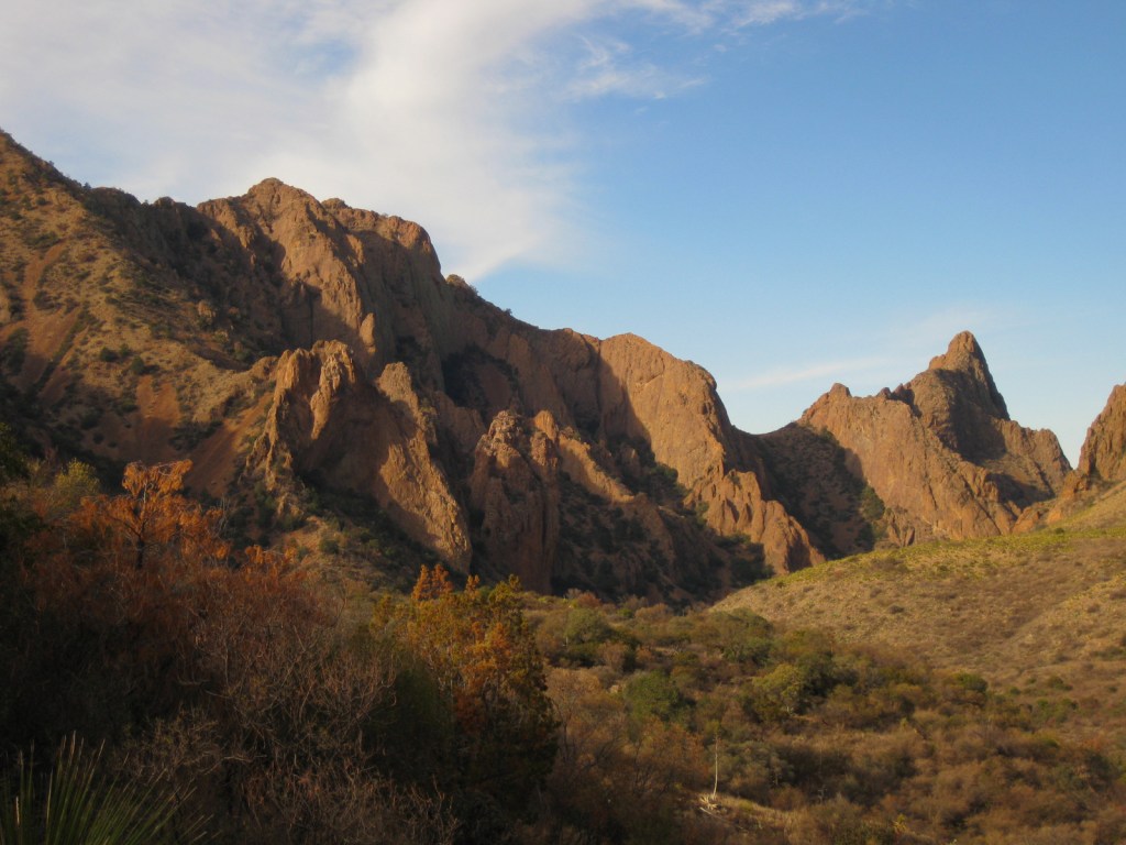
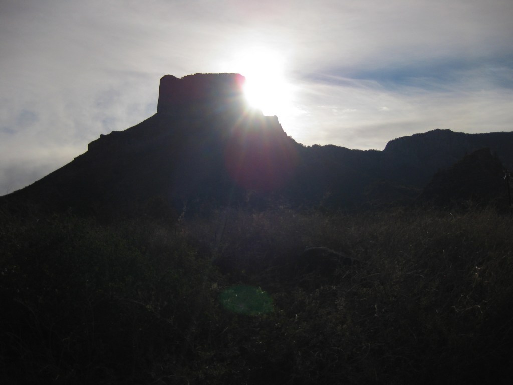
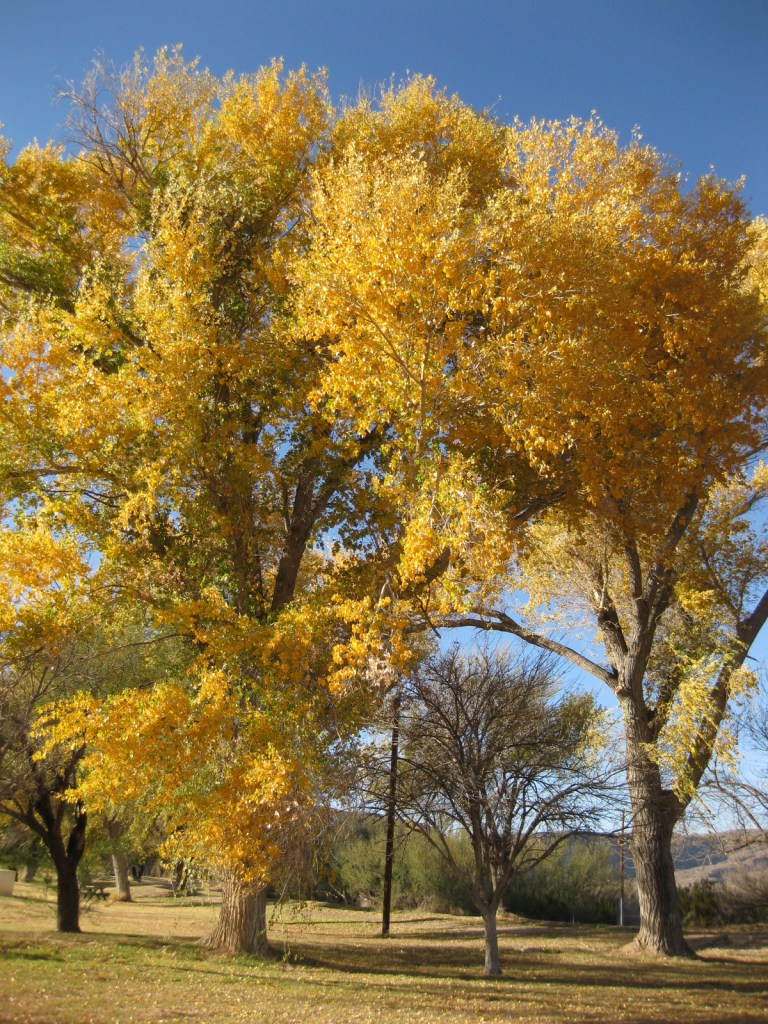
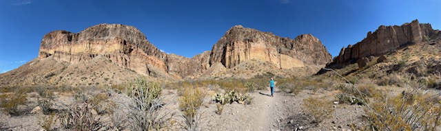
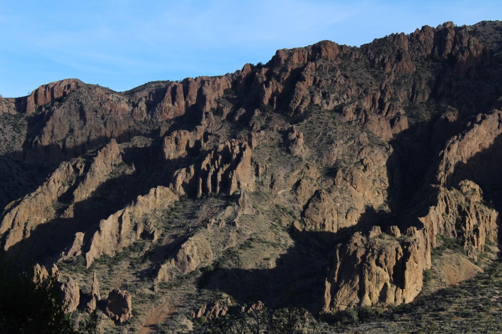
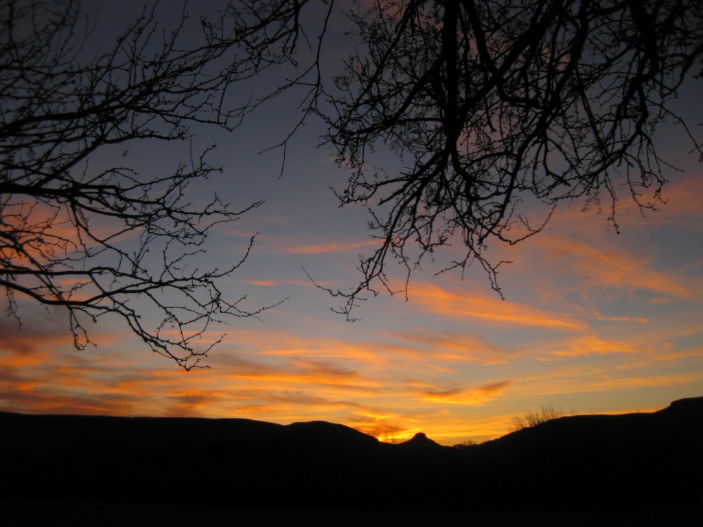
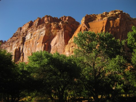
Amongst the phenomenal National Parks of southern Utah, sometimes Capitol Reef gets overlooked.  Stretching along the geologic warp of Waterpocket Fold, Capitol Reef National Park is colorful in the extreme.  Driving the miles of dirt roads that crisscross the park may be the best way to explore its hidden treasures and no visit should be completed without some back road driving, even if it is the easy drive down Caineville Wash Road to the Temple of the Sun and the Temple of the Moon.

Capitol2.JPG

Highlights

Fruita Historic District, Hickman Bridge, Grand Wash Trail, Strike Valley Overlook

Must-Do Activity

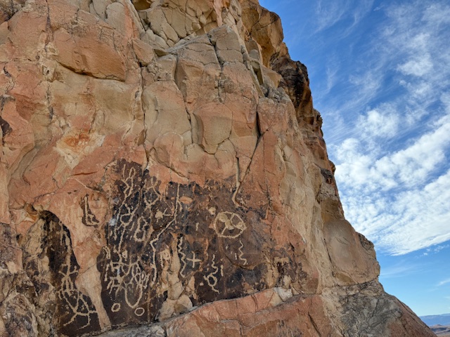
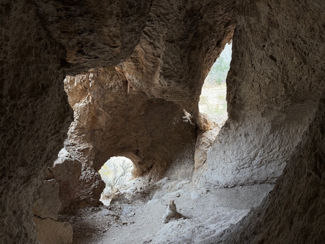
After exploring the Fruita Historic District and Grand Wash Trail, drive across Highway 24 to the petroglyphs and the trailhead for the steep one-mile hike to Hickman Bridge, a massive stone formation cut into a gorgeous canyon.  Be aware, this is the busiest part of the park because it is one of the few places with paved roads.

Best Trail

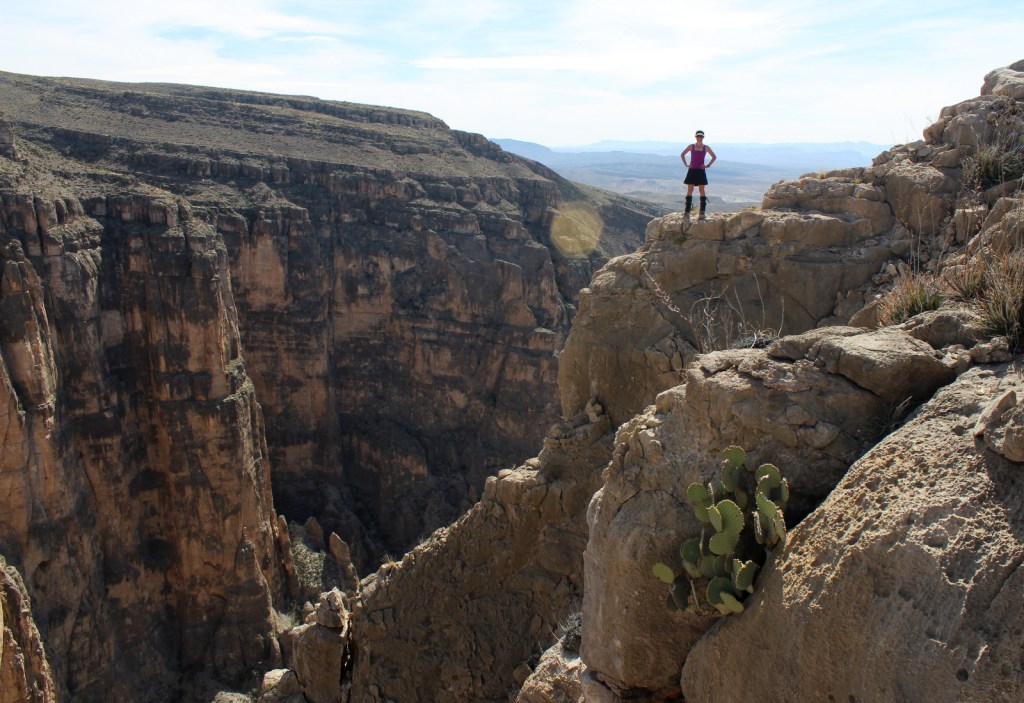
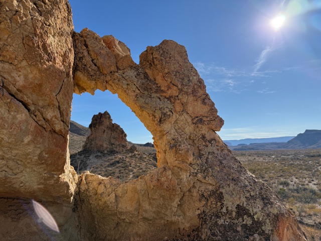
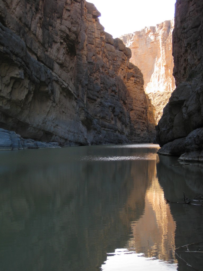
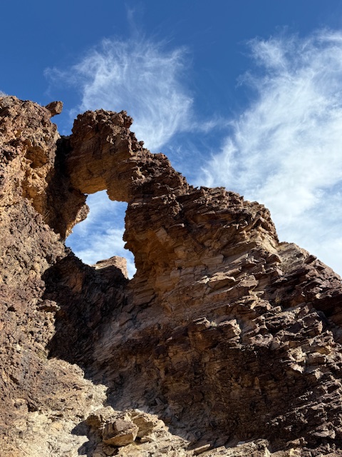
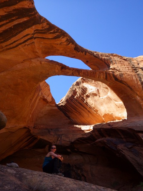
Leaving from Strike Valley Overlook, the all-day trek through Upper Muley Twist Canyon offers many unnamed arches, slickrock slopes, narrow passages, sheer cliffs, and stunning views as it winds 10 rugged miles to form a lollipop loop.

Instagram-worthy Photo

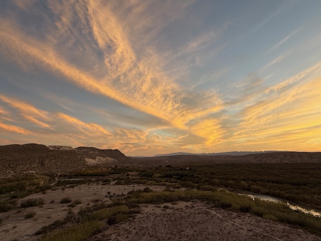
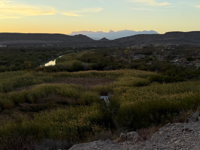
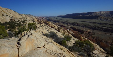
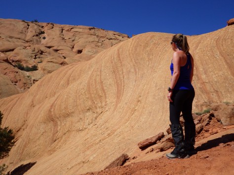
Strike Valley Overlook offers an amazing perspective on Waterpocket Fold, but requires a high clearance vehicle to drive the last three miles after a long drive down Notom-Bullfrog Road or Burr Trail Road.

N 2015CR9

Peak Season

Spring and Fall

Hours

https://www.nps.gov/care/planyourvisit/hours.htm

Fees

The only fee is on the paved Scenic Drive south of the Fruita Historic District, but the NPS accepts the America the Beautiful pass for that.

Road Conditions

Most of the dirt roads (like Notom-Bullfrog and Caineville Wash) are passable to any vehicle, but high clearance is needed on the last bit to Strike Valley Overlook and to cross the Fremont River on the Cathedral Loop.  However, there is not much infrastructure in this rugged and dry National Park, so you need to be well-prepared in case of emergency.

Camping

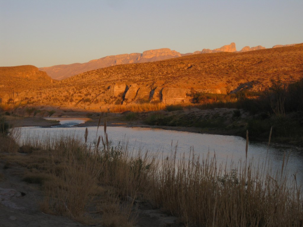
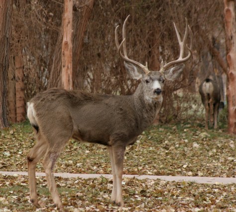
The Fruita Historic District offers camping along the Fremont River, close encounters with mule deer, and free apple picking in the fall.  Dry sites are free at Cedar Mesa and Cathedral Valley Campgrounds.

N 590-April Utah 497
The trail climbs steeply one-mile to Hickman Bridge.
N 2013CapitolReef
Fruita Historic District
November Utah 709
Mule deer near the campground in Fruita Historic District.
Heading into Grand Wash in Canyonlands National Park
Grand Wash Trail
Sun hitting the walls
The Walls of Jericho catch the morning light in Cathedral Valley.
By the arch
Brimhall Natural Bridge.
Tiff checking out some cool sandstone
Upper Muley Twist Canyon offers many unnamed arches, slickrock slopes, narrow passages, sheer cliffs, and stunning views.
LR CARE.jpg
This design we created to celebrate Capitol Reef National Park is available on a variety of products at Cafe Press and Amazon.

Explore More – Why is the park named Capitol Reef?

1WonsTiny2

WONDON WAS HERE …TWICE …THRICE

We are a participant in the Amazon Services LLC Associates Program, an affiliate advertising program designed to provide a means for us to earn fees by linking to Amazon.com and affiliated sites.

Big Bend National Park

Overview

The park is named for a curve in the Rio Grande which forms the international border with Mexico.  This corner of Texas is not easy to get to, so when you do decide to visit plan on staying for at least a few days.  The weather can be very pleasant in the winter months.

Learn more about how to visit this National Park in the expanded second edition of our guidebook A Park to Yourself: Finding Solitude in America’s 63 National Parks

Bend

Highlights

Chisos Basin, Fossil Discovery Exhibit, Hot Springs, Balanced Rock, Santa Elena Canyon Overlook, The Chimneys, Dog Canyon Trail

Must-Do Activity

Located down a short dirt road from Rio Grande Village Campground, a quick walk takes you to a riverside hot springs, a great spot to relax after a day of hiking in the dry Texas desert.  While soaking there, you are literally a stone’s throw from another country.

Best Trail

From Chisos Basin it is a short two mile canyon hike to The Window for a gunsight view to the west.  This trail is especially popular at sunset.

Instagram-worthy Photo

The most popular back road is Grapevine Hills Road which accesses the short Balanced Rock Trail and passes a couple of the most accessible of the 70 primitive backcountry car campsites (which require a permit from a visitor center).

Z March Texas 188

Peak Season

Spring, but we have also had good weather during visits in December and January

Hours

https://www.nps.gov/bibe/planyourvisit/hours.htm

Fees

$30 per vehicle or America the Beautiful pass

Road Conditions

We found that many of the dirt roads are passable with a mini-van, but some are four-wheel-drive only, so check with a ranger first.

Camping

There are many choices of campgrounds and backcountry campsites (permit required) throughout the park, but we recommend the Chisos Basin for its roadrunners and nightly ranger programs.

LR BIBE
This design we created to celebrate Big Bend National Park is available on a variety of products at Cafe Press and Amazon.

Explore More – What rare migrant bird do birders annually “flock” to see in this park?

Know someone who loves National Parks? Gift them our travel guidebook A Park to Yourself: Finding Solitude in America’s 63 National Parks

Fort Necessity National Battlefield

Overview

In a nondescript field in rural western Pennsylvania, a battle began what some historians consider the first worldwide war.  In April 1754, a young George Washington led British troops, Virginia militia, and their American Indian allies on a mission to push the French out of the western frontier.  After Washington’s troops ambushed and scalped French officers, an angry retaliatory force pinned him down at the hastily constructed Fort Necessity.  Washington surrendered on July 3, 1754, starting a global conflict that became known as the Seven Years War (or the French and Indian War).

Necessity.JPG

Highlights

Museum, reconstructed fort, Mount Washington Tavern

Must-Do Activity

The National Park Service manages an excellent museum and a re-creation of the small fort.  There is a playground, too, perhaps to entice children to come learn that little actions can have big consequences.

Best Trail

Make a side trip to nearby Jumonville Glen, where a short loop trail guides visitors through the forest where the initial ambush on the French occurred.

Instagram-worthy Photo

The reconstructed Mount Washington Tavern, a stagecoach stop on the historic National Road.  Construction of the National Road began in 1811 and businesses like this one soon popped up to serve travelers.

June North Carolina 051

Peak Season

Open year round, except Jumonville Glen and Braddock’s Grave are only open in summer.

Hours

https://www.nps.gov/fone/planyourvisit/hours.htm

Fees

None

Road Conditions

All roads paved

Camping

Ohiopyle State Park has running water, as do several private campgrounds nearby.

June North Carolina 061

June North Carolina 055
Archaeologist using a metal detector to look for artifacts from 1754.

June North Carolina 066
Not many National Park Service sites have a playground like Fort Necessity National Battlefield.

June North Carolina 028
The free National Park Service museum details the battle and its global ramifications; there’s young George Washington.

June North Carolina 069

June North Carolina 046
Inside the Mount Washington Tavern.

June North Carolina 043

June North Carolina 072
Ambush site at Jumonville Glen.

Explore More – Despite its name, the Seven Years War actually lasted how many years after fighting took place on four continents (as well as in the Philippines and Caribbean islands)?

1WonsTiny2

WONDON WAS HERE

Chickasaw National Recreation Area

Overview

In 1976, Platt National Park was combined with the nearby reservoir at Arbuckle National Recreation Area to form Chickasaw National Recreation Area, named for the neighboring Chickasaw Nation of central Oklahoma.  The trails and infrastructure in the park were predominantly built in the 1930s by the Civilian Conservation Corps (CCC).

Chickasaw.JPG

Highlights

Natural springs, bison herd, Lincoln Bridge, reservoir

Must-Do Activity

Visitors should start at the Travertine Nature Center, then visit the bison pasture and “take the waters” at Vendome Well.  Other diverse recreational opportunities include camping and water sports on the Lake of the Arbuckles.

Best Trail

Take the trail from the Travertine Nature Center to Antelope Springs and photogenic Buffalo Springs.  There is also loop trail around the bison pasture.

Instagram-worthy Photo

The U.S. Mint quarter (see photo below) for Oklahoma depicts the Lincoln Bridge built by the CCC, but it can be difficult to photograph through the trees.

IMGP1910

Peak Season

Summer

Hours

https://www.nps.gov/chic/planyourvisit/hours.htm

Fees

None

Road Conditions

All roads paved, except in Bluestem Prairie.

Camping

Multiple campgrounds, including several on the shores of the Lake of the Arbuckles.

IMGP1892
The adventurous road to Travertine Nature Center.

IMGP1896
There is a lot to learn inside the Travertine Nature Center.

IMGP1894

IMGP1907

IMGP1899

IMGP1898
The acorn caps from bur oak trees are huge.

IMGP1912
You have to try the sulphurous water fountain at Vendome Well.

Explore More – What was the original name for this federally protected area in 1902?

1WonsTiny2

WONDON WAS HERE

We are a participant in the Amazon Services LLC Associates Program, an affiliate advertising program designed to provide a means for us to earn fees by linking to Amazon.com and affiliated sites.

Dayton Aviation Heritage National Historical Park

Overview

Dayton Aviation Heritage National Historical Park preserves Orville and Wilbur’s bicycle shop and explains the development of air travel at a museum next door and several other locations on the Aviation Trail.  The brothers opened a flight school at Huffman Prairie where an interpretive center on Wright-Patterson Air Force Base is run by the National Park Service (NPS).  We recommend you try one of the flight simulators at the two sites; they are free and they help you understand yaw.

Dayton.JPG

Highlights

Museums, historic buildings, flight simulators, National Museum of the U.S. Air Force

Must-Do Activity

In addition to learning about the Wright Brothers, the NPS also has an exhibit on Paul Laurence Dunbar, a local African-American poet whose home is occasionally open for tours.  When Orville Wright ran a print shop in high school, he published his classmate Dunbar’s work.

Best Trail

The Aviation Trail is not a walking trail, but it is mostly free, including the Parachute Museum and the National Museum of the U.S. Air Force at Wright-Patterson Air Force Base.

Instagram-worthy Photo

The NPS museum across from the bike shop has a replica of the 1902 glider that the Wright brothers took to Kitty Hawk, North Carolina.

IMGP6082.JPG

Peak Season

Open year round

Hours

https://www.nps.gov/daav/planyourvisit/hours.htm

Fees

None, except at the Wright Brothers Aviation Center and Hawthorn Hill mansion.

Road Conditions

All roads paved

Camping

None

The sales counter for the Wright brothers shop
Ranger-guided tours are the only way to get inside the Wright Cycle Company building.

The prices were a little shocking
Bicycles were expensive in 1895!

In a remade grocers of the time
Frank Hale’s grocery store has been restored in its original 1900-1917 location in Dayton.

A catapult like this replica helped with airplane liftoff
Huffman Prairie provides information on the Wright’s post-1903 experiments and flight school.

A memorial to the Wright Brothers

IMGP6108-001
Try a Wright flight simulator; we were told the one at Huffman Prairie Interpretive Center is easier.

IMGP6109
Tiff holds up her certificate saying she flew the Wright Flyer for 3 minutes without crashing.

Explore More – How many winters did the Wright brothers spend in Kitty Hawk, North Carolina perfecting their gliders before their historic flights on December 17, 1903?

1WonsTiny2

WONDON WAS HERE