Overview
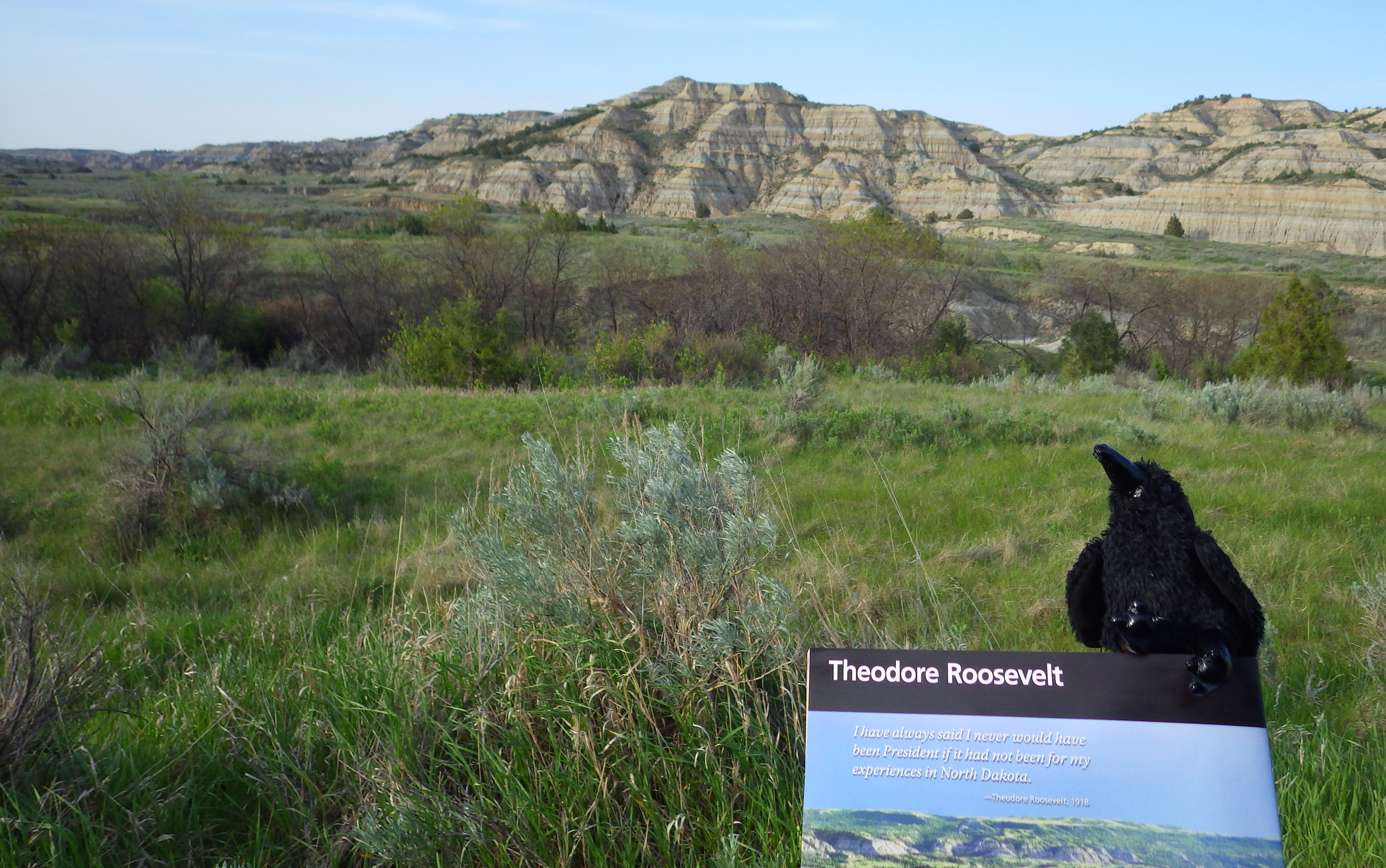
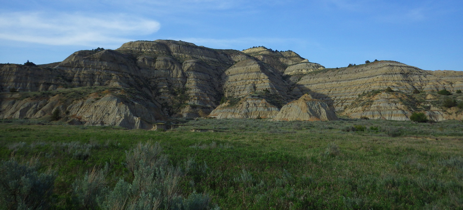
Located in western North Dakota, Theodore Roosevelt National Park is where Teddy came in 1883 to become a cattle rancher prior to his political career. The park is divided into a North and South Unit (in different Time Zones), each with impressive vistas and wildlife. It is home to a demonstration herd of longhorn steers and free-ranging wild horses, plus reintroduced bison, bighorn sheep, and elk.
Highlights
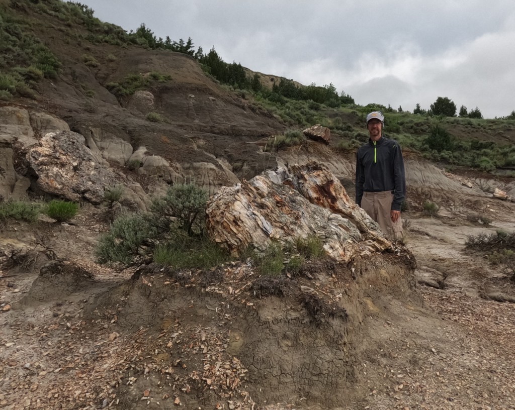
Historic cabin, badlands, petrified forest, wildlife, hiking
Must-Do Activity
Teddy Roosevelt’s Maltese Cross cabin was relocated to the park’s South Unit visitor center, which is easily accessible off Interstate 94, as is the Painted Canyon Overlook and trail. A portion of the 36-mile paved scenic loop road is closed indefinitely due to melting from a decades long underground coal fire.
Best Trail
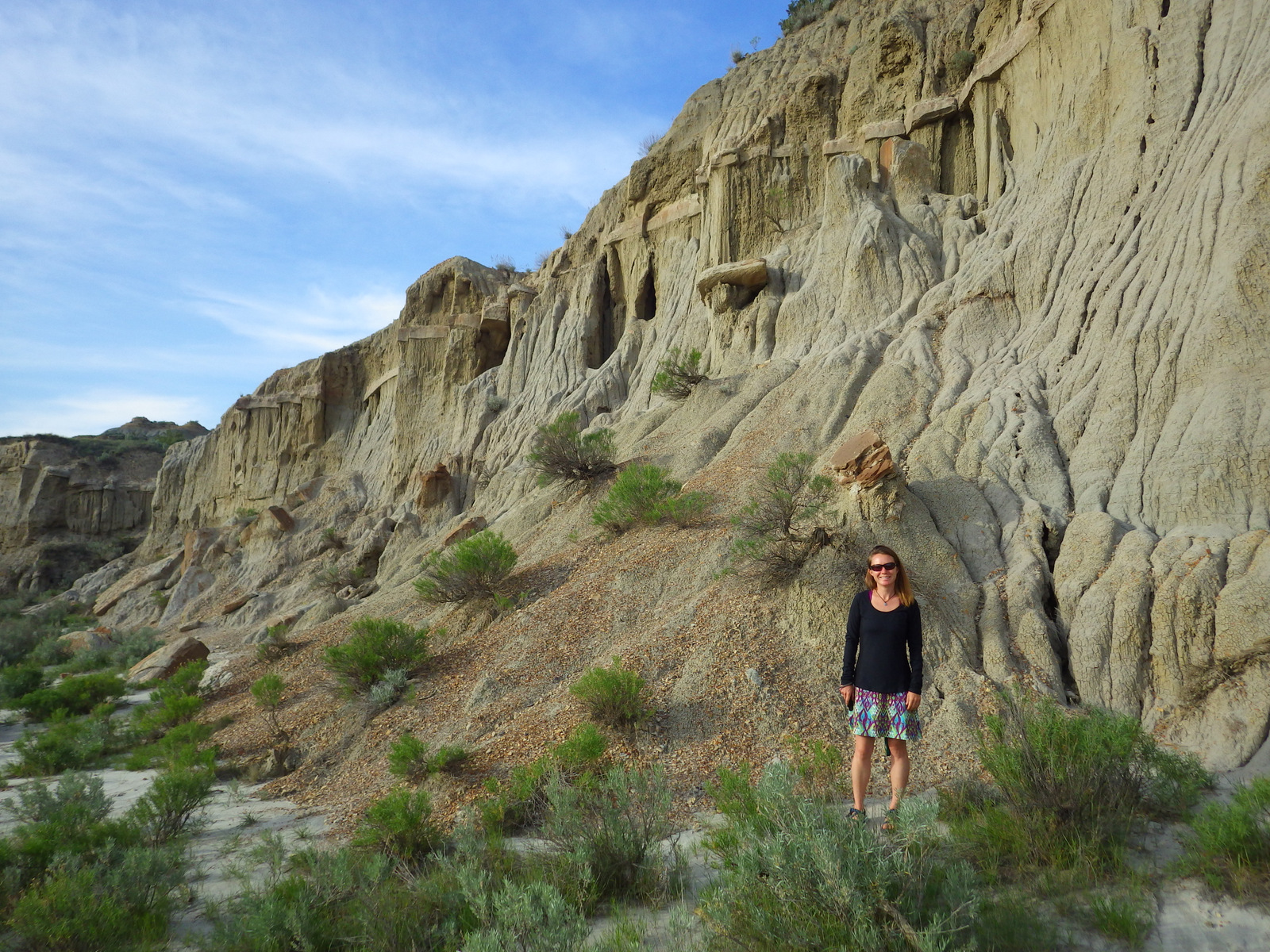
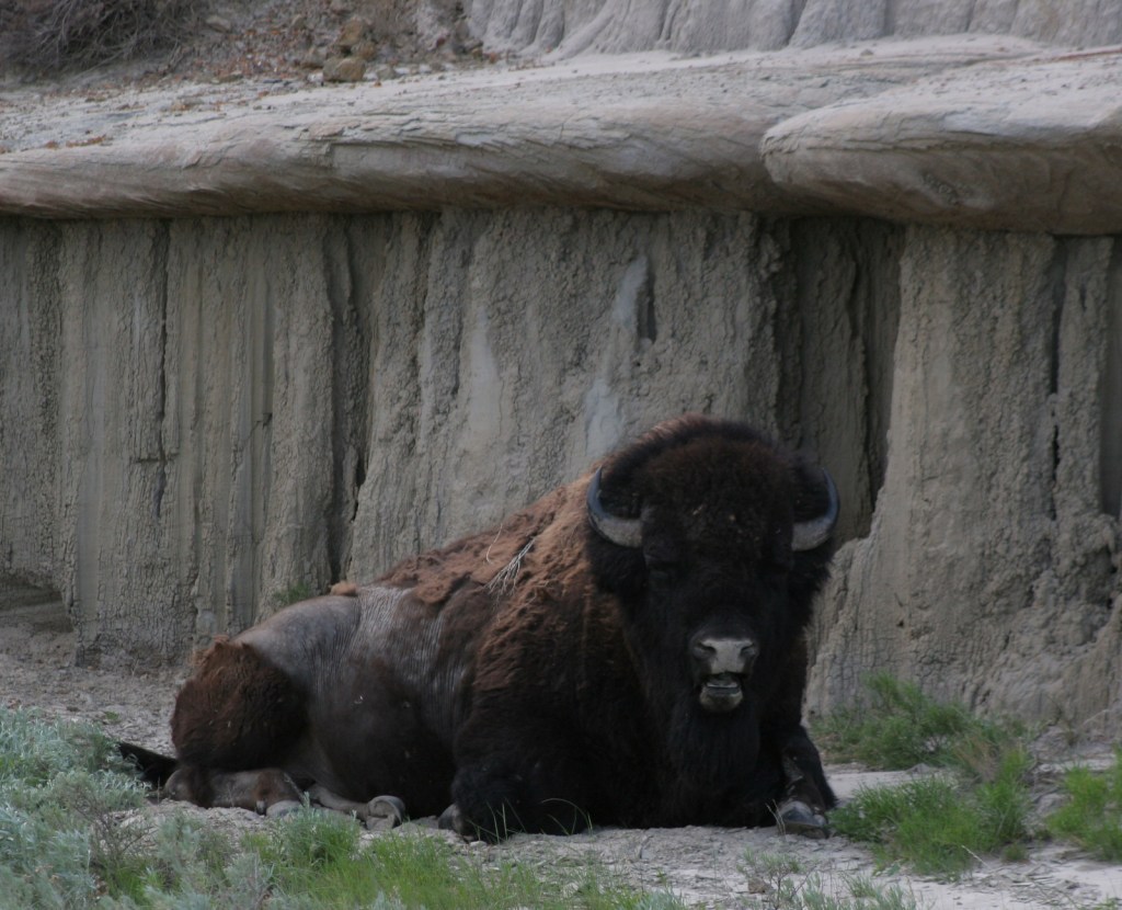
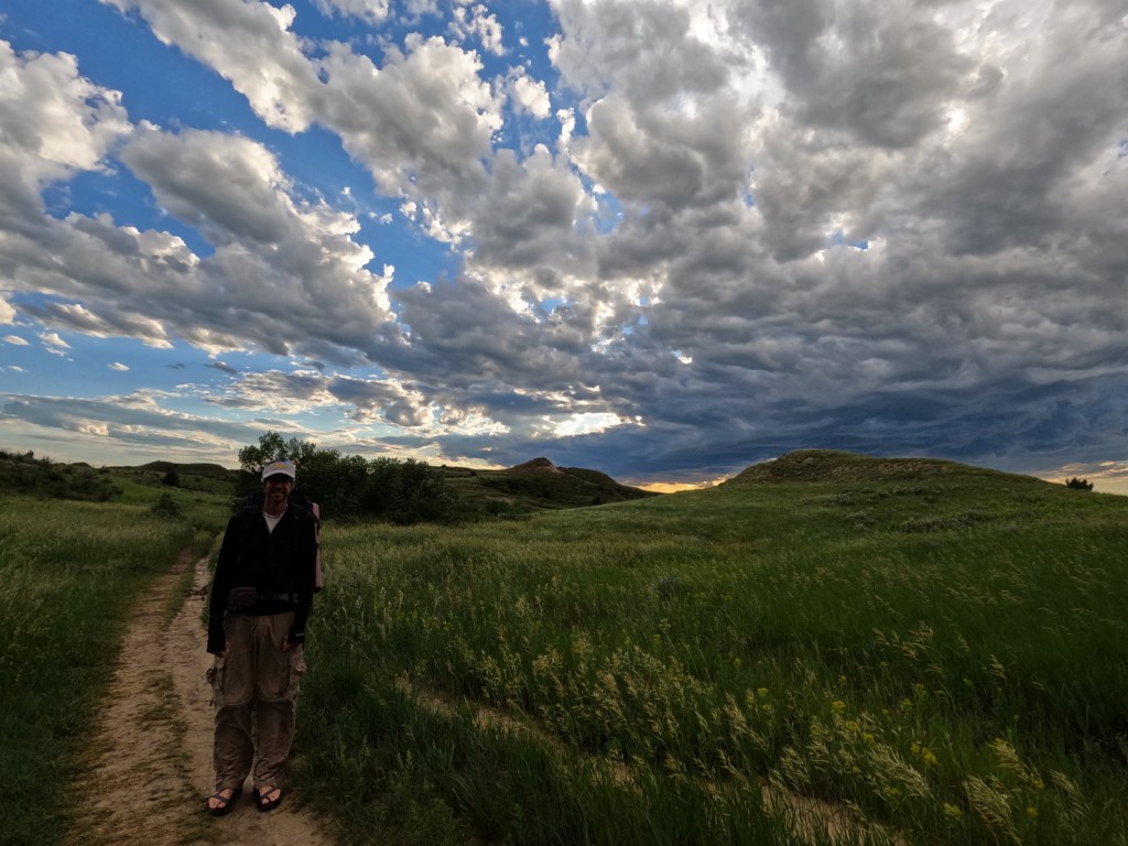
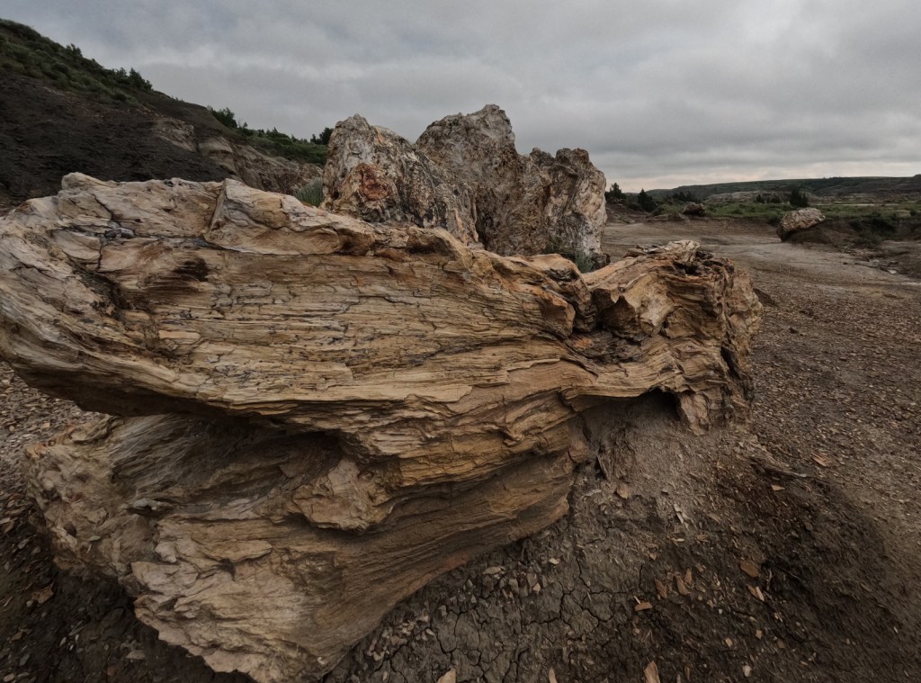
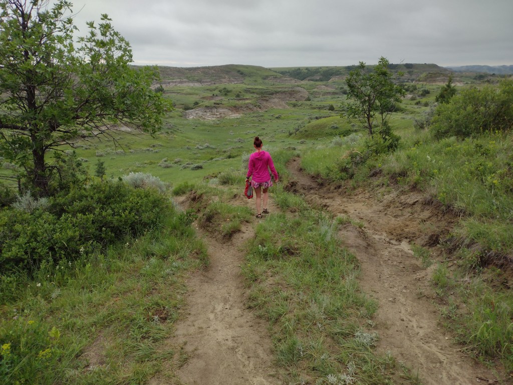
Wind Canyon Loop Trail in the South Unit is less than half a mile in length but offers an opportunity to walk on the eroding slopes of the badlands and an excellent vista of the Little Missouri River. We have also backpacked on the North Petrified Forest Trail, where we woke up near a sleeping bison bull (see photo below).
Instagram-worthy Photo
Cannonball concretions are sandstone spheres formed by groundwater and can be seen only in the North Unit badlands.
Peak Season
Summer, but late September has good fall colors.
Hours
https://www.nps.gov/thro/planyourvisit/hours.htm
Fees
$30 per vehicle or America the Beautiful pass
Road Conditions
The scenic drives are paved, and the gravel roads in the park are good enough for a passenger vehicle when dry, including the 60 mile drive to Elkhorn Ranch.
Camping
There are large campgrounds in both the North and South Unit.


Explore More – The death of which two important women in his life led Roosevelt to flee New York for North Dakota in 1884?