Tag Archives: history

Chaco Culture National Historical Park

Overview

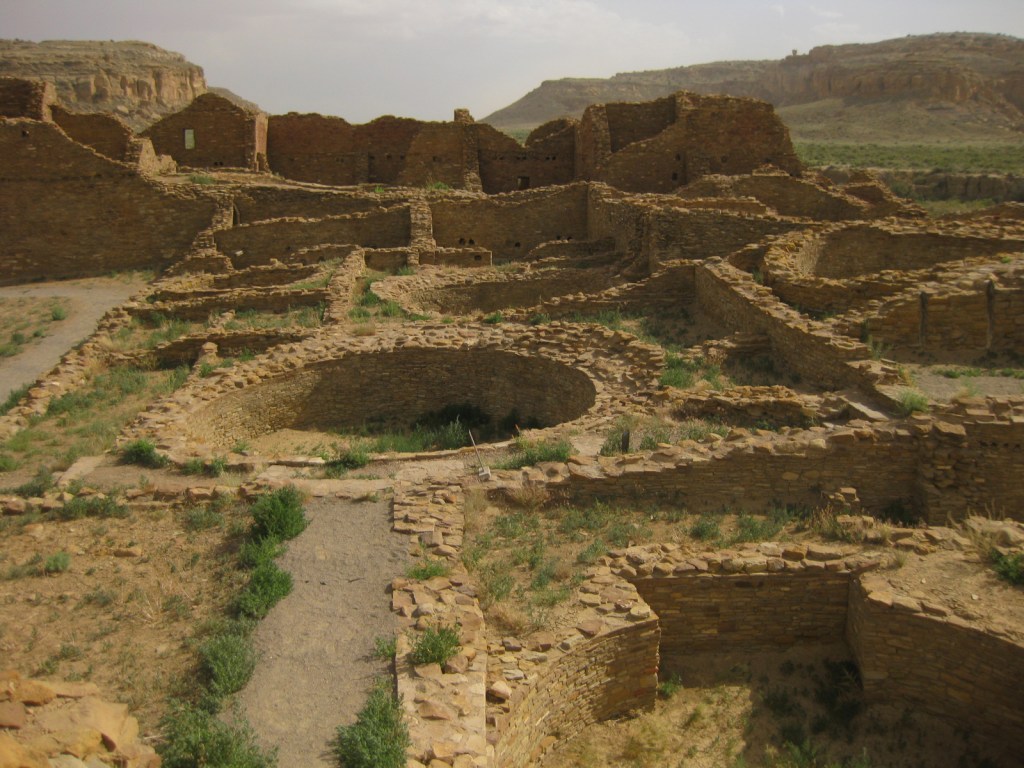
These expansive ruins built in the desert between AD850-1150 represent the best collection of Ancestral Puebloan architecture in the southwest U.S.  Over 400 miles of historic roads led to this ceremonial center.  Its multiple great houses were first protected in 1907 and can take days to explore fully. 

Highlights

Pueblo Bonito, Chetro Ketl, petroglyphs, supernova pictograph

Must-Do Activity

Walking through the short doorways inside D-shaped Pueblo Bonito, you can admire the intricacy of the walls that have stood over 1,000 years.  So much effort was put into building monumental structures in this challenging locale, then it was mysteriously abandoned, making this remarkable park is an awesome place to ponder human civilization, past and future.

Best Trail

A free backcountry permit is required to hike all trails in the park.  Our favorite passes Kin Kletso and Casa Chiquita 3 miles one-way to a unique pictograph that may depict a supernova that occurred in AD1054.

Instagram-worthy Photo

While mostly made of mud bricks, the wood used in the structures had to be carried over 50 miles from the nearest forests to reach this spot.  An estimated 200,000 trees were moved over 300 years of construction without the use of pack animals or wheels.

Peak Season

Summer, though it can be hot with no shade.

Hours

https://www.nps.gov/chcu/planyourvisit/hours.htm

Fees

$25 per vehicle or America The Beautiful pass

Road Conditions

All access roads to the park are dirt, with the recommended entry route via County Roads 7900 and 7950, 21 miles west of Highway 550.  The roads from the south are more difficult, especially when wet.

Camping

The small Gallo Campground lies within the park, but we recommend the free campground in Angel Peak Recreation Area run by the Bureau of Land Management east of Highway 550.

Explore More – Why do visitors strive to arrive for the summer and winter solstices each year?

Hopewell Culture National Historical Park

Overview

The Hopewell Culture was found in southern Ohio from approximately 2,200 to 1,500 years before present.  Sites are identified by their construction of geometric enclosures made of earth, primarily for burials.  Many earth mounds were plowed under for farms or destroyed during construction of an army base in Chillicothe during the 1910s, which increased awareness of these archaeological treasures.  In 1923, it was protected as Mound City Group National Monument and in 1992 expanded to become Hopewell Culture National Historical Park.

Highlights

Indian mounds, museum, film from 2016

Must-Do Activity

The National Park Service (NPS) visitor center in Chillicothe is small but has had recent updates, including the excellent film and displays of beautifully intricate artwork in the museum.  From there you can walk to the Mound City Group on the Scioto River.  Most of these 23 mounds are less than four feet tall, but the largest mound in the area was 33 feet high. 

Best Trail

At separate portions of the National Historical Park, Tri-County Triangle bike path passes near the Hopewell Mound Group and the Ohio Historical Society maintains Seip Earthworks, 17 miles west of Chillicothe on Highway 50.  Two other protected earthworks are closed to the public.

Instagram-worthy Photo

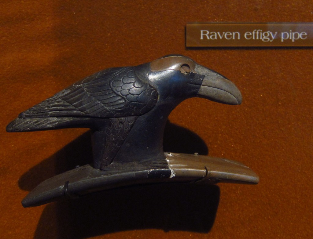
The Hopewell Culture must have had an extensive trading network to obtain the shells, copper, obsidian, and sharks’ teeth which have been excavated from their burial mounds and displayed artfully in the NPS museum.

Peak Season

Open year round

Hours

https://www.nps.gov/hocu/planyourvisit/hours.htm

Fees

None

Road Conditions

All roads paved or good gravel

Camping

There are private campgrounds in Chillicothe and state parks within 30 miles, including the scenic Hocking Hills.

Explore More – Where in today’s United States of America did the copper and obsidian found here originate?

Poverty Point National Monument

Overview

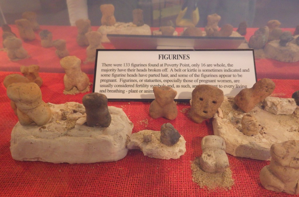
Mound builders historically settled near major rivers, especially the Ohio and Mississippi, because the floodplains provided fertile soil for farming.  However, Poverty Point was settled 3,700 years ago by hunter-gatherers so efficient they did not need agriculture to provide leisure time.  They built a city with a population estimated at 1,500 along Bayou Macon in northeast Louisiana. 

Highlights

72-foot-tall Mound A, film, tram tour

Must-Do Activity

A guided tram ride with a State Park ranger is included in your admission fee, which in addition to the film shown in the State Park visitor center is the best way to learn about this site.  The tram tour does not stop to allow visitors to climb Mound A, so you will have to return in your own vehicle.

Best Trail

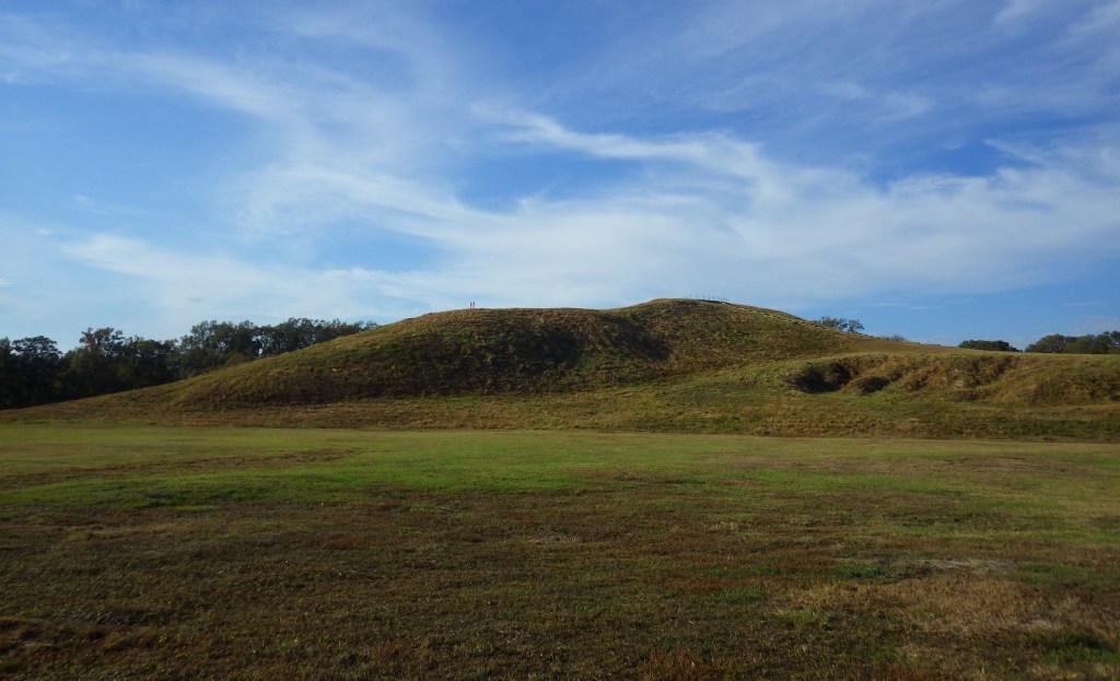
A stairway leads to the top of Mound A, the most impressive mound at 72 feet tall in the shape of a bird with a 70-foot-wide base.  It required approximately 15-million basket loads of soil to complete.  They had no wheelbarrows or domesticated animals for assistance, so each basket was carried by hand to form the largest manmade structure in North America at the time.  No wonder this site was chosen in 2014 as a UNESCO World Heritage Site.

Instagram-worthy Photo

The inhabitants constructed other mounds and built their houses atop concentric rings in a semi-circle D-shape facing towards Bayou Macon.  This pattern is best seen from atop Mound A.

Peak Season

The tram tour operates March through October.

Hours

https://www.nps.gov/popo/planyourvisit/hours.htm

Fees

$4 per adult for general admission or $10 for the tram tour, and America the Beautiful passes are no longer accepted.

Road Conditions

All roads paved

Camping

There are private campgrounds nearby or 40 miles away is Chemin-A-Haut State Park.

Related Sites

Hopewell Culture National Historical Park (Ohio)

Ocmulgee Mounds National Historical Park (Georgia)

Effigy Mounds National Monument (Iowa)

Nearest National Park

Hot Springs

Explore More – Why will you not find any National Park Service logos at this National Monument?

Alibates Flint Quarries National Monument

Overview

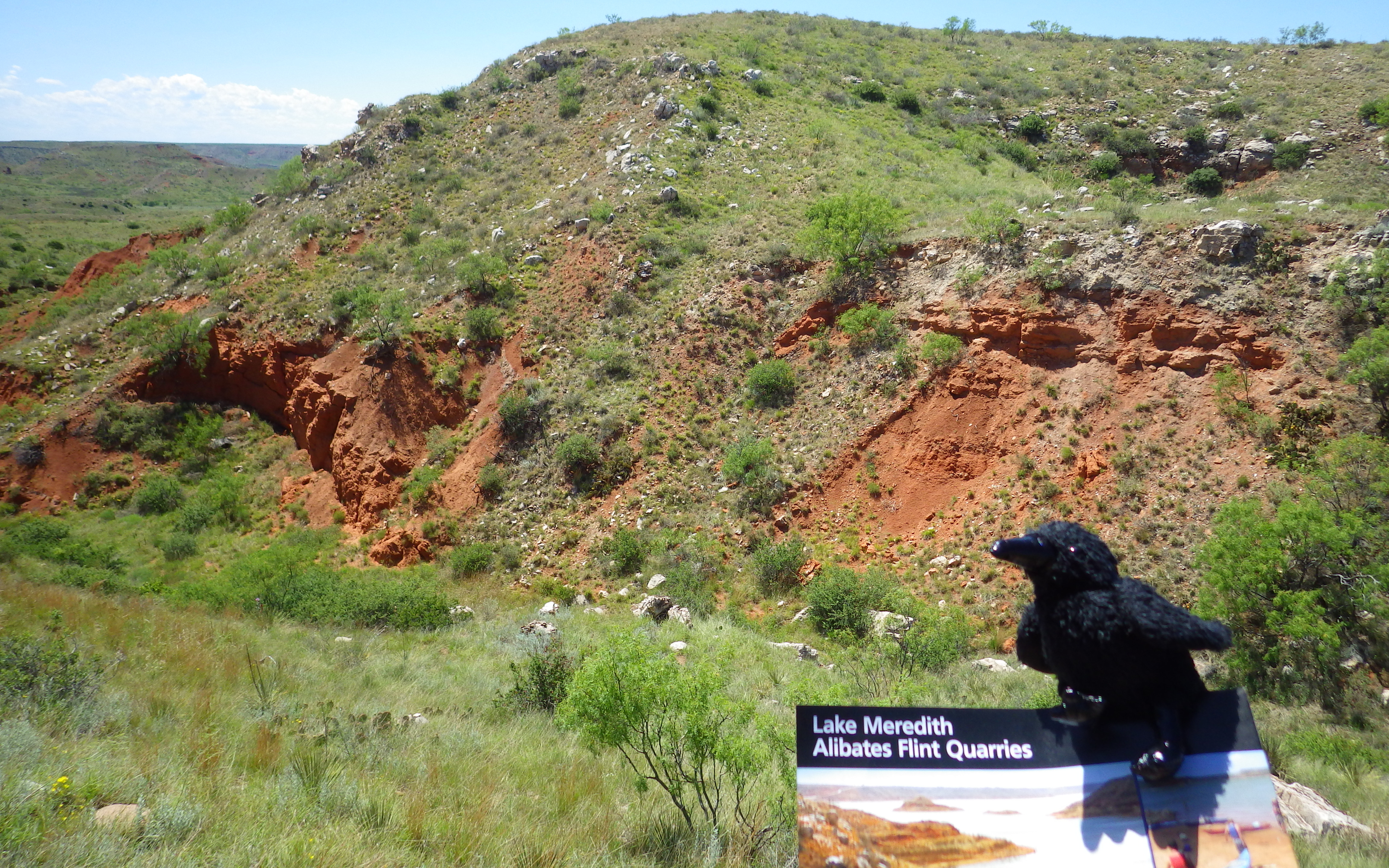
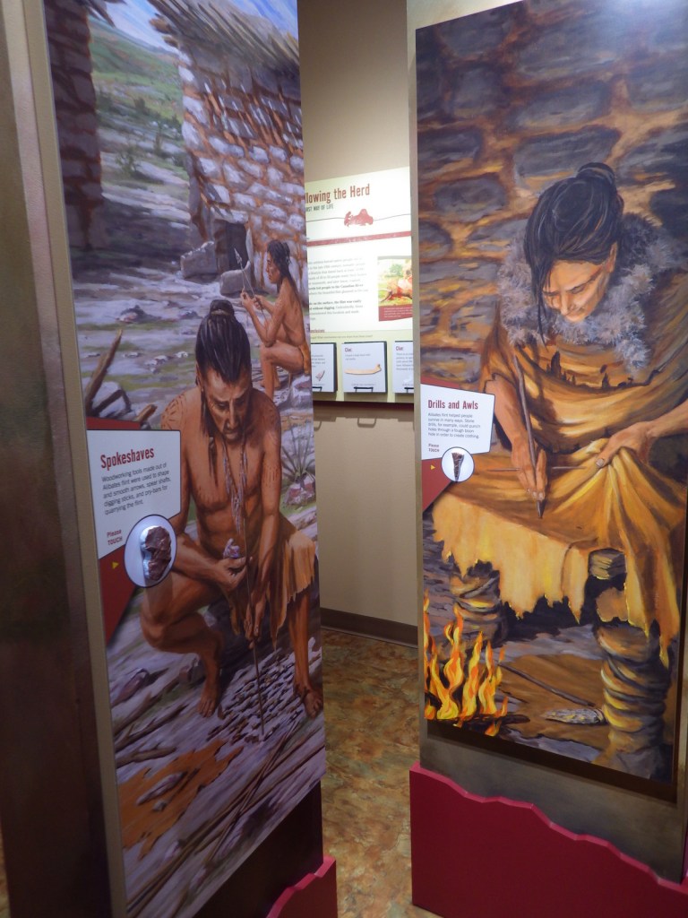
Quarrying in this part of the panhandle of Texas dates back 13,000 years to the last Ice Age.  The flint found here was especially good for making spear points and was traded across the continent over the centuries.  However, the harsh climate meant few humans lived here until recently, except between AD1200 and 1450.  Alibates Flint Quarries National Monument is jointly managed with Lake Meredith National Recreation Area by the National Park Service (NPS).

Highlights

Flint knapping demonstrations, 10-minute film, ranger-guided tour of quarries

Must-Do Activity

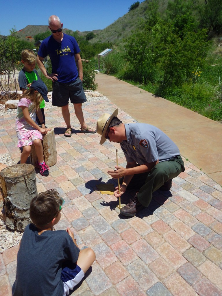
Outside the NPS visitor center, dedicated park rangers frequently demonstrate the art of knapping points from flint blanks (not from within park boundaries) and other primitive survival skills. 

Best Trail

We recommend you take the free ranger-guided tour (offered twice daily) up to the quarries to get the full experience.  It is a bit of a climb, but is the only way access the sites.

Instagram-worthy Photo

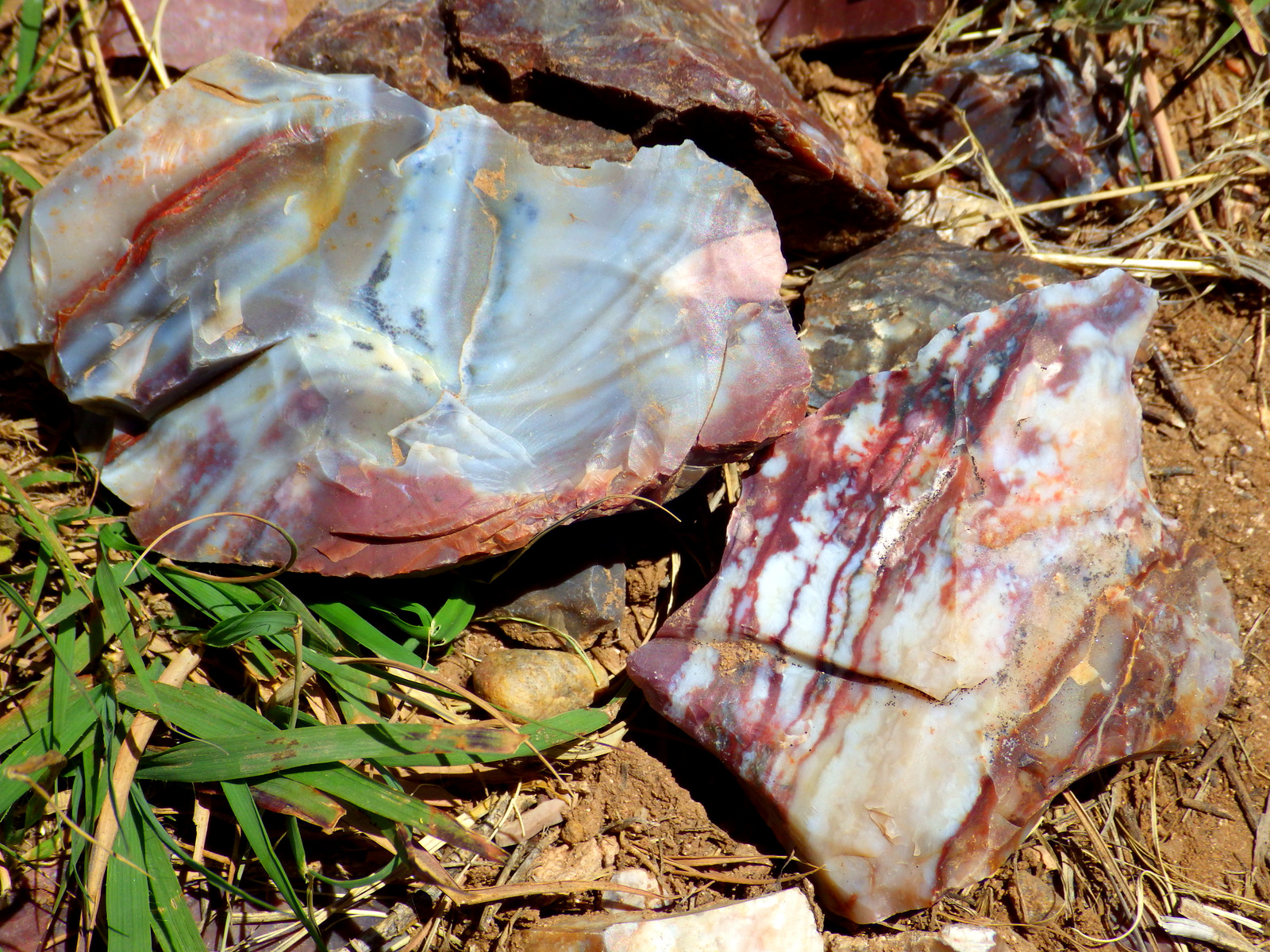
The flint here not only holds a great edge, it is also beautifully colored.  The rangers will be happy to let you take rock samples home from knapping demonstrations (since the flint is not from within park boundaries).

Peak Season

Spring and fall, as it can be very hot in the summer.

Hours

https://www.nps.gov/alfl/planyourvisit/hours.htm

Fees

None

Road Conditions

Paved to the National Monument and many good dirt roads surround Lake Meredith National Recreation Area.

Camping

Free primitive camping is available around Lake Meredith where there are many dirt roads to explore, as well as developed campgrounds (fee).

Explore More – What is the origin of the interesting name “Alibates?”

Klondike Gold Rush National Historical Park

Overview

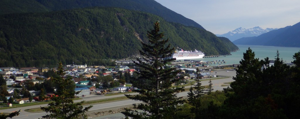
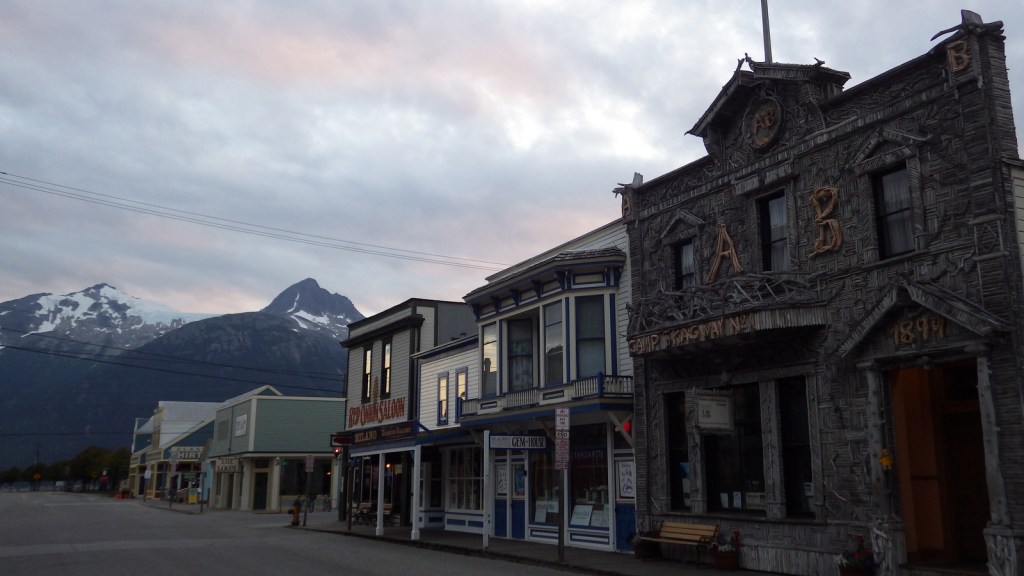
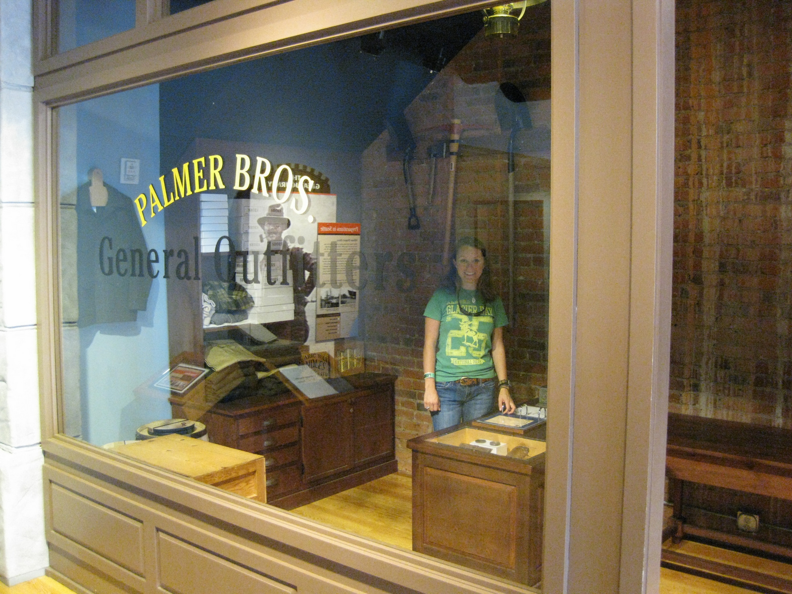
Broadway in Skagway, Alaska still looks much like it did during the 1897 gold rush, lined with boardwalks and bustling with activity, especially when a cruise ship is docked.  Paved streets instead of mud are one major difference between now and when 30,000 stampeders came here aboard ships from Seattle.  The National Park Service (NPS) visitor center is located inside the old railway depot and the NPS owns several other historic structures including the Mascot Saloon and Jefferson “Soapy” Smith’s Parlor.  The NPS also runs a free museum in downtown Seattle, Washington inside the historic Cadillac Hotel.

Highlights

Mascot Saloon, Gold Rush Cemetery, Lower Reid Falls, Chilkoot Trail, Cadillac Hotel museum (Seattle)

Must-Do Activity

Start at the visitor center with the 25-minute introductory film then wander the boardwalks up Broadway to see historic false-front buildings that never burned since the 1897 gold rush.  If you want to learn more about the infamous “Soapy” Smith and laugh really hard, then I recommend purchasing tickets to the Days of ’98 Show offered multiple times daily in the summer. 

Best Trail

The NPS cooperatively manages the Chilkoot Trail with Parks Canada who issues all permits (in Skagway) for backpacking the 33-mile trail.  The trailhead is in the ghost town of Dyea, about 12 miles west of bustling Skagway.  Almost every trekker takes 3 to 5 days to hike one way into Canada and return on the White Pass Railroad.  It is cheaper to only hike the U.S. side and spend two nights at the always empty Pleasant Camp.

Instagram-worthy Photo

During the winter of 1897-98, over 30,000 people hauled one-ton of food and gear per person over the 3,501-foot Chilkoot Pass on their way to the Yukon Territory.  Photograph the 100% slope of the “Golden Stairs” in the summer, as it can be nearly impossible to access in winter.

Peak Season

Summer due to cruise ships and the fact that the rest of the year experiences heavy snowfall.

Hours

https://www.nps.gov/klgo/planyourvisit/hours.htm

Fees

It is free to explore downtown Skagway’s buildings, but overnight backpacking on the Chilkoot Trail has fees ($20.30 per person for U.S.-side only) and is limited to only 50 permits per day to cross the border into Canada.

Road Conditions

Paved to Skagway and the dirt road to Dyea is good enough for all vehicles.

Camping

There is a car campground in Dyea.  Specific backcountry campsite permits (like Sheep Camp) can fill up early.

Explore More – How many times did the average stampeder have to ascend the Golden Stairs to haul one-ton of food and gear over 3,501-foot Chilkoot Pass?