Tag Archives: history

Virgin Islands National Park

Overview

More than half the island of St. John is part of Virgin Islands National Park, a Caribbean paradise known for its white sand beaches and crystal waters.  The National Park also includes 95% of Hassel Island, which was once a peninsula connected to St. Thomas.  The region is still recovering after Hurricanes Irma and Maria did extensive damage in 2017, but did not seem to affect the sugar mill ruins that have been standing since the 1720s.

Highlights

Trunk Bay, Maho Bay, Annaberg Sugar Mill, Petroglyph Trail, Saltpond Bay

Must-Do Activity

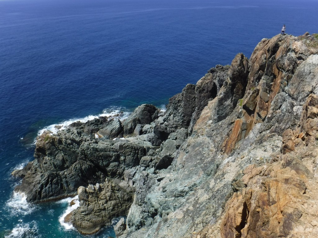
Snorkeling is the number one reason to visit St. John, which is surrounded by coral reefs.  The Underwater Trail in popular Trunk Bay is a good place to start, but our favorite spot to snorkel was from the beautiful beach at Saltpond Bay where we saw sea turtles, reef squids, and countless other species.  From the beach a trail leads 1.8 miles roundtrip to the 200-foot high cliffs at Ram Head.

Best Trail

Reef Bay Trail starts near the island’s high point at 900 feet in elevation, then descends 1.5 miles to the split for Petroglyph Trail where the rocks around a seasonal waterfall have several Taino carvings.  Reef Bay Trail continues another mile to the ruins of a sugar mill where ranger-led hikes (fee) are met by a boat.

Instagram-worthy Photo

A small, paved pulloff at the top of a hill on North Shore Road looks east towards the white sand beaches of Trunk Bay, an image used in almost every promotional publication for St. John. 

Peak Season

Winter

Hours

https://www.nps.gov/viis/planyourvisit/hours.htm

Fees

None, except when lifeguards are on duty at Trunk Bay.

Road Conditions

Two narrow, winding, paved routes (North Shore and Centerline Roads) leave from Cruz Bay where the ferries arrive.  Several dirt roads require four-wheel-drive, including Catherineberg Road.  Note: you drive on the left side of the road in the U.S. Virgin Islands, but in standard American left-side driver seat vehicles.

Camping

None on the island of St. John until the NPS reopens Cinnamon Bay Campground, which closed following the 2017 hurricanes.

We created this design to celebrate Virgin Islands National Park and it is available on a variety of products at Cafe Press and Amazon.

Explore More – How long did the violent slave revolt in 1733 last before French troops arrived on St. John to return slaves to the sugarcane plantations?

We are a participant in the Amazon Services LLC Associates Program, an affiliate advertising program designed to provide a means for us to earn fees by linking to Amazon.com and affiliated sites.

Agate Fossil Beds National Monument

Agate Fossil Beds National Monument

Nebraska

Managed by National Park Service

Established 1997

3,058 acres

Website: nps.gov/agfo

Overview

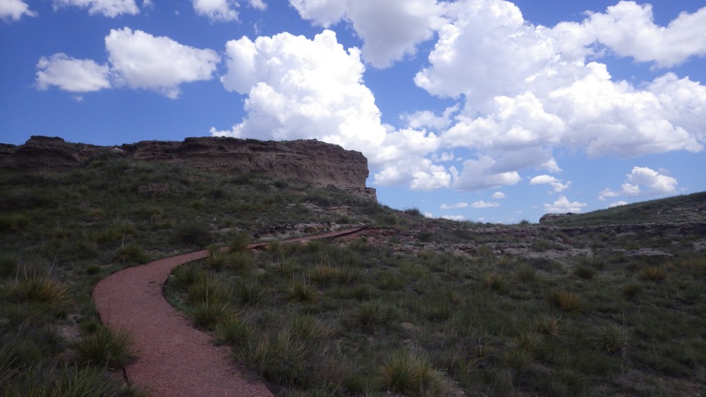
Ancient mammal bones from Agate Fossil Beds can be found in museums around the world.  Excavations began at Carnegie Hill in 1904 and soon thereafter at University Hill to be shipped back to Lincoln, Nebraska.  You would never guess at the thousands of fossils removed from these nondescript hills while hiking the 2.7 miles across the prairie from the National Park Service (NPS) visitor center.

Know someone who loves exploring new National Monuments? Gift them our book Monumental America: Your Guide to All 138 National Monuments that is available for sale on Amazon.com.

Highlights

Museum, film, James H. Cook collection, Daemonelix Trail

Must-Do Activity

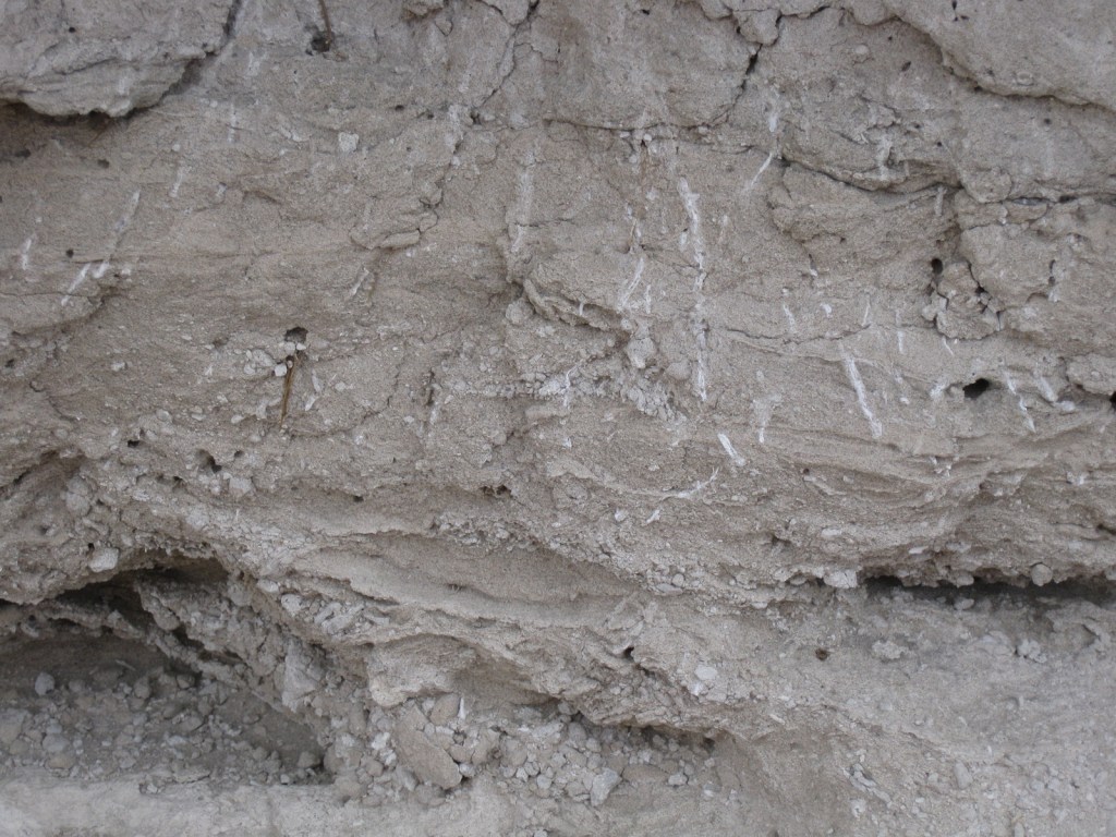
The NPS visitor center has an excellent display of the 20-million-year-old inhabitants of this spot, as well as the excellent James H. Cook collection of American Indian artifacts.  You can also learn about the mystery of the daemonelix, a corkscrew burrow which baffled researchers until it was eventually discovered to have been formed by palaeocastor, an ancestral land beaver.  

Best Trail

The Daemonelix Trail on the west side of the National Monument allows you to get an up close view of one of the palaeocastor’s corkscrew burrows.  A cast of this exact same formation is on display at the Smithsonian Museum of Natural History in Washington D.C.

Instagram-worthy Photo

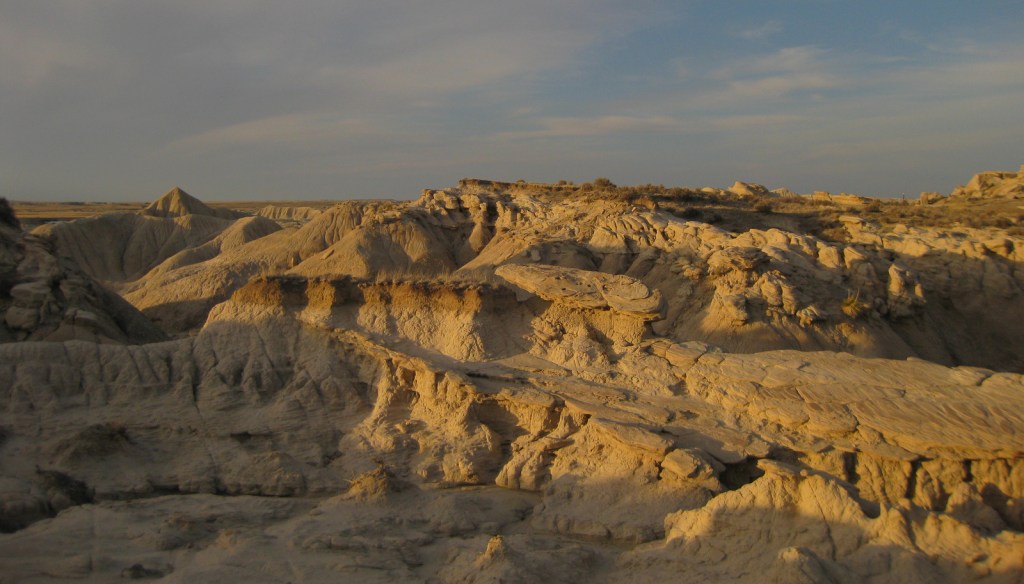
Northwest of the National Monument in Oglala National Grassland, Toadstool Geologic Park is a beautiful badlands that is best photographed at sunset.  While exploring its trails, look for fossilized bones and trackways, plus be sure to visit the Hudson-Meng Education and Research Center, which is open in the summer.

Peak Season

Summer

Hours

https://www.nps.gov/agfo/planyourvisit/hours.htm

Fees

None

Road Conditions

The entrance road from Highway 29 in the west and through the park is paved, but turns to well-graded gravel east of the National Monument.

Camping

No camping within the National Monument, but there is a free primitive campground at Toadstool Geologic Park in Oglala National Grassland.  Fort Robinson State Park offers camping, cabin rentals, and accommodations in former military barracks.

Related Sites

Scotts Bluff National Monument (Nebraska)

Jewel Cave National Monument (South Dakota)

Badlands National Park (South Dakota)

Nearest National Park

Wind Cave

Explore More – How did the frontiersman James H. Cook collect the impressive array of American Indian artifacts now on display in the NPS visitor center?

Fossil Butte National Monument

Wyoming

Managed by National Park Service

Established 1972

8,198 acres

Website: nps.gov/fobu

Overview

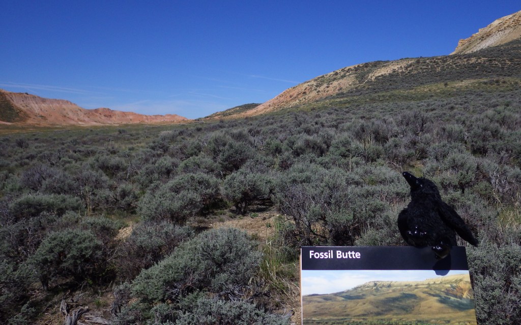
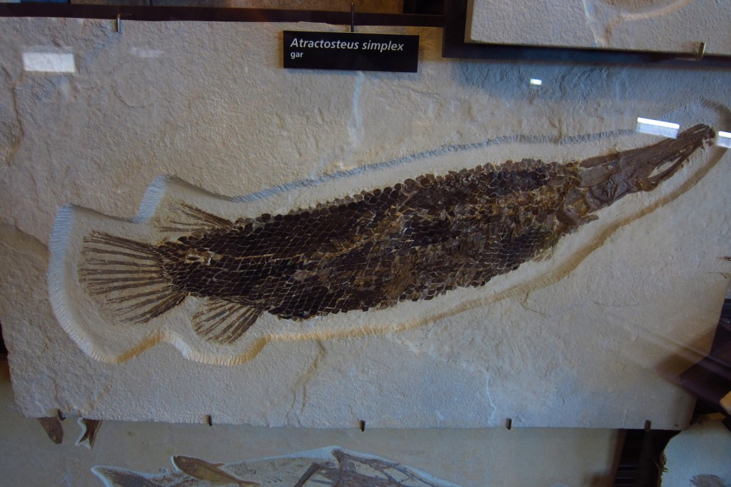
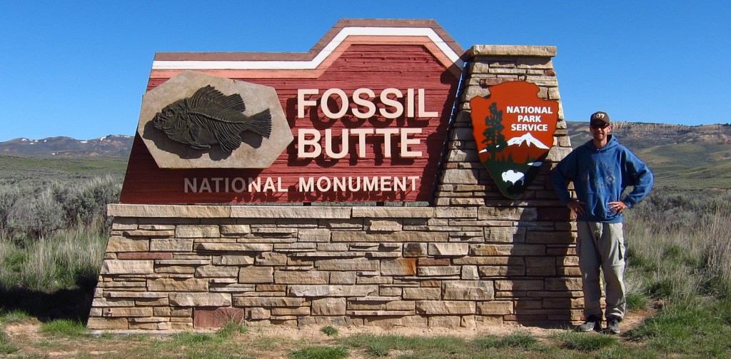
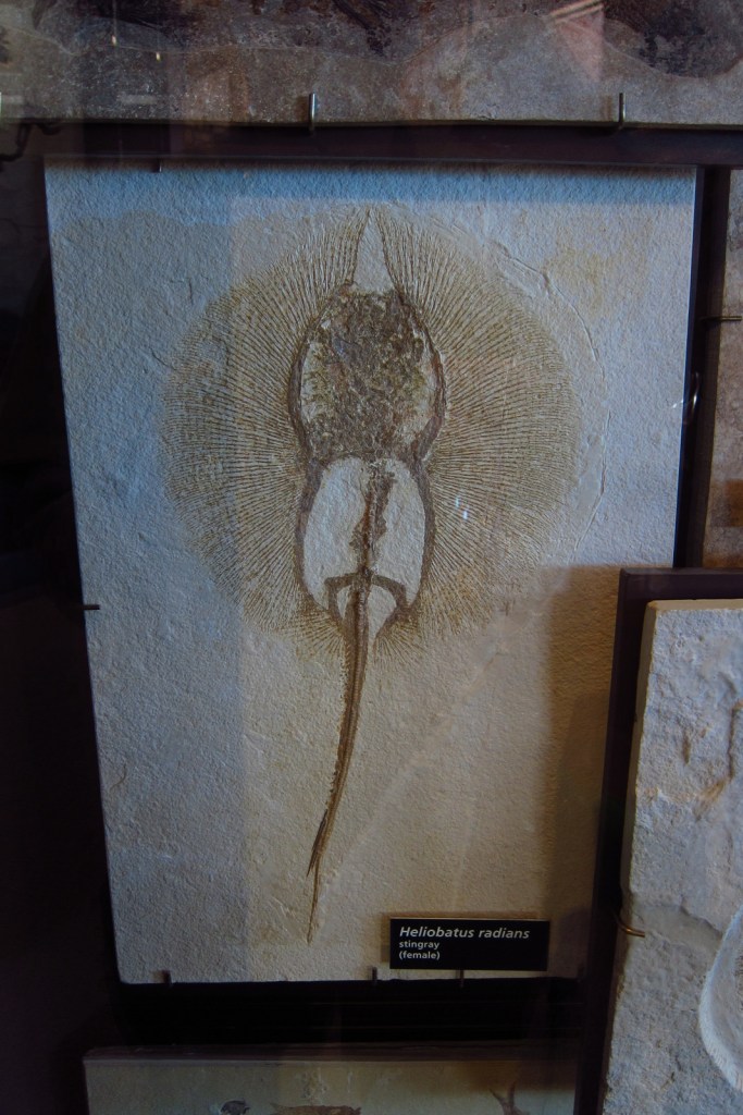
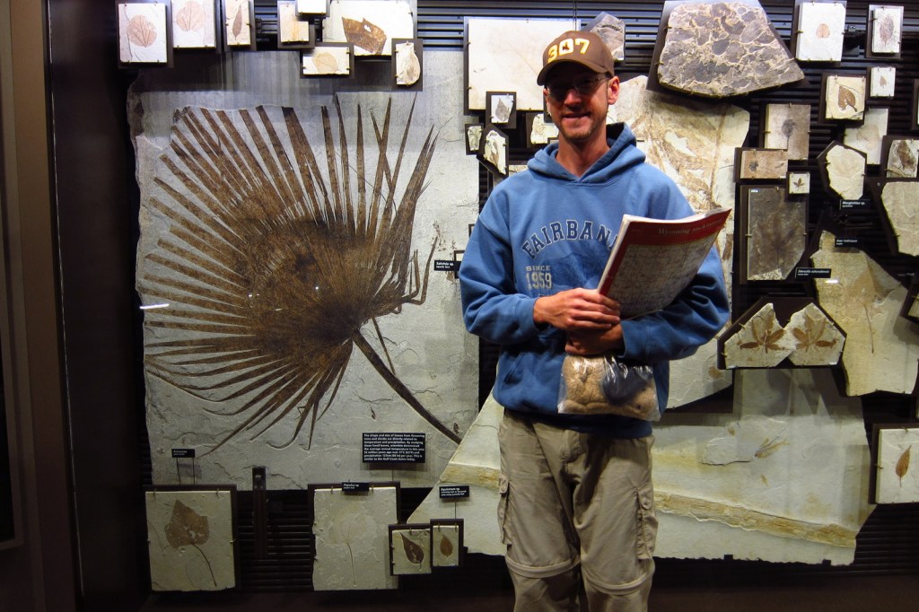
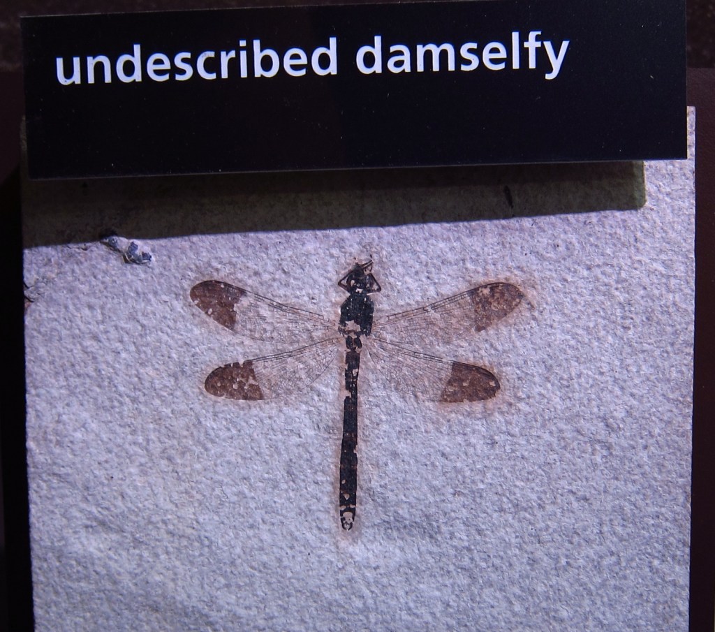
Exactly 100 years after the creation of Yellowstone National Park, another Wyoming site was added to the National Park Service (NPS) system in 1972: Fossil Butte National Monument.  It is dedicated to 50-million-year-old fossils found in an ancient subtropical lakebed, including plants (like palms and ferns) and animals (like turtles and lemurs). 

Know someone who loves the National Monuments? Gift them our travel guidebook Monumental America: Your Guide to All 138 National Monuments that is available for sale on Amazon.com.

Highlights

NPS museum, film, Fossil Lake Trail, Historic Quarry Trail

Must-Do Activity

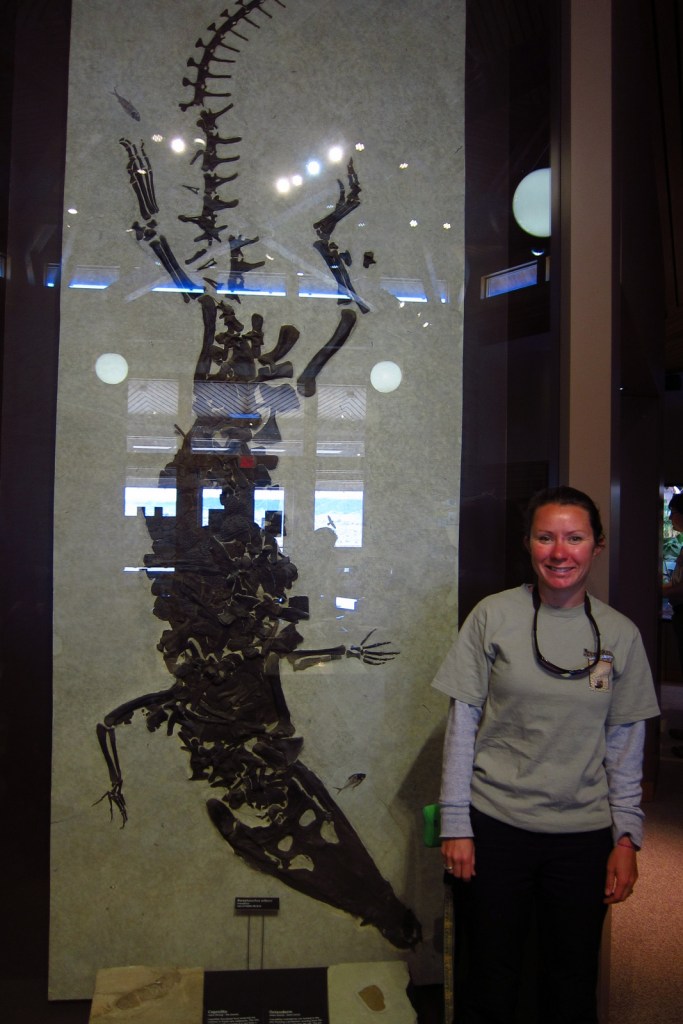
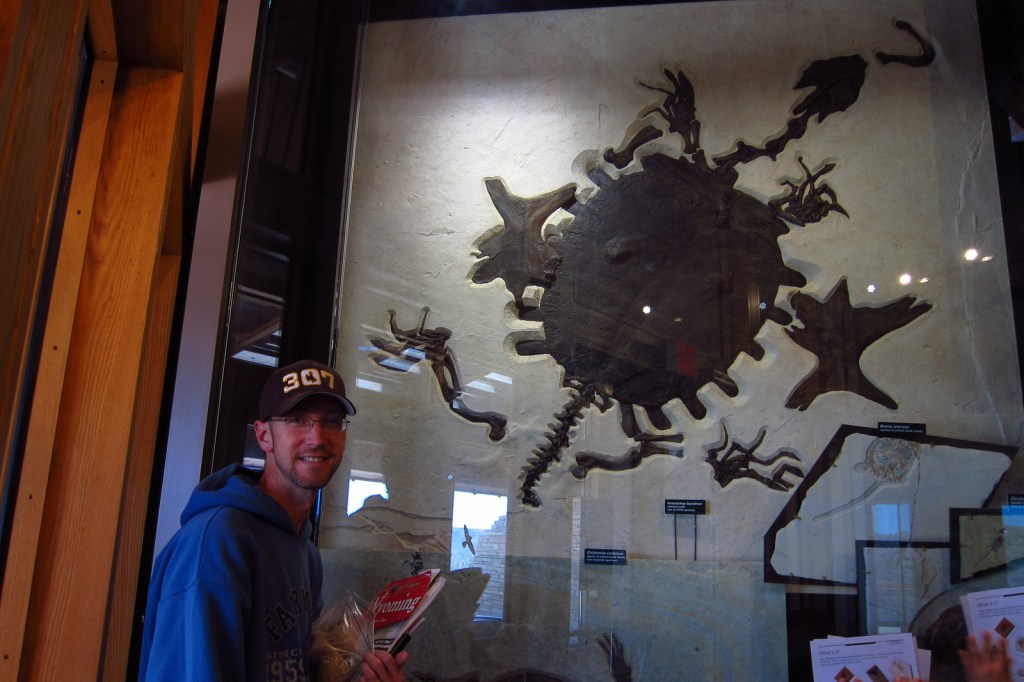
Even 50-million years ago it was windy in Wyoming!  The excellent preservation of the fossils may be in part due to high winds that kept surface water well-oxygenated while deeper waters were stagnant.  If you need to get out of the wind, head into the visitor center to see fossil fish, turtles, and other species on display.  On the deck outside there is an awesome timeline that traces CO2 levels and life on Earth throughout geologic time.

Best Trail

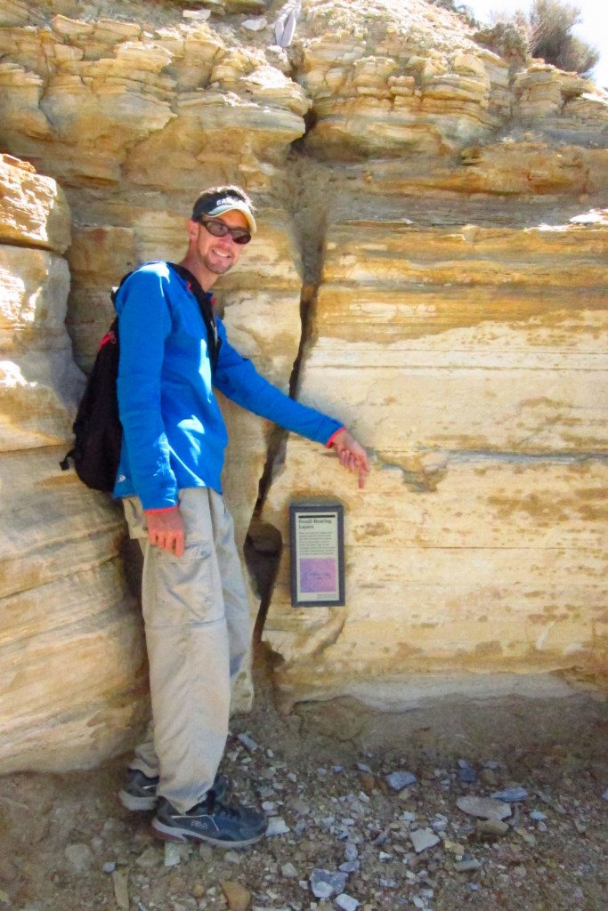
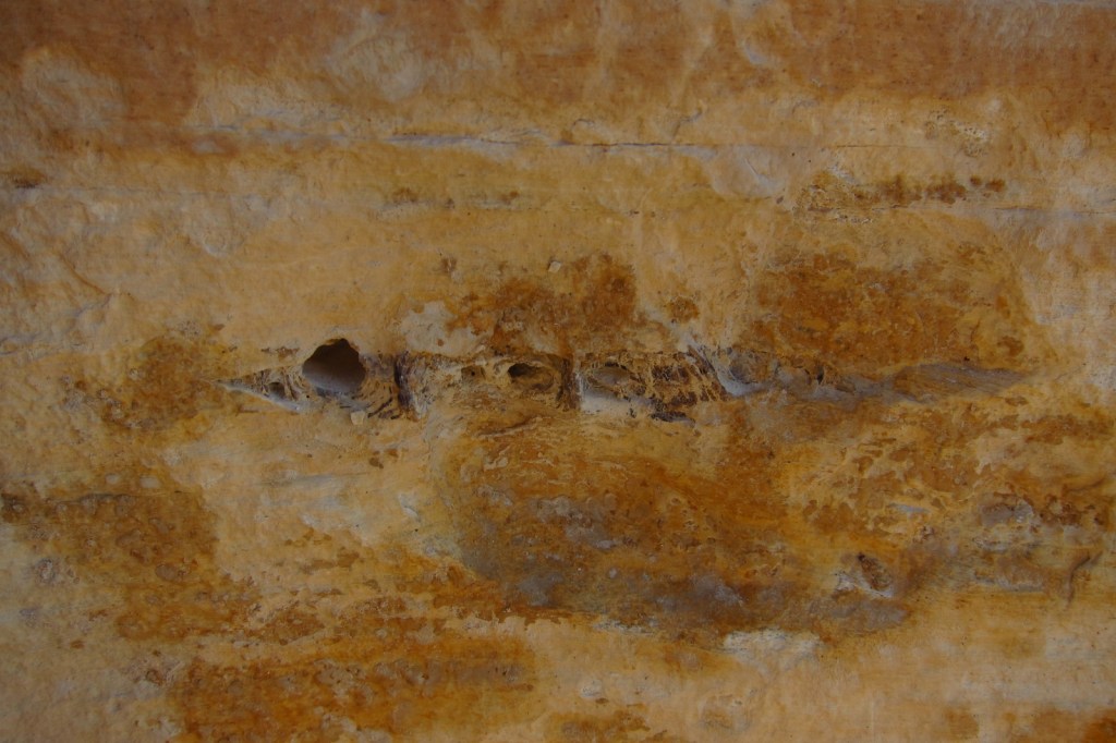
Take the steep steps up the Historic Quarry Trail to find fish fossils still in the rocks.  There is no shade along the trail, but even in the summer the weather is usually not that hot at 7,000 feet in elevation.  From the picnic area, the 1.5-mile Fossil Lake Trail leads to aspen groves.

Instagram-worthy Photo

Get up close with fossils that stand out against the white bedrock in the NPS museum or on the Historic Quarry Trail.  On private land nearby, you can pay to excavate your own fish fossils that you get to keep.

Peak Season

Summer

Hours

https://www.nps.gov/fobu/planyourvisit/hours.htm

Fees

None

Road Conditions

Entrance road is paved

Camping

None within the National Monument, but to the north Bridger-Teton National Forest provides opportunities for dispersed camping.

Related Sites

Yellowstone National Park (Wyoming-Montana-Idaho)

Bridger National Forest (Wyoming)

Devils Tower National Monument (Wyoming)

Nearest National Park

Grand Teton

Explore More – Kemmerer, Wyoming is home the very first example of which well-known department store?

Learn more about the other 137 National Monuments in our book Monumental America: Your Guide to All 138 National Monuments

Grant-Kohrs Ranch National Historic Site

Overview

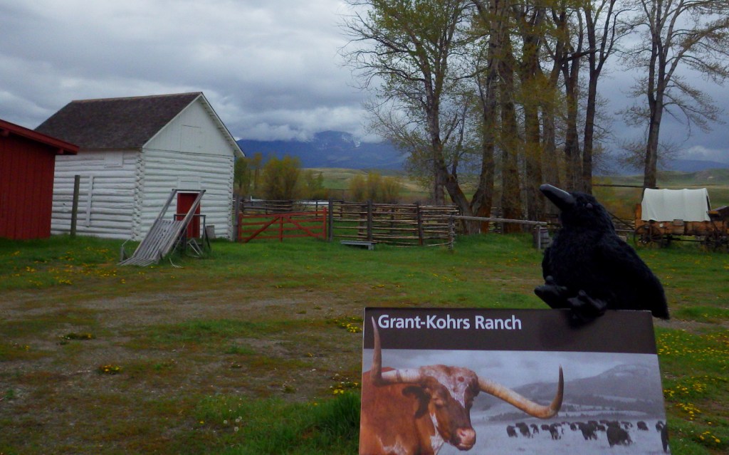
This site in Deer Lodge, Montana commemorates the late-1800s lifestyle of cattle barons and cowboys.  In 1866, Conrad Kohrs bought this ranch from Johnny Grant and went on to amass a huge cattle herd that grazed across 10-million acres of public land from Colorado to Canada.  Today this remains a working ranch with the sounds and smells of horses, cattle, and poultry.

Highlights

Working cattle ranch, living history demonstrations

Must-Do Activity

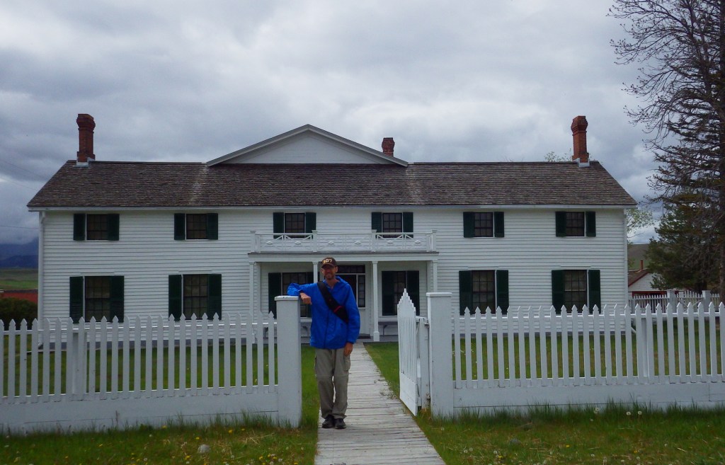
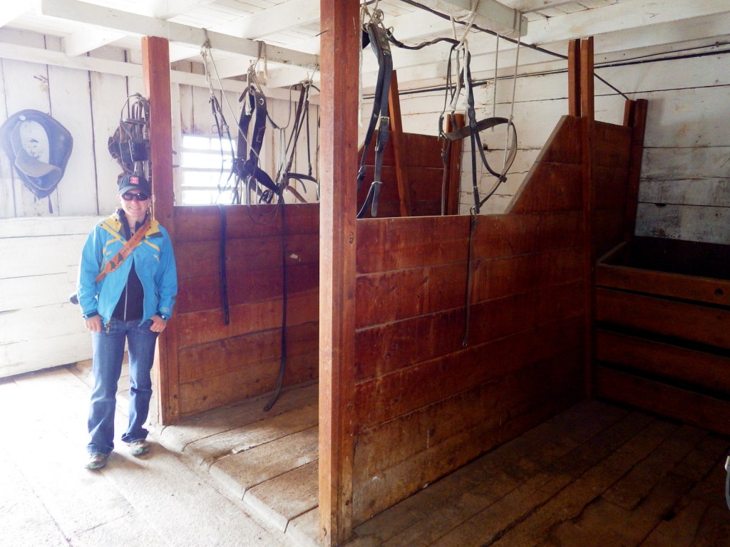
There is no admission fee and a free guided tour is offered inside the large ranch house originally built by Johnny Grant in 1862, with a brick addition doubling its size in 1890.  After the tour, you can practice your roping skills on cattle dummies.  Be sure to stop by the blacksmith shop to ask the volunteer there about all the different types of horseshoes on display.  Inside the Buggy Shed you can see the elaborate harnesses once used on the huge Belgian draft horses that still work here at the ranch.

Best Trail

You step back into the 1800s when you walk the quarter-mile trail from the National Park Service (NPS) visitor center to the Grant-Kohrs Ranch.  A self-guided walking tour enters 15 buildings with displays on the history of cowboys, barbwire, branding irons, and so much more.  There are a total of 7 miles of walking paths on the property, including a nature trail along Cottonwood Creek.

Instagram-worthy Photo

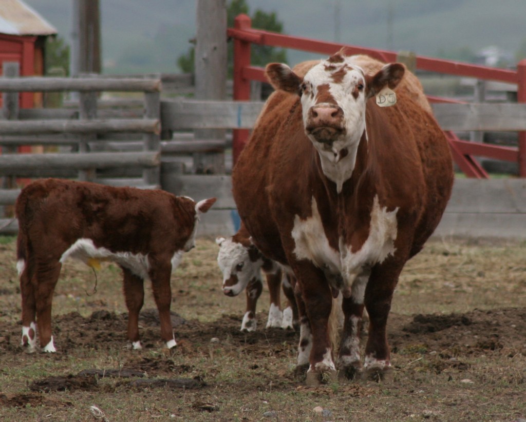
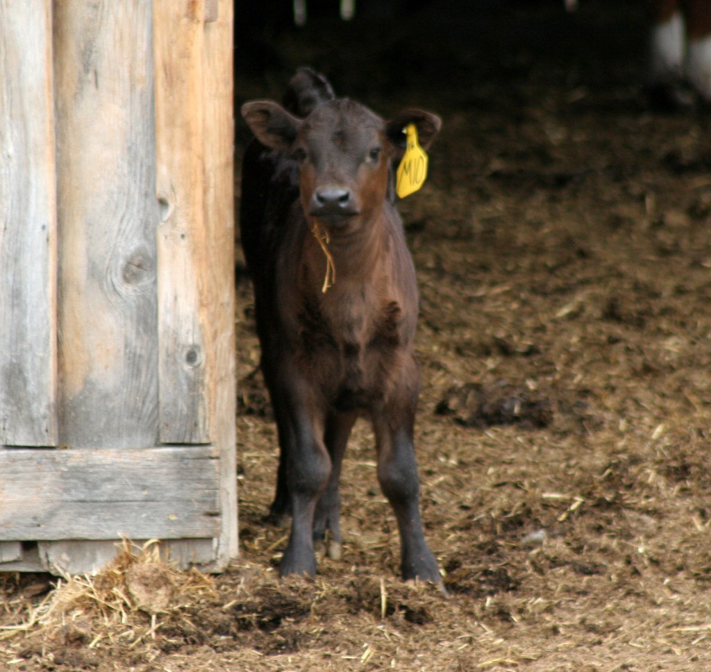
As you explore, keep your eye out for livestock and cowboys on horseback.  It was calving season for the Herefords when we visited in mid-May.

Peak Season

Summer

Hours

https://www.nps.gov/grko/planyourvisit/hours.htm

Fees

None

Road Conditions

Entrance road is paved

Camping

There are private campgrounds in Deer Lodge, Montana, and Lost Creek state Park offers a primitive campground 25 miles away.

Explore More – What is a “beaver slide hay stacker” and how does it work?

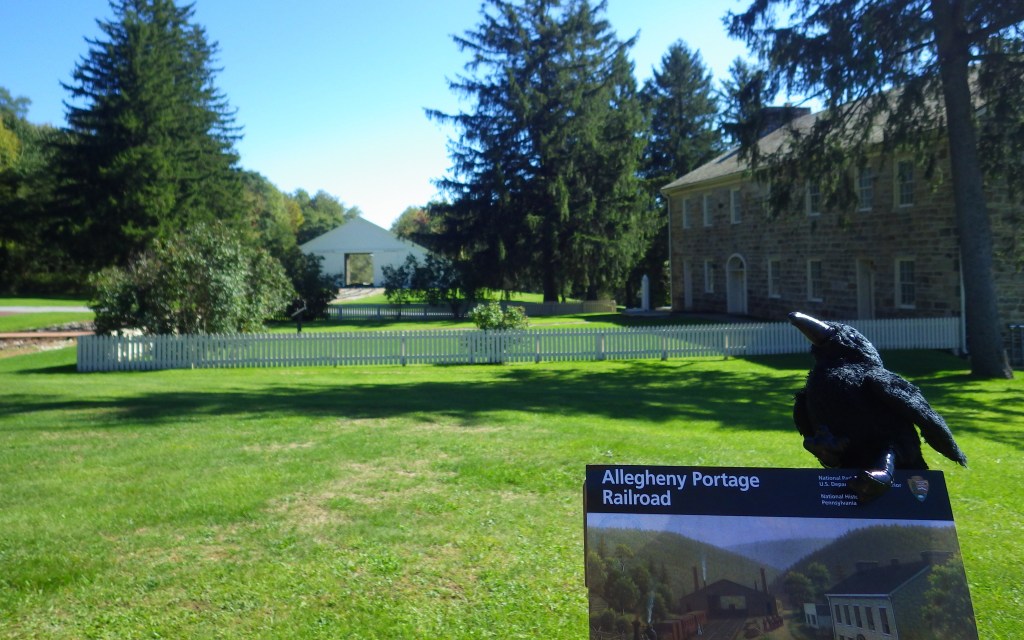
Allegheny Portage Railroad National Historic Site

Overview

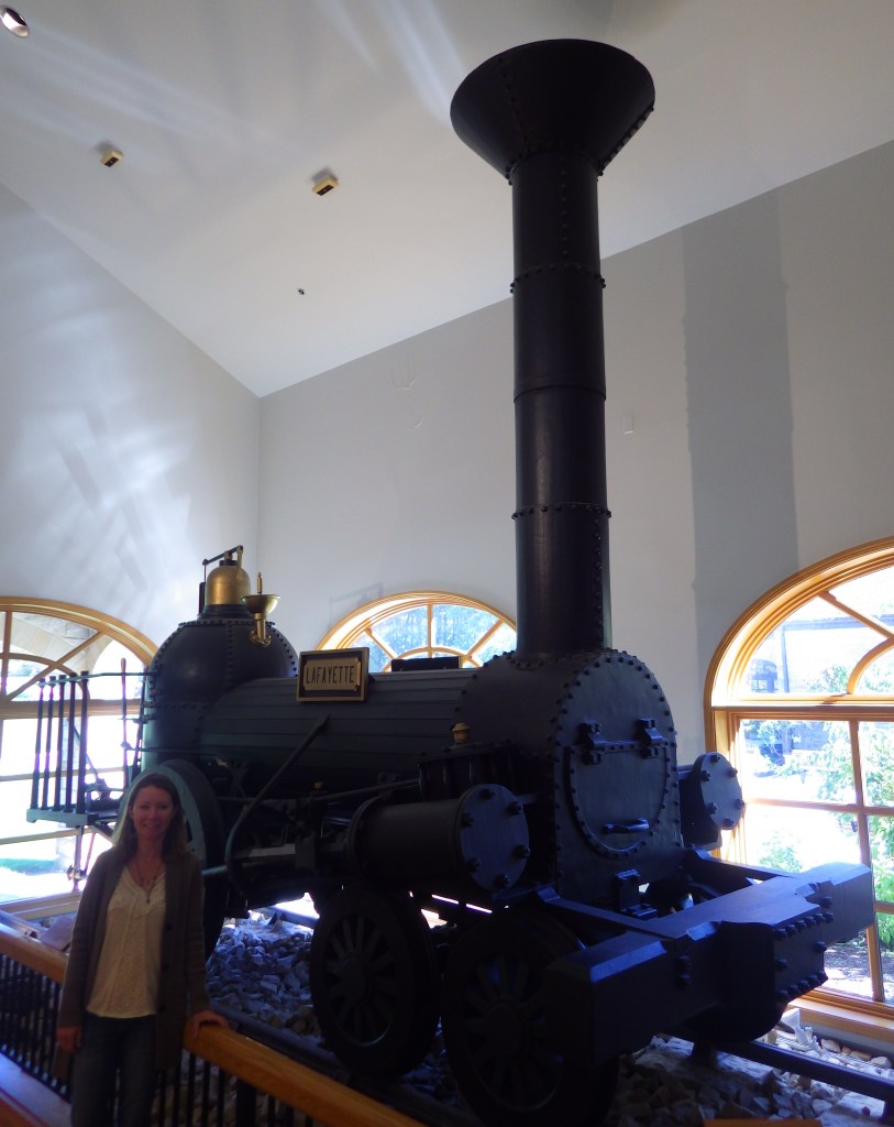
Rather than blast a canal through the mountains, this unique railroad carried sectioned canal boats 36 miles up and over the Alleghenies on a series of 10 inclined planes run by stationary steam engines.  It only ran between 1834 and 1854 before becoming obsolete when the Pennsylvania Railroad provided continuous service to the Ohio River Valley.

Highlights

Museum, film, Engine House 6, Lemon House, Skew Arch Bridge

Must-Do Activity

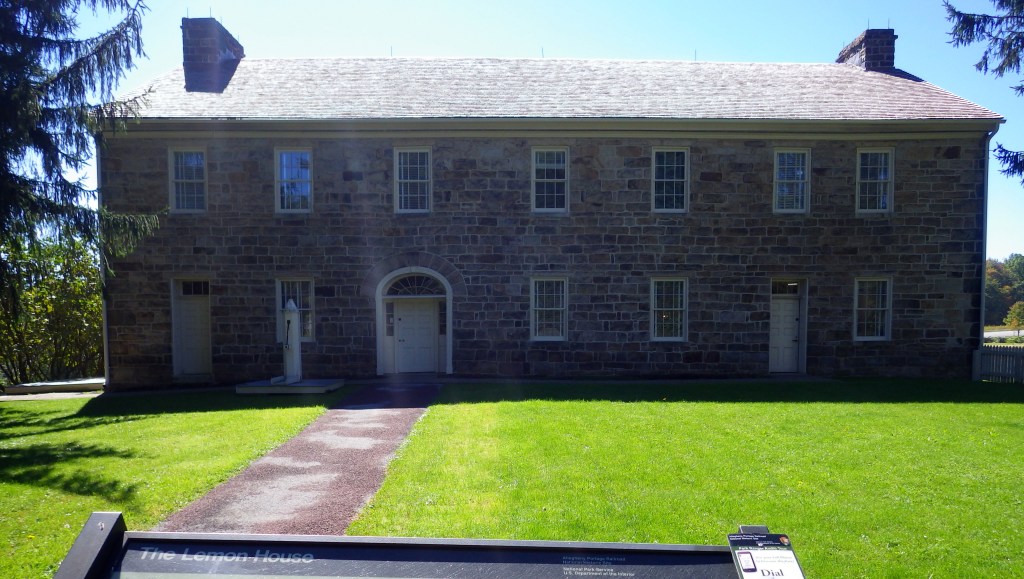
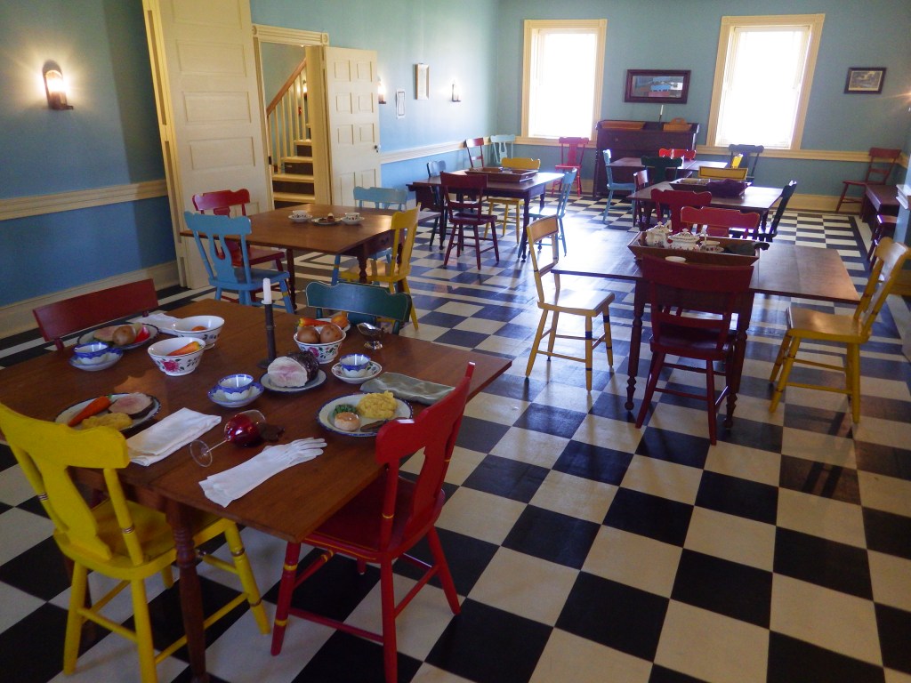
After watching the film in the visitor center, follow the boardwalk through a stone quarry to Engine House 6 Exhibit Building to see a life-sized model of a stationary steam engine and its cable system.  Continue on to Lemon House on Cresson Summit, built around 1832 to serve as a home and tavern. 

Best Trail

From the Engine House 6 Exhibit Building, you can walk a trail through the forest or the mowed incline less than half a mile down to Skew Arch Bridge, or you can drive there.

Instagram-worthy Photo

Skew Arch Bridge was the only road bridge purposely built along the portage.  The “skew” comes in because in 1833 the bridge design was changed to accommodate a bend in the Huntington, Cambria, and Indiana Turnpike Road.  The arch is 22 feet tall and demonstrates the excellence of stone masonry at the time as it was built without mortar.

Peak Season

Summer

Hours

https://www.nps.gov/alpo/planyourvisit/hours.htm

Fees

None

Road Conditions

All roads paved

Camping

Prince Gallitzin State Park offers a campground with showers 20 miles northwest of Altoona, Pennsylvania.

Explore More – What is Staple Bend Tunnel famous for being the first example of with railroads in the United States?