Tag Archives: history

Modoc National Forest

Modoc National Forest

California

Managed by U.S. Forest Service, Pacific Southwest Region

1,979,327 acres (1,663,401 federal/ 315,926 other)

Website: https://www.fs.usda.gov/r05/modoc

Overview

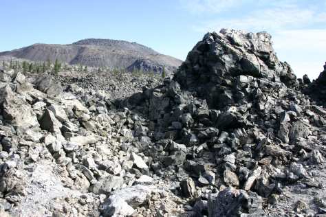
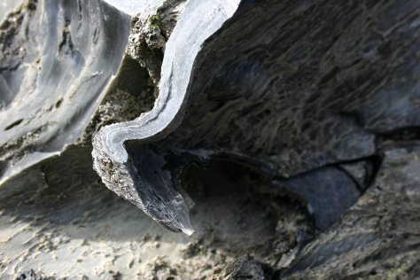
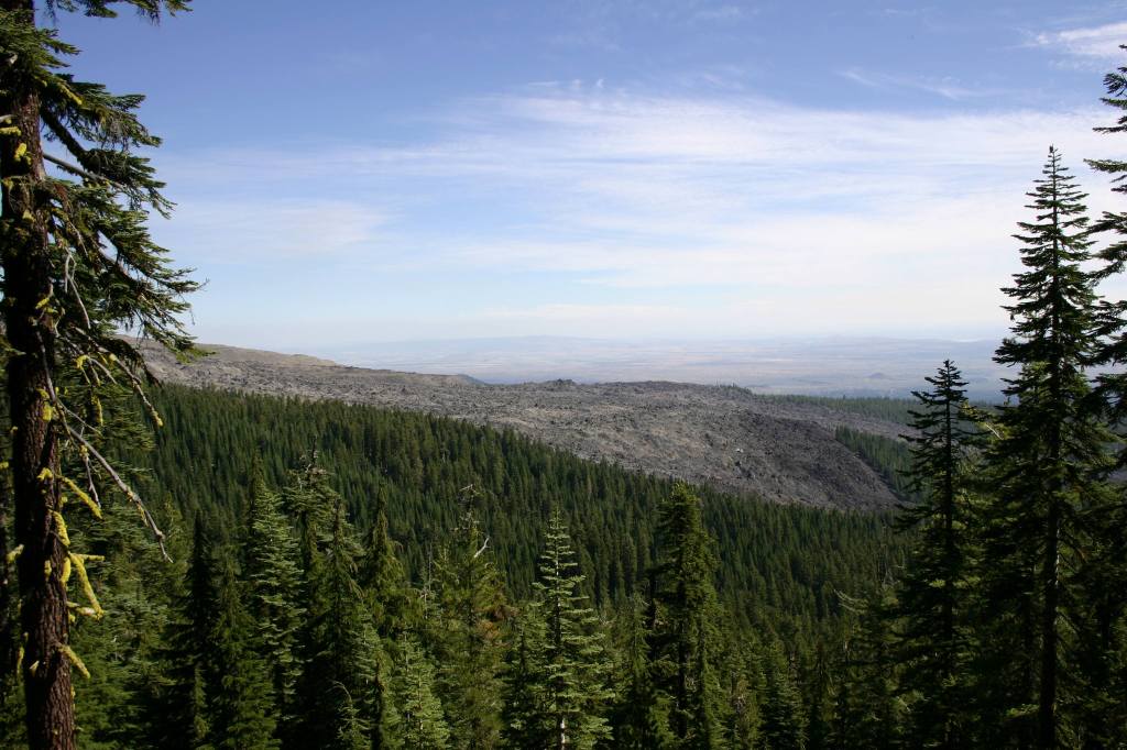
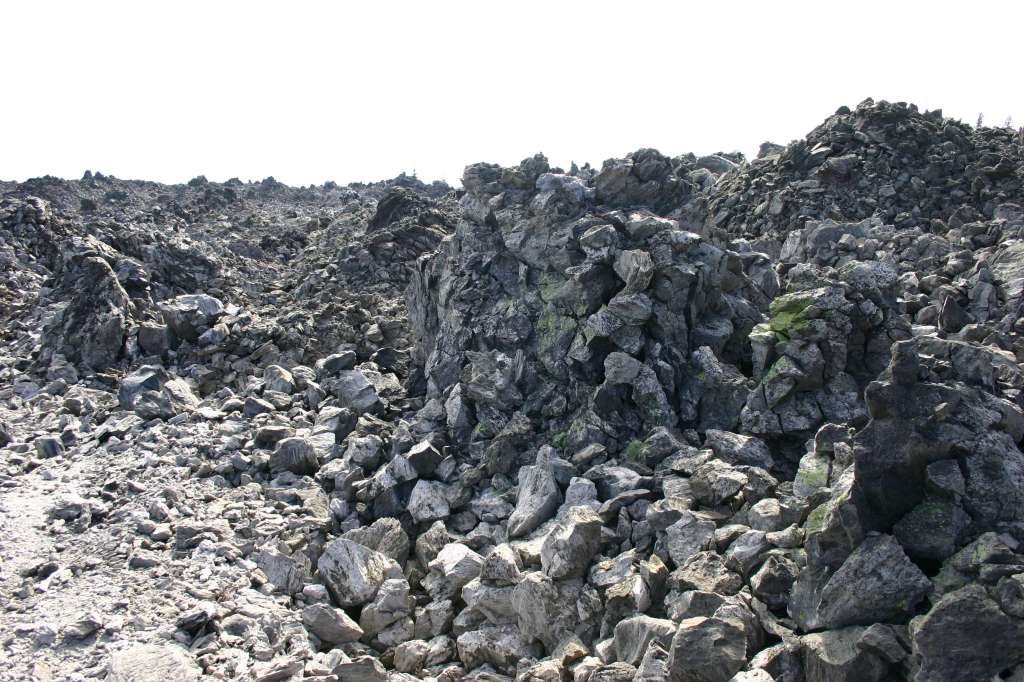
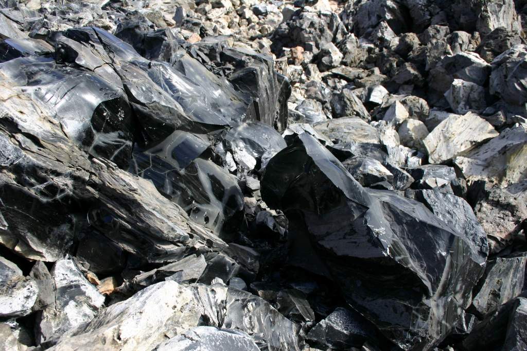
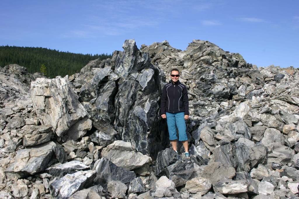
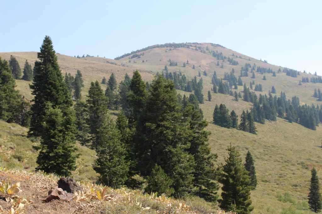
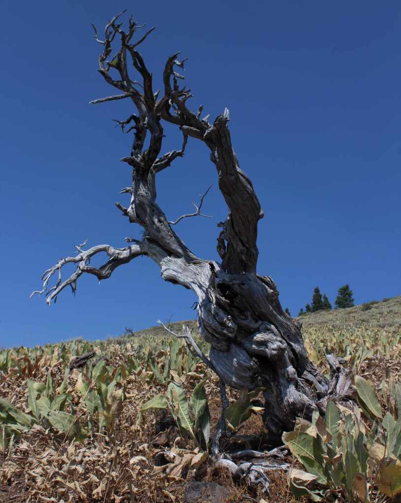
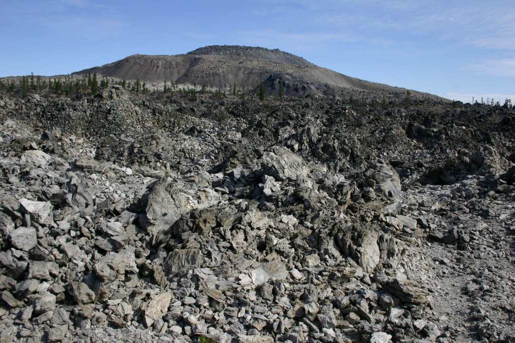
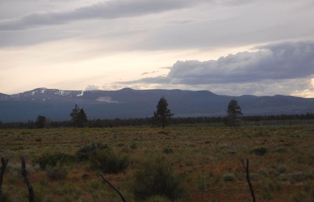
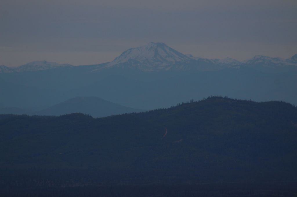
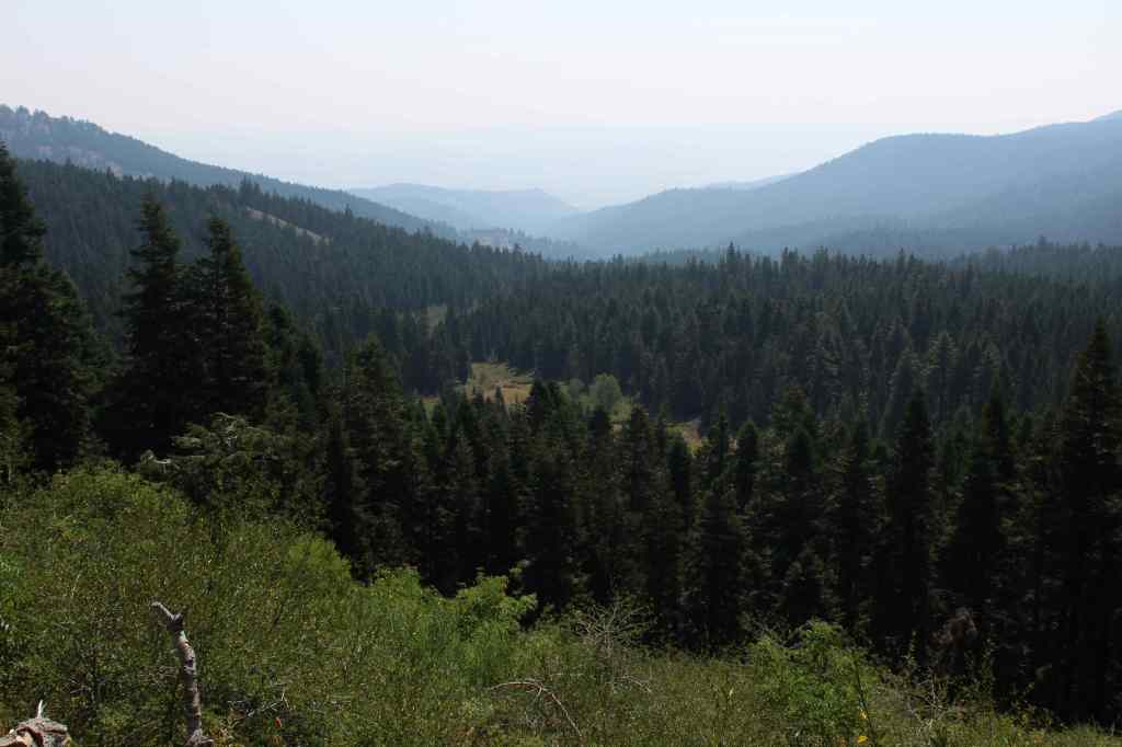
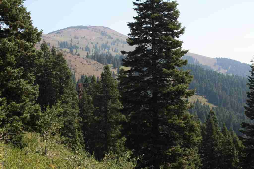
In the northeast corner of California, Modoc National Forest contains the largest shield volcano in North America: 7,921-foot Medicine Lake Volcano.  This region has a long history of volcanism, as seen at Pumice Stone Mountain, Burnt Lava Flow, High Hole Crater, Hot Spot, and Glass Mountain (composed of rhyolite obsidian and glossy dacite).  The basalt-topped plateau of Devil’s Garden is home to an 800-acre stand of western juniper.  East of Goose Lake, the Warner Mountains rise from 4,300 feet to 9,892-foot Eagle Peak, and are covered by a mixed conifer forest of lodgepole pine, whitebark pine, ponderosa pine, incense-cedar, and red fir. 

Know someone who loves the National Forests? Gift them our travel guidebook Out in the Woods so they can learn more about all 155 National Forests.

Highlights

Sáttítla Highlands National Monument, Volcanic Legacy Scenic Byway, Medicine Lake Recreation Area, Glass Mountain, Devil’s Garden Natural Area, Mill Creek Falls, Highgrade National Recreation Trail, Pine Creek Trail

Must-Do Activity

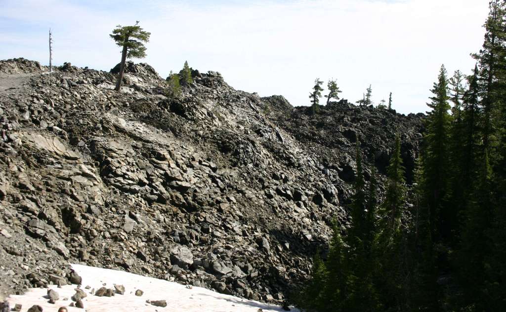
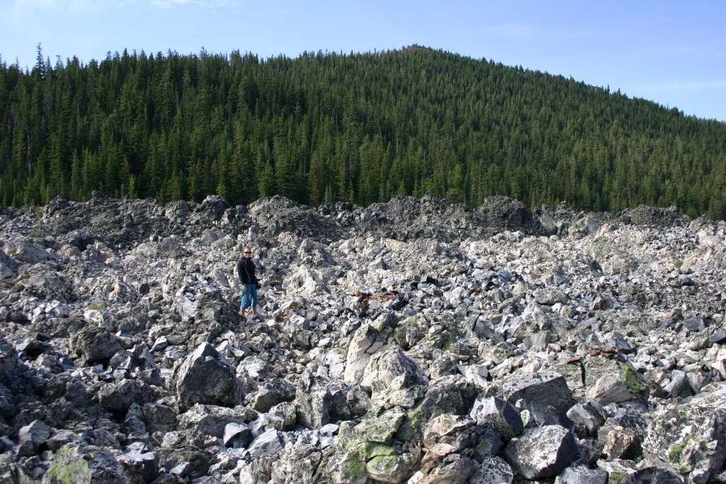
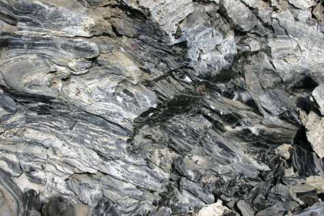
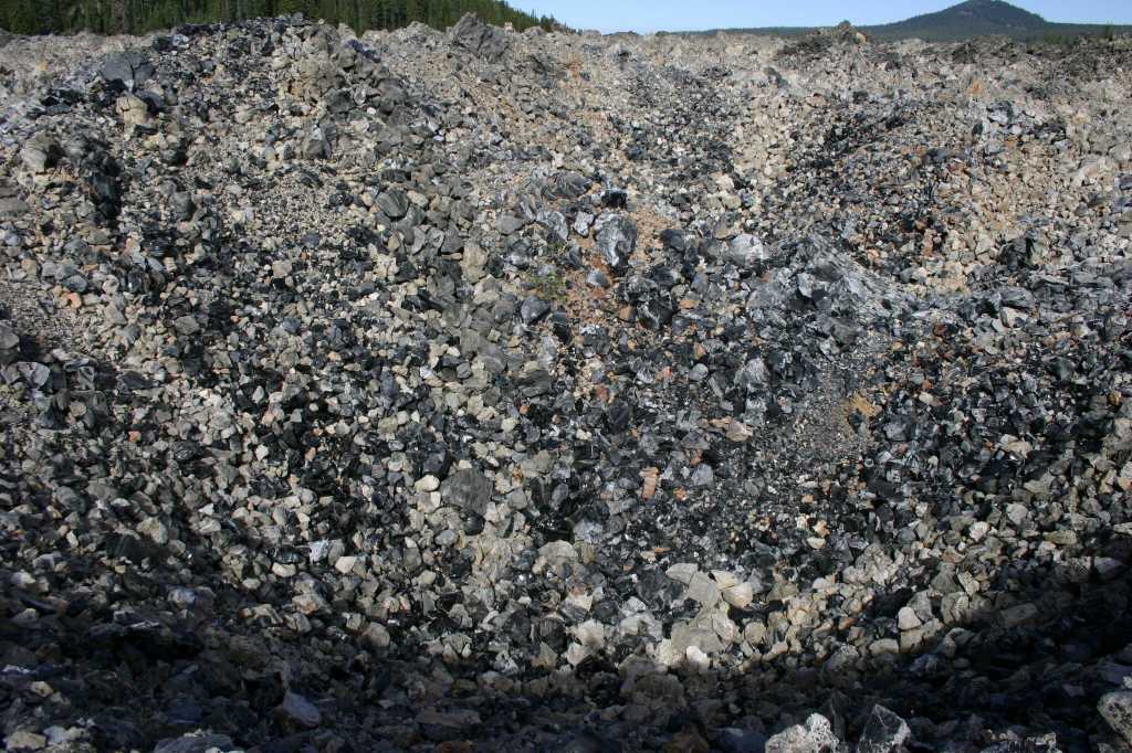
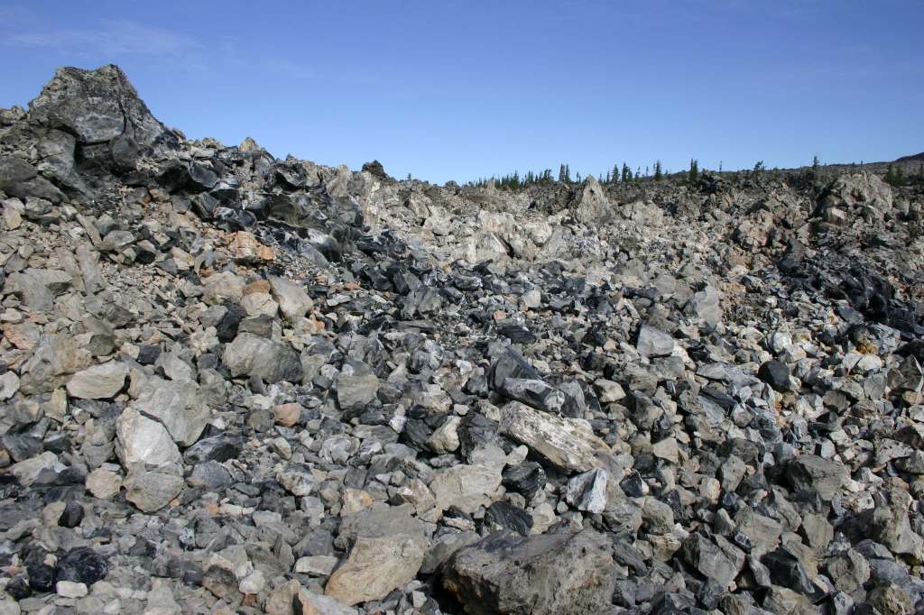
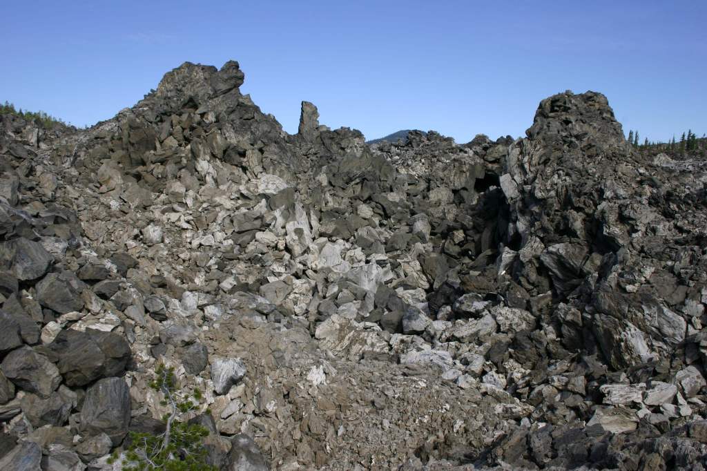
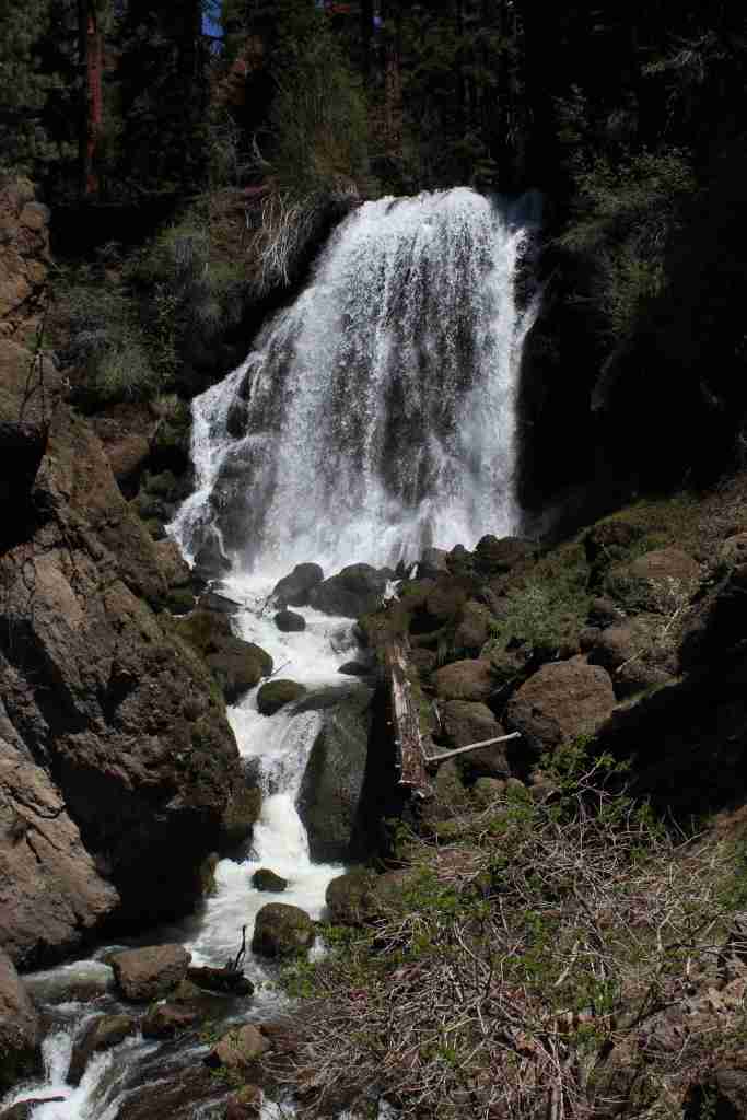
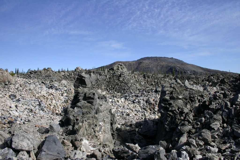
Medicine Lake offers boat ramps, trails, and campgrounds and nearby is Giant Crater, which has the longest known lava tube system in the world at 18 miles (although it is partially collapsed).  Located up a dirt road often blocked by snowdrifts late into the summer, Glass Mountain has a crater full of sharp pieces of rhyolite obsidian and glossy dacite.  This remote corner of California has some of the darkest skies in the continental U.S., so it is great for stargazing on moonless nights.  In the winter, snowmobiling and cross-country skiing are popular activities on groomed trails.  The South Warner Mountain Wilderness is traversed by the 21-mile Summit Trail that passes Eagle Peak, the Devil’s Knob, and The Slide. Mill Creek Falls is also in the Warner Mountains, accessed by a 3.4-mile out-and-back trail.

Best Trail

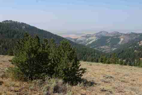
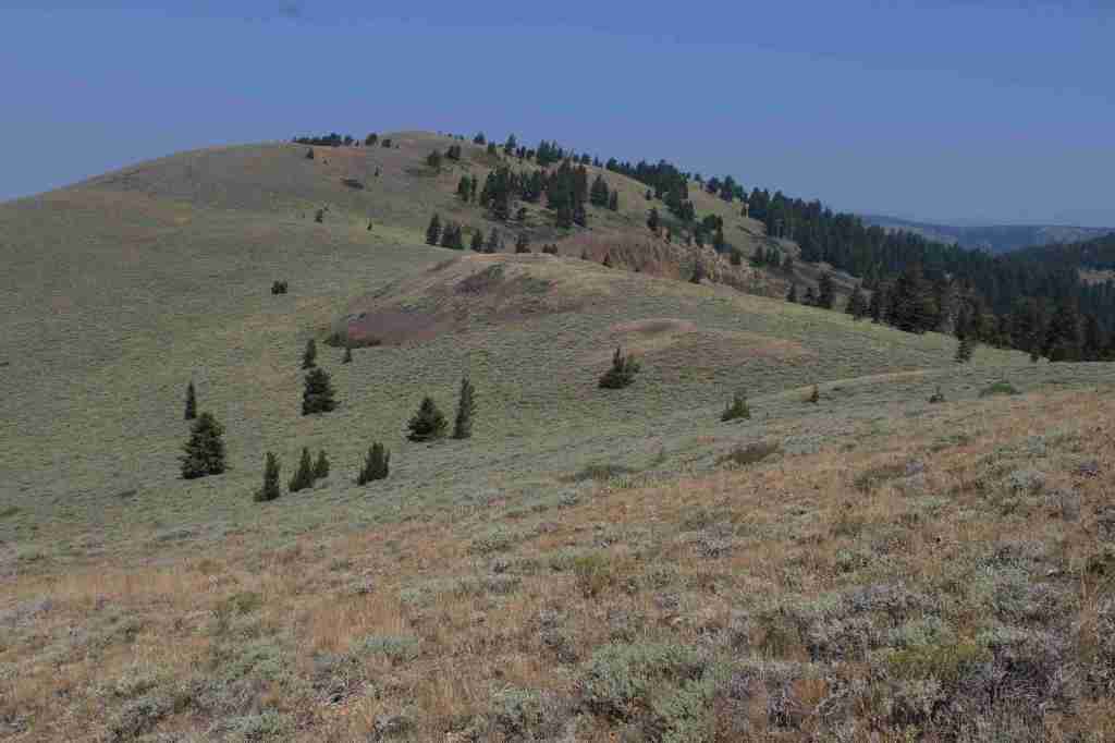
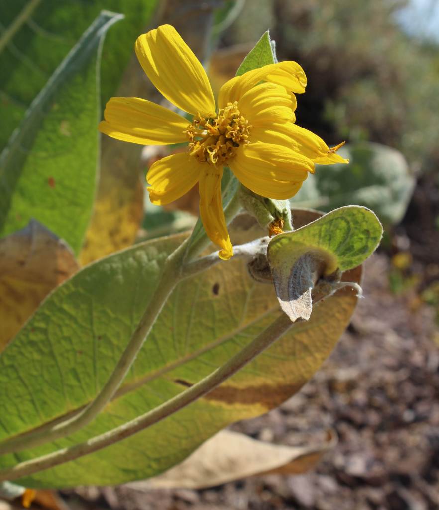
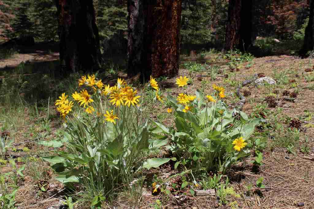
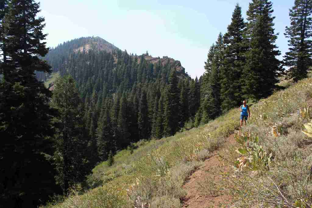
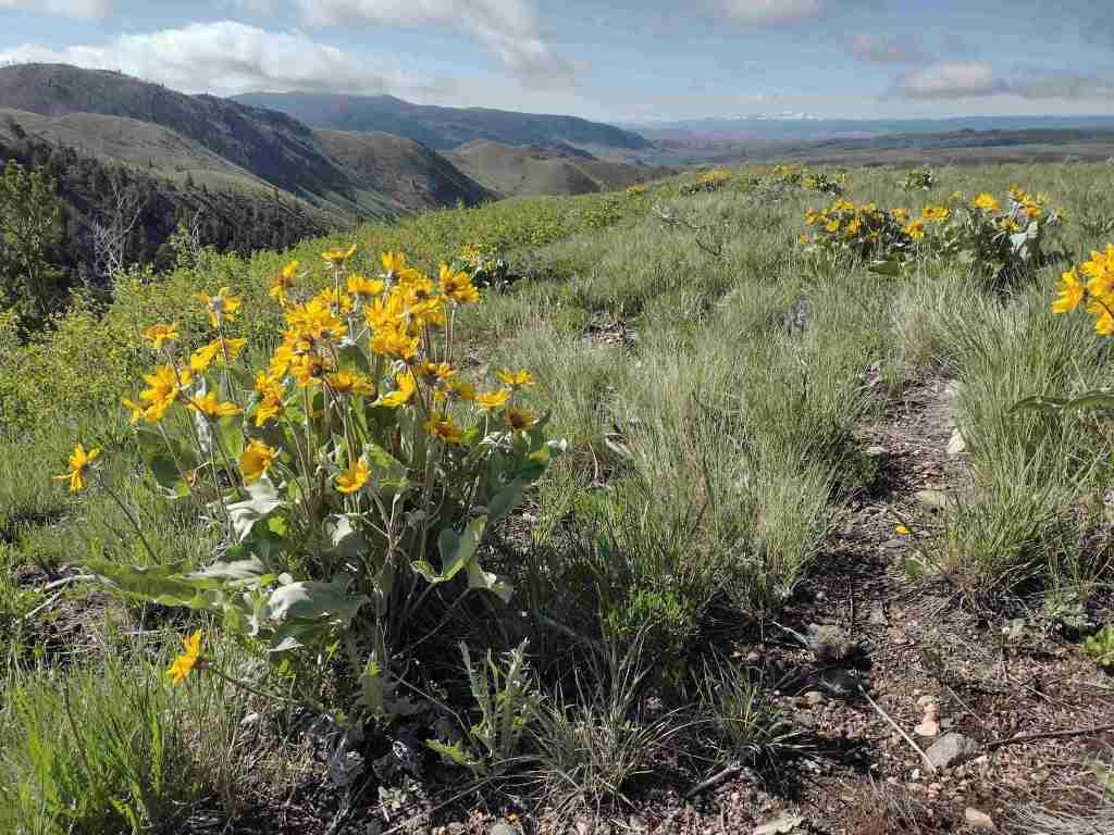
In the Warner Mountains near the border with Oregon’s Fremont National Forest, the 5.5-mile one-way Highgrade National Recreation Trail provides excellent views of Goose Lake.  The trailhead is reached by taking paved County Road 9 five miles east from Highway 395 then turning north on the steep and unpaved Del Pratt Spring Road (Forest Road 47N72) for 6.3 miles.  The trail quickly leaves the shade of the forest as it steadily climbs 800 feet through a slope covered in woolly mule’s ears flowers to a saddle west of 8,224-foot Mt. Vida.  It is possible to summit Mt. Vida from this point, but the trail heads away toward Yellow Mountain following Forest Road 48N10.

Watchable Wildlife

Modoc National Forest borders Lower Klamath National Wildlife Refuge, in addition to Tule Lake, Clear Lake, and Modoc National Wildlife Refuges.  These wetlands provide habitat crucial for bird nesting and migration on the Pacific Flyway.  The many lava tubes provide habitat for numerous species of bats, in addition to violet-green swallows and bushy-tailed woodrats.  Larger mammals include mule deer, pronghorn, badger, skunk, raccoon, pika, jackrabbit, yellow-bellied marmot, coyote, bobcat, and mountain lion.  Large birds found here are great horned owl, short-eared owl, and bald eagle (winter resident).  Reptiles are abundant, including the western fence lizard, northern sagebrush lizard, western skink, Rocky Mountain rubber boa, gopher snake, desert night, and western rattlesnake.

Photographic Opportunity

Not far up the steep Highgrade National Recreation Trail there are excellent views of Goose Lake to the west.

Peak Season

Summer

Fees

$5 per vehicle (or the America the Beautiful Pass) at Medicine Lake

Road Conditions

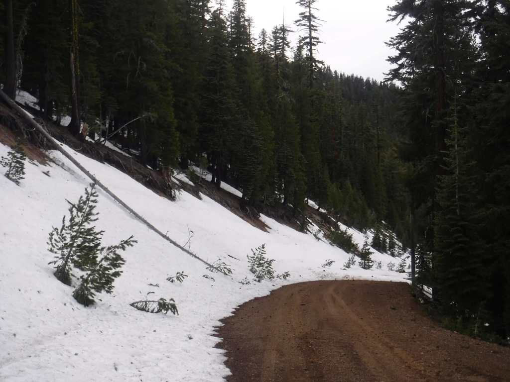
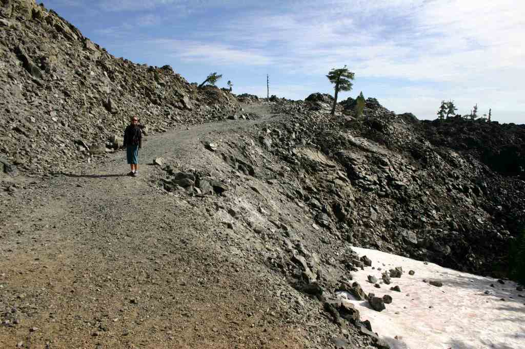
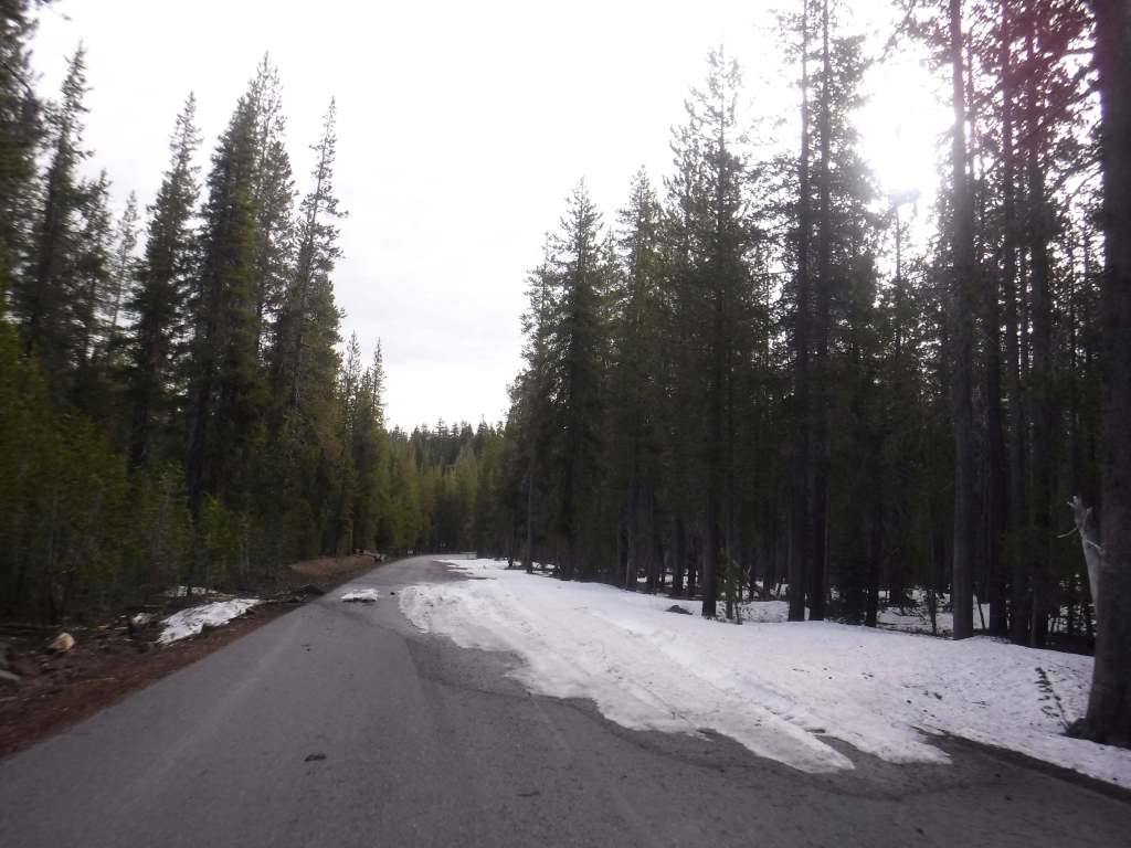
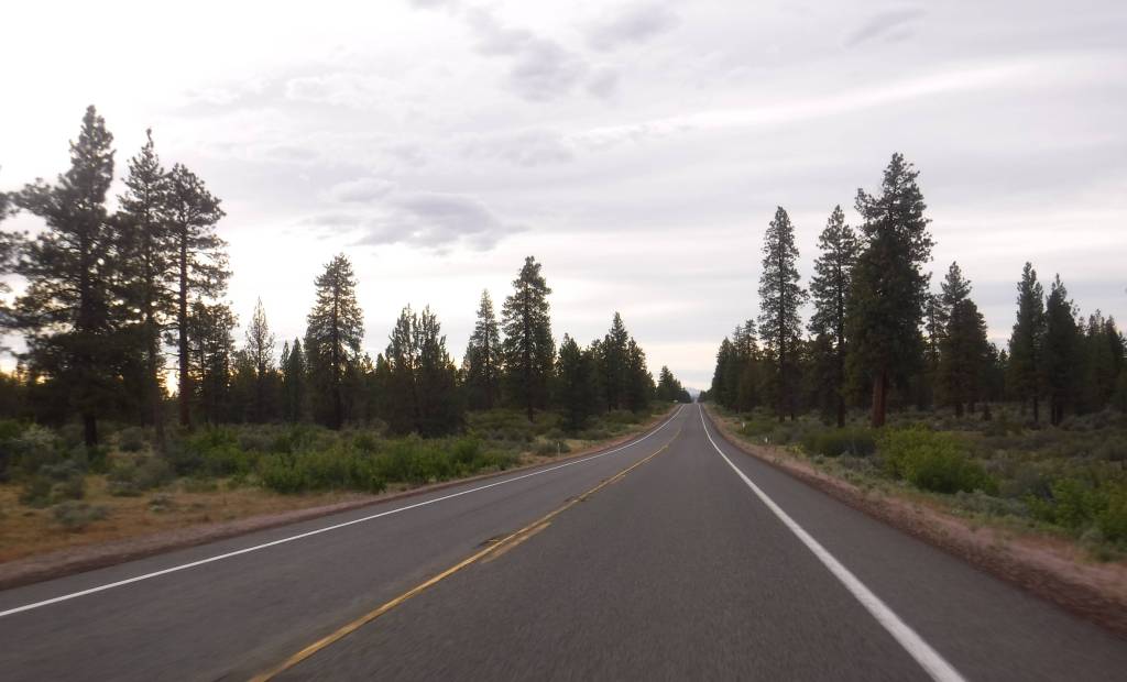
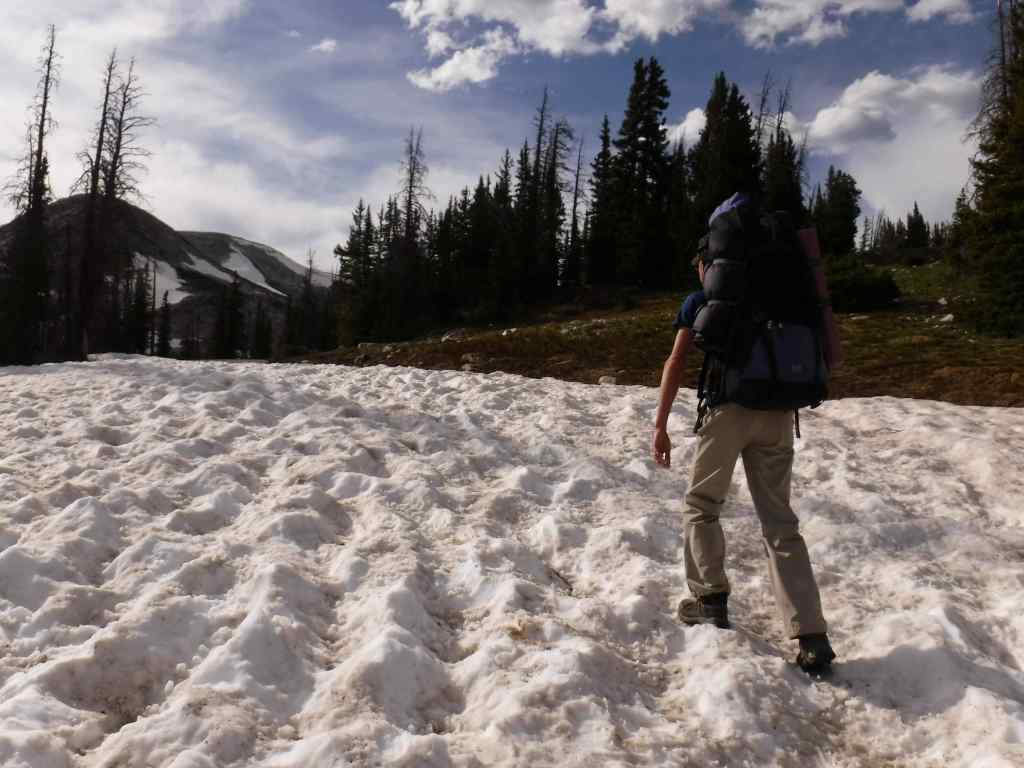
This area receives abundant winter snowfall, and roads can be blocked by snow into July, which we experienced trying to get to Glass Mountain.  The road to Medicine Lake is paved, but almost every other road through the National Monument is unpaved, some requiring a high-clearance vehicle.  Giant Crater is a Geologic Special Interest Area that can be accessed two miles off Medicine Lake Road on Forest Road 43N11. 

Camping

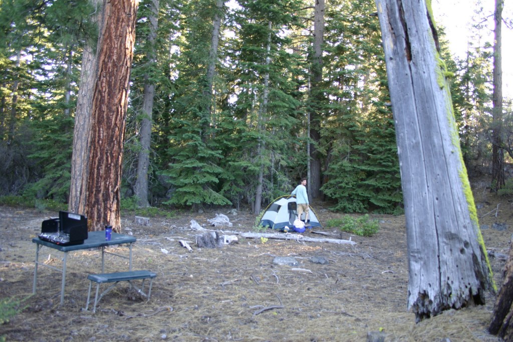
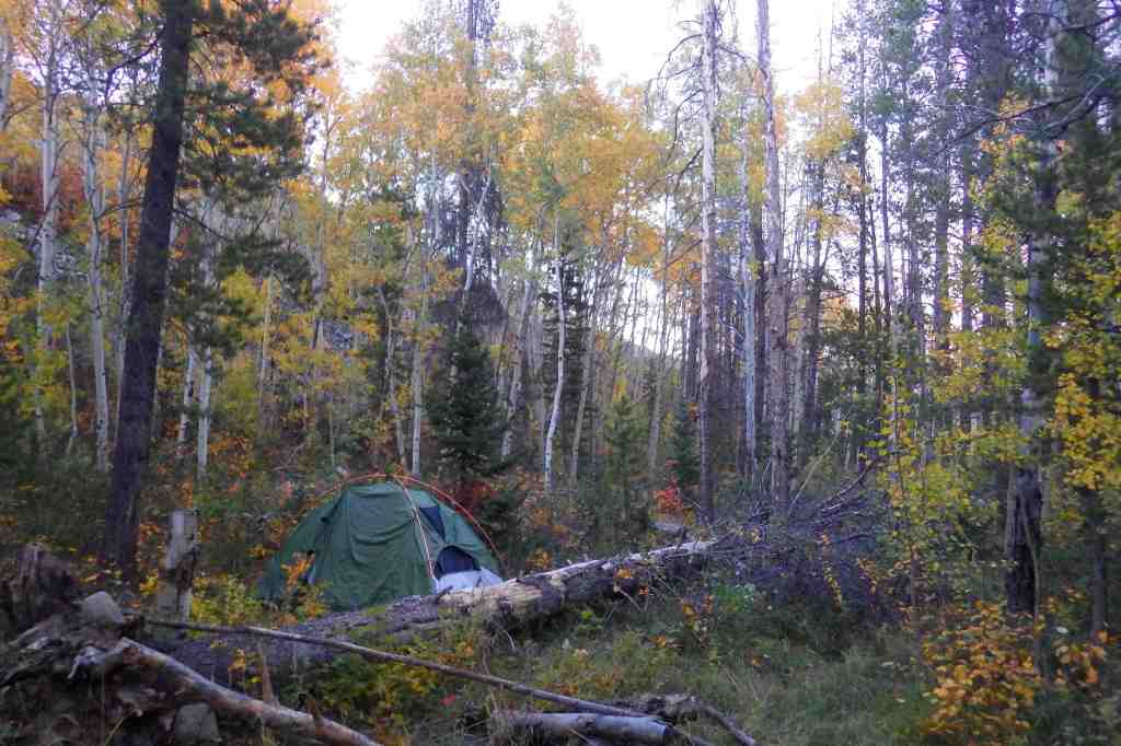
There are multiple Forest Service campgrounds on Medicine Lake, plus two nearby at Blanche Lake and Bullseye Lake.  Dirt roads in Modoc National Forest provide ample dispersed campsites.

Wilderness Areas

South Warner Wilderness

Related Sites

Lava Beds National Monument (California)

Tule Lake National Monument (California)

Sáttítla Highlands National Monument (California)

Butte Valley National Grassland (California)

Nearest National Park
Lassen Volcanic

Conifer Tree Species

ponderosa pine, whitebark pine, red fir, incense-cedar, white fir, lodgepole pine, western white pine, Jeffrey pine, incense-cedar, western juniper

Flowering Tree Species

quaking aspen, curlleaf mountain mahogany, elderberry, sagebrush

Explore More – The Modoc Tribe traditionally lived in this area and the Klamath called them “Moadok Maklaks” that translates as what?

Learn more about this and the 154 other National Forests in our new guidebook Out in the Woods

Port Chicago Naval Magazine National Memorial

Port Chicago Naval Magazine National Memorial

California

Managed by National Park Service

Established 1992

5 acres

Website: nps.gov/poch

Overview

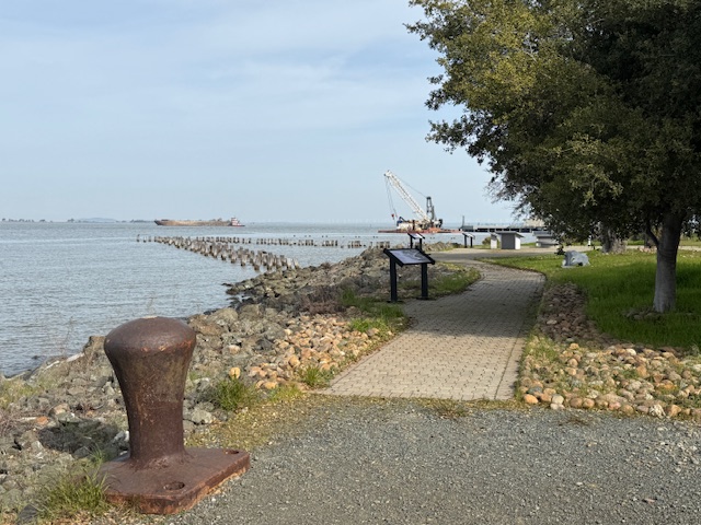
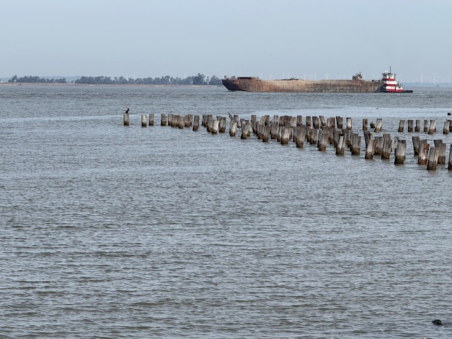
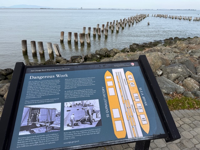
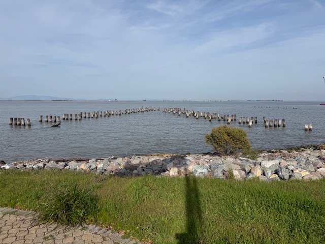
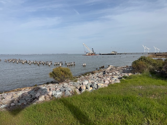
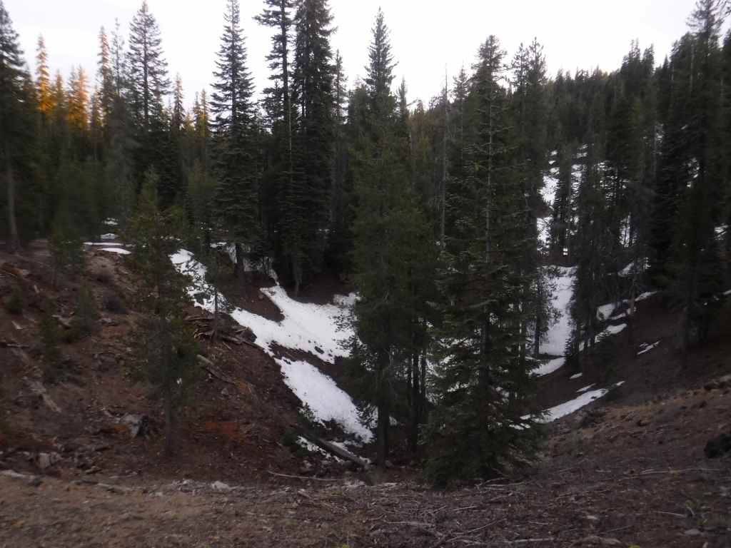
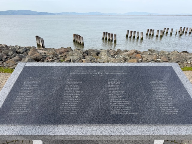
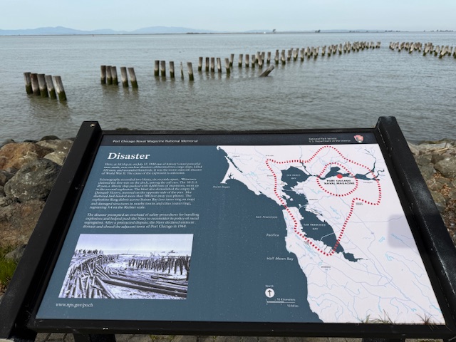
On July 17, 1944 at 10:18 p.m., a massive explosion at a U.S. Navy facility rocked the San Francisco Bay area.  The blast started at a pier where munitions were being loaded onto two ships and killed 320 men.  The majority of the dead were African American sailors who were segregated at the time and not allowed to serve in combat roles or as officers.  After refusing to return to unsafe working conditions, 206 sailors were convicted after a summary courts-martial, and the “Port Chicago 50” were sentenced to 15 years imprisonment for mutiny.  After receiving negative publicity, the Navy actually became the first of the military branches to integrate during World War II, well before President Truman required it in 1948.  On January 6, 1946, the Navy released 47 of the 50 men being held and in 2024, the Navy posthumously exonerated all 256 men and vacated any remaining dishonorable discharges. 

Highlights

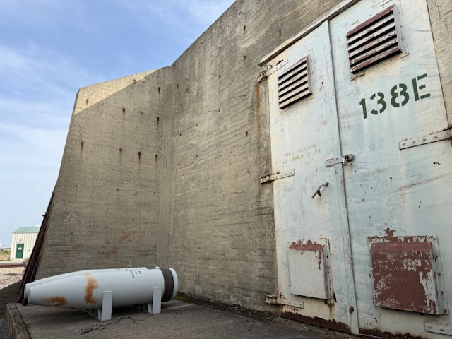
Memorial, film, revetment

Must-Do Activity

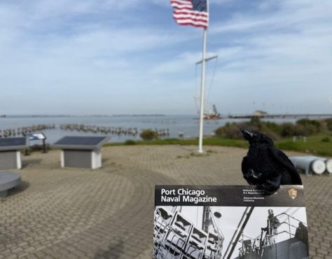
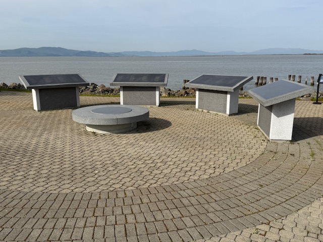
The memorial is located on an active military base called Military Ocean Terminal Concord on Suisun Bay.  Therefore, all visitors are required to be U.S. Citizens and must make a reservation at least two weeks before their visit by calling or emailing the National Park Service (NPS) to receive a background check.  Tours are given only on Thursdays, Fridays, or Saturdays and meet at John Muir National Historic Site (where you can watch a short film) in Martinez where the group boards government vehicles to drive to the site.  After a thorough search of the vehicle and each visitor getting checked off a list, it is a short drive to the memorial where the NPS ranger explains the history of the site at two locations with time to walk around and take photos (but only of the memorial area).

Best Trail

None

Photographic Opportunity

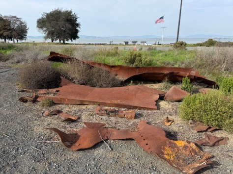
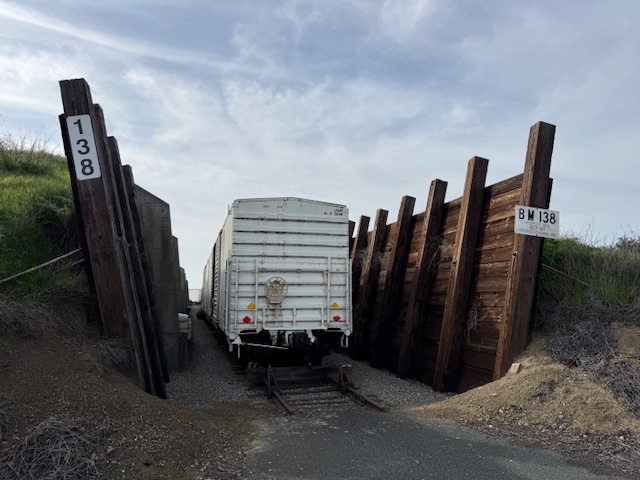
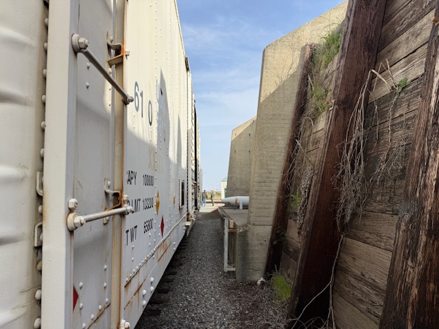
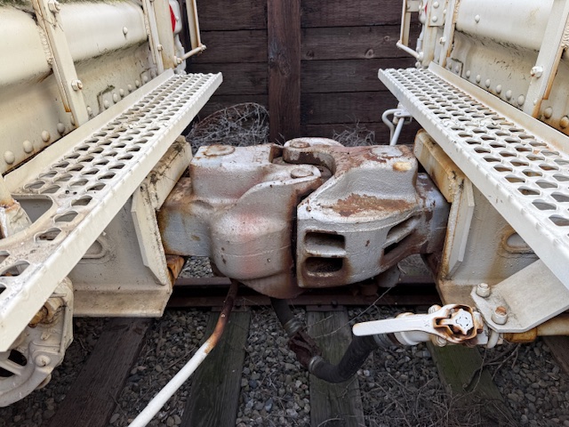
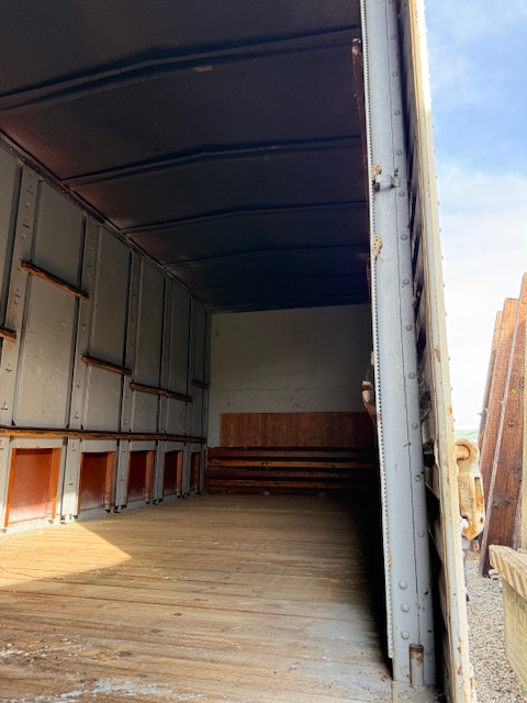
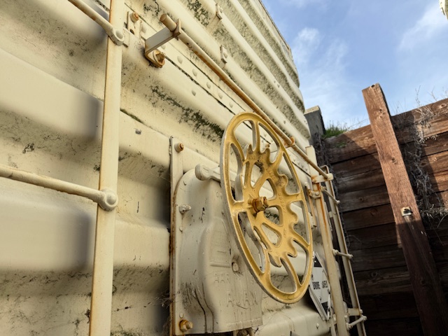
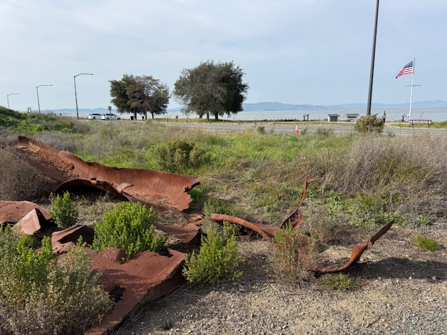
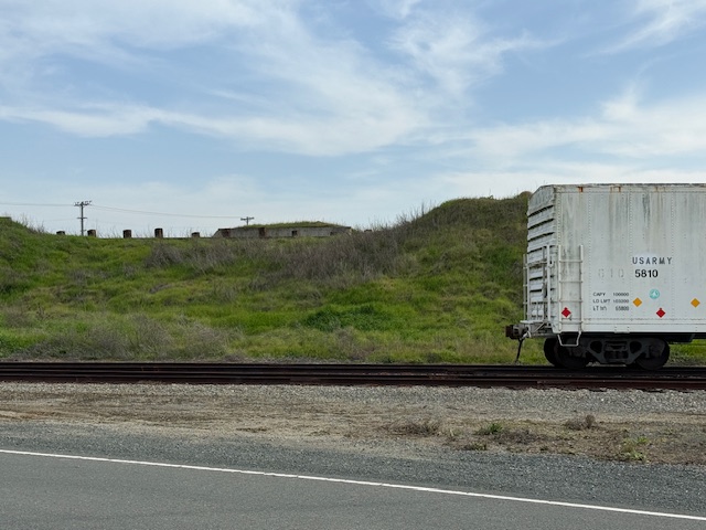
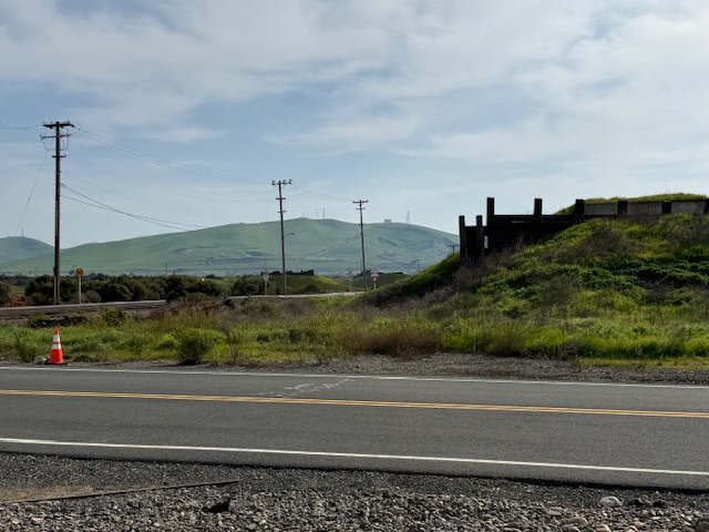
Shrapnel from the 1944 blast is located at the first stop on the guided tour where historic train cars are parked in a revetment. 

Peak Season

Summer

Hours

Tours are available only on Thursdays, Fridays, or Saturdays when the base is not closed to civilians.

https://www.nps.gov/poch/planyourvisit/hours.htm

Fees

None

Road Conditions

All roads are paved to John Muir National Historic Site where there is a free parking lot.

Camping

There are campgrounds at Mount Diablo State Park and backcountry campsites (permit required) at Point Reyes National Seashore.

Related Sites

Rosie the Riveter/World War II Home Front National Historical Park (California)

Muir Woods National Monument (California)

Tuskegee Airmen National Historic Site (Alabama)

Nearest National Park
Pinnacles

Explore More – What future Supreme Court Justice observed the courts-martial and has a regional park named in his honor near Port Chicago Naval Magazine National Memorial?

Medicine Bow National Forest

Medicine Bow National Forest

Wyoming

Managed by U.S. Forest Service, Rocky Mountain Region

1,403,892 acres (1,096,885 federal/ 307,007 other)

Website: https://www.fs.usda.gov/r02/mbrtb

Overview

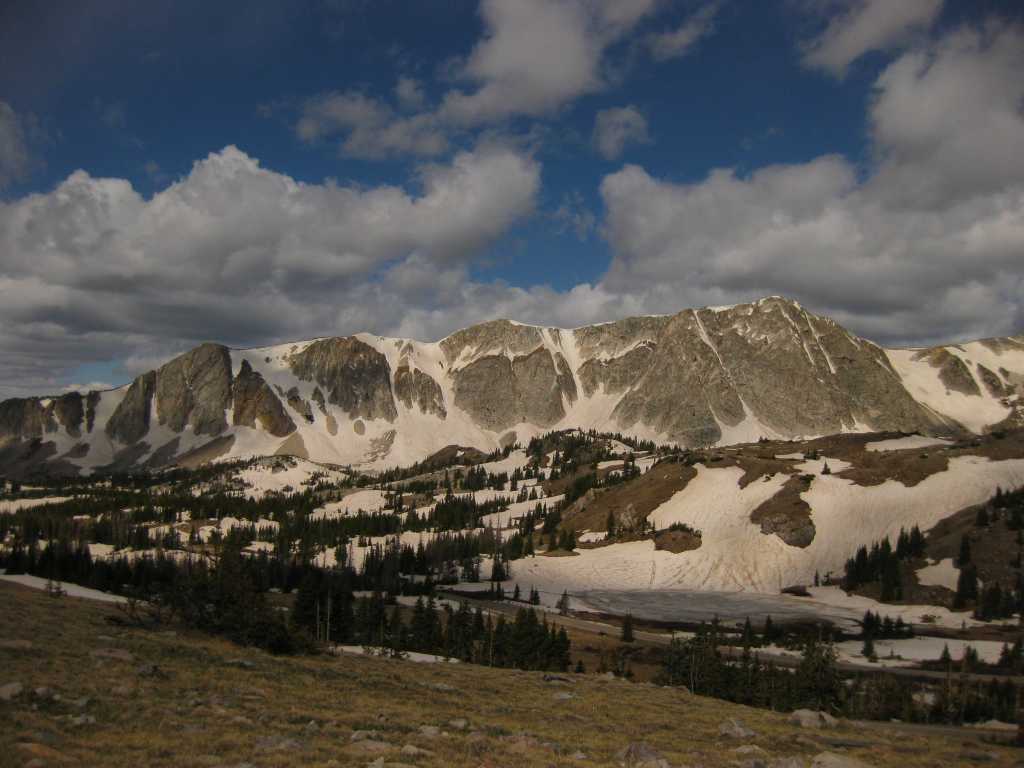
Medicine Bow National Forest is spread across three separate units in southern Wyoming and another located to the north between the cities of Laramie and Casper.  Within the latter unit is 10,272-foot Laramie Peak, a major landmark along the historic Oregon Trail.  Snowy Range Scenic Byway (Highway 130) provides access in the summer to the high-elevation recreational opportunities found in the mountains.  In 1995, Medicine Bow National Forest was administratively combined with Routt National Forest and Thunder Basin National Grassland.

Know someone who loves the National Forests? Gift them our travel guidebook Out in the Woods so they can learn more about this and the 154 other National Forests.

Highlights

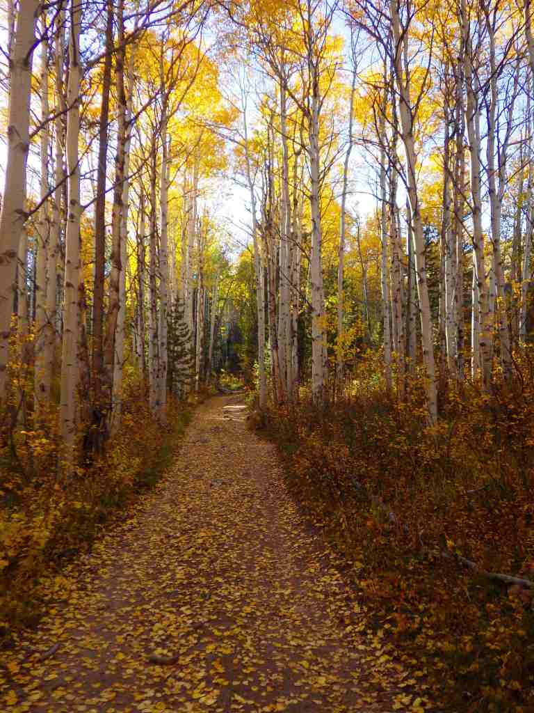
Snowy Range Scenic Byway, Brooklyn Lake Campground, Medicine Bow Peak, Lake Marie, Sierra Madres, Aspen Alley, Hog Park Reservoir, Happy Jack Recreation Area, Vedauwoo, Laramie Peak Trail, Continental Divide National Scenic Trail

Must-Do Activity

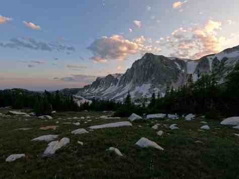
Medicine Bow Peak stands at 12,013 feet within the Snowy Range near the Wyoming-Colorado border and has two steep, rocky trails to its summit which can be combined into a long loop.  The 29-mile-long Snowy Range Scenic Byway cuts across this rugged landscape and is a great place for summer camping, fishing, hiking, horseback riding, mountain biking, and backpacking.  The road closes in the winter, but is still a destination for snowmobiling, downhill skiing, cross-country skiing, and snowshoeing.  Medicine Bow gets its name from annual tribal gatherings when ceremonies were held and mountain mahogany was gathered for bow making.

Best Trail

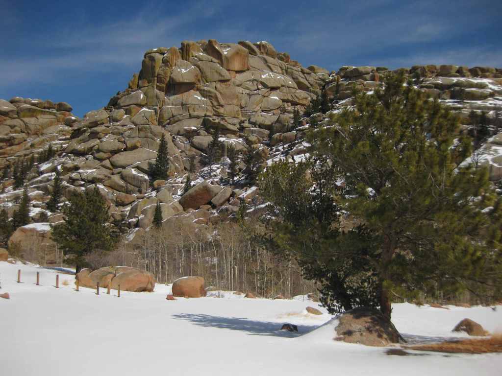
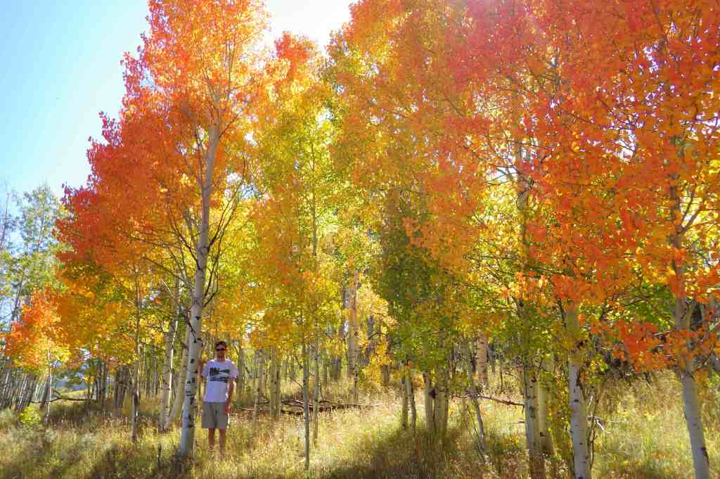
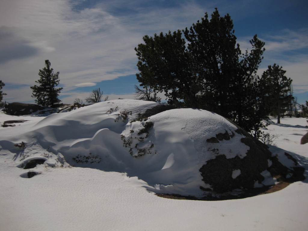
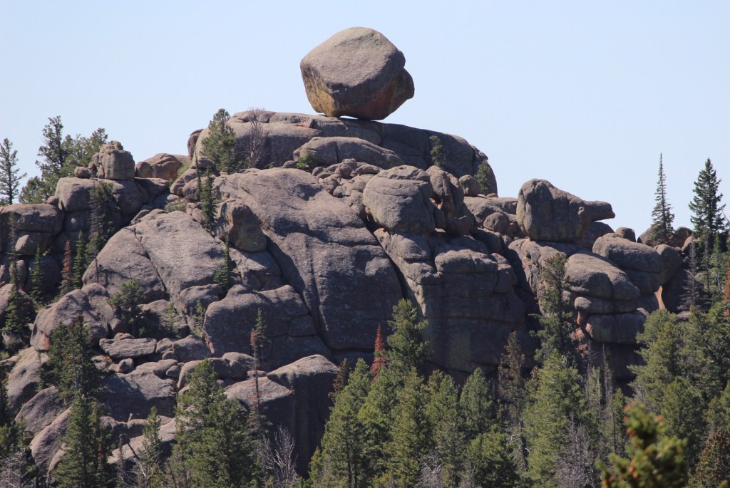
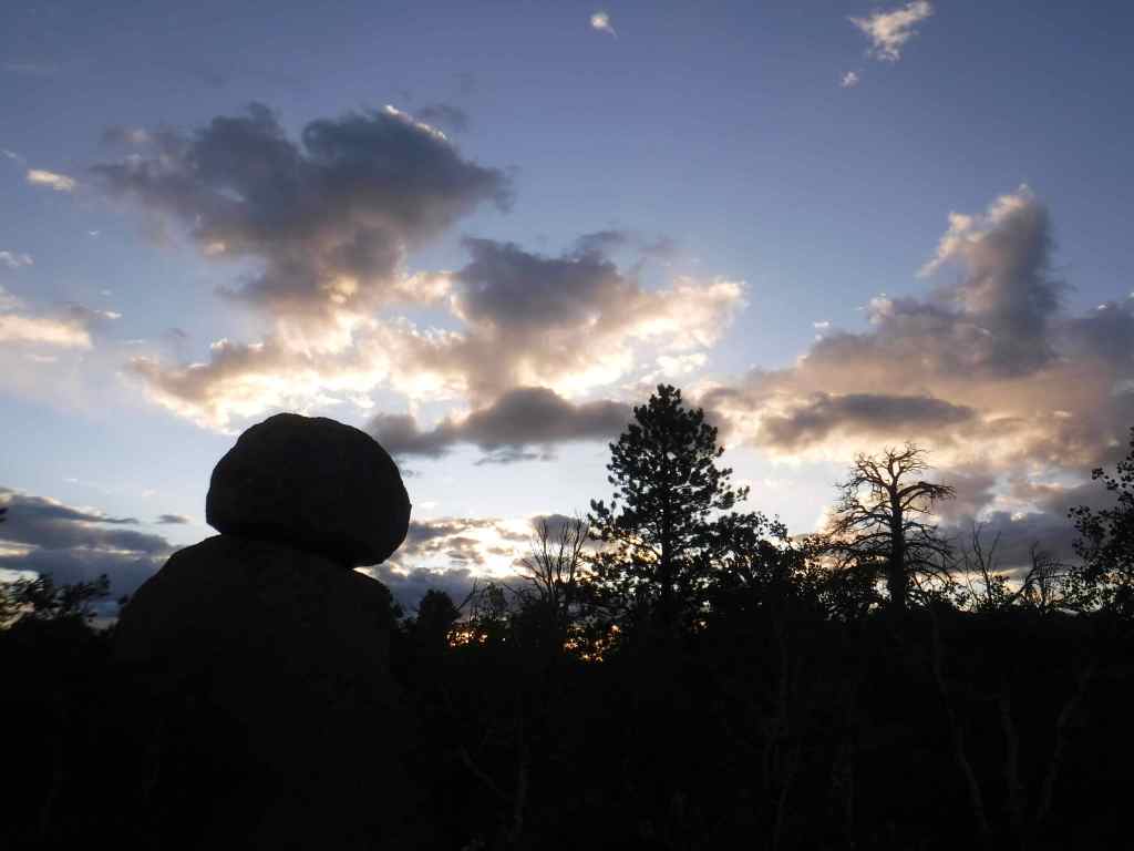
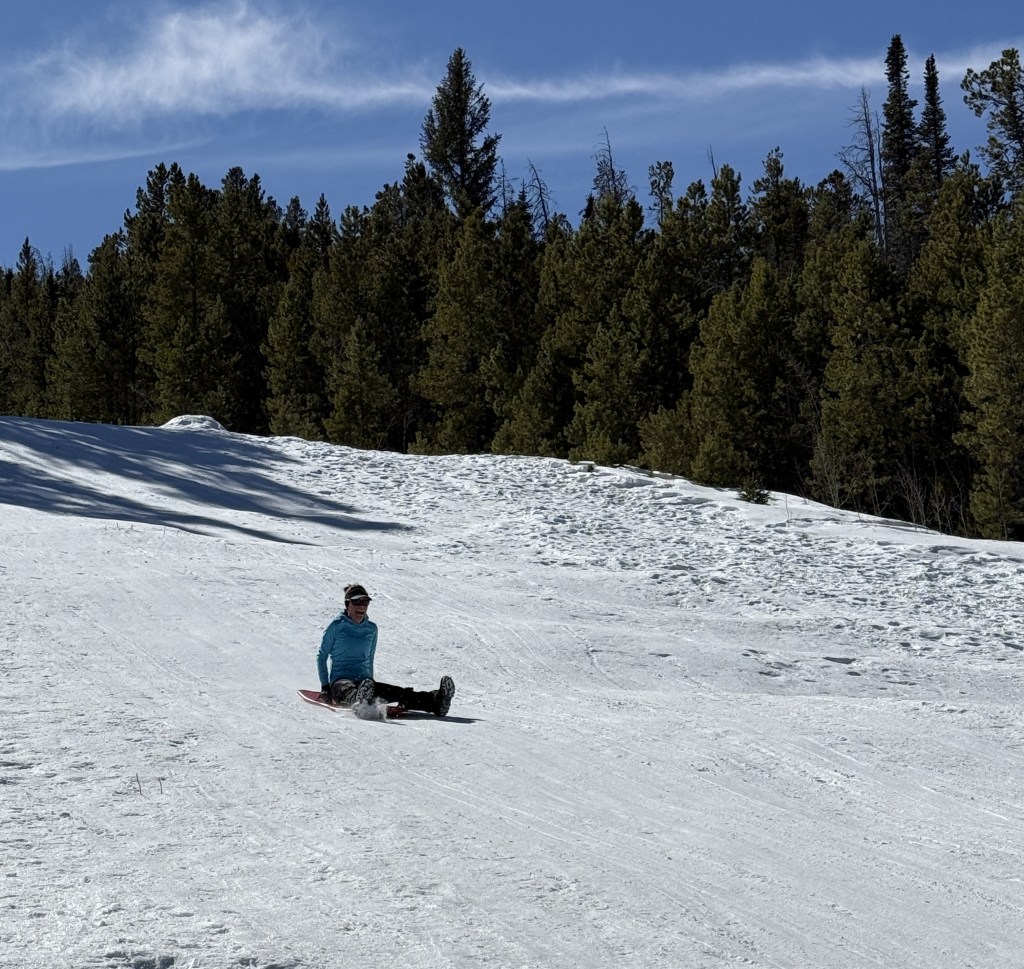
Vedauwoo Recreation Area is visible from Interstate 80 between Laramie and Cheyenne, but feels worlds apart.  Its maze of boulders is a fun place to visit in the winter or summer (when the campground is open).  The 3.2-mile Turtle Rock Trail circles the area, but it is more fun to climb around off trail.  Near the end of winter, snow drifts pile six-feet-high next to ground swept bare.  In the glens protected by the 200-foot-tall rock outcrops, snowflakes cling to the bare branches of aspen and maple trees, and stick in the needles of junipers, Douglas-firs, and ponderosa pines.  Vedauwoo is an Arapaho word meaning “earthborn,” also the name of a nature spirit character in summer theater performances held here in the 1920s by the University of Wyoming.  This forest was once depleted for telegraph poles and railroad ties before the Civilian Conservation Corps (CCC) planted 280,000 trees in the 1930s.  It was used for over 50 years of military target practice, significant because there are unexploded munitions still in the ground.  Vedauwoo is located near the Happy Jack Recreation Area, which at 8,640 feet is the highest point along Interstate 80 between San Francisco and New York City.  This cross-country road was originally called the Lincoln Highway, hence the giant sculpture of Abraham Lincoln’s head at the nearby rest area. 

Watchable Wildlife

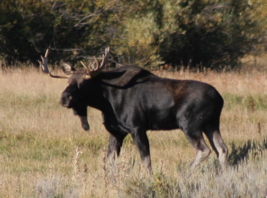
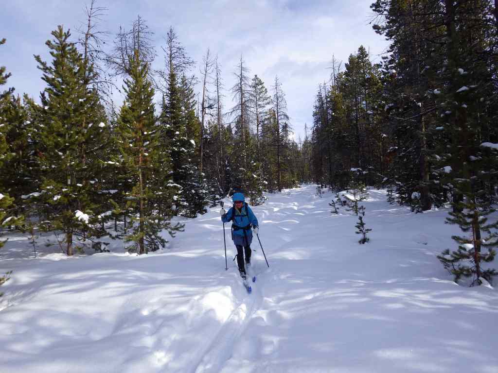
After a cold day on the National Forest’s cross-country ski trails at Brush Creek (built in the 1930s by the Civilian Conservation Corps) or Chimney Park, we always made it a point to stop in Saratoga where hot springs water is piped into the free outdoor Hobo Pool adjacent to the North Platte River.  This area is a favored wintering ground for bald and golden eagles, so you may witness a flyover during your soak.  Also watch for mule deer in town and a variety of waterfowl along the river.  Moose, elk, and pronghorn (at lower elevations) are found in the National Forest.  Black bears, mountain lions, coyotes, and red foxes reside here, too.  Trout fishing in lakes and streams is a major draw to the mountains. 

Photographic Opportunity

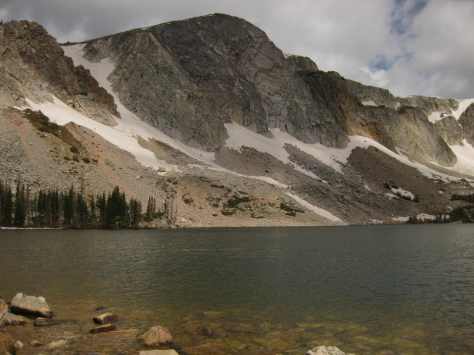
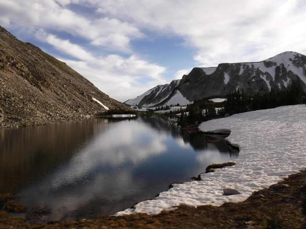
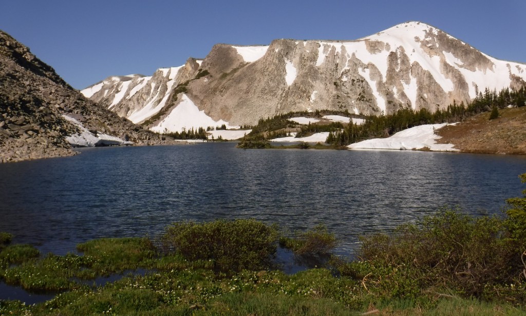
Lake Marie along the Snowy Range Scenic Byway is one of the most widely used photographs for tourism publications in this corner of Wyoming.

Peak Season

Summer

Fees

Day use fees of $5 per vehicle (or America the Beautiful pass) apply at Vedauwoo, Tie City Trailhead, Happy Jack Trailhead, and the western terminus of Headquarters National Recreation Trail, as well as Sugarloaf and West Lake Marie Trailhead along Snowy Range Scenic Byway.

Road Conditions

The gravel Vedauwoo Road (closed in spring) is good enough for RVs, as are some of the side roads off paved Snowy Range Scenic Byway (closed in winter).  Beware the rutted Forest Road 336 near Libby Flats and some other four-wheel-drive-only routes.  Several roads become snowmobile routes in the winter, including most of Snowy Range Scenic Byway west of the ski resort.

Camping

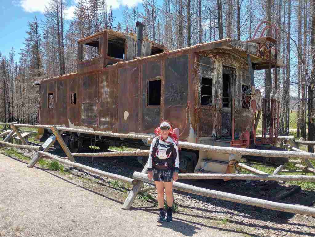
In addition to a large designated campground at the Vedauwoo exit off Interstate 80, Vedauwoo Road has designated free campsites marked by a post and offer dispersed camping along other surrounding roads.  Brooklyn Lake is one of several designated campgrounds along the Snowy Range Scenic Byway where dispersed campsites are harder to find.  Between Casper and Cheyenne, Laramie Peak dominates the prairie landscape and if you hike to its summit you can overlook hundreds of miles of the historic Oregon Trail.  Although much of this section of forest has been affected by wildfires, there is still plenty of natural beauty and out of the way places to pitch a tent along its labyrinthine road system. 

Wilderness Areas

Encampment River Wilderness

Huston Park Wilderness

Platte River Wilderness (also in Routt National Forest)

Savage Run Wilderness

Related Sites

Fort Laramie National Historic Site (Wyoming)

Thunder Basin National Grassland (Wyoming)

Scotts Bluff National Monument (Nebraska)

Nearest National Park
Rocky Mountain

Conifer Tree Species

Engelmann spruce, Douglas-fir, subalpine fir, lodgepole pine, limber pine, ponderosa pine, Rocky Mountain juniper

Flowering Tree Species

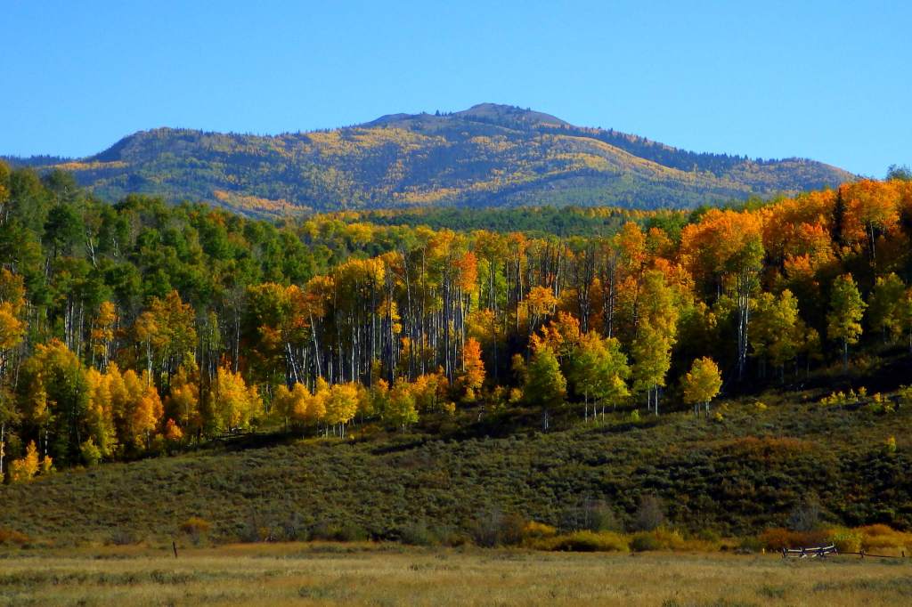
quaking aspen, eastern cottonwood, balsam poplar, Rocky Mountain maple, curlleaf mountain mahogany, sagebrush               

Explore More – Near Vedauwoo, a 60-foot-tall granite pyramid was built in 1882 to honor whom?

Know someone who loves the National Forests? Gift them our travel guidebook Out in the Woods so they can learn more about this and the 154 other National Forests.

Blackwell School National Historic Site

Blackwell School National Historic Site

Texas

Managed by National Park Service

Established 2022

0.5 acre

Website: nps.gov/blsc

Overview

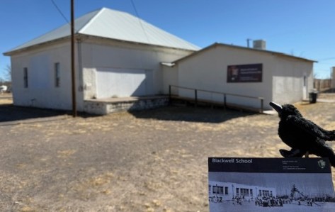
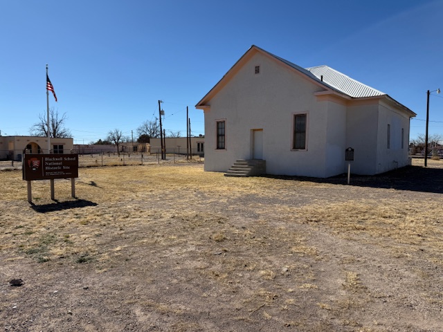
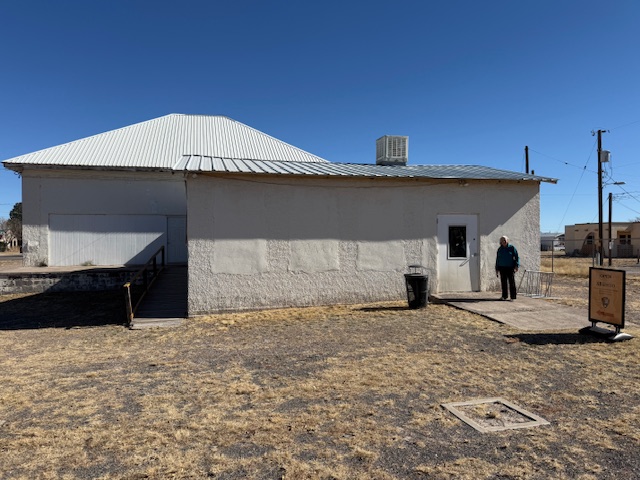
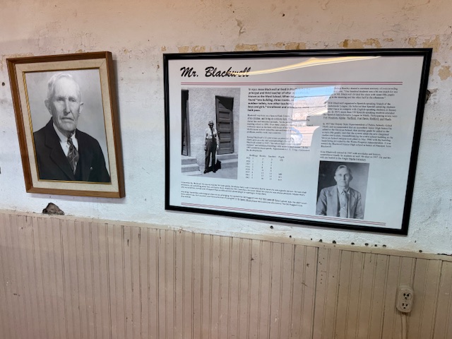
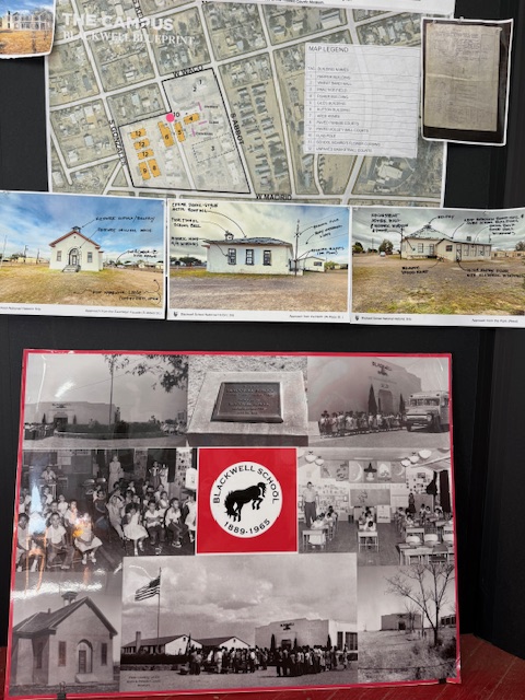
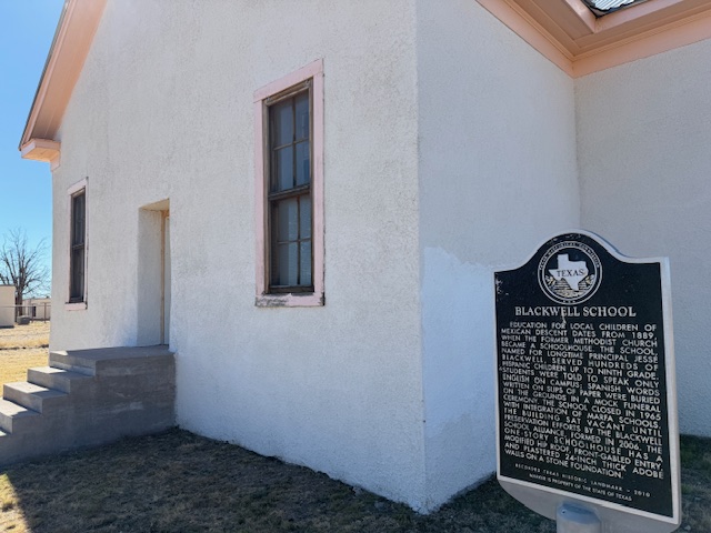
A three-room schoolhouse built for Marfa’s Hispanic children in 1909 is all that remains of a once larger campus (the Band Hall from 1927 is still attached).  Blackwell School was named for a prominent early principal, and it closed in 1965 following legally mandated integration more than a decade after the Brown v. Board of Education decision.  At its peak, the school had more than 600 students, with Hispanic students segregated, except on sports teams.  After 1954, students were no longer allowed to speak Spanish on campus with a mock funeral held for the language and corporal punishment inflicted upon violators.  Not all former students wanted to preserve this site where “separate but equal” education was practiced, but enough felt it was important to recall this history.  The main building was saved from demolition by the nonprofit Blackwell School Alliance who helped the National Park Service (NPS) acquire the property from the Marfa Independent School District in 2024.  The NPS has plans to reconstruct a belltower atop the adobe building. 
Highlights

School building, playground

Must-Do Activity

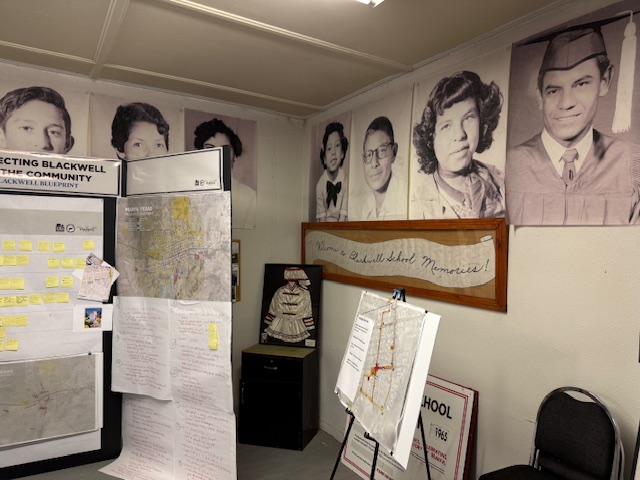
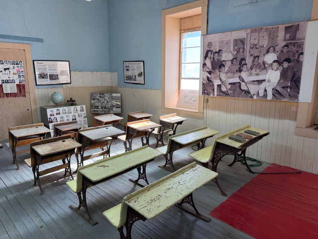
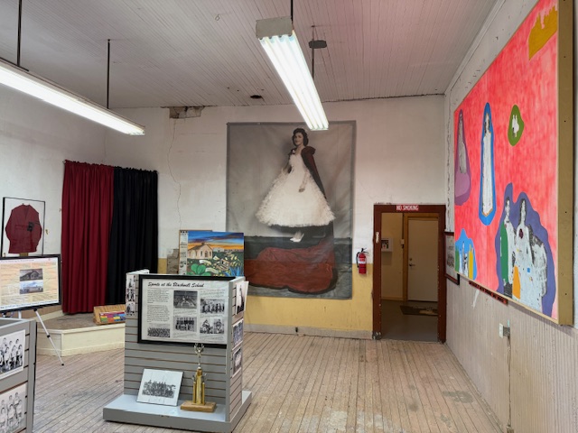
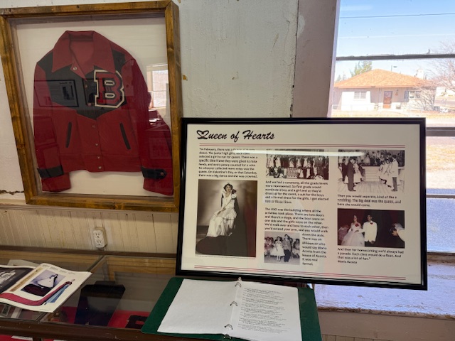
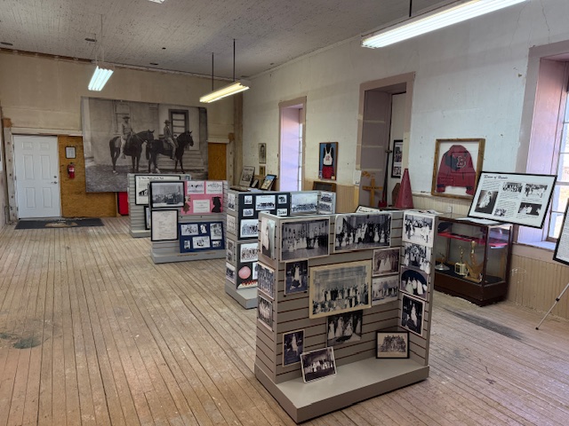
You definitely want to arrive when an NPS employee is on site to allow you inside the building and to explain its history.  There are artifacts and informational panels on display inside.  There is even a coloring book available in both English and Spanish that explains the story of Blackwell School to children. 

Best Trail

None

Photographic Opportunity

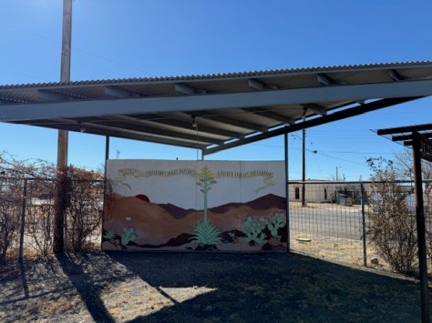
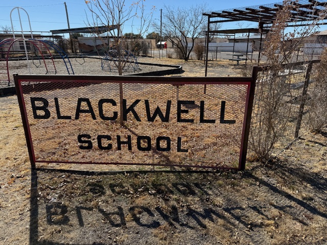
In the lot next to the school building is a playground, and there are plans to install outdoor interpretive signs and photos under the awning to provide information to visitors when the site is closed on weekdays.

Peak Season

Winter

Hours

Currently 12-4 on Saturdays and Sundays only

https://www.nps.gov/blsc/planyourvisit/basicinfo.htm

Fees

None

Road Conditions

Paved street parking is available at the site in Marfa.

Camping

There is an RV park in Marfa, or you can boondock at the Marfa Lights viewing area that has bathrooms.  Big Bend National Park takes reservations for its campsites (with no hookups).

Related Sites

Brown v. Board of Education National Historical Park (Kansas)

César E. Chávez National Monument (California)

Fort Davis National Historic Site (Texas)

Guadalupe Mountains National Park (Texas)

Nearest National Park

Big Bend

Explore More – When was the first ever school opened in Marfa?

Chamizal National Memorial

Chamizal National Memorial

Texas

Managed by National Park Service

Established 1974

55 acres

Website: nps.gov/cham

Overview

The Rio Grande forms the international border between the U.S. and Mexico for 1,248 miles, but in El Paso the river changed course suddenly in 1864 creating Cordova Island and leading to a 630-acre land dispute that lasted a century.  An 1884 treaty agreed in principle that if the river changed course slowly by erosion, then the boundary moved with the deepest channel, but a commission investigating it a decade later found that Americans were settling land owned by Mexico.  The issue remained contentious, with a 1909 meeting between Presidents Taft and Diaz almost resulted in the assassination of them both.  Finally, a 1963 settlement involved displacing 5,600 Americans, as well as moving a railroad, school, bridge, and the river channel itself.  Chamizal National Memorial was authorized by Congress three years later to celebrate the goodwill inherent to this treaty with a history museum, as well as three art galleries and a 500-seat indoor theater. 

Highlights

Museum, film, Franklin G. Smith Gallery, Benito Juarez sculpture, Nuestra Herencia mural

Must-Do Activity

There is a film shown in the visitor center, in addition to the museum about the treaty and exhibits in the art galleries that change every few months.  Summer concerts take place in the outdoor amphitheater and the Chamizal Festival is held the first weekend in October featuring music, crafts, dance, and visual arts. The park annually holds a Siglo de Oro Drama Festival in the spring, when acting troupes performed plays from the golden age of Spanish theater, including those by Lope de Vega.  In September 2025, the first Chihuahuan Desert Festival was held throughout the city of El Paso.  Check the National Park Service website or Facebook page for events throughout the year. 

Best Trail

There are walking trails around the 55-acre property that pass some of the historic boundary markers along East Paisano Drive. 

Photographic Opportunity

Nuestra Herencia is a very colorful mural painted on the outside of the visitor center.

Peak Season

Spring and fall

Hours

https://nps.gov/cham/planyourvisit/hours.htm

Fees

None

Road Conditions

Access roads are paved, but be careful how you get there because it is very close to a border crossing station and you do not want to accidentally wind up in Ciudad Juarez, Mexico.

Camping

There are private campgrounds in El Paso, or visit Franklin Mountains State Park for camping, hiking, mountain biking, and rock climbing opportunities.  Encompassing 24,248 acres, this is one of the largest urban parks in the country lying completely within city limits.

Related Sites

Amistad National Recreation Area (Texas)

Big Bend National Park (Texas)

Fort Davis National Historic Site (Texas)

Guadalupe Mountains National Park (Texas)

Nearest National Park

White Sands

Explore More – What does “chamizal” mean in Spanish?