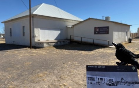
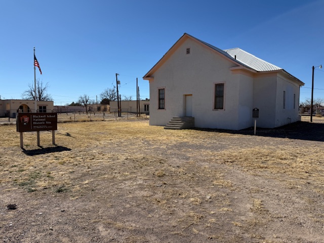
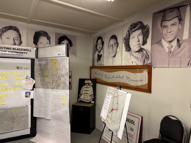
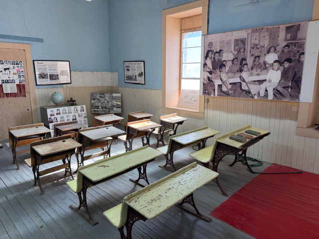
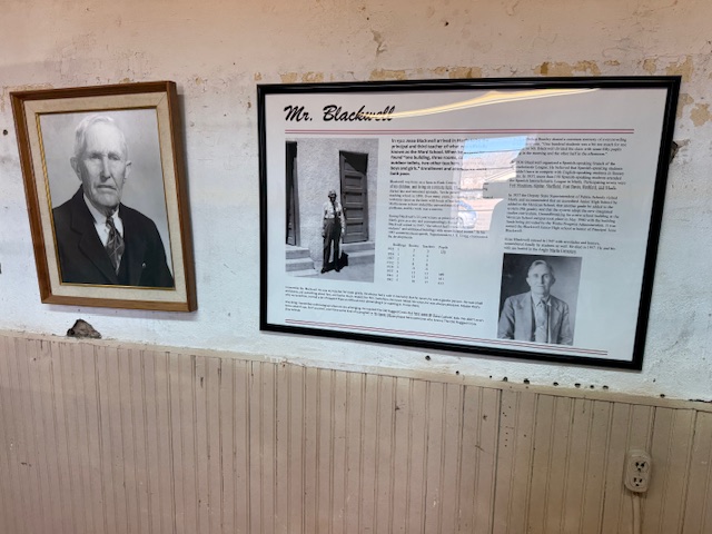
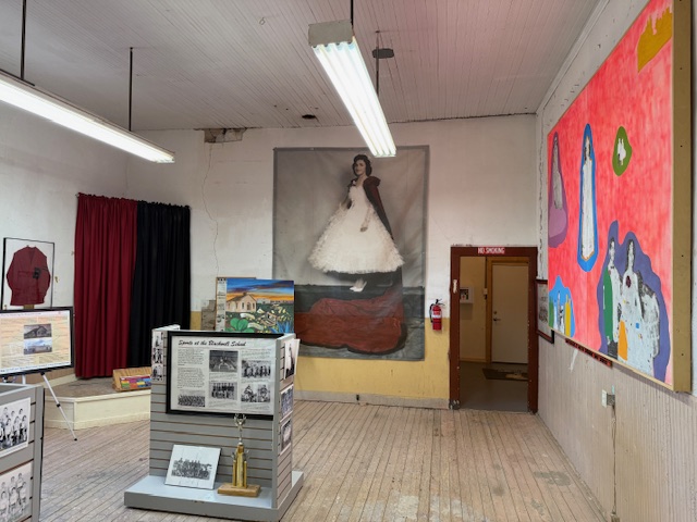
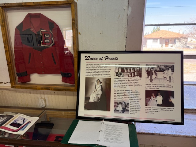
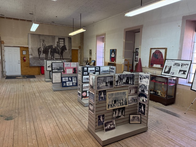
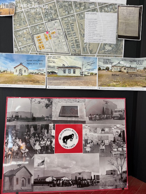
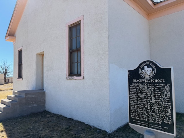
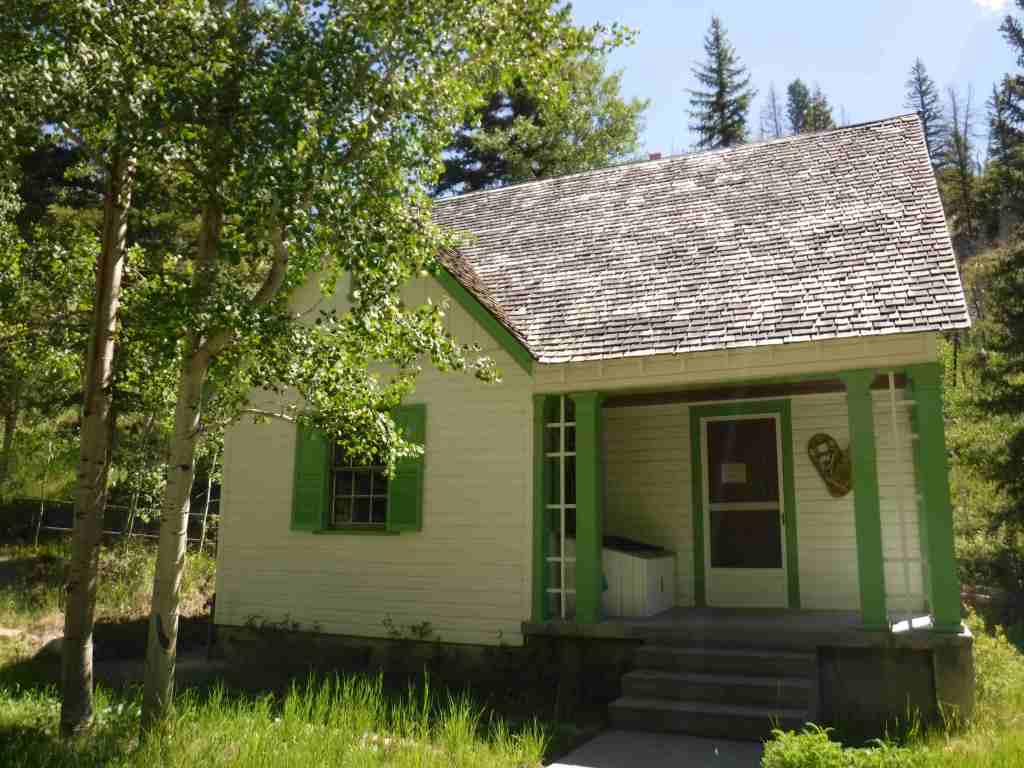
A three-room schoolhouse built for Marfa’s Hispanic children in 1909 is all that remains of a once larger campus (the Band Hall from 1927 is still attached). Blackwell School was named for a prominent early principal, and it closed in 1965 following legally mandated integration more than a decade after the Brown v. Board of Education decision. At its peak, the school had more than 600 students, with Hispanic students segregated, except on sports teams. After 1954, students were no longer allowed to speak Spanish on campus with a mock funeral held for the language and corporal punishment inflicted upon violators. Not all former students wanted to preserve this site where “separate but equal” education was practiced, but enough felt it was important to recall this history. The main building was saved from demolition by the nonprofit Blackwell School Alliance who helped the National Park Service (NPS) acquire the property from the Marfa Independent School District in 2024. The NPS has plans to reconstruct a belltower atop the adobe building.
Highlights
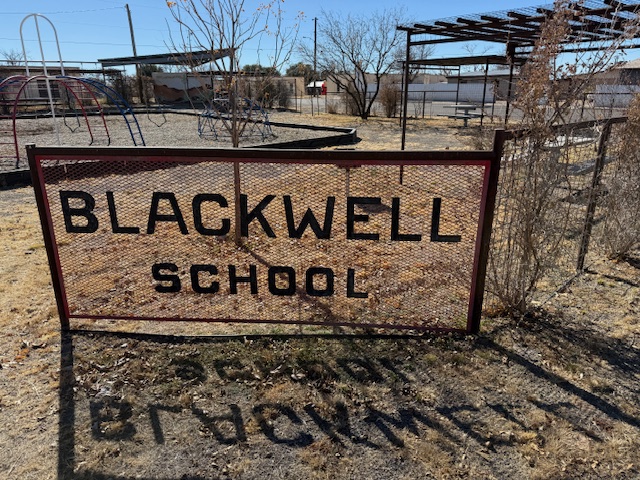
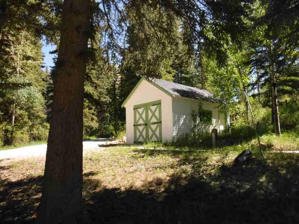
School building, playground
Must-Do Activity
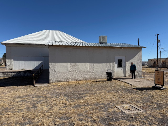
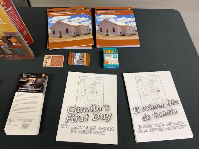
You definitely want to arrive when an NPS employee is on site to allow you inside the building and to explain its history. There are artifacts and informational panels on display inside. There is even a coloring book available in both English and Spanish that explains the story of Blackwell School to children.
Best Trail
None
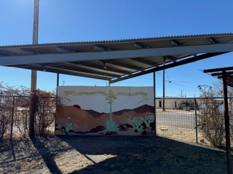
Photographic Opportunity
In the lot next to the school building is a playground, and there are plans to install outdoor interpretive signs and photos under the awning to provide information to visitors when the site is closed on weekdays.
Paved street parking is available at the site in Marfa.
Camping
There is an RV park in Marfa, or you can boondock at the Marfa Lights viewing area that has bathrooms. Big Bend National Park takes reservations for its campsites (with no hookups).
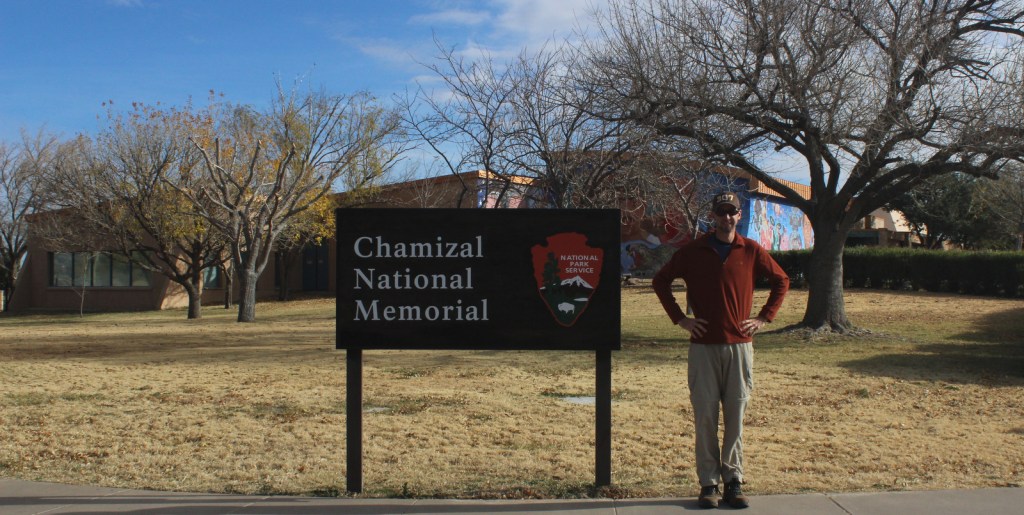
The Rio Grande forms the international border between the U.S. and Mexico for 1,248 miles, but in El Paso the river changed course suddenly in 1864 creating Cordova Island and leading to a 630-acre land dispute that lasted a century. An 1884 treaty agreed in principle that if the river changed course slowly by erosion, then the boundary moved with the deepest channel, but a commission investigating it a decade later found that Americans were settling land owned by Mexico. The issue remained contentious, with a 1909 meeting between Presidents Taft and Diaz almost resulted in the assassination of them both. Finally, a 1963 settlement involved displacing 5,600 Americans, as well as moving a railroad, school, bridge, and the river channel itself. Chamizal National Memorial was authorized by Congress three years later to celebrate the goodwill inherent to this treaty with a history museum, as well as three art galleries and a 500-seat indoor theater.
Highlights
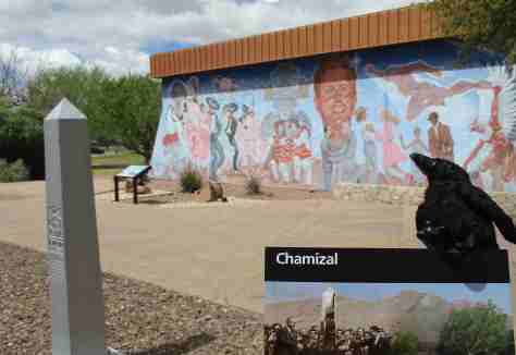
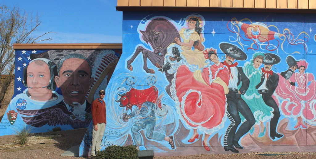
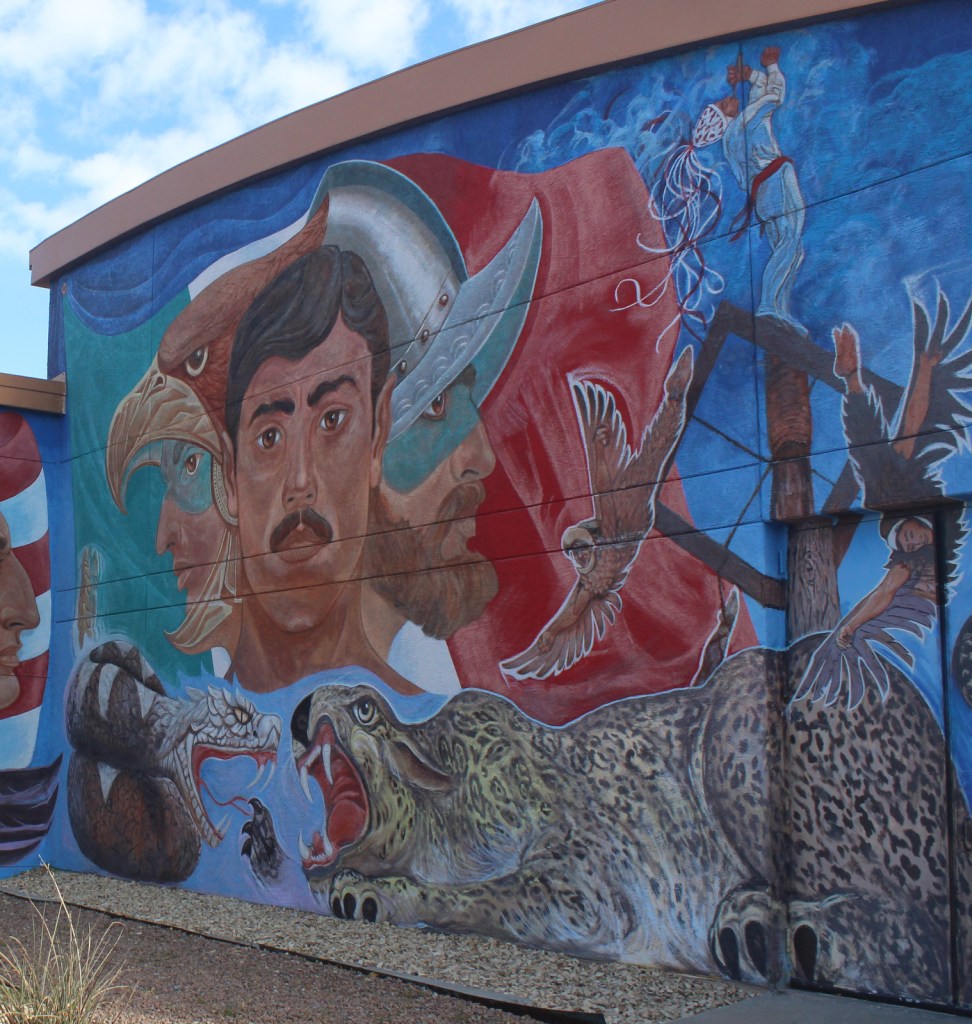
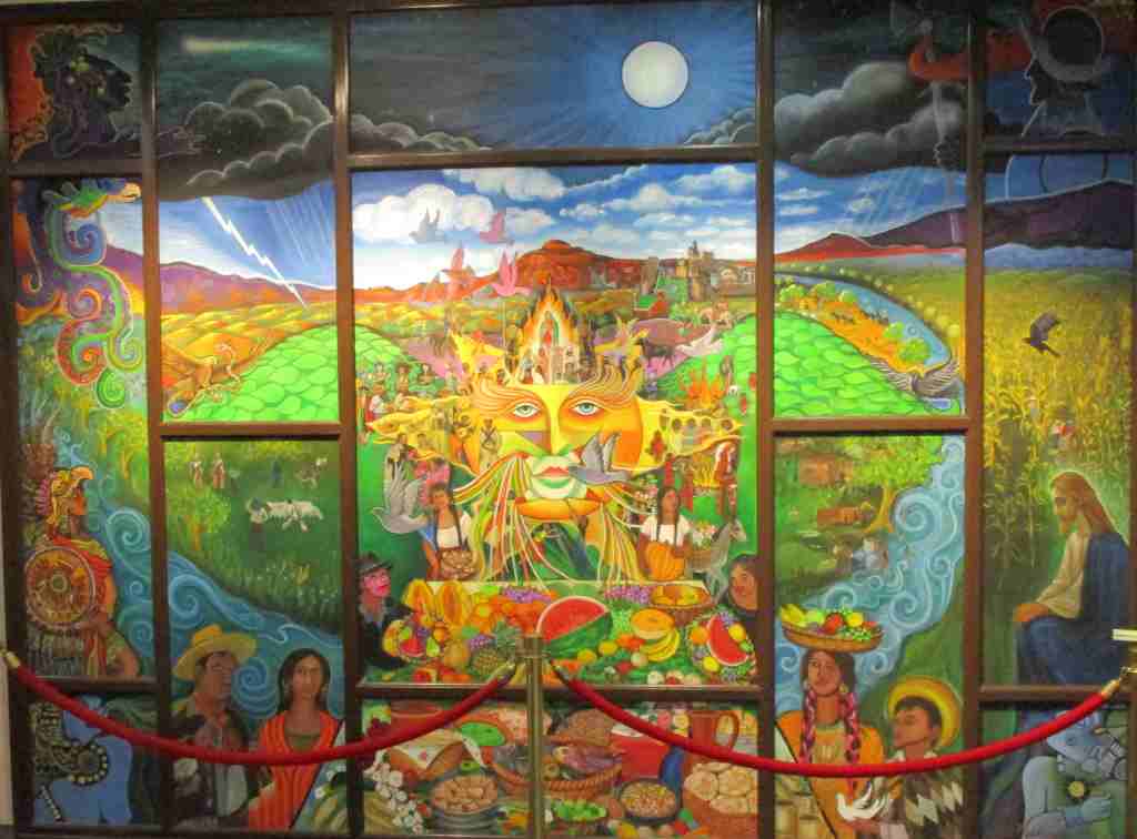
Museum, film, Franklin G. Smith Gallery, Benito Juarez sculpture, Nuestra Herencia mural
Must-Do Activity
There is a film shown in the visitor center, in addition to the museum about the treaty and exhibits in the art galleries that change every few months. Summer concerts take place in the outdoor amphitheater and the Chamizal Festival is held the first weekend in October featuring music, crafts, dance, and visual arts. The park annually holds a Siglo de Oro Drama Festival in the spring, when acting troupes performed plays from the golden age of Spanish theater, including those by Lope de Vega. In September 2025, the first Chihuahuan Desert Festival was held throughout the city of El Paso. Check the National Park Service website or Facebook page for events throughout the year.
Best Trail
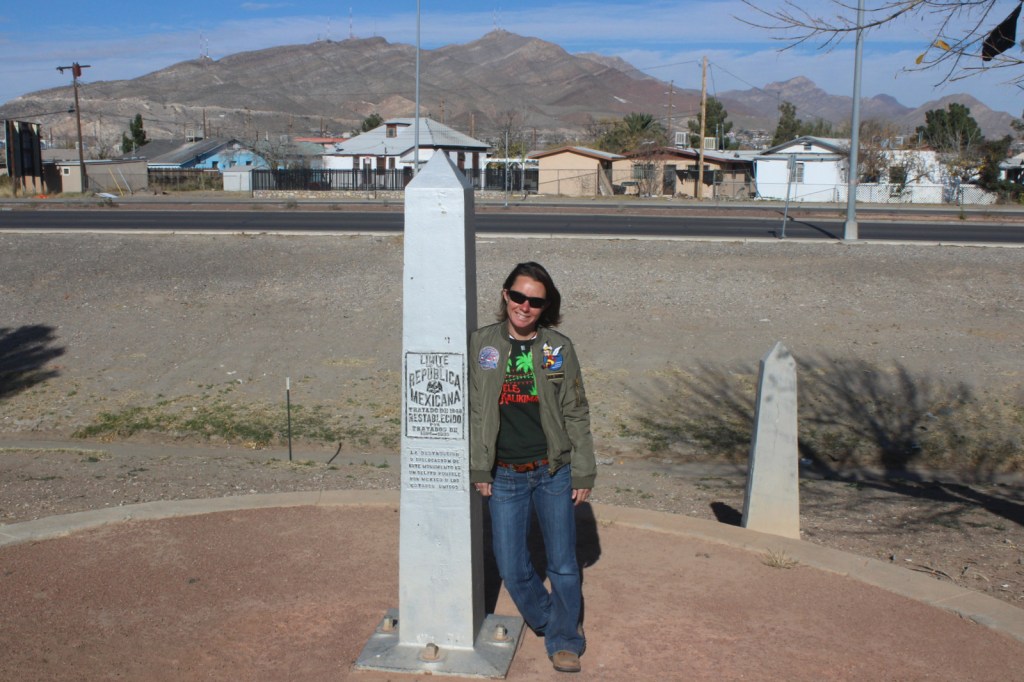
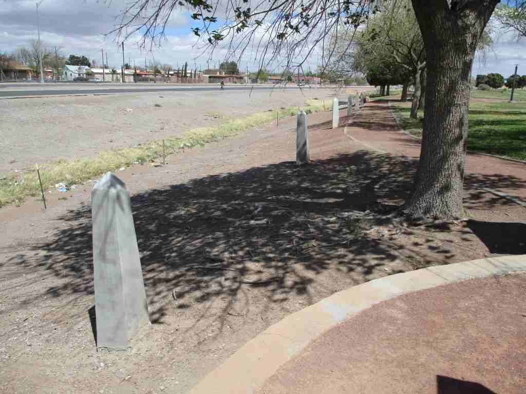
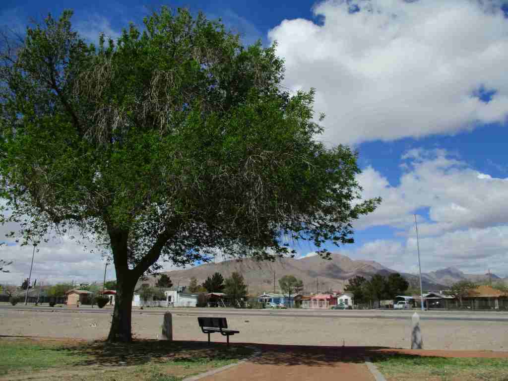
There are walking trails around the 55-acre property that pass some of the historic boundary markers along East Paisano Drive.
Photographic Opportunity
Nuestra Herencia is a very colorful mural painted on the outside of the visitor center.
Access roads are paved, but be careful how you get there because it is very close to a border crossing station and you do not want to accidentally wind up in Ciudad Juarez, Mexico.
Camping
There are private campgrounds in El Paso, or visit Franklin Mountains State Park for camping, hiking, mountain biking, and rock climbing opportunities. Encompassing 24,248 acres, this is one of the largest urban parks in the country lying completely within city limits.
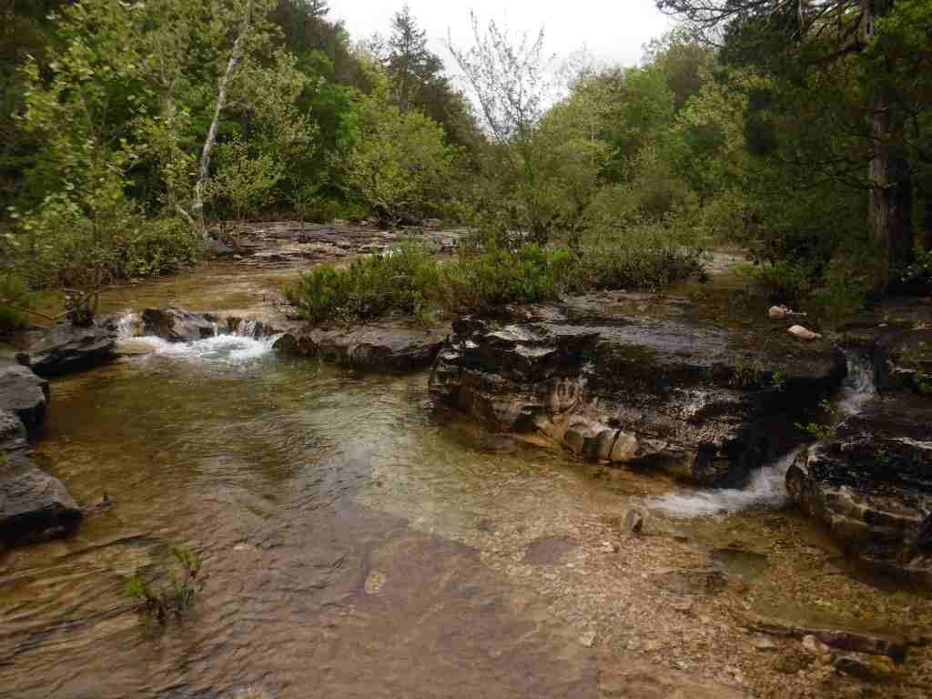
In the 1970s, the more northerly Clark National Forest in Missouri was administratively combined with Mark Twain National Forest, encompassing 11% of the state’s forests across 29 counties. Much of the forest was planted by the Civilian Conservation Corps (CCC), with their work still visible at the Rolla Ranger Station and Winona Ranger Station Historic Districts. Spread across nine separate units throughout southern Missouri’s Ozark Mountains, Mark Twain National Forest’s Karst topography is full of caves, sinkholes, streams, and springs. Greer Spring is the second largest in Missouri with a daily flow of 222-million gallons as it drains 1.25 miles into the Eleven Point National Scenic River. Greer Spring is accessible by a one-mile trail downhill from Highway 19, but no fishing or wading is allowed.
Know someone who loves the National Forests? Gift them our travel guidebook Out in the Woods so they can learn more about this and the 154 other National Forests.
Highlights
Glade Top Trail Scenic Byway, Blue Buck Knob Scenic Byway, Greer Spring, Table Rock Lake, Council Bluff Recreation Area, Overcup Oak Sink, Silver Mine Recreation Area, Bellevue Trail, Cedar Creek Trail, Devil’s Backbone Trail, Ridge Runner National Recreation Trail, Big Piney Trail, Ozark Trail
Must-Do Activity
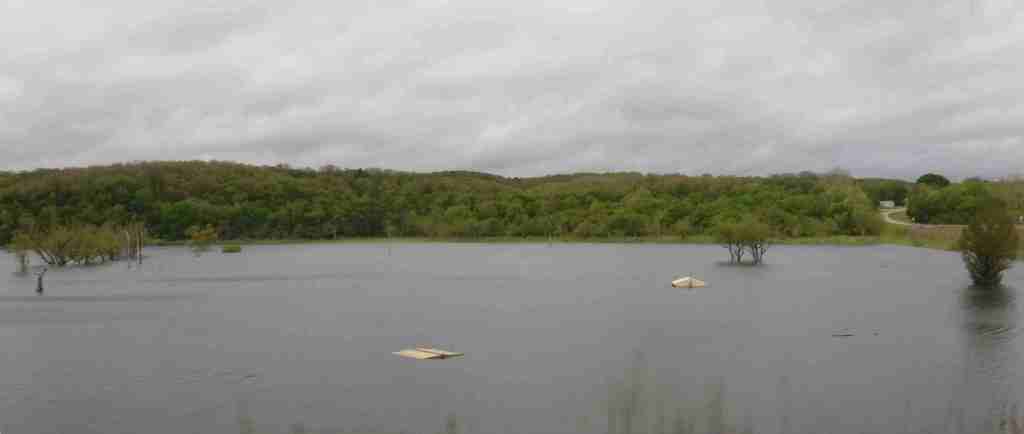
Most trails in Mark Twain National Forest are open to hikers, mountain bikers, and equestrians, including Ridge Runner National Recreation Trail that totals 33 miles. Two areas at Chadwick and Sutton Bluff are designated for ATV, UTV, and motorcycle use. Fishing is a popular activity on the Eleven Point National Scenic River and numerous lakes, like Noblett Lake and Table Rock Lake. There are so many recreation areas spread around this massive National Forest, it is impossible to cover them all here. We recommend you start with one of the spots listed under Highlights above.
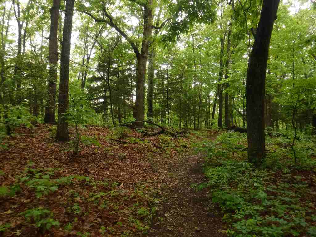
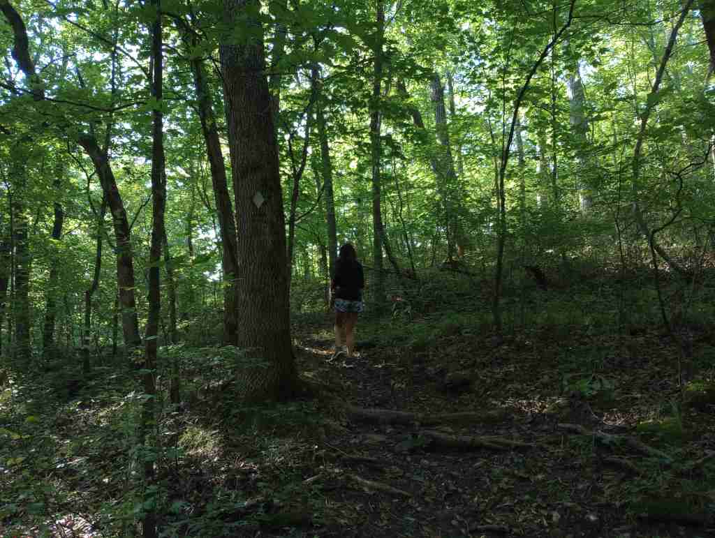
Best Trail
Mark Twain National Forest has several long trails that explore its 78,000 acres of Wilderness areas, including sections of the 350-mile Ozark Trail. Northeast of Branson, Hercules-Glades Wilderness protects 12,413 acres of forested hillsides, limestone outcroppings, and glades of native grasses. There are three trailheads on the edge of the Wilderness, but we chose Blair Ridge because of its paved access 5.3 miles off Highway 160. From a small roadside parking area, the trail follows a ridgeline for 1.2 miles to some excellent backpacking campsites that overlook the countryside before it drops 600 feet in the next mile. At that point the trail intersects with Coy Bald Trail, which can be taken a short distance to a small scenic waterfall on Long Creek.
Watchable Wildlife
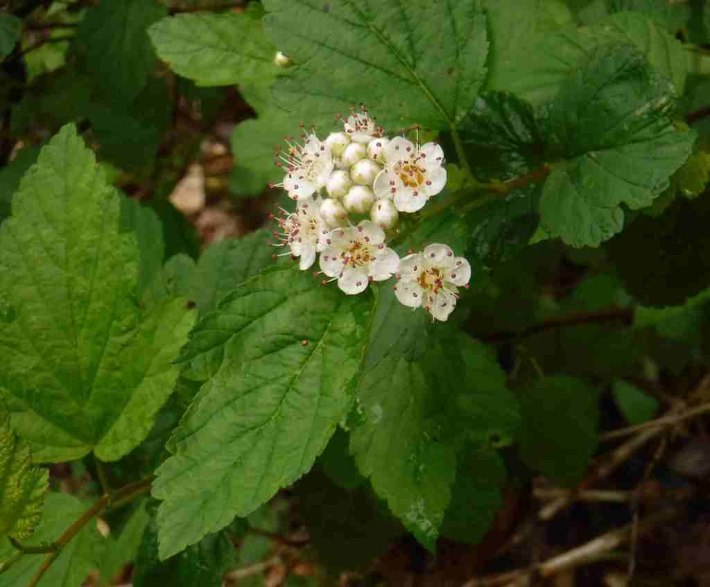
The Ozark Mountains provide habitat for common eastern species like white-tailed deer, wild turkeys, gray squirrels, cottontail rabbits, red foxes, and raccoons. You may also encounter venomous copperheads, timber rattlesnakes, and pygmy rattlesnakes. The oak savannahs are home to several endemic plants, as well as prickly pear cacti and animals more associated with the Southwest U.S., like roadrunners, collared lizards, scorpions, and tarantulas. Gamefish include smallmouth bass, largemouth bass, rock bass, walleye, and rainbow trout.
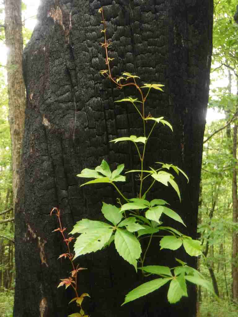
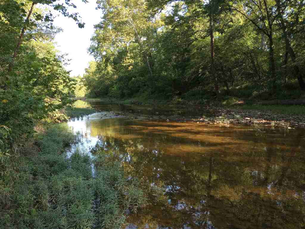
Photographic Opportunity
Between Jefferson City and Columbia, Pine Ridge Recreation Area accesses Cedar Creek Trail, which has multiple trailheads and four loops totaling 36 miles.
Peak Season
Spring and fall
Fees
There are day use fees at several sites, including $5 at Noblett Lake and $2 at Blue Hole Trailhead and North Fork Recreation Area
Road Conditions
Many of the curvy back roads in Mark Twain National Forest are paved, such as Blair Ridge that led to a trailhead 5.3 miles off Highway 160. There are likely some rough unpaved roads in the Ozarks, so check road conditions before departing.
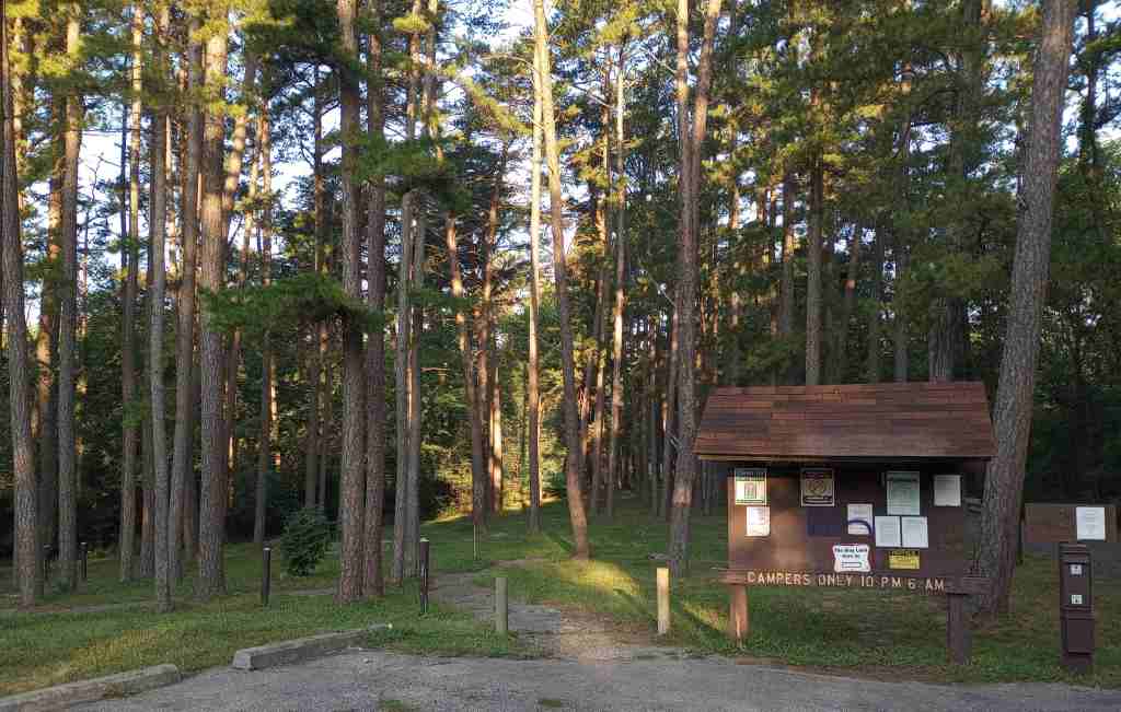
Camping
There are numerous campgrounds in Mark Twain National Forest, although it can be harder to find good dispersed campsites due to the proximity to private land. In the northernmost area outside Columbia, we paid to camp in the quiet Pine Ridge Recreation Area. On the edge of the Hercules-Glades Wilderness at the Hercules Tower (with restrooms) and Coy Bald Trailheads, there are a handful of car camping sites for free.
sweetgum, water tupelo, sugar maple, red maple, boxelder, honeylocust, Ohio buckeye, red buckeye, black cherry, sassafras, persimmon, Kentucky coffee tree, black gum, blackjack oak, Nuttall oak, overcup oak, white oak, black oak, scarlet oak, post oak, black hickory, shagbark hickory, mockernut hickory, bitternut hickory, brookside alder
Explore More – Mark Twain National Forest’s Greer Spring is the second largest natural spring in Missouri, so which one is in first place?
Know someone who loves the National Forests? Gift them our travel guidebook Out in the Woods so they can learn more about this and the 154 other National Forests.
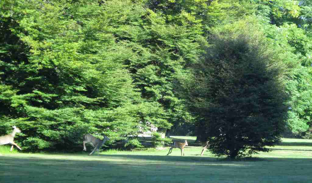
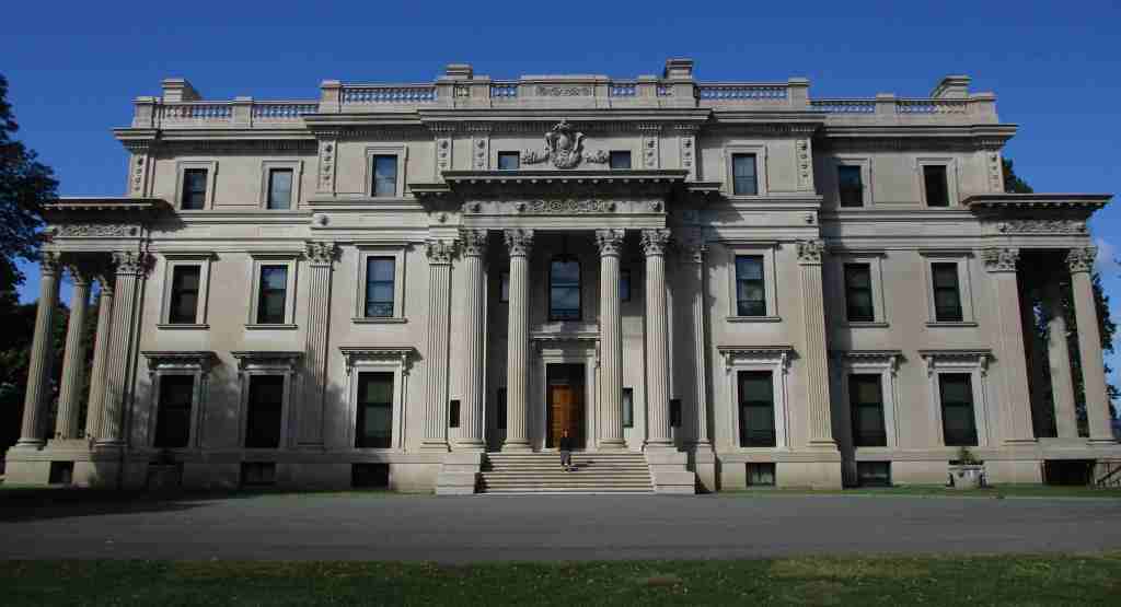
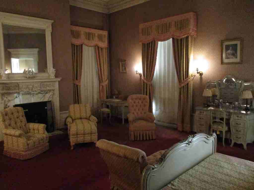
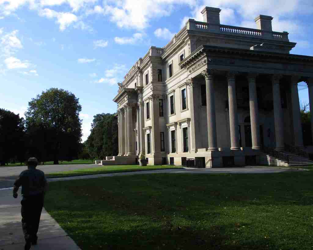
The Gilded Age is the term referring to the period from the Civil War to the end of the century, a time of growth in industry and immigration. Gilding is the process of putting a thin layer of gold on an object to improve its appearance and was used as a slight to the nouveau riche families that built lavish mansions and threw extravagant parties. Shipping and railroad tycoon Cornelius Vanderbilt’s grandson Frederick purchased this 600-acre Hyde Park estate in 1895. He and his wife Louise had the mansion there torn down and it took nearly four years to complete their 54-room mansion ornamented in beaux arts style. It was the first in the area to have electricity, which was supplied by its own hydroelectric plant. It was inhabited by the family only in the spring and fall with as many as 60 staff needed to run the place. When Louise’s niece could not sell the property during the Great Depression, her neighbor President Franklin D. Roosevelt suggested she donate it to the National Park Service.
Highlights
Mansion, Pavilion, Formal Gardens, Hyde Park Trail
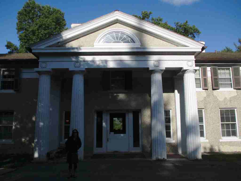
Must-Do Activity
The only way inside the mansion is on a one-hour guided tour that does not take reservations. They can be purchased at the visitor center inside The Pavilion, a guest house built in 66 days in 1895. The grounds are free to explore, where you can walk on the carriage roads, picnic at the overlook, and peruse the Italian gardens. The mansion was designed by the leading architectural firm McKim, Mead & White, known for their emphasis on high classicism. It features a large living room, grand staircase, and semicircular portico overlooking the Hudson River and Catskill Mountains. The house cost $660,000 at the time, while the interior furnishings pushed the total cost to $2.3-million (equivalent to about $90-million today) since many of the decorations were purchased in Europe.
Manti Forest Reserve dates back to 1903, becoming a National Forest four years later and expanded in 1915 with the addition of Nebo National Forest. Despite being separated by more than 100 miles, Manti and La Sal National Forests were combined in 1949, an early example of improved bureaucratic efficiency by the Forest Service. Due to this longstanding association, it can be difficult to find information for the more northerly Manti National Forest alone. Manti National Forest covers much of the Wasatch Plateau and also manages the busy Maple Canyon Trail system (technically in Uinta National Forest).
Know someone who loves the National Forests? Gift them our travel guidebook Out in the Woods so they can learn more about this and the 154 other National Forests.
Highlights
Energy Loop, Skyline, Eccles Canyon, Drive Scenic Backway, Stuart Guard Station National Historic Site, Electric Lake, Nelson Mountain, Maple Canyon, Fish Creek National Recreation Trail, Left Fork of Huntington Creek National Recreation Trail
Must-Do Activity
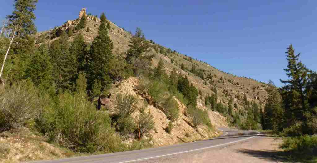
Many visitors to Manti National Forest drive the Energy Loop, named for Utah’s coal country, which partially follows the paved Huntington and Eccles Canyons Scenic Byway. Campgrounds, historic sites, reservoirs, trails, and trout streams are all accessible along the 86-mile drive. The more adventurous can take on the unpaved Skyline Drive Scenic Backway that climbs the Wasatch Plateau. This 58-mile route has many side roads popular with ATV and OHV drivers, and it is open to snowmobiles in the winter.
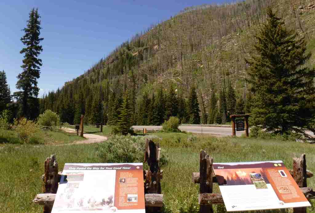
Best Trail
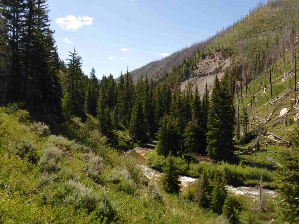
Easily accessible from the Energy Loop drive, the six-mile long Left Fork of Huntington Creek National Recreation Trail follows the canyon gaining 847 feet in elevation. It can be completed one-way downhill from Miller Flat Trailhead by leaving a vehicle at Forks of Huntington Campground. Despite a wildfire on the south canyon wall and subsequent erosion, the creek remains a good fishing spot, especially the lower half-mile that has interpretive signs on hydrology for children. The trail can also be joined with Horse Canyon, Scad Valley, and Mill Canyon Trails to form longer loops, but a vehicle shuttle would still be necessary to avoid walking the highway. Nearby, Fish Creek National Recreation Trail is ten miles long and open to travel by foot, horse, and bicycle.
Watchable Wildlife
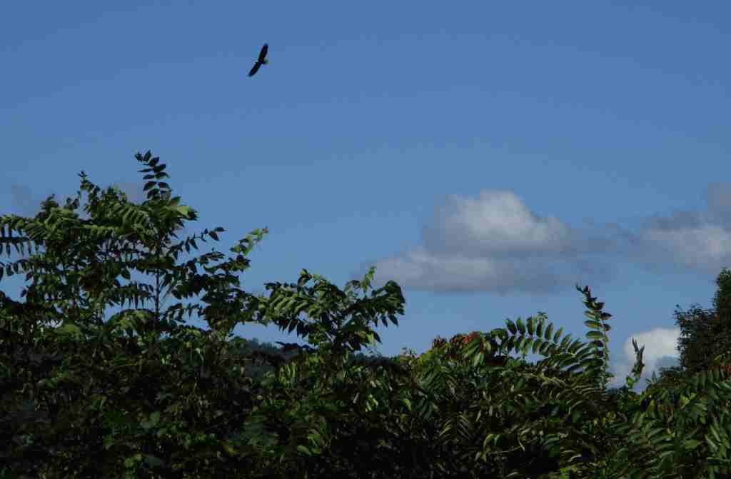
The Wasatch Plateau rises from 5,000 to over 10,000 feet in elevation, and its vertical escarpments and subalpine lakes support a diversity of habitats. Huntington Creek is one of the premiere fly-fishing streams in Utah. Joe’s Valley is a 1,200-acre reservoir that offers fishing for splake, and allows motor boats (as does Electric Lake). Large mammals found here include black bears, mountain lions, bobcats, coyotes, elk, mule deer, and pronghorns. Birds of Manti National Forest include bald eagles, golden eagles, northern goshawks, turkey vultures, wild turkeys, common ravens, and various species of owls and woodpeckers.
Photographic Opportunity
Fremont cottonwood trees are named for explorer John C. Fremont and this riparian species is an indicator of permanent subsurface water, with trunks that can reach more than four feet in diameter.
Peak Season
Spring and fall
Fees
None
Road Conditions
The Huntington and Eccles Canyons Scenic Byway is paved, but the Skyline Drive Scenic Backway is not. Check the Forest Service website for updates on road conditions and closures.
Camping
There are several designated campgrounds along Huntington and Eccles Canyons Scenic Byway, plus dispersed camping is allowed along most of the unpaved roads. Maple Canyon Campground is a popular destination with online reservations available May through October.
Explore More – In 1849, Brigham Young sent 225 settlers to the San Pitch (now Sanpete) Valley; where did they get the name Manti?
Know someone who loves the National Forests? Gift them our travel guidebook Out in the Woods so they can learn more about this and the 154 other National Forests.
Start your U.S. National Parks, National Forests, and National Monuments adventure here!