Overview
Navajo legend states that during a battle on Mount Taylor, the Twin Gods struck off a giant’s head which became Cabezon Peak, its blood flowing southward, coagulating into the Malpais. Meaning “the badland” in Spanish, this National Monument contains lava tubes and ice caves among its 114,000 rugged acres. Easily accessible from Interstate 40, it does not take long before you feel like you are in the middle of nowhere watching beautiful patterns of cloud shadows drift slowly across the landscape.

Highlights
El Calderon lava tubes, Sandstone Bluffs Overlook, Zuni-Acoma Trail, La Ventana Natural Arch
Must-Do Activity
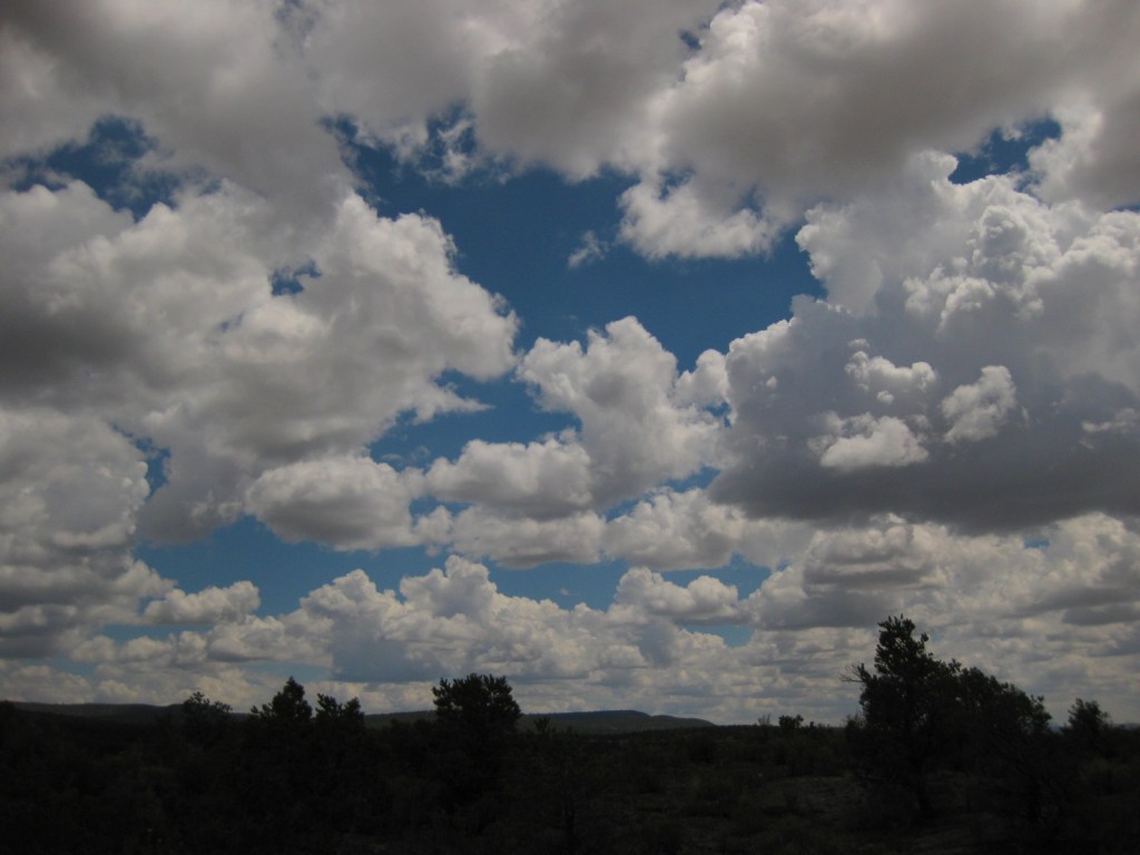
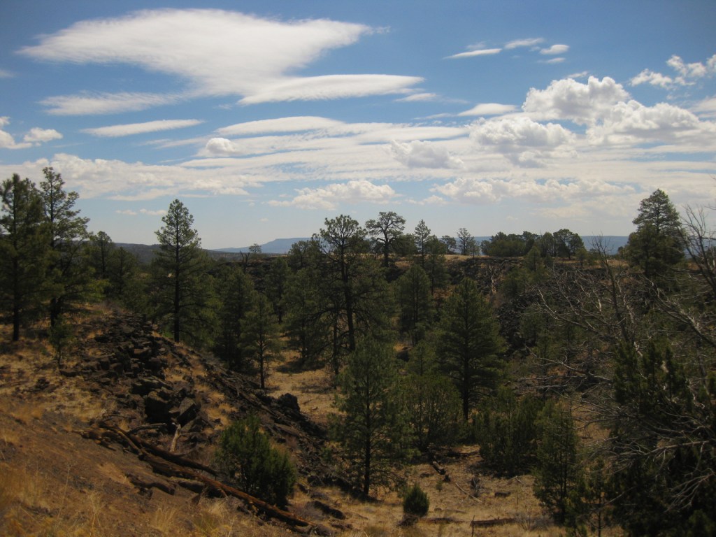
Be sure to take a hike to truly appreciate these lava flows, the most recent of which inundated agricultural fields of the Acoma people as recently as the 1400s. Carefully stepping across the jagged rocks, we wondered if another cinder cone may be forthcoming to the region. Geologists suggest that the volcanic activity in this area has ceased indefinitely, yet some of the eruptions here go back over a million years, making us wonder if it is only a temporary lull. Be careful during the monsoon season, when giant cumulostratus clouds form in the wide-open blue sky foretelling afternoon thunderstorms.
Best Trail
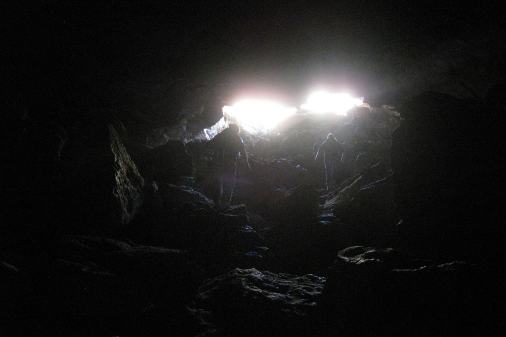
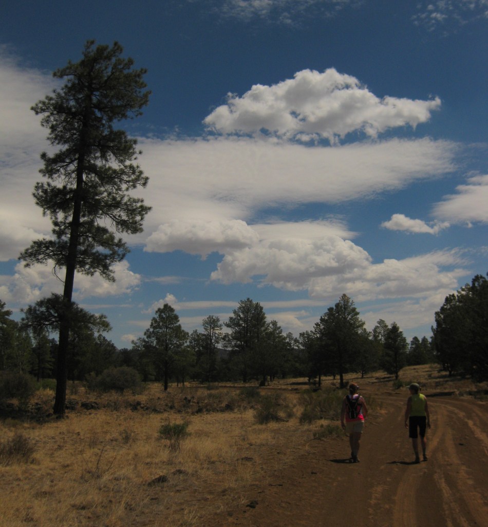
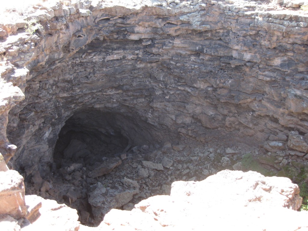
Lava tube caves are a major attraction to the park (and are sometimes closed), but before entering you must pick up a free permit to ensure you do not spread white-nosed bat syndrome. El Calderon Area is easier to access than the rough road to Big Tubes Area, and in a 3.8-mile loop passes a cinder cone and bat cave, then enters a lava tube. The Continental Divide National Scenic Trail and difficult 7.5-mile Zuni-Acoma Trail also traverse this mostly shadeless environment.
Instagram-worthy Photo
Take the short hike back to stand below towering La Ventana Natural Arch and enjoy the aroma of juniper wafting through the desert air. It is technically in the Bureau of Land Management’s El Malpais National Conservation Area, not the neighboring National Monument run by the National Park Service.

Peak Season
Summer
Hours
https://www.nps.gov/elma/planyourvisit/hours.htm
Fees
None
Road Conditions
Most trailheads are off paved roads, but some roads in El Malpais National Monument require four-wheel drive (especially when wet), so check at a visitor center before setting out.
Camping
There are no developed campgrounds, but primitive camping is allowed on back roads and in the surrounding Cibola National Forest. On Interstate 40, Bluewater Lake State Park has full RV hookups. There is also a small campground located west down Highway 53 in El Morro National Monument.
Related Sites
Petroglyph National Monument (New Mexico)
Lava Beds National Monument (California)
Sunset Crater Volcano National Monument (Arizona)
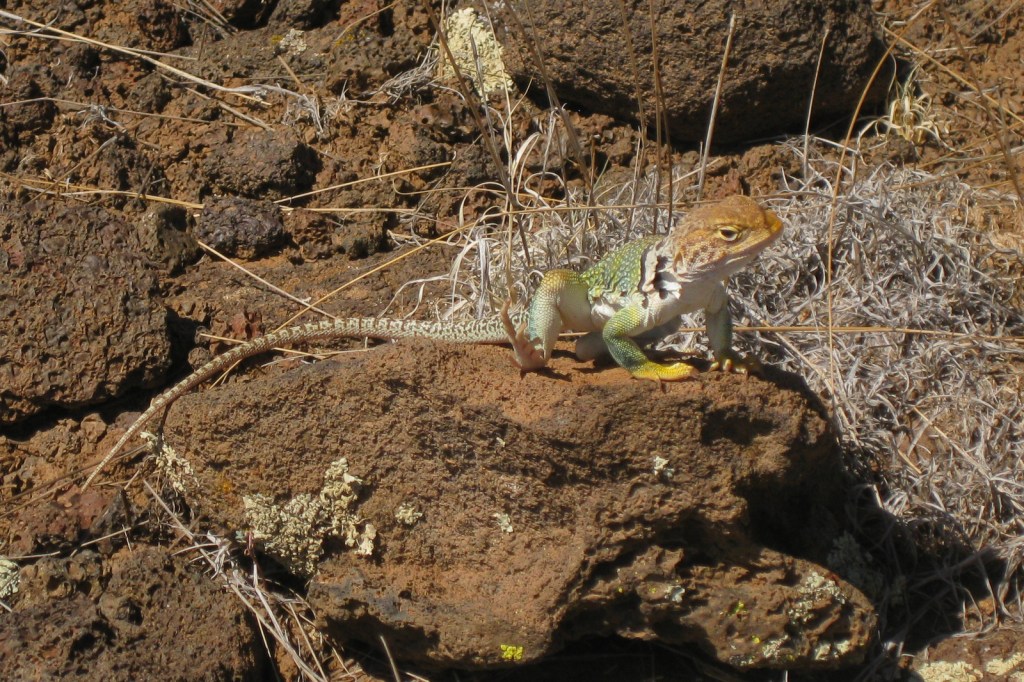
Collared lizard 
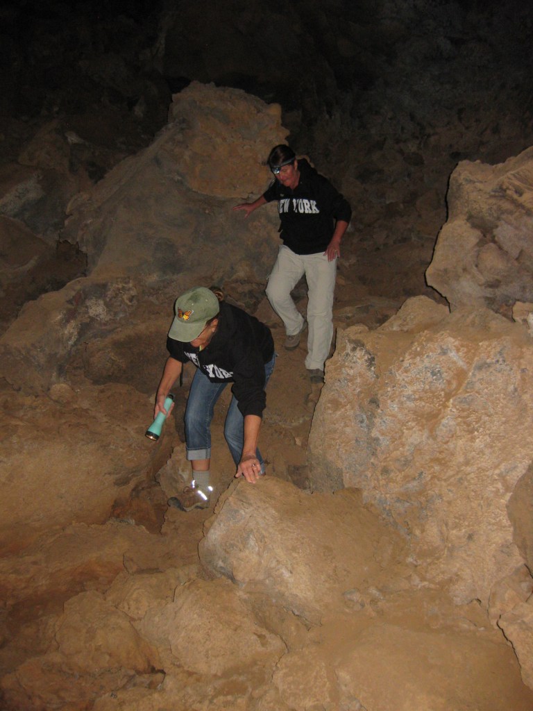
Scott and his aunt ready to enter a lava tube 

Wondon on the Continental Divide National Scenic Trail 
Explore More – Privately owned and open for tourists, what makes nearby Bandera Crater special?