Overview
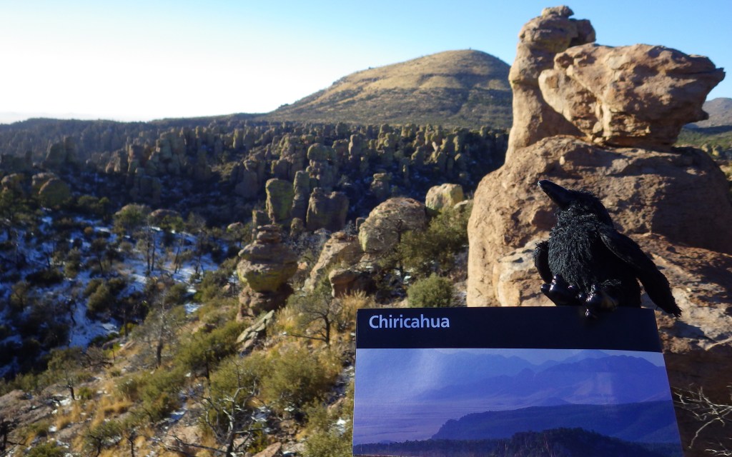
Tucked away in the southeastern corner of Arizona, Chiricahua National Monument was established in 1924 to protect a spectacular collection of rhyolite rock formations. Millions of years of erosion left behind tall pinnacles that rise above surrounding evergreen trees. A six-mile long paved road leads up from the National Park Service (NPS) visitor center to Massai Point for great views of the volcanic pillars. At an elevation of around 7,000 feet it can get cold in the winter, but still quite hot in the summer, so spring and fall are the best seasons to visit.
Highlights
Massai Point, Echo Canyon, Big Balanced Rock, Heart of Rocks Loop
Must-Do Activity
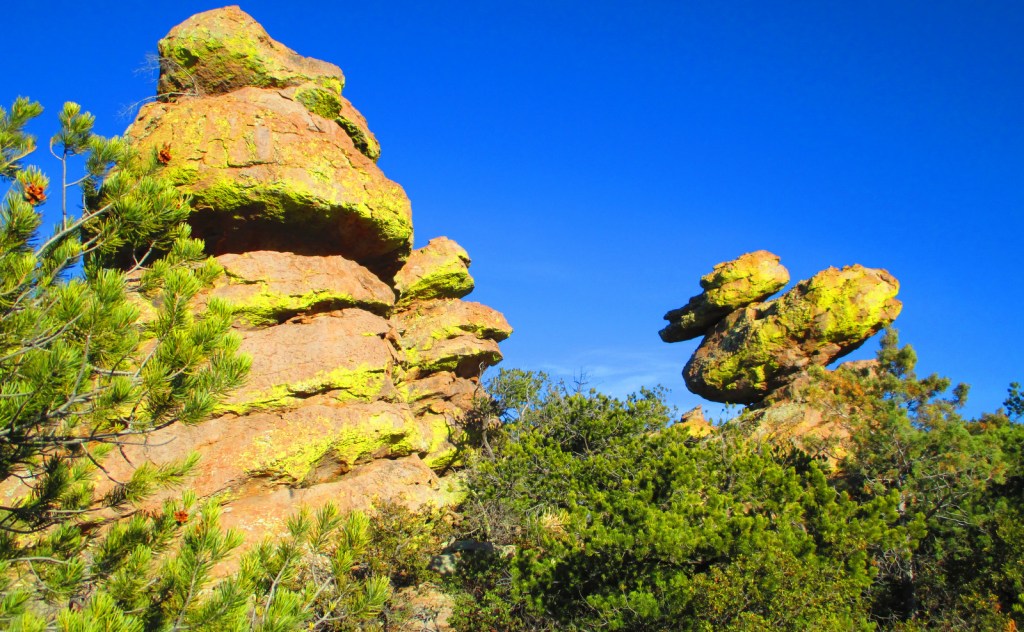
We recommend an all-day loop hike through Echo Canyon to the Heart of Rocks Loop where you will find rocks resembling camels, ducks, and anything else you can imagine. The wildlife and vegetation here is diverse and representative of many ecosystems because of the elevation range of this “sky island.” Many visitors that spend the night in the NPS campground report seeing coatimundi, a unique long-tailed omnivore related to the raccoon with a species distribution stretching into South America.
Best Trail
There are 17 miles of trails in the park and hiking is the best way to explore the rock formations. A self-guided loop at Massai Point is an option if you are short on time and cannot make it all the way to the impressive Big Balanced Rock.
Instagram-worthy Photo
There is a formation on the Heart of Rocks Loop that is appropriately known as Duck on a Rock.
Peak Season
Spring and fall
Hours
https://www.nps.gov/chir/planyourvisit/hours.htm
Fees
None
Road Conditions
All roads paved
Camping
The small 24-site NPS campground is known for its nocturnal visitations by coatimundi.
Related Sites
Coronado National Memorial (Arizona)
Organ Pipe Cactus National Monument (Arizona)
Tumacacori National Historical Park (Arizona)

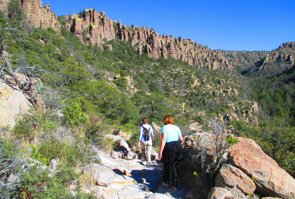
Hiking Echo Canyon in November 

Hiking Echo Canyon 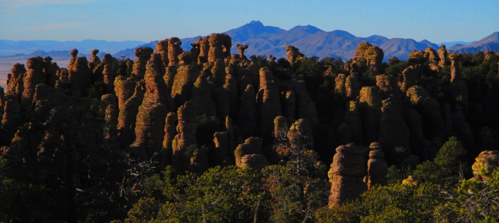

Big Balanced Rock 
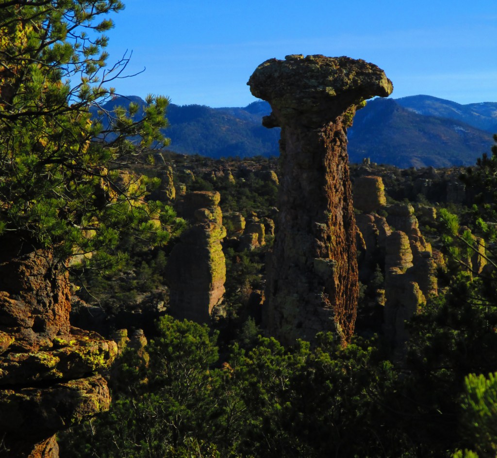
Camel Rock 

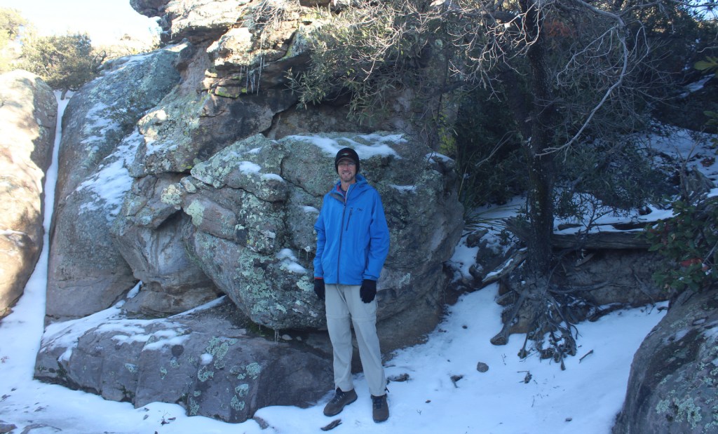
Scott during a snowy December visit
Explore More – Big Balanced Rock is 22-feet in diameter, so how much is it estimated to weigh?