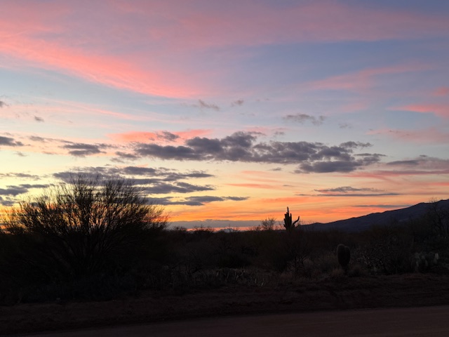
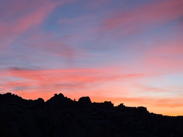
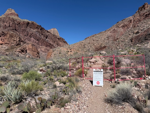
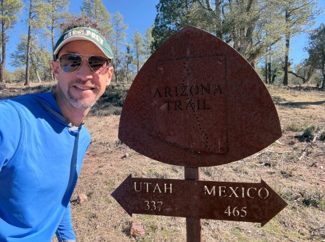
With temperatures 28 degrees above average in the Sonoran Desert, I jumped ahead 200 miles on the Arizona Trail to my home in Pine at Mile 459. After two “zero days” I was able to quickly cover the higher elevation miles and made it back to where I started on the South Rim of the Grand Canyon at Mile 700. The final six days I backpacked 187 miles, which I did not think I was capable of before I started on the AZT. This was all at elevations above 6,000 feet with the last 100 miles including water carries of 22, 17, 18, and 21 miles between refills. It was great to see friends and family in Pine and Flagstaff. I have surpassed 500 miles on the 800-mile AZT and will now return to the section I skipped north of the Gila River. Good news is the National Park Service is planning to reopen the North Kaibab Trail on May 15, so if I wait I may be able to do the final 100 miles through the Grand Canyon and up to the Utah border.
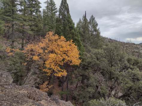
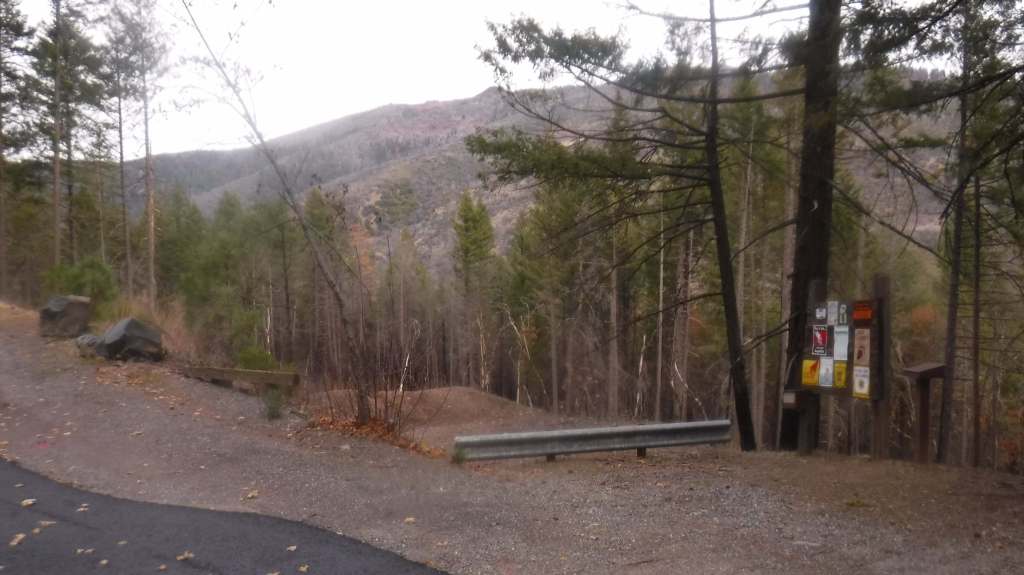
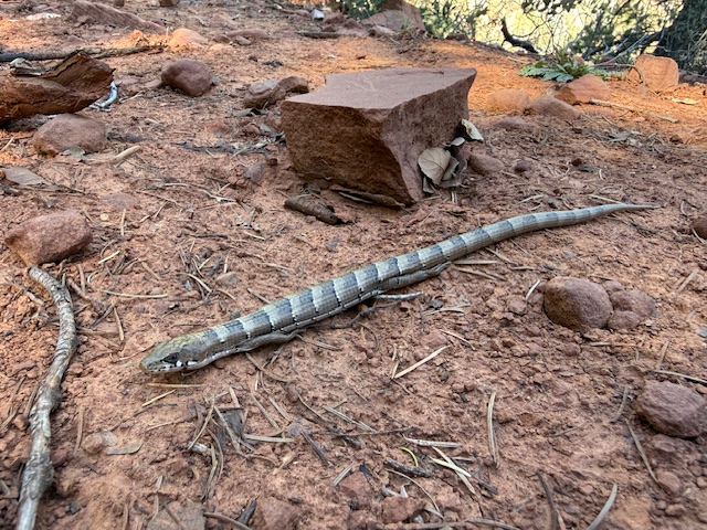
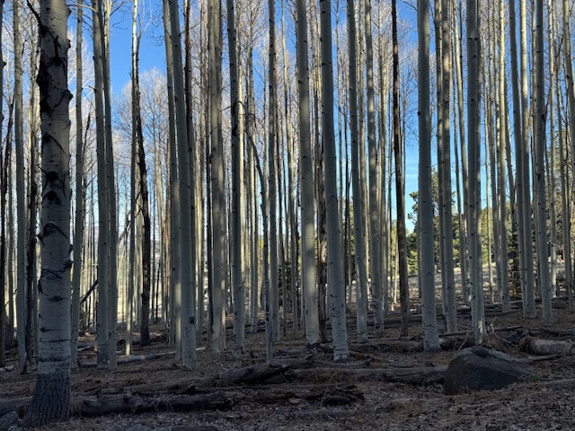
Arizona Trail Day 16, Mile 459 to 483 after jumping ahead 200 miles to my home in Pine I picked up the Highline Trail to the top of the Mogollon Rim. Enjoyed the cooler temperatures and the first Arizona cypress trees along the route, plus I saw a Madrean alligator lizard.
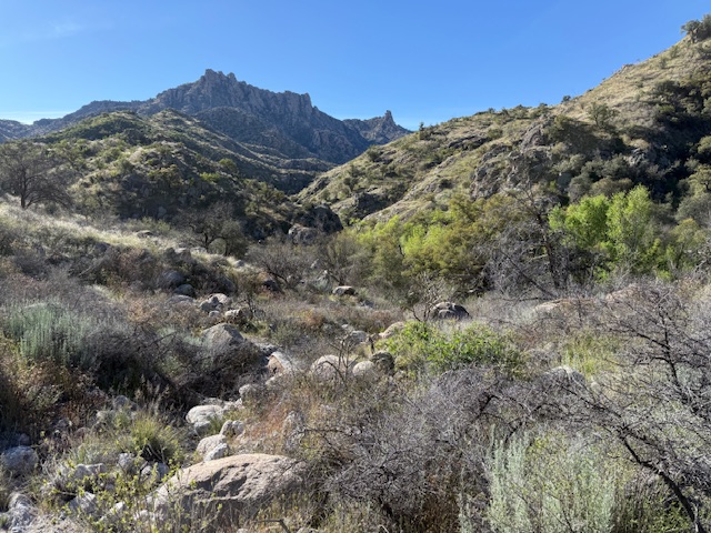
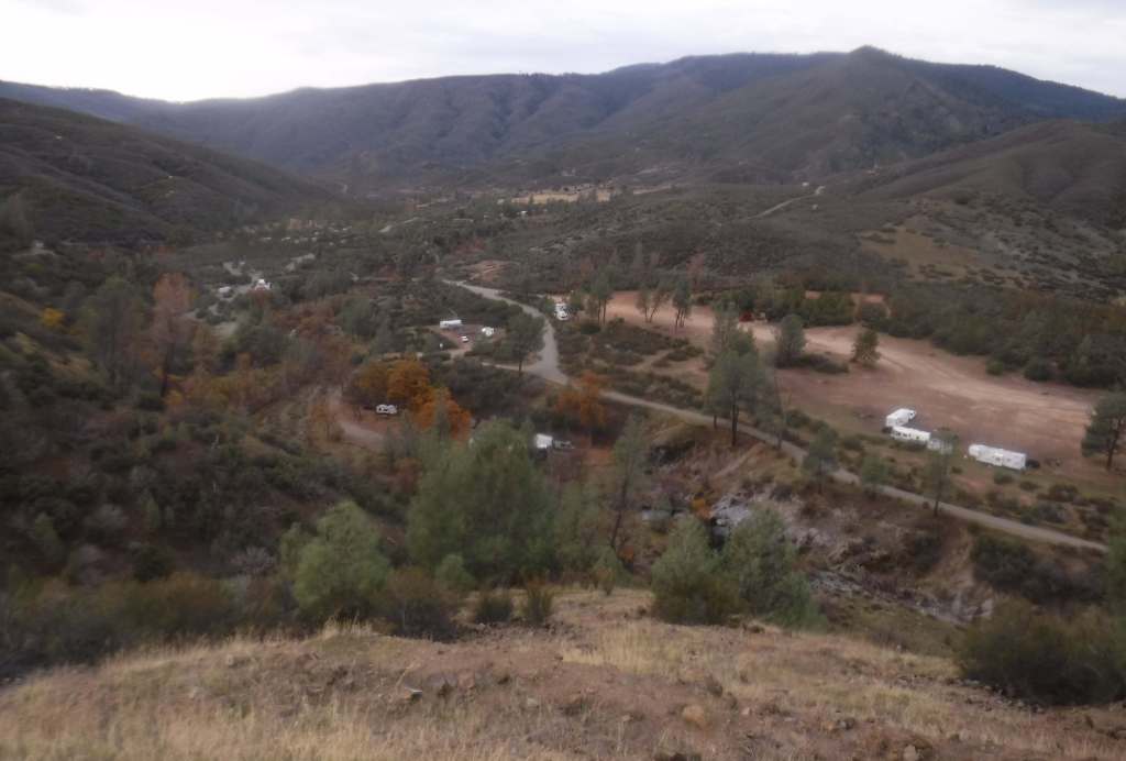
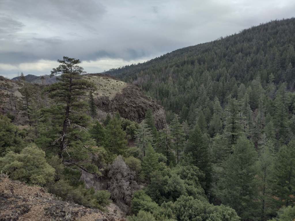
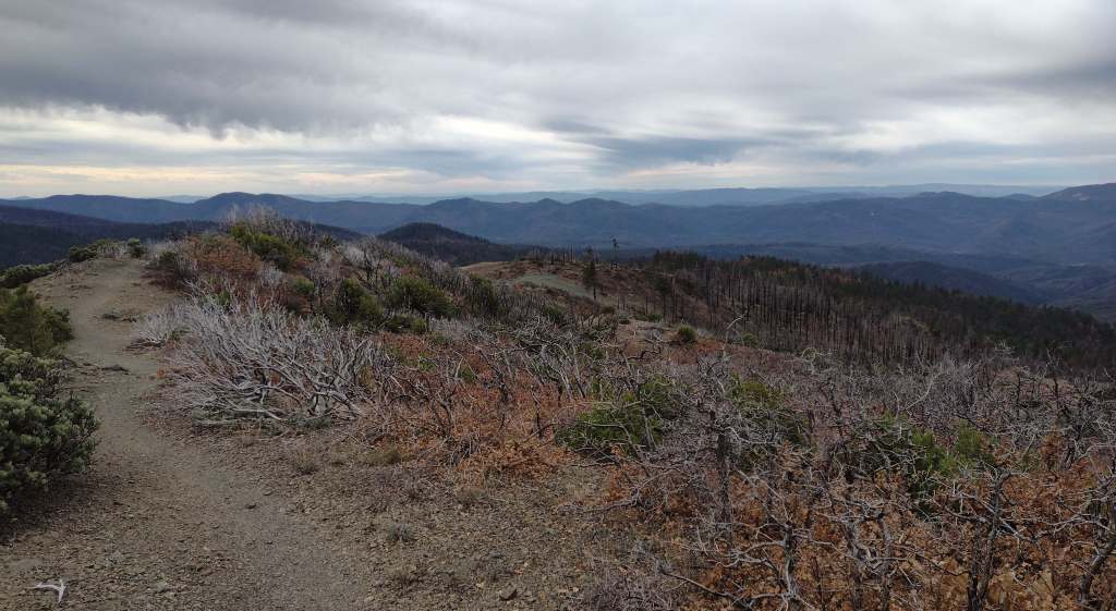
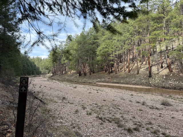
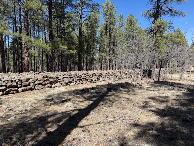
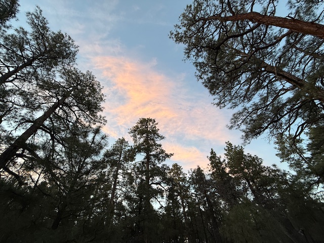
Arizona Trail Day 17, Mile 483 to 498 atop the Mogollon Rim across Clear Creek. Finished before noon for a trailhead pickup by my parents and one more night at home in Pine. Enjoying the cooler temperatures as I head towards Flagstaff through Coconino National Forest.
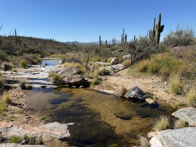
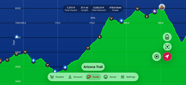
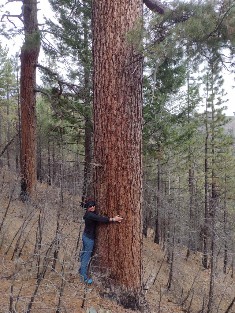
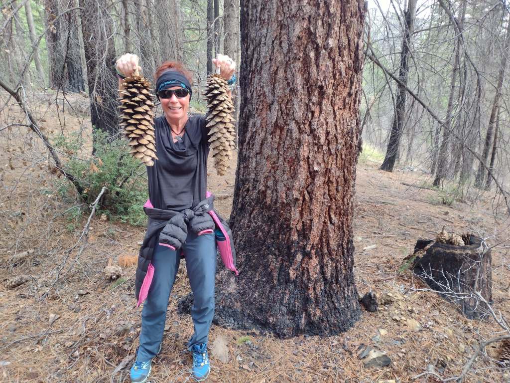
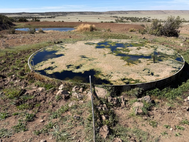
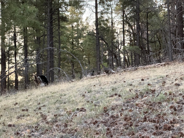
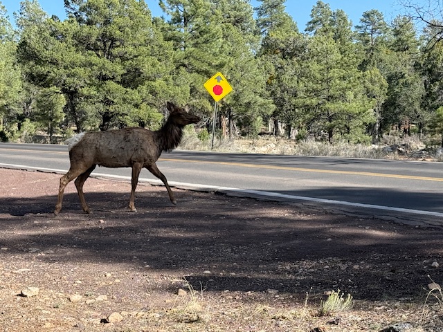
Arizona Trail Day 18, Mile 498 to 529 through forests towards Mormon Lake. Saw 3 herds of elk and the first Abert’s squirrel with its tassel ears. Water was mostly filtered from cattle tanks in various tints of yellow, but it tasted okay.
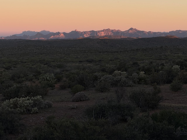
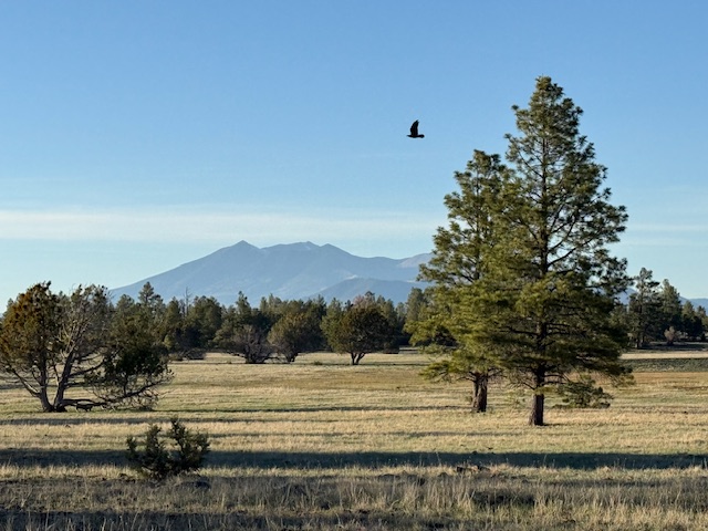
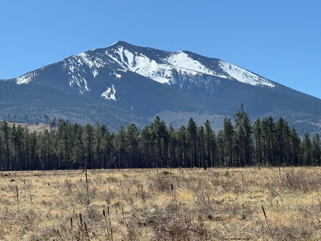
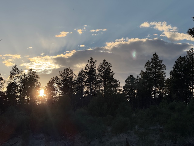
Arizona Trail Day 19, Mile 529 to 561 across Anderson Mesa where I saw two groups of mule deer. I got a resupply from my parents and my first views of the San Francisco Peaks north of Flagstaff. I feel nostalgic walking towards the town where I earned my undergrad degree from Northern Arizona University.
Arizona Trail Day 20, Mile 561 to 568 plus 16 miles on the urban route shortcut then Mile 599 to 608 through my college home of Flagstaff. Thanks to my friend Robin for helping lighten my backpack load earlier, picking me up near Snowbowl, and hosting me after a long 32-mile day.
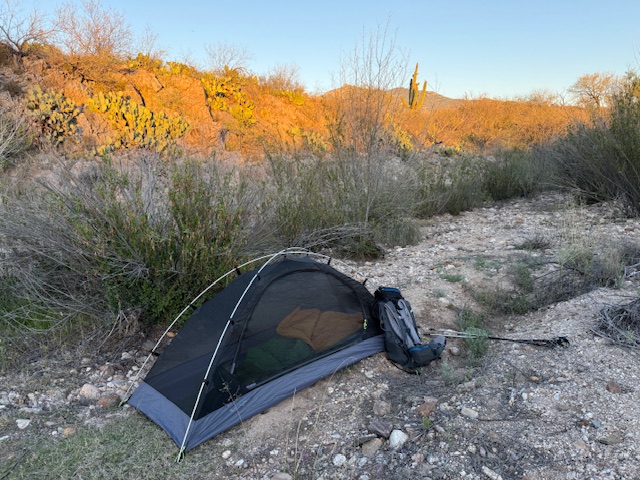
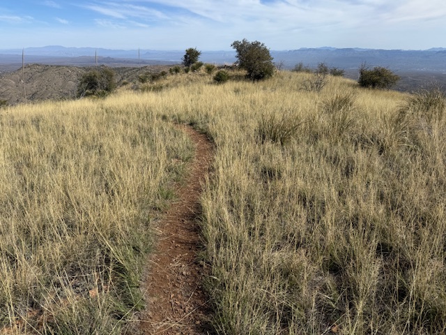
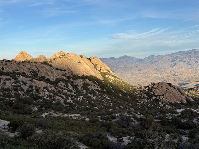
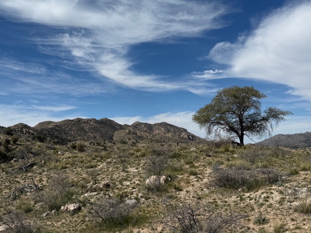
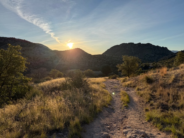
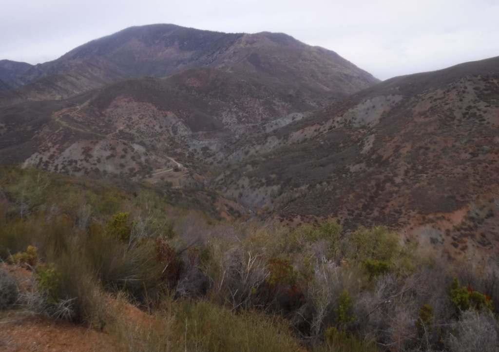
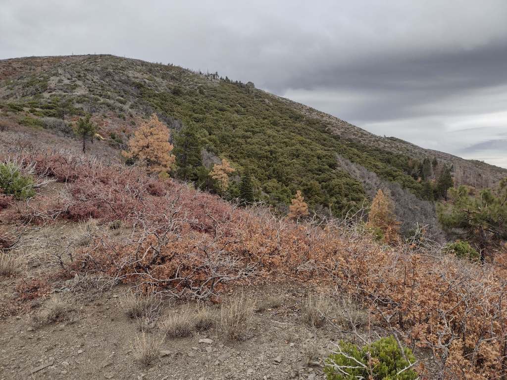
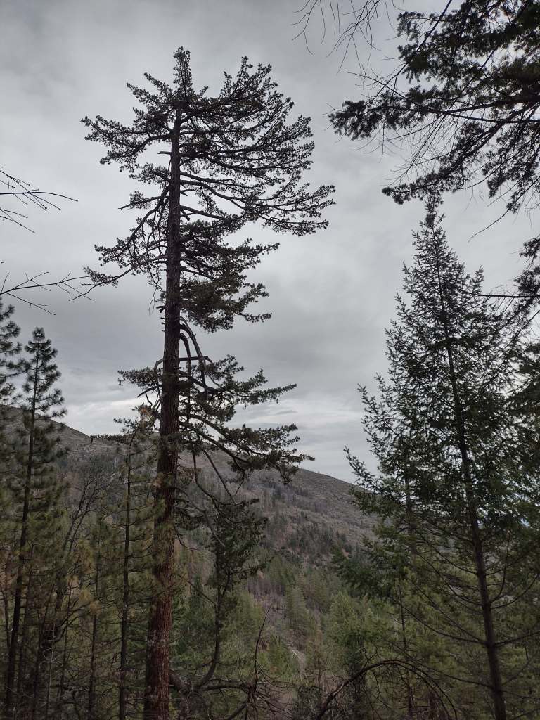
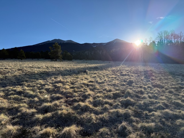
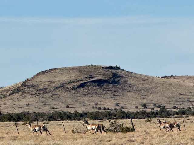
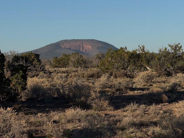
Arizona Trail Day 21, Mile 608 to 638 dropped down from Aspen Corner on Snowbowl Road onto Hart Prairie. Saw mule deer, pronghorns, and corkbark fir, one of my favorite tree species. Passed scenic Red Mountain on my way to a dry camp in the pinyon juniper woodland.
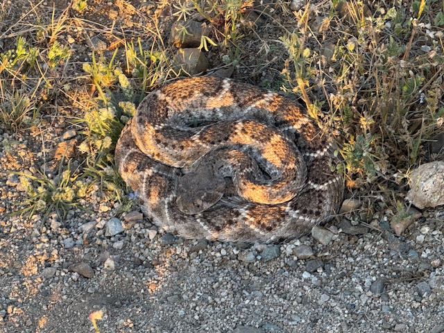
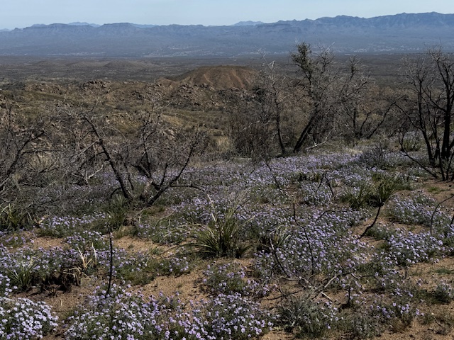
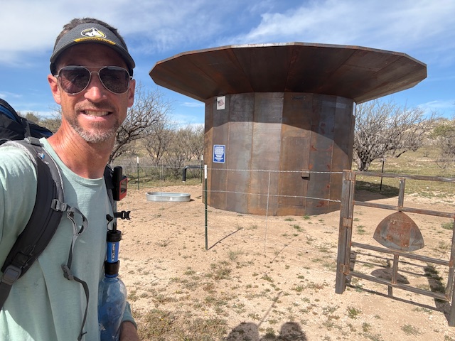
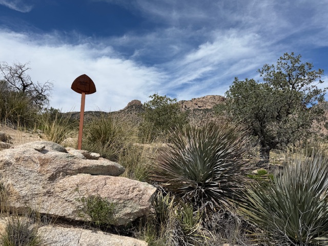
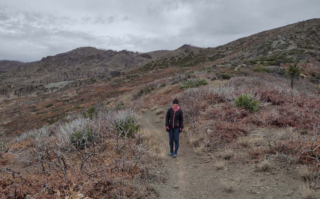
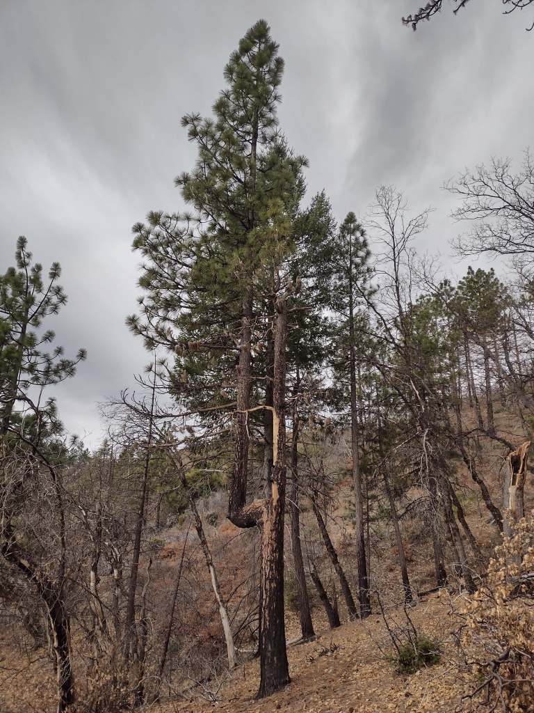
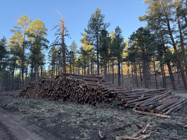
Arizona Trail Day 22, Mile 638 to 668 through Babbitt Ranch and into Kaibab National Forest and the new Ancestral Footprints of the Grand Canyon National Monument. Not many water sources out here so you take what you can get.
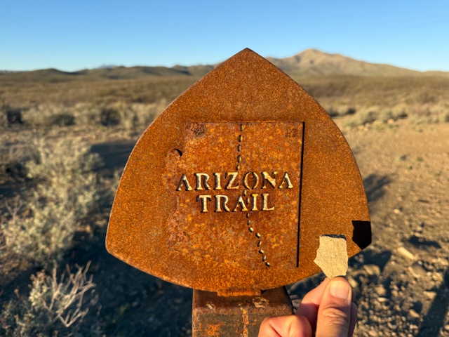
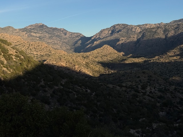
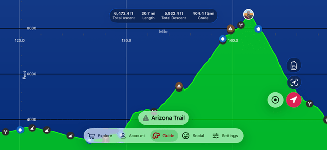
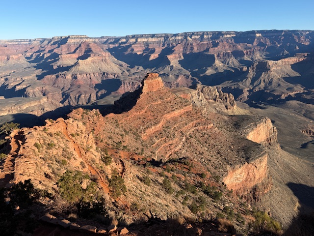
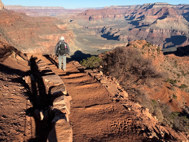
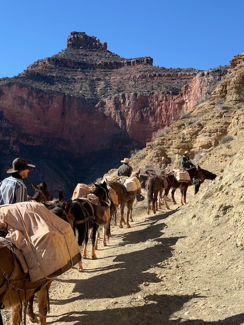
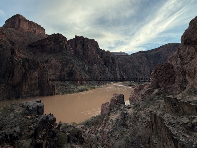
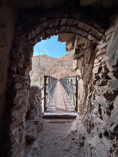
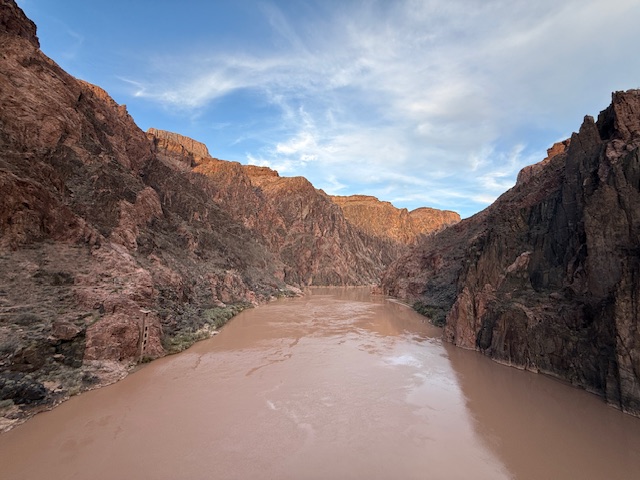
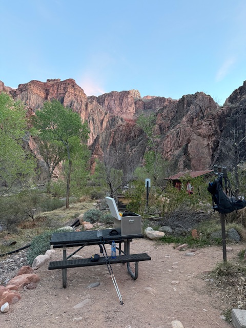
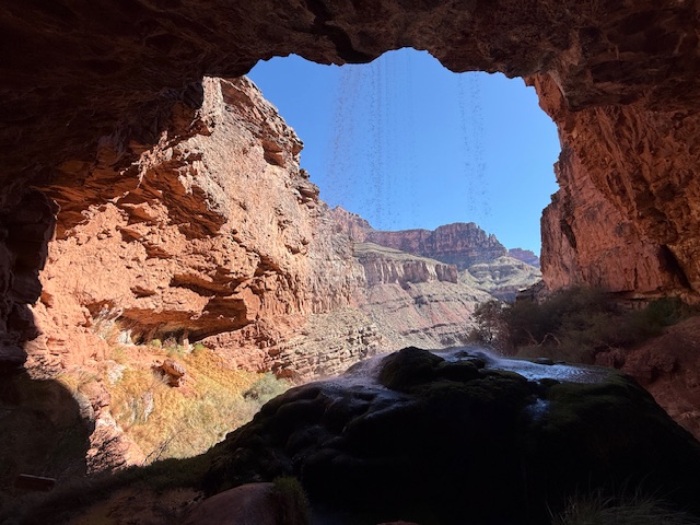
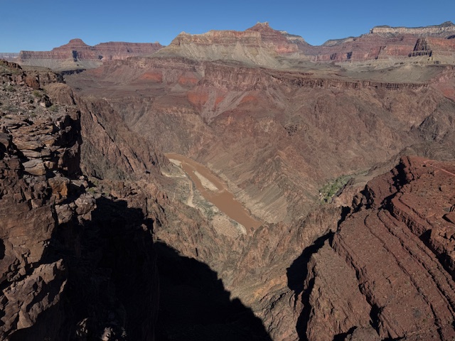
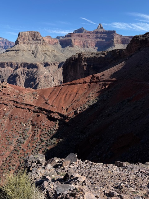
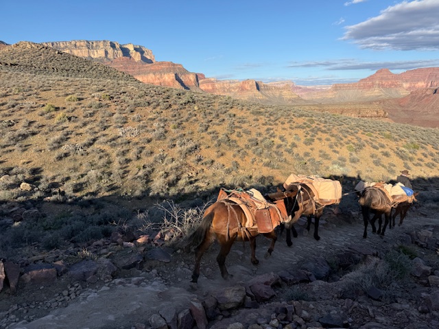
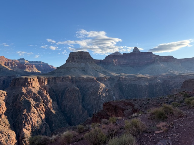
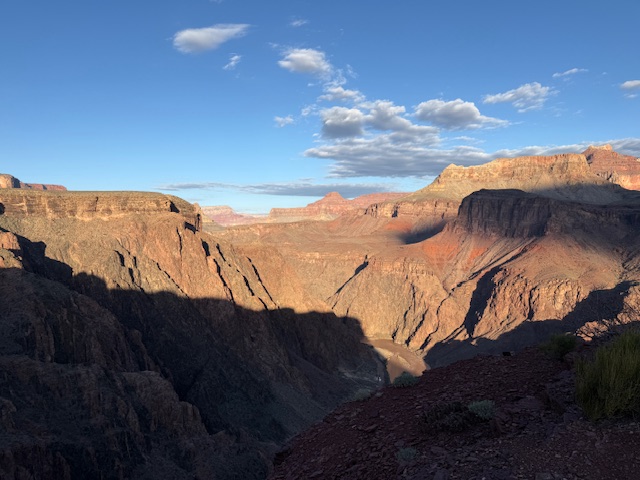
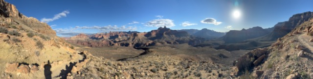
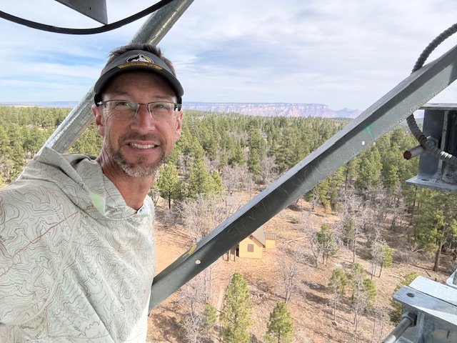
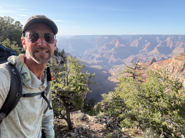
Arizona Trail Day 23, Mile 668 to 700 past Grandview Tower to Tusayan for fast food and then into Grand Canyon National Park where I started on March 4th. At some point today I surpassed 500 miles on the 800-mile AZT. I also had my first hotel stay of the journey. I’m taking a zero day before heading back to the Gila River at Mile 265.
You can keep track of where I am at on the Garmin website through this link: https://live.garmin.com/ScottSink
I will also be updating my Instagram account with photos when I have signal: https://www.instagram.com/ravenabouttheparks/


Know someone who loves exploring new National Monuments? Gift them our book Monumental America: Your Guide to All 138 National Monuments that is available for sale on Amazon.com.