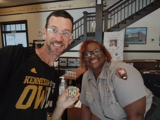
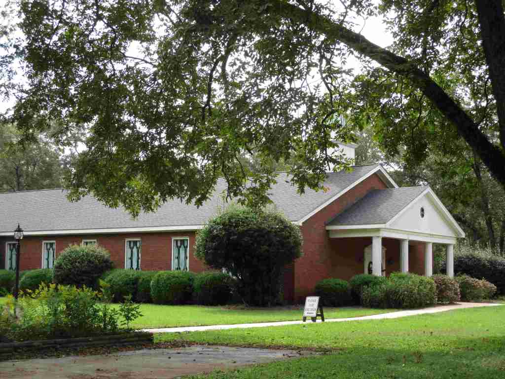
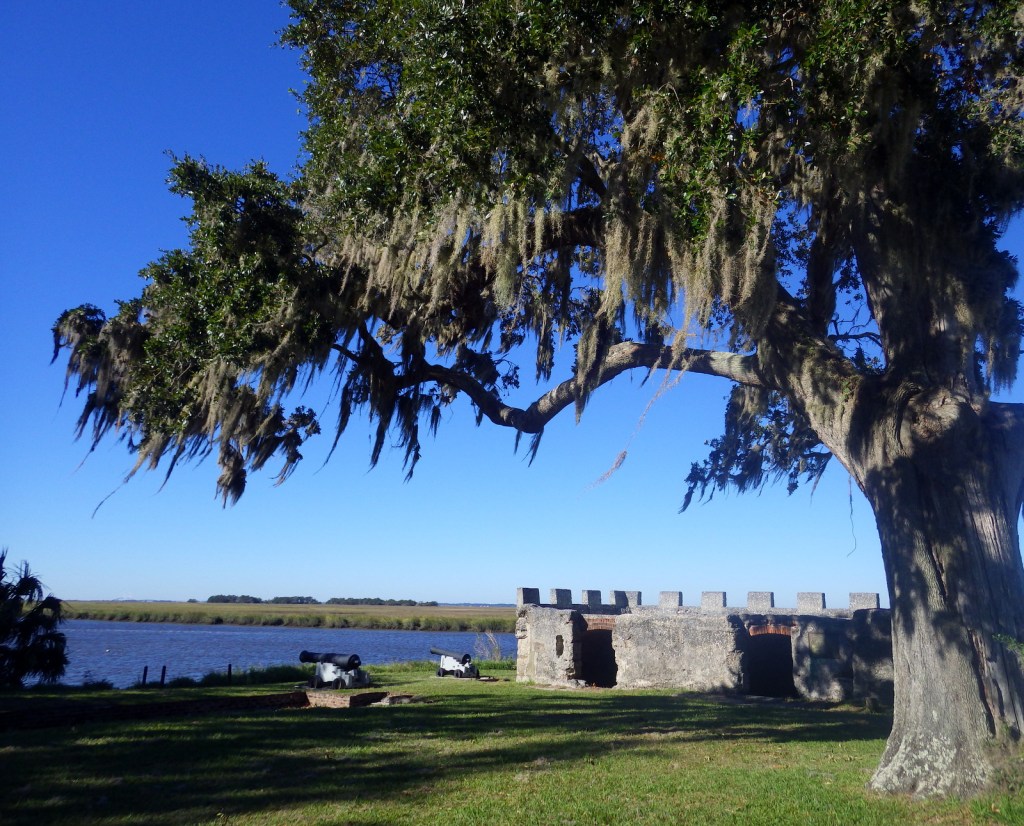
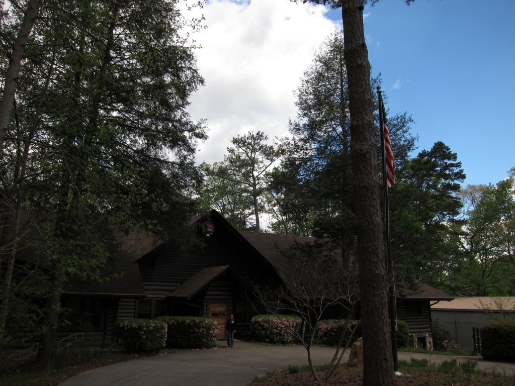
Jimmy Carter was the 39th U.S. President (1977-1981) and the first to reach the age of 100 before he passed away on December 29, 2024. Following his presidency, he and his wife (Rosalynn) returned to their hometown of Plains and cemented their legacy as diplomats and humanitarians, mostly through their work with the Carter Center in Atlanta (he was awarded a Nobel Peace Prize in 2002). Up until the end, Jimmy Carter taught Sunday school at Maranatha Baptist Church, which is open to the public. The National Historical Park encompasses Jimmy’s boyhood farm, high school, and the old Plains railroad depot. It also includes his residence since 1961, which continues to be closed but will eventually be turned into a museum by the National Park Service (NPS). In July 2025, the Carter Gardens and Burial Site of Jimmy and Rosalynn Carter opened to the public.
Highlights
Plains High School, film, train depot, boyhood farm, burial site, Carter Gardens
Must-Do Activity
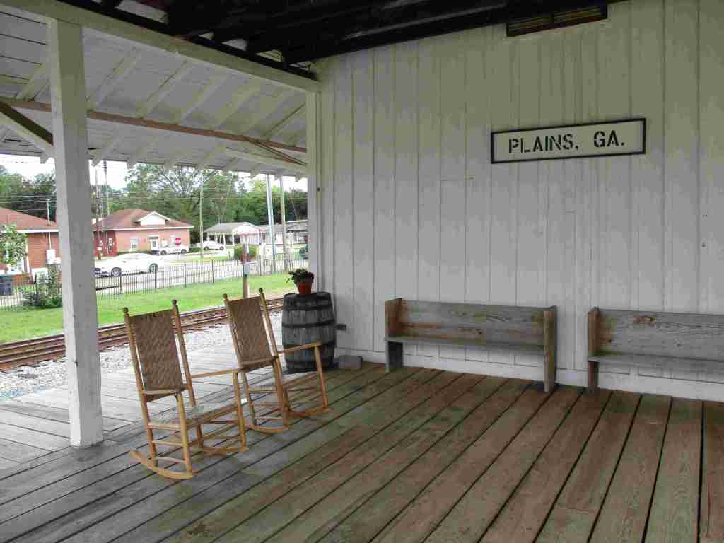
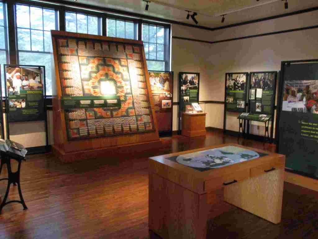
The best place to start a visit is the NPS visitor center and museum in the former Plains High School, which is full of artifacts and information on the Carters. Next, drive or walk to the main street, where the train depot that shut down in 1951 was turned into Jimmy’s presidential campaign headquarters. While downtown, check out the shops for souvenirs and try some boiled peanuts or soft-serve peanut-flavored ice cream. There are several other sites of interest around Plains, including the boyhood home, burial site, Carter Gardens, Maranatha Baptist Church, and peanut statue (see Photographic Opportunity).
Best Trail
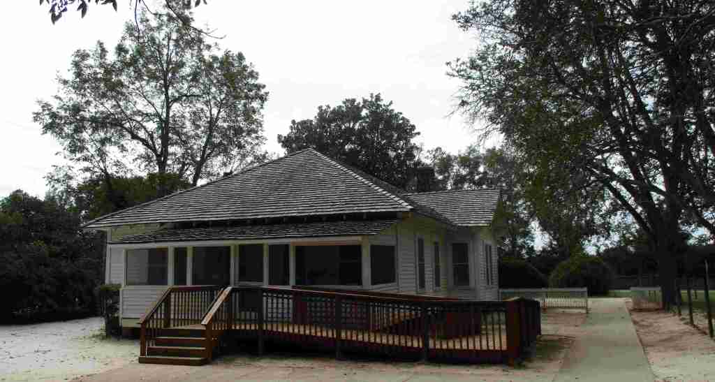
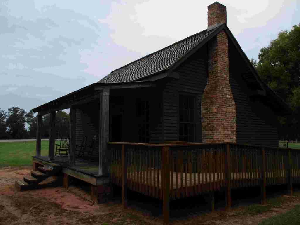
A half-mile trail winds through the boyhood farm where Jimmy lived starting at age four. Farm animals and seasonal crops are raised here, including peanuts. You can take a self-guided tour through his boyhood home, which was restored to its appearance before electricity was installed in 1938.
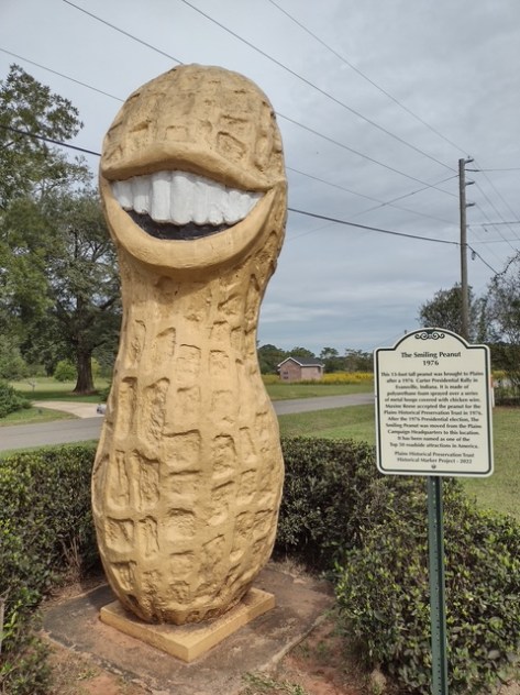
Photographic Opportunity
While not part of the official National Historical Park, when you drive up Buena Vista Road to see Maranatha Baptist Church, you pass the 13-foot-tall Jimmy Carter peanut statue built during the 1976 presidential election to support the former peanut farmer.
Paved parking is available at the high school, train depot, and boyhood farm (located about three miles west of town).
Camping
About 30 miles away in each direction are campgrounds at Georgia Veterans State Park and Providence Canyon State Park (which is featured on a U-Haul super graphic).
Jimmy’s boyhood homeJimmy’s boyhood bedroomDowntown PlainsInside Plains High SchoolA 100th birthday card for JimmyScott earned a special 100th birthday Junior Ranger badgeMarantha Baptist ChurchVulturin’ about the park
Explore More – According to an urban legend, why was a hole cut in the back of the Jimmy Carter peanut statue by the U.S. Secret Service?
Best time of year: Spring for mild temperatures and flowering dogwood blooms
We recently published our guidebook 50 States of Great: Road Trip Guide to America, so we decided to start a new type of blog post where we create a travel itinerary for all 50 states, in addition to our usual National Forest and National Park entries. After starting with Kansas, we decided to do an east coast state. We made an ambitious seven-day plan starting in the northwest corner of Georgia, with many options to extend the trip.
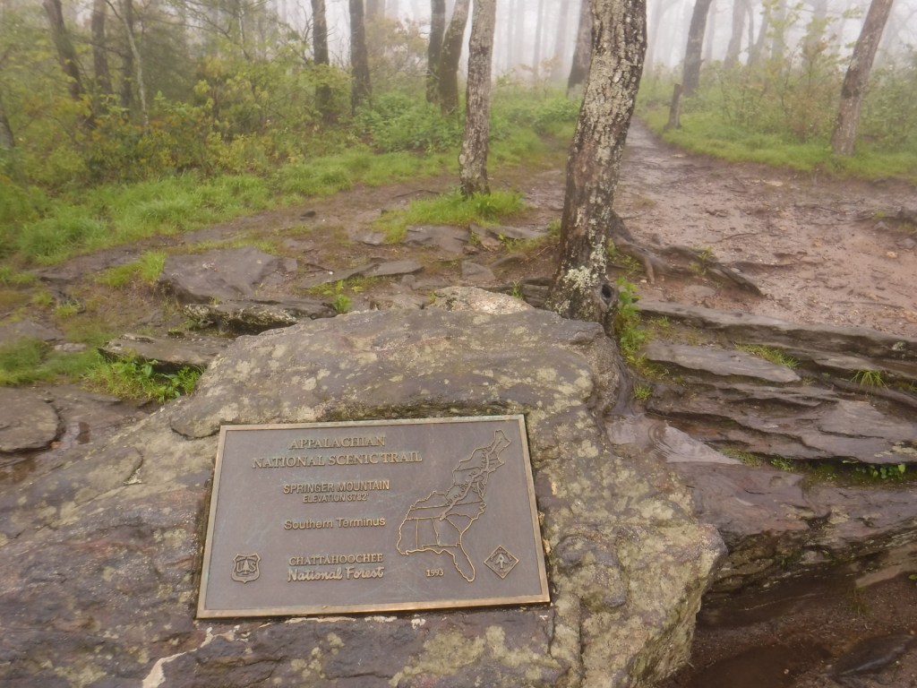
Formerly named after Springer Mountain, the southern terminus of the Appalachian National Scenic Trail (click here for our blog post) is marked with a bronze plaque and trail register. Most backpackers start from potholed Forest Service Road 42 and ascend 0.9 miles south to the summit then spend the night in the open-front trail shelter or turn around to head back north. For day hikers, a nice option is to add the eastern part of the Benton MacKaye Trail to make a 4.7-mile loop that passes Owen Vista.
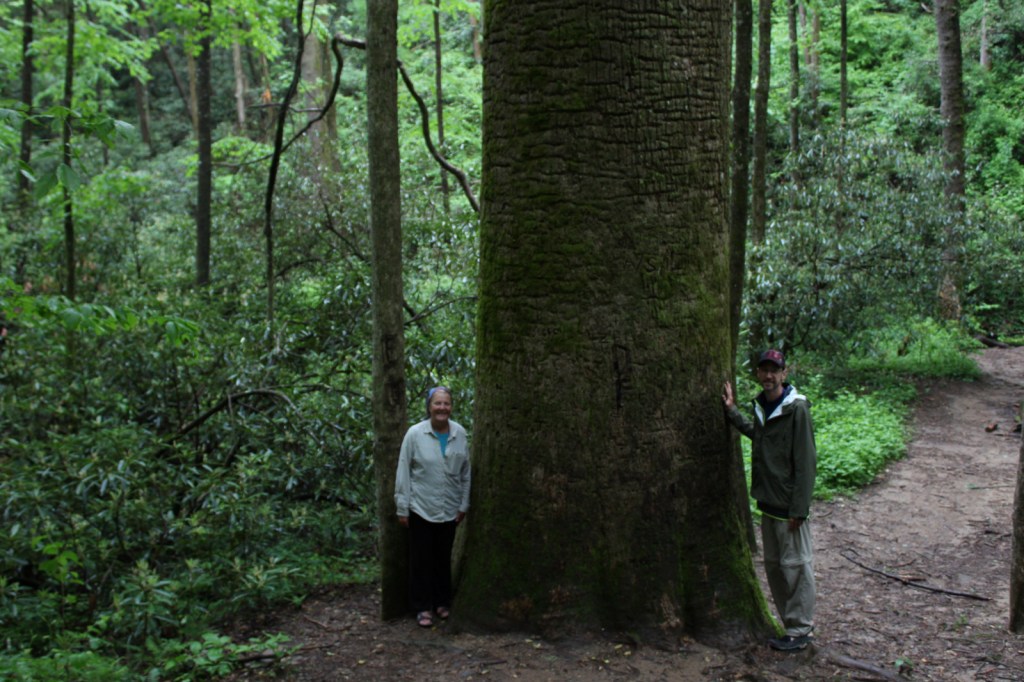
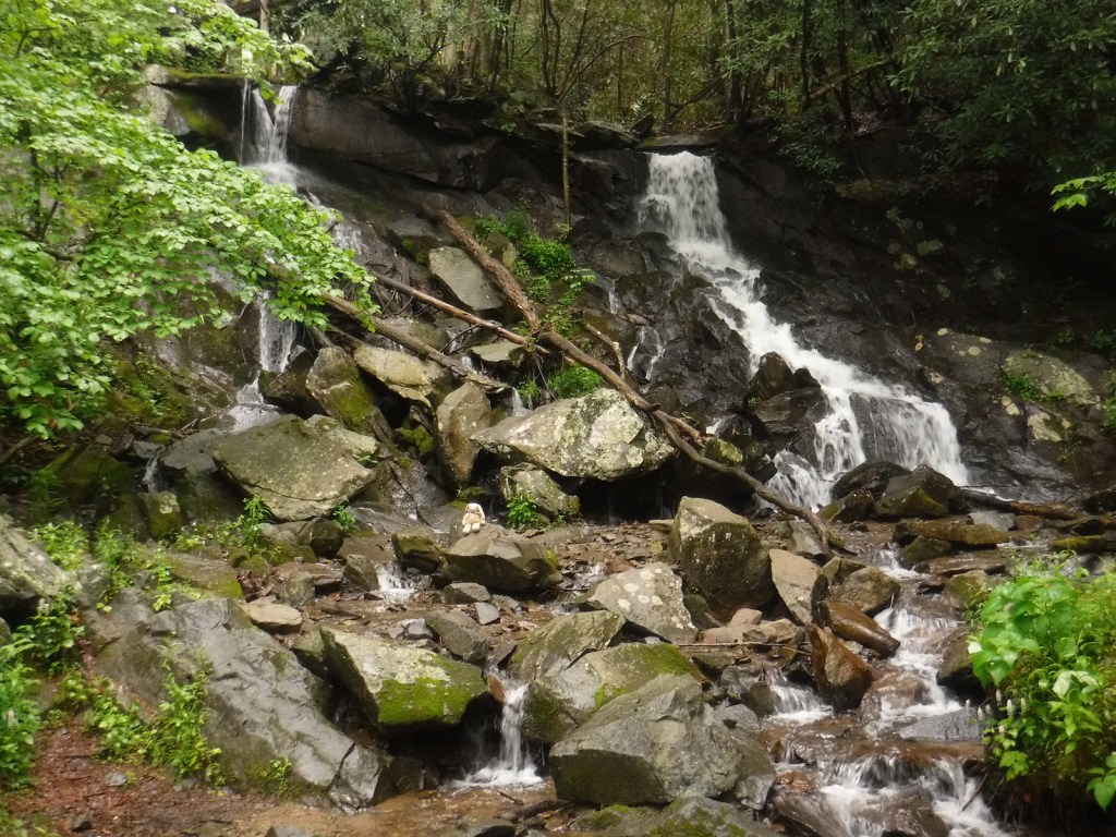
The Gennett Poplar (a tulip-poplar tree more than five feet in diameter) is accessed by hiking 1.8 miles out-and-back with two stream crossings on the Bear Creek Tail. Other large tulip-poplars and yellow buckeyes are found in 175-acre Sosebee Cove Scenic Area. You can spend the night riverside at the free Hickey Gap Campground, one of our Top 10 National Forest Campgrounds.
Half of this park is situated in Tennessee around Lookout Mountain, but at Georgia’s Chickamauga battlefield a seven-mile long driving tour explains what happened there on September 20, 1863.
Optional stops at Brasstown Bald, Tallulah Gorge State Park, Amicolola Falls State Park, and Cloudland Canyon State Park
Start your itinerary a day early in Georgia’s northeast corner by enjoying some State Parks and the state’s high point Brasstown Bald, managed by Chattahoochee National Forest.
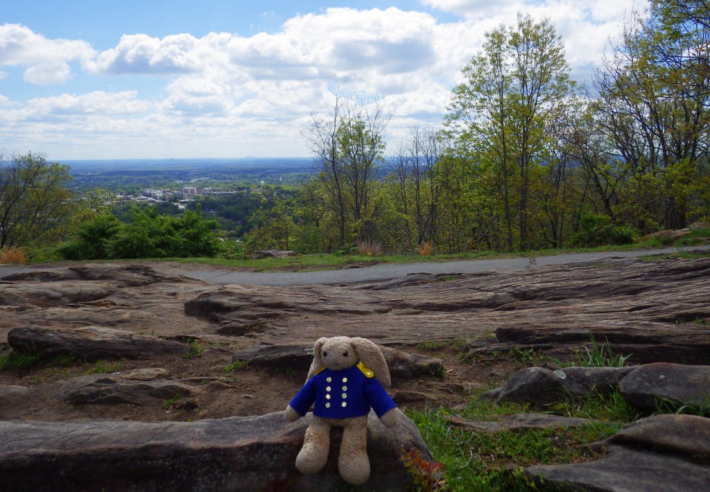
Wait out the morning traffic into Atlanta by driving or hiking to the top of this steep hill in the city’s suburbs.
Georgia Aquarium
Holding more than 10-million gallons of water in its numerous tanks, Georgia Aquarium is the best in the nation (even better than California’s Monterey Bay Aquarium). It contains more than 500 aquatic species, but the most impressive are the 30-foot-long whale sharks that reside in the 6.3-million-gallon Ocean Voyager Gallery, the world’s largest indoor marine exhibit.
A short walk from the visitor center is required to enter King’s boyhood home (which is wheelchair accessible). Silence is mandatory while inside. Outside the neighboring King Center, the Reflection Pool contains the tombs of Martin Luther King, Jr. and his wife Coretta Scott King, as well as an eternal flame.
Established in 1978, this park is a combination of government jurisdictions and private land that protects 48 miles of the Chattahoochee River downstream from Lake Sidney Lanier northeast of Atlanta. Due to its lack of large rapids it is popular with canoers.
This notorious Civil War prison remains an active military cemetery and is also home to the National Prisoner of War Museum run by the National Park Service. This may not be the best place to bring children, given that the exhibits in the museum do not pull punches in their depictions of the brutality endured by captured combatants throughout the ages.
One of the best examples of temple mounds from the Mississippian Culture that began around 1,100 years ago. Starting from the National Park Service museum (which contains artifacts dating back to 8000 B.C.E.), walk under the railroad tracks, go inside the replica earth lodge, and up the stairs to access the top of the 55-foot-tall Great Temple Mound.
Day 4
Savannah
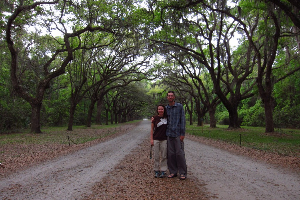
Savannah is a great city for walking that offers countless public squares, beautifully landscaped Forsyth Park with its iconic fountain, spooky Bonaventure Cemetery (see photo), legendary River Street shopping district, and architectural gems like the birthplace of Juliette Gordon Low (who founded the Girl Scouts of America in 1912). Do not miss a photo at the tree-lined entrance to Wormsloe State Historic Site, a plantation located on the edge of an expansive marsh.
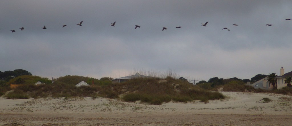
Optional stop at Tybee Island
After touring the city, drive on to the Atlantic Ocean for some beach time. Once you have soaked up some saltwater, sand, and sun, check out the Tybee Island Light Station and Museum, built at this site in 1773, then reconstructed after the Civil War. Also, check out the nearby World War II-era Battery Garland in the decommissioned Fort Screven.
Located 17 miles from Savannah on Cockspur Island, photogenic Fort Pulaski National Monument protects a brick fort named for a Polish Count who was killed in action during the American Revolution. Claimed by the Confederacy early during the Civil War, it was surrendered to the Union Army in April 1862 after thirty hours of shelling from nearby Tybee Island.
The British established Fort Frederica in the 1730s to stop Spanish encroachment from Florida into their American colonies. The town that formed around the fort peaked at a population of 1,000. Today it is a beautiful setting with tabby wall ruins and Spanish moss-draped trees.
Only accessible by boat, most visitors arrive by ferry from St. Marys (reservations recommended) and spend a full day here. Bicycles can be rented once you arrive on the island (they are not allowed on the ferry) and are permitted on the many miles of roads, but not on the trails or beach. While it is fun to spend time beachcombing or seeing the ruins of the Dungeness mansion, what really sets Cumberland Island apart are the 50 miles of hiking trails that cut through the maritime forest of twisty live oak trees. Watch for feral horses, white-tailed deer, armadillos, turkeys, and other birds along the way.
The largest freshwater wetlands in the country are home to about 12,000 alligators. The baldcypress swamp spreads across 448,000 acres around the Suwannee River. There are no roads across Okefenokee National Wildlife Refuge and it is most easily accessible from the west through Stephen C. Foster State Park, which has a campground and kayak rentals to access camping platforms in the swamp.
Clearing the forests for farmland in the mid-1800s is what allowed these 16 gullies to erode the soft red-clay hills into the colorful spectacle they are today (with many shades of orange, pink, lavender, and yellow). The 1,003-acre State Park was established in 1971 to protect the area and it is featured as a U-Haul Super Graphic. The best views are from the rim walk, but to truly appreciate the depth (up to 150 feet deep) and palette of colors you need to hike down into some of the nine canyons with trails.
The former Governor, Nobel Peace Prize-winner, and U.S. President Jimmy Carter is the most well-known peanut farmer in Plains, and was a regular at the Plains Peanut Festival held every September. The National Park Service manages the Jimmy Carter National Historical Park with two visitor centers, one at the former Plains High School and the other at the family’s 360-acre farm.
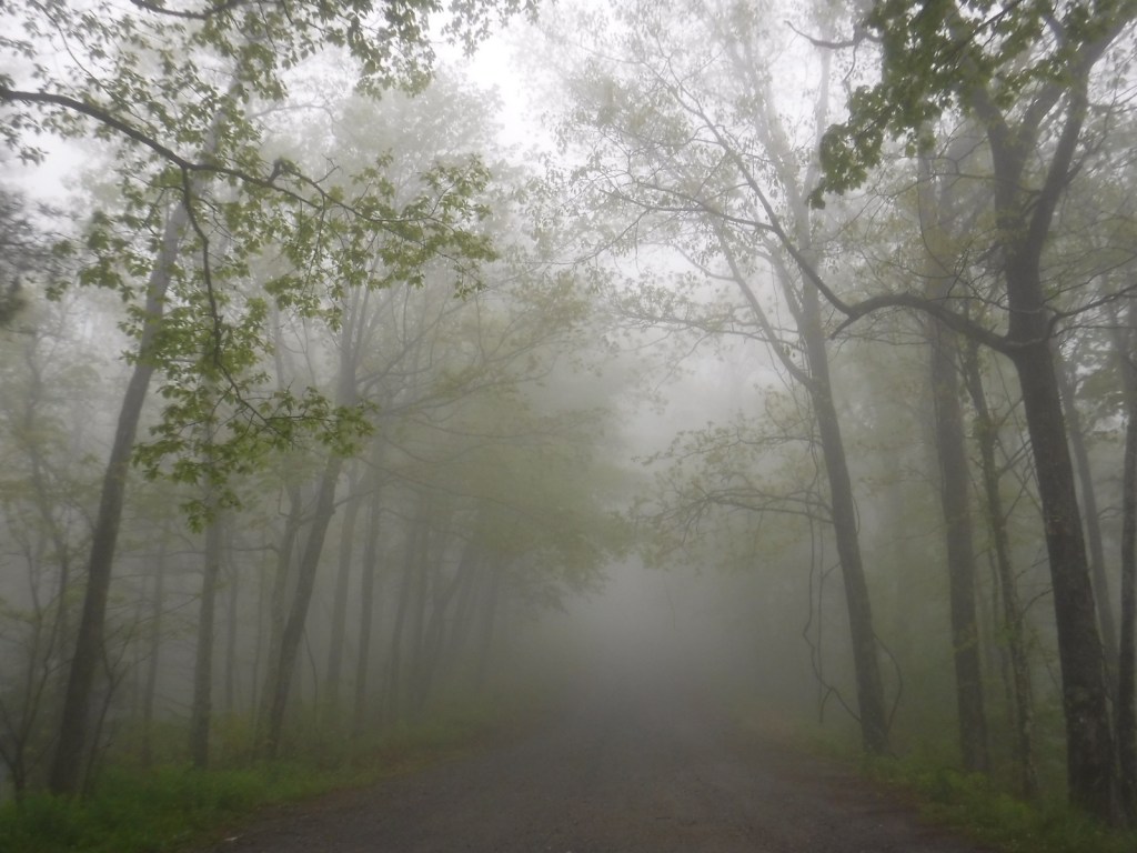
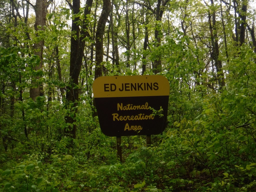
Your first question is probably, “Who is Ed Jenkins?” Edgar Lanier Jenkins (1933-2012) was a politician who served as one of Georgia’s U.S. Congressional representatives from 1977 to 1993. This spot was initially proposed as Springer Mountain National Recreation Area, but was renamed when established in 1991. If Springer Mountain sounds familiar, that is because it is the southern terminus of the Appalachian National Scenic Trail that runs 2,185 miles to Katahdin in Maine through numerous National Forests (as well as Great Smoky Mountains and Shenandoah National Parks). A memorable part of Bill Bryson’s book A Walk in the Woods takes place in Ed Jenkins National Recreation Area.
The southern terminus of the Appalachian National Scenic Trail was at Mt. Oglethorpe until 1958, when it was moved 14 miles northeast due to increased development. Thru-hikers can access the bronze plaque and trail register at the top of Springer Mountain by hiking 8.5 miles from Amicolola Falls State Park. An easier option is to start from potholed Forest Service Road 42 and ascend 0.9 miles south to the summit. Some thru-hikers choose to spend the night in the open-front trail shelter near the top, but many simply turn around to head back north.
Best Trail
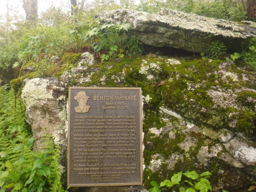
Similar to summiting Katahdin at the northern terminus of the Appalachian National Scenic Trail, thru-hikers have to hike to the end of the trail, and then turn around. For day hikers, a nice option is to add the eastern part of the Benton MacKaye Trail to make a 4.7-mile loop that passes Owen Vista.
Instagram-worthy Photo
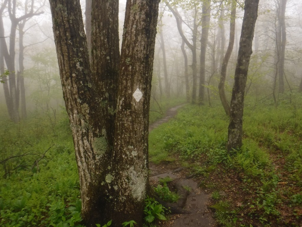
It was quite foggy when we visited, so we did not get any great vistas, but you have to photograph the bronze plaque marking the southern terminus of the famed Appalachian National Scenic Trail.
Peak Season
Spring
Fees
None
Road Conditions
Forest Service Road 42 that accesses the trailhead is dirt and full of potholes, but it is doable in a passenger vehicle.
Camping
Some thru-hikers choose to spend the night in the open-front trail shelter near the summit of Springer Mountain. If you have a car, we recommend you drive west in Chattahoochee National Forest to the free Hickey Gap Campground (which made our Top 10 Campgrounds in National Forests list).
The road to Springer Mountain TrailheadFollow the white blazes to stay on the Appalachian Trail to MaineTrail register at the southern terminusWondon at the summit in a gnarled maple treePlaque on the Benton MacKaye TrailPink lady’s slipper
In mountainous northern Georgia, Chattahoochee National Forest stretches 200 miles east to west, bordering North Carolina, South Carolina, and Tennessee. In addition to the highest point in Georgia (4,784-foot Brasstown Bald), the National Forest includes the headwaters of the Chattahoochee River and one side of the Chattooga National Wild and Scenic River. West of the North Georgia Mountains, the Ridge and Valley Scenic Byway traverses the disjunct portion of the National Forest encompassing Johns Mountain, Little Sand Mountain, and Taylor Ridge.
Highlights
Ed Jenkins National Recreation Area, Ridge and Valley Scenic Byway, Keown Falls, Russell-Brasstown Scenic Byway, Brasstown Bald, High Shoal Falls Scenic Area, Lake Conasauga Recreation Area, Anna Ruby Falls, Sosebee Cove Scenic Area, Timpson Falls, Popcorn Overlook, Track Rock Gap Petroglyph Site, DeSoto Falls Scenic Area, Angel Falls, Raven Cliff Trail, Helton Creek Falls Trail, Duncan Ridge National Recreation Trail, Appalachian National Scenic Trail
Must-Do Activity
One of the National Forest’s most popular spots, 150-foot-tall Anna Ruby Falls is accessed by a short trail northeast of Helen, Georgia on State Route 356. Large tulip-poplar and yellow buckeye trees grow in 175-acre Sosebee Cove Scenic Area, even though it is a second growth forest. We will have a separate blog post on Ed Jenkins National Recreation Area, which surrounds Springer Mountain, the southern terminus of the 2,185-mile long Appalachian National Scenic Trail.
Best Trail
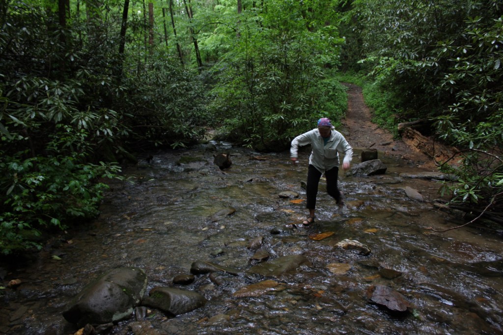
Chattahoochee National Forest started when the Forest Service purchased 31,000 acres from the Gennett family in 1911 for $7 per acre. Visitors can still see their namesake Gennett Poplar (a tulip-poplar tree more than five feet in diameter) by hiking 1.8 miles out-and-back with two stream crossings on the Bear Creek Trail. The rows of holes in the old tree’s trunk were made by yellow-bellied sapsuckers, a type of woodpecker. The trail continues and connects with the Pinhoti Trail to form a 6.6 to 9-mile long loop.
Watchable Wildlife
In addition to the plentiful white-tailed deer, other large mammals found in Chattahoochee National Forest include black bears, coyotes, bobcats, red foxes, squirrels, beavers, and river otters. There are a wide variety of songbirds, waterfowl, and raptors, as well as wild turkeys. One insect species of note is the blue ghost firefly, which produces a distinctive blue phosphorescence. Panther Creek is among the approximately 2,000 miles of rivers and streams popular for fishing.
Instagram-worthy Photo
There is a small waterfall at Barnes Creek Picnic Area, which was built by the Civilian Conservation Corps (CCC) in the 1930s.
Peak Season
Summer
Fees
None
Road Conditions
Most of the major routes in Chattahoochee National Forest are paved. Forest Service Road 42 that accesses the Springer Mountain Trailhead is unpaved and full of potholes, but it is doable in a passenger vehicle (as are the dirt roads to Hickey Gap Campground and Bear Creek Trail).
Camping
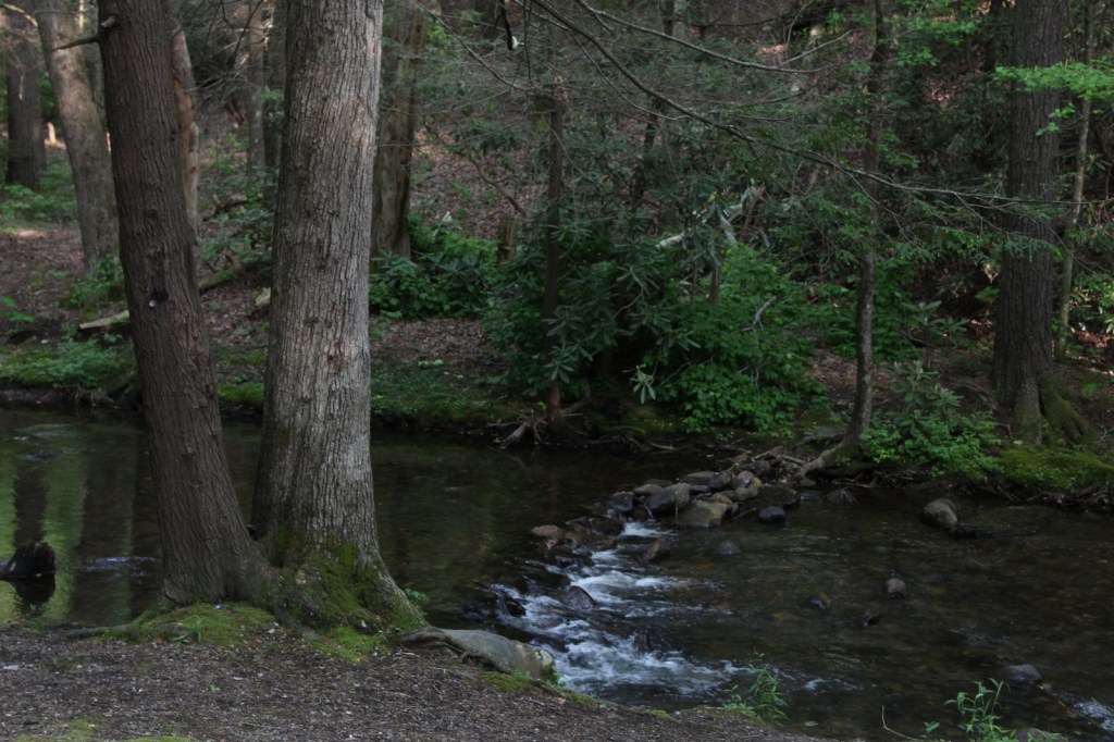
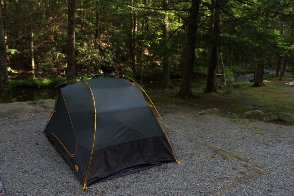
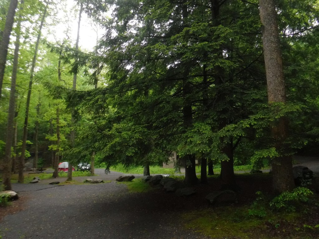
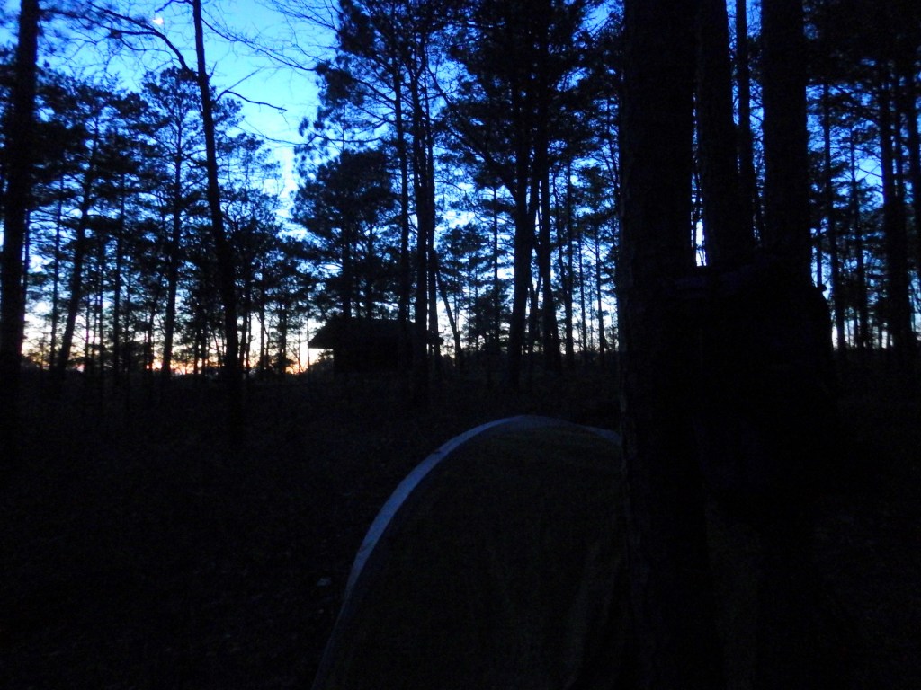
The riverside Hickey Gap Campground is so nice that it made it into our list of the Top 10 Campgrounds in National Forests; the best part is: it is free. We once overnighted at the Locust Stake ORV Area Trailhead north of Atlanta, which was fine until someone decided to ride their motocross bike at 2 a.m.
Wilderness Areas
Big Frog Wilderness (also in Cherokee NF)
Blood Mountain Wilderness
Brasstown Wilderness
Cohutta Wilderness (also in Cherokee National Forest)
Ellicott Rock Wilderness (also in Nantahala and Sumter National Forests)
Mark Trail Wilderness
Raven Cliffs Wilderness
Rich Mountain Wilderness
Southern Nantahala Wilderness (also in Nantahala National Forest)
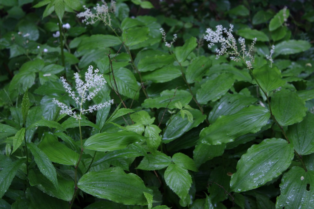
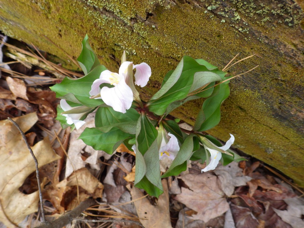
Hickey Gap Campground is on Mill Creek trout streamHickey Gap CampgroundHickey Gap CampgroundScott’s mother crossing a stream on the trail to the Gennett PoplarSolomon’s plume Scott and his mother standing with the Gennett PoplarTrillium flowersWe do not recommend camping at Locust Stake ORV Area TrailheadThe road to Springer Mountain TrailheadEnd of the Appalachian Trail on Springer Mountain
Learn more about Chattahoochee and the 154 other National Forests in our new guidebook Out in the Woods
We are a participant in the Amazon Services LLC Associates Program, an affiliate advertising program designed to provide a means for us to earn fees by linking to Amazon.com and affiliated sites.
Similar to the other National Park Service (NPS) sites in the Atlanta, Georgia metropolitan area (see Related Sites below), visiting Chattahoochee River National Recreation Area requires navigating many suburban streets. Established in 1978, this park is a combination of government jurisdictions and private land that protects 48 miles of the Chattahoochee River downstream from Lake Sidney Lanier northeast of the city. Due to its lack of large rapids it is popular with canoers, although a release from Buford Dam can lead to a quick rise in river levels and the water is typically a chilly 44° to 58°F.
Highlights
Hewlett Lodge, Vickery Creek, Cochran Shoals, Sope Creek mountain bike trail
Must-Do Activity
A good place to start your visit is the NPS headquarters at Island Ford, which is housed in Hewlett Lodge, a beautiful Adirondack-style mansion built in the 1930s. There you can get information about hiking, canoeing, and fishing within the National Recreation Area. You can also walk down to the river’s edge to watch boaters and wildlife from shore. Not far away in Roswell, Georgia, a short creekside trail leads to the ruins of a textile mill and a dam.
Best Trail
Most sections of the park have some type of hiking trail and there is a wetlands boardwalk within the Cochran Shoals unit.
Instagram-worthy Photo
The covered walking bridge is quite photogenic at the old mill in Roswell, Georgia.
Peak Season
Summer (although we have heard from an Alan Jackson song that it can get “hotter than a hootchie cootchie”)
Parking fee of $5 per day or America the Beautiful pass
Road Conditions
All roads paved
Camping
No camping is allowed along the river. The U.S. Corps of Engineers manages campgrounds on Lake Sidney Lanier at the northeastern end of Chattahoochee River National Recreation Area.