Overview
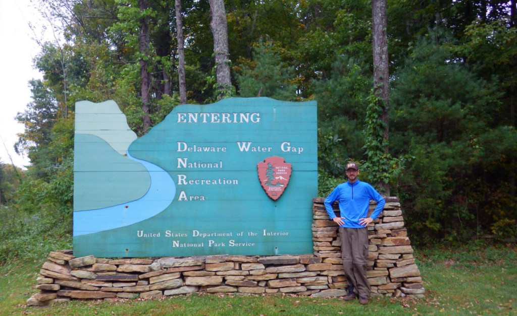
On the Pennsylvania-New Jersey border, the Delaware River flows through a gap in the long ridge of the Appalachian Mountains. This marks the southern end of Delaware Water Gap National Recreation Area and the site of the Kittatinny Point Visitor Center (right off Interstate 80) managed by the National Park Service (NPS). When preservationists fought to protect this area from being dammed in the 1960s it led to the creation of the National Recreation Area surrounding a 40-mile stretch of river designated as the Middle Delaware National Scenic River.
Highlights
Raymondskill Falls, Millbrook Village, Dingmans Falls, floating Middle Delaware National Scenic River
Must-Do Activity
Most of the NPS visitor centers are open seasonally in this resort area on the Pocono Plateau. We visited in the offseason in late September and enjoyed hiking to Raymondskill, Silver Thread, and Dingmans Falls on the Pennsylvania side. On the New Jersey side the main attraction is Millbrook Village, a recreated 1800s town that is open year round. Fishing, swimming, and floating the Middle Delaware National Scenic River are popular in the summer.
Best Trail
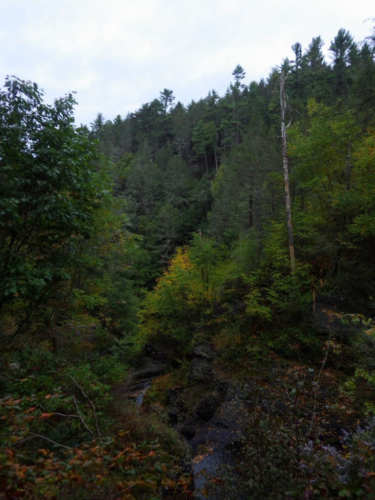
There are more than 100 miles of trails within the park, including 27 miles of the famous Appalachian National Scenic Trail that leads to the top of Mt. Minsi for great views of the actual Delaware Water Gap.
Instagram-worthy Photo
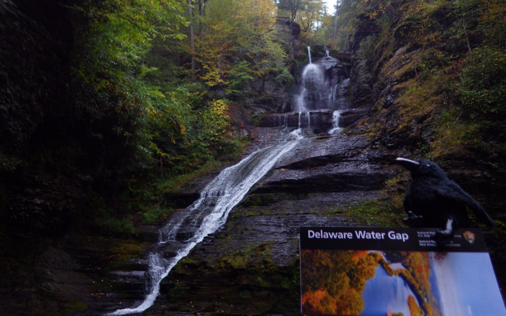
A boardwalk trail passes 80-foot tall Silver Thread Falls on the way to 130-foot tall Dingmans Falls.

Peak Season
Summer
Hours
https://www.nps.gov/dewa/planyourvisit/hours.htm
Fees
None for entry, but some sites have a user fee (Smithfield Beach, Milford Beach, etc.) and there are toll bridges across the river in places.
Road Conditions
There are several unpaved roads and toll bridges within the boundaries of Delaware Water Gap National Recreation Area.
Camping
Promised Land State Park in Pennsylvania
Campground options available in New Jersey include Worthington State Forest, High Point State Park, and Stokes State Forest. Dingmans Campground on the Pennsylvania side offers discounts for the NPS Senior Pass. Primitive camping is allowed for thru-hikers on the Appalachian National Scenic Trail and along the riverside for boaters. Keep a clean campsite, as black bears are common.
Related Sites
Upper Delaware Scenic and Recreational River (New York-Pennsylvania)
Allegheny Portage Railroad National Historic Site (Pennsylvania)
Hopewell Furnace National Historic Site (Pennsylvania)

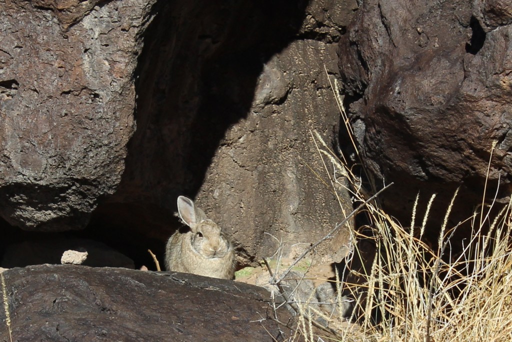
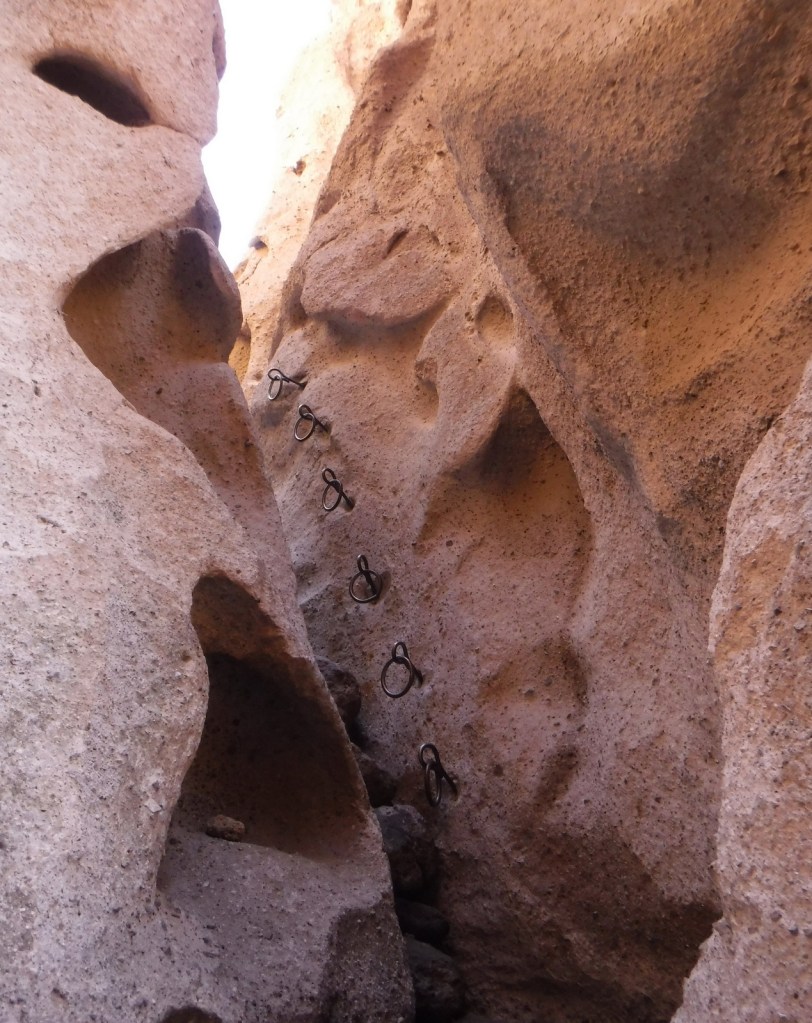
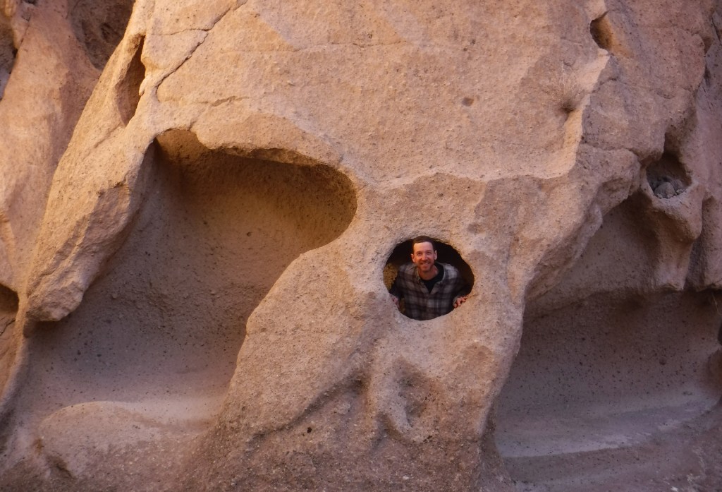
Tiff inside a little cave 
Raymondskill Falls 

Scott at Dingmans Falls 

Dingmans Falls 
Silver Thread Falls 
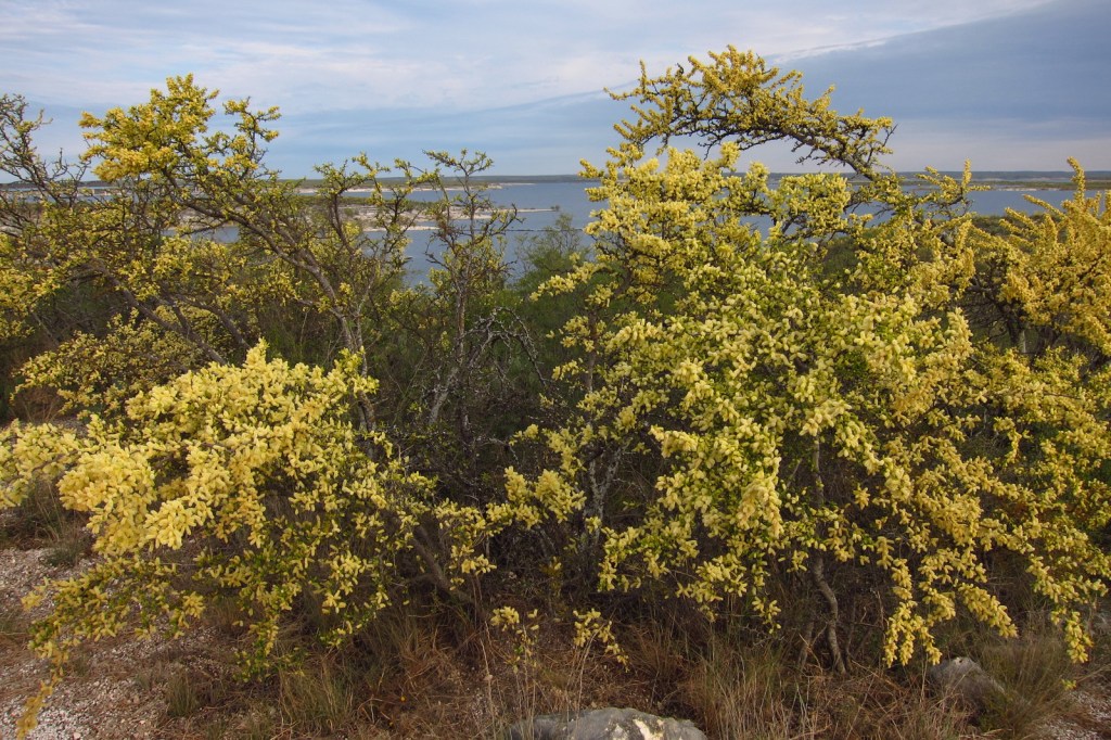
Middle Delaware National Scenic River 
Scott and Tiff at Raymondskill Falls
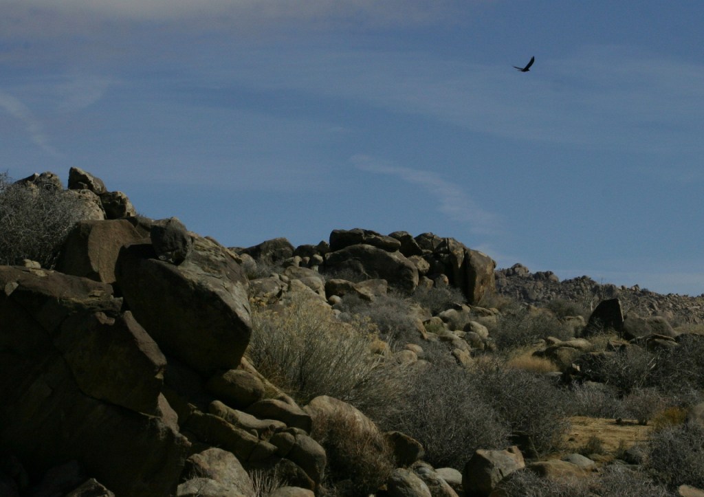
Explore More – The Delaware River is one of the cleanest rivers in the eastern U.S. and attracts large numbers of which nationally symbolic raptor every winter?