Huron National Forest
Michigan
Managed by U.S. Forest Service, Eastern Region
694,056 acres (438,584 federal/ 255,472 other)
Website: https://www.fs.usda.gov/hmnf
Overview
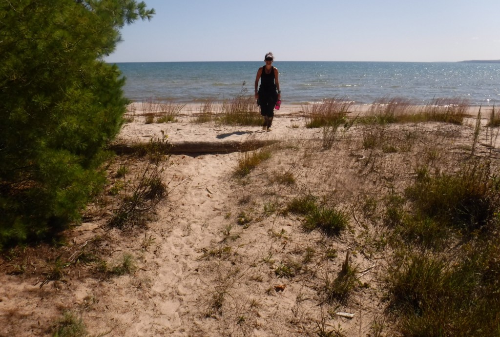
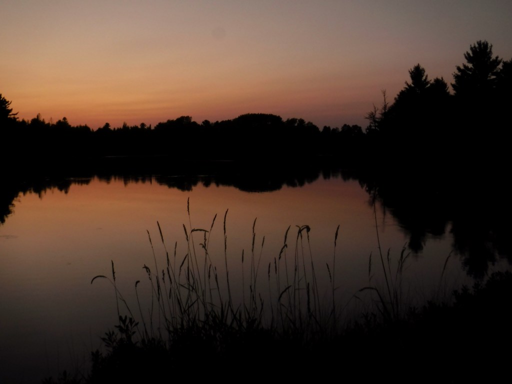
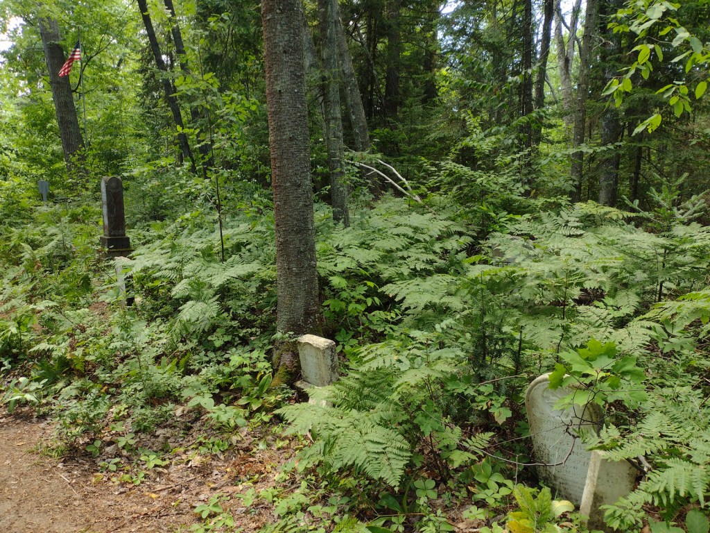
Huron National Forest occupies a strip of land in eastern Michigan that follows the Au Sable National Wild and Scenic River to near its confluence with Lake Huron. The National Forest was established in 1909 after logging in the area went into decline. In 1945, it was administratively combined with the Manistee National Forest, which is on the western side of the state. Two years later, the first Au Sable River Canoe Marathon was held when 46 teams entered, but only 15 teams finished the 120-mile-long race. Held annually the last weekend of July, thousands of spectators watch the event, but if you are not there then at least stop by the Canoer’s Memorial. In the winter, snowmobiling and cross-country skiing are popular activities in Huron National Forest.

Highlights
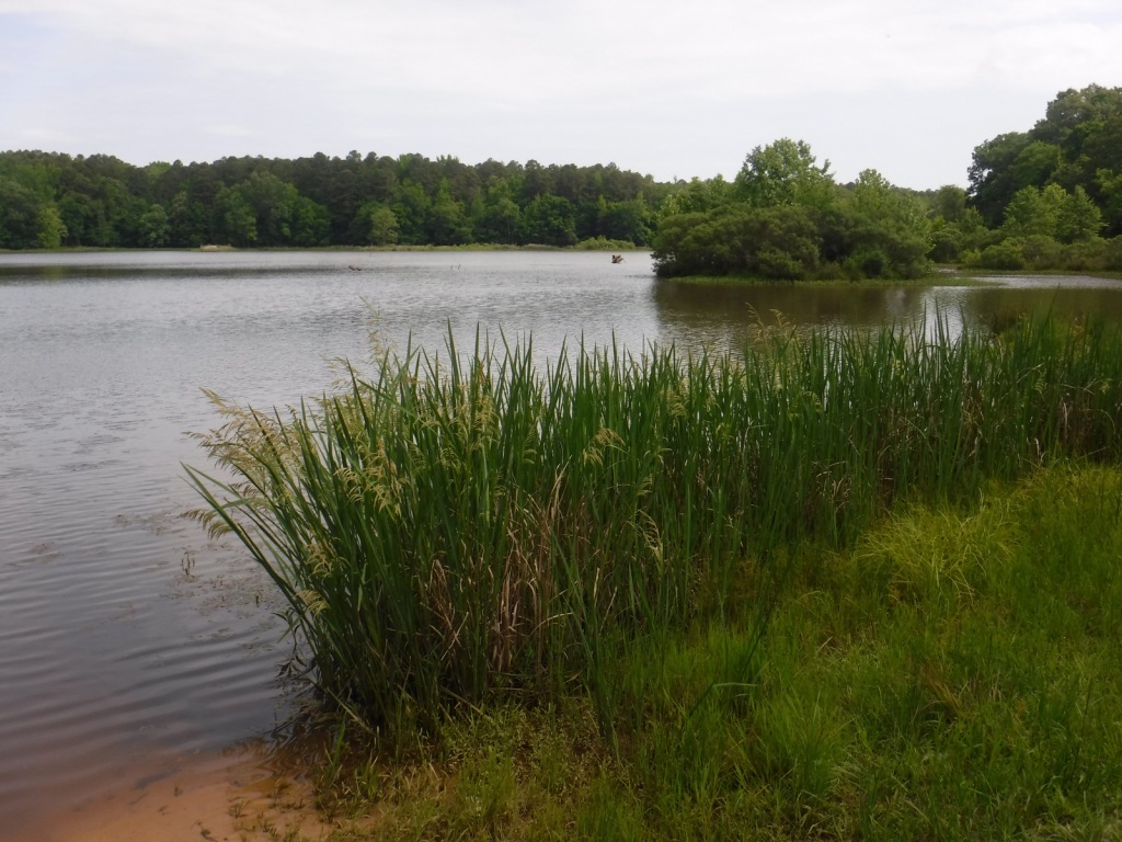
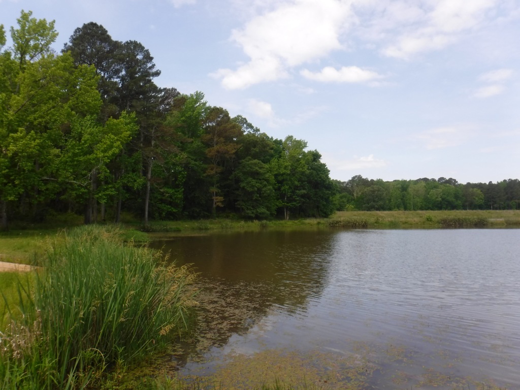
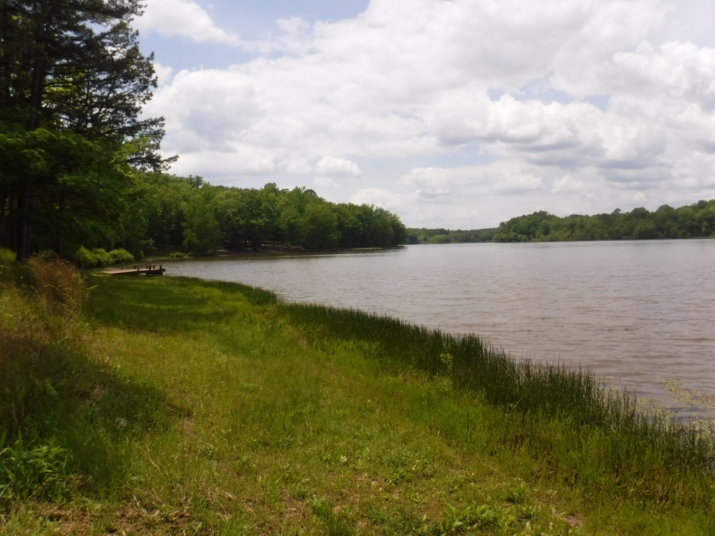
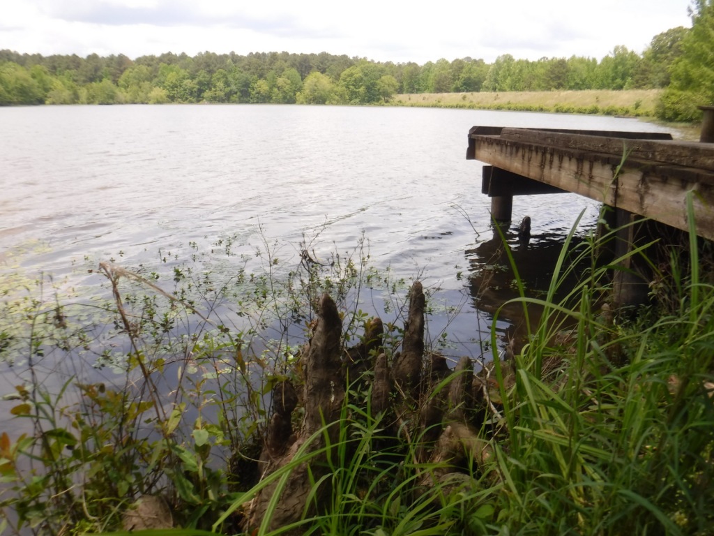
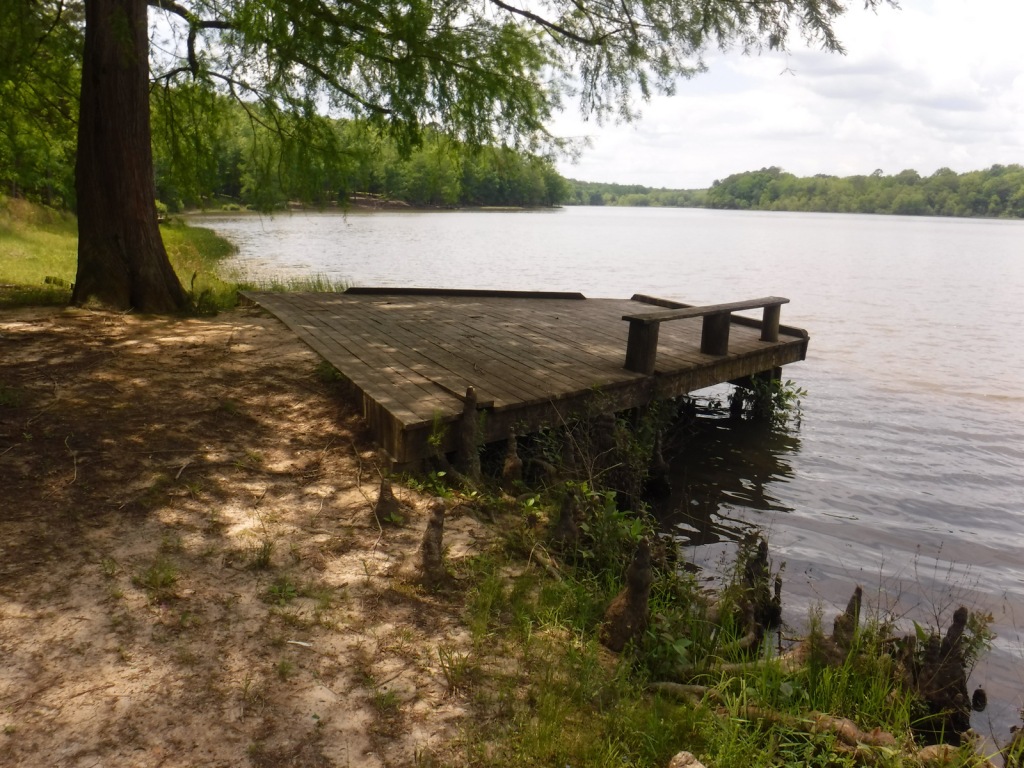
River Road Scenic Byway, Lumberman’s Monument, Canoer’s Memorial, Iargo Springs Interpretive Site, Cooke Dam Pond, Tuttle Marsh, Bull Gap ORV Trail, Hoist Lakes Foot Travel Area, Highbanks Trail, Eagle Run Cross-Country Ski and Hiking Trail
Must-Do Activity
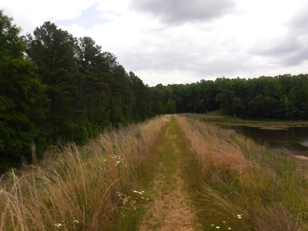
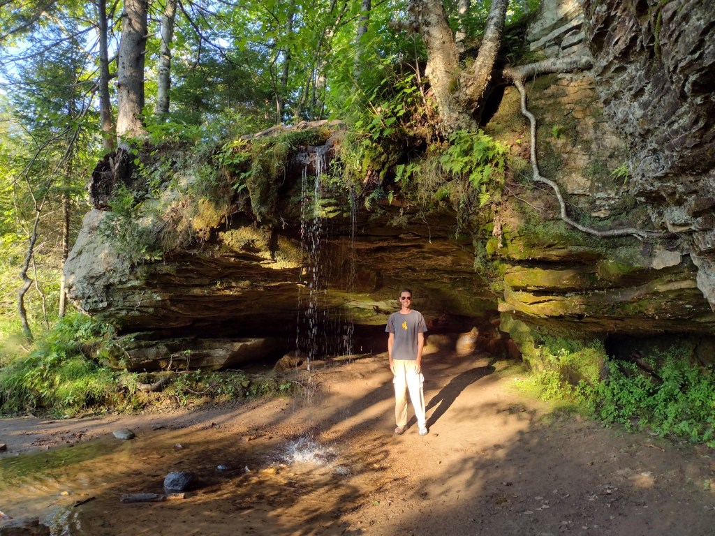
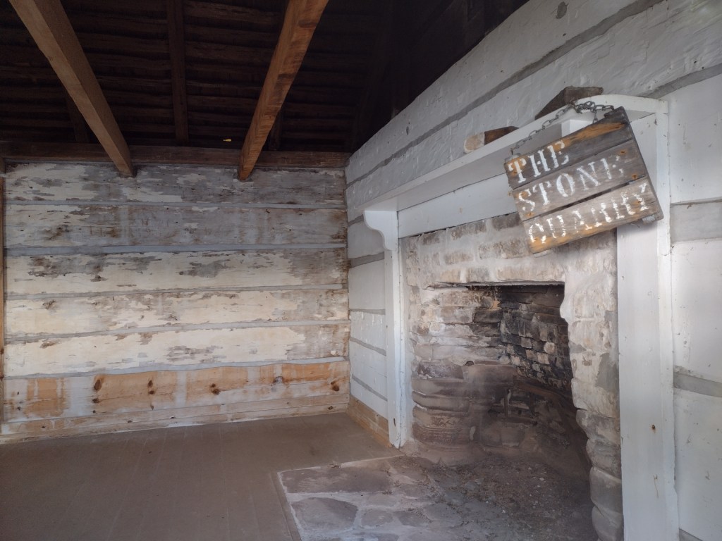
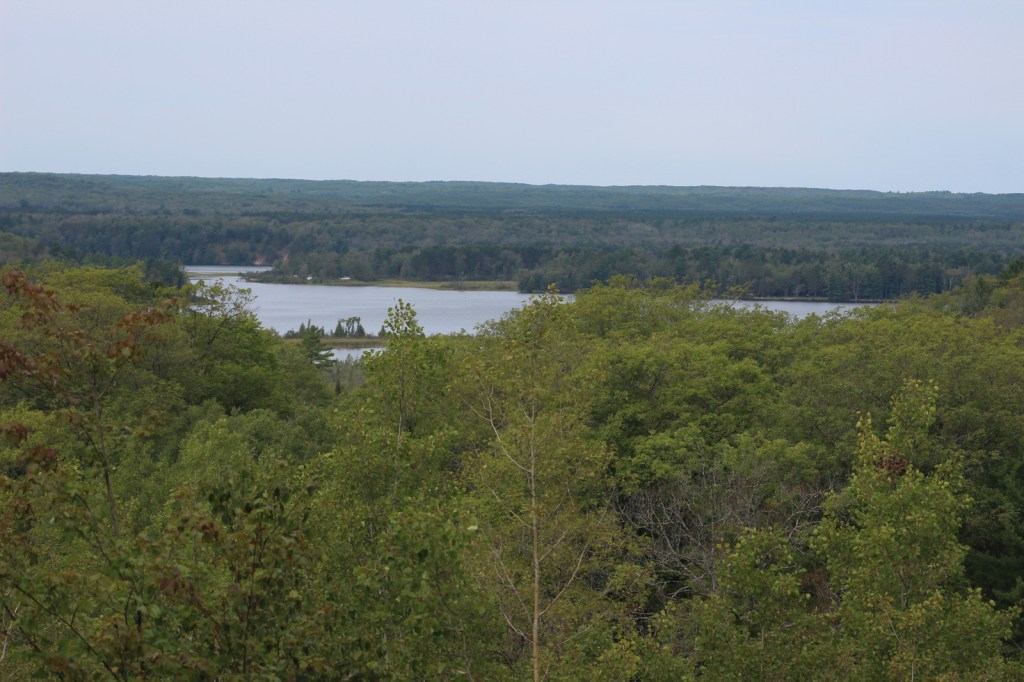
The 22-mile-long River Road Scenic Byway follows the Au Sable National Wild and Scenic River with 18 stops at memorials, overlooks, dams, ponds, trailheads, and campgrounds. The National Forest’s most developed area surrounds the Lumberman’s Monument, a 14-foot bronze statue dedicated in 1932. The site also has a museum, gift shop, interactive visitor activities, hiking trails, and a campground. Three other popular stops along the River Road Scenic Byway are the Iargo Springs Interpretive Site, Kiwanis Monument, and Foote Pond Overlook where visitors might spot a bald eagle.
Best Trail
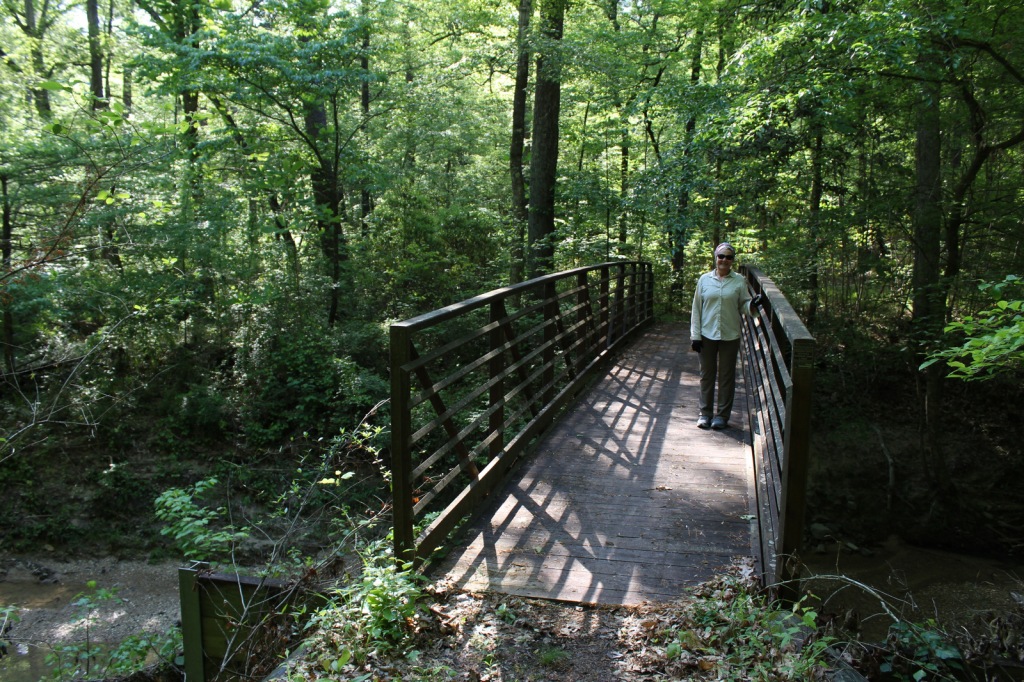
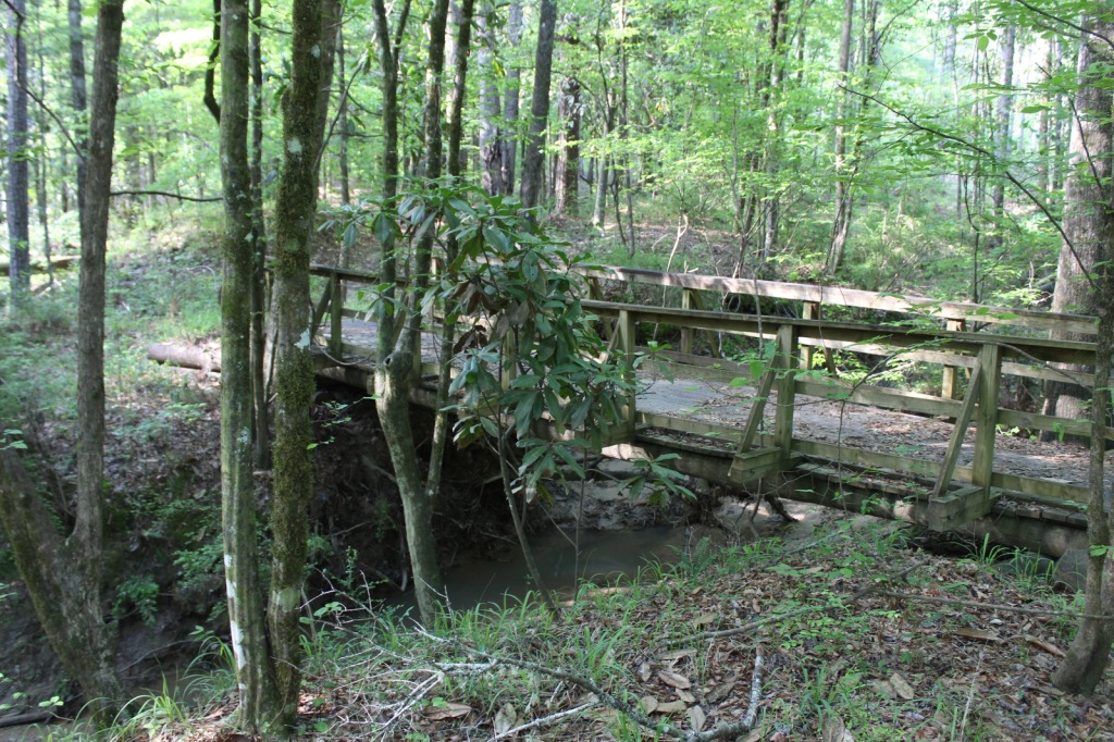
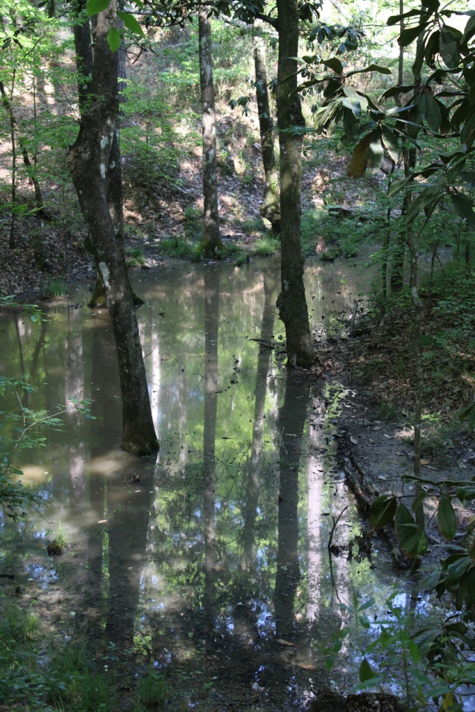
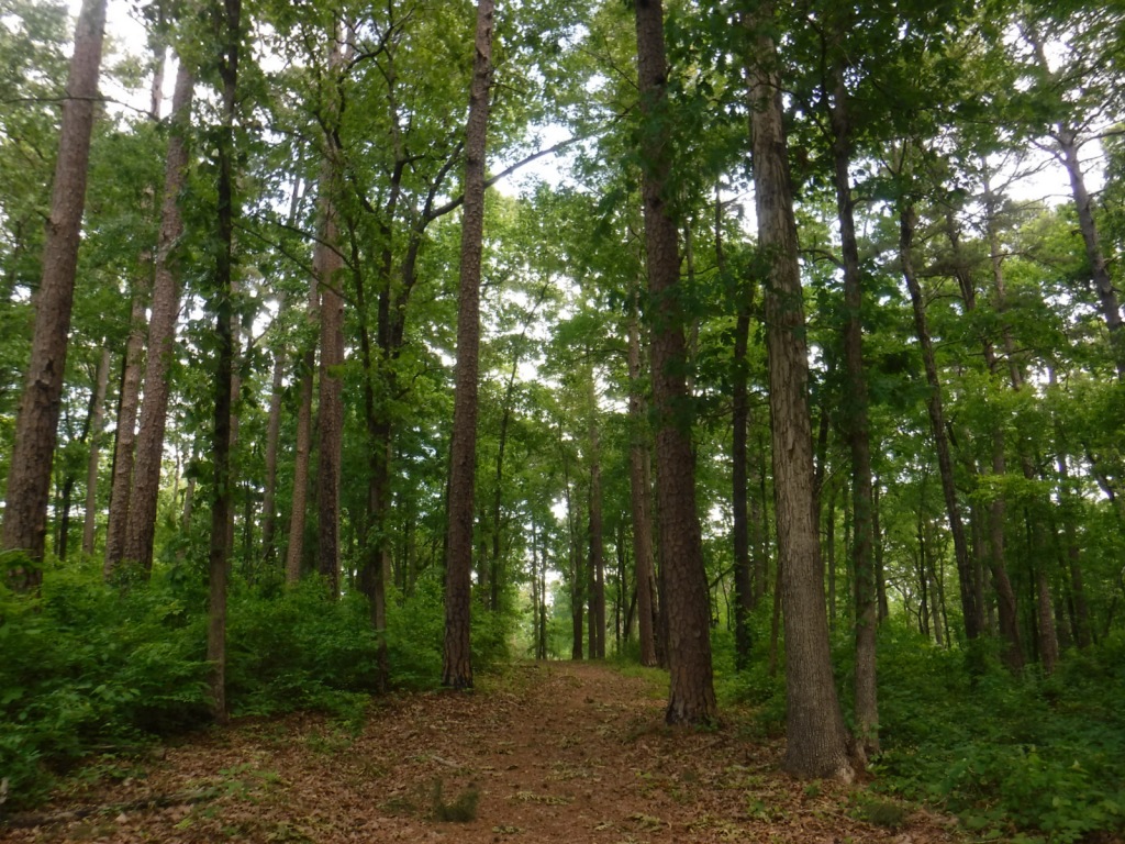
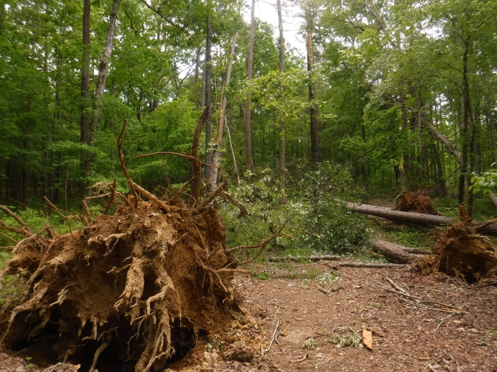
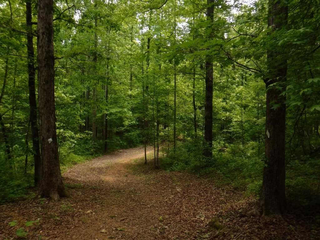
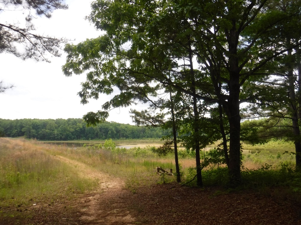
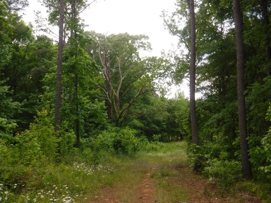
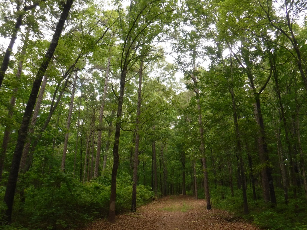
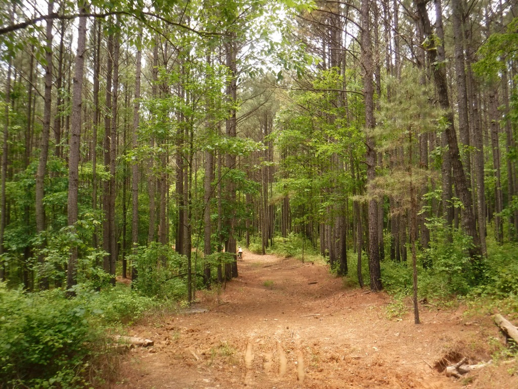
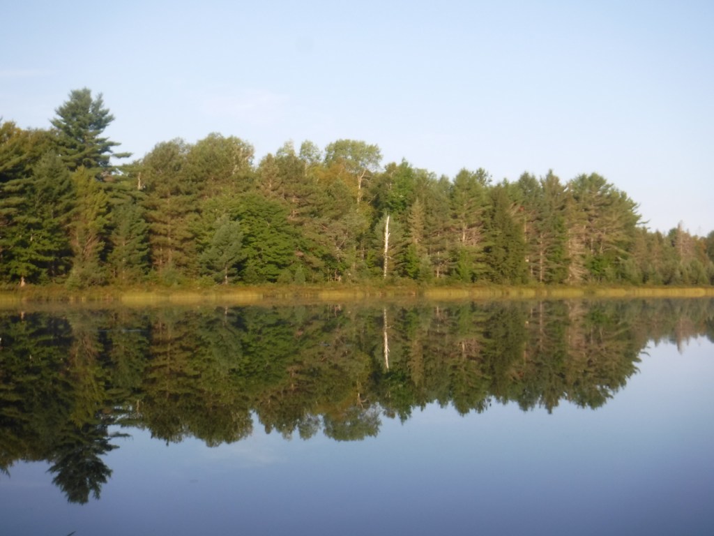
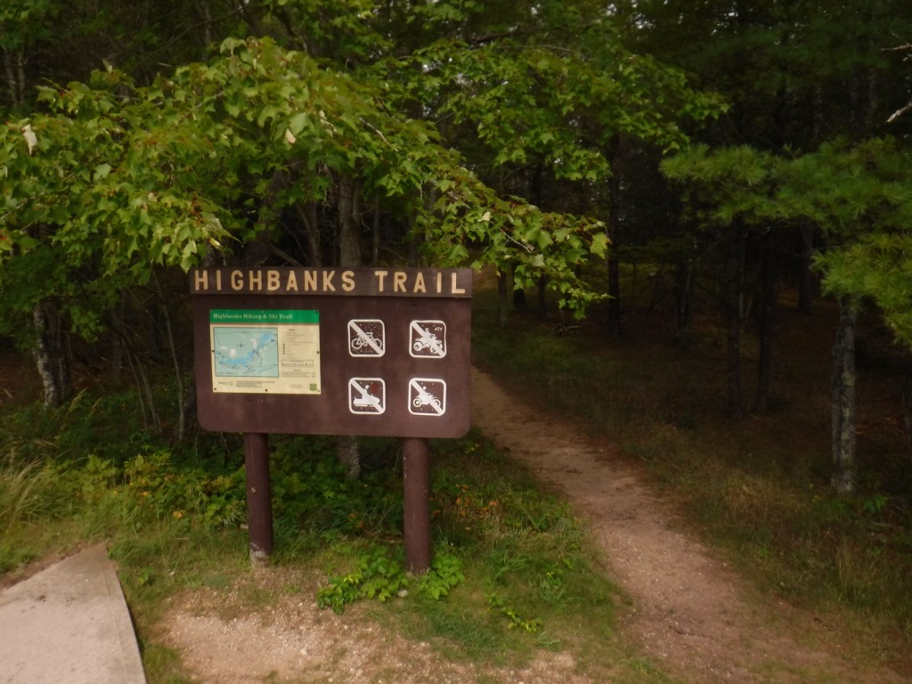
A day use fee is charged to park at the two entrances to Hoist Lakes Foot Travel Area in the northern part of Huron National Forest. We started at the west entrance, just 1.8 sandy miles off paved Aspen Alley Road, and hiked a half-mile to Carp Lake, which had a large beaver hut in its center. There are many loop options in this forest that is being managed for old-growth conditions, which makes it ideal for cross-country skiing.
Watchable Wildlife
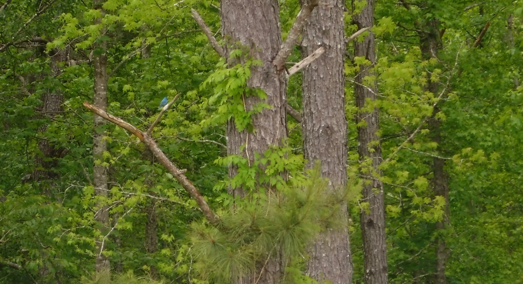
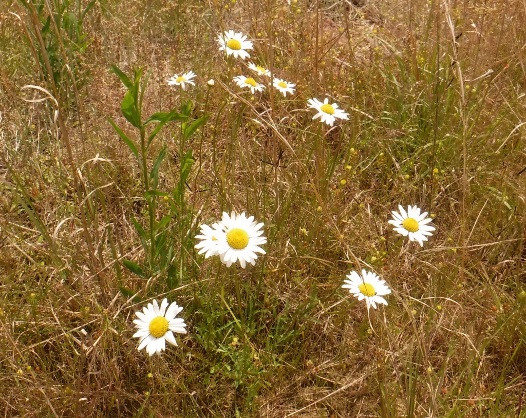
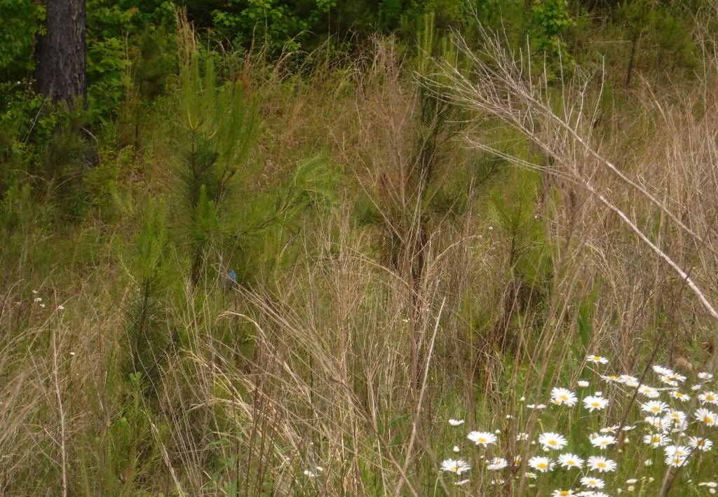
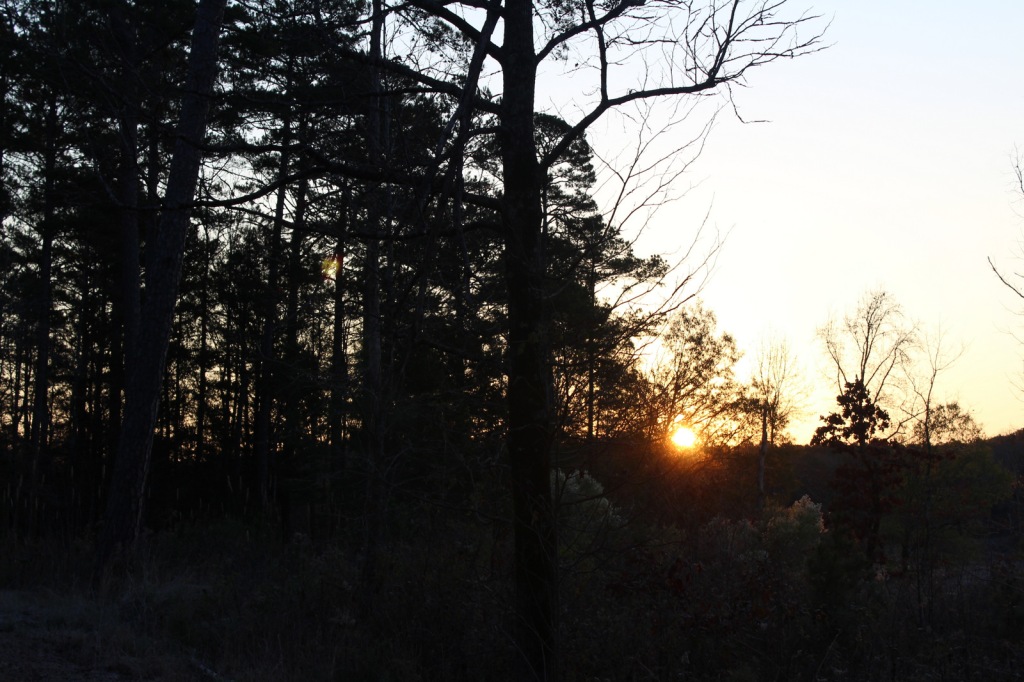
Huron National Forest manages its jack pine forests to provide summer nesting habitat for the formerly-endangered Kirtland’s warbler. After being placed under protection of the Endangered Species Act when its population fell to 167 nesting pairs in 1974, it was delisted in 2019 after rebounding to 2,300 pairs. Since dense, young stands of jack pine are unsuitable habitat, Kirtland’s warblers need old-growth forests, which are extremely susceptible to crown fires. Other species prefer old-growth forests, too, like pileated woodpeckers, saw-whet owls, and pine martens. We saw one of the rare Kirtland’s warblers at Au Sable Scenic River Highbanks Overlook, in addition to spotting a trumpeter swan, hairy woodpecker, raven, black squirrel, porcupine, and white-tailed deer. The Au Sable River offers trout fishing for people and bald eagles.
Instagram-worthy Photo
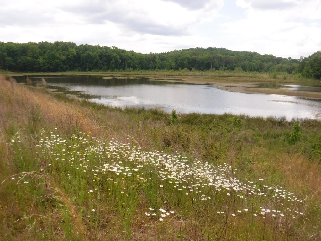
We stopped at Au Sable Scenic River Highbanks Overlook and were able to photograph a Kirtland’s warbler.

Peak Season
Summer
Fees
A day use fee is charged to park at the two entrances to Hoist Lakes Foot Travel Area, or you can use the America the Beautiful pass. Access to the Lumberman’s Monument is free.
Road Conditions
The unpaved roads are very sandy, but they were mostly flat without deep sand and easily drivable with a passenger vehicle in the summer.
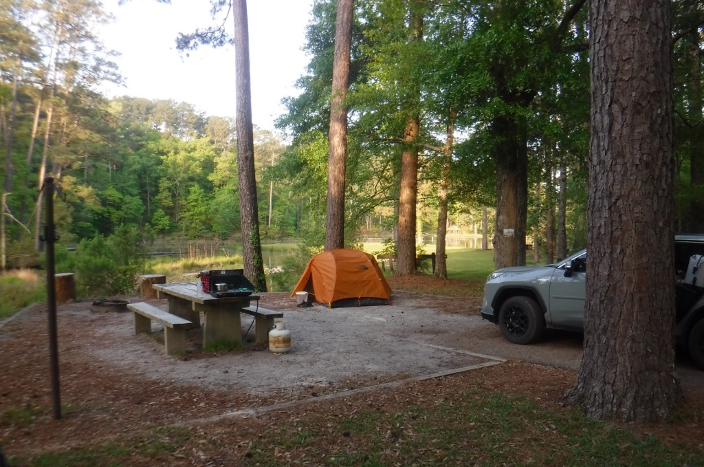
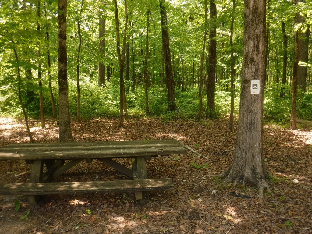
Camping
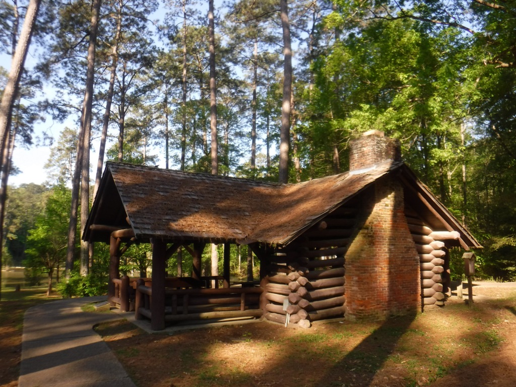
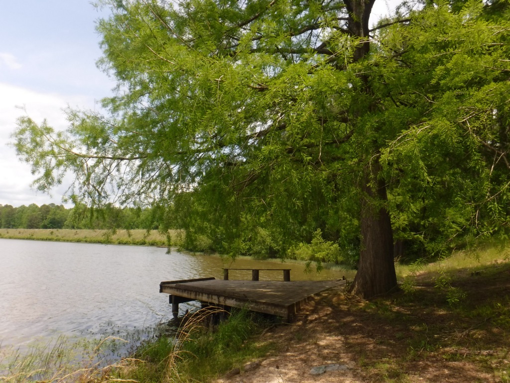
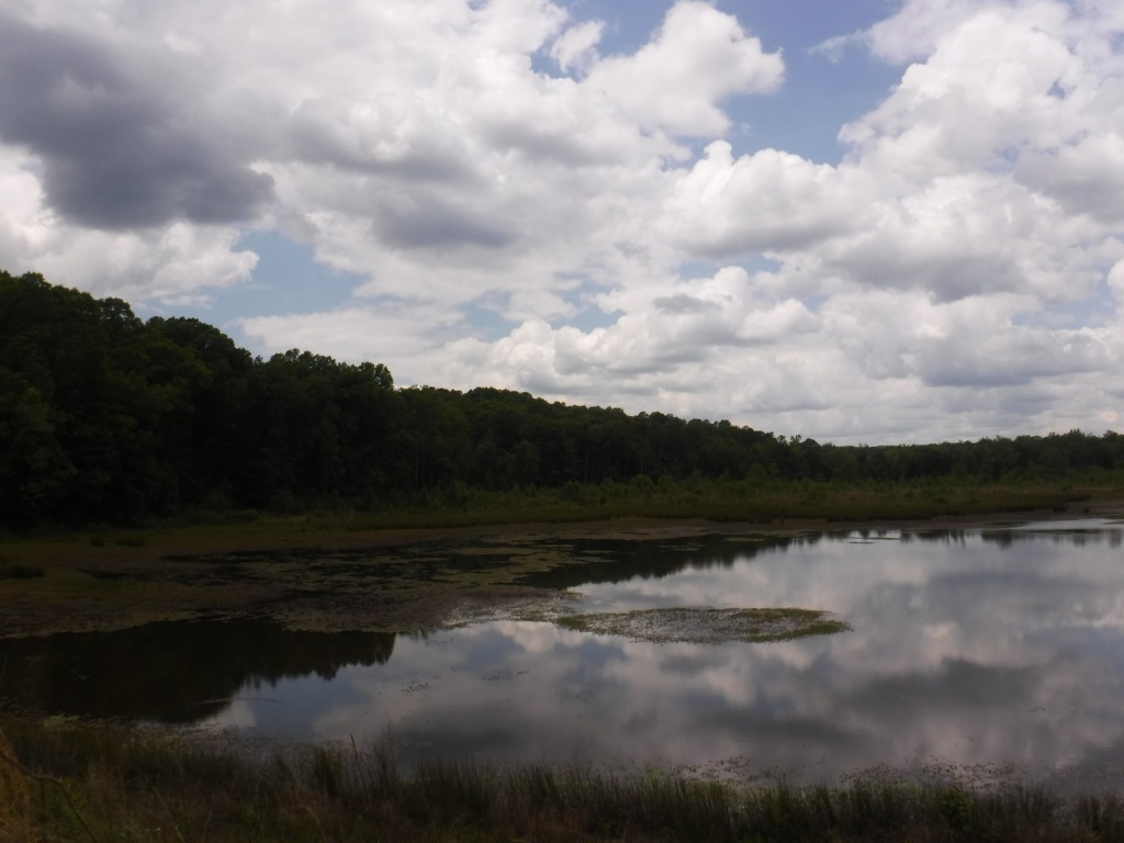
There were signs prohibiting camping at the Hoist Lakes Foot Travel Area trailhead and Au Sable Scenic River Highbanks Overlook, and the dense forest offered no dispersed camping options that we noticed. A developed campground is available at the Lumberman’s Monument, as well as at Algona Dam Pond, Loud Dam Pond, Cooke Dam Pond, and Foote Dam Pond.
Wilderness Areas
None
Related Sites
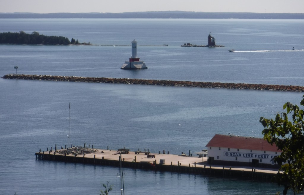
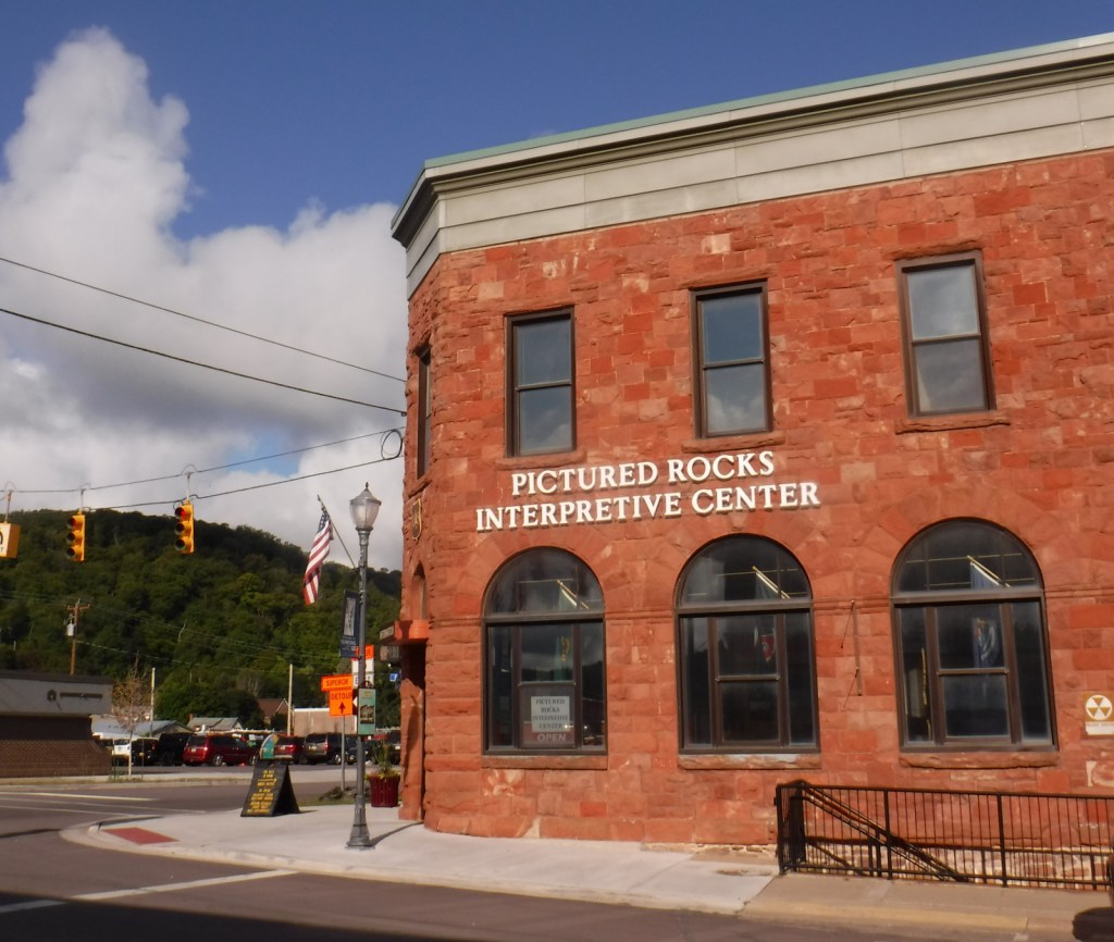
Hiawatha National Forest (Michigan)
Manistee National Forest (Michigan)
River Raisin National Battlefield Park (Michigan)
Nearest National Park


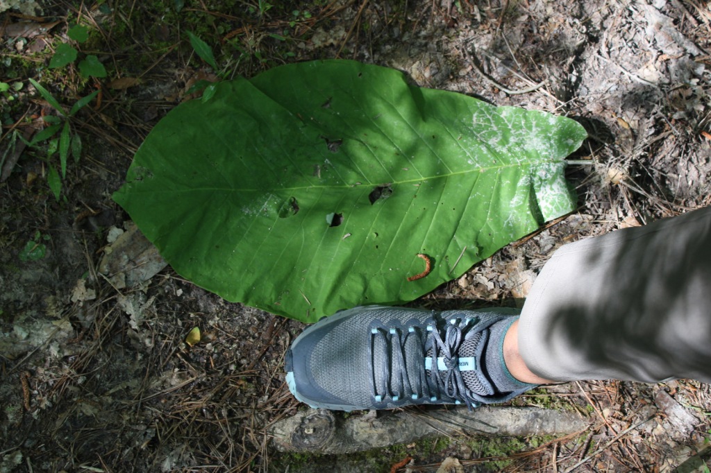
jack pine, red pine, eastern white pine, eastern hemlock, balsam fir, eastern redcedar, northern white-cedar, tamarack
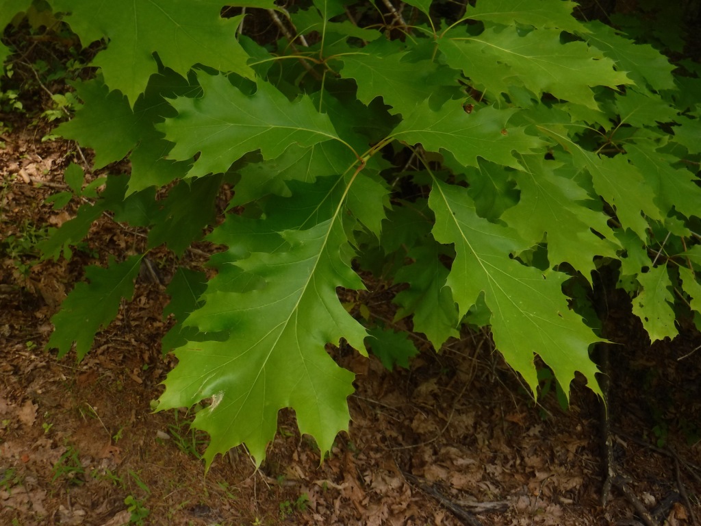
red maple, sugar maple, American elm, black ash, quaking aspen, paper birch, northern red oak, pin cherry, shadbush
Explore More – When the first 120-mile-long Au Sable River Canoe Marathon was held in 1947, who were the two paddlers that won with a time of 21 hours and 40 minutes?

Learn more about this and the 154 other National Forests in our new guidebook Out in the Woods