Kaibab National Forest
Arizona
Managed by U.S. Forest Service, Southwestern Region
1,601,066 acres (1,560,165 federal/ 40,901 other)
Website: https://www.fs.usda.gov/kaibab
Overview
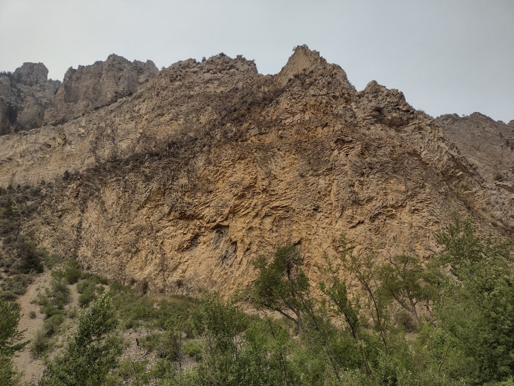
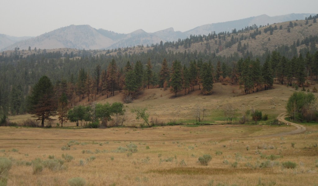
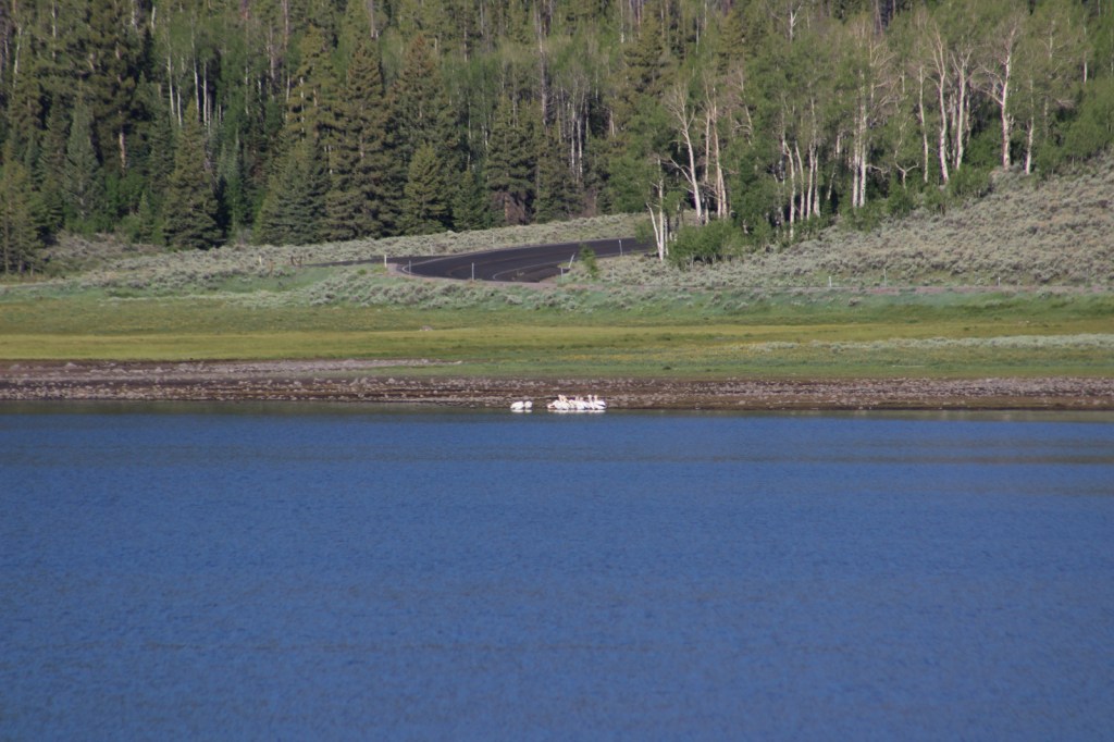
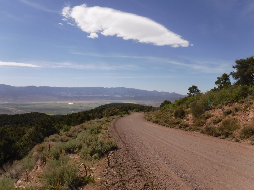
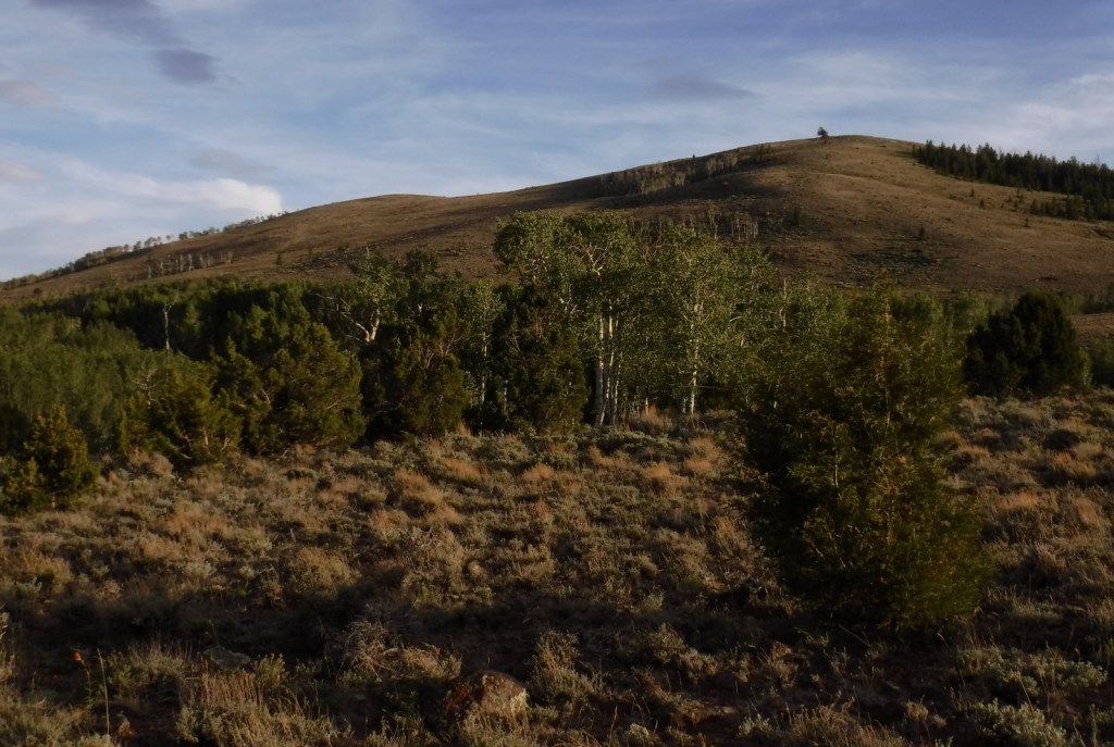
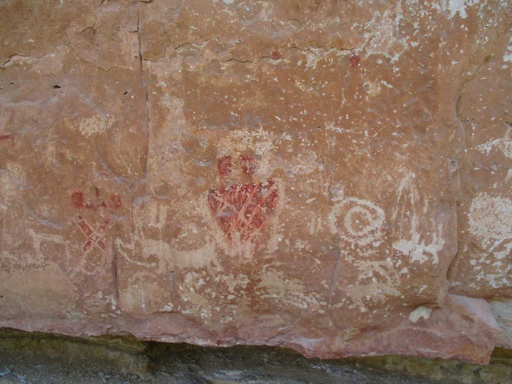
Kaibab National Forest is located both north and south of Grand Canyon National Park, although the paved road from Jacob Lake to the North Rim is closed throughout the winter months due to heavy snowfall on the 9,000-foot Kaibab Plateau. There are numerous dirt roads to explore on each side of the canyon that in 2023 were encompassed into Baaj Nwaavjo I’tah Kukveni – Ancestral Footprints of the Grand Canyon National Monument (see our blog post). The Grand Canyon Forest Reserve was first set aside in 1893, then became Kaibab National Forest in 1908 before Grand Canyon National Park was removed from its acreage a decade later. In 1934, the southern Tusayan National Forest was joined to form the present boundaries.
Know someone who loves the National Forests? Gift them our travel guidebook Out in the Woods so they can learn more about all 155 National Forests.

Highlights
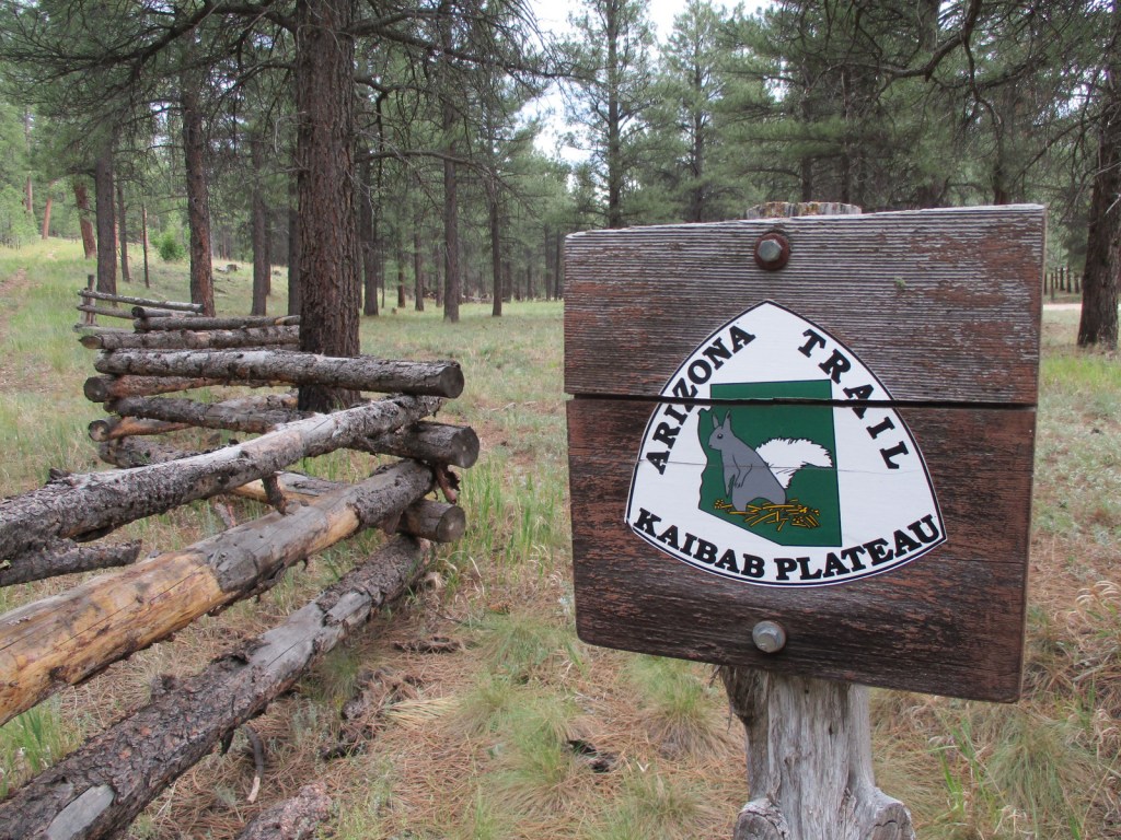
Kaibab Plateau Scenic Byway, Hull Cabin, Snake Gulch, Kendrick Peak, Sycamore Canyon, Beale Wagon Road, Overland Road, Bill Williams Mountain, Kanab Creek Wilderness, Thunder River Trail
Must-Do Activity
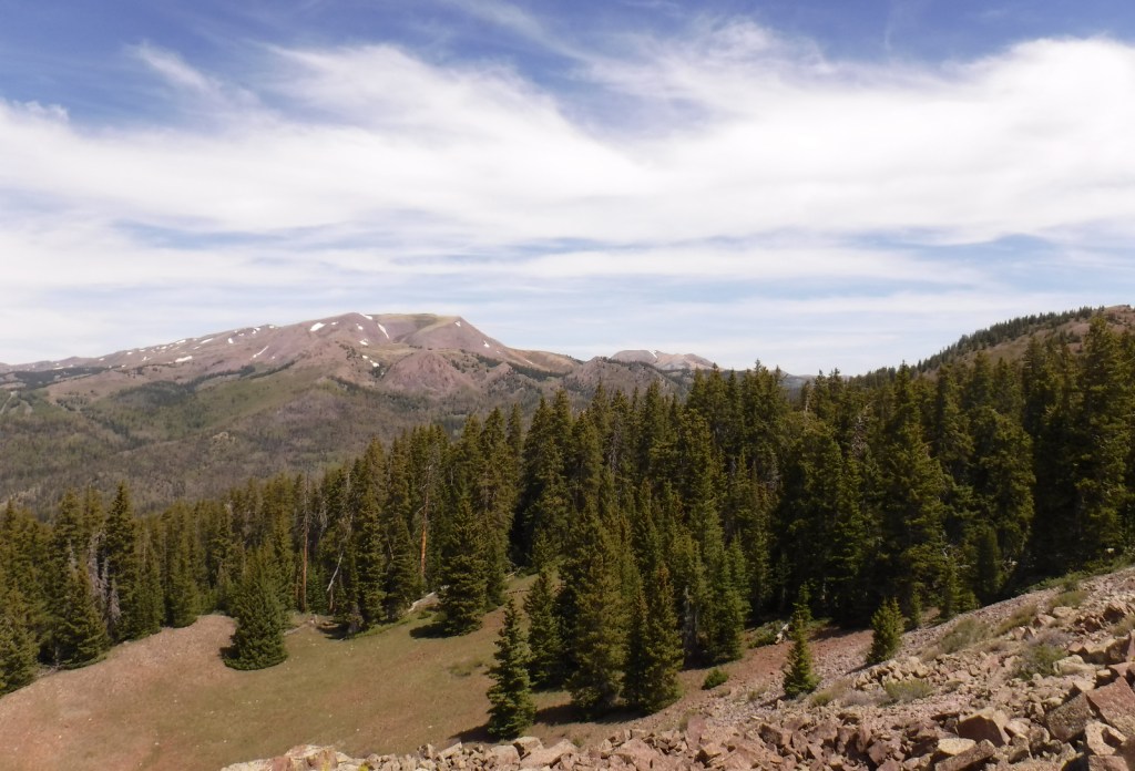
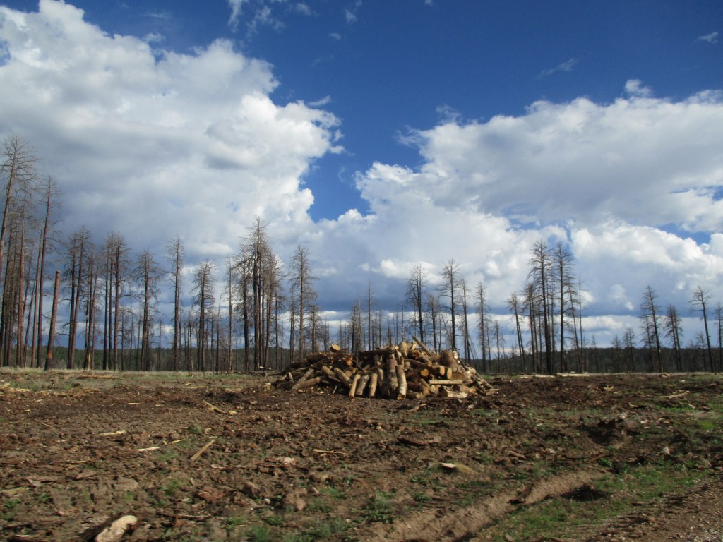
The highest point in Kaibab National Forest is 10,418-foot Kendrick Peak located in the Kendrick Peak Wilderness northwest of Flagstaff, which experienced a large wildfire in 2000. Scott started as a student at Northern Arizona University the next year, and has been able to watch this area recover over the decades since. Seven miles of dirt roads leave Highway 180 to access the Kendrick Mountain Trailhead at 7,980 feet in elevation. A steep, switchbacking 4.6-mile one-way trail partly follows a closed road to the top past Old Lookout Cabin (built in 1912). Bull Basin and Pumpkin Trails also lead to Kendrick Peak, but require more dirt road driving. From the summit, views are good north towards the Grand Canyon and east to the taller San Francisco Peaks within Coconino National Forest.
Best Trail
Bill Williams Mountain dominates the skyline in the town of Williams, the southern terminus of the 65-mile-long Grand Canyon Railway. Several routes climb to the top of the peak, but Bixler Saddle Trail starts higher than the others at 7,700 feet. It is accessed by a rocky road that leads to a small parking area at the saddle. From there the trail gains 1,000 feet in elevation in 2.5 miles before connecting with Bill Williams Mountain Trail to finish climbing a half-mile to the lookout tower at 9,256 feet. No matter how you summit, at the top there are breathtaking views in all directions.
Watchable Wildlife
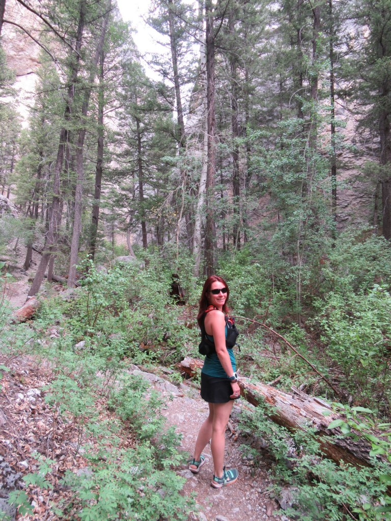
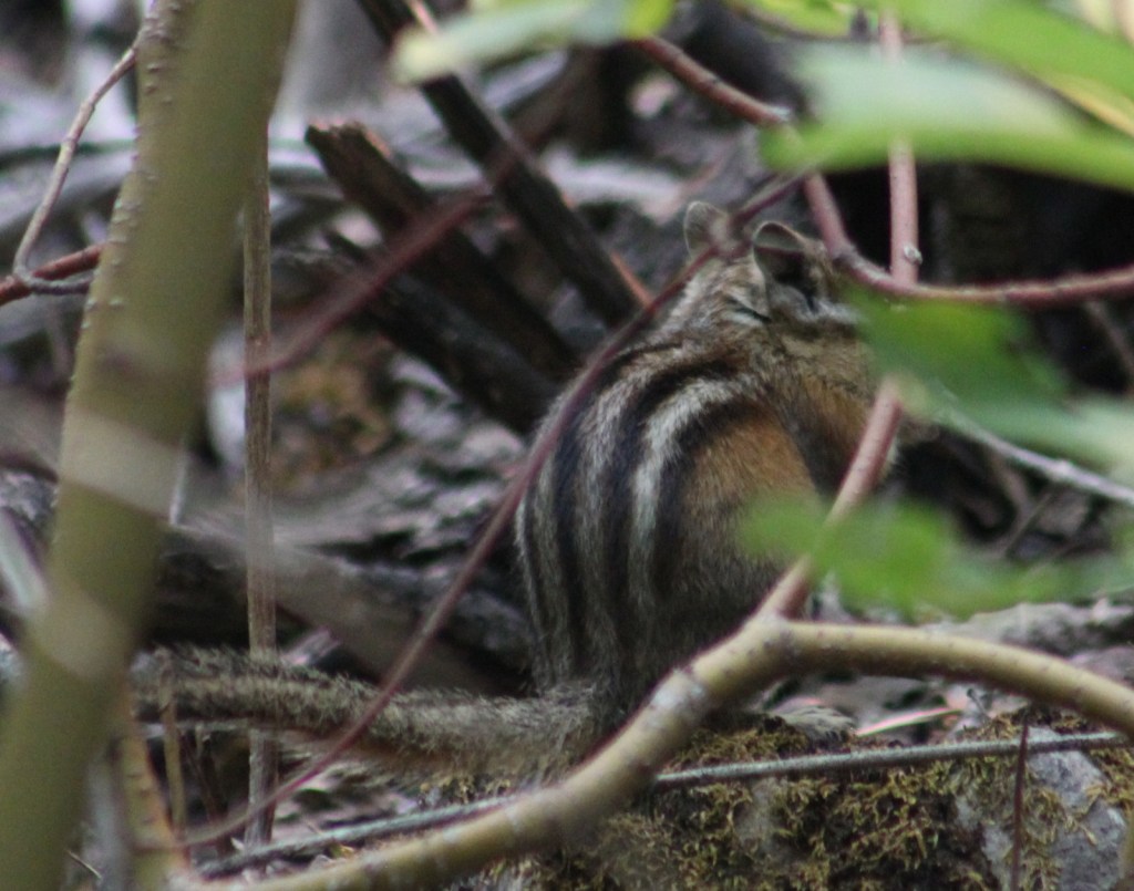
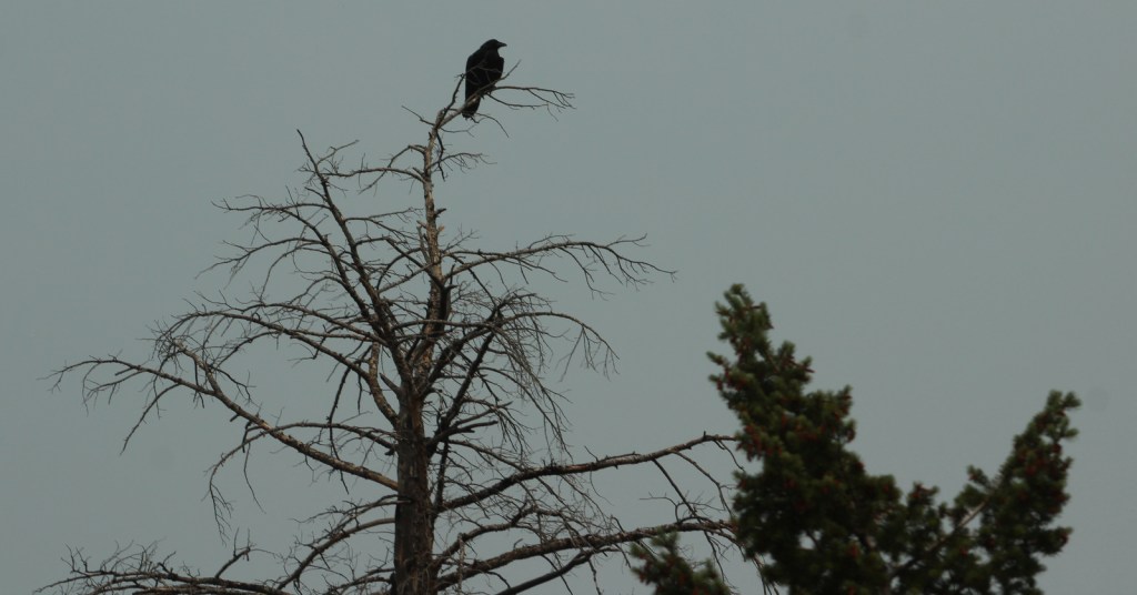
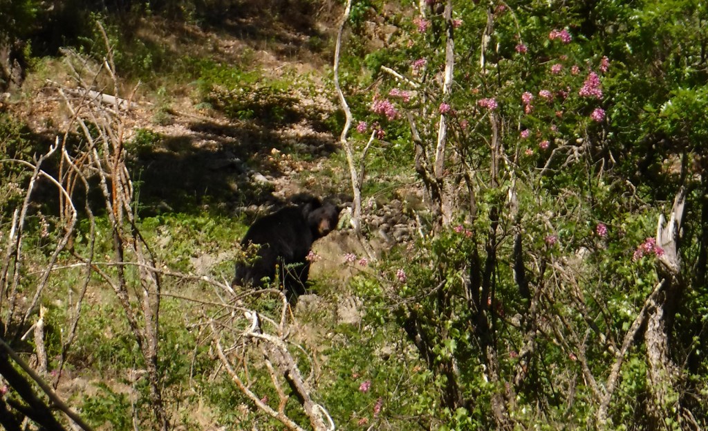
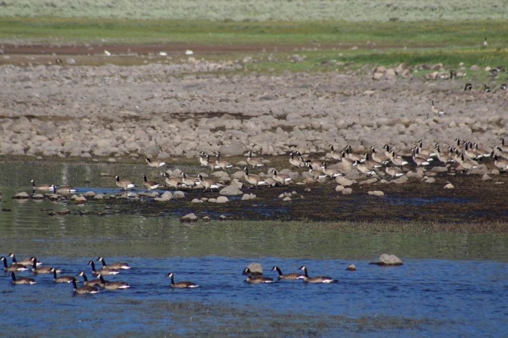
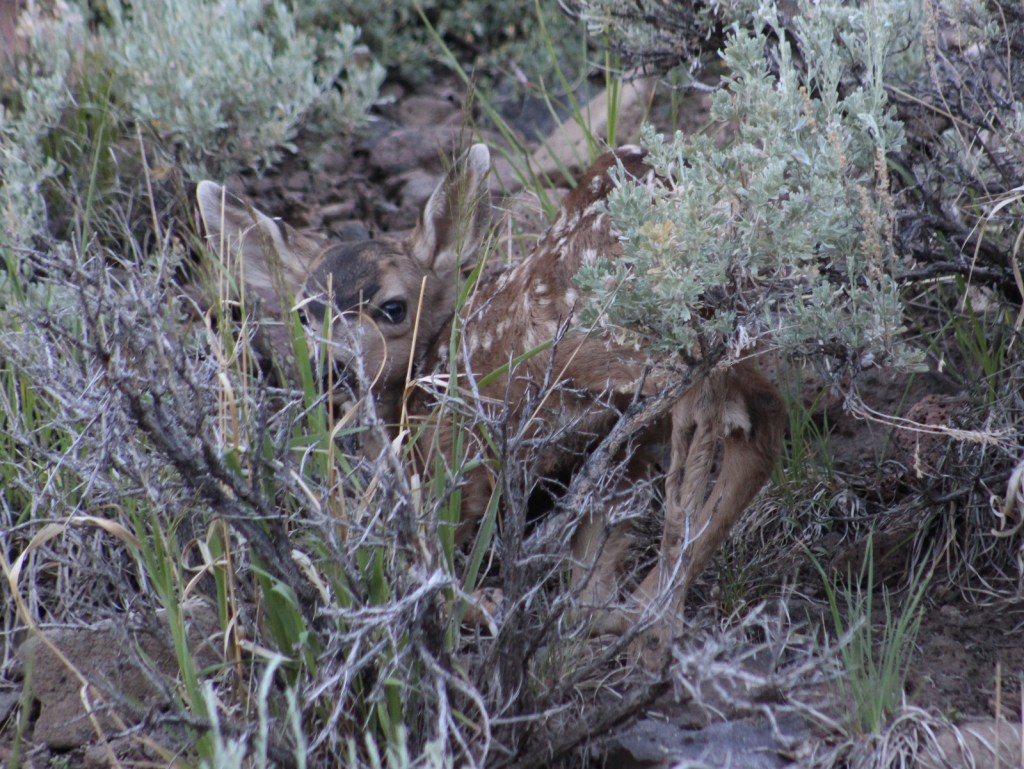
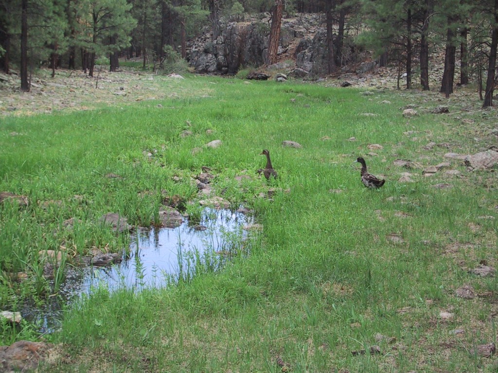
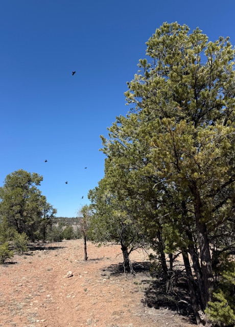
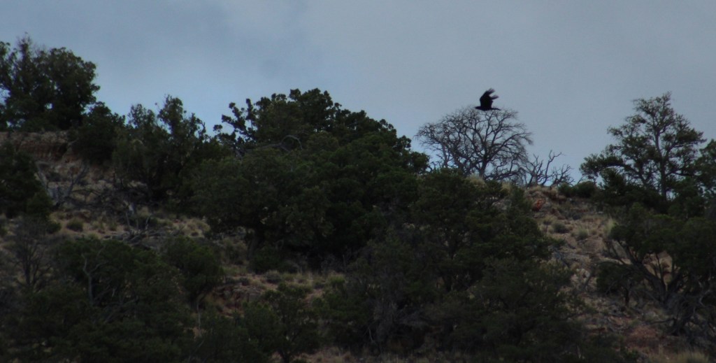
Elk and mule deer are commonly seen on both sides of the Grand Canyon. Apparently, bison were introduced in the early 1900s and now roam freely in the National Forest, in addition to mountain lions, bobcats, and black bears. The canyon formed a natural barrier for the evolution of distantly-related Kaibab squirrels on the North Rim, a subspecies of the Abert’s squirrels found on the South Rim. Common birds include wild turkeys, robins, nuthatches, northern flickers, rufous hummingbirds, Steller jays, American crows, common ravens, and a variety of hawks. Fishing is a popular activity, with some excellent trout streams found in the National Forest.
Instagram-worthy Photo
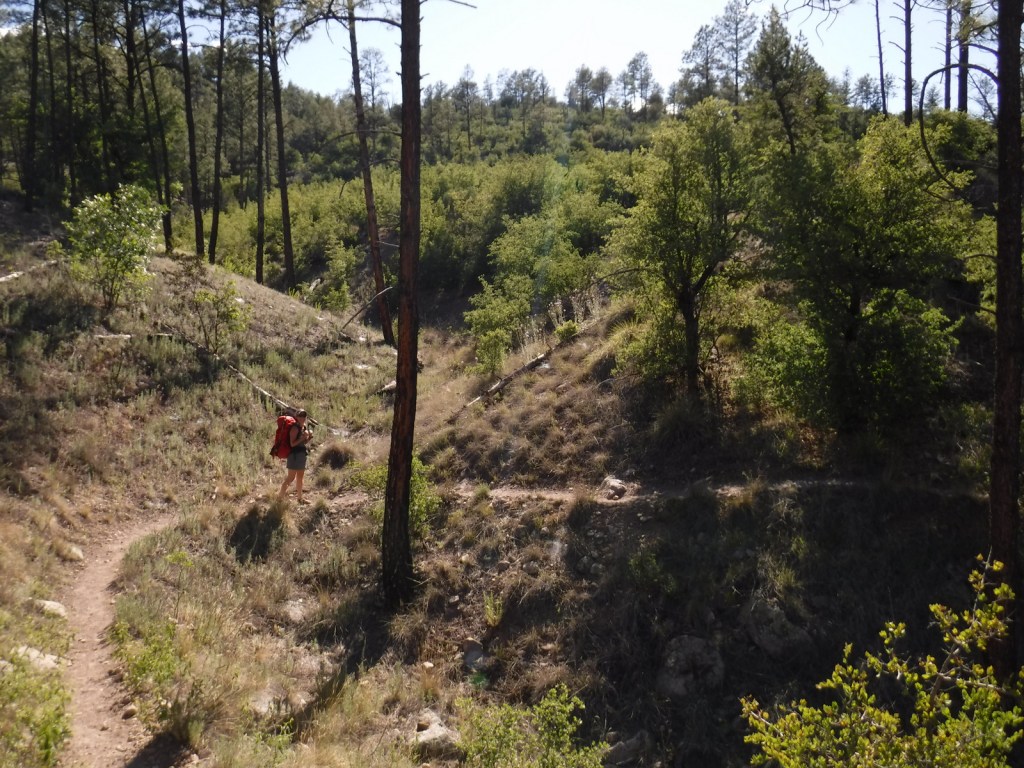
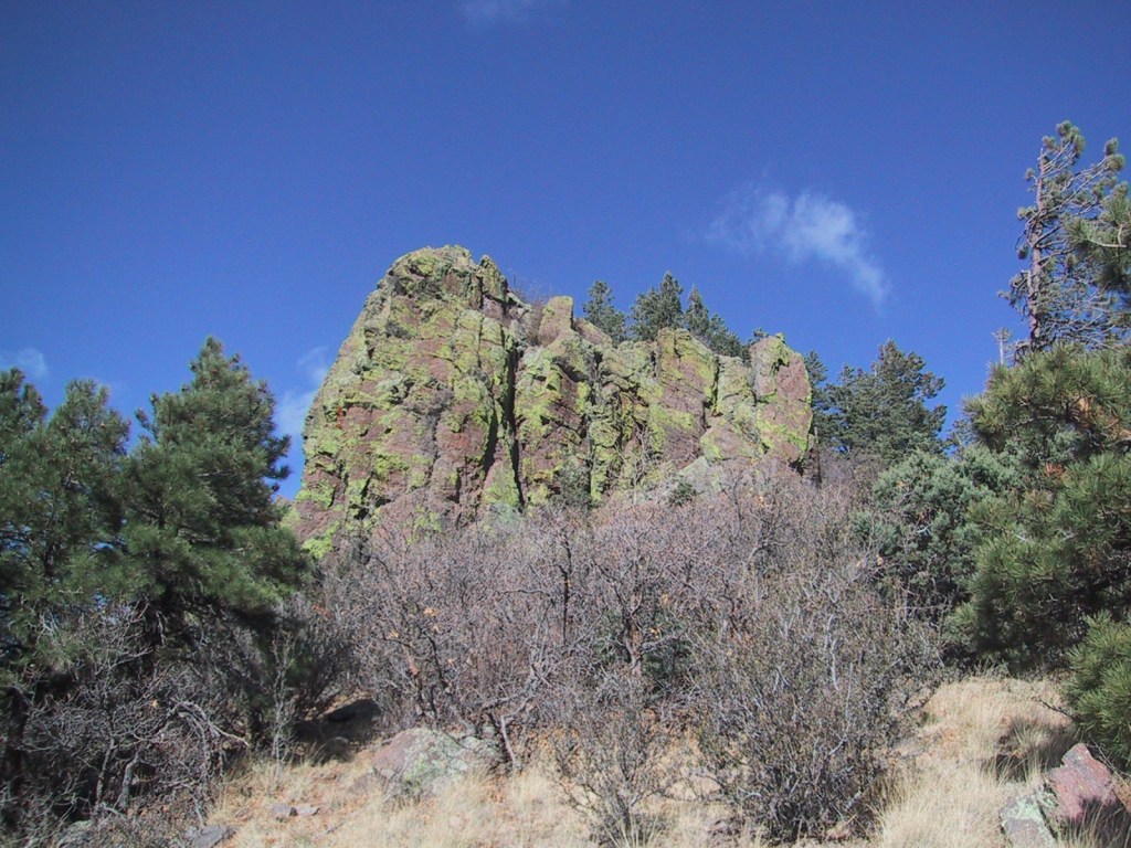
There are five trailheads that access the 12-mile Sycamore Rim Trail loop, located south of Interstate 40 after driving ten miles of good dirt road. The trail passes through a ponderosa pine forest with overlooks of the Sycamore Canyon Wilderness, also managed by Coconino and Prescott National Forests.

Peak Season
Summer
Fees
None
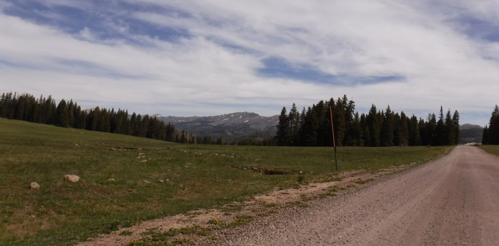
Road Conditions
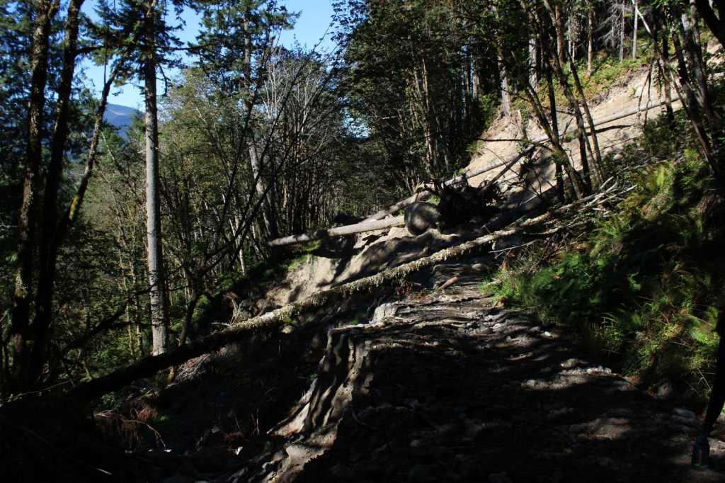
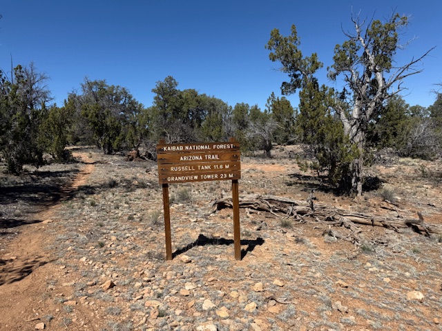
The paved road from Jacob Lake, Arizona to the North Rim of Grand Canyon National Park is closed throughout the winter months due to heavy snowfall. There are countless miles of dirt roads on each side of the canyon that access trailheads and allow for dispersed camping.
Camping
There are numerous campgrounds spread throughout the National Forest, as well as rentals of the historic 1917 Spring Valley Cabin and 1889 Hull Cabin (within the newly created Baaj Nwaavjo I’tah Kukveni – Ancestral Footprints of the Grand Canyon National Monument).
Wilderness Areas
Kanab Creek Wilderness
Kendrick Mountain Wilderness (also in Coconino National Forest)
Saddle Mountain Wilderness
Sycamore Canyon Wilderness (also in Coconino and Prescott National Forests)
Related Sites
Pipe Spring National Monument (Arizona)
Tuzigoot National Monument (Arizona)
Sunset Crater Volcano National Monument (Arizona)
Nearest National Park


ponderosa pine, limber pine, southwestern white pine, two-needle pinyon pine, Utah juniper, one-seed juniper, Rocky Mountain juniper, Douglas-fir, white fir, Engelmann spruce
Gambel oak, quaking aspen, boxelder, Arizona sycamore, Arizona walnut, Fremont cottonwood
Explore More – Kaibab is the Paiute name for the Grand Canyon, which translates as what?

Learn more about this and the 154 other National Forests in our new guidebook Out in the Woods