Lolo National Forest
Montana
Managed by U.S. Forest Service, Northern Region
2,639,224 acres (2,197,966 federal/ 441,258 other)
Website: https://www.fs.usda.gov/r01/lolo
Overview
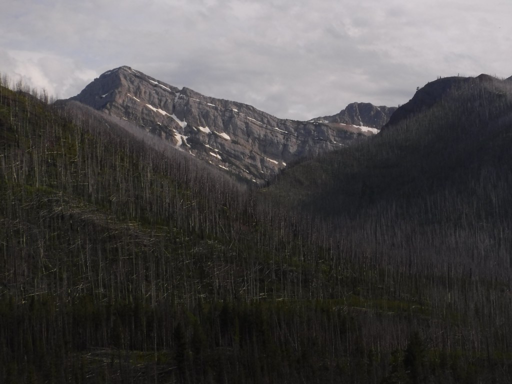
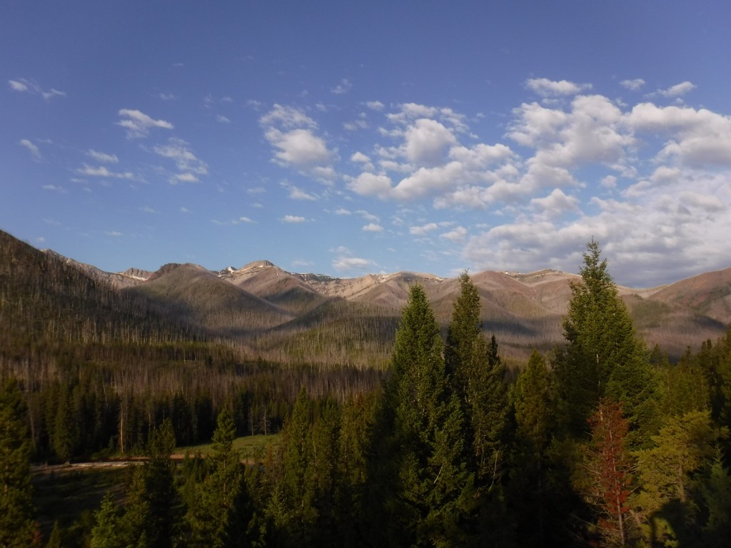
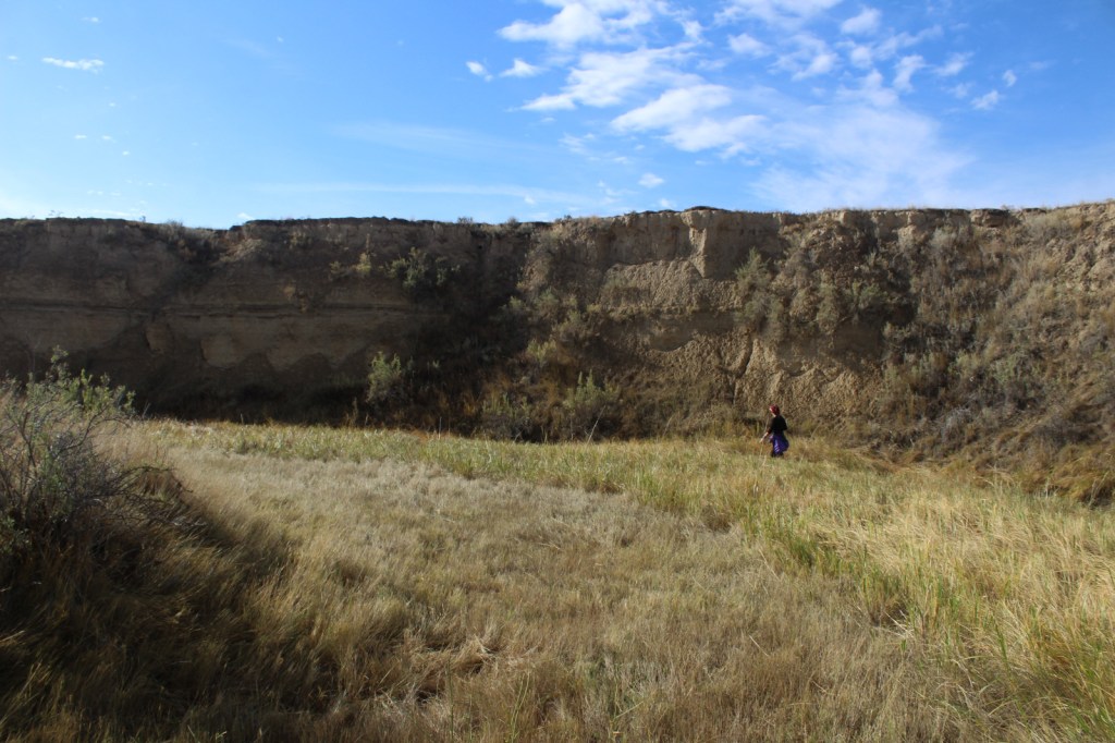
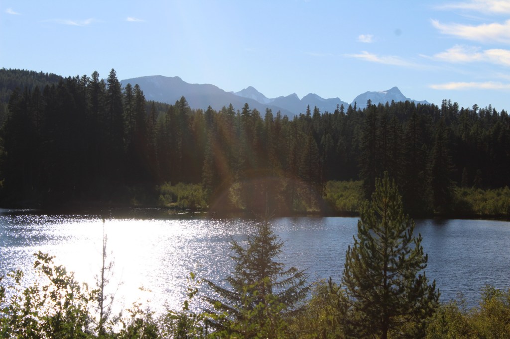
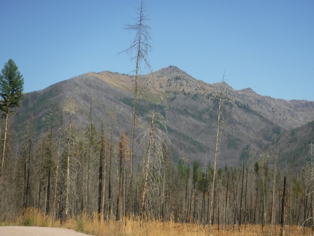
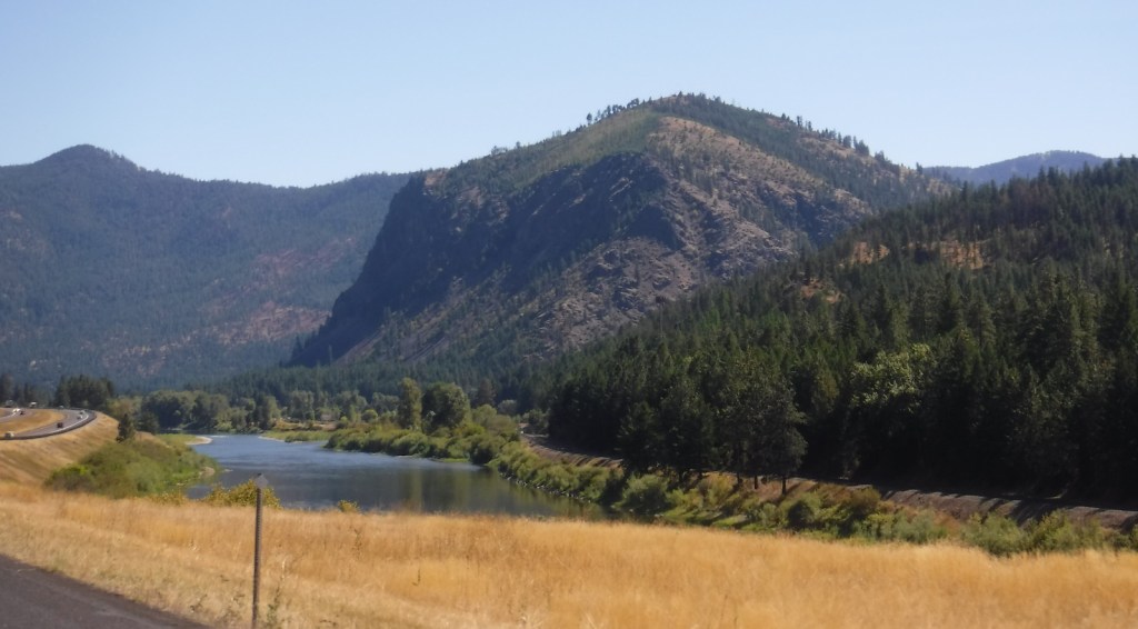
Located in western Montana, the elevation of Lolo National Forest ranges from less than 2,400 feet on the Clark Fork River below Thompson Falls to the top of 9,186-foot Scapegoat Mountain. West of Missoula off Interstate 90, the Ninemile Historic Remount Depot preserves a Civilian Conservation Corps (CCC) camp and pack stock training facility. Founded in 1907, the Savenac Historic Tree Nursery Area is also well developed for visitors, including an arboretum and cabin rentals in what were formerly the cookhouse and bunkhouse.
Know someone who loves the National Forests? Gift them our travel guidebook Out in the Woods so they can learn more about this and the 154 other National Forests.

Highlights
Rattlesnake National Recreation Area, Lolo Pass Visitor Center, Lolo National Historic Trail, Fort Fizzle, Blue Mountain Recreation Area, Cascade Falls, Savenac Nursery, Petty Creek Bighorn Sheep Viewing Site, Clearwater Canoe Trail, Stark Mountain Vista, Lewis and Clark National Historic Trail
Must-Do Activity
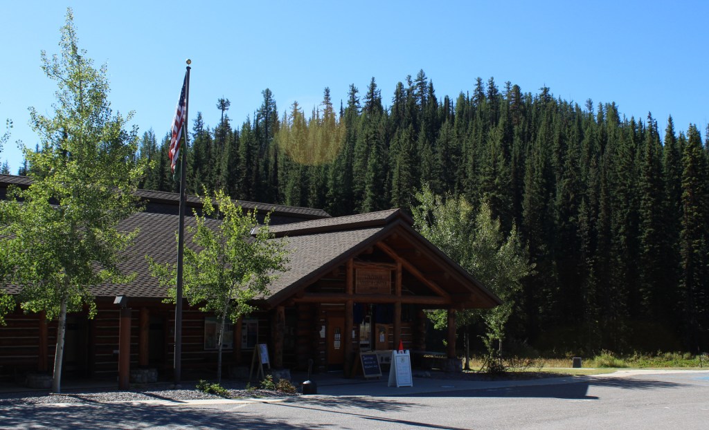
Lolo National Forest surrounds Missoula, where the Aerial Fire Depot and Smokejumper Center offers guided tours and exhibits. Right outside of the city are numerous hiking trails in Blue Mountain Recreation Area and Rattlesnake National Recreation Area, which contains 73 miles of trails (and has its own blog entry on our website). Following a path used by the Corps of Discovery in 1805, the Lolo National Historic Trail shadows Highway 12 west into Idaho (see Clearwater National Forest). Take time to stop at the Lolo Pass Visitor Center managed by the U.S. Forest Service.
Best Trail
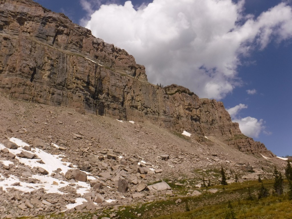
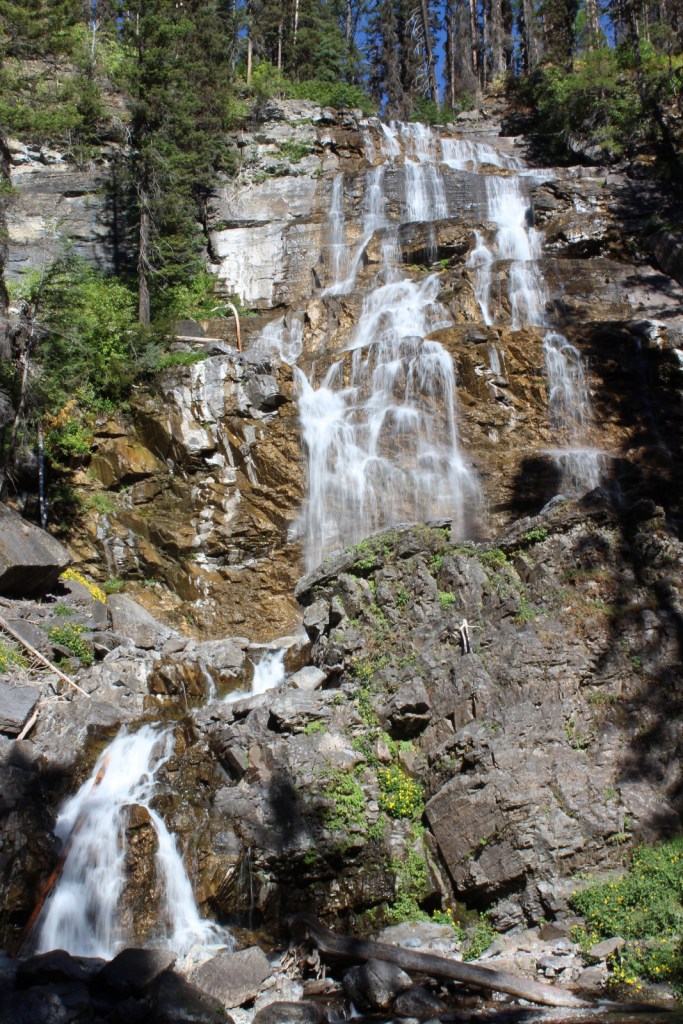
Morrell Falls National Recreation Trail leads to a 90-foot-tall waterfall on the western slope of the Swan Range. The trail is 5.5 miles out-and-back, mostly flat with some short inclines as it cuts through a burned area now full of beargrass and fireweed. The waterfall cascades down a rocky outcrop and is well lit in the afternoon. The trailhead is located 7.5 miles from Highway 83 on a good gravel road that has well-signed intersections. Also nearby, the Pyramid Pass Trailhead provides access to the Bob Marshall Wilderness in adjacent Flathead National Forest.
Watchable Wildlife
There are 60 species of mammals found in Lolo National Forest, including grizzly/brown bears, black bears, mountain lions, gray wolves, mountain goats, bighorn sheep, elk, moose, and mule deer. Among the largest of the more than 300 birds spotted are bald eagles, golden eagles, and trumpeter swans. The five rivers and over 100 lakes are home to 30 varieties of ducks and 20 types of fish.
Photographic Opportunity
Located on the western slope of the Swan Range, 90-foot-tall Morrell Falls is accessed on a 5.5-mile out-and-back hike.

Peak Season
Summer
Fees
None
Road Conditions
The unpaved roads we took were in good shape to Morrell Falls National Recreation Trail and Rattlesnake National Recreation Area.
Camping
The forest has 12 improved campgrounds and several historic fire lookout towers available for overnight rental through the website Recreation.gov.
Wilderness Areas
Rattlesnake Wilderness
Scapegoat Wilderness (also in Helena and Lewis and Clark National Forests)
Selway-Bitterroot Wilderness (also in Bitterroot, Clearwater, and Nez Perce National Forests)
Welcome Creek Wilderness
Related Sites
Deerlodge National Forest (Montana)
Upper Missouri River Breaks National Monument (Montana)
Beaverhead National Forest (Montana)
Nearest National Park


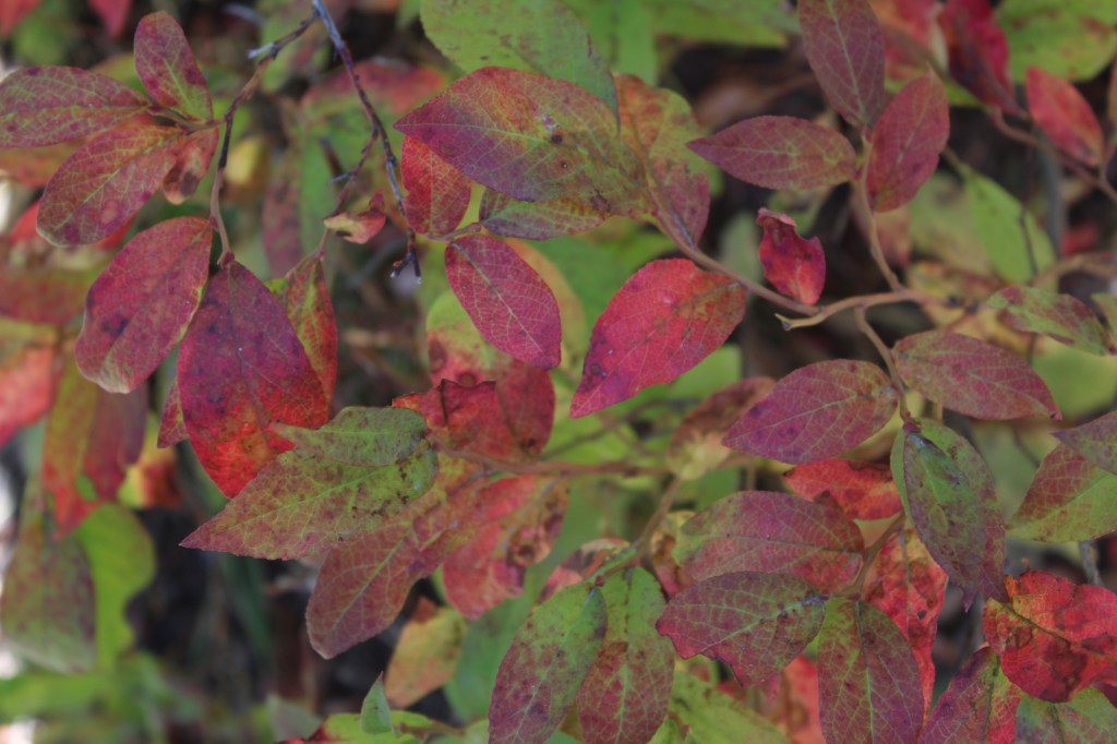


western redcedar, alpine larch, western larch, whitebark pine, ponderosa pine, grand fir, subalpine fir, Engelmann spruce, mountain hemlock
quaking aspen, Rocky Mountain maple, western serviceberry
Explore More – What is the origin of the name Lolo?

Know someone who loves the National Forests? Gift them our travel guidebook Out in the Woods so they can learn more about this and the 154 other National Forests.